
![]()
|
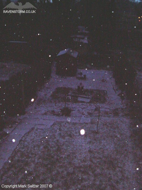
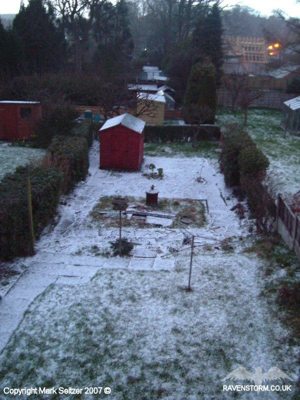
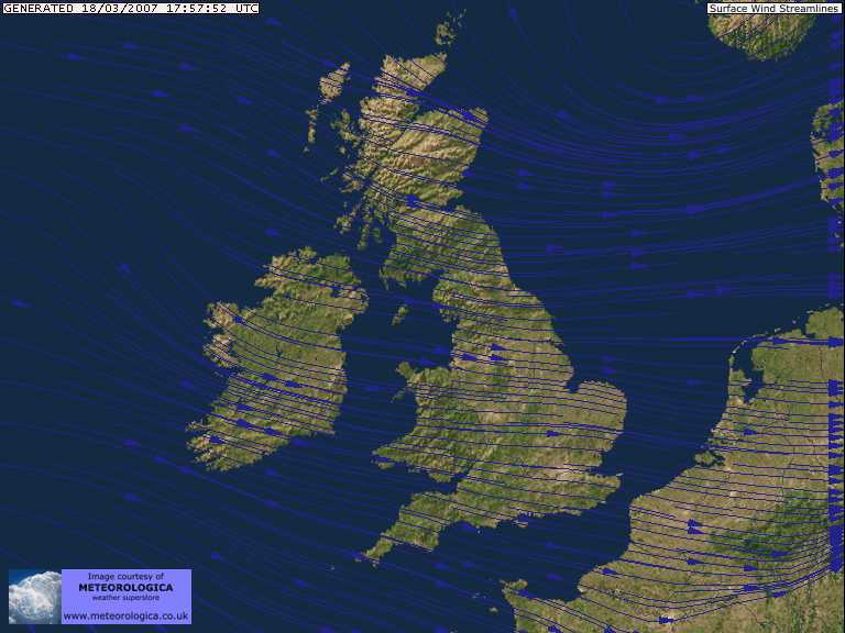
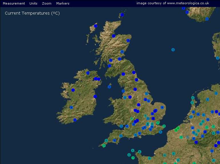
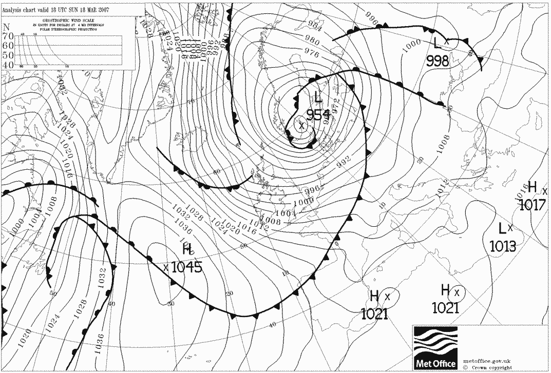
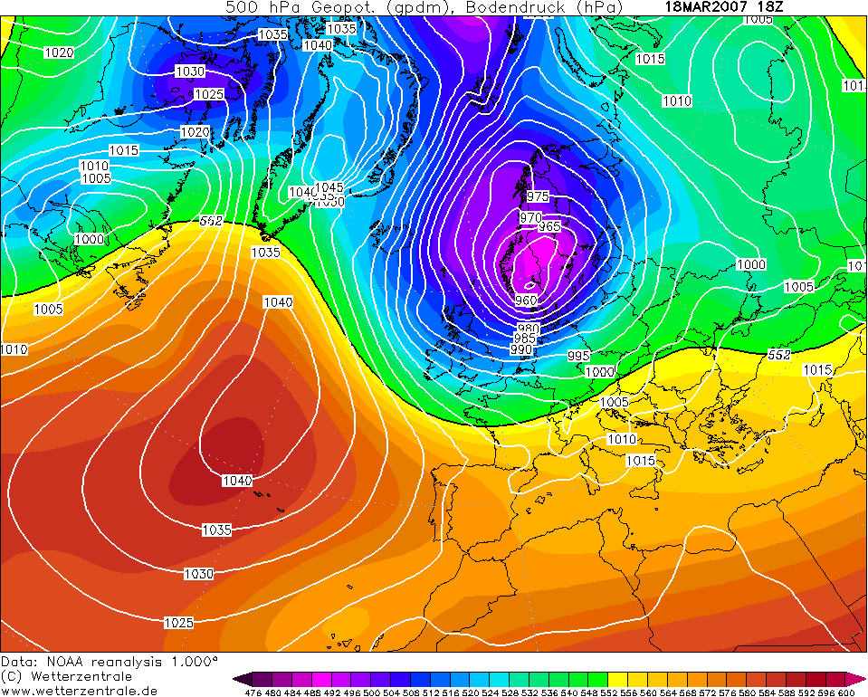
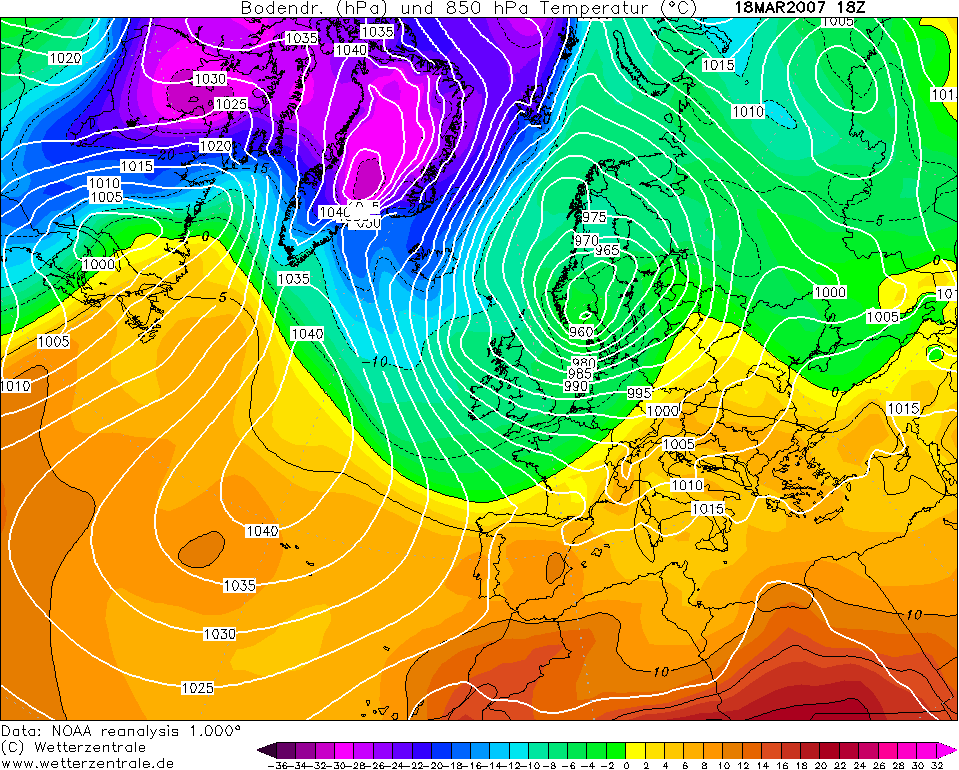
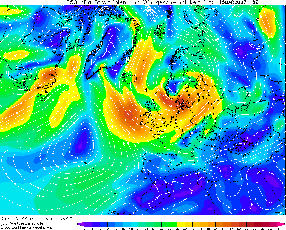
THUNDERSTORM T0068 An unusually deep low (954) had established itself over Scandinavia with a centre of 956mb. The result was a strong and cold drag of polar maritime air across the UK from the North West. This had with it some fairly beefy wintry showers across the country, especially in northern and western areas, mostly of sleet hail and snow. The showers were intermittent all day across the North West, and getting stronger throughout the afternoon as the upper trough approached. Not much power in the Sun yet for significant daytime heating, but there was some. I was actually in Manchester during the day and was driving home at 16:30. It was only then I noticed how strong the sleet & hail showers were getting as the roads gradually turned white before my eyes.
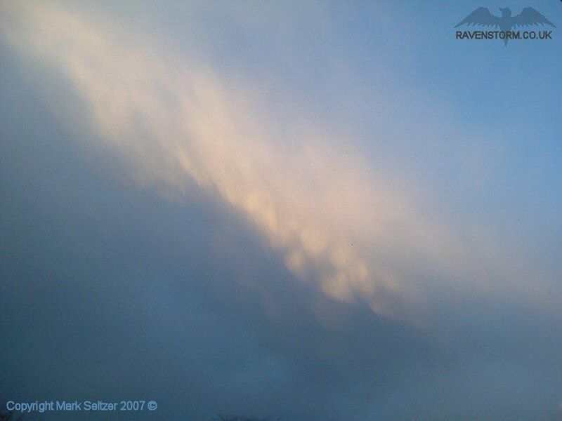
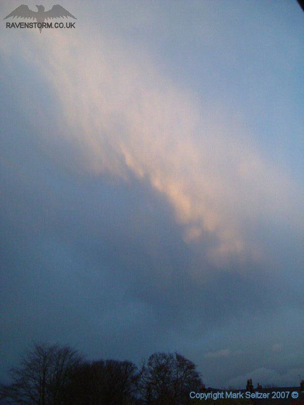
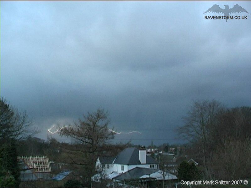
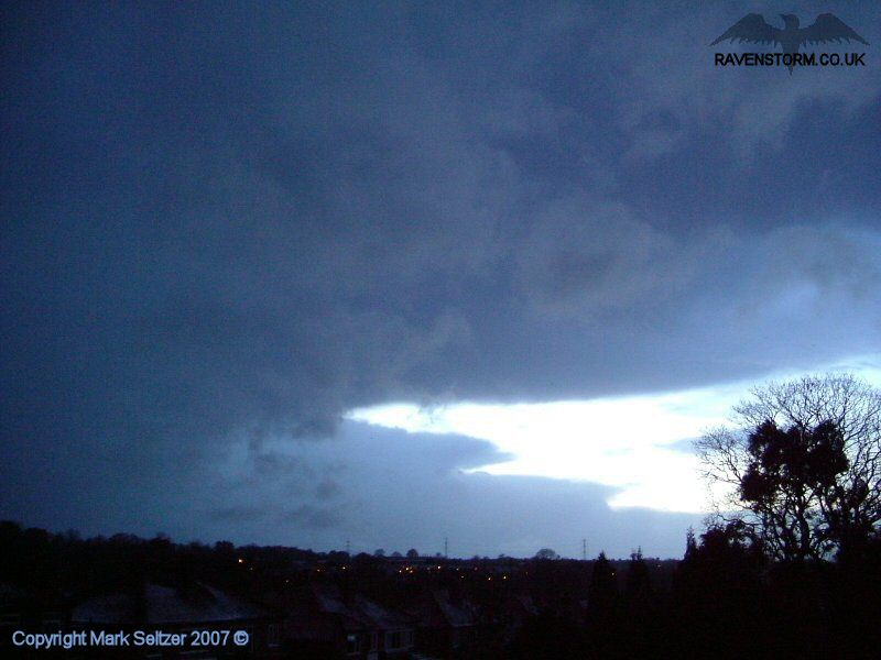
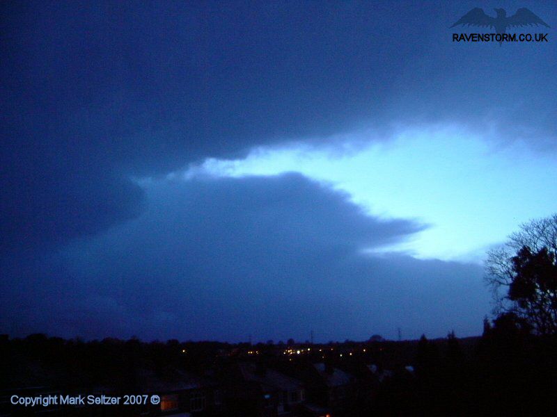
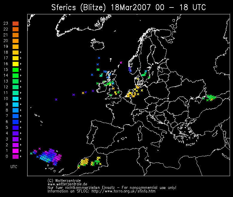
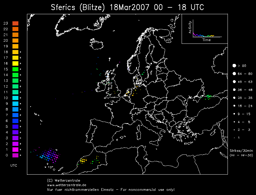
At about 18:00 back in Macclesfield a particularly strong squall of line convection started appearing on the northern horizon, with a large glaciated anvil top featuring a bit of winter mammatus in the sunset. Not expecting to see any thundery activity at this time of year (and also in a polar air stream), I decided to think nothing of it and go back to my evening. I then started to notice in the corner of my eye the wall by the side of me flash bright orange every so often, and at first I thought it was the TV or my imagination. But then I decided to investigate so I opened the window to behold a distant thunder.
I tracked the Canon XM2 on the low-hanging cloud base to the north which had a short 5-minute burst of electrical activity before falling silent. There were C-Cs observed along the whole squall-line and also a bright C-G to the NW that occurred off-camera. It was obvious on the radar that the squall was intense as it showed up as a thin red wave, appearing from nowhere in the animation (giving away fast development).
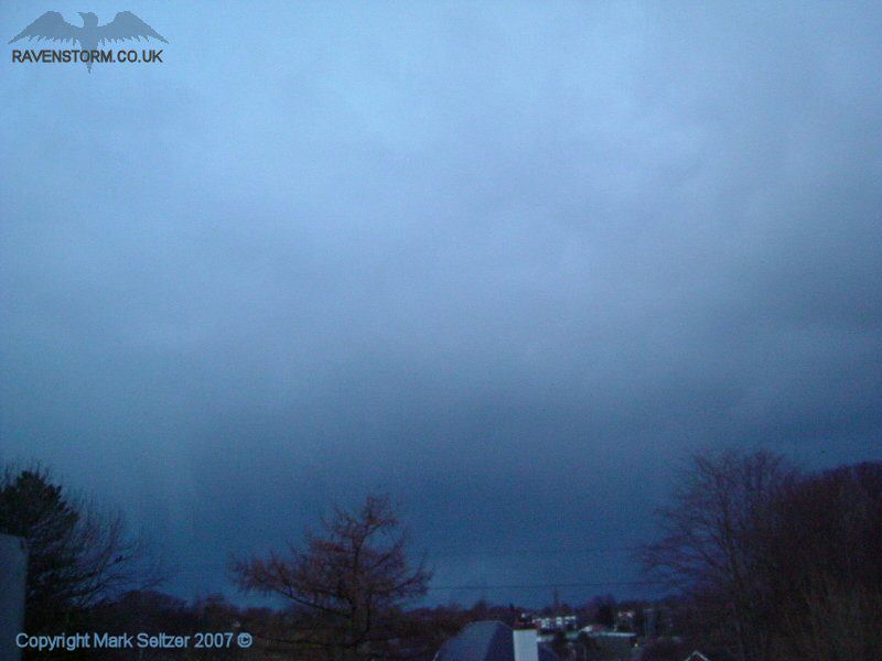
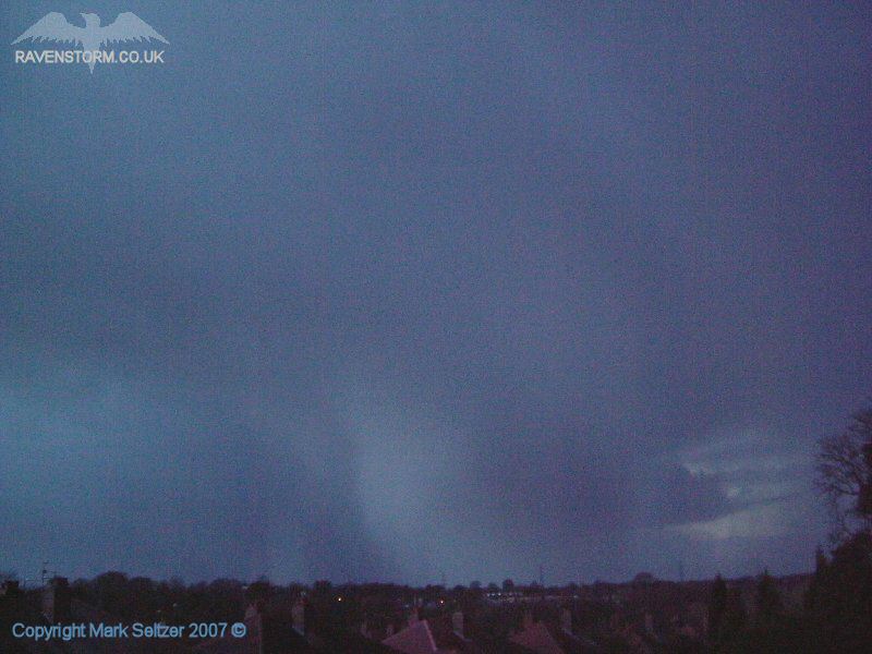
As the squall drew closer it was evident that the precipitation was going to be intense. It went almost night-black (with the low setting Sun) and a strong white hail-shaft was clearly zeroing-in from the NW horizon.
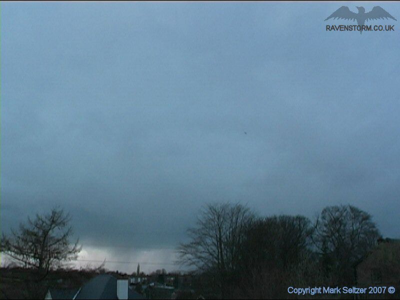
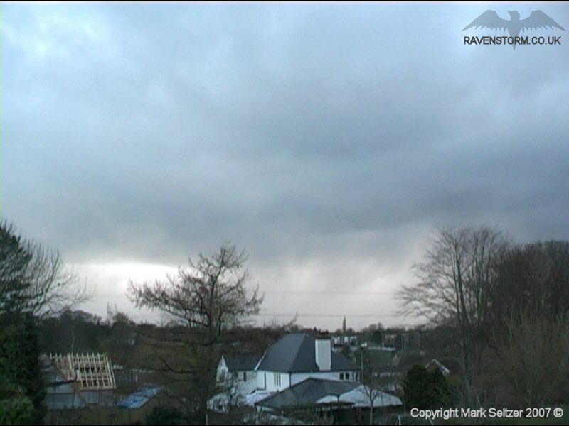
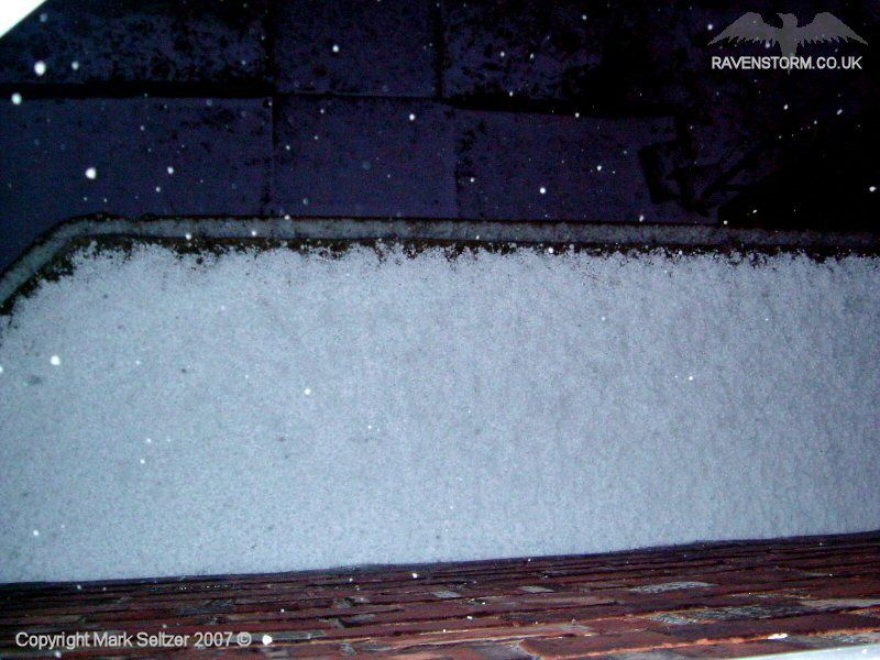
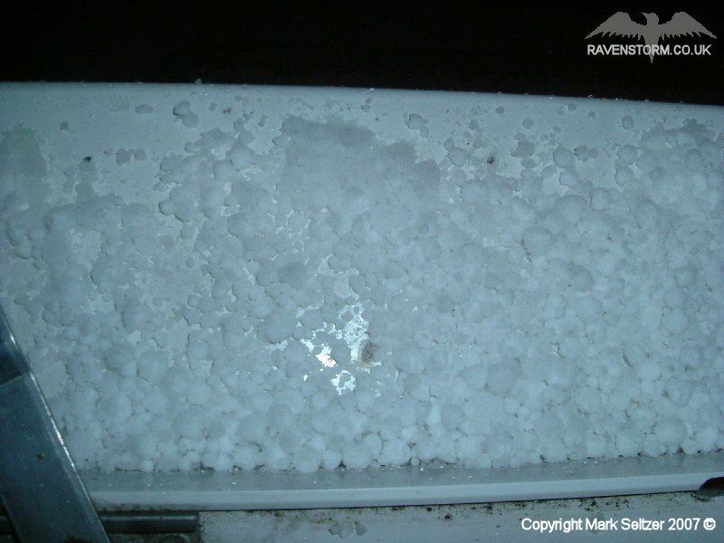
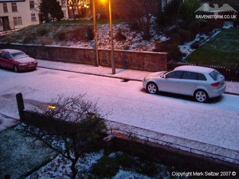
The result was 4-8mm heavy hail mixed in
with sleet in an white-out deluge for about 10 minutes. The
untreated road outside my house turned white within this time frame and cars
were struggling to get grip even at <5mph as they rolled over the fresh
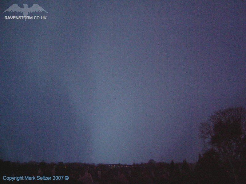
layer of loose ice. There was only one overhead lightning discharge at this
point and it was a weak affair (just caught the thunder), and then fell silent again as it rolled
south-eastwards.
SFERICS (Credits) |
© Mark Seltzer
www.electricsky.co.uk