
![]()
|
PASSING
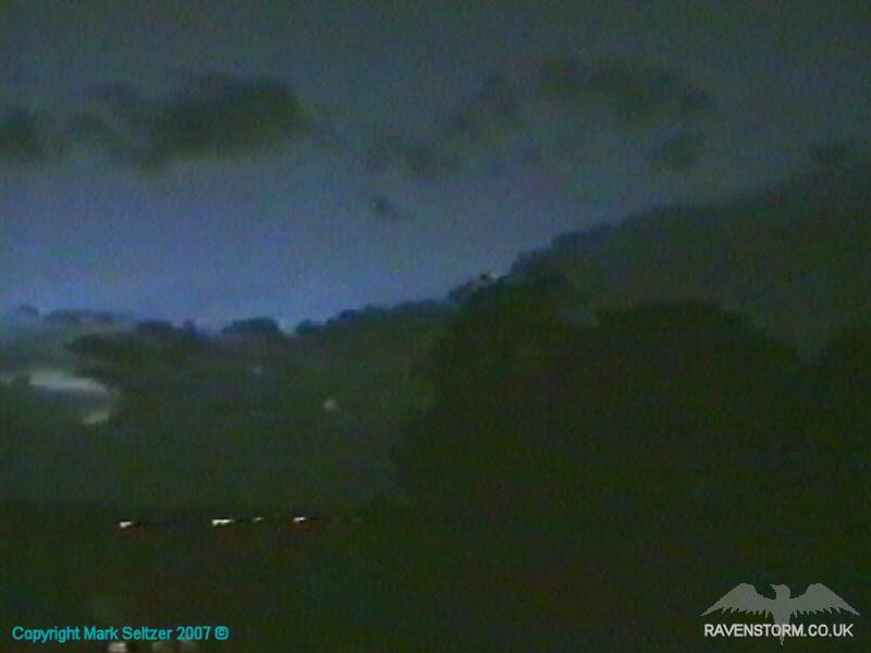
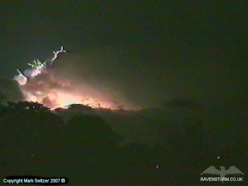
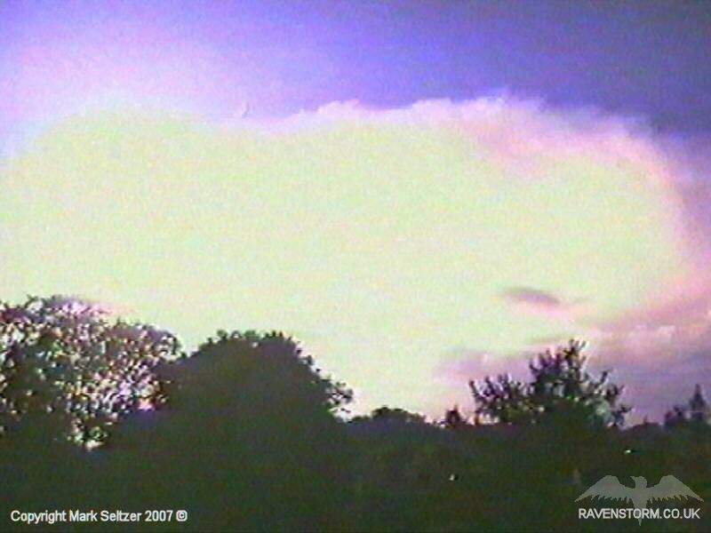
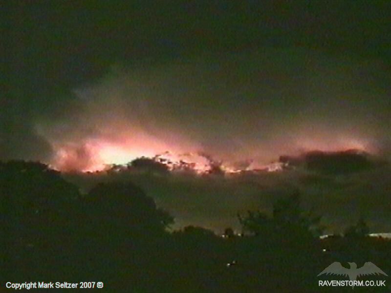
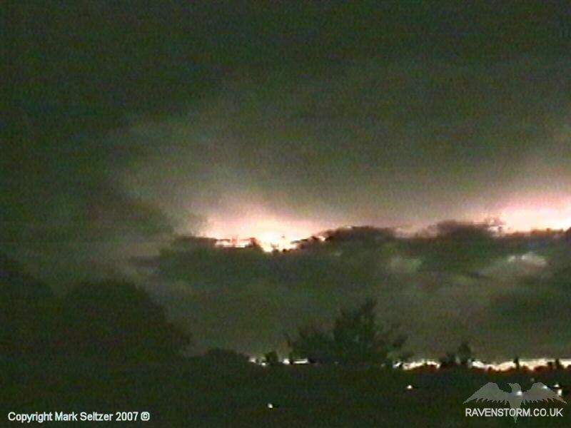
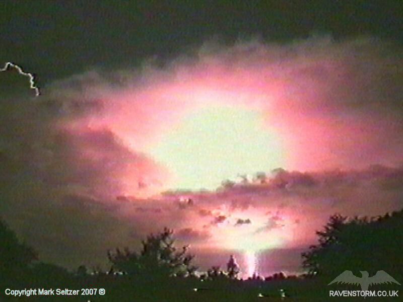
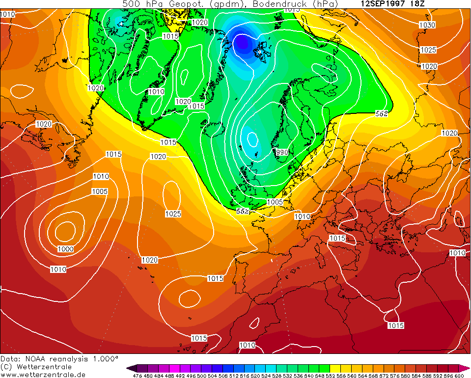
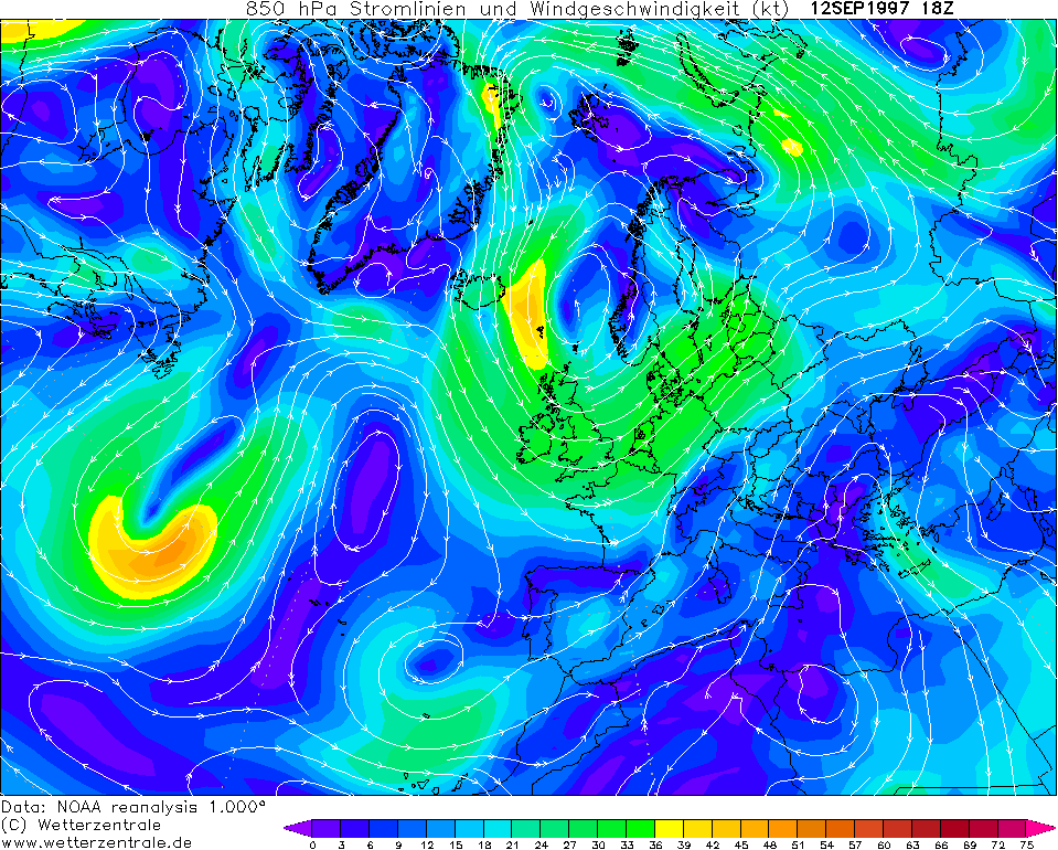
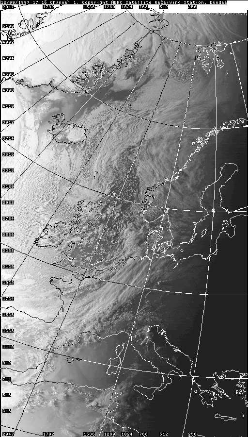
STORM PS0001 This was a late season unstable polar maritime situation, basically plenty of showers. The Cheshire gap in this situation is often good at coming up with some convergence-enhanced shower bands. Not expecting any big thundery activity, I briefly filmed a belt of anvils forming along the northwest horizon about 45 minutes after sundown. A few minutes later I filmed them again to record how much they grew (bear in mind I didn't have a still-camera at this age, only video). This time, as I was panning anti-clockwise I saw a brief flash in the corner of my right eye. I then positioned the camera at a large multicell, which was still developing.
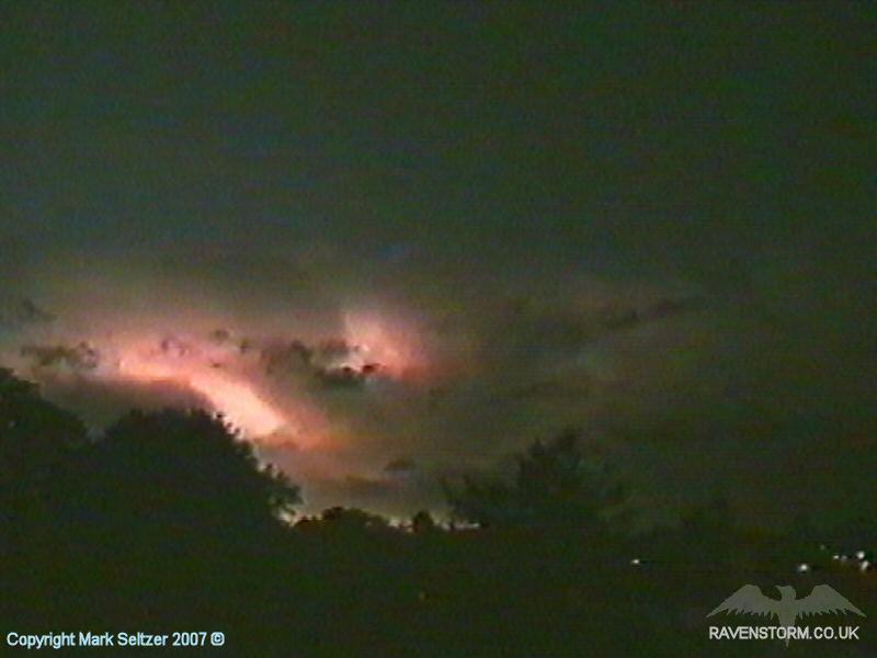
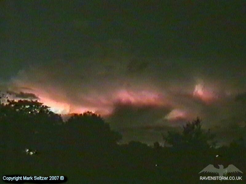
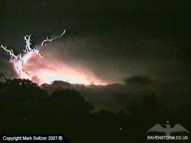
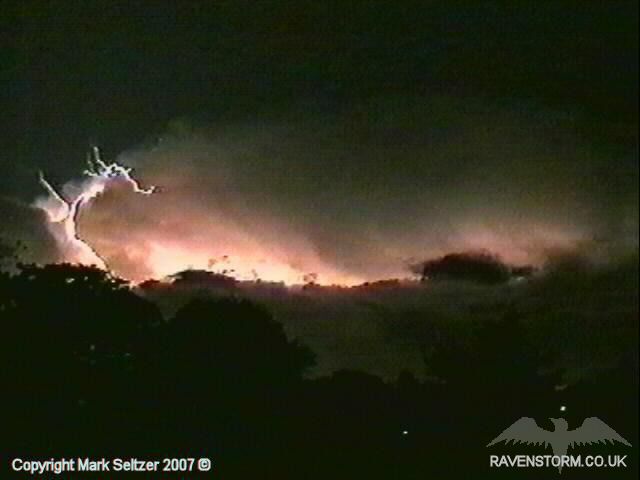
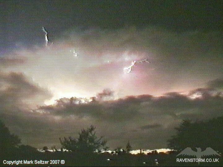
Unusually I had a clear shot of the entire cumulonimbus cloud and its thunderhead along with the surrounding atmosphere, and as a result I got some fantastic displays of Positive Flashes (P-Fs) and Cloud to Air’s (C-As), which I was not expecting, especially from a cold air thunderstorm. The footage is a little rugged as it was ripped straight from VHS/Hi8 but it is still relatively impressive.
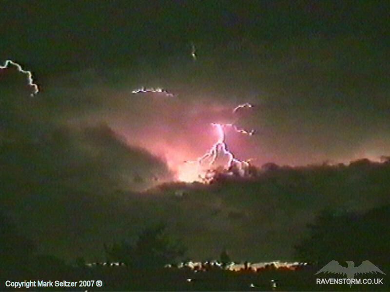
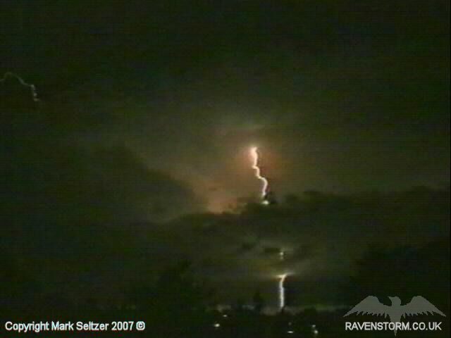
The only thunder heard was from two P-Fs. The strangely spider-shaped C-A in the still images above connected to the ground for the first P-F. Then another one in direct view occurred a little later (shown below). Despite being over 20 miles away to the north (calculated from the delay to the thunder) the two P-Fs it gave were heard as distant bassy rumbles, showing how powerful they were.
CHARTS
(Credits) |


© Mark Seltzer
www.electricsky.co.uk