
![]()
|
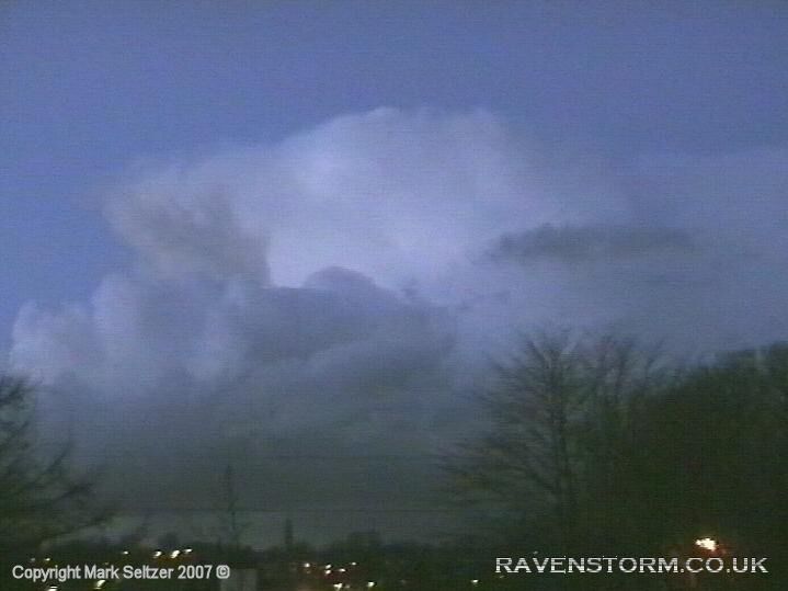
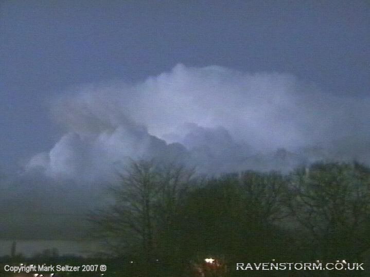
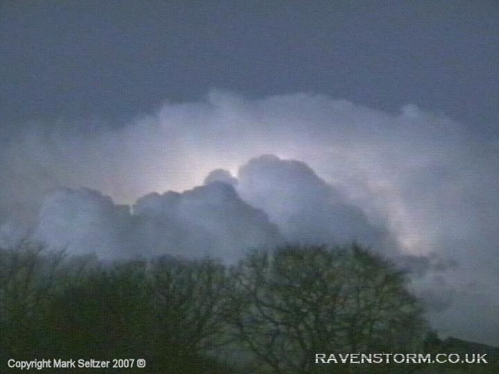
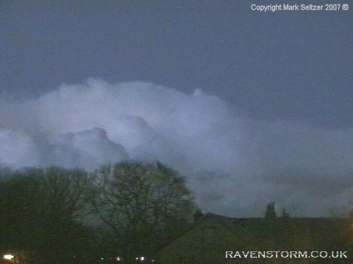
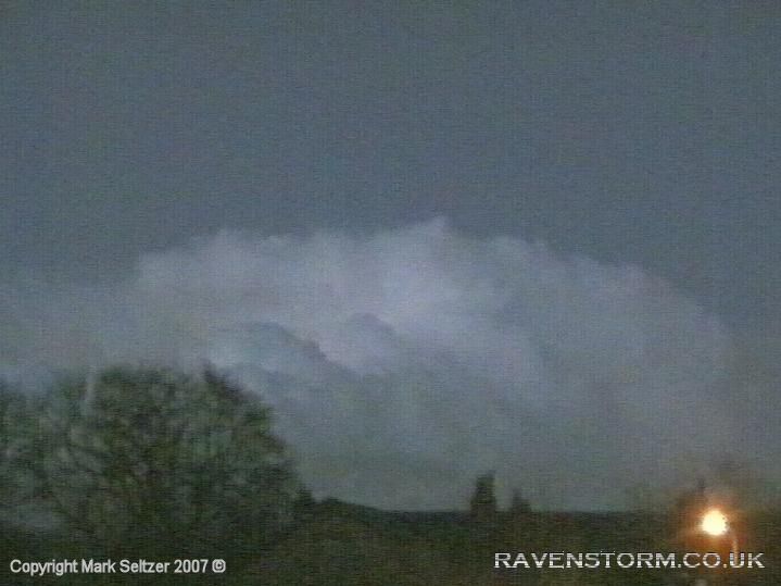
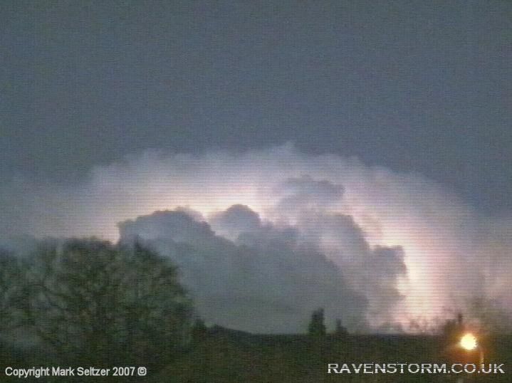
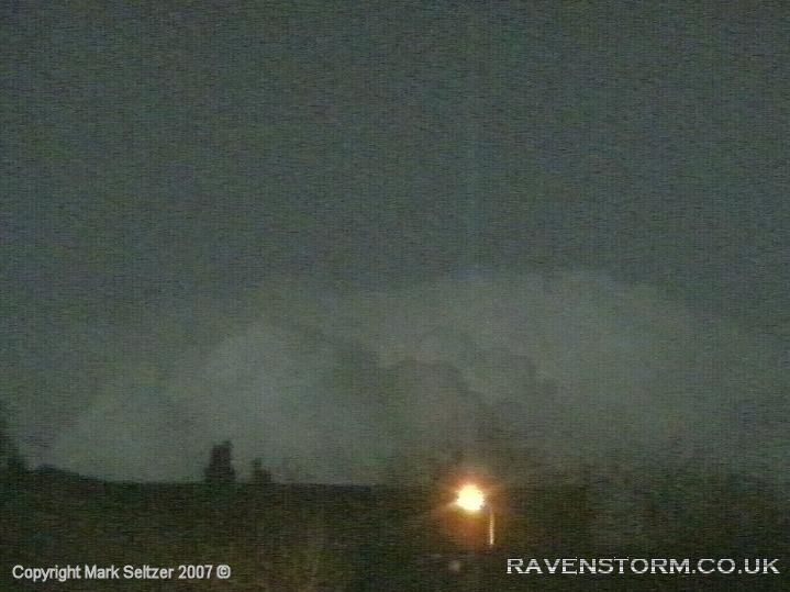
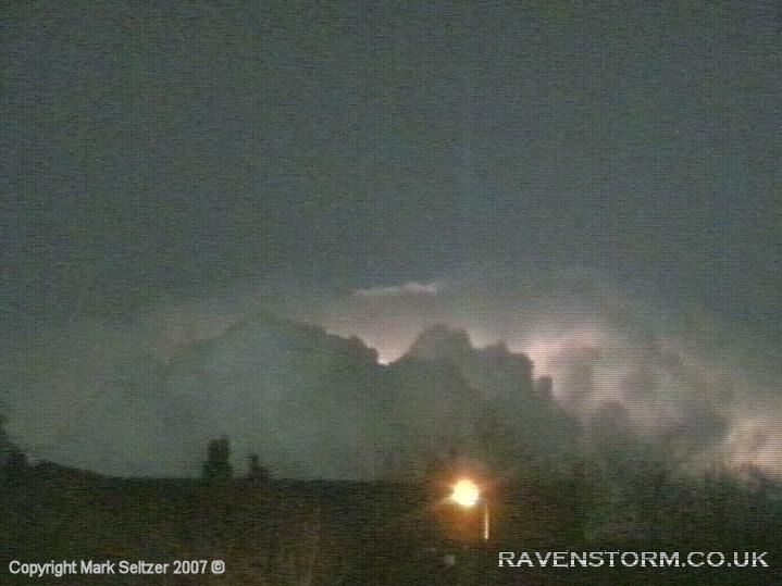
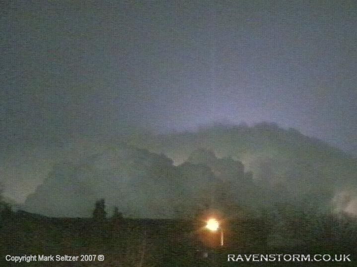
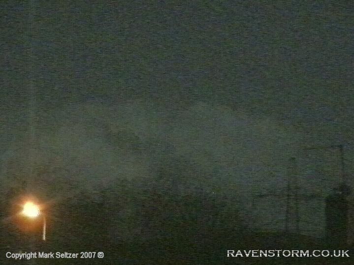
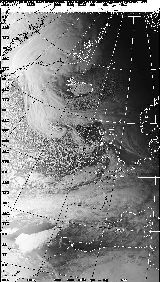
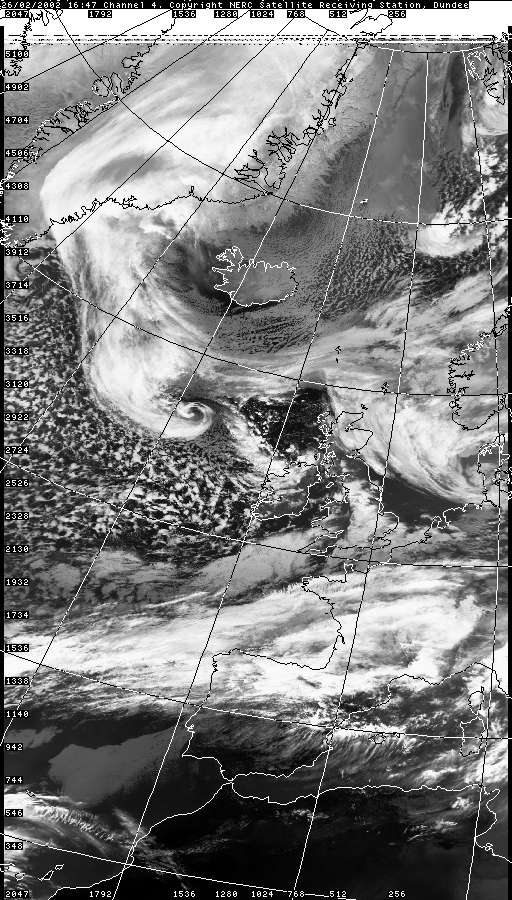
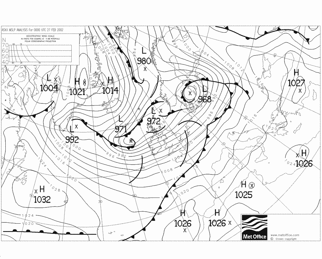
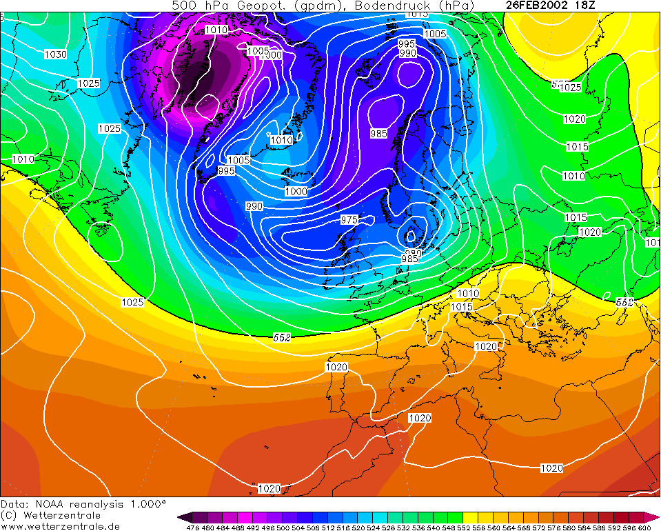
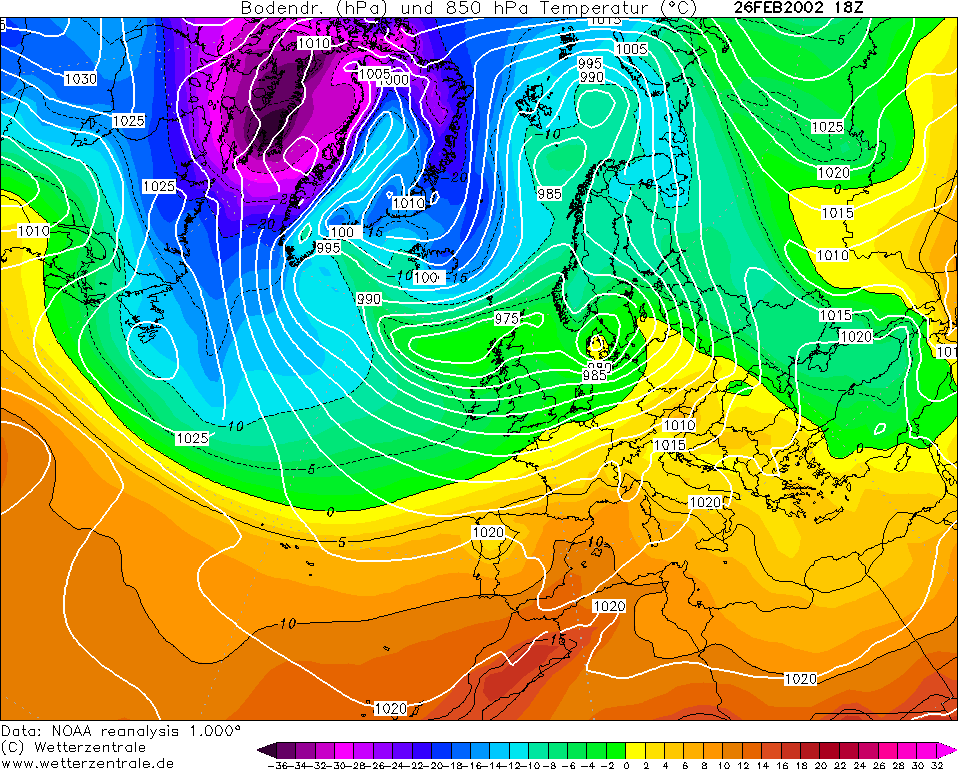
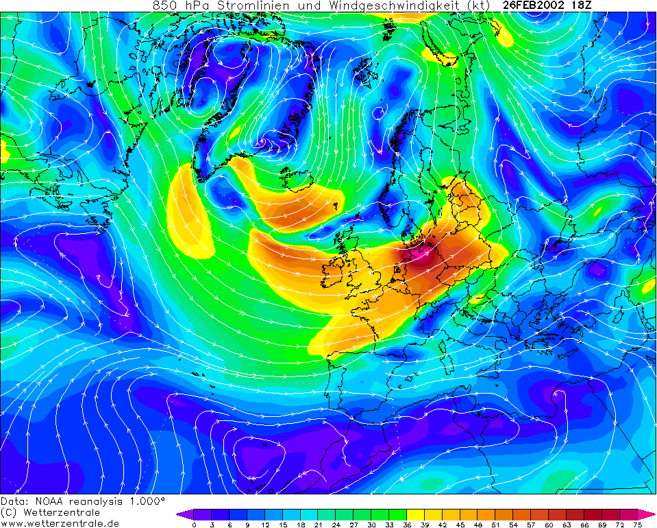
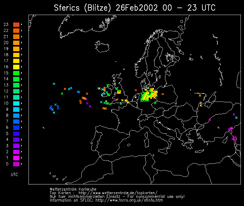
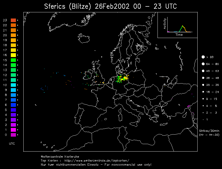
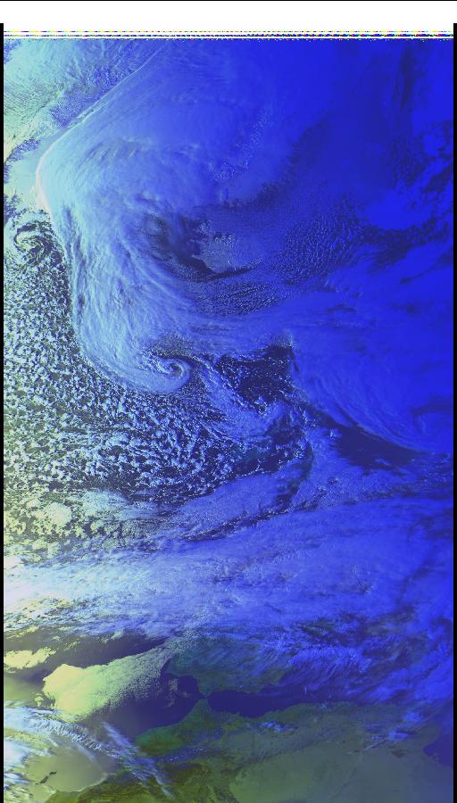
PASSING STORM PS0005 A couple of strong wintry convective troughs passed this evening in cool and strong westerly flow. The last one, being broken and fragmented, provided a clear view of the south side of a particularly active multicell to the North where the updraughts were mainly on view. The radar later confirmed this with a bright red echo to the south side of the rain band. This unexpected activity for late February gave way to some spectacular footage of the south side of the cloud brilliantly lighting up like a bulb as it rolled over the Pennines.
|
© Mark Seltzer
www.electricsky.co.uk