|
THUNDERSTORM T0003
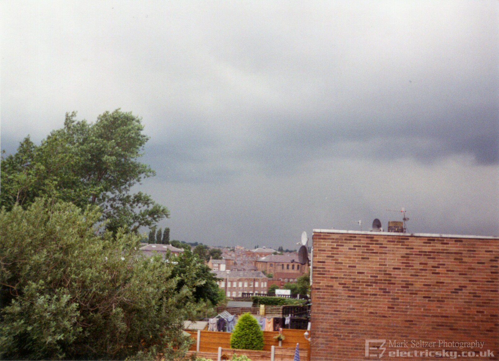
Date: Friday 23rd August 1996 Time: 14:00 BST
Location:
Macclesfield, Cheshire UK
Path: 8-10 miles away moving Northwards
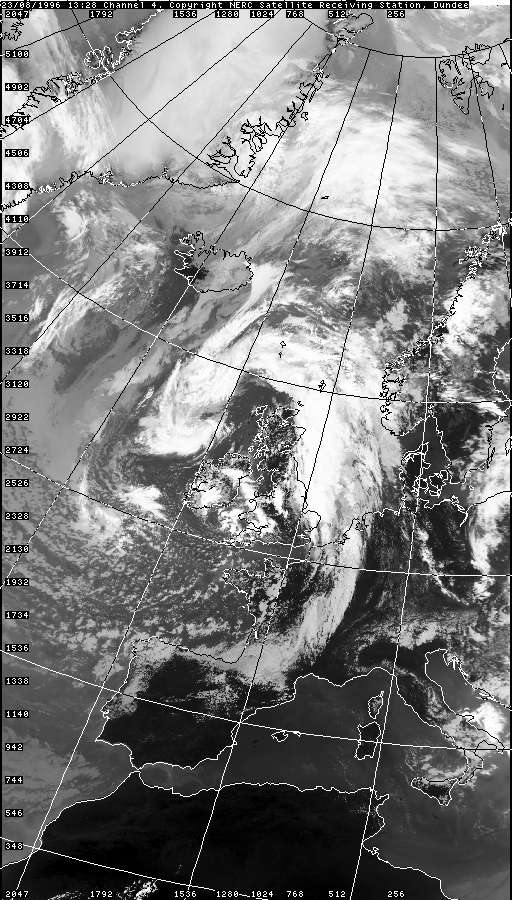
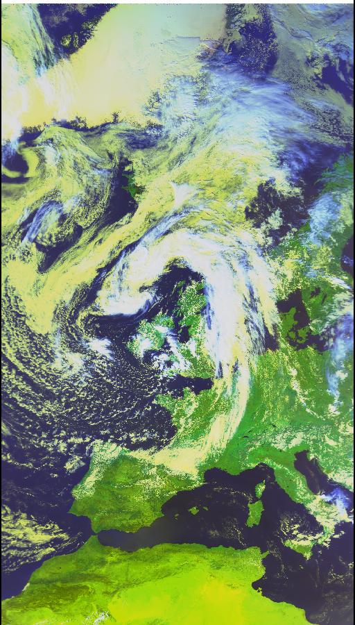
Synoptics: Convective trough along convergent
low-hook
Duration: Unknown
Type: Multicell
Average lightning type: Cloud-to-Ground
Average discharge rate: Unknown
Footage Quality: None
I was going to try and
audio-tape this storm but the tape recorder was broken. It was just as
well as it never really got that close and drifted past Macclesfield to the
west only
giving distant thunder. However, there was a high consistency of C-G strikes,
if not all, often two or three at once. This indicated either a low freezing
level or significant vertical shear to separate the positive anvil region
away from the negative tower. It was likely that both mechanisms were in
force judging by the satellite imagery - post cold-front (colder air, low
freezing level) and proximity to a strong upper jet (big vortex). I watched
it until the storm drifted out of view shortly
afterwards, but not before I snapped it with my film camera.

DUNDEE
SATELLITE IMAGES (Credits)
VISIBLE 23.08.1996 13:28
INFRARED 23.08.1996 13:28
COLOUR 23.08.1996 13:28

|
