|
THUNDERSTORM T0004
Date: Friday 10th May 1997 Time: 14:10 BST
Location:
Macclesfield, Cheshire UK
Path: Overhead moving northeast
Synoptics: Unstable Occlusion / Trough
Duration: 1 hour
Type: Multicell
Average lightning type: Cloud-to-Cloud
Average discharge rate: Unknown
Footage Quality: VHS
Here we are, by the 4th storm I had managed to
acquire a video camera; a Hi8 HP65 Samsung (slightly better than VHS
quality). Rocking this cutting-edge technology, I planted it on the window
of my bedroom at the first call of thunder. At first I wasn’t doing very
well in terms of where to aim the camera and the storm was also quite weak.
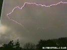
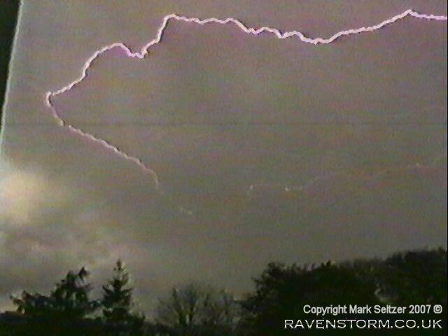
However, I got lucky and caught my first streak which was a rather close
twin-channelled C-C across the sky. It was about 0.4 miles away (2 seconds
between lightning and thunder),
but the thunder itself wasn’t very loud, exhibiting the crackly nature of
standard low-amp C-Cs. Once I looked back at the footage and saw the streak, I was
definitely hooked from that point on and left me wanting to film another
one.
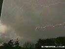
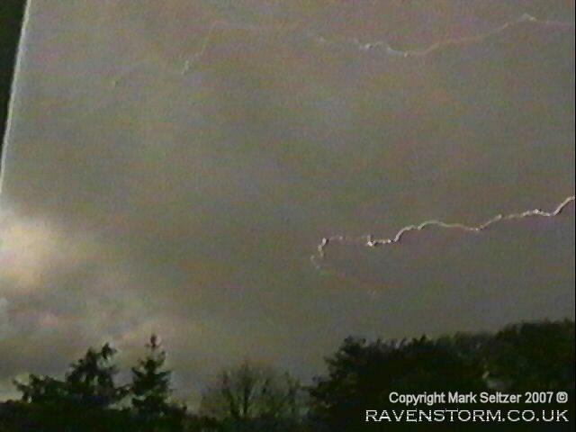
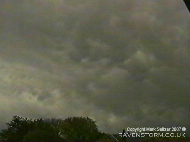
The
storm continued over the
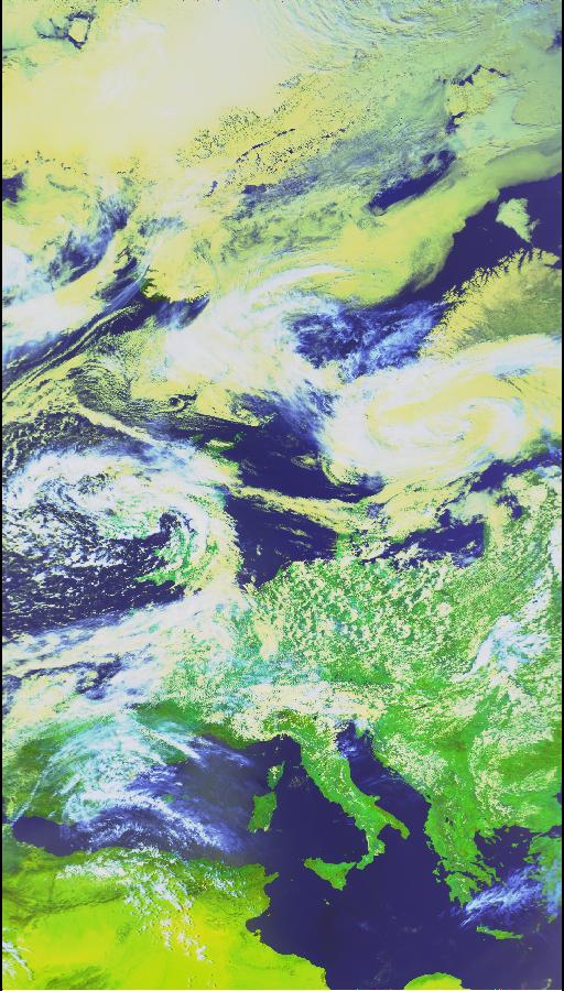
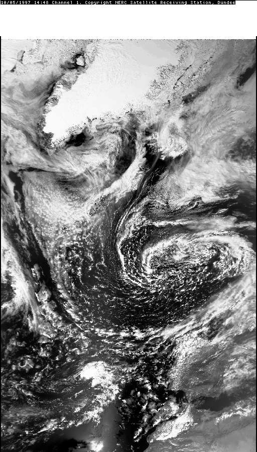
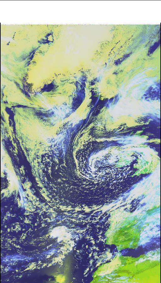
Pennines and dissipated, giving one last sheet flash before falling silent. It had formed
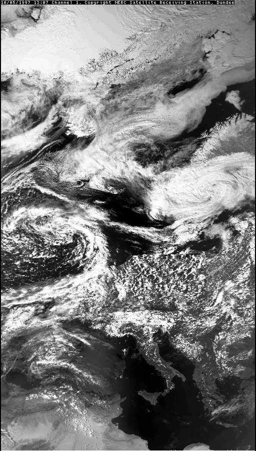
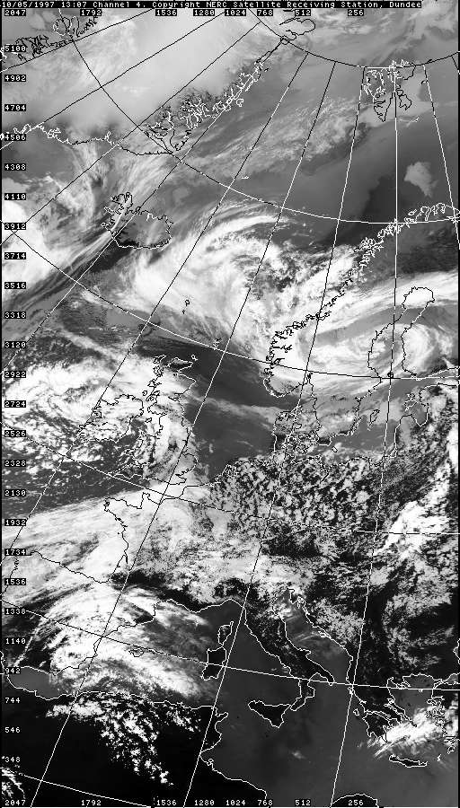
along what appeared to be an unstable occluded front, looking at the
satellite imagery, or perhaps a trough digging into the back of the
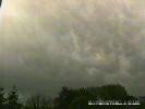
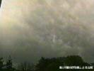
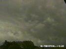
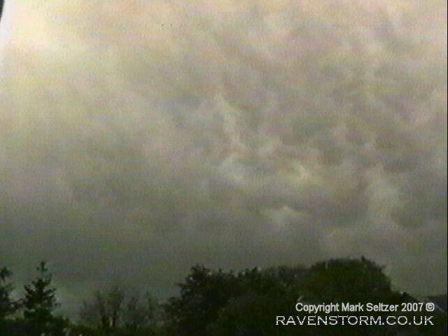
occlusion. Either way it was incredibly cloudy with no visibility of
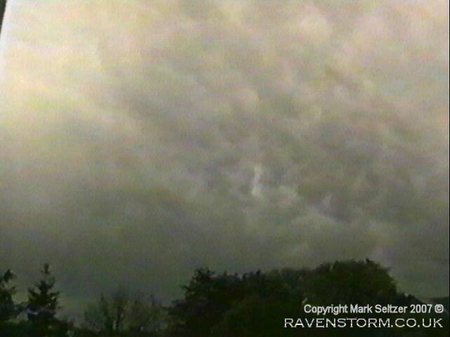
open-cell convection. The rear of the cell exhibited what looked like
low-level mammatus as shown below.
DUNDEE
SATELLITE IMAGES (Credits)
VISIBLE 10.05.1997 13:07
INFRARED 10.05.1997 13:07
COLOUR 10.05.1997 13:07
VISIBLE 10.05.1997 14:48
INFRARED 10.05.1997 14:48
COLOUR 10.05.1997 14:48


|
