
![]()
|
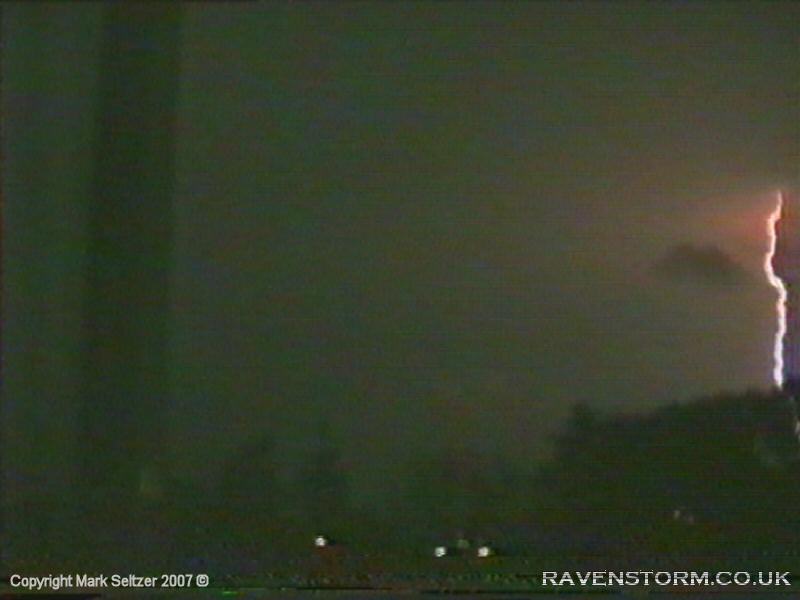
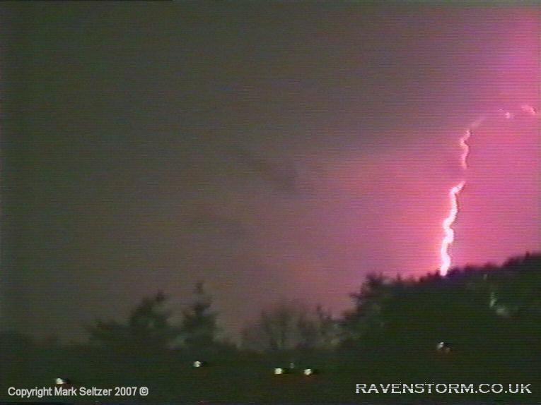
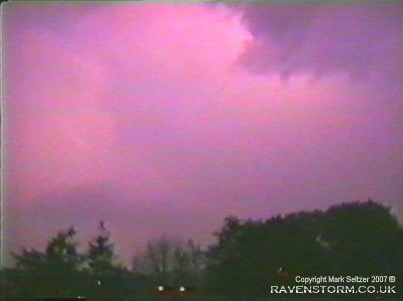
THUNDERSTORM T0005 First night time storm since getting a video camera - a good opportunity for some more spectacular footage with no daytime noise (both in terms of sunlight and audio). Judging from the forecasts during the day I was expecting the storm to come sometime overnight, but I didn’t know exactly when. So I left the windows open and hoped that the thunder would wake me up. Luckily it did, at 03:35am. As I was in my deep sleep it did indeed take a couple more flashes (had one eye half open looking at the curtains) and thunders to convince me that it was worth getting up. Finally ejected myself out of bed and started up the camera. Initially there were a few CGs at the beginning of the storm, one of which I missed off-camera just under a mile away away which gave a loud crackling thunder, but must have been accompanied by a secondary bolt as that just slipped into the right hand side of the camera frame (see first picture below). A bit later on as the storm moved in there was a C-G multi-strike (about 3 at once) where 2 of them were just over half a mile away. The one that was 2 miles away was caught on camera but I missed the other two. The storm seemed to be skimming Macclesfield to the north as it travelled northwest-wards, with very little precipitation observed. This meant the thunders were very crispy and clear, not being drowned out by the noise of rain.
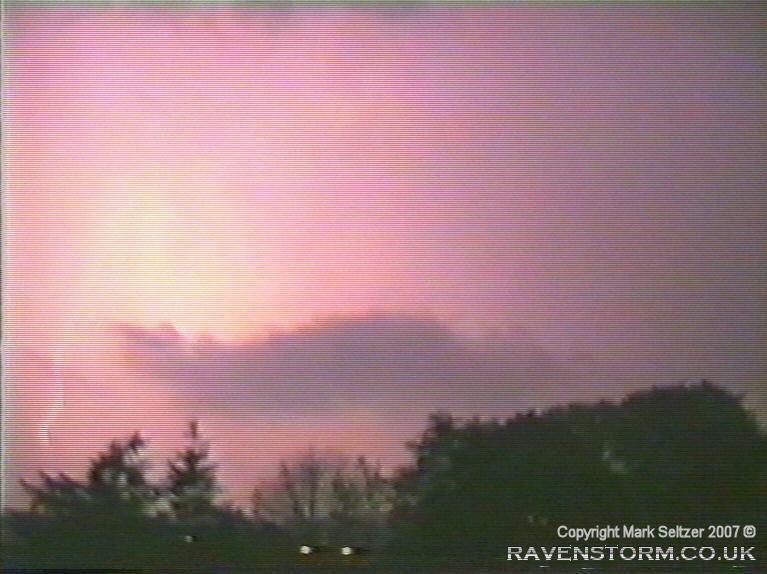
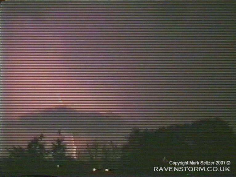
Whilst all this was happening, in-between were faint but overhead flickers of thunder-less lightning that weren't picked up on camera, indicating high top with reasonable CAPE, commonplace in continental plume thunderstorms with high troposphere and freezing level. These upper-anvil flashes were quite frequent; sometimes 1 per second. As I was still quite a novice with my video camera at the time, especially with shooting storms, I foolishly had the camera at high shutter speed for night-time shooting, meaning a lot of the flashes weren't picked up (too dark). Putting it in the correct mode would have also uncovered the faint upper-cloud lightning.
The
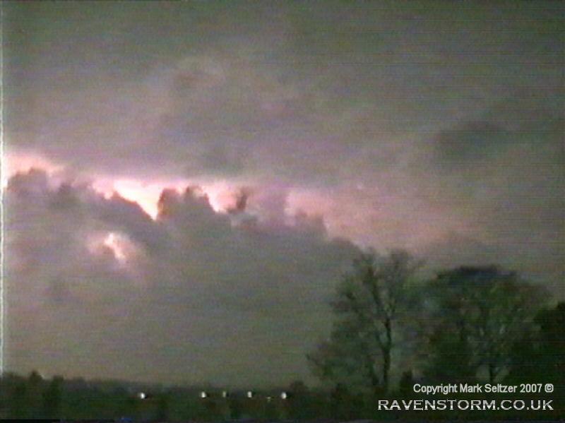
storm continued northwestwards
giving distant flickers lighting up the cloud base in the distance. Interestingly, looking
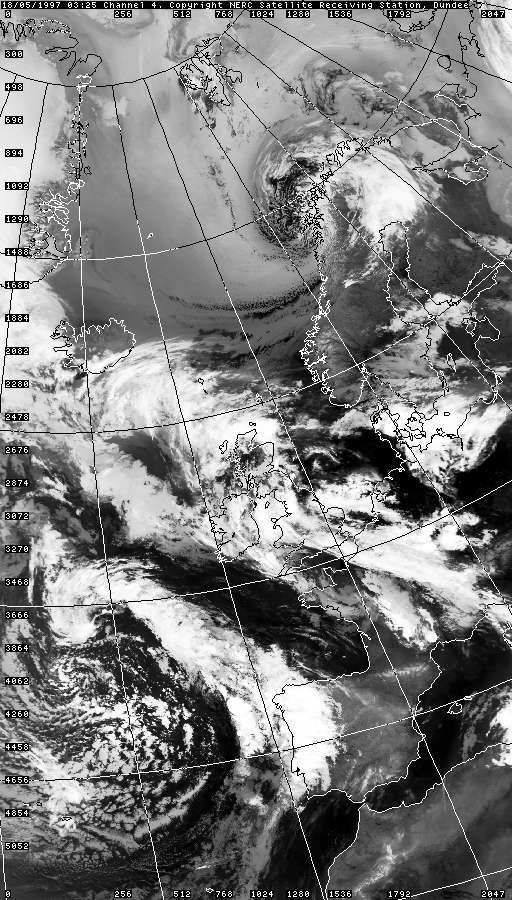
retrospectively at satellite imagery, it looks like there was a preliminary
convective plume the afternoon before, but I don't recall this realising in
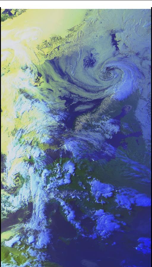
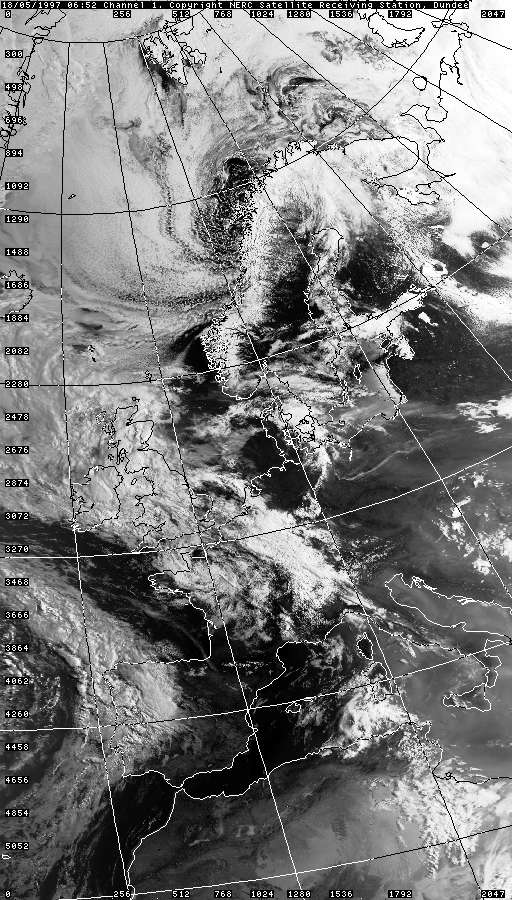
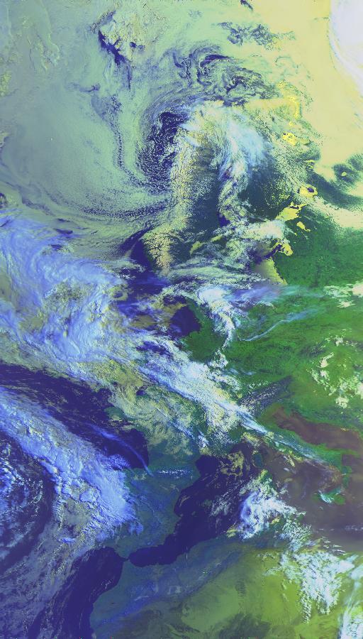
Macclesfield (I would have been all over it). Imagery below shows strong
"digging" down of the upper trough into Iberia/France, gradually lifting the
continental plume across the country with multiple convective cells
pulsating along it. The 03:25UTC (04:25BST) image suggest that perhaps this
storm formed along the warm front, with much of the cold front still
straddled across the Midlands and southeast England and the core of the
plume over eastern England and the North Sea.
|

© Mark Seltzer
www.electricsky.co.uk