
![]()
|
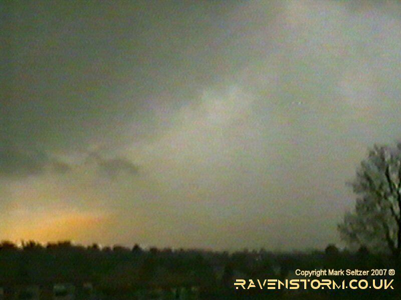
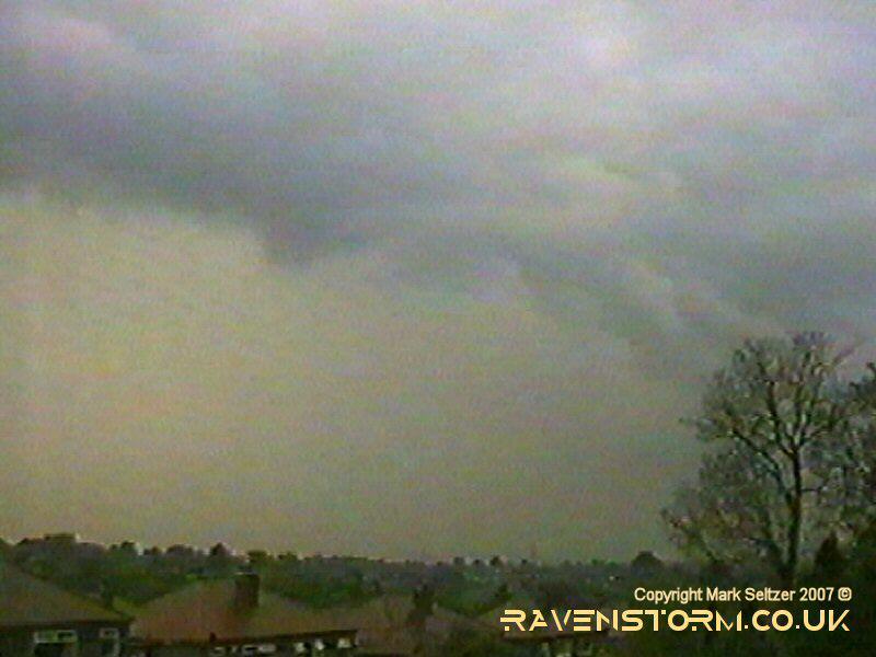
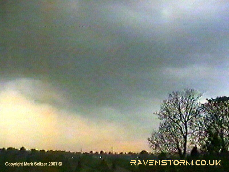
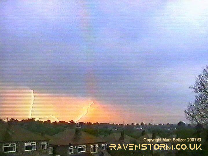
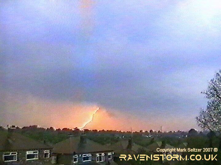
THUNDERSTORM T0006 I saw some towering cells developing at around 16:00 which appeared to be dissipating and moving NNW. The wind was very slight and easterly as a low was hovering to the south of the country, upper vortex likely directly overhead making for highly unstable conditions. There were no other cells in the vicinity so I left it without paying more attention to the developing weather. Half an hour later I heard a rumble of thunder and as I looked out the window there was a dark brownish-coloured base to the north which I assumed it must have originated from. I set the camera up and started to film the base, which was positioned about 5 miles north and moving west to south-westwards. At the storm's closest point the lightning wasn’t clearly visible due to the intense rain curtains and landscape around, but the cloud formations were quite dramatic and small areas of scud cloud were visible that looked like funnels (but obviously weren't). This cell started to dissipate however but as it left the area it gave a nice CG double-strike.
Unfortunately the video camera tracking malfunctioned during the double-C-G discharge. As the storm was leaving it gave a final yelp as there occurred what I thought was a PF (positive flash). This was judging off the bright flash, much closer than those from the base in the distance, and a long delay to an explosive thunder.
|
© Mark Seltzer
www.electricsky.co.uk