
![]()
|
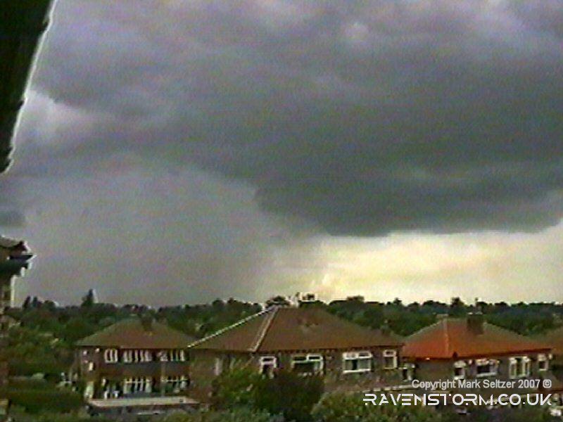
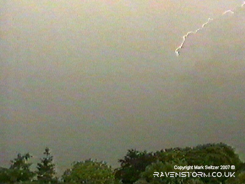
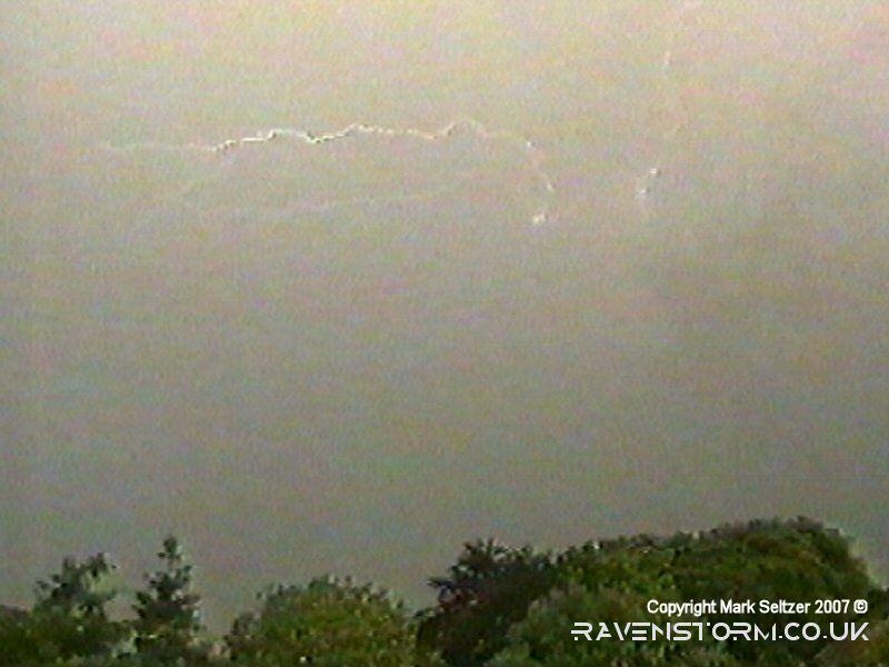
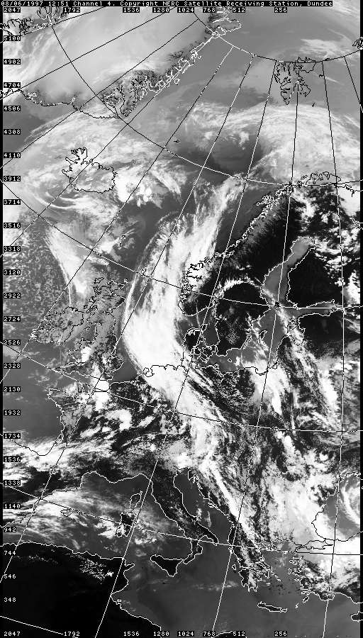
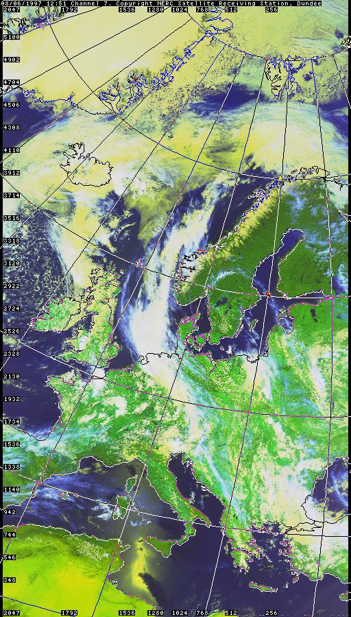
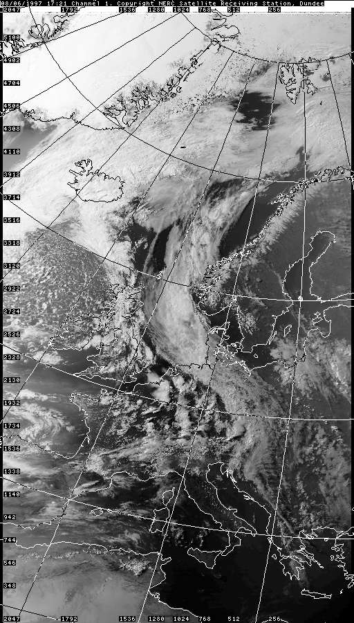
THUNDERSTORM T0007 This storm was an organised convectional cell, apparently associated with a broad upper trough behind the polar jet looking at satellite imagery, linking back to an old occlusion over Iceland. Most of the lightning was in Intra-cloud and mini C-C form near the back of the cell. Although the displays of lightning were a letdown due to daylight brightness, the thunder it gave was quite substantial. The storm approached with a very pronounced rain shaft beside a dark, smooth and fairly high-based updraught base; sort of mid-stratocumulus level. There were lower bits of Arcus cloud embedded within it.
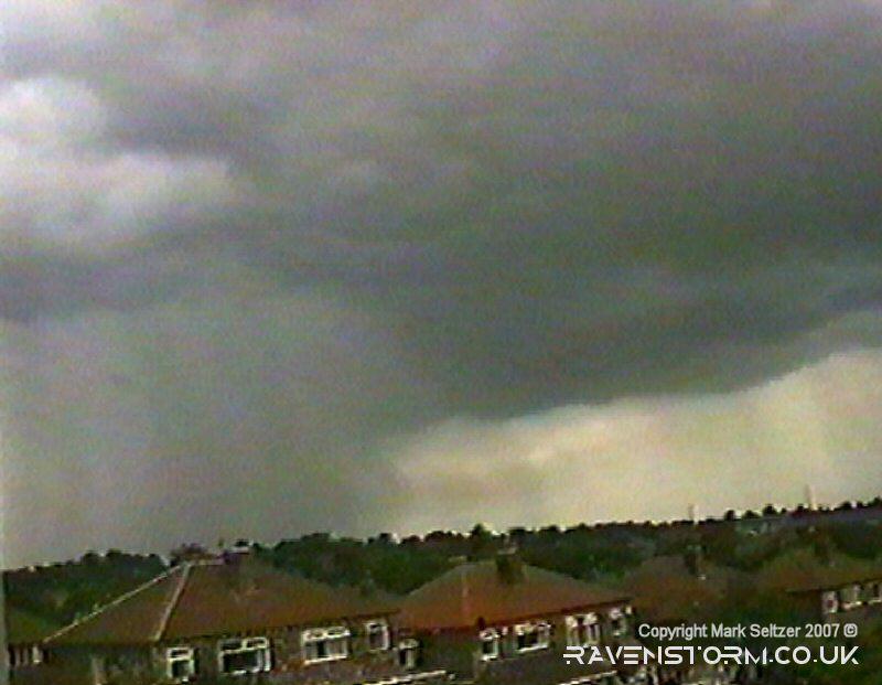
After a few minutes on it's approach it started to get going a bit. It passed through the area dumping a fair amount of rain and loud thunder. But only two streaks of lightning were caught on camera, so most probably happened within the cloud or out of view. It did seem quite bright under the storm so that wouldn’t have helped lightning visibility. When the storm left it showed off a large wide feathery thunderhead that didn’t show much sign of defined spreading at the back. Just as it cleared the area, the thunderhead started to develop properly at the back and was beginning to look less feathery.
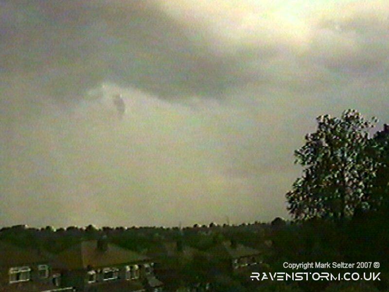
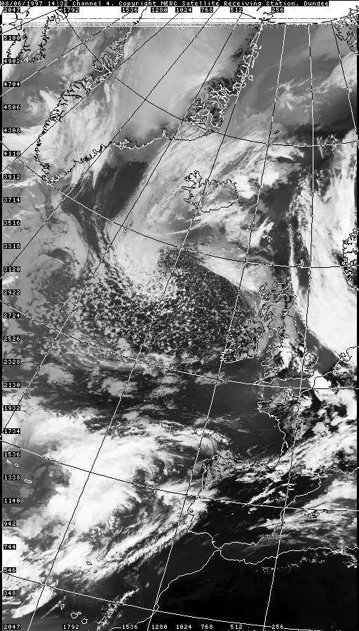
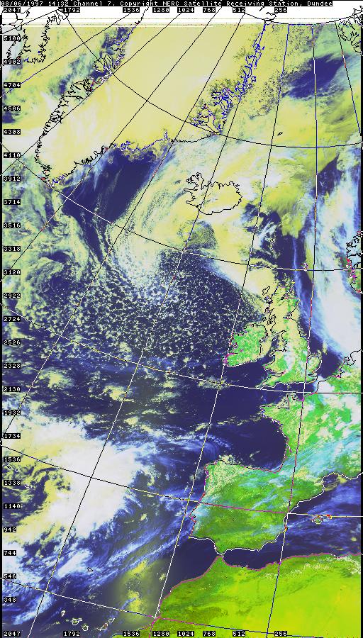
After the cell had cleared I spotted this rather
spectacular anvil to the west...
|


© Mark Seltzer
www.electricsky.co.uk