
![]()
|
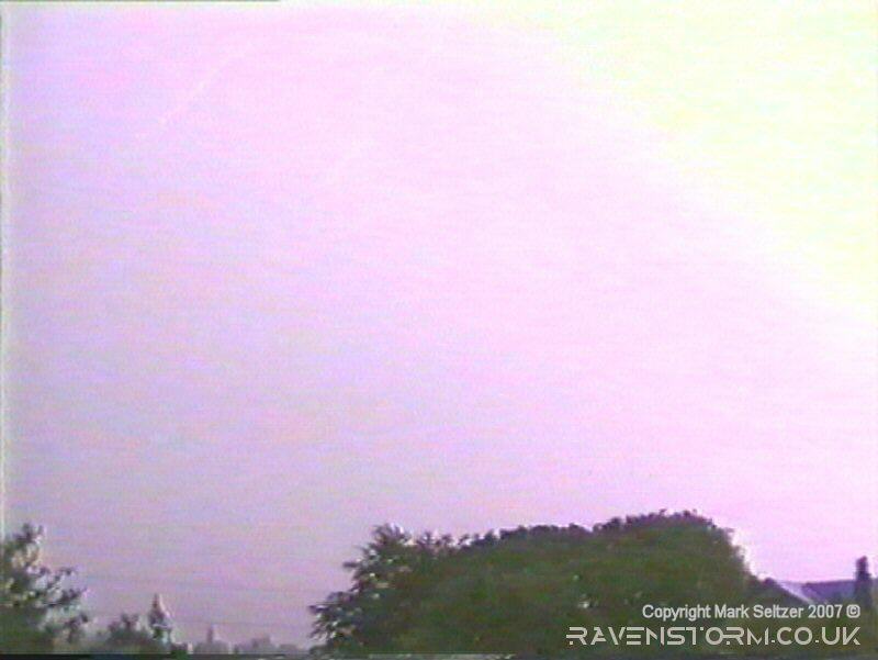
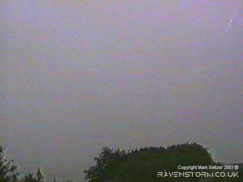
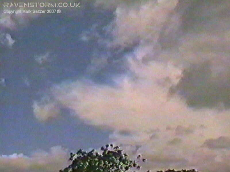
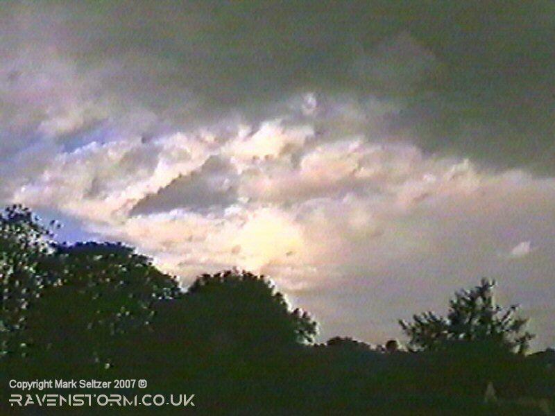
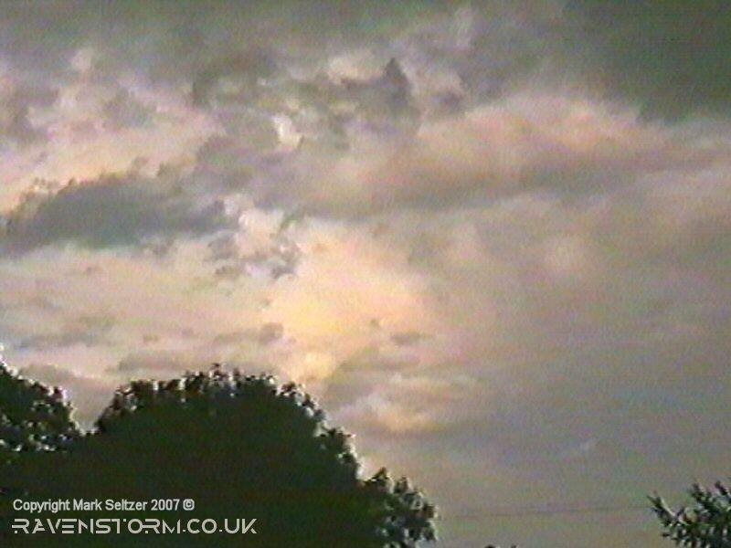
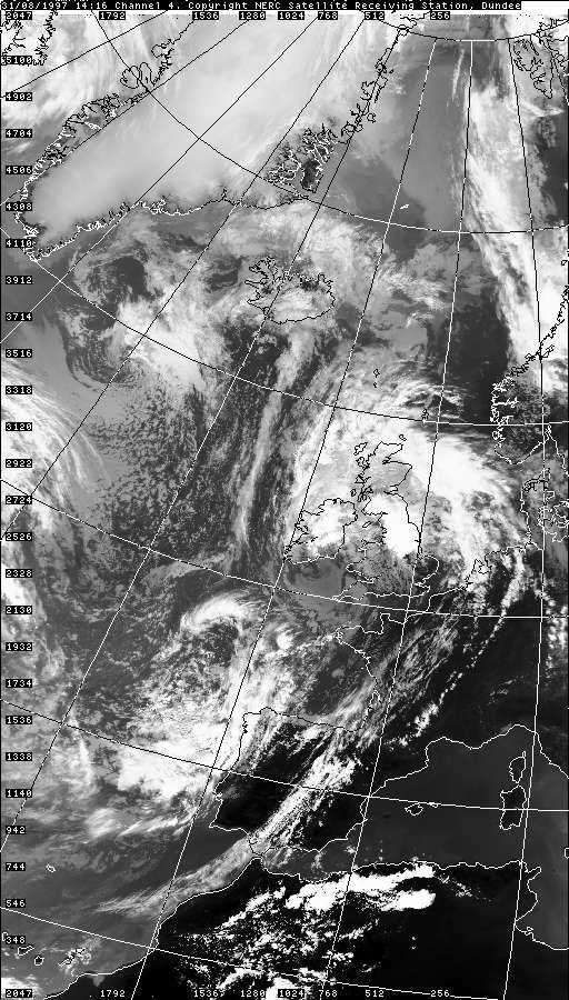
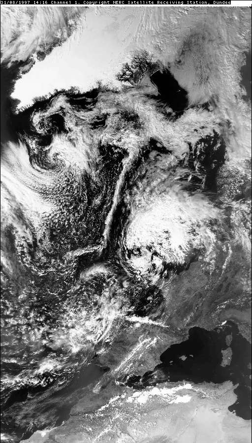
THUNDERSTORM T0008 This storm was the strongest daytime storm of the year for Macclesfield. It showed up on the precipitation radar as a big orange/red blob about 50 miles in diameter as it moved northwards, a very large cell. The rain was forced down by strong downdrafts and most of the lightning was at the back of the storm, showing good vertical shear with rearward development. There was one very strong C-C, possibly accompanied with a close C-G/P-F near the end which gave a very loud thunder.
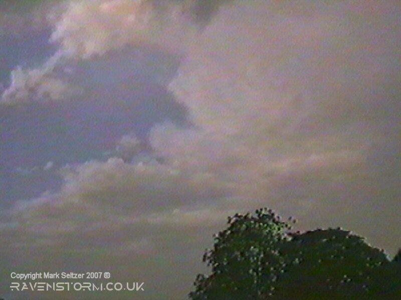
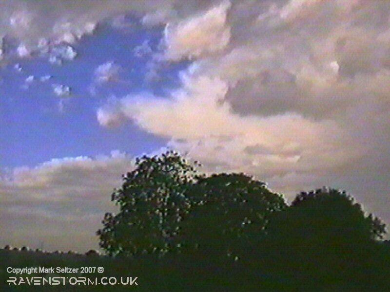
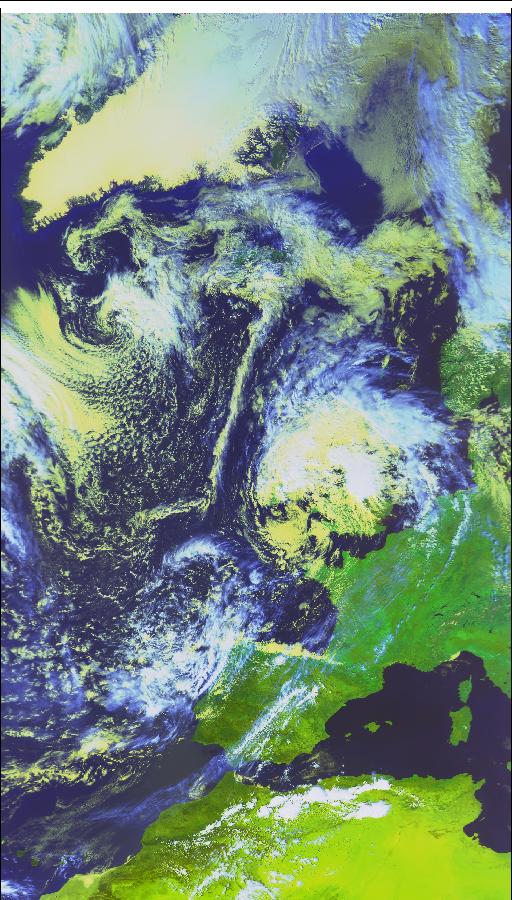
It was grey and drizzly all day in a warm sector (the low looks ex-tropical with a warm core in the satellite imagery). The storm occurred likely along a non-polar jet cold front forced by an upper trough digging into the south of the low, as there was a definite clearance to brighter weather and higher bases behind it. The anvil became visible before a few more showers packed in closely behind it. The lightning wasn't very well captured on camera due to the fact most of it was happening to the south (and I was filming northwards), and the rain was so intense in a southerly that I didn't want to risk getting the camera wet by pointing it in that direction. Another reason for not seeing the lightning very well, apart from daytime brightness, was the thick and dense rain-curtains and likely low cloud reducing the visibility further. Perhaps also with a storm of this nature, it was mostly upper-anvil lightning. If this storm was at night-time it would have been quite spectacular.
Here's the original BBC weather forecast before the storms arrived in the north of England, courtesy of Kevin Bradshaw (and of course the BBC).
|
© Mark Seltzer
www.electricsky.co.uk