
![]()
|
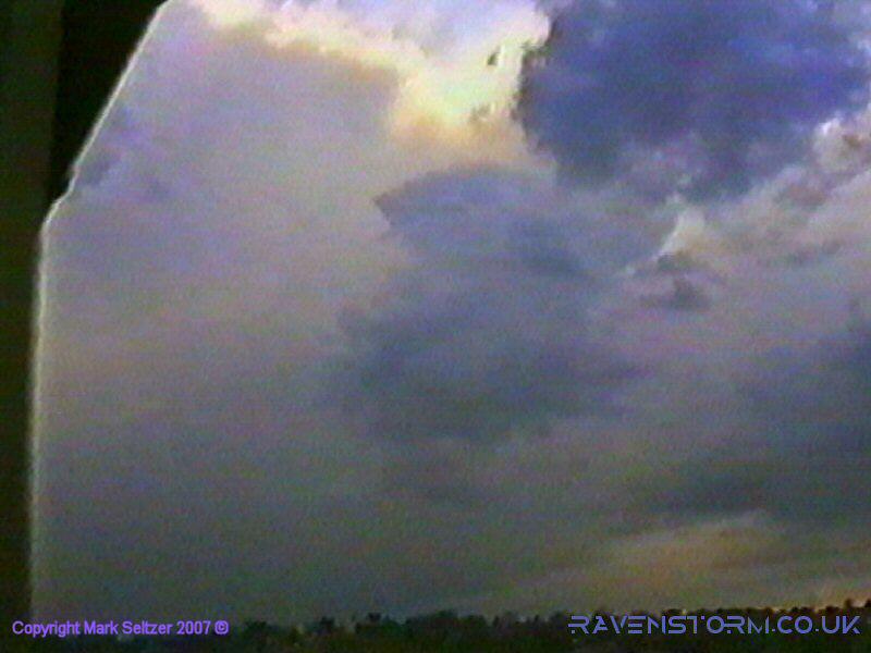
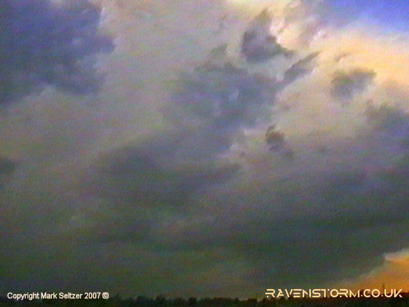
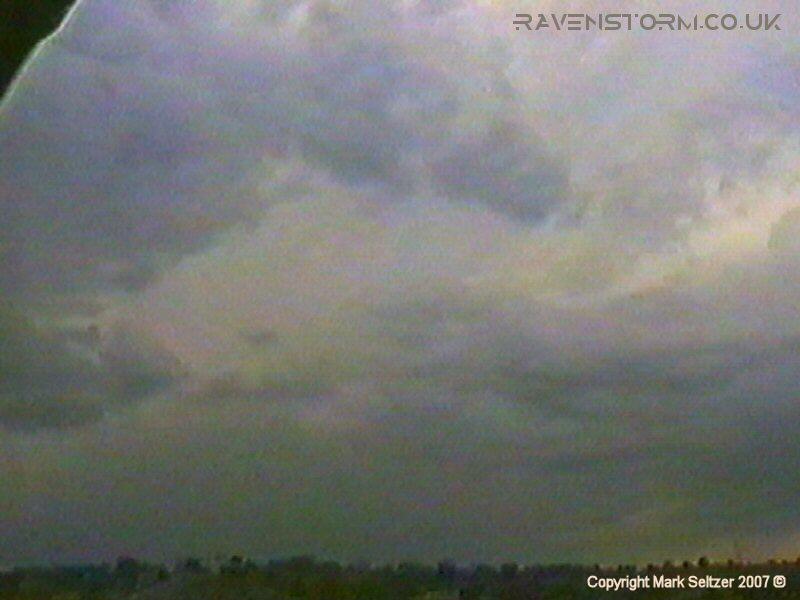
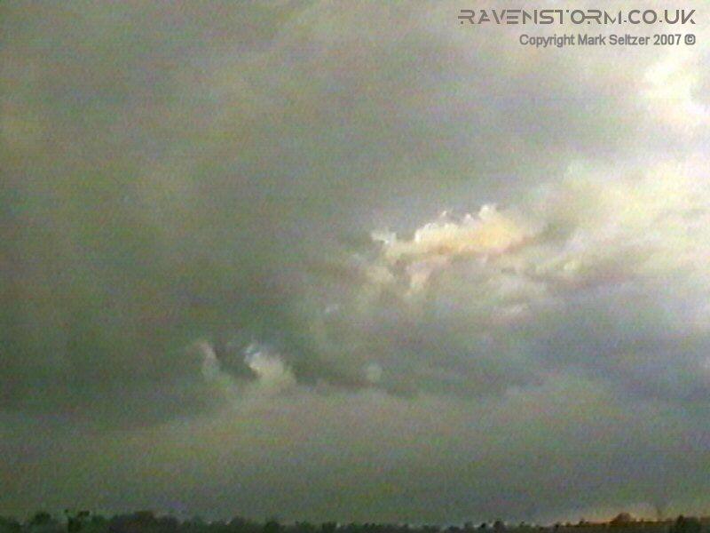
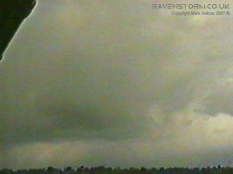
THUNDERSTORM T0009 This wasn’t a particularly exciting event, but the first for 1998. A weakly electrified string of convectional cells occurred within cold unstable air (surface air temperature about 13-14C), provided by a low filling to the west. There was hardly any gradient wind to carry them so they were reasonably disorganised. The cells were predominantly to the west of Macclesfield, with Cell 1 showing distant flashes from under the base with distant thunder heard. Later a closer cell (cell 2) gave a close-by lightning and a good thunder which occurred whilst I wasn’t filming (I gave up too soon). It may have proven quite a good shot as the rain curtains weren’t very dense and I was pointing in the right direction. The cells then fell silent as the passive mid-spring convection continued northwards. CELL 1
|


© Mark Seltzer
www.electricsky.co.uk