
![]()
|
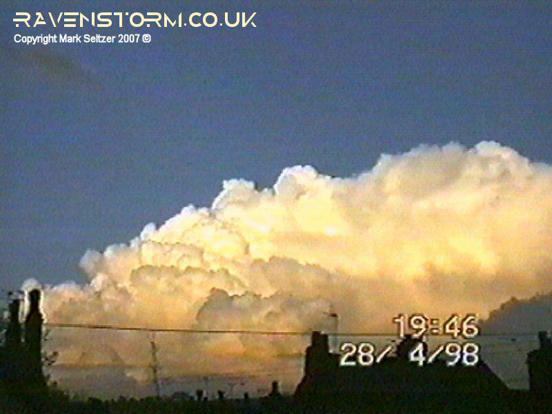
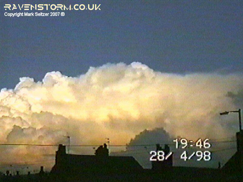
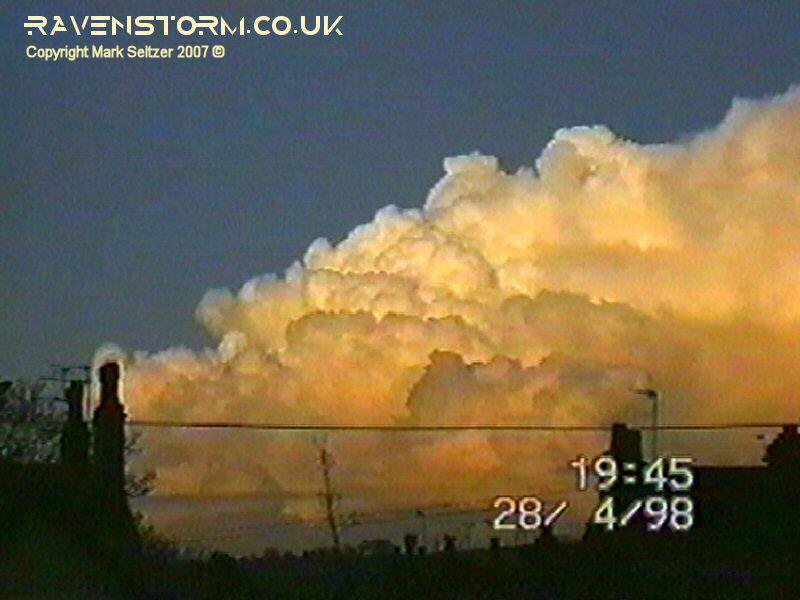
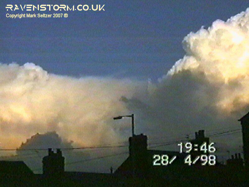
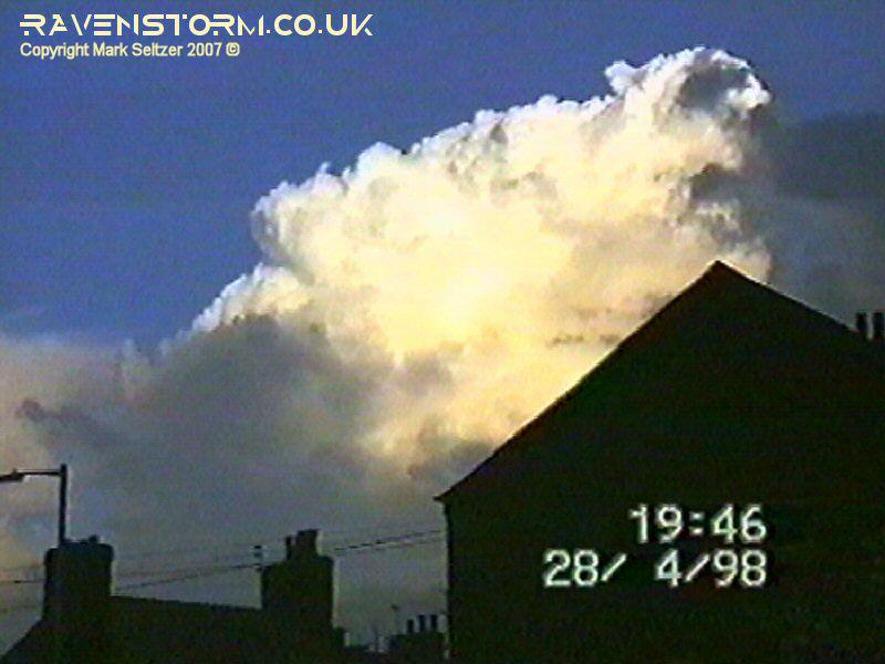
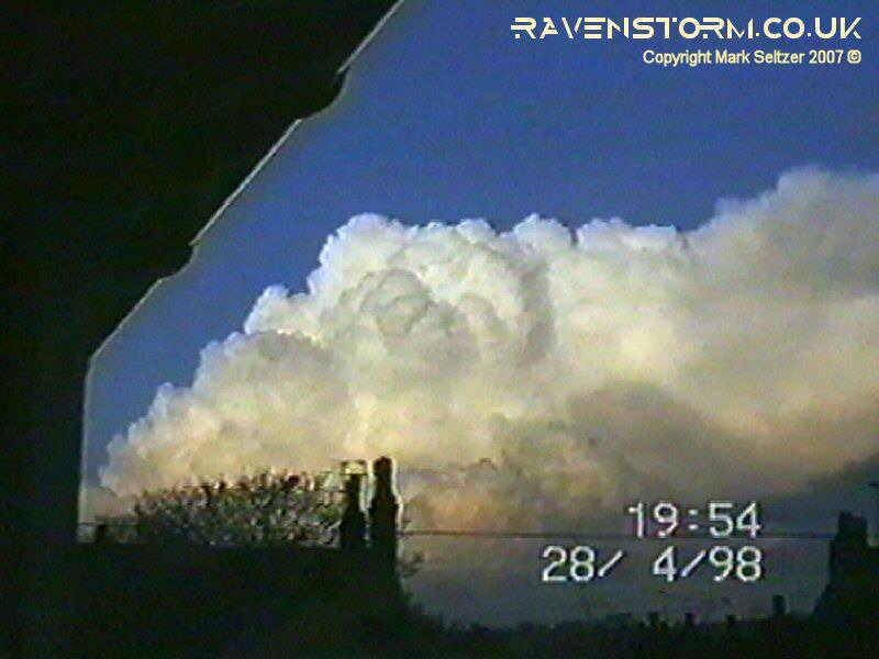
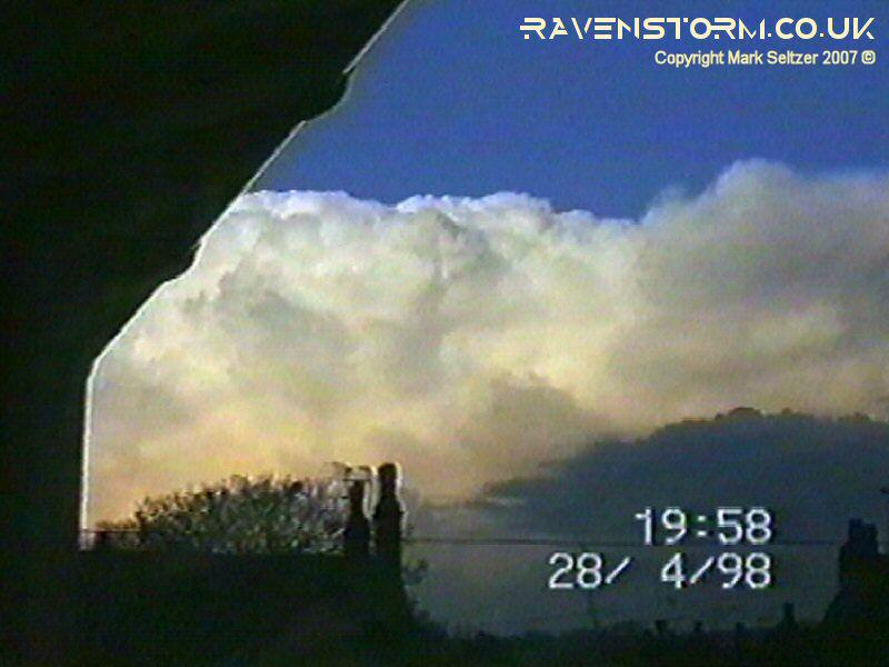
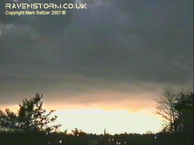
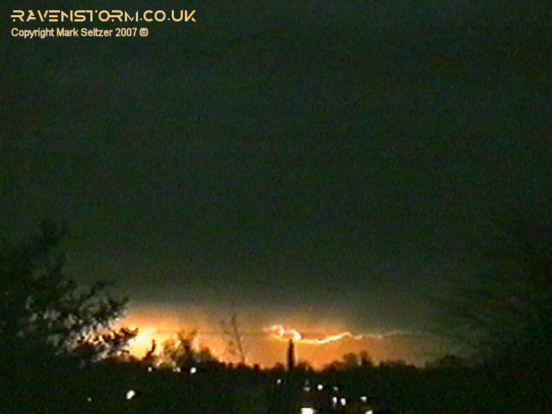
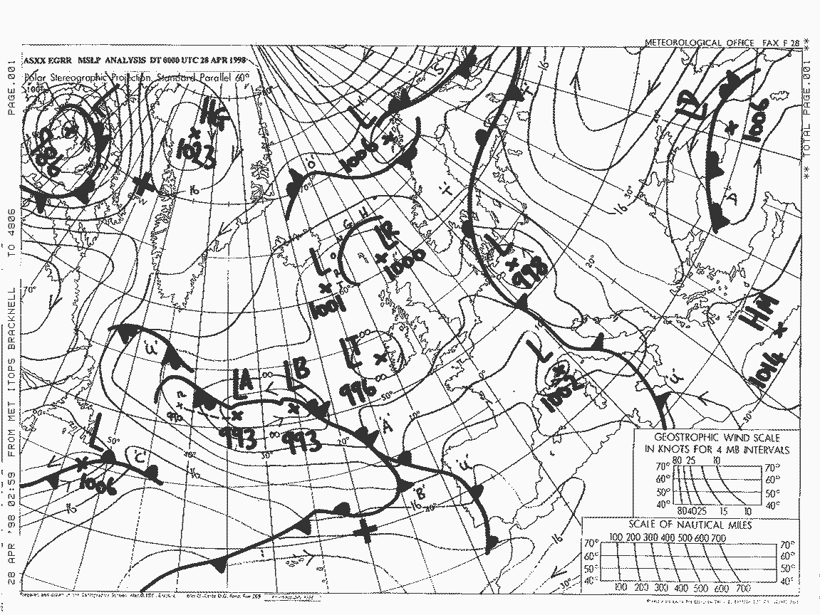
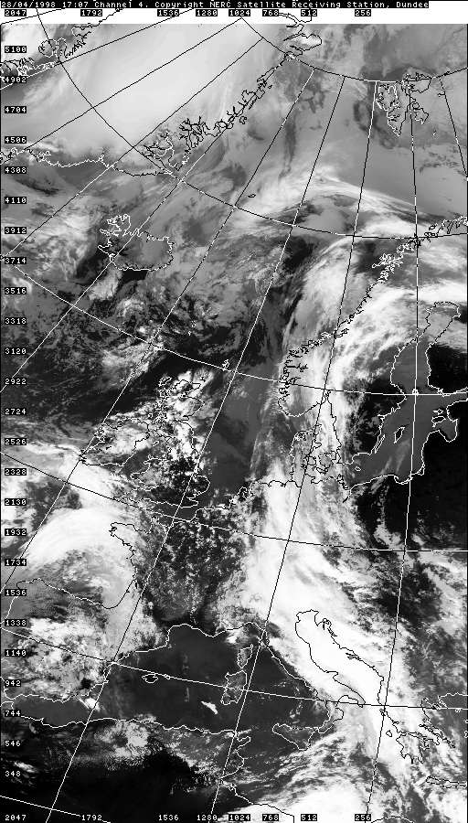
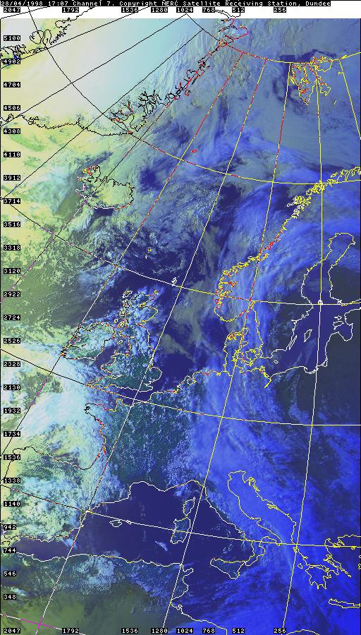
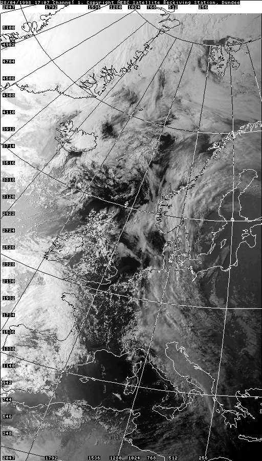
THUNDERSTORM T0010 Compared with T0009, this was an absolute beast. However it developed overhead and matured several miles north where the thunder was in-audible. The good news was it occurred during the late-evening, so the lightning was clearly visible. It was substantially active considering it was a slow-moving mid-spring open-cell storm. The air-mass is hard to judge looking at the past satellite imagery; but the Met Office analysis chart below indicates it was likely returning polar. It was a surprisingly warm day at 24C for an RT airmass, perhaps a small cap was present. A cluster of storm cells were moving in at around 20:00 UTC whilst in their development stages. One of these cells was about 30 miles away East over the Pennines that showed prominent cell growth at the front, and a solid wedge-shaped anvil at the rear, indicating a shear environment favouring forward-propagating cells (rearward sloping).
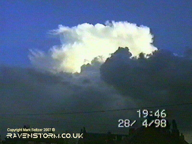
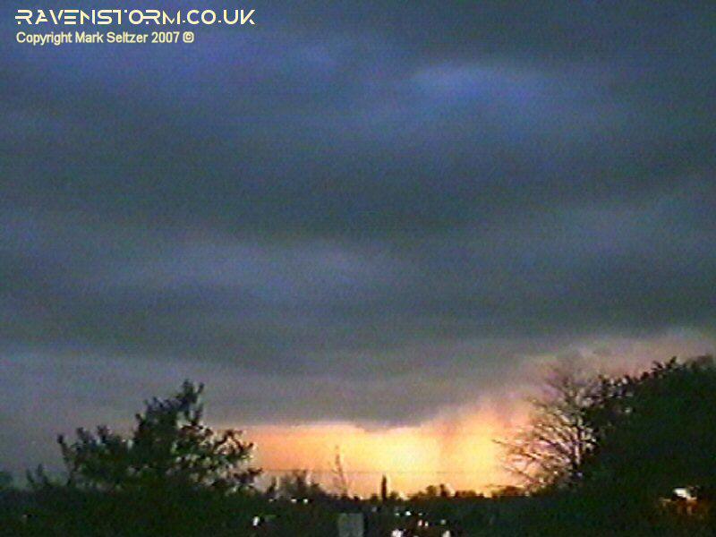
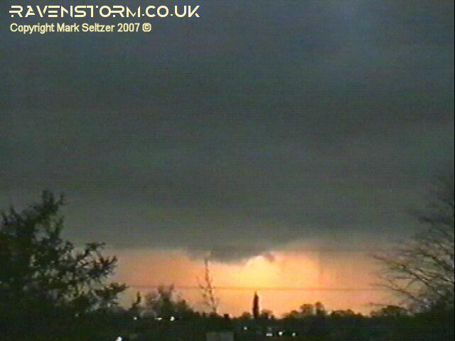
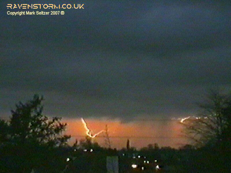
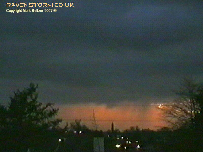
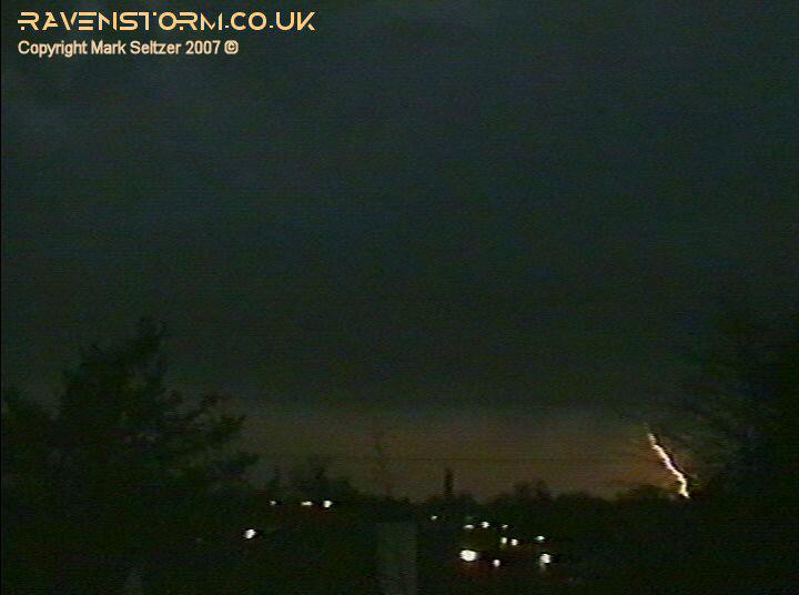
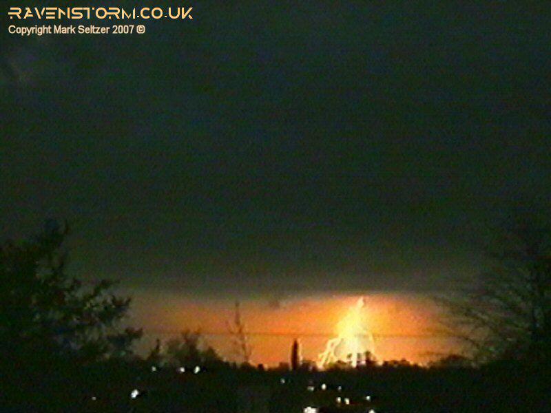
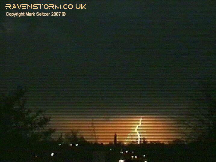
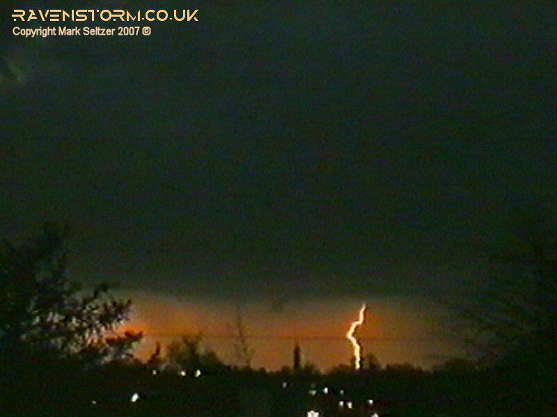
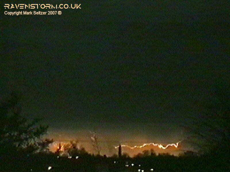
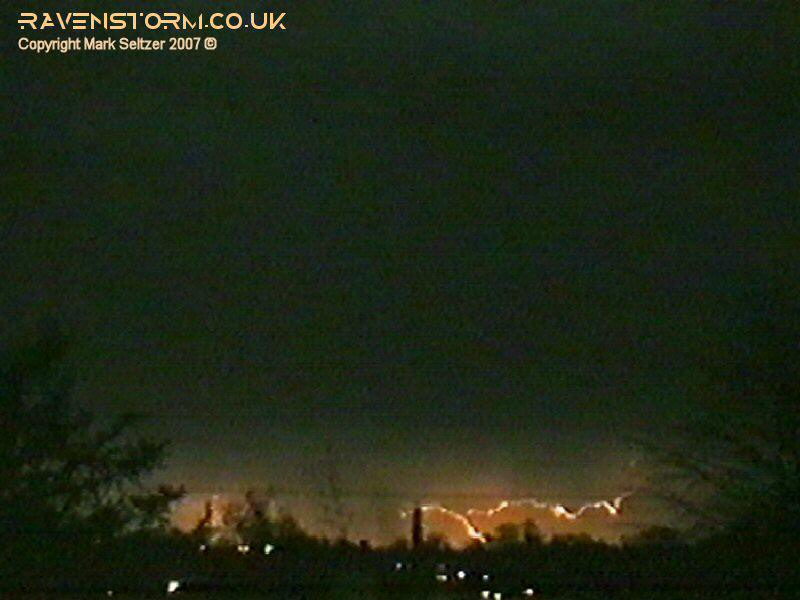
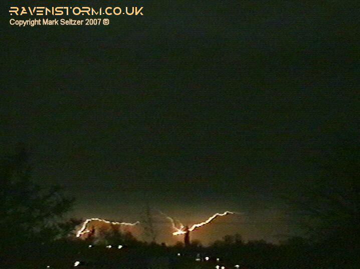
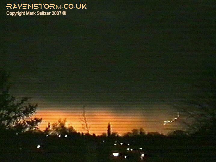
The developing cells quietly rolled over Macclesfield only giving a light shower in the form of large raindrops. A few minutes later after it had past to the north I heard a rumble of thunder. I had a look out of the window to analyse the horizon and saw a further lightning flash to the north. The base didn’t look very structured nor did it appear to have much in the way of precipitation curtains, so initially I thought I was filming an inactive cell that fortunately gave a discharge on the off-chance. That was ruled out shortly after it started splashing C-G and C-C lightning all over the place with a reasonable discharge rate. After a further two flashes I zoomed the camera in to where I the lightning hotspot was.
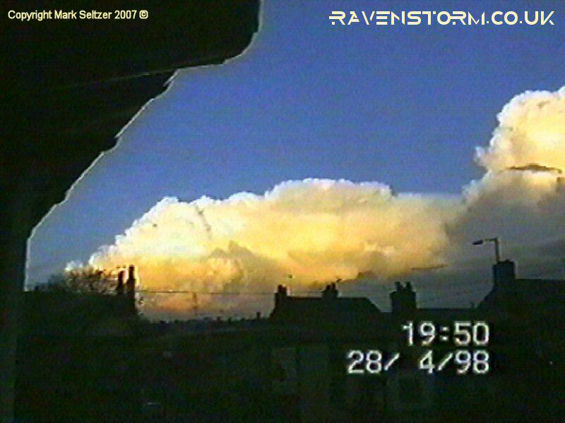
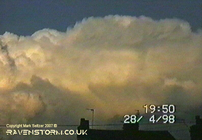
As it was a slow-mover, this storm was seen from Macclesfield to produce a rough total of 33 discharges as the storm matured over parts of Stockport and southern Manchester. Thirty of these discharges were recorded on camera. Most of these discharges were visible C-G or C-Cs, sometimes accompanying each other. The discharges rates were somewhat uneven though, some quiet periods and some active periods, indicating the "pulse" nature of tower development.
|
© Mark Seltzer
www.electricsky.co.uk