
![]()
|
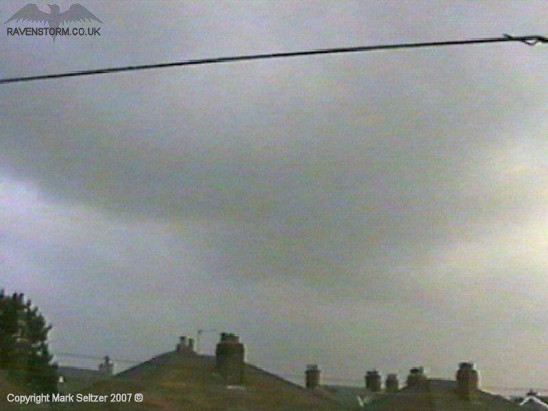
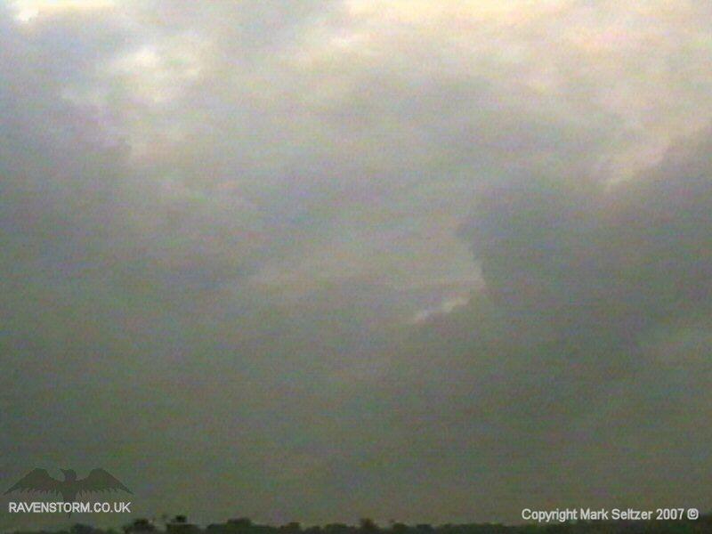
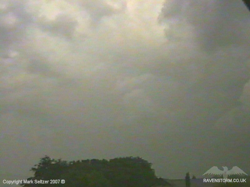
THUNDERSTORM T0012 This storm created one of the heaviest bursts of rain I have personally seen to date, with large rain-droplets. On the radar there was a pronounced red echo in the nearby area giving away the storm's core. There were a cluster of cells extending from Macclesfield to Liverpool. After dumping a shed load of rain on Macclesfield and giving a few shots of lightning C-C and C-G lightning, it swept over Manchester and then later more northern parts.
The discharges the storm gave were of high-amp nature. However they were far between with around 4-6 minutes between each discharge (eventually speeding up when exiting the area). The visibility was also reduced as sunlight was penetrating around the edges of the storm through the already-dense rain curtains, so the lightning was often faint to the camera. Strong downdraughts were present during the head rain with gusty winds, which also made it hard to film upwind without getting rain on the lens.
The lightning caught on camera concluded at 4 sheet-flashes (could have been reflections of visible streaks), 3 C-Cs and one C-G discharge. Shortly after the storm cleared the area, a separate cell (T0013) started to move in from the south and trundled just east of Macclesfield.
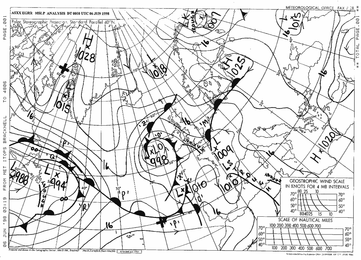
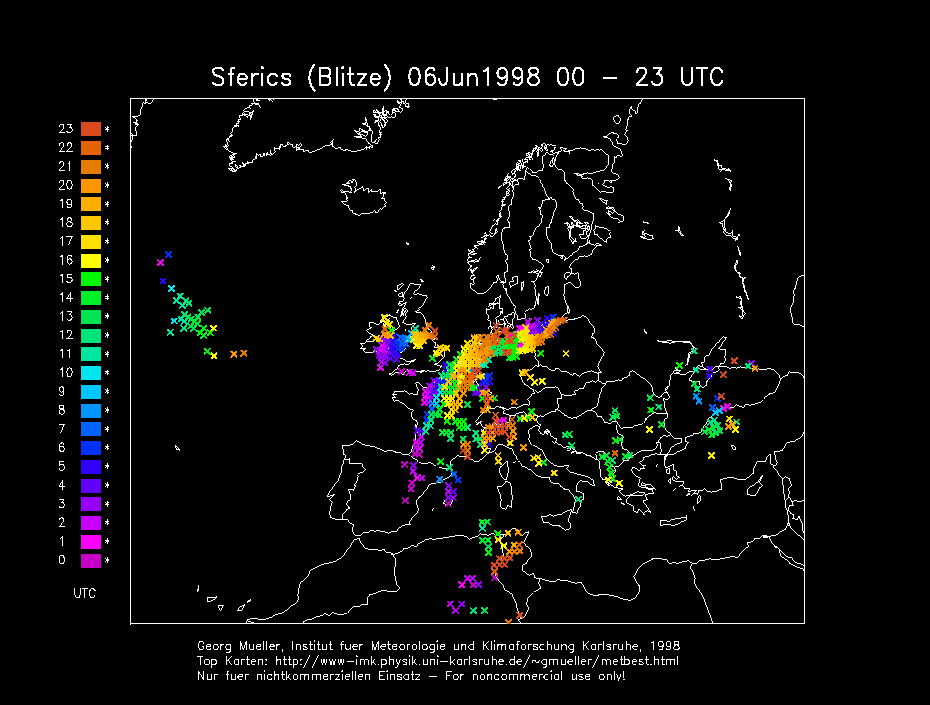
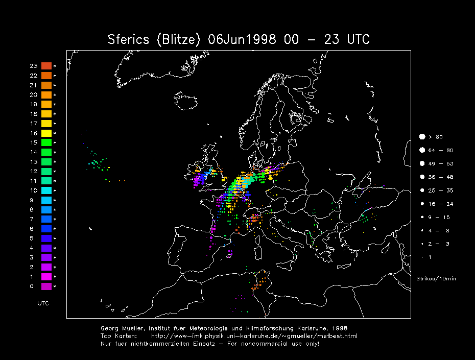
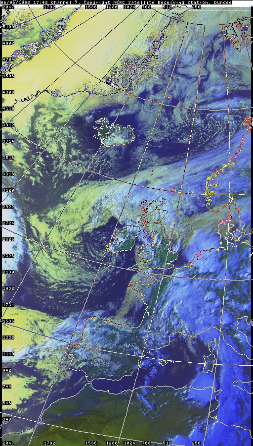
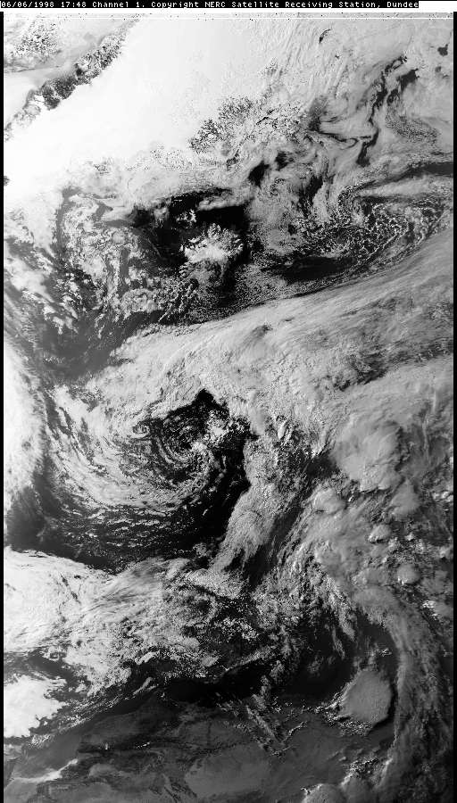
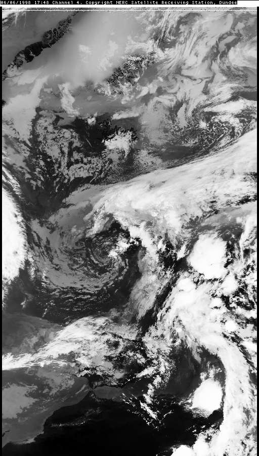
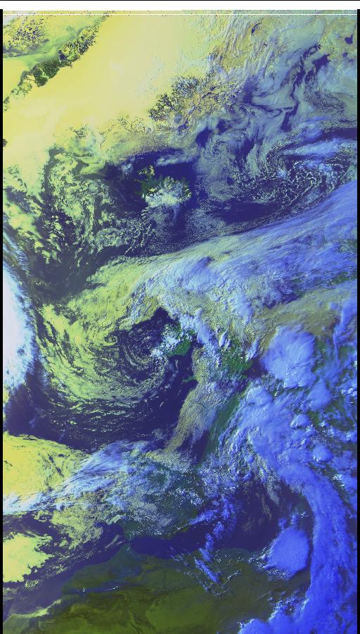
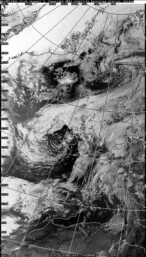
CHARTS (Credits)
|


© Mark Seltzer
www.electricsky.co.uk