
![]()
|
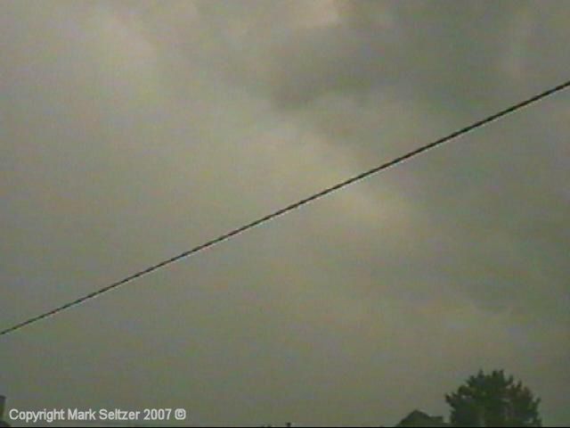
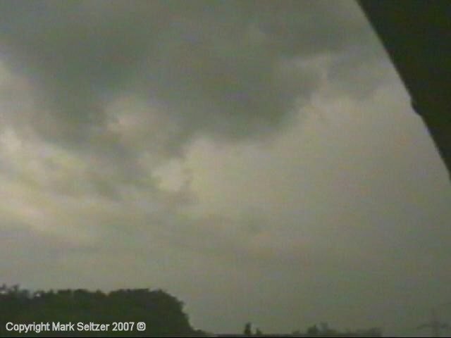
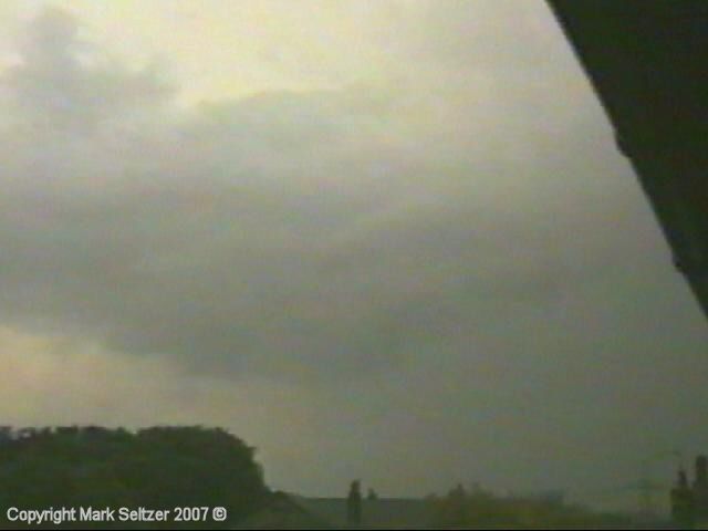
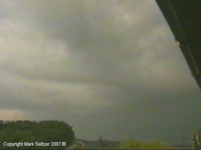
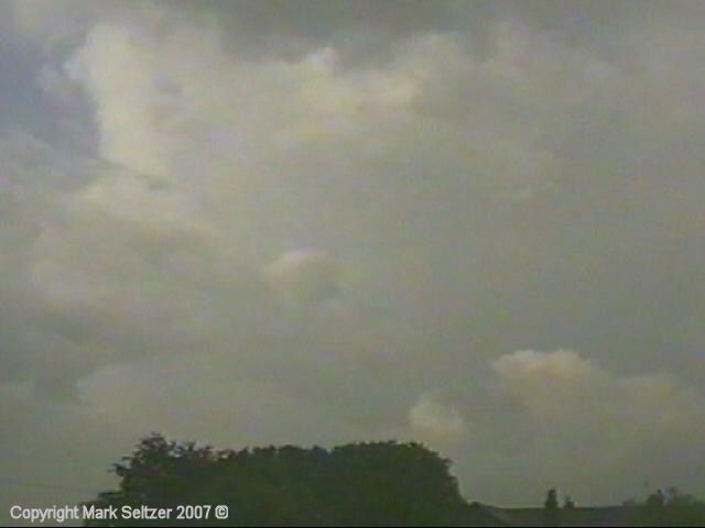
THUNDERSTORM T0013 As T0012 cleared the area, this trailing cell followed it closely and rolled over the Pennines to the east. This was much smaller than T0012 but it was more active. The discharge rates were about 2-5 minutes, but unfortunately it only skimmed Macclesfield and didn’t pass directly overhead. The back-end of the cloud was very dark and there were also tell-tale signs of updraught at the back given away by lumpy precipitation-free cloud bases. I think this storm was also sharing the same anvil as T0012 (merged thunderhead), with it being in such close proximity.
The lightning caught on
camera consisted of 1 or 2 faint sheet lightnings, 1 small C-C and one large
(but faint) twin low-amp C-C discharge which gave a weak thunder like
firecrackers.
|


© Mark Seltzer
www.electricsky.co.uk