
![]()
|
THUNDERSTORM T0014 My first supercell-like thunderstorm, and much to my surprise, in the UK outside my house (cheap chase)! With this season being fairly active, this was the icing on the cake. Originally I wasn't on the lookout for storms on this day as there weren't any forecast for the north (mainly for southeast England) and I was at school (I was 14).
This came
after a previous cell that passed through at around 13:30. We were doing PE
and it absolutely tipped it down, so we did alternative PE by watching
England beat Tunisia in the World Cup group stages in the gym. I remember
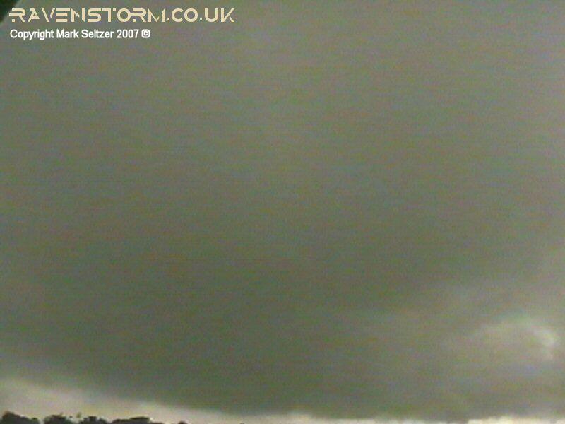
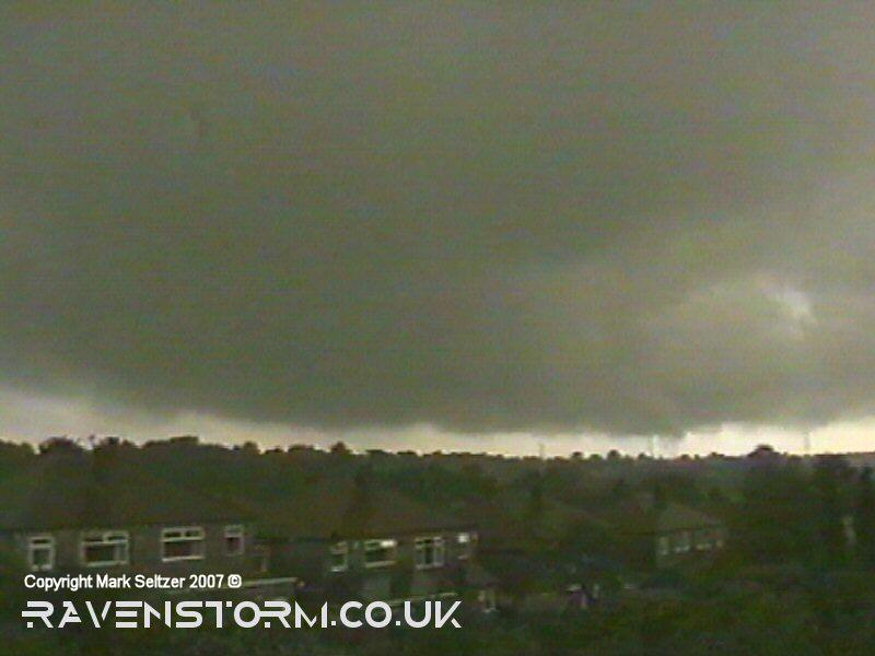
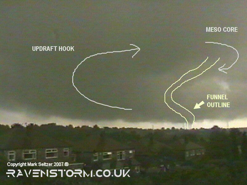
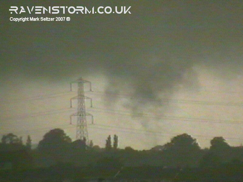
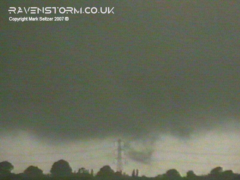
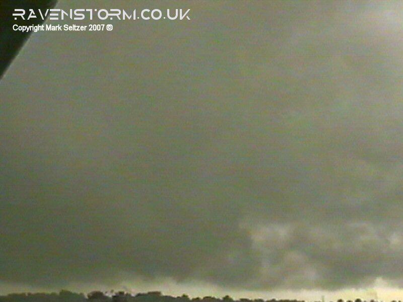
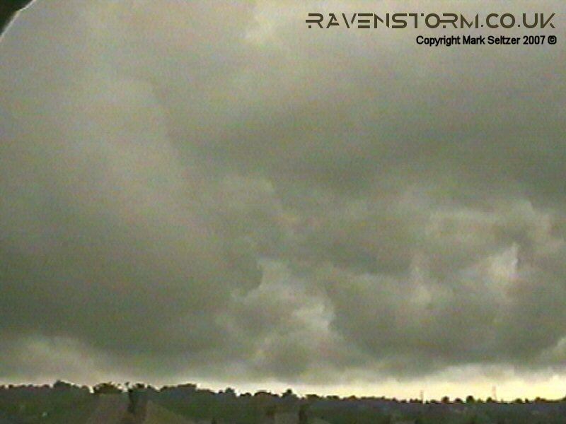
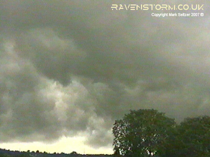
some pupils protested against this and played netball in a monsoon. I was returning home in the torrential rain from the core of this cell as it passed over with weak C-C lightning cracking overhead. By the time I got the camera set up (dripping wet) the lightning activity had dissipated and it fell silent. However the lightning wasn't of any relevance after I found something else to film... albeit I didn't notice at first. I set the camera up facing northwest down the Cheshire plain, not really taking any notice of the storm at first as I was still trying to dry myself off, and hoping to catch some electrical activity. It turns out I pointed the camera at a mesocyclone, as the clouds were rotating, and a funnel was already trying to form, but I didn't notice it at first due to the low-contrast backdrop and faffing with clothing. I only noticed, and frantically rustled the camera, when I finally saw a piece of cloud lowering against a thin sliver of brighter skies. It turned out to be a silhouette of a rotating vortex about 3-4 miles away northwest with a low-contrast funnel connecting it to the parent mesocyclone. It was brief and disappeared quickly, but analysing the footage in the following years has made me more and more convinced this is was a brief tornado despite debate.
In the footage (top of page), the parent funnel was very difficult to see against the same-shade background and poor-quality VHS resolution, but messing about with the contrast shows something is there. Why the big deal? It may have been brief, tiny and barely visible, but it's a big deal because it's the UK. Confirmed tornadoes in the UK are extremely rare and that's what makes this case interesting and worth spending a bit of time analysing. I have had this footage on Youtube for over a decade, and there has been much debate as to whether or not this was a tornado, a funnel cloud, or just scud, often with the usual amount of unhelpful trolling from over the water. I have since deleted that video and uploaded the above improved version. Subjective evidence is summarised below.
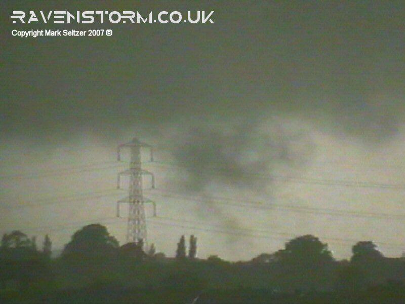
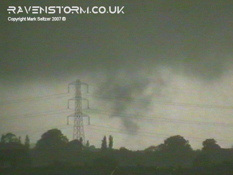
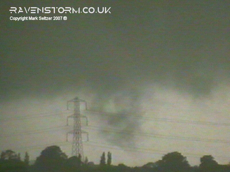
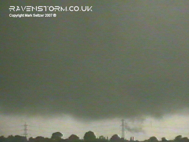
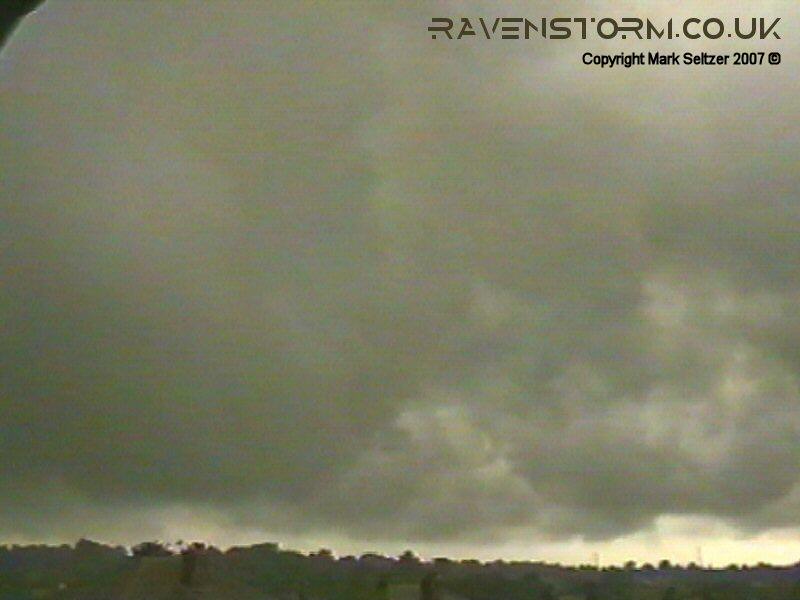
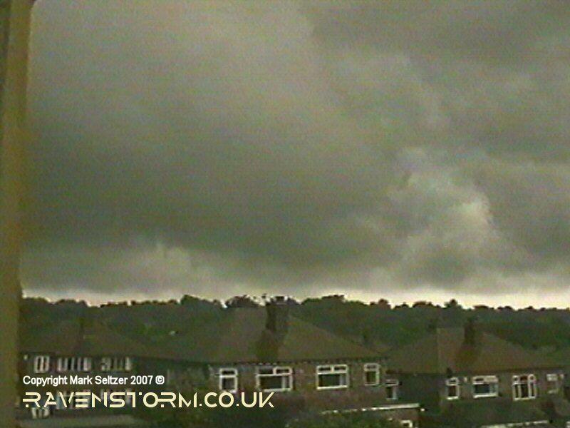
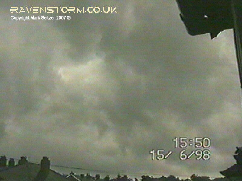
So after the "phenomenon" dissipated 20 seconds after I spotted it, I was left viewing the slowly rotating mesocyclone and towers as they span towards the south. Every now and then little scud funnels would appear under the mesocyclone, but none of them developed as fully as the first.
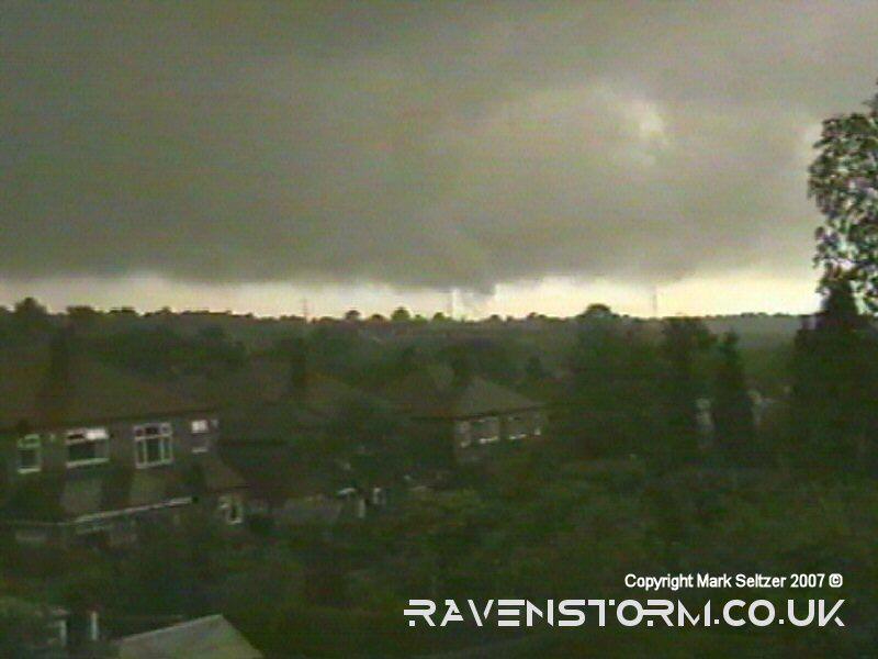
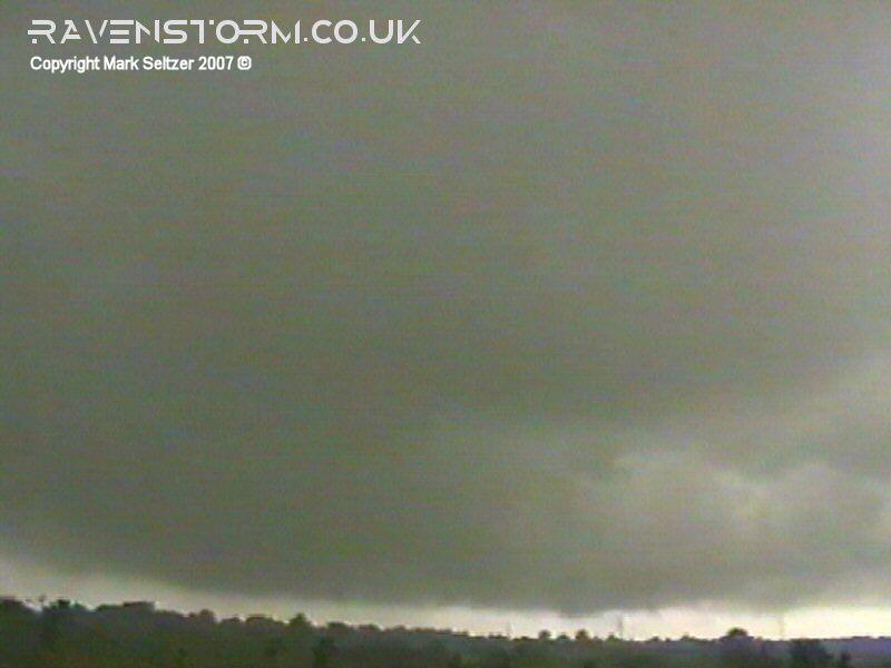
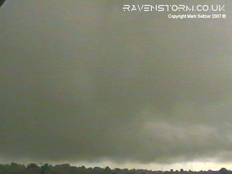
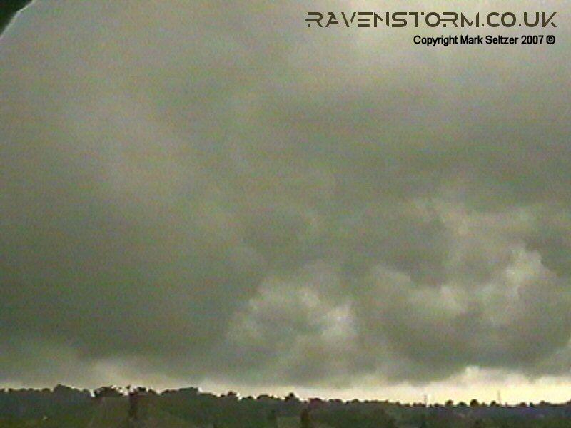
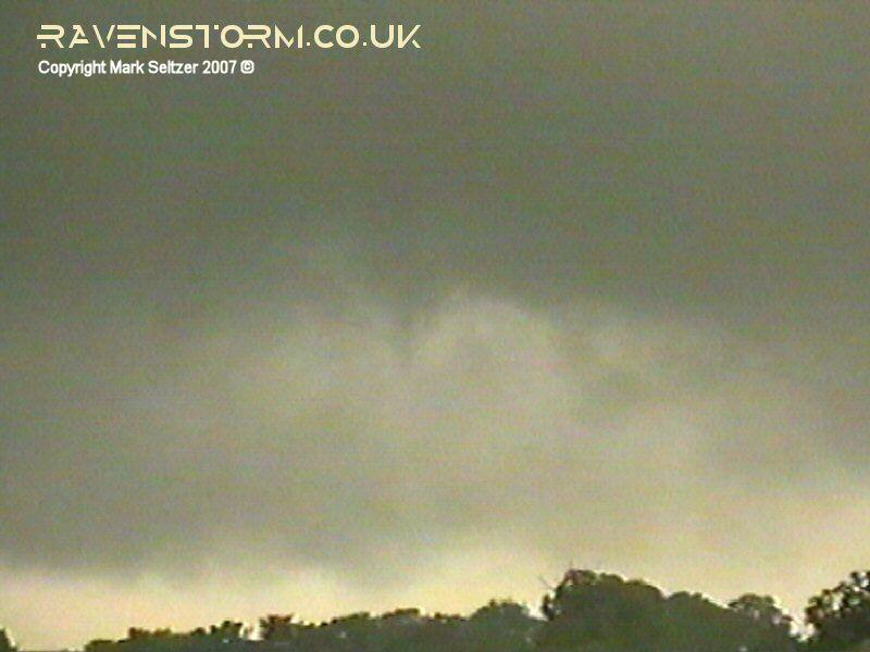
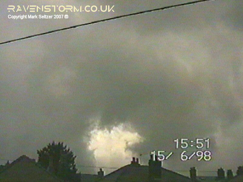
This gradual clearance gave way to a clearer view of the rear of the sloping arcus cloud to the northwest.
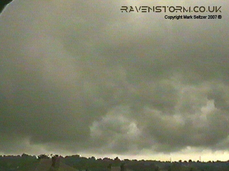
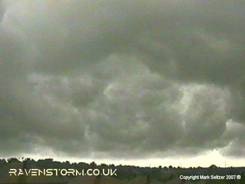
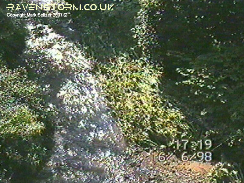
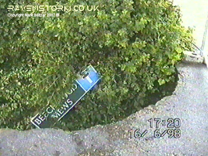
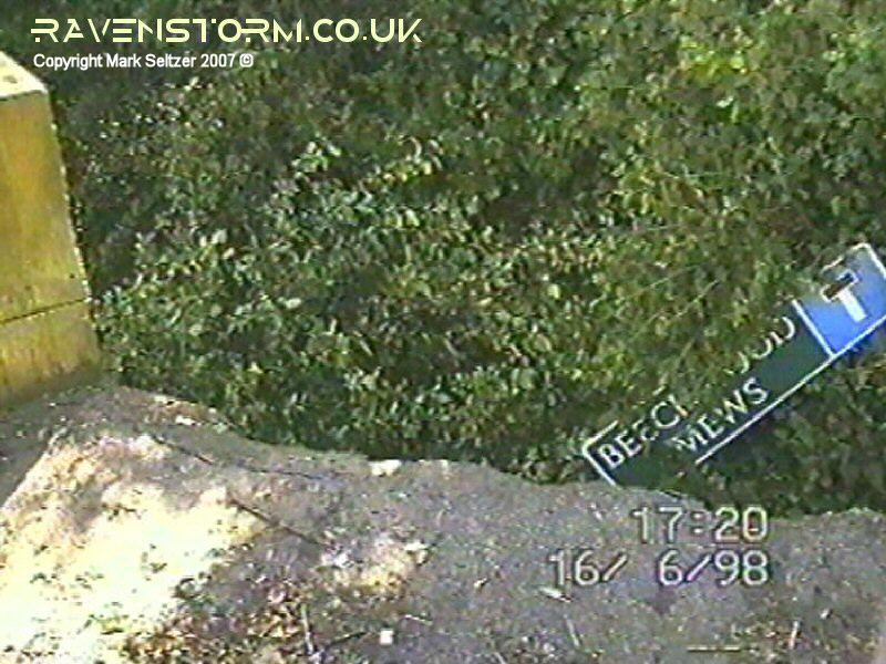
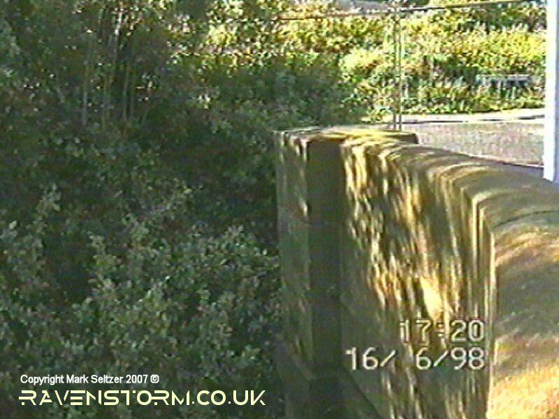
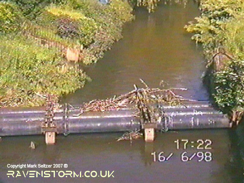
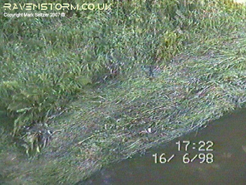
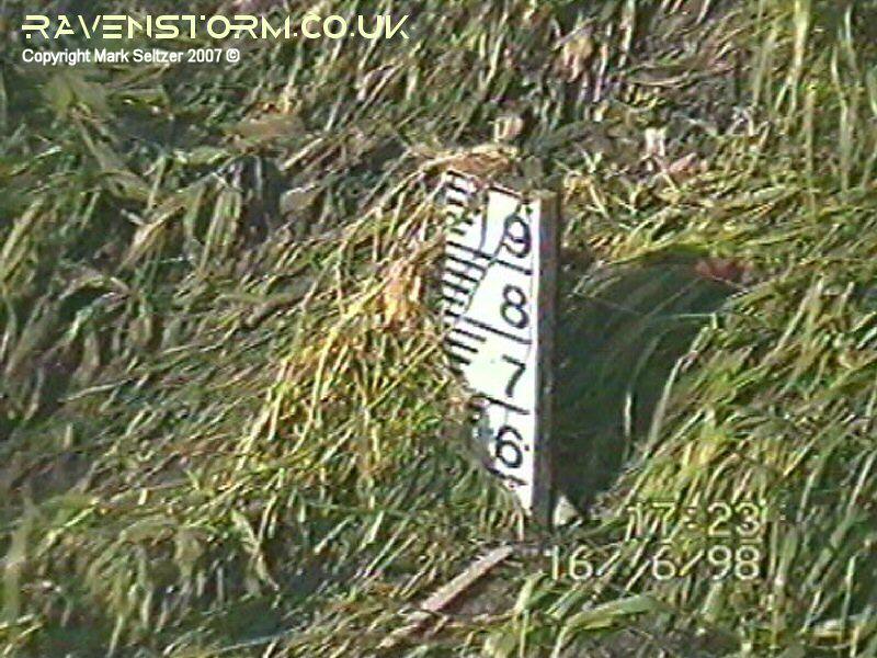
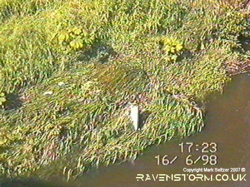
As the cloud broke up, substantial tower growth was visible over the Pennines to the northeast from developing storms. The anvils were showing mushroomed characteristics with no fibrous features (I have only Mk1 eyeball footage of this) which indicate strong CAPE and moist throughout depth, and perhaps some high-level stability preventing full ascent into the cold tropopause. The heavy rain during the day from the two cells at 13:30 and 15:00 caused minor flood damage in Macclesfield and neighbouring Prestbury where a severe downpour was also reported on the BBC news. Tytherington High School just down the road had to get a fire-engine to pump the water out of the music and reprographics rooms, and the River Bollin that runs through Macclesfield had suddenly rose 80cm-100cm in places. The water levels were clearly marked by flattened grass on the riverbank the following day after the flooding had receded, and part of the footpath on the Beach Lane bridge that runs over the Bollin had collapsed in a landslide (see images below).
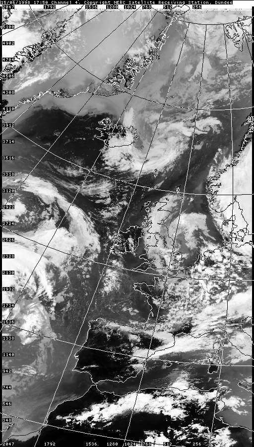
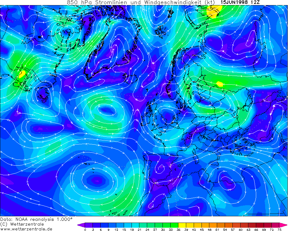
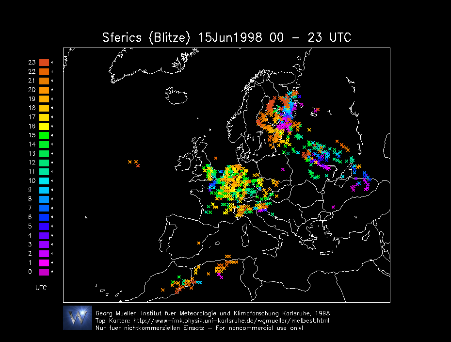
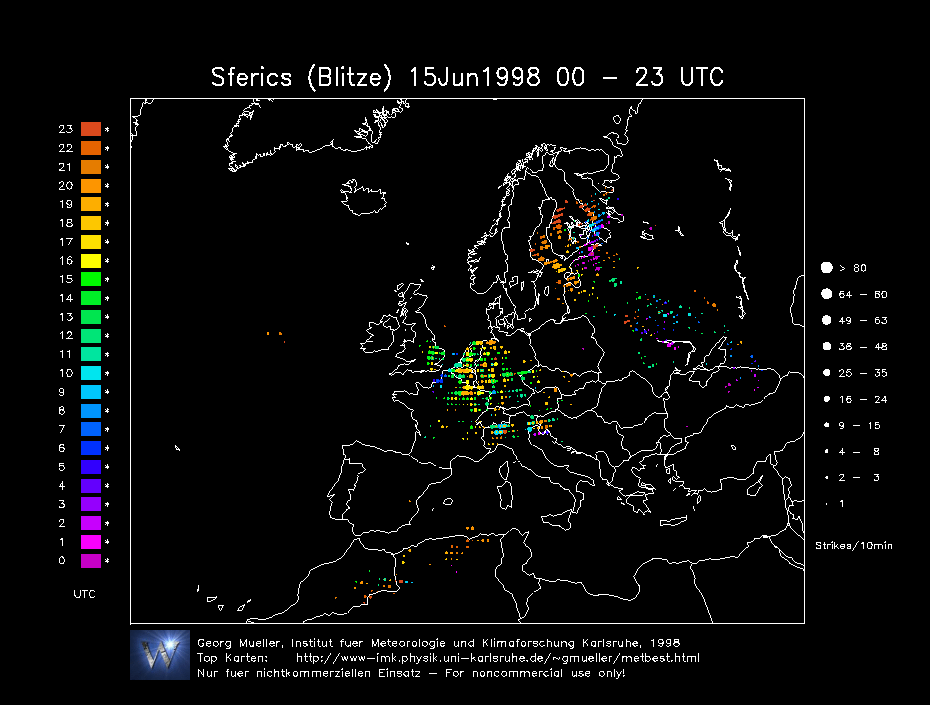
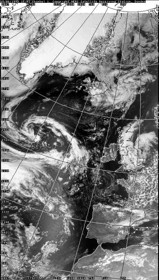
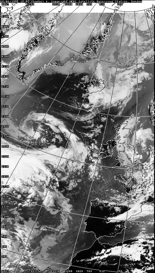
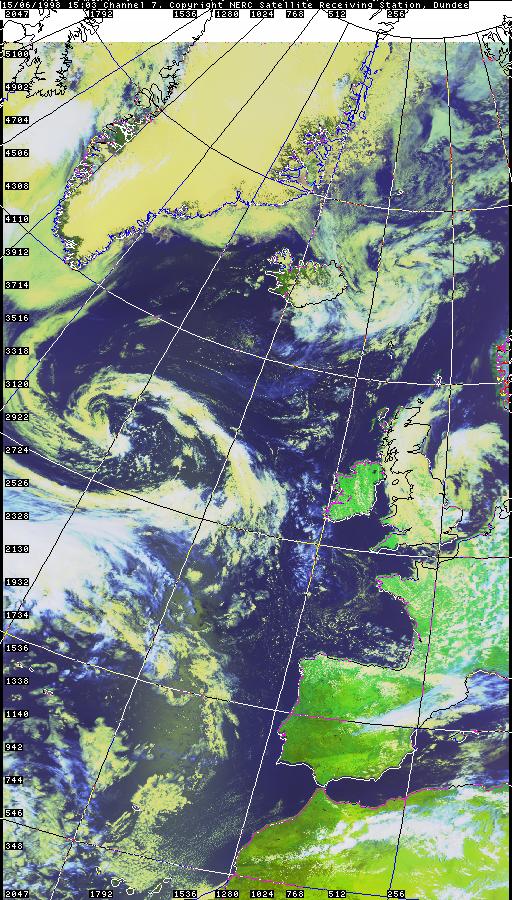
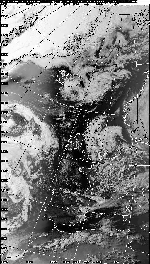
Weather Assessment If anyone can provide more broadscale weather data from this day, please contact me.
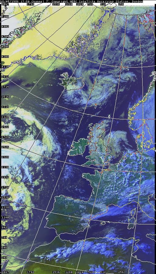
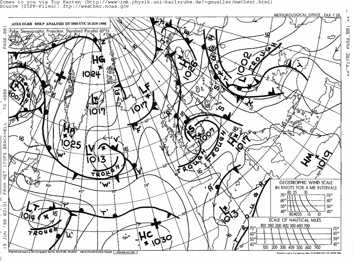
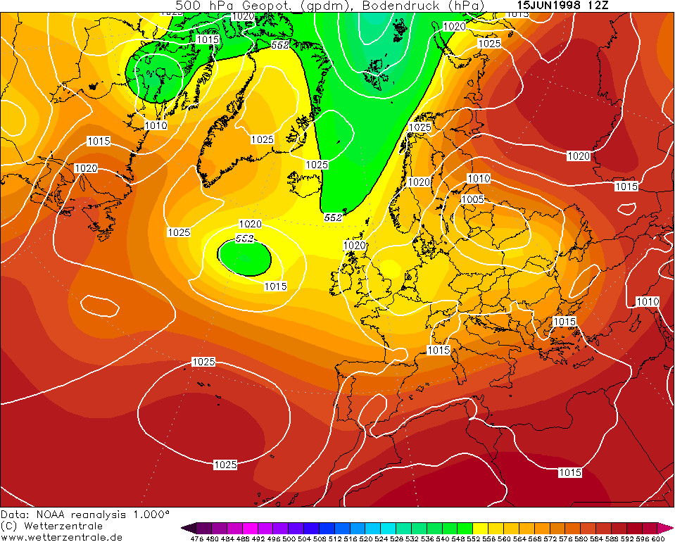
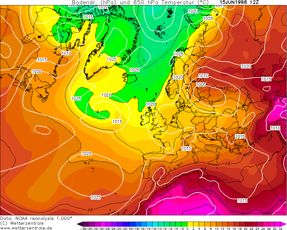
CHARTS
(Credits)
|

© Mark Seltzer
www.electricsky.co.uk