
![]()
|
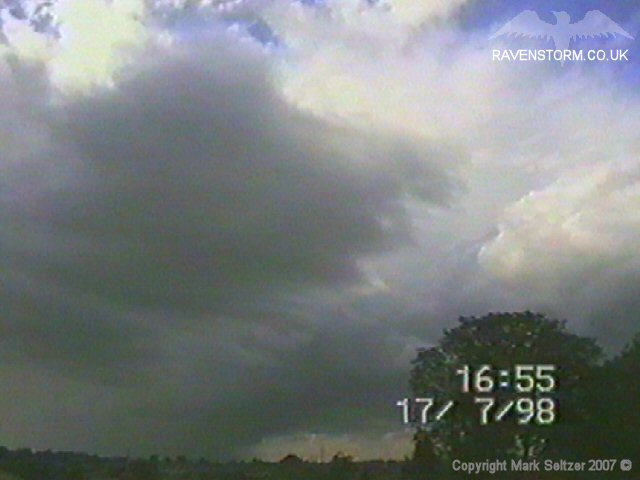
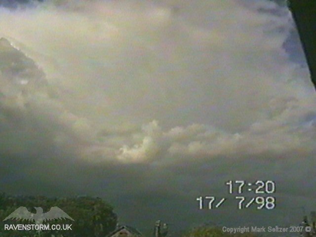
THUNDERSTORM T0016 I spotted this storm to the east where a weak and feathery-looking anvil had formed, so I started to train the camera on it just in case a good discharge came out of it. It was producing a bit of lightning as it approached given away by distant thunders but the camera didn’t pick any up due to daytime brightness. I saw a faint double-C-G embedded within the precipitation curtains.
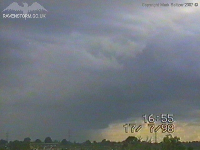
It then passed and continued eastwards giving way for a much larger cell which at this time was definitely too far away to see the lightning. However there was a rumble of thunder so that might have come from a positive flash. After that one had passed, another large cell followed behind, (see T0017).
|

© Mark Seltzer
www.electricsky.co.uk