
![]()
|
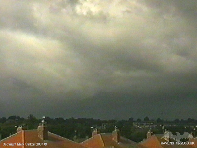
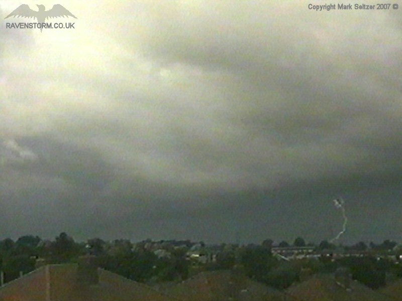
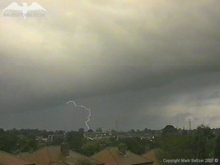
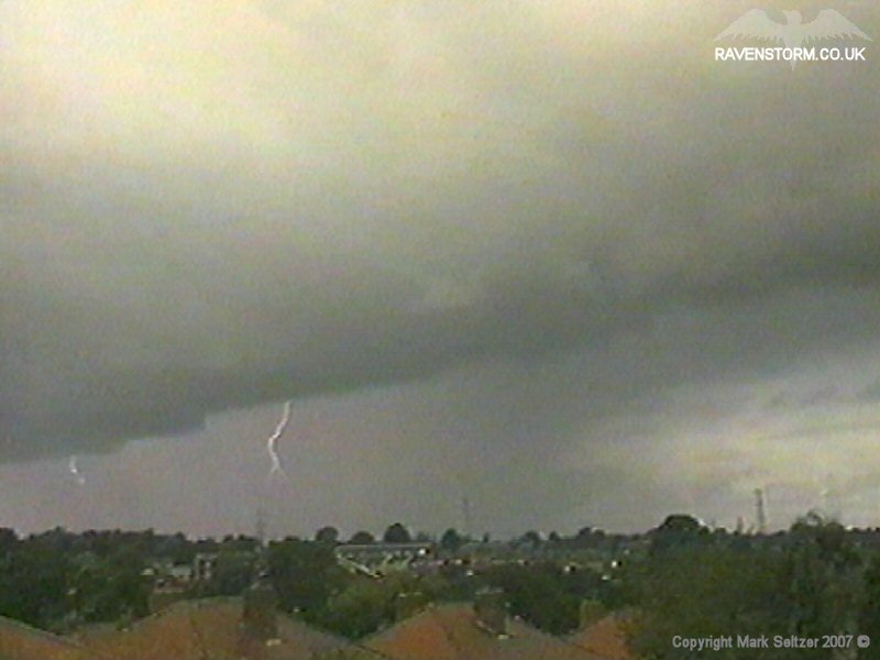
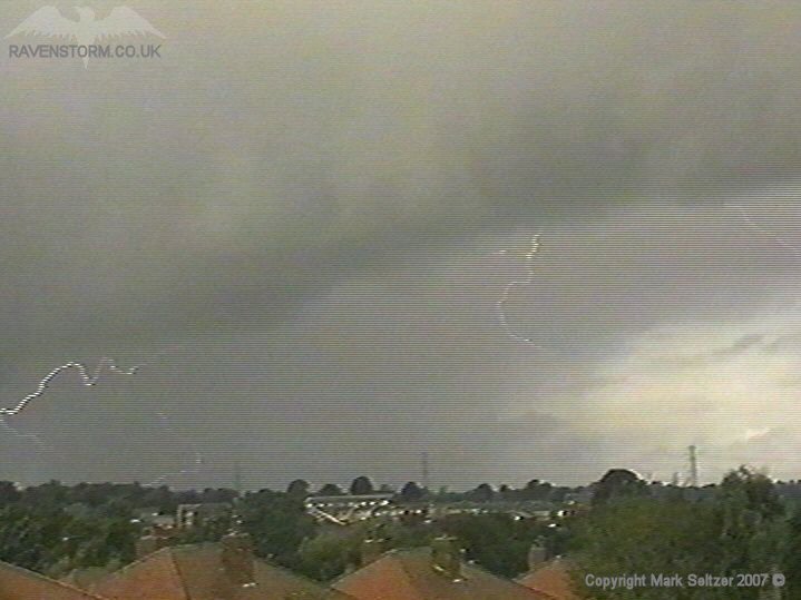
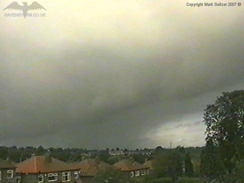
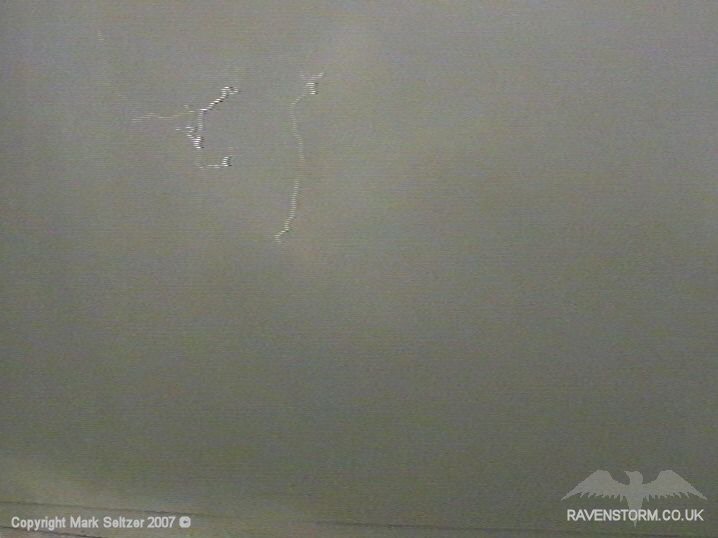
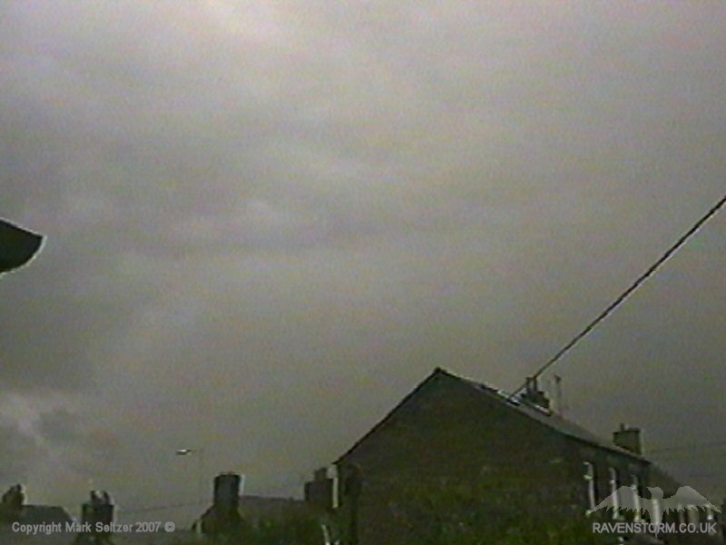
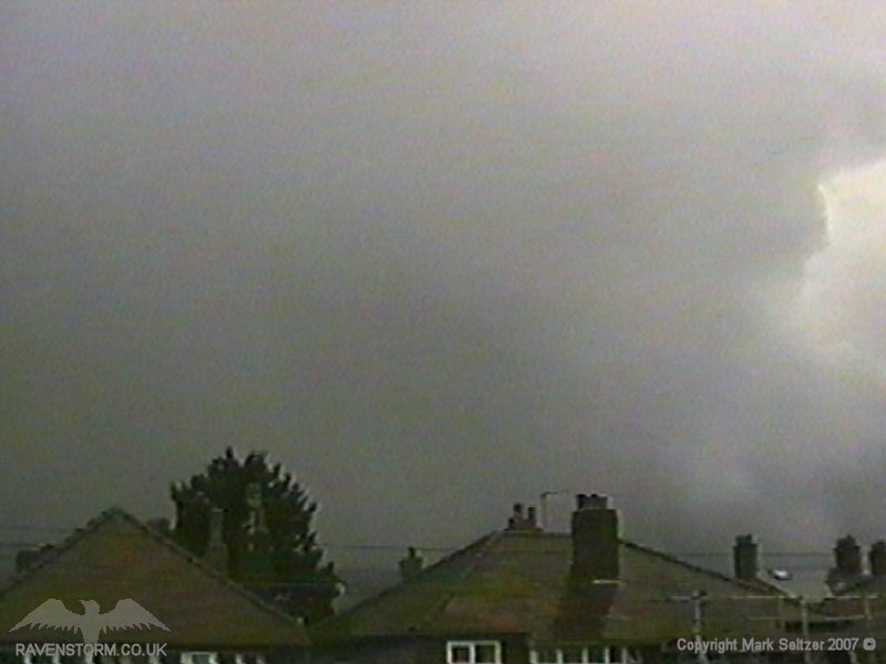
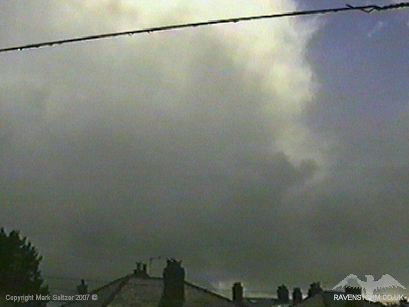
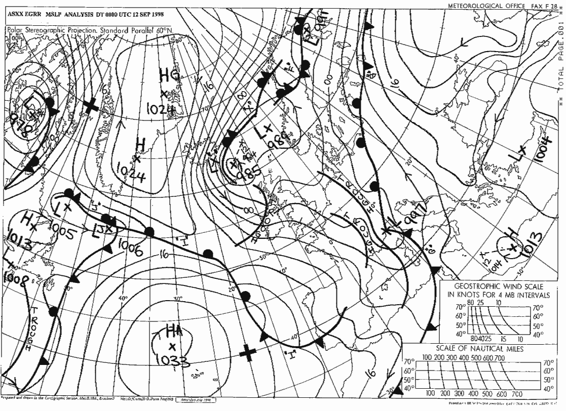
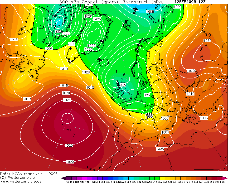
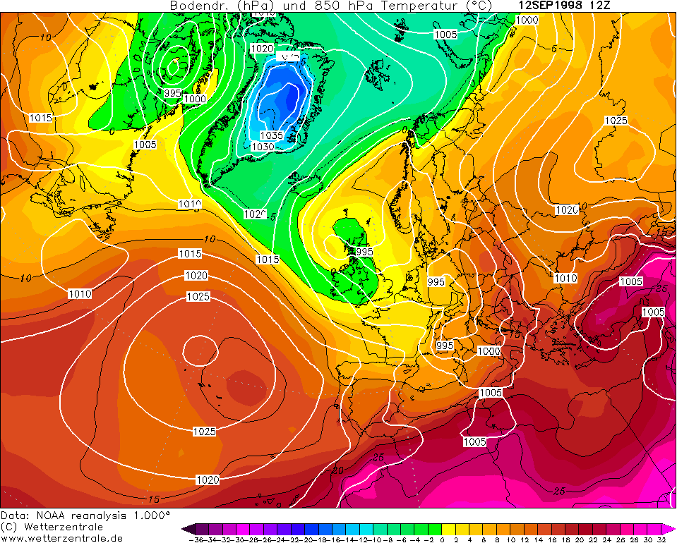
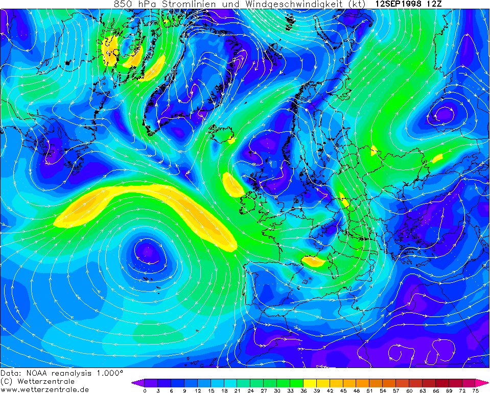
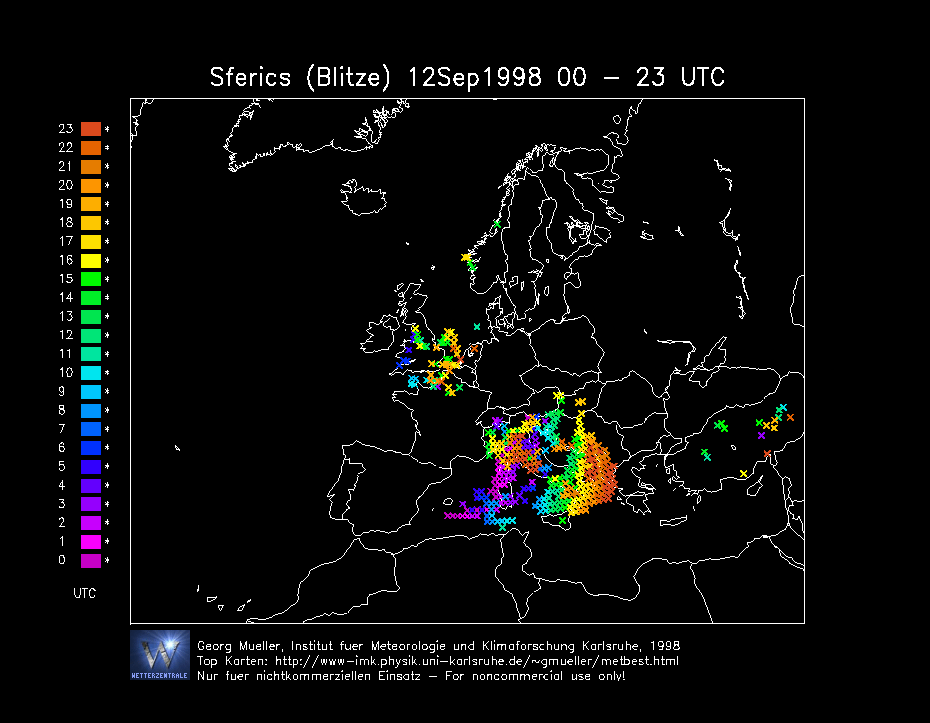
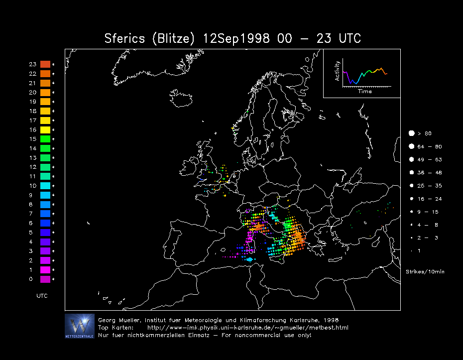
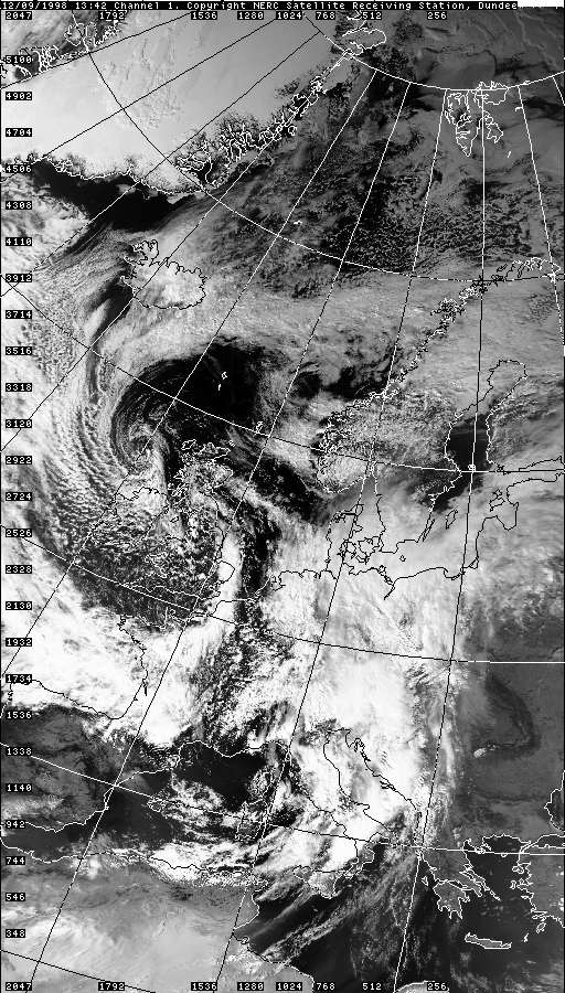
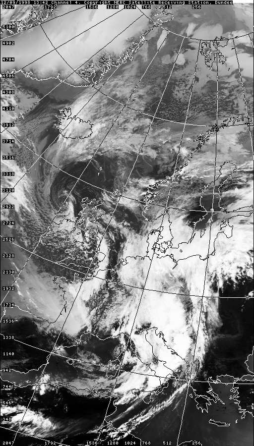
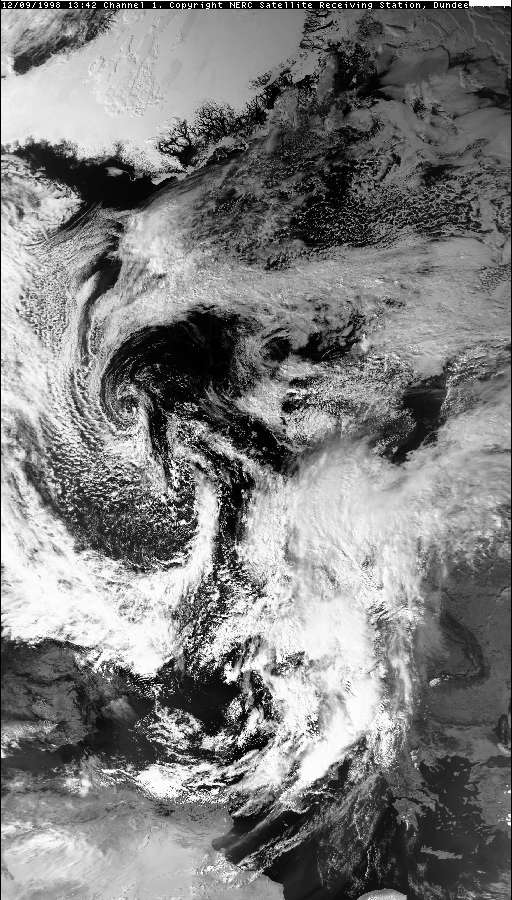
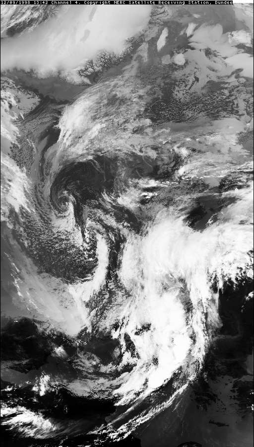
THUNDERSTORM T0019 This storm was associated with strong instability running behind a polar/arctic maritime trough/cold front (northwesterlies with winds originating from Iceland. The airmass behind the trough looked to be originated from the deeper Arctic regions, so the atmosphere could well have been as unstable as Arctic Maritime, with convection feeding off the "warm" September Irish Sea and Cheshire gap convergence. Looking at satellite imagery, it actually looks like this one was helped by synoptic-scale surface wind convergence, occurring along the south side of the hook of the preceding trough which was at the time over Cumbria/Northeast England. The cell approached Macclesfield from the northwest sporting a large arcus cloud formation on its leading-edge. This showed that the cell had a continuous updraught and was capable of producing hail and steady lightning. Under the arcus cloud fell plentiful C-Gs which were visible in the distance as it approached.
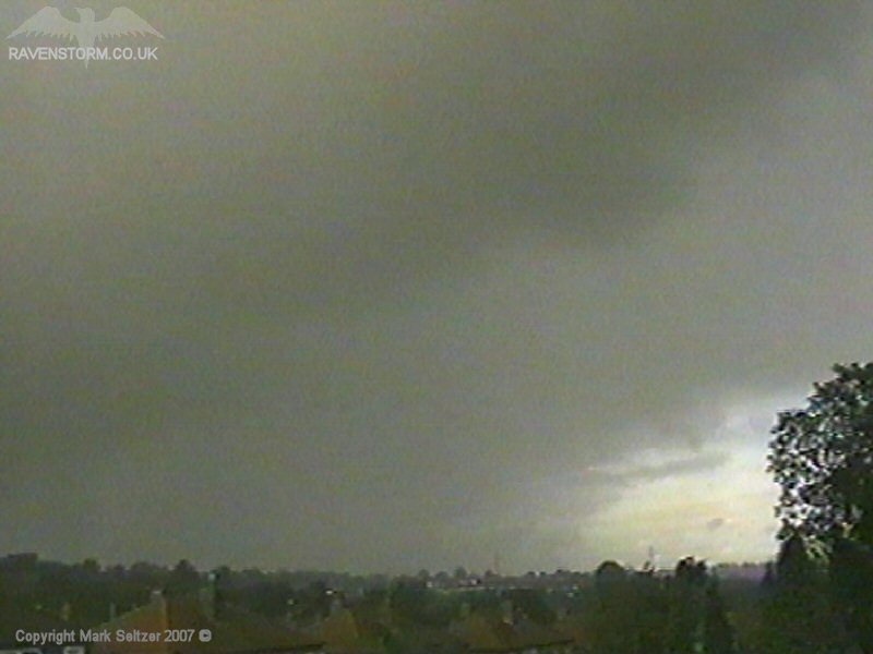
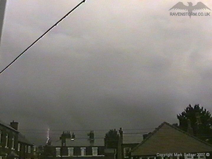
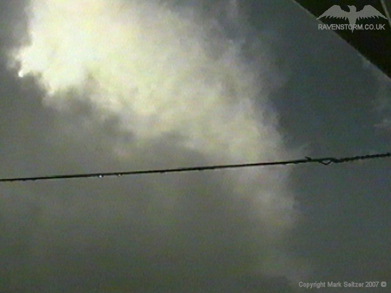
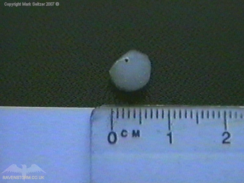
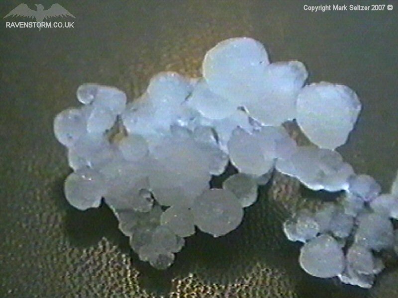
Rain started to fall as it made its approach, and a very close discharge (likely off-camera C-G) gave a loud cracking bang. Then classically the hail set in and it started hitting the camera and bouncing across the carpet of the room, so I had to change the cam position swiftly to face south. The noise was quite deafening for a time as the hail pelted the concrete outside. The hail stopped as a strange-shaped C-C occurred overhead with a low-amp crackle. The storm continued with its activity as it progressed southeastwards, leaving behind a fluffy rearward sloping anvil (classic with a leading arcus cloud).
It was the first storm I have filmed to be accompanied by a proper hail shower of around 5-10mm diameter stones (and surprisingly, typing this in 2021, the last, excluding some of my US chases).
|
© Mark Seltzer
www.electricsky.co.uk