
![]()
|
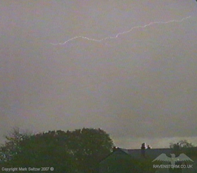
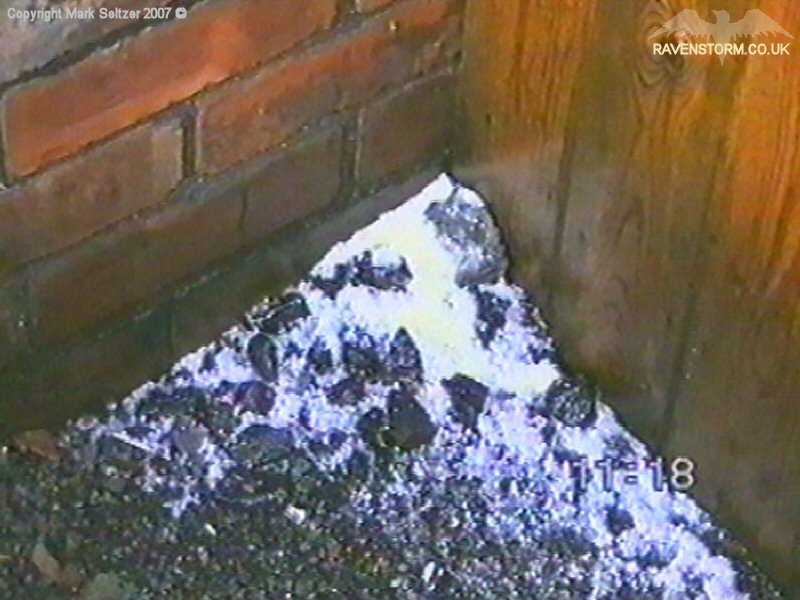
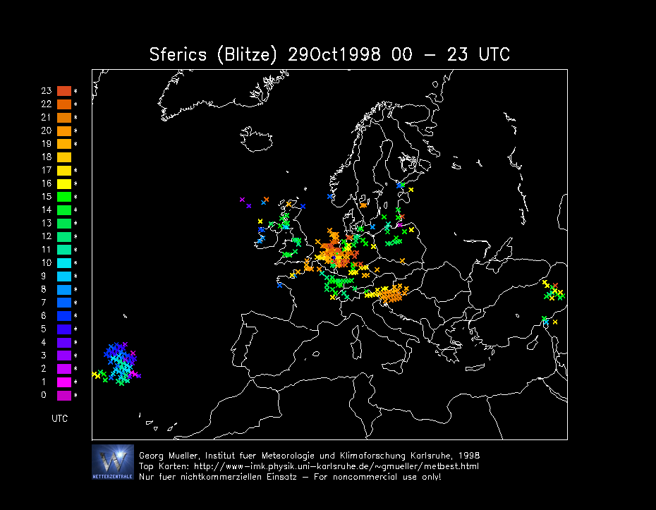
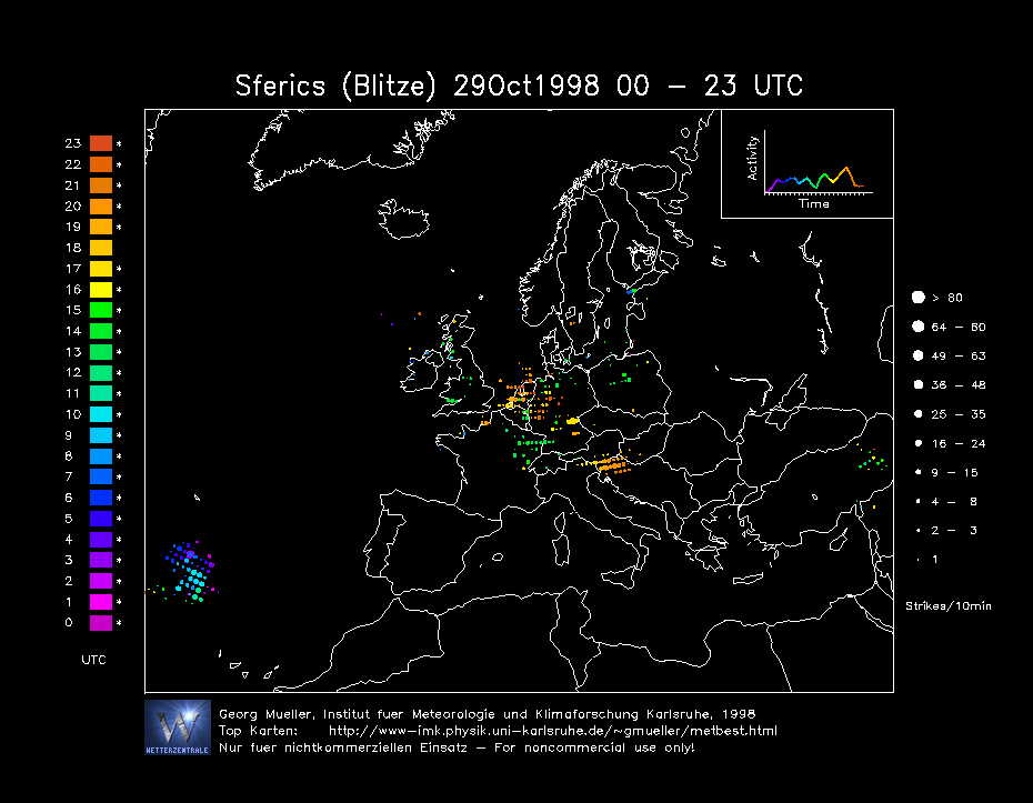
THUNDERSTORM T0020 This was a heavy late autumn wintry shower which was weakly electrified thanks to some enhancement by the Cheshire-Gap convergence effect. It wasn’t very energetic and gave a few discharges including an overhead C-C that had a very low-amp thunder, but accompanied with a bass-boom. Small hail, about 4-6mm, also fell during it’s passing - not on par with the hail of T0019, but this showed that it had strong organised updraughts, common in convergent situations where air is fed uniformly and uninterrupted into the storm. After the C-C, it fell silent and dissipated as it cleared the area.
|
© Mark Seltzer
www.electricsky.co.uk