
![]()
|
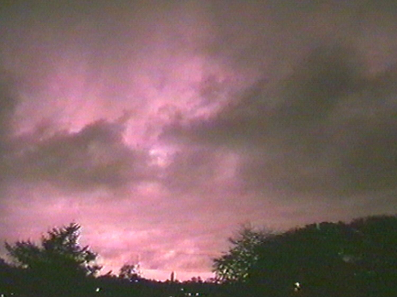
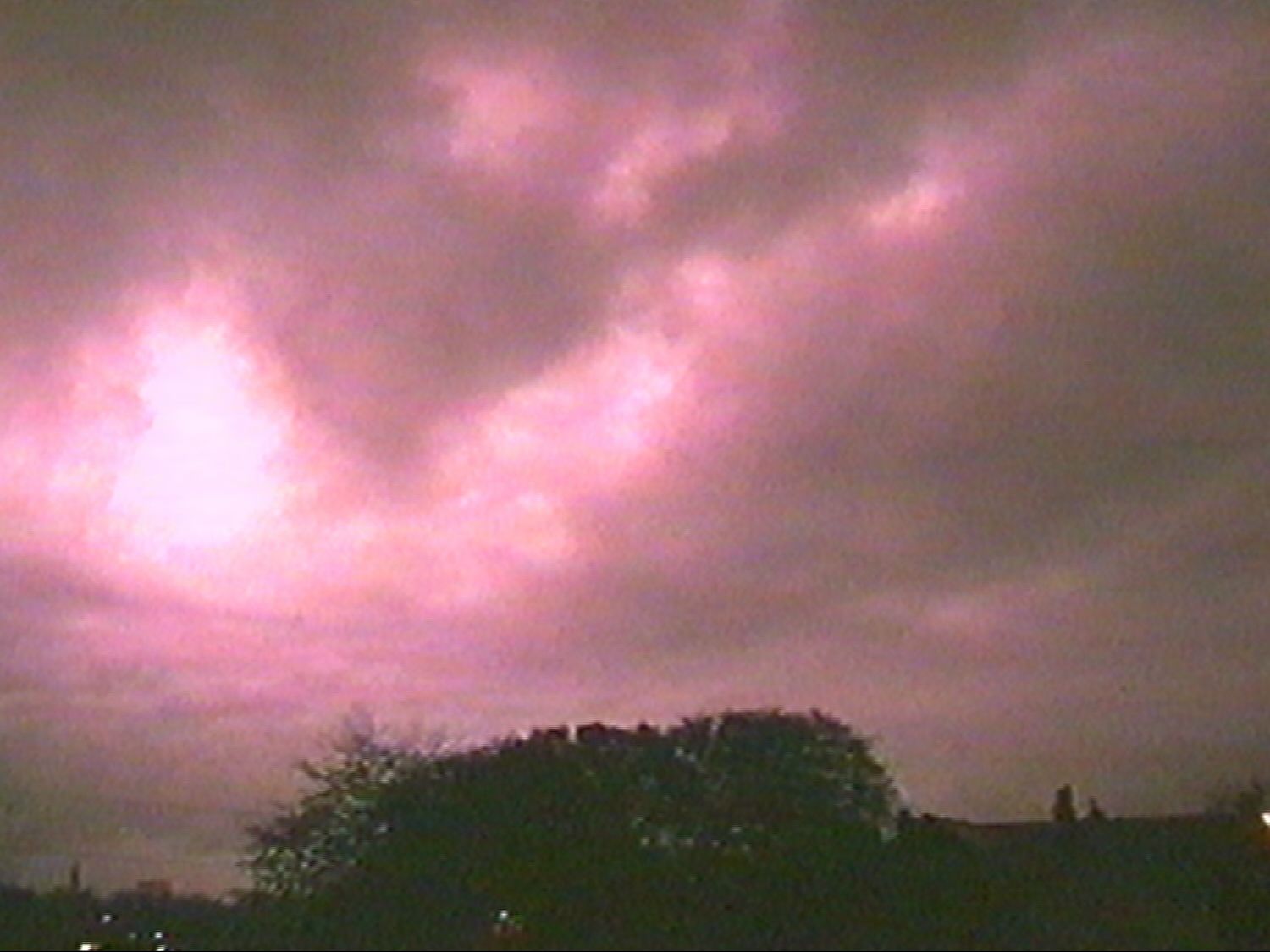
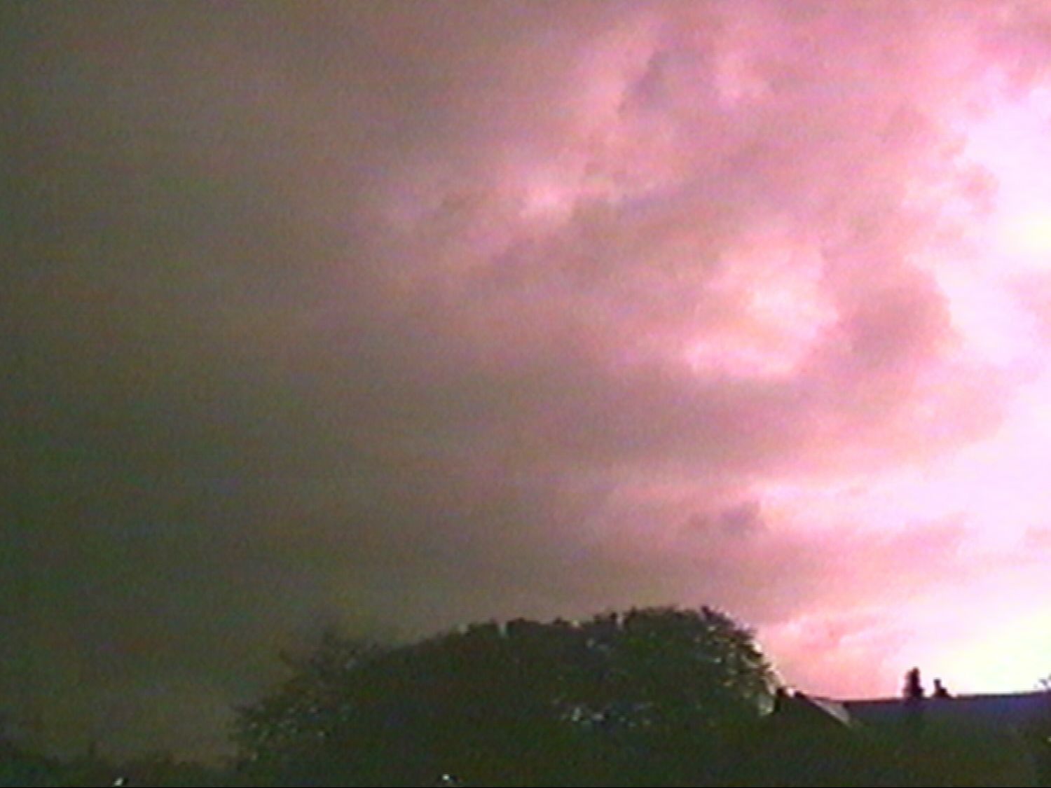
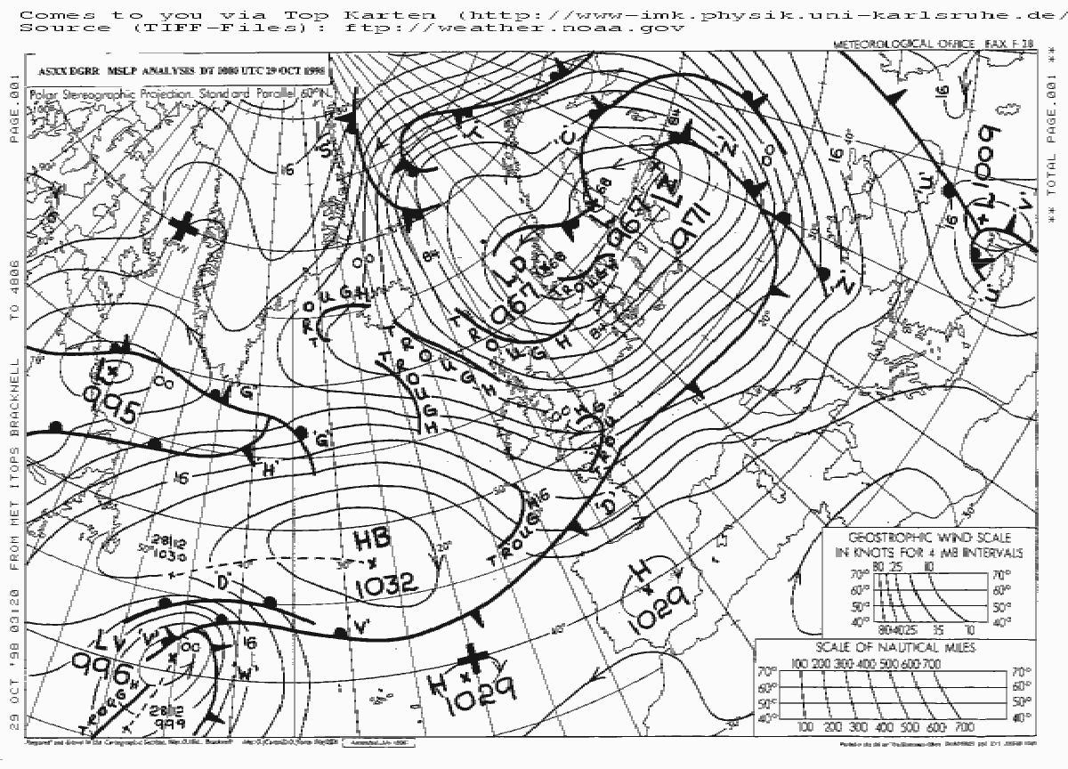
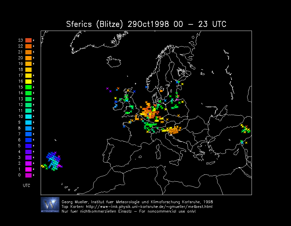
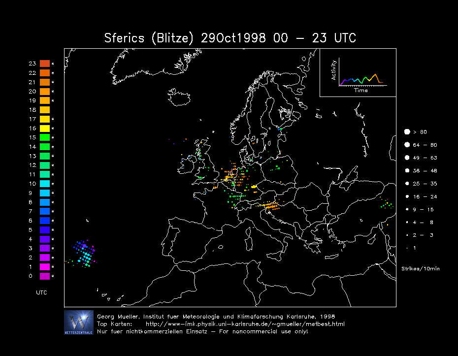
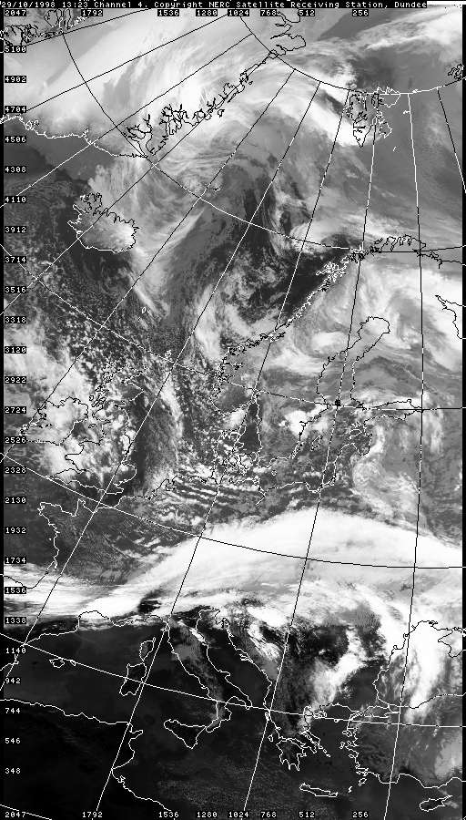
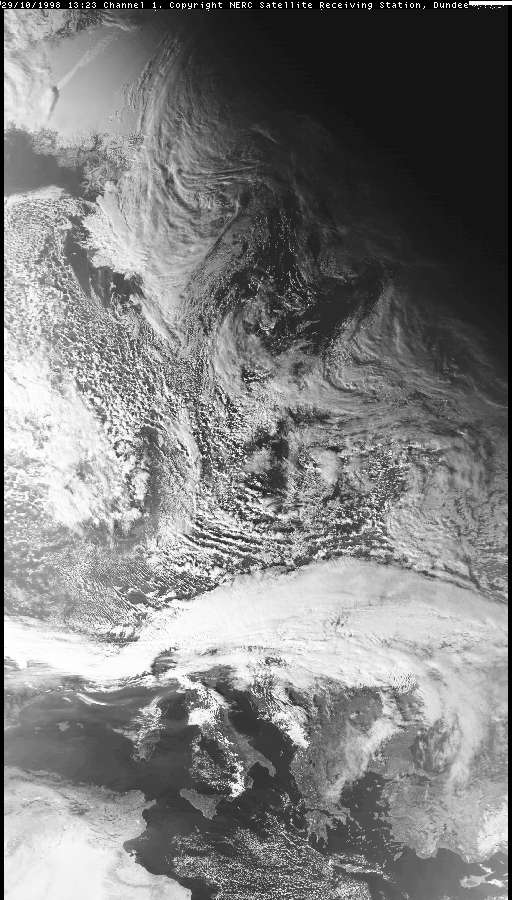
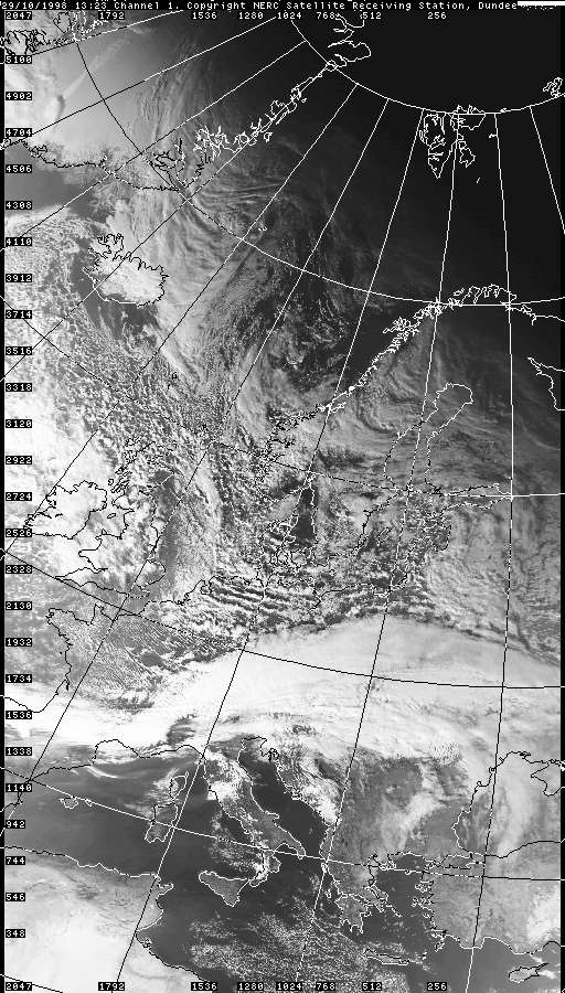
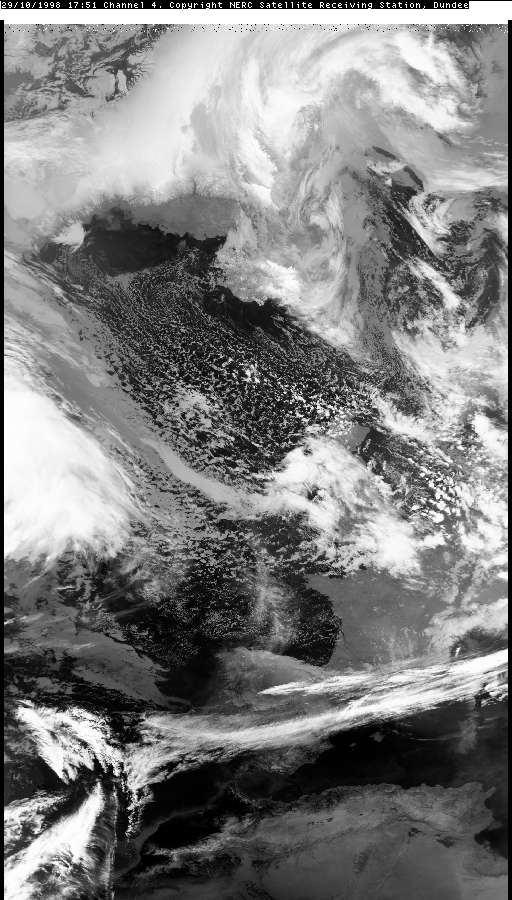
THUNDERSTORM T0021 Occurring later in the day after T0020 came this cell, possibly now enhanced by an approaching trough feature running through the polar maritime northwesterly flow as seen on satellite images below. It was quite distant to the north of Macclesfield giving a few I-C (In-Cloud) discharges that lit the cloud up from within. There was no rain present at Macclesfield at the time. The cloud base wasn’t obvious as it was still a good few miles north, however out of the blue a gigantic flash occurred and barely a few seconds later a tremendously loud and long thunder. Judging by the nature of the thunder, the shadows on the roof-tops and the fact the cell was a few miles north, this had to be a "Bolt From The Blue", a positive flash, that had jumped to the side of the cell and landing somewhere in Macclesfield. The storm proceeded to give a few more distant I-Cs as it passed over the Pennines.
The Intra-clouds:
|


© Mark Seltzer
www.electricsky.co.uk