
![]()
|
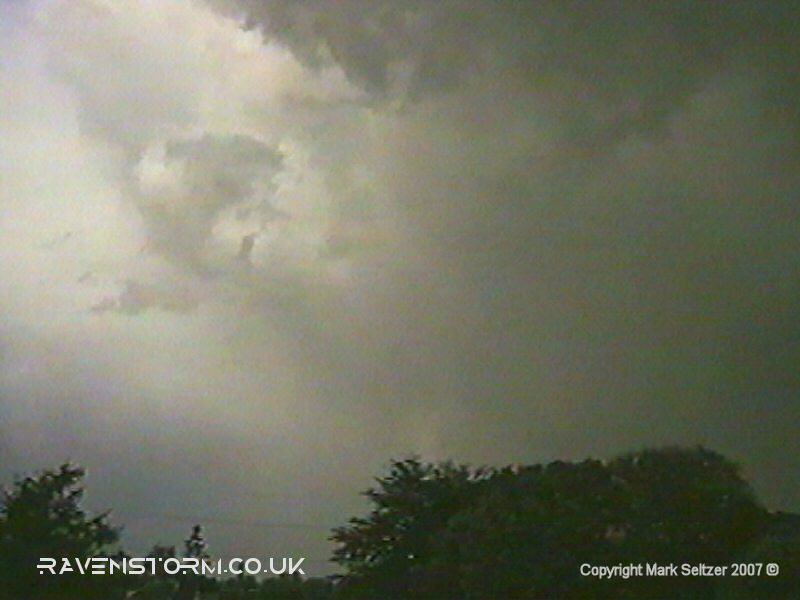
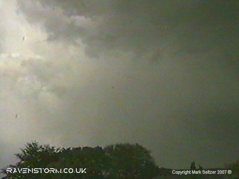
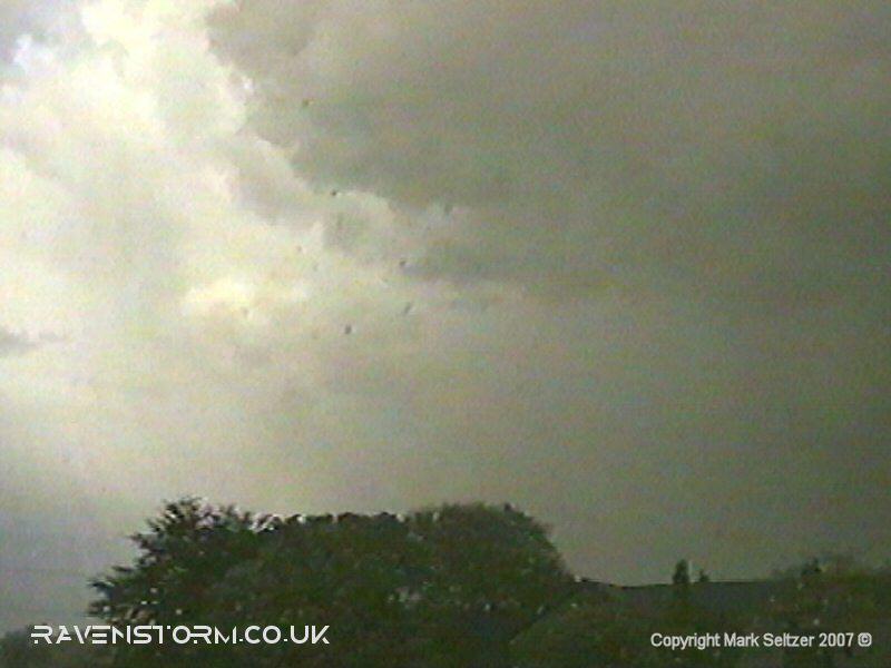
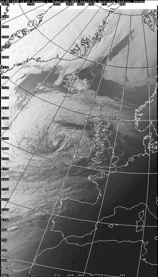
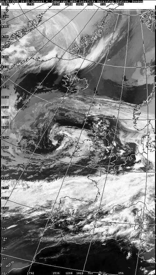
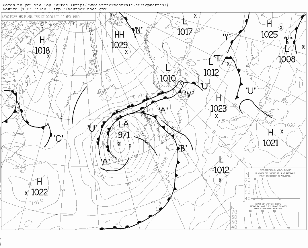
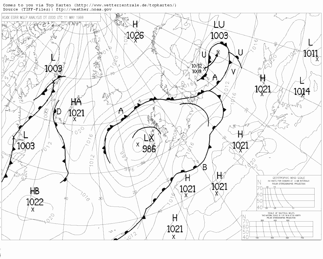
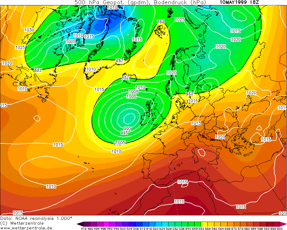
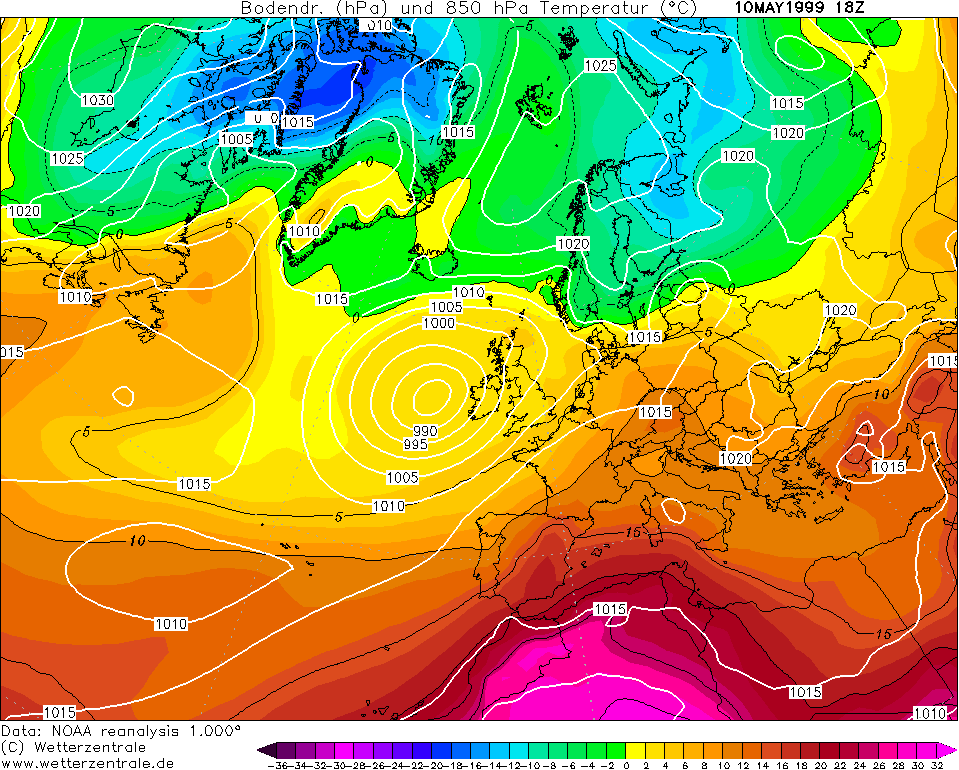
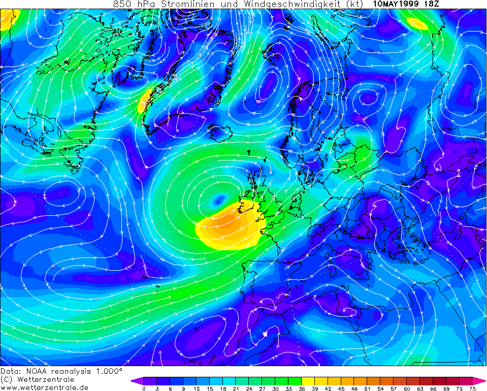
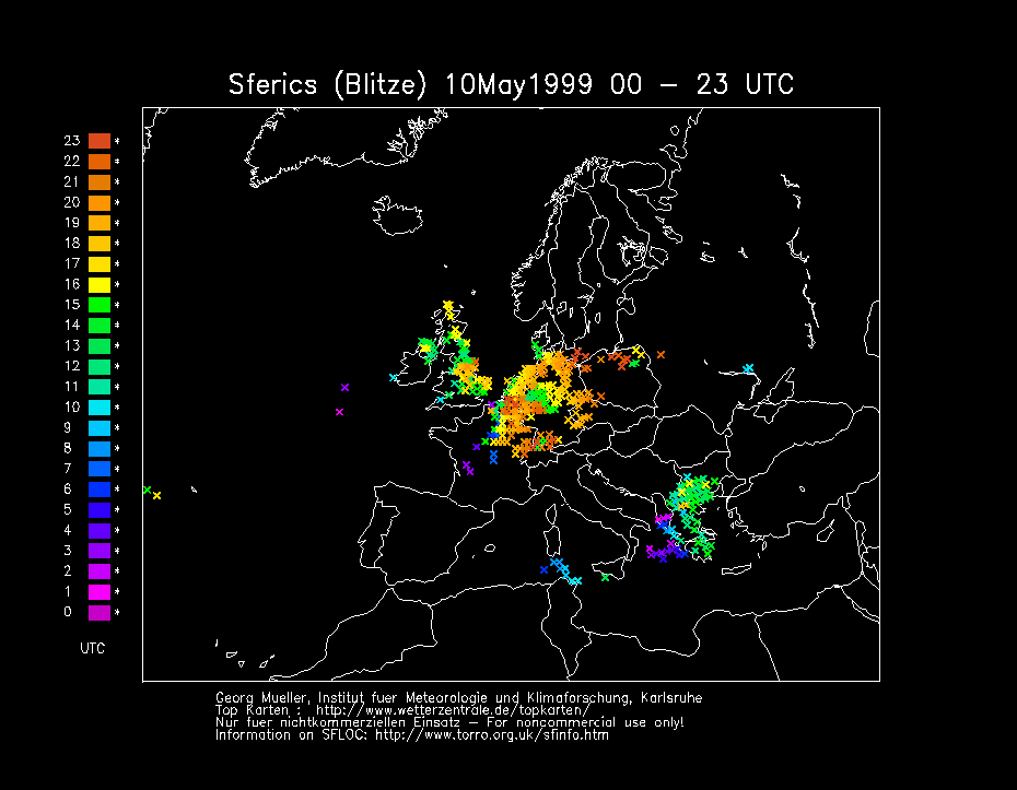
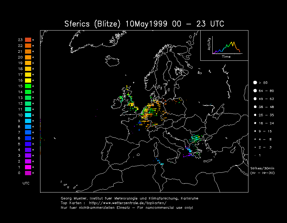
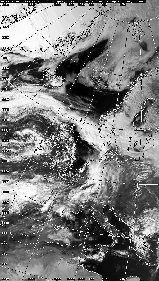
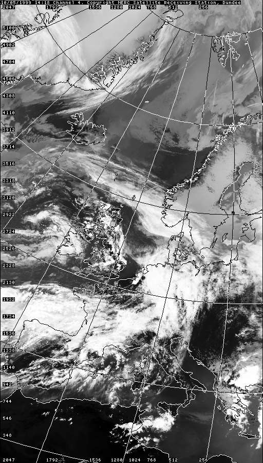
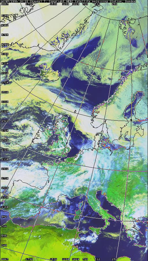
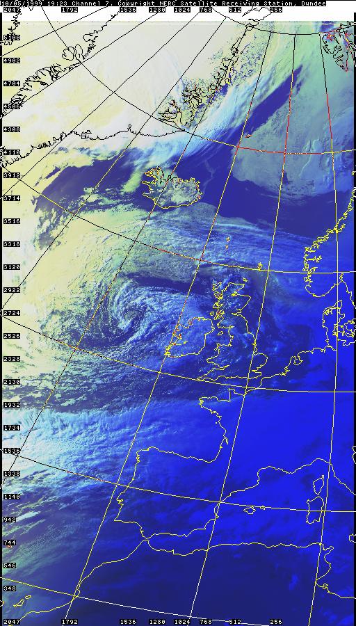
THUNDERSTORM T0023 This storm was a quickly developing cell, amongst a cluster of convectional cells that swept over rapidly during the day along a trough in a returning polar maritime airmass. Daytime heating. It gave about 7 thunders during it's passing and a decent small hail shower that lasted 2 minutes. The parent low pressure system was the same that produced T0022 a few days ago (initial front with possible plume). It was now very mature and hanging around in the Atlantic, with a decent track of cold air wrapping around the west side of it reaching the UK. Hence the decent instability. It was fairly windy which may have aided vertical wind shear.
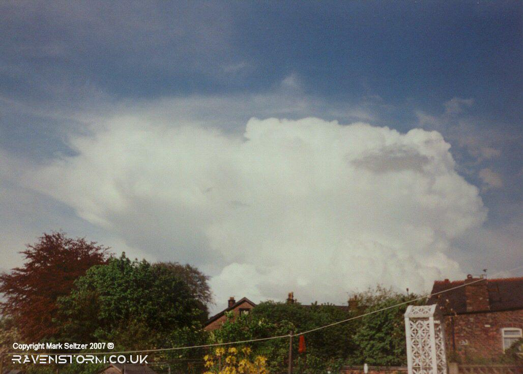
The anvil development as it left the area was classic, with strong nuclear-style mushrooming at the rear end of the storm which was very photogenic.
SFERICS (Credits) |


© Mark Seltzer
www.electricsky.co.uk