
![]()
|
THUNDERSTORM T0024
T0024
is the most photogenic thunderstorm I have filmed so far (1997-1999).
Not the loudest which still goes to T0011, but the best displays
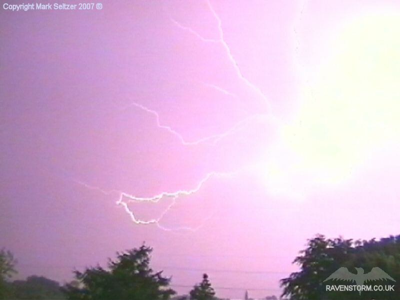
of C-C spider-lightning were captured.
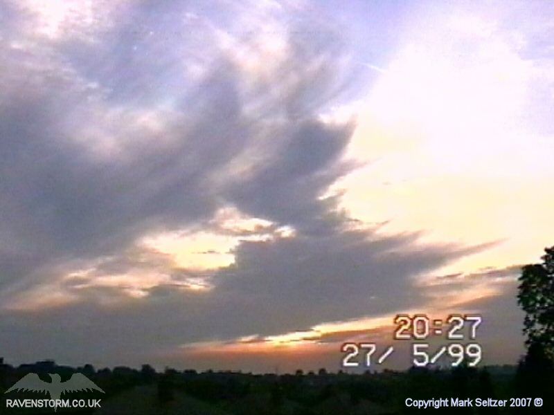
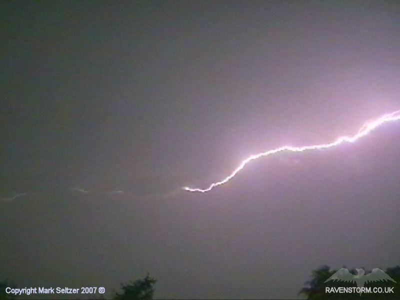
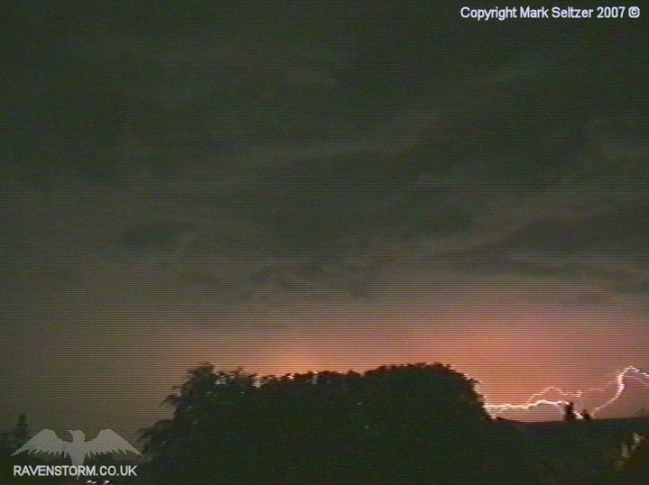
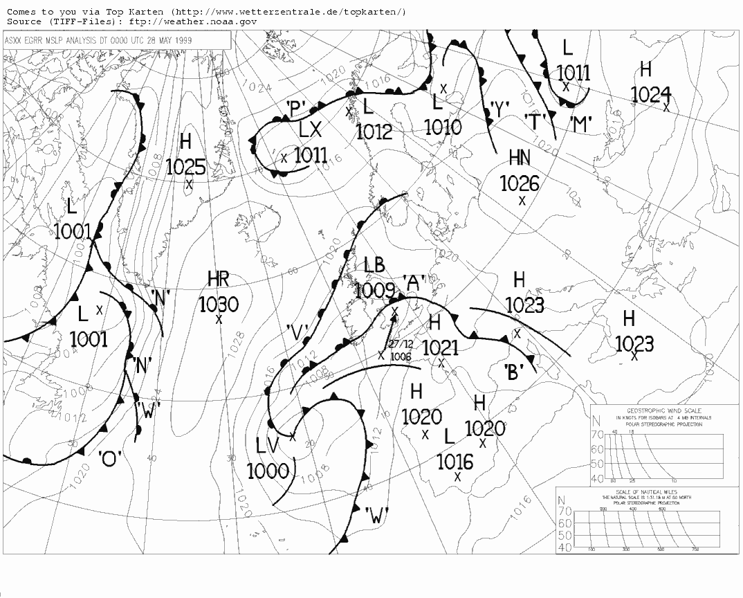
When it came closer, large Anvil-crawling C-Cs with many branches were becoming visible in the distance to the south west. On final approach the cell was producing much larger C-Cs crawling across the sky followed by a strange ambient silence to the thunder, due to how high up in the atmosphere they were occurring. There wasn't much precipitation as the entire cell passed over Macclesfield, and it was actually showing signs of weakening at one point. With no latest radar imagery to ascertain what was happening out there, I believed that curtains were starting to draw on this cell.
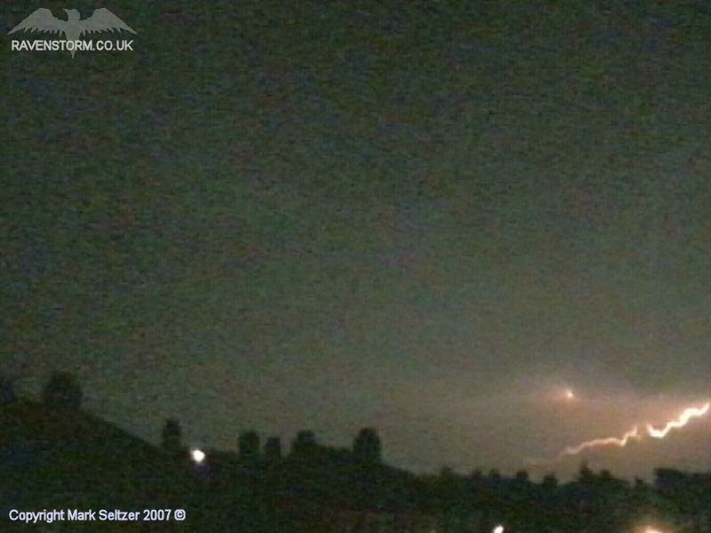
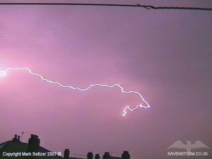
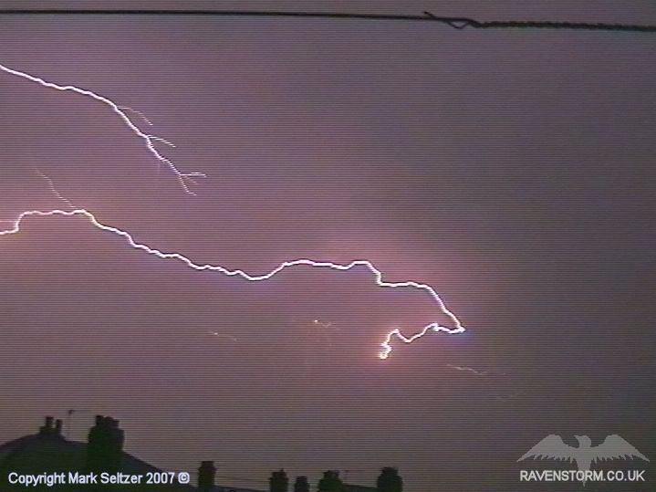
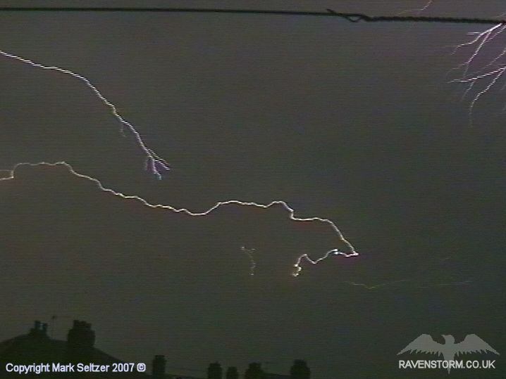
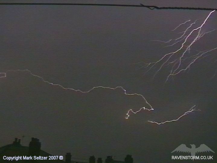
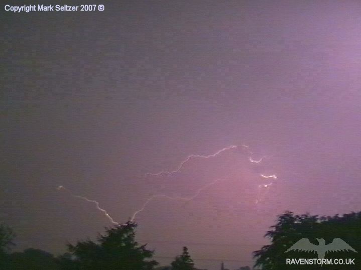
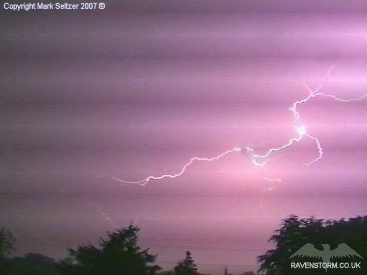
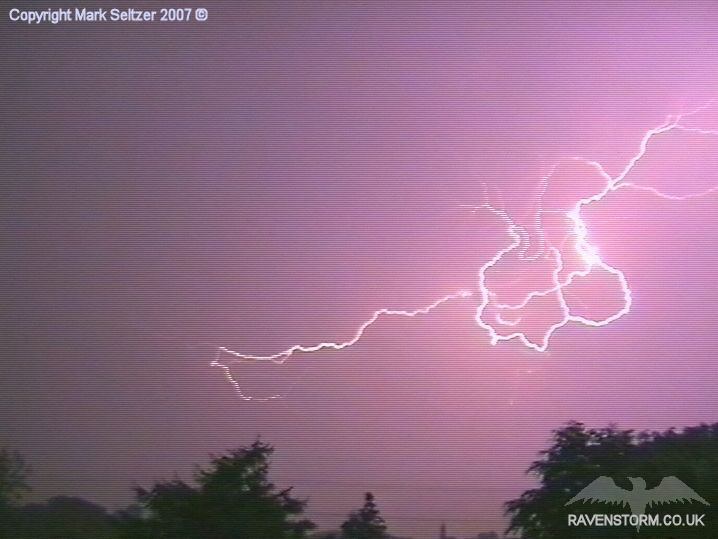
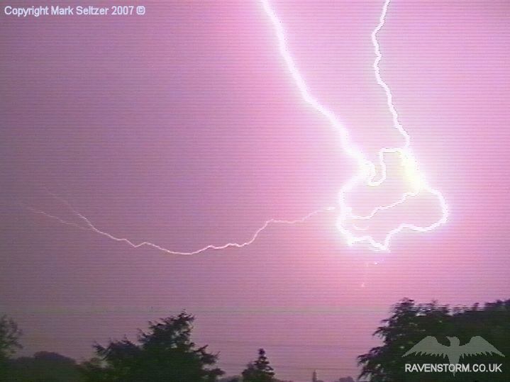
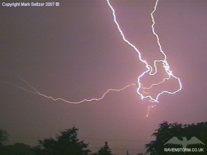
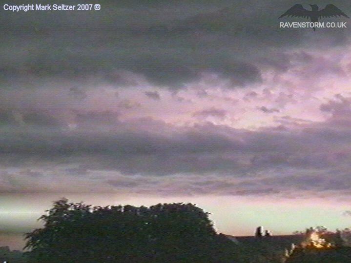
As the cell started to move away about half an hour later it started to show signs of reinvigorating, starting off with a large C-C spider-lightning with four separate streaks crawling cross the sky in different directions. Unfortunately only one of the streaks was caught on camera as it was so vast. Then shortly after there was a large multi-C-C spider discharge less than a mile NNE (shown above frame-by-frame). Probably one of my best captures to date. The thunder wasn't as loud as I was expecting, more crackly than explosive, likely as the charge was distributed evenly across multiple branches (low-amp).
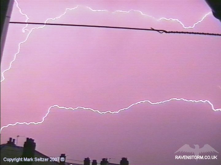
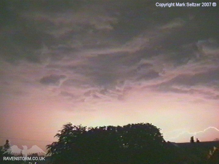
As the storm, clearly linear in nature
(evidenced from the grabs above), passed over the Pennines the discharge
rates increased again and the clouds lit up from base-level giving away the
structure. A classic bubbly, linear elevated cloud base is shown at the back
edge of the storm, likely where the updraught feed is, with the storm
forward-sloping with the vertical wind shear expected from a dynamic system.
This is why the Anvil Crawlers preceded most of the rain and normal C-C
lightning. Throughout the storm, I think I only saw one distant C-G near the
beginning.
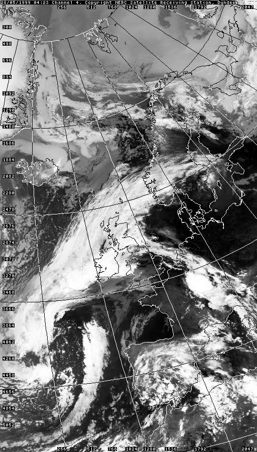
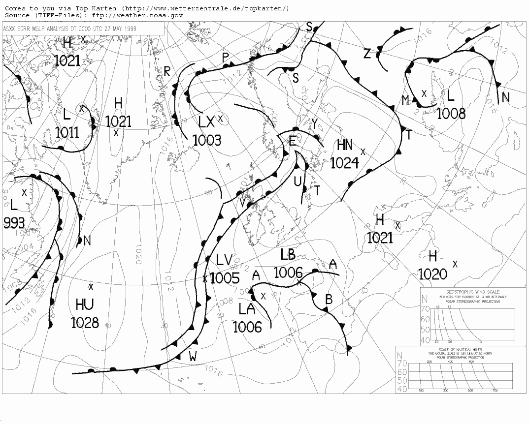
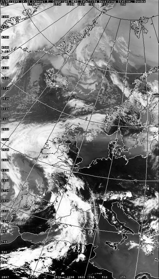
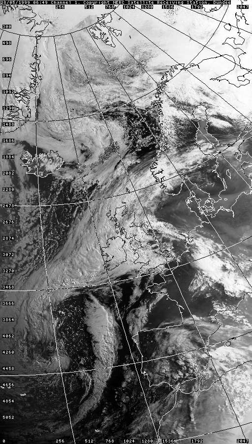
VISIBLE 28.05.1999 06:49
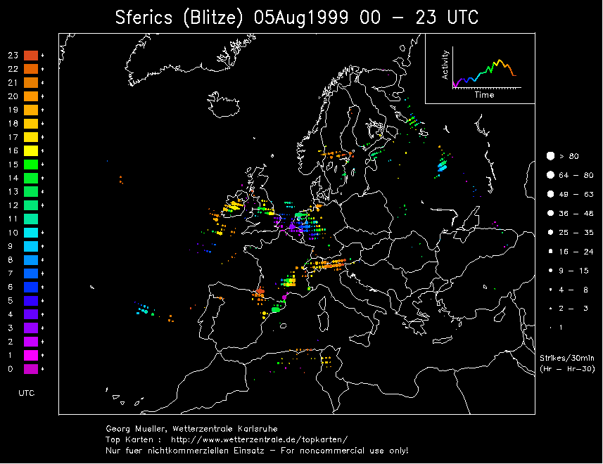
SFERICS (Credits) |


2.gif)
2.gif)
3.gif)
3.gif)
© Mark Seltzer
www.electricsky.co.uk