
![]()
|
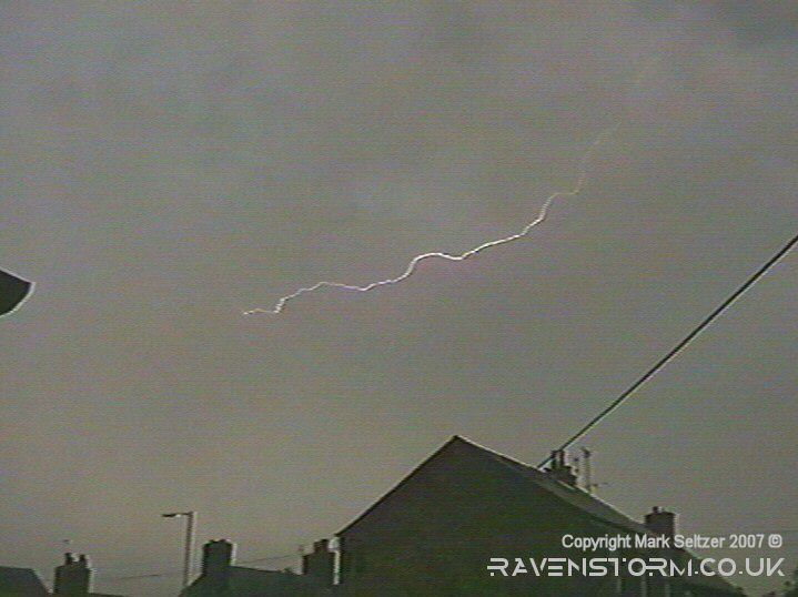
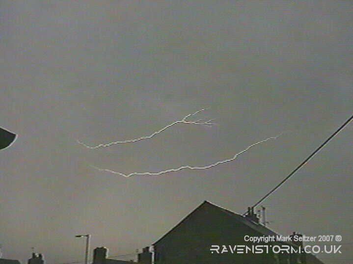
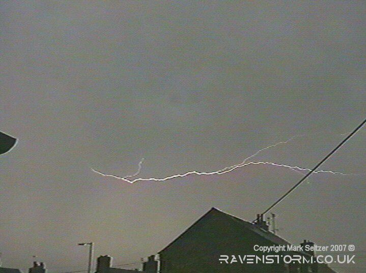
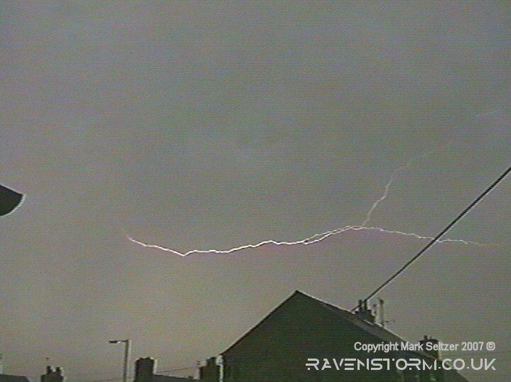
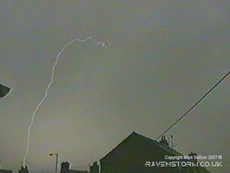
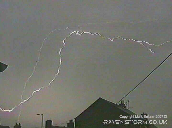
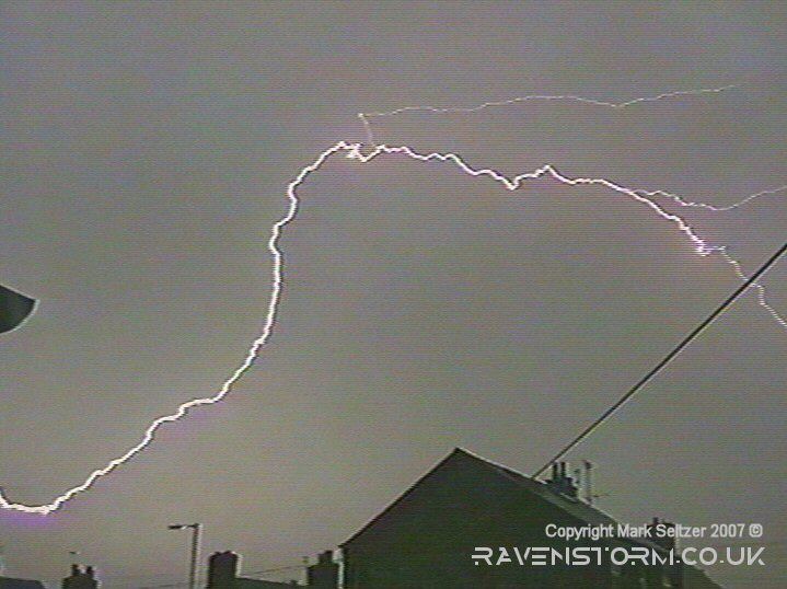
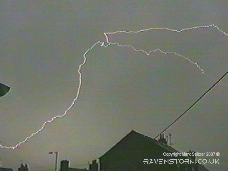
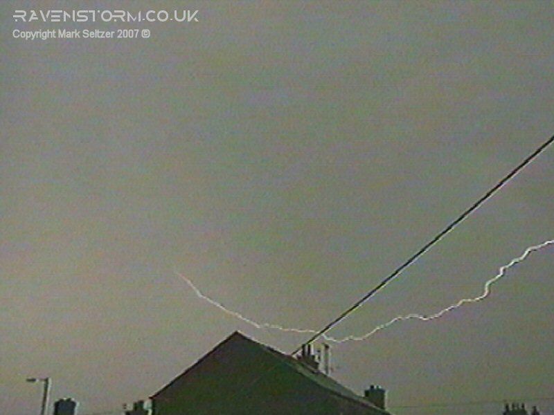
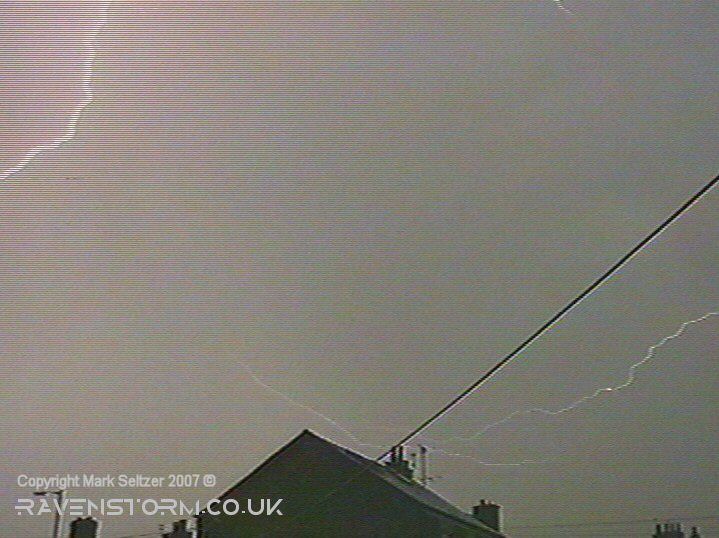
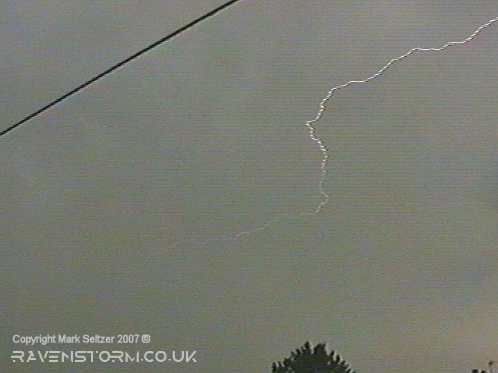
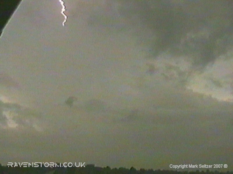
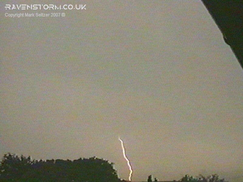
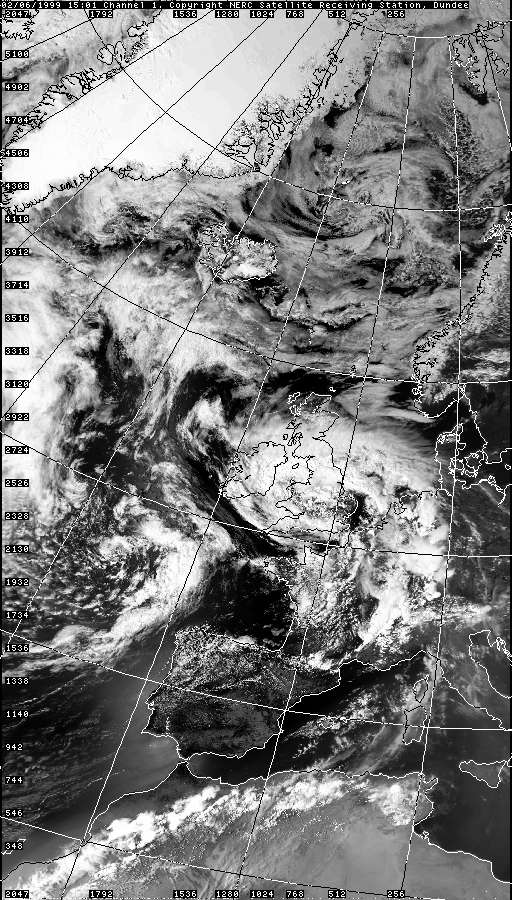
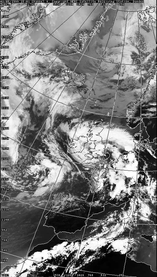
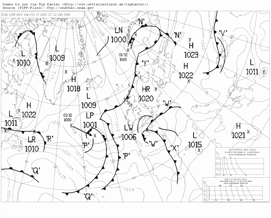
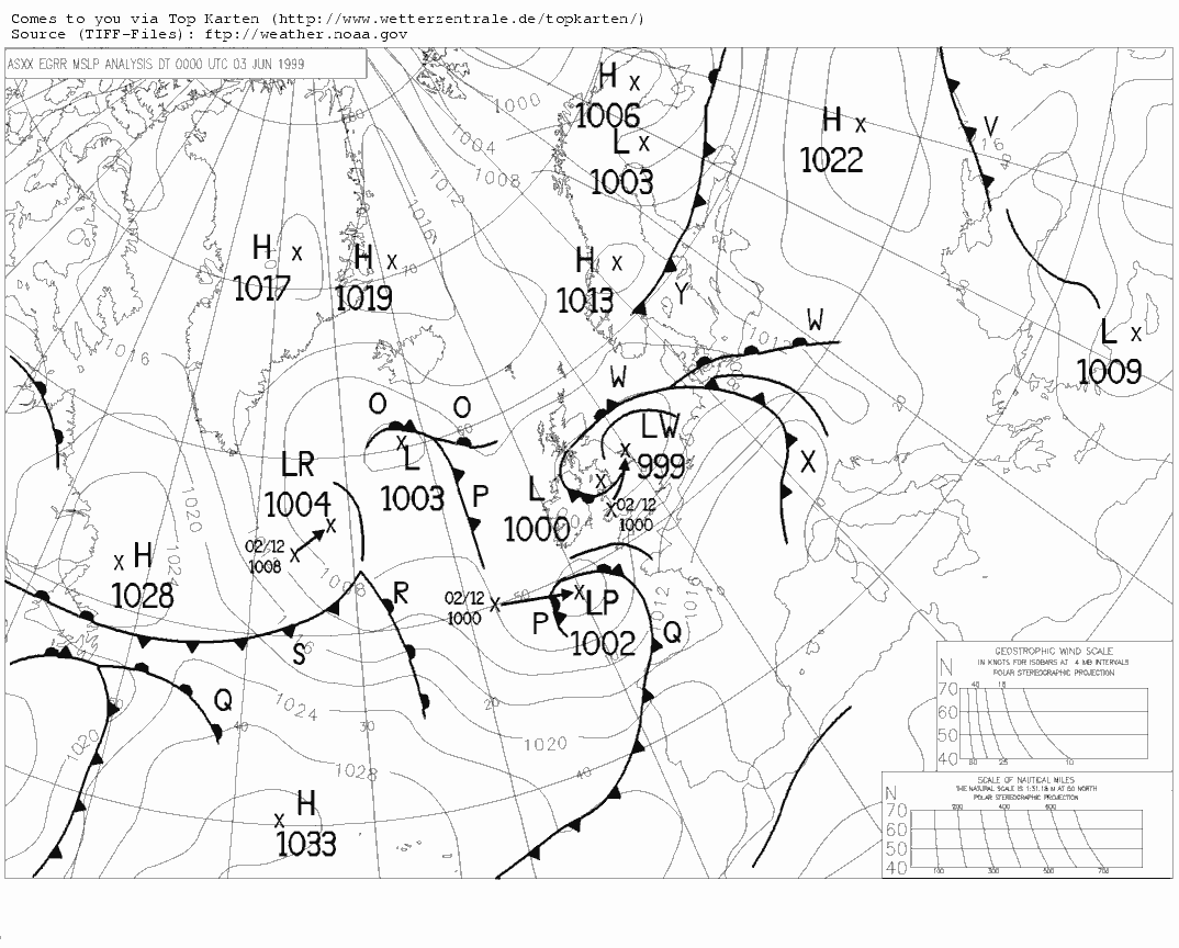
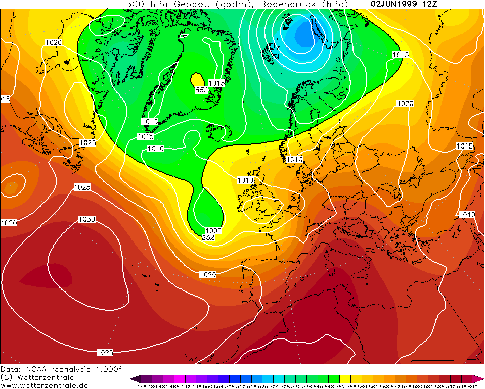
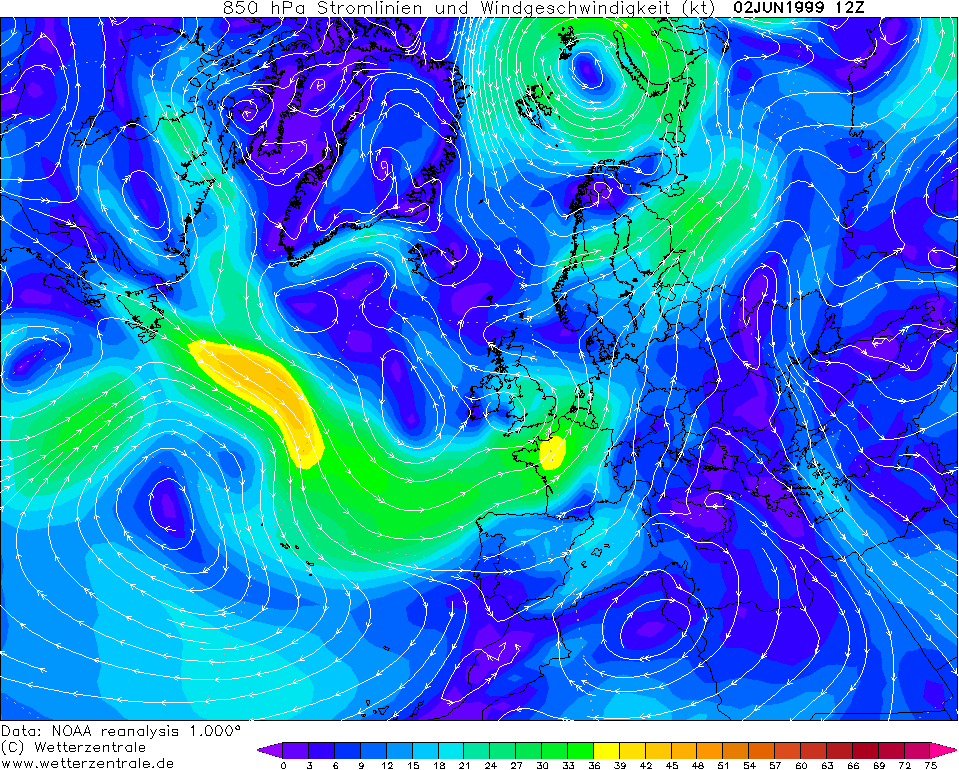
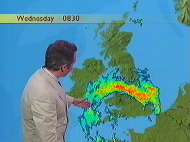
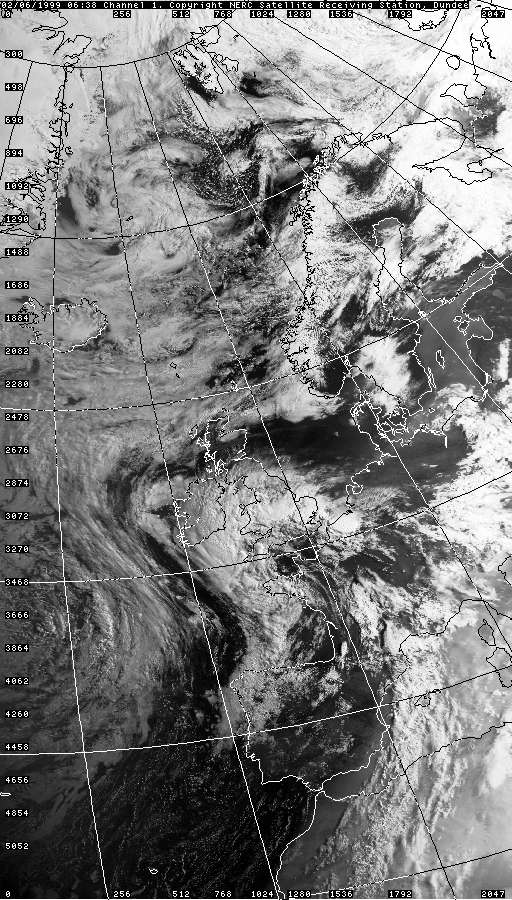
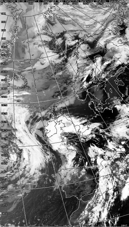
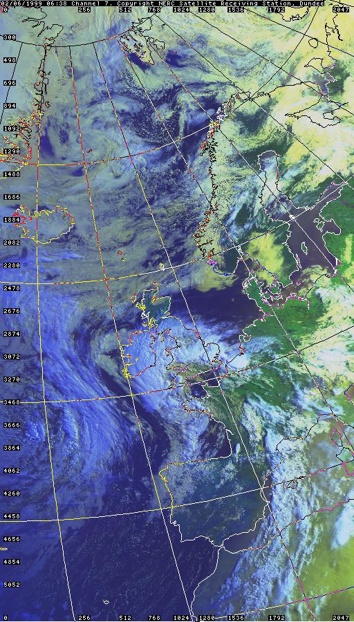
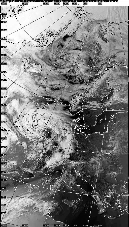
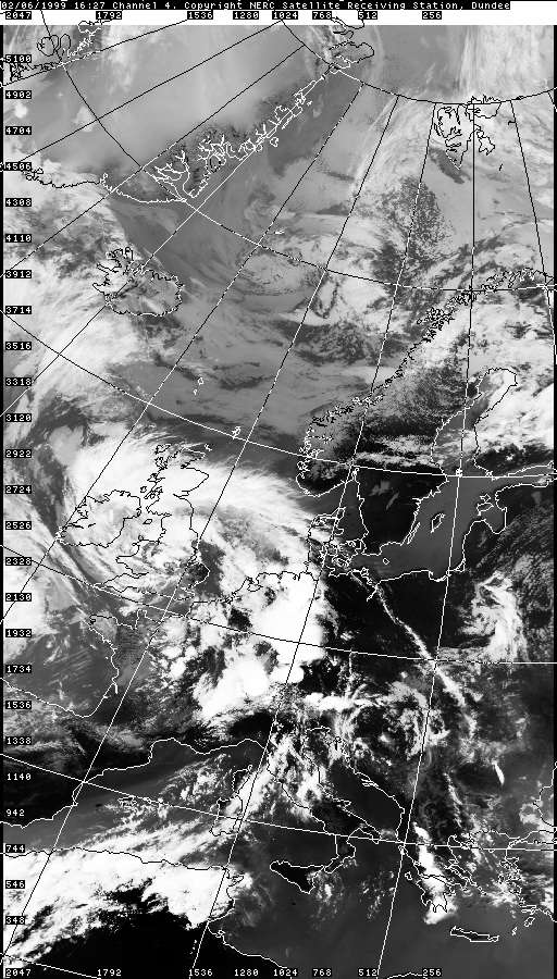
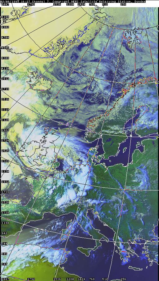
THUNDERSTORM T0025 This storm was associated with a Spanish Plume. The first thrust of the plume went through during the morning in a more dynamic frontal nature, likely with embedded thunderstorms (but not sure if thunder was heard in Macclesfield). Heathrow saw 44mm in just 5 hours between 2am and 7am in the morning, where the June average is only 51mm! This complex frontal wave then cleared readily, assumingly with the 850hPa plume itself. However, looking at the charts below, overlaying the 12Z 850hPa temperature and 500hPa geopotential height gives away the fact the upper trough had actually overrun the bulk of the 850hPa plume and was now sitting on top of it. This meant the plume was at a maximum, unstable to surface heating, but was perhaps no longer dynamically forced (like with the preceding classical fronts). The low that had developed was now technically a warm-cored low. By the middle of the day, the instability was indeed released with the smallest amount of daytime heating, and a multitude of cells initiated over the south and Midlands and trundled northwards towards my location. This cell which approached Macclesfield had most of it's presence over the Pennines, with its west side positioned over us. It gave some brilliant C-Cs as it moved in before it dissipated in thundery activity. The rain wasn't very heavy, but perhaps because the core of the storm wasn't overhead. It was rather windy though and the noise pollution from the nearby main road ruined the ambience of the footage somewhat.
As the storm dissipated it gave two distant C-Gs over the Pennines and then fell silent.
Sferic charts were unavailable at the time |


© Mark Seltzer
www.electricsky.co.uk