
![]()
|
THUNDERSTORM T0027
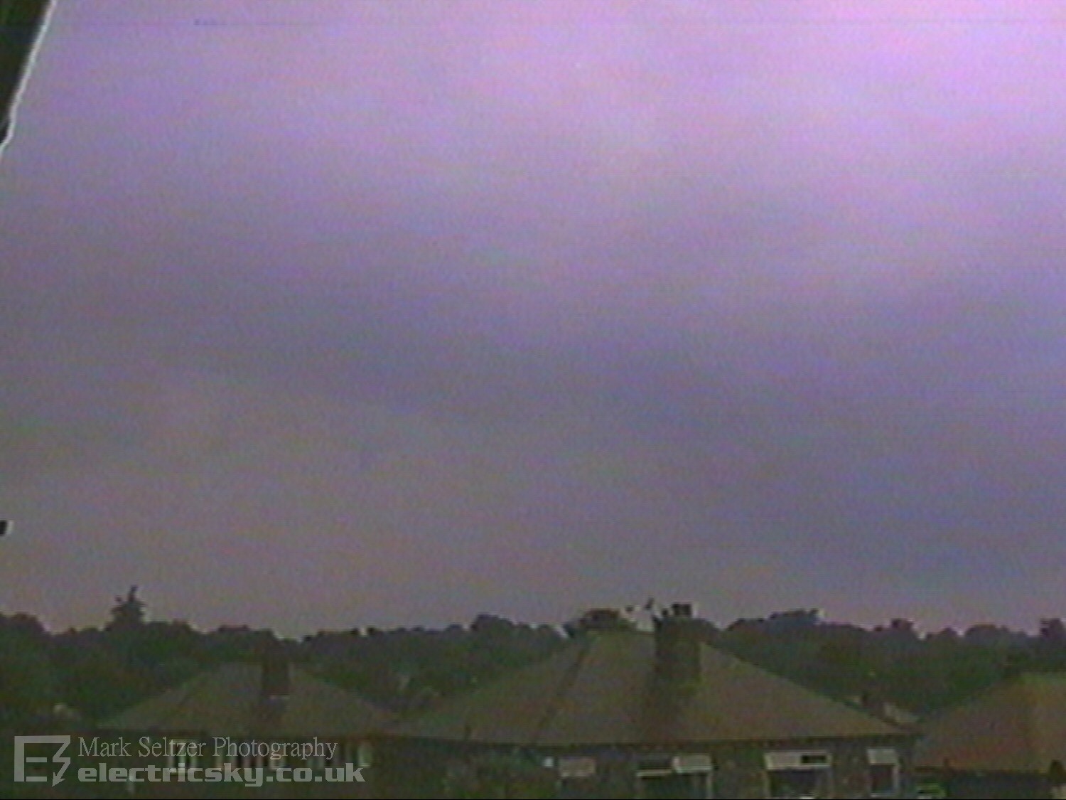
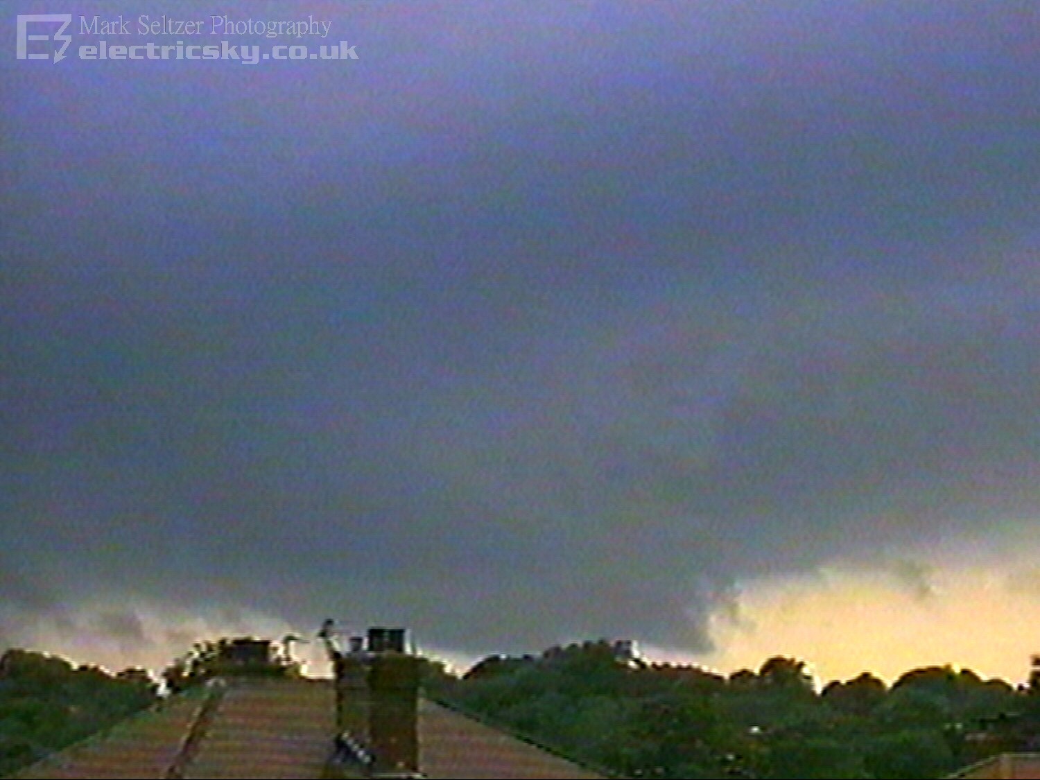
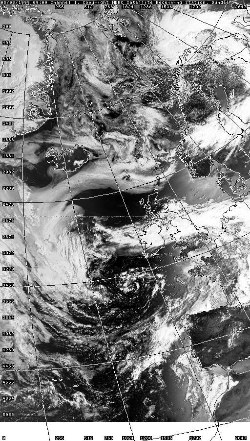
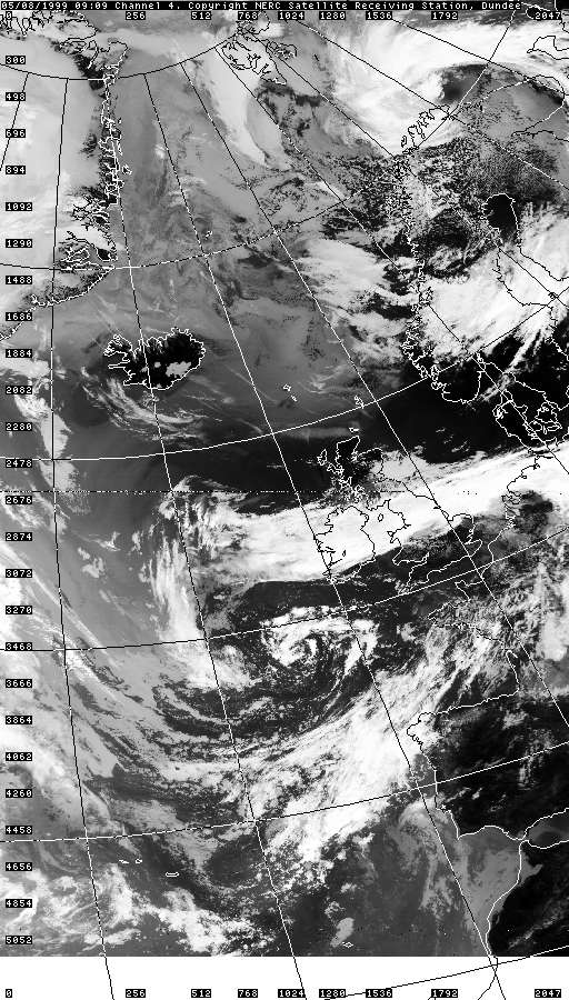
14:08 - T0027 Part 1 - Electrified Multicell on Cold Front
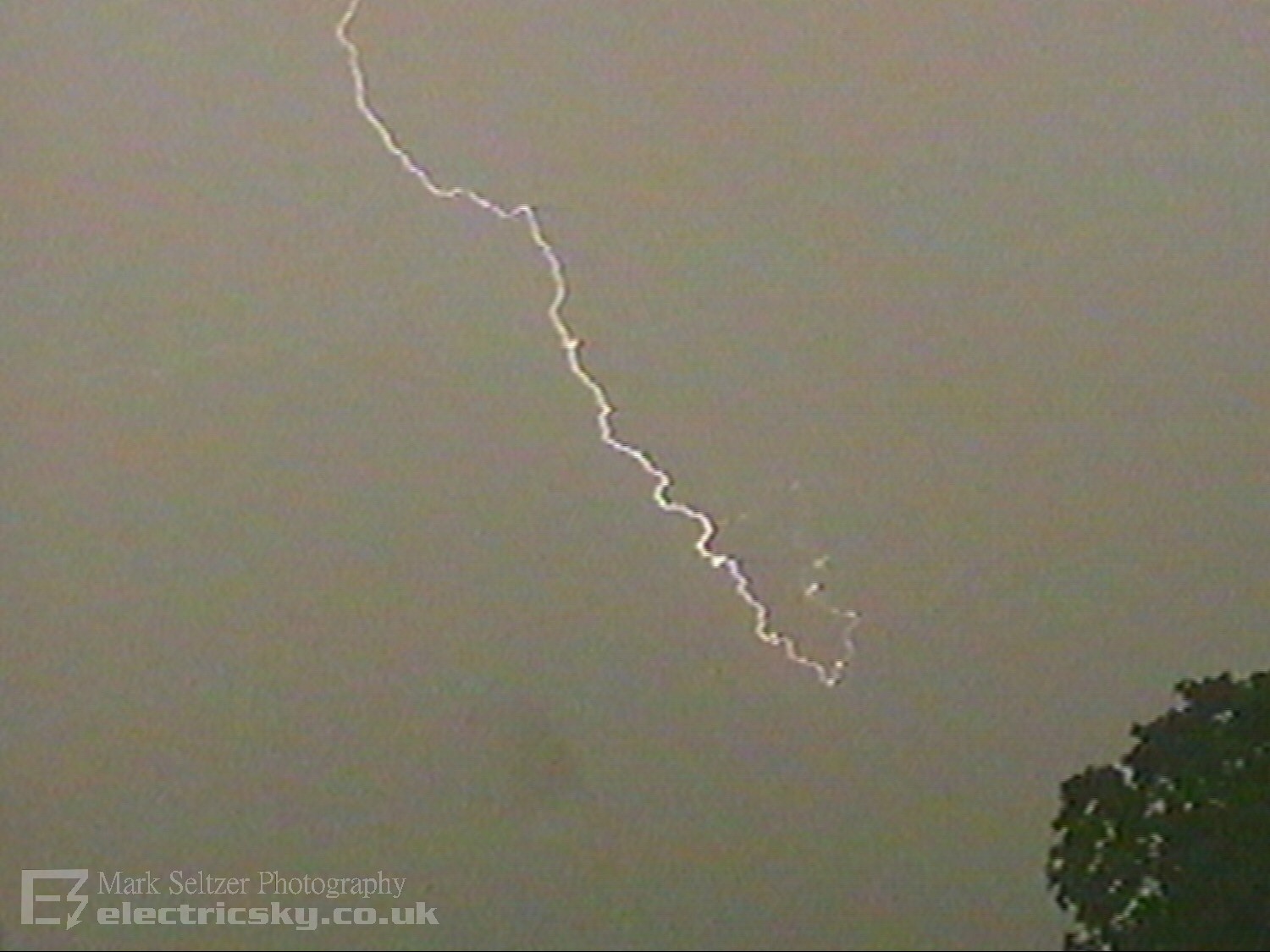
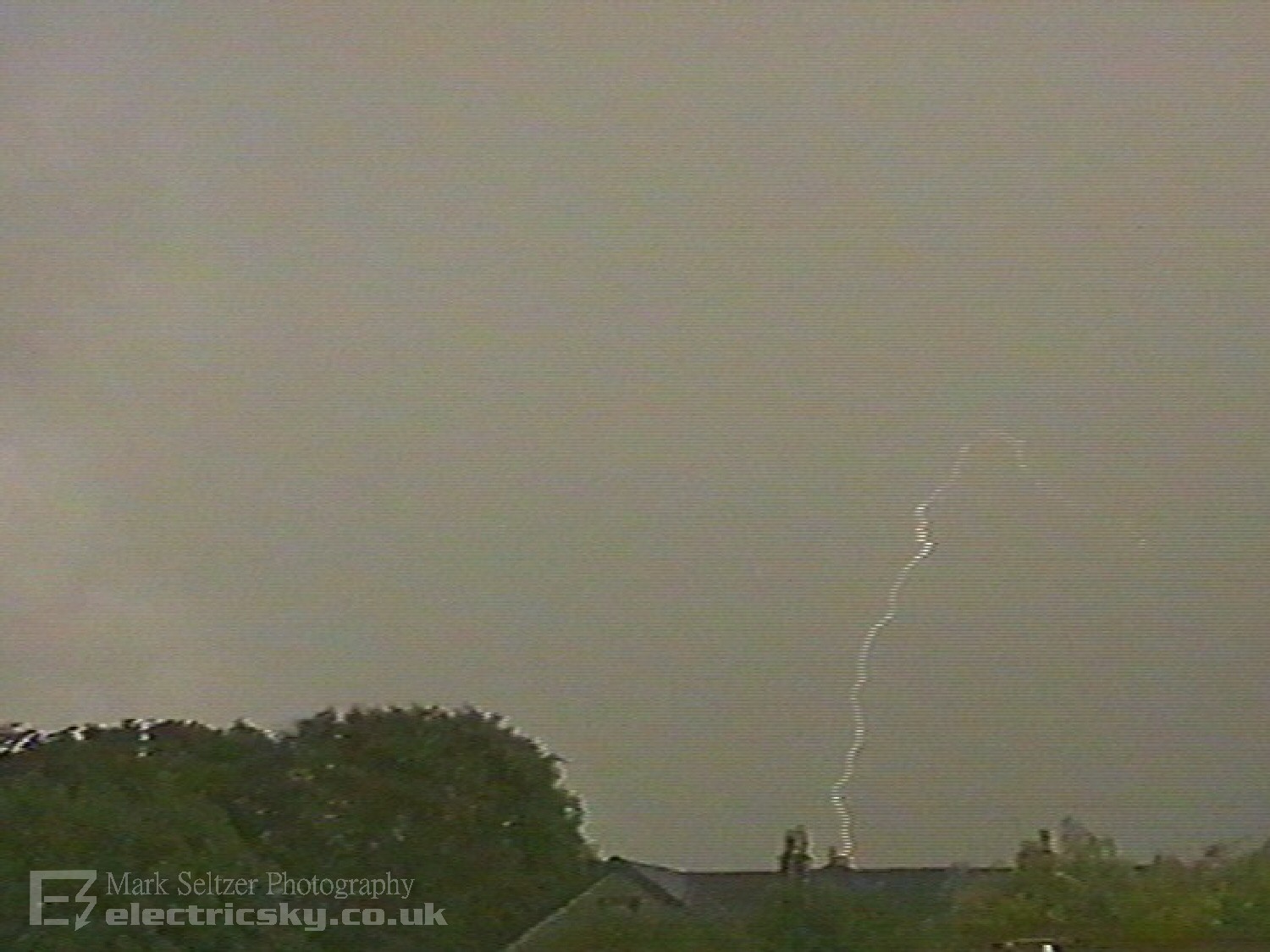
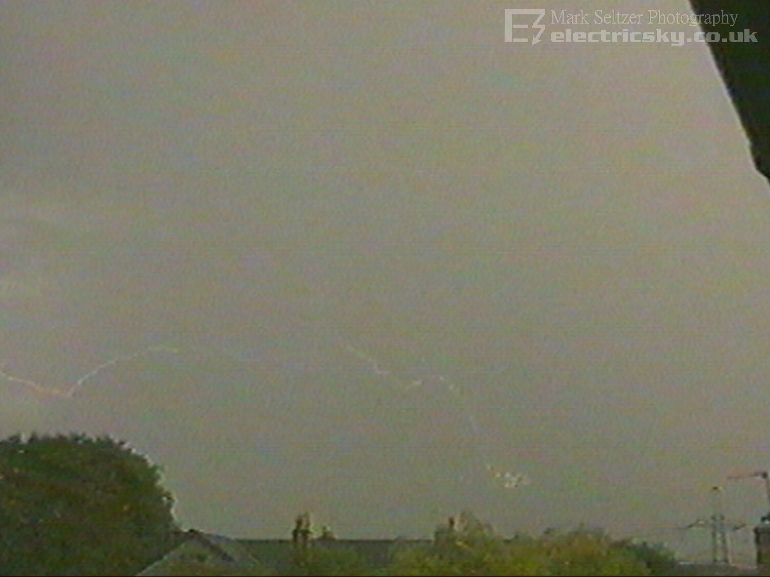
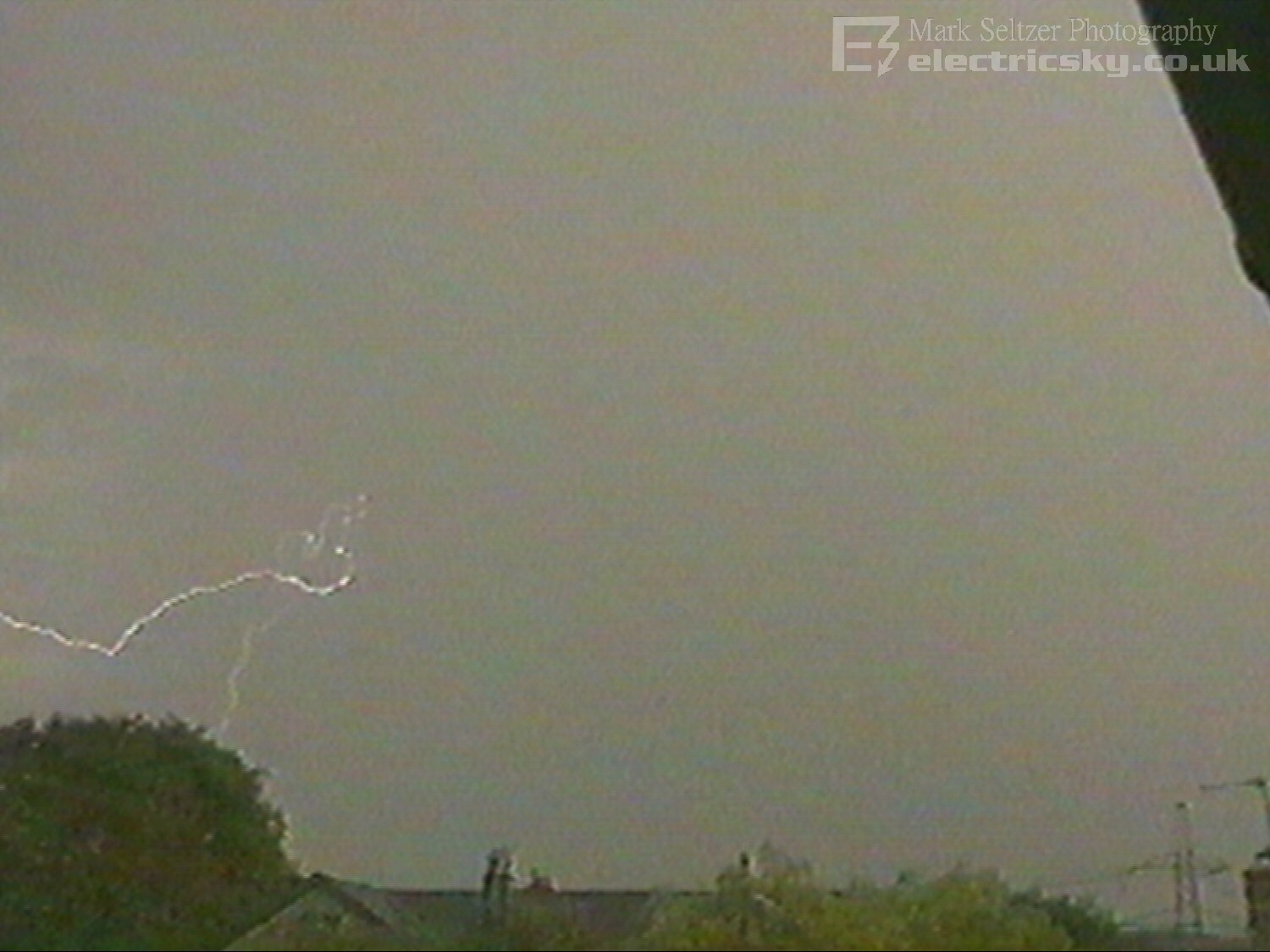
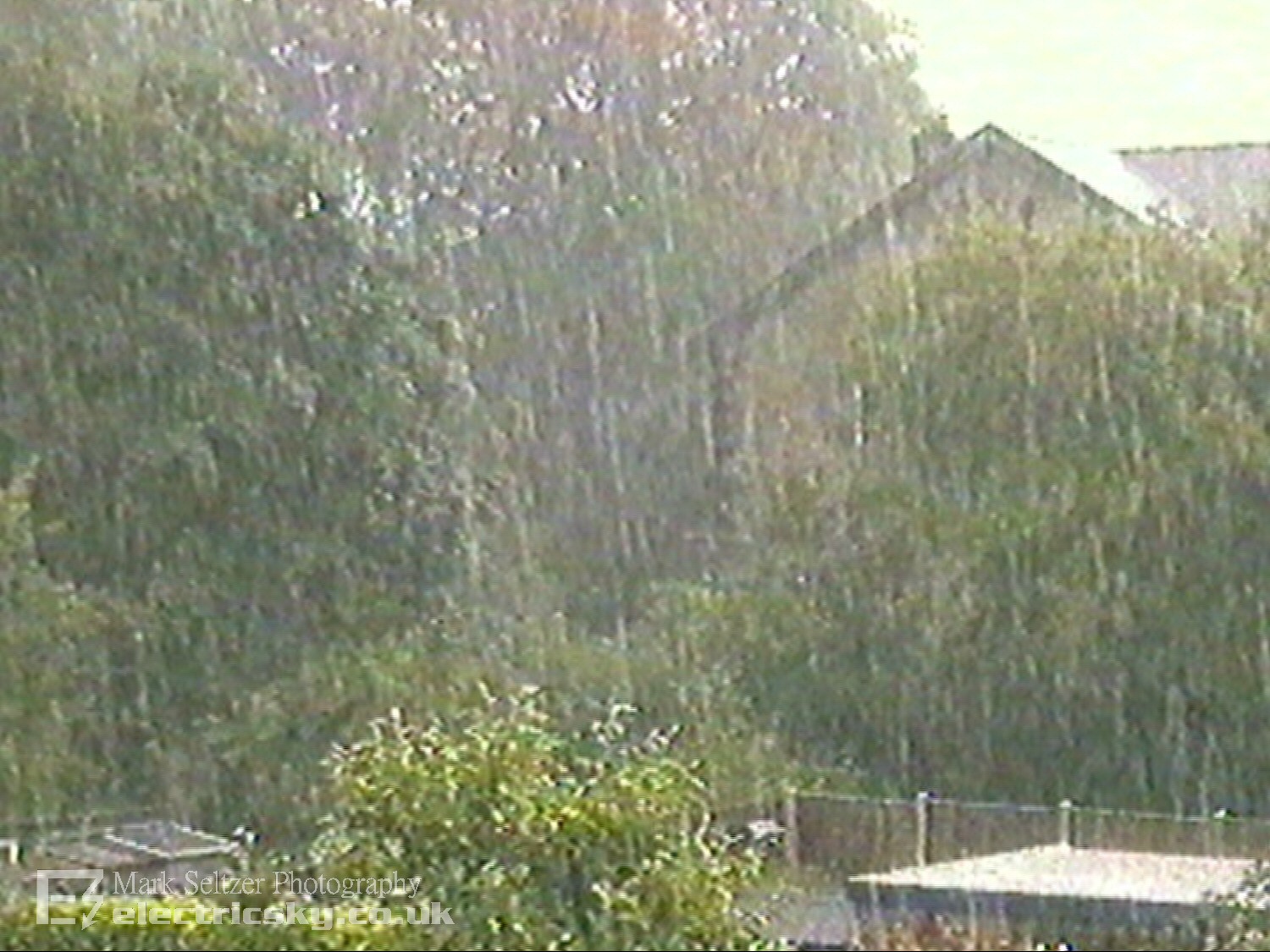
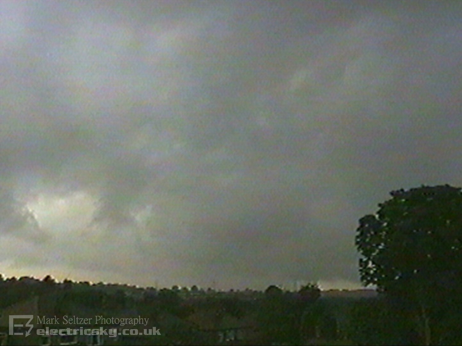
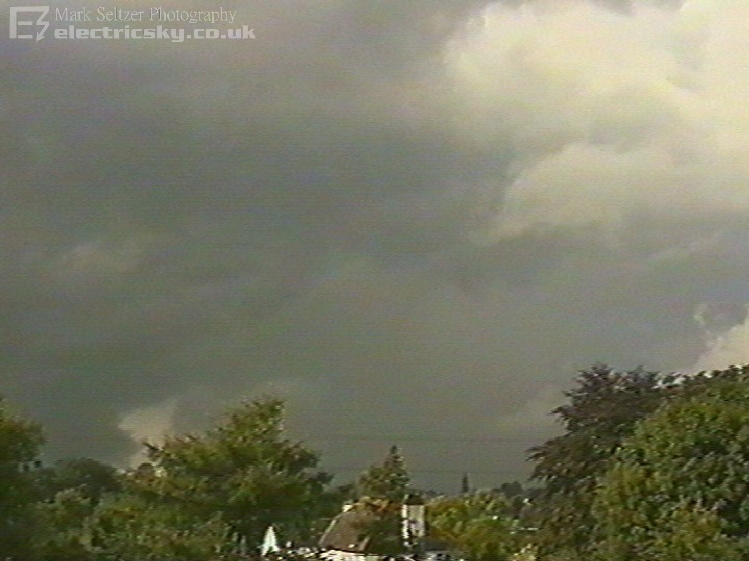
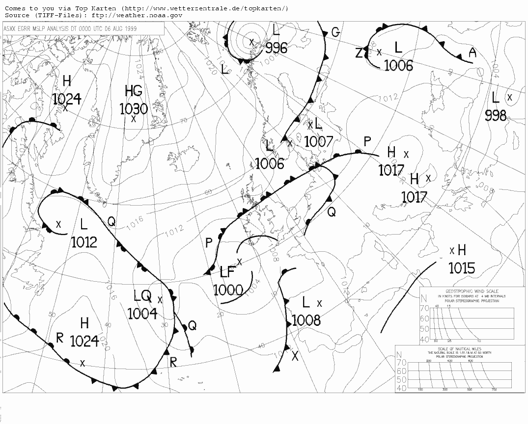
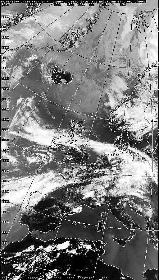
The cell that passed over Macclesfield gave some low-amp C-C overhead and C-G over the Pennines in the distance to the east. It cleared up allowing a view of a frontal anvil overhang spanning the entire northern sky. Following this, a few non-thundery showers (with weak anvils) developed to the southwest and passed overhead, giving further torrential downpours.
It was
clear there was cold advection as a timelapse of these follow-up cells showed
the boundary layer wind was westerly, but mid-level was southwesterly, and
high level was still south to southeasterly. This is important to note for
the wind shear environment during what was to follow a couple
of hours later...
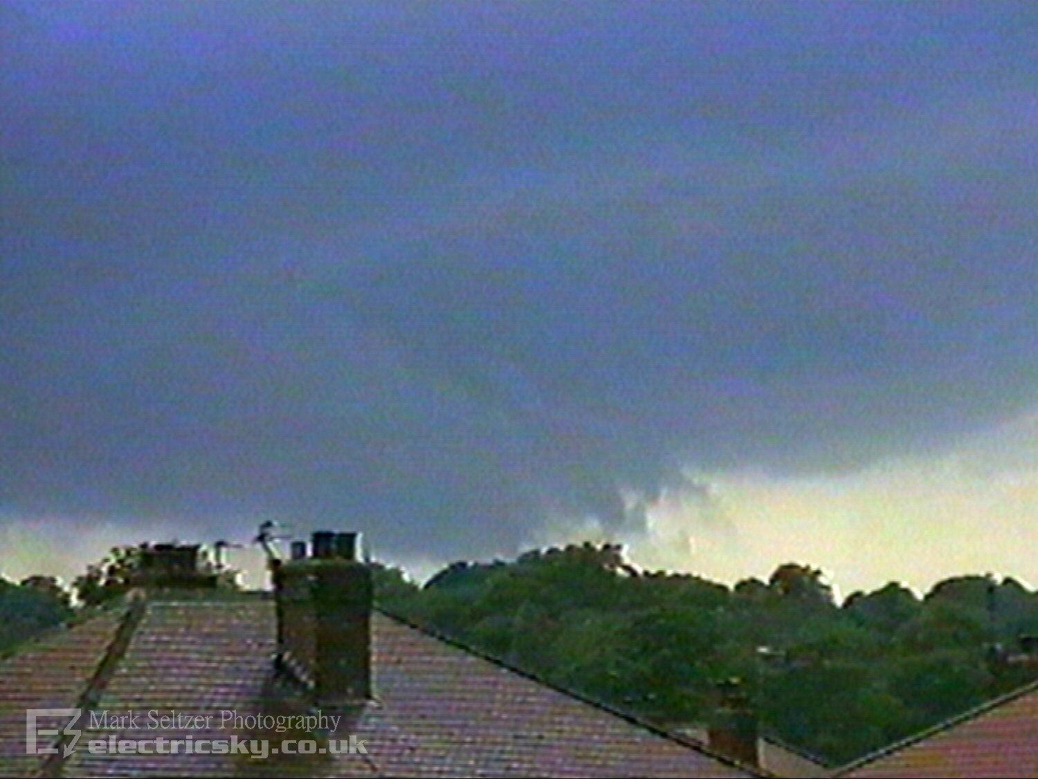
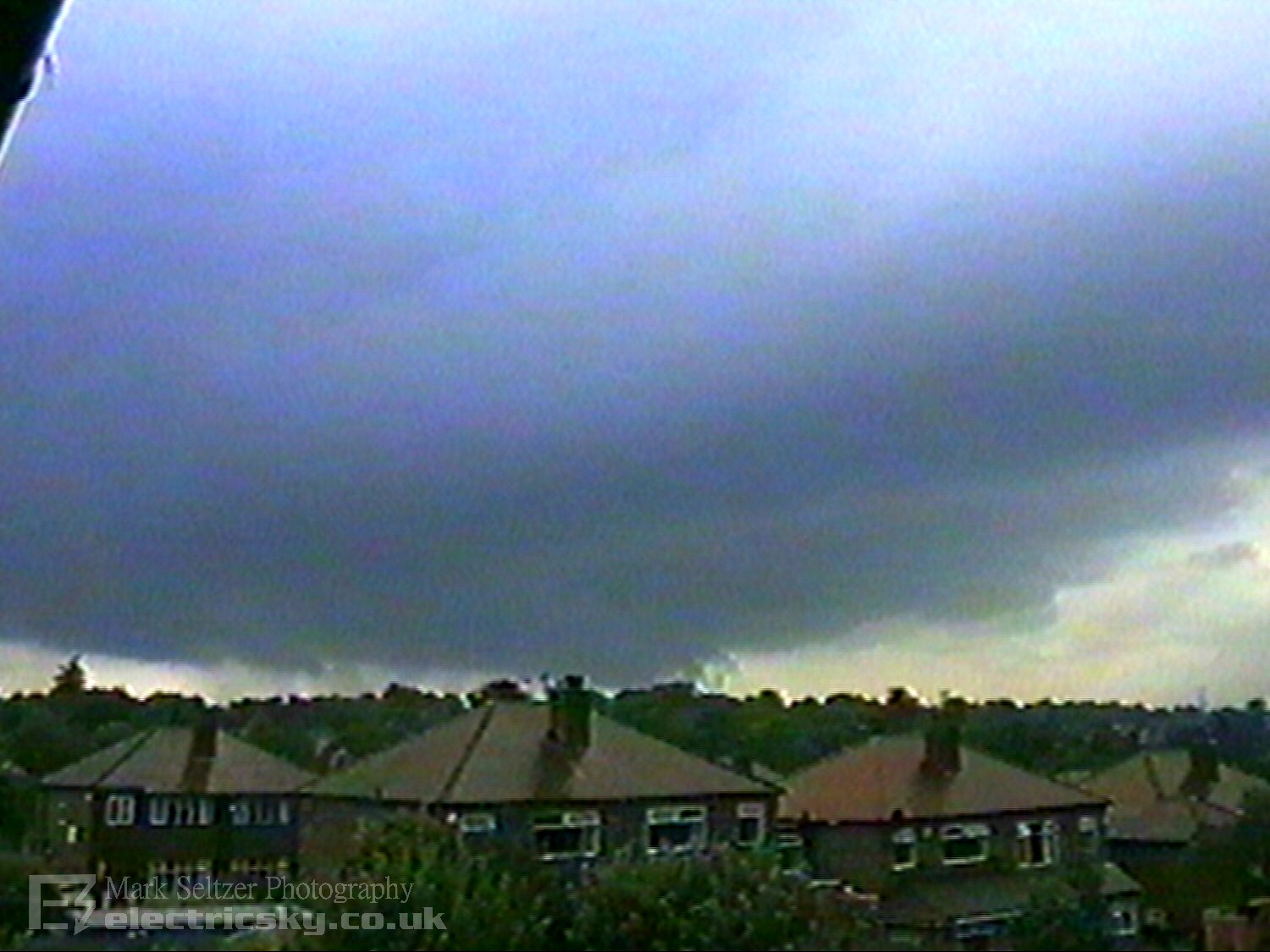
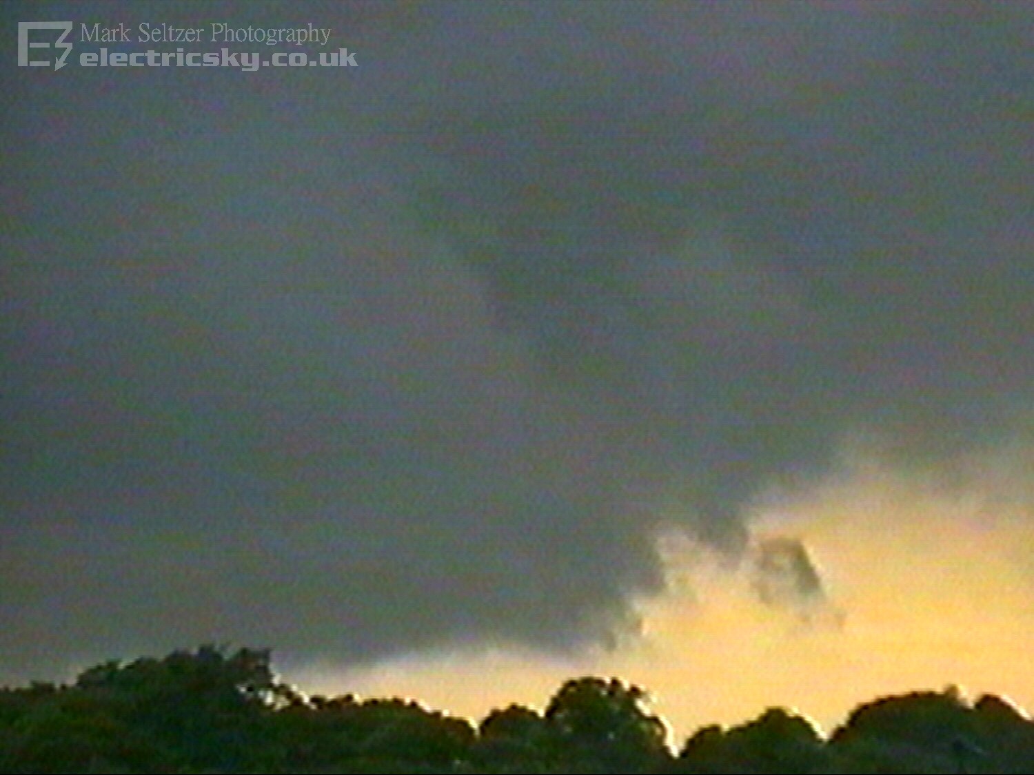
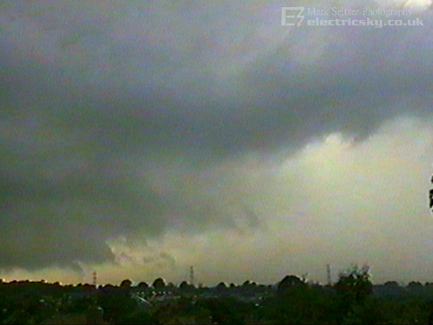
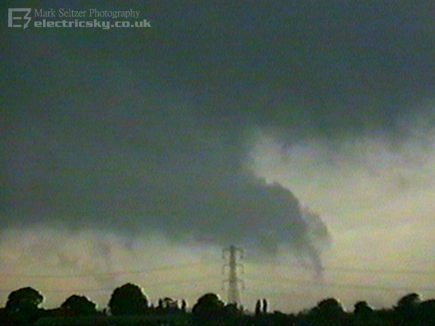
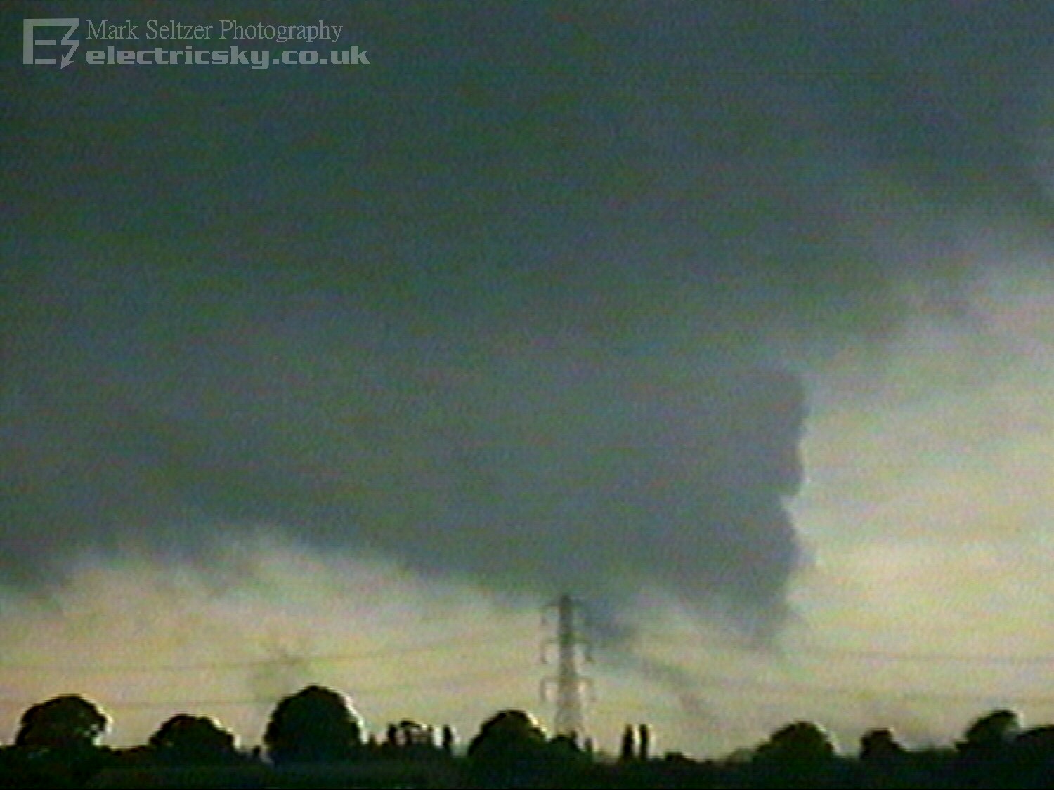
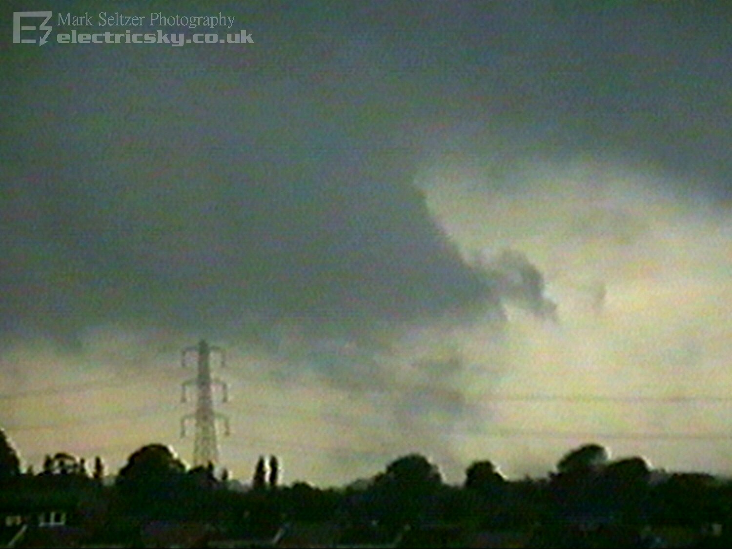
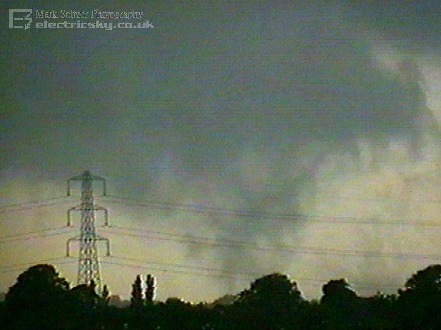
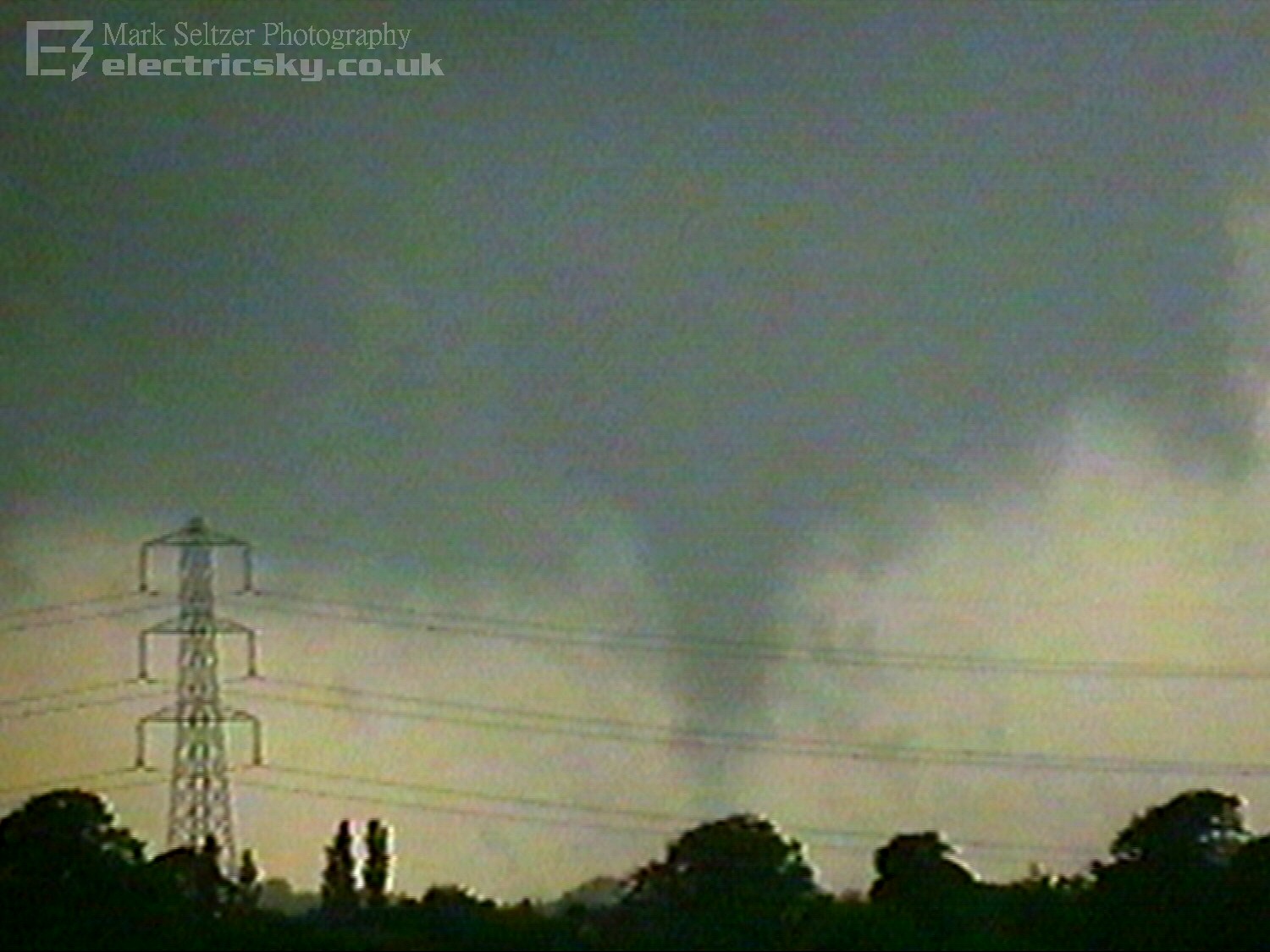
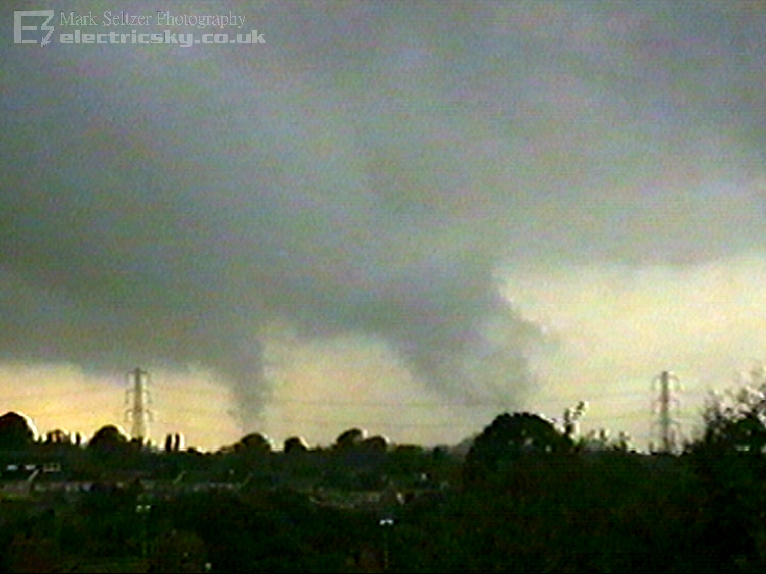
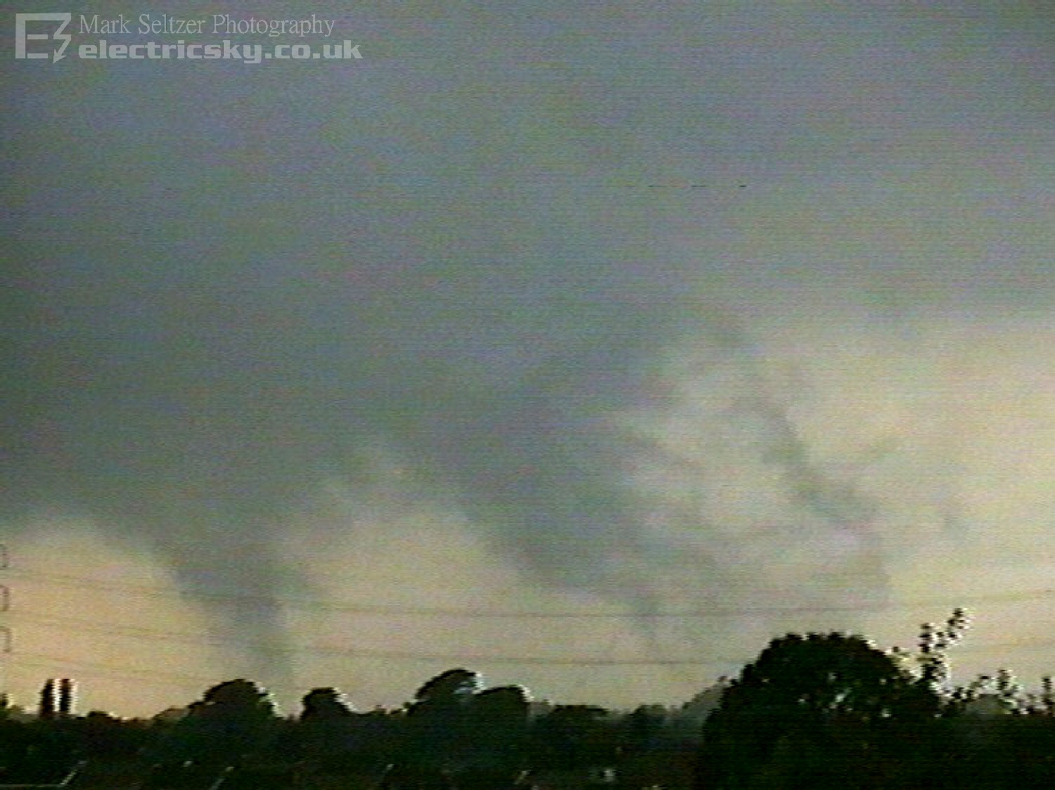
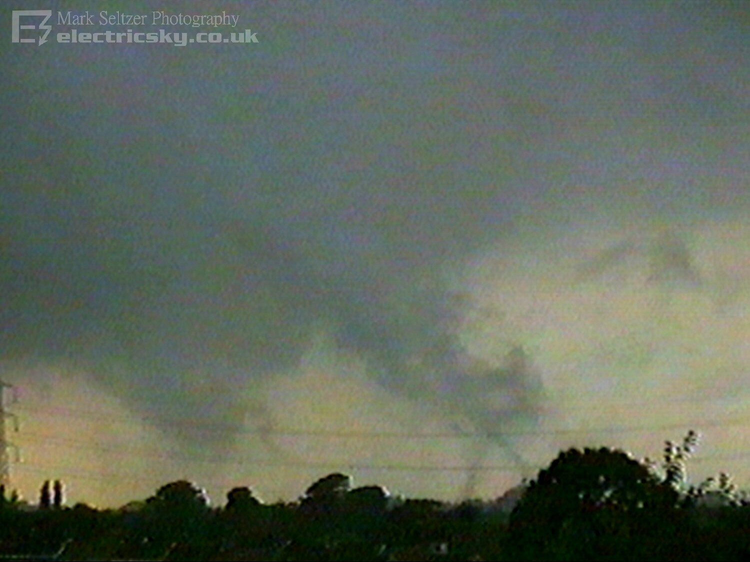
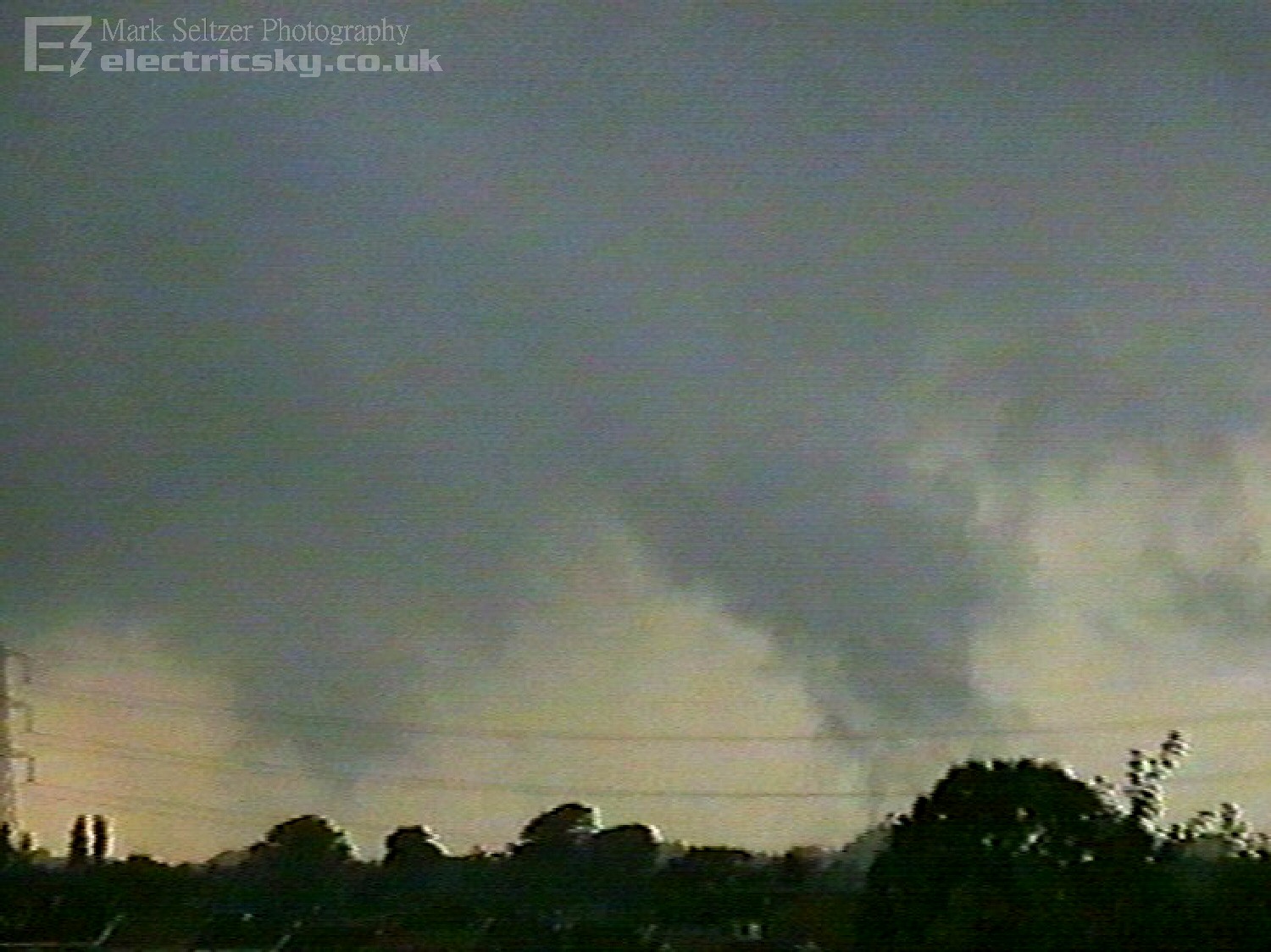
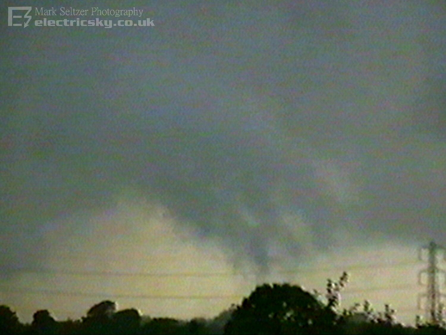
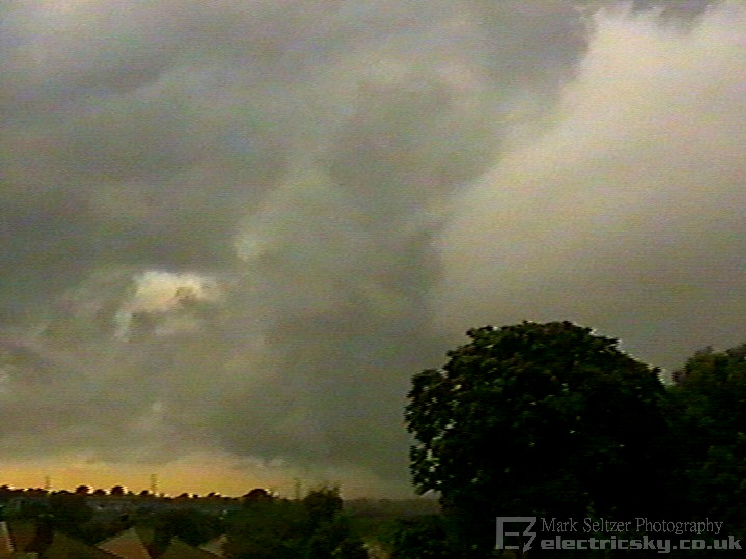
Whatever the environmental conditions, it was enough to produce convection with what looked like a classic supercell base. A rapidly rising (to the naked eye) updraught was evident on the right hand side of the mesocyclone, so I focussed the camera initially on that. It was obvious there was either horizontal shear through convergence as the mesocyclone appeared to be rotating, especially in time-lapsed footage.
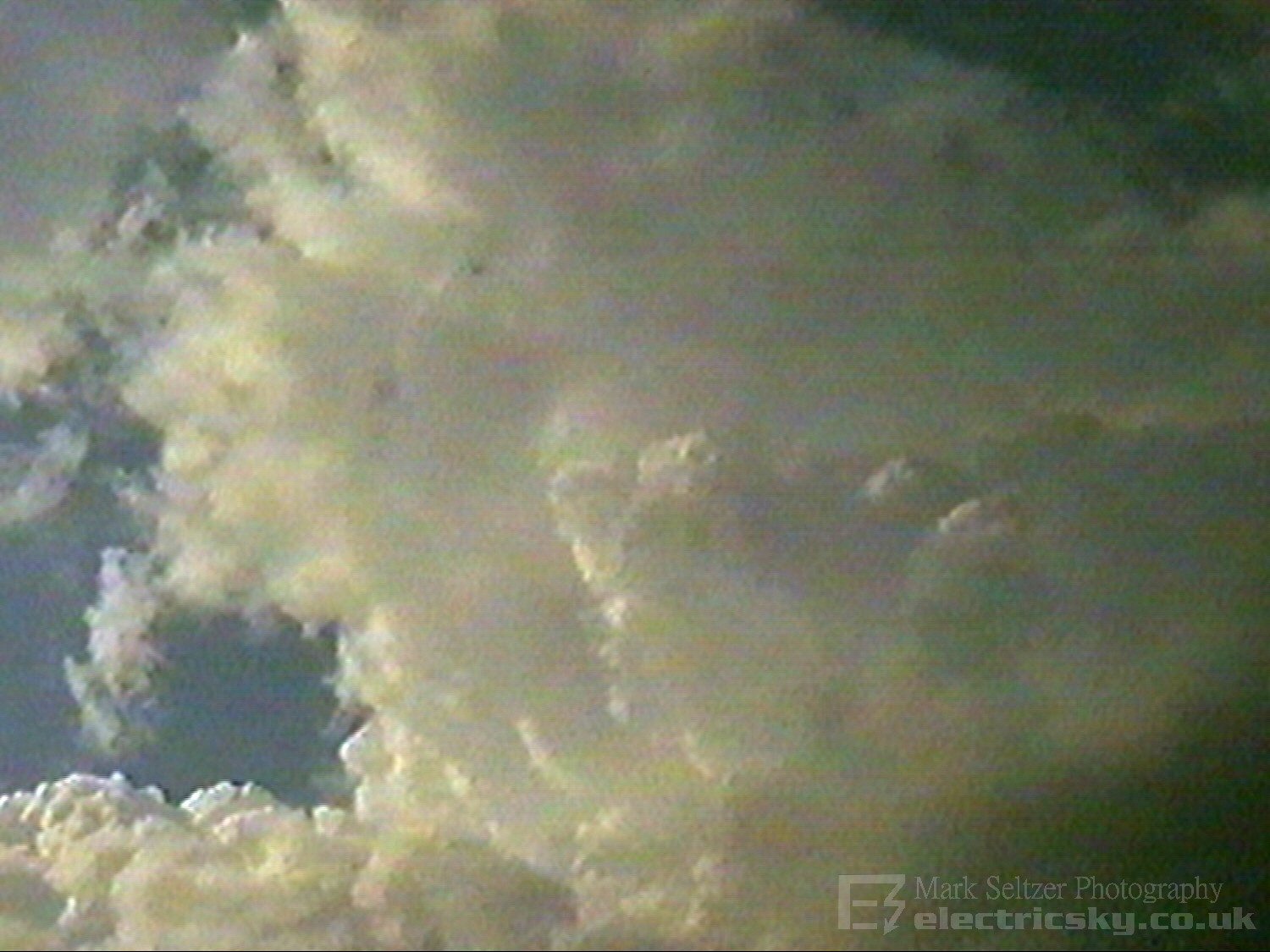
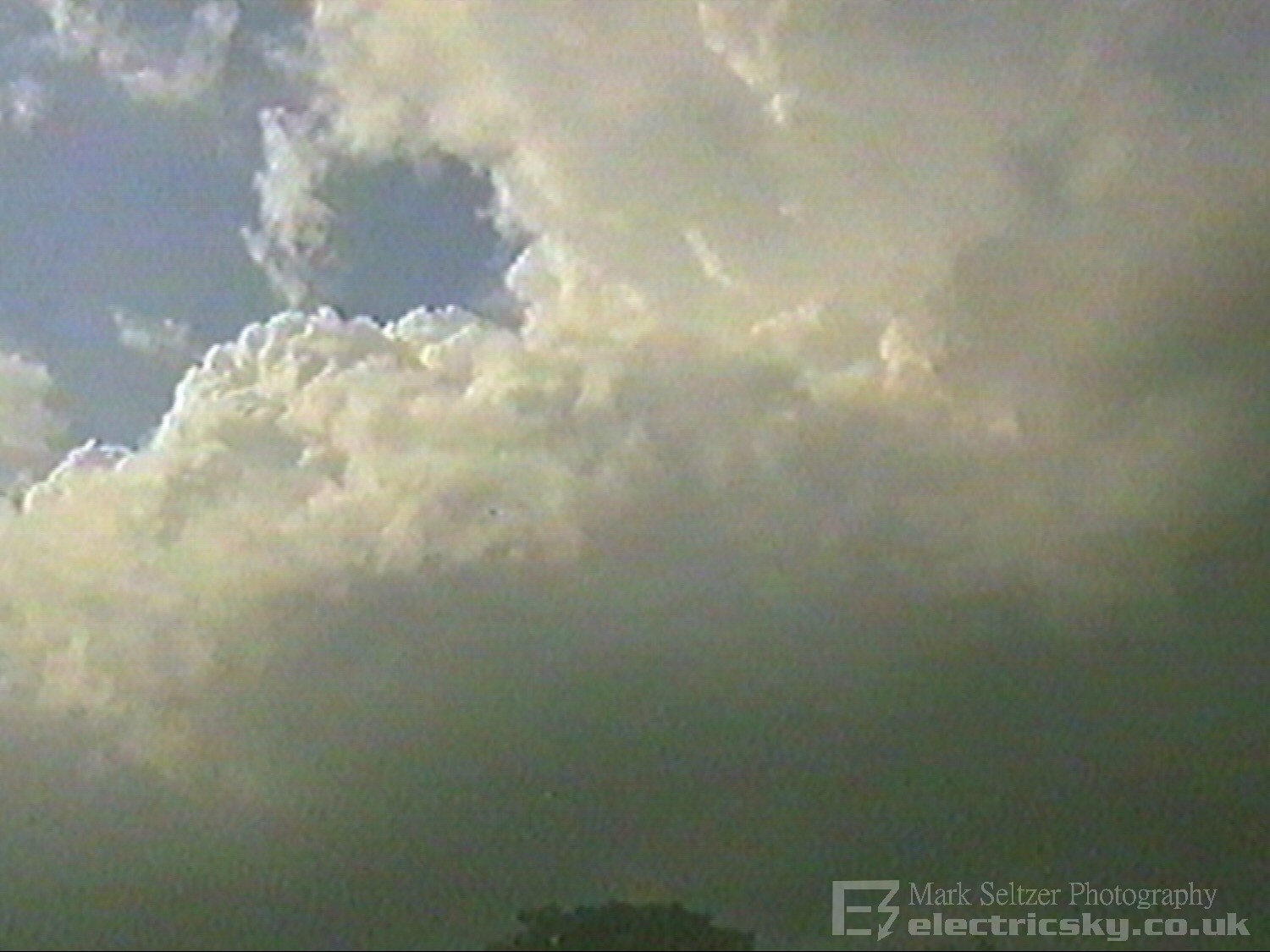
Low cloud close to Macclesfield was moving in a southerly direction while the mesocyclone drifted northeastwards. What looked like a roll-cloud with swirls was seen in the local skies, supporting large wind shear. As I watched the mesocyclone twist in the distance, with my camera trained on it, the updraught on the right hand side went completely vertical and I saw ragged condensing cloud start to form under it all the way to (from?) the surface. This was in a similar position as the tornado spawned from T0014 the previous year 1998, though being on the flat Cheshire plain I doubt locality had anything to do with this coincidence.
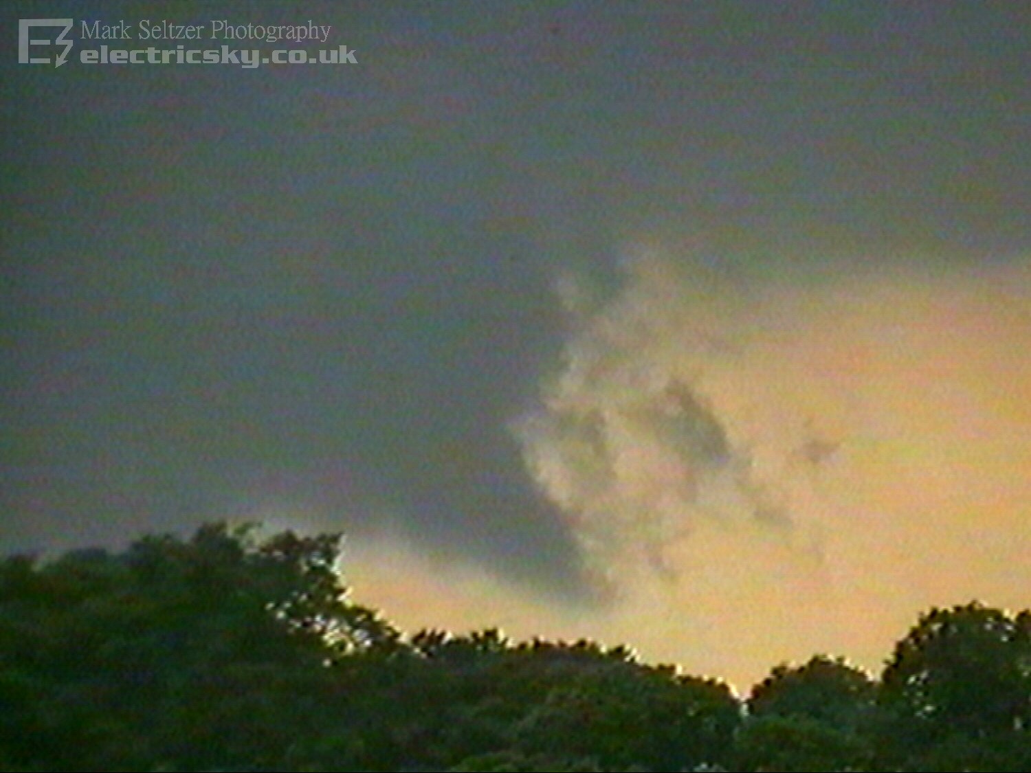
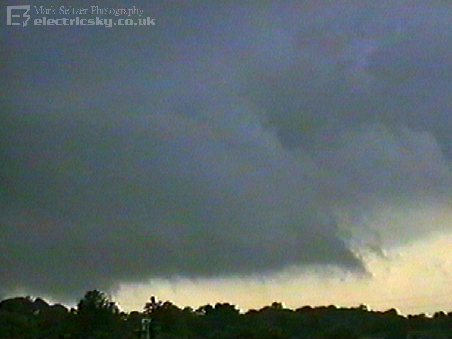
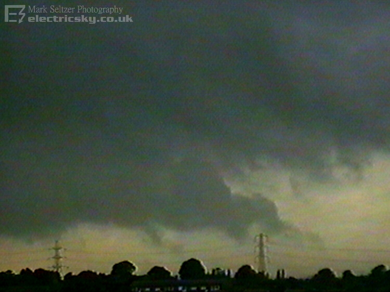
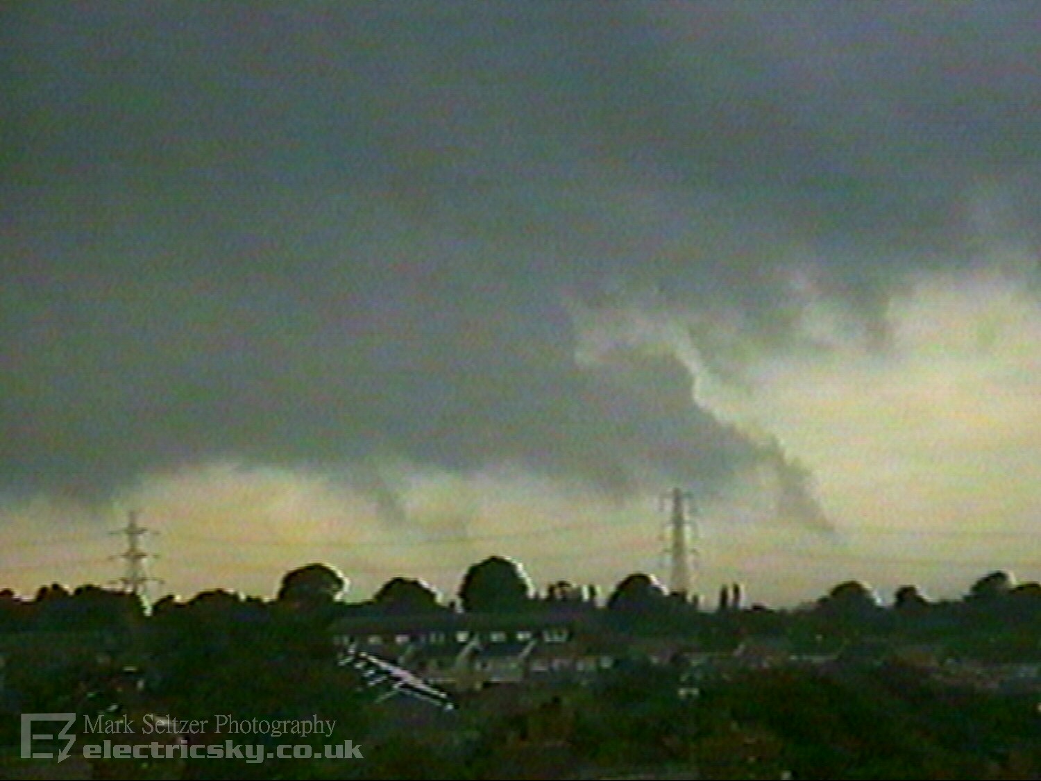
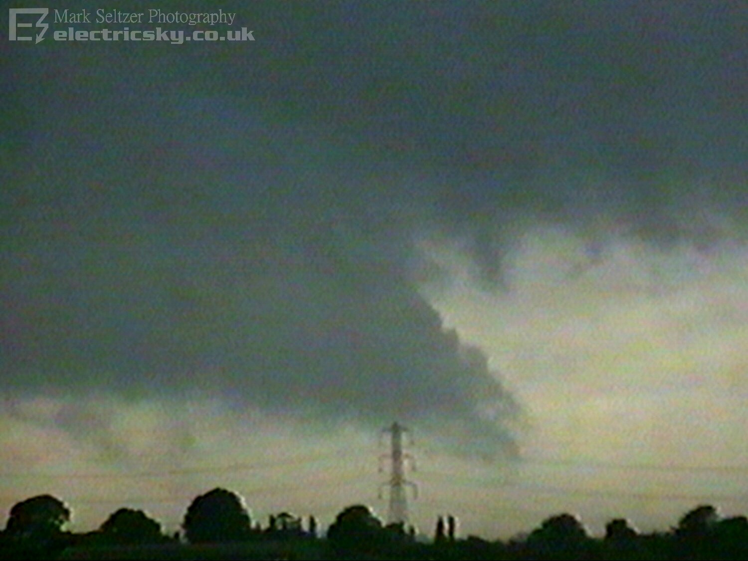
The ragged cloud seem to tighten into a funnel-shape and twisted for a minute or so. Then, a SECOND swirl of condensation developed to the right of the primary, this time starting from the ground up and appeared to be a bit closer than the first. It was clearly on the deck given I was looking down a plain, so I deem this either a well-defined Gustnado or Tornado. Characteristics of both types were evident. I zoomed in with the camera and could see pronounced and multiple sub-vortices to the surface as it spun around. The primary funnel at this time was still just about visible but started to dissipate.
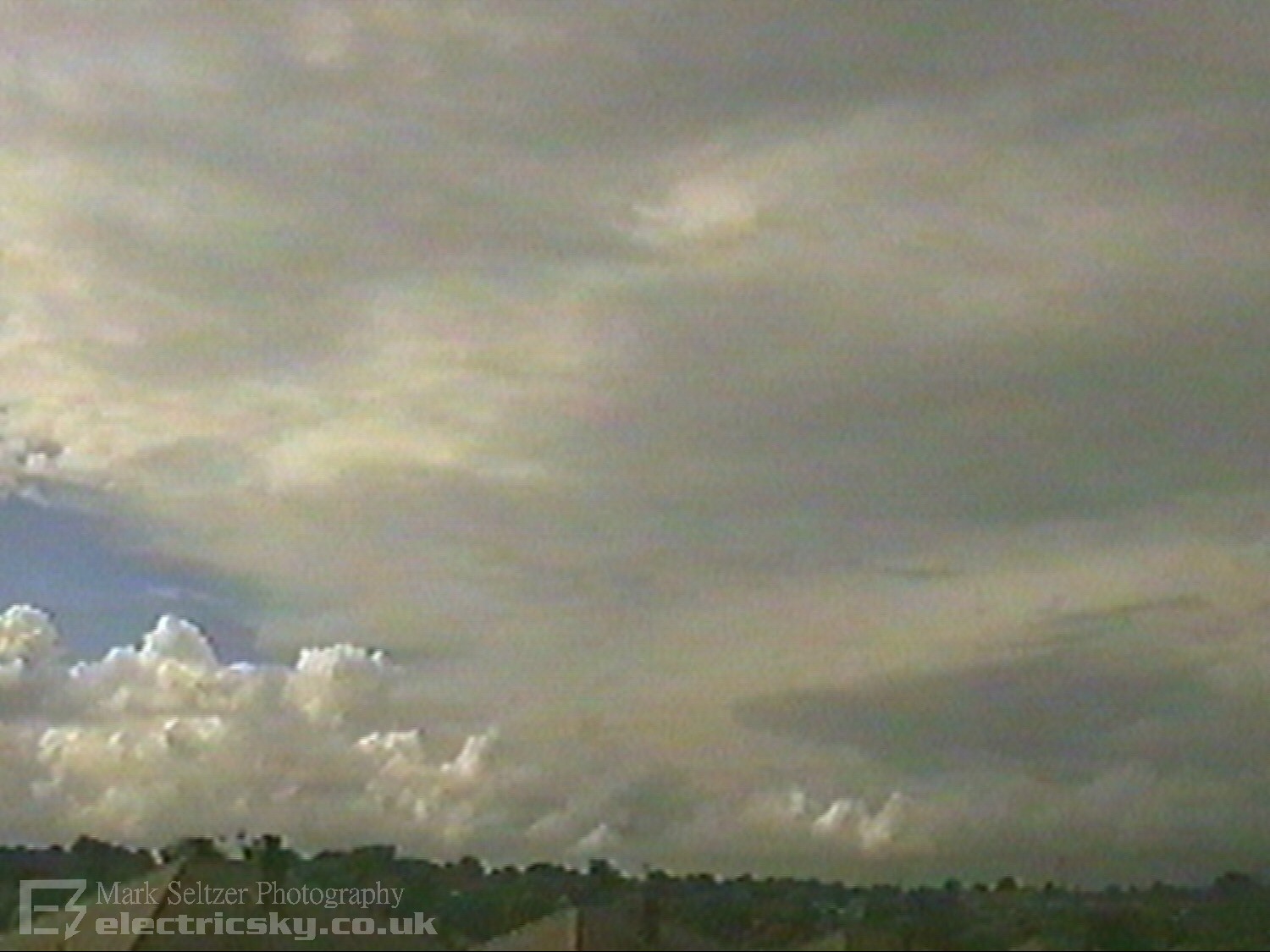
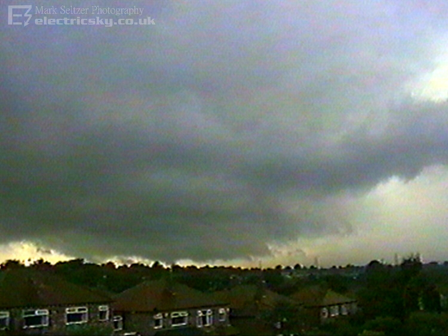
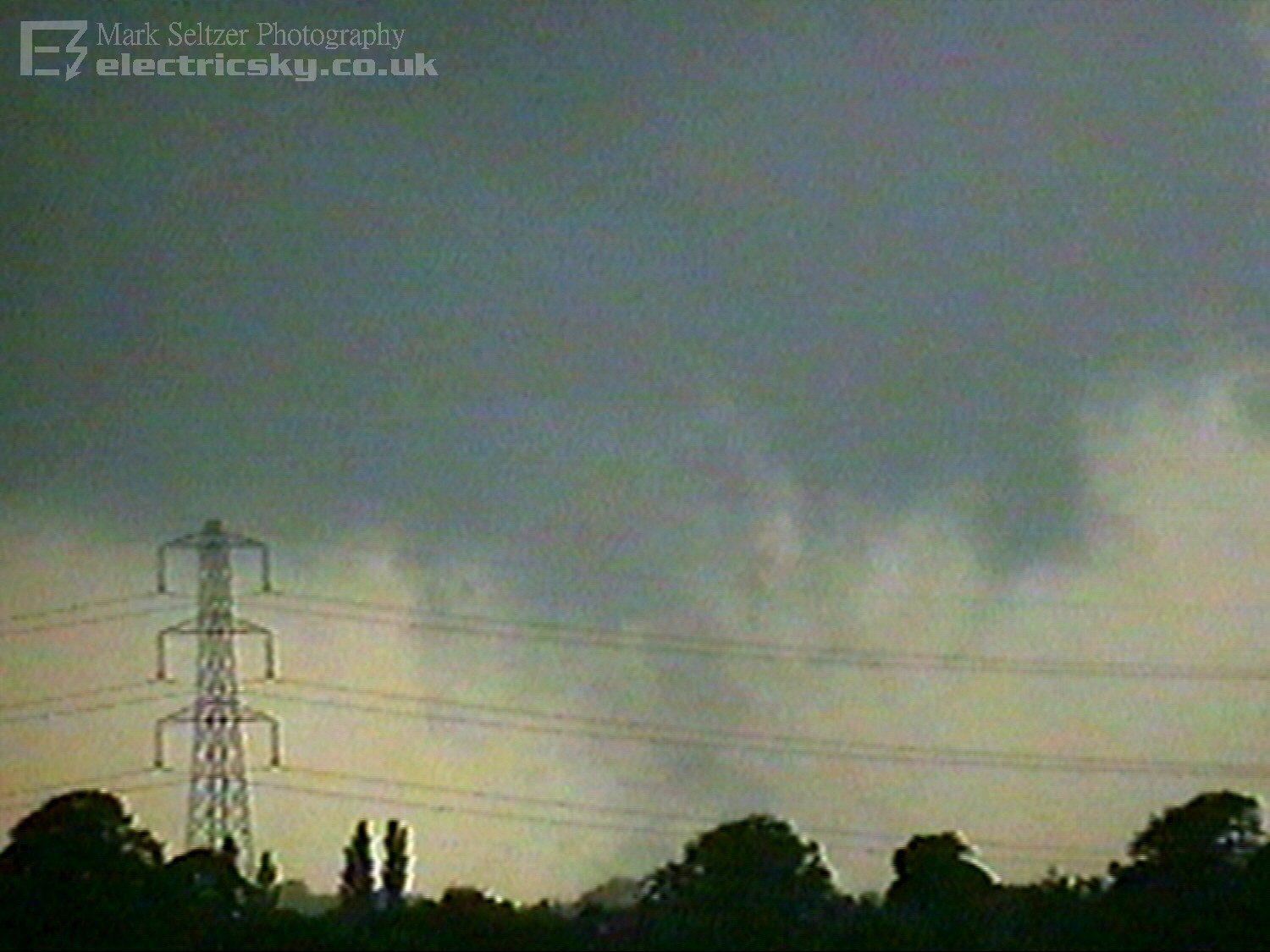
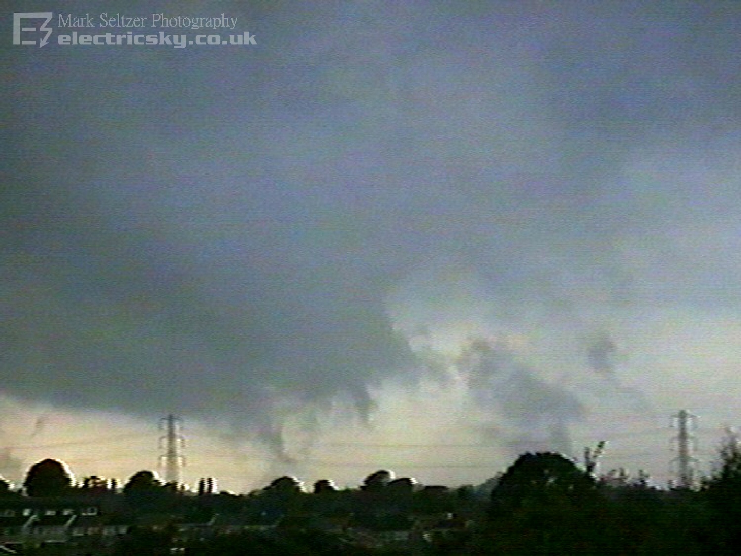
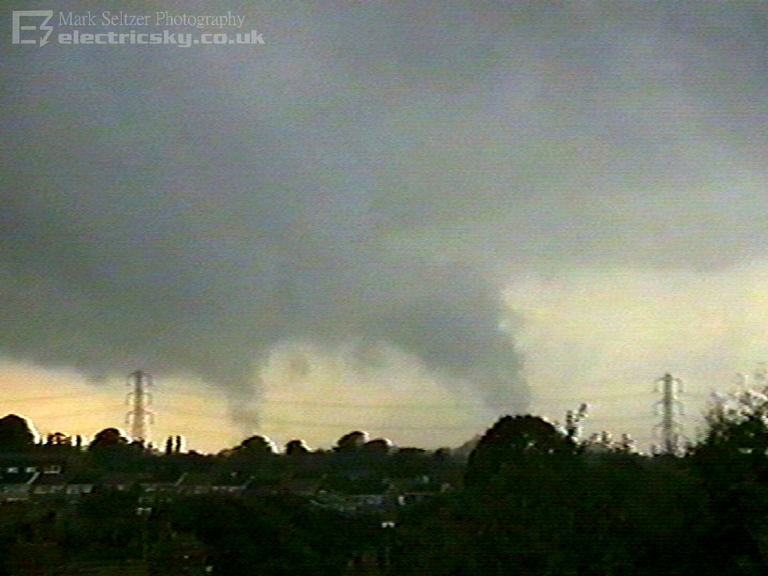
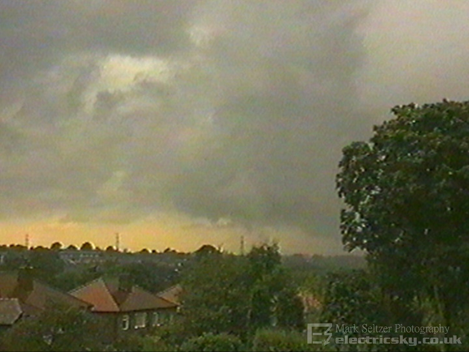
About 6 minutes after the second 'nado, both funnels ascended into the base. By this time the mesocyclone was moving behind trees and further northeast. A few further local showers followed overhead as the structure of the suspected supercell started to become more evident, demonstrating a very dark base with arcus clouds (similar to T0014 and suggesting outflow was present) and also an irregular mushroomed anvil. Interestingly, no thunder was heard during this whole event; perhaps too far away or not mature enough.
Tornadoes or Funnels Argument
In
summary I think a very rare event for the UK has been documented here. Twin
tornadoes/gustnadoes, in the UK, without having to even chase them...
(bedroom window!) what are the odds?! Has a multi-vortex ever been
documented in the UK? Am I the first? I would welcome anyone's thoughts on
this for discussion. As a time-served meteorologist, I am still a little
perplexed as to what I witnessed on this day.
|
© Mark Seltzer
www.electricsky.co.uk