
![]()
|
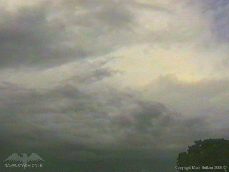
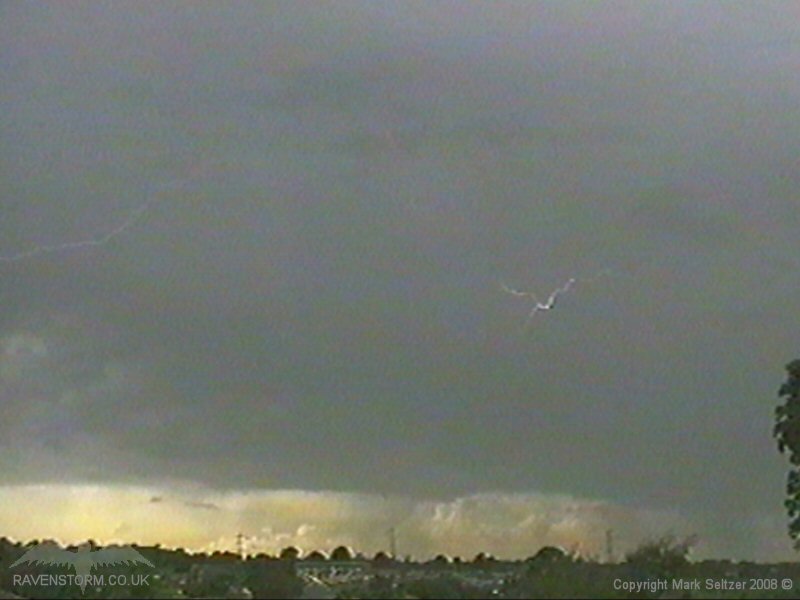
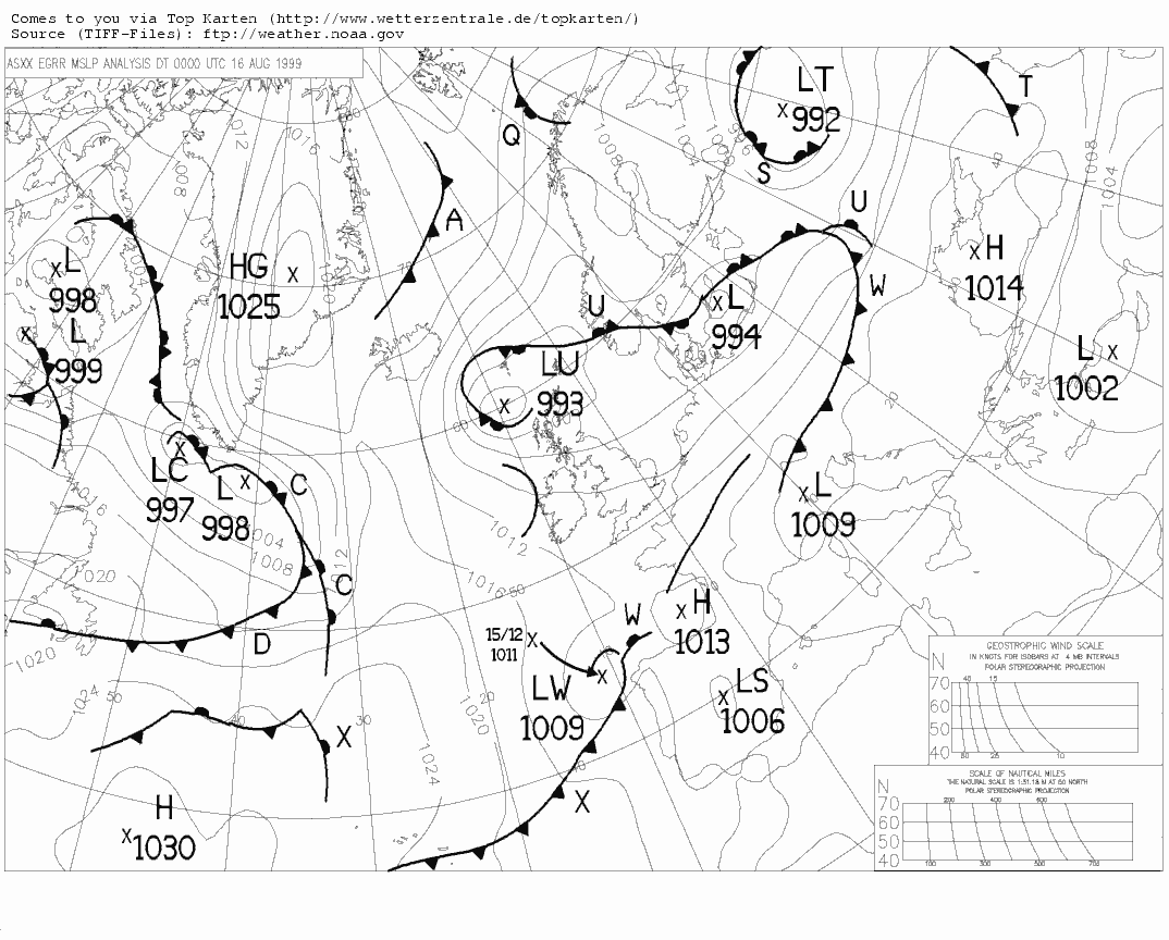
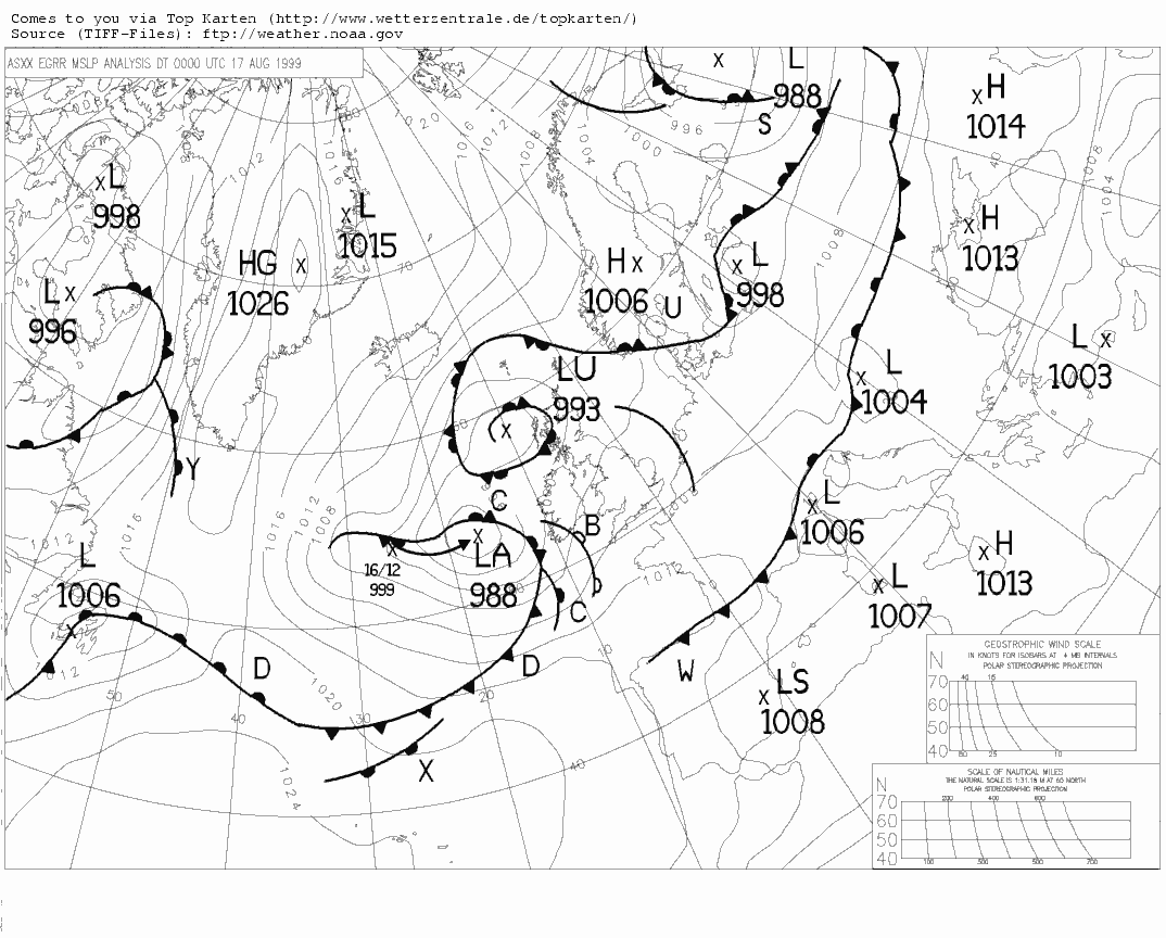
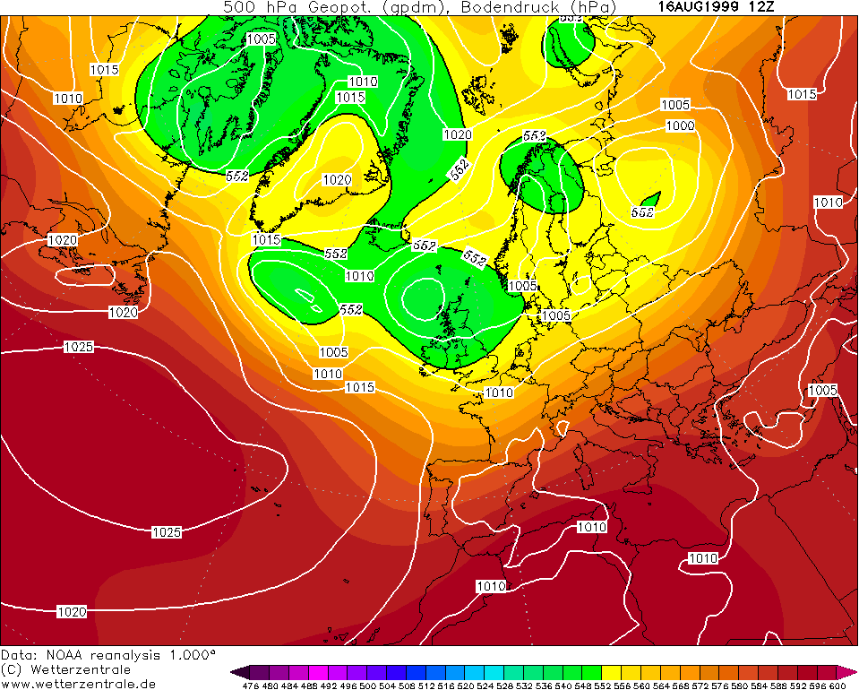
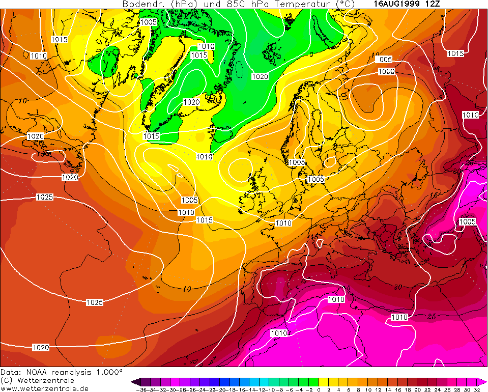
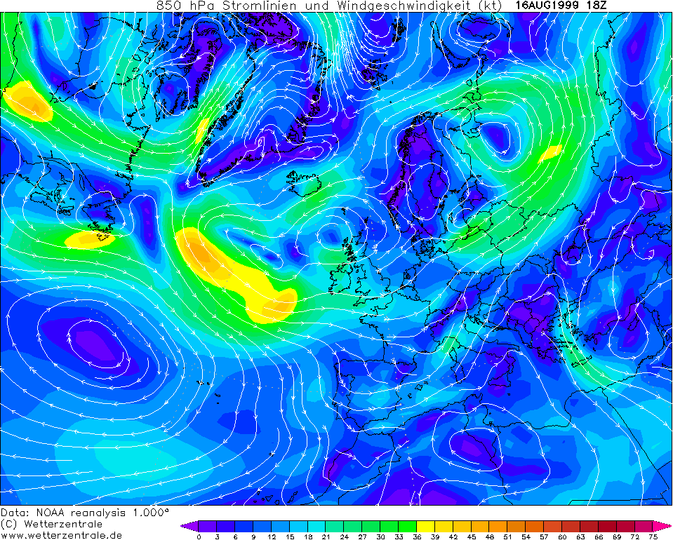
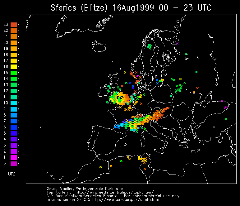
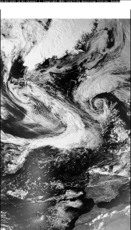
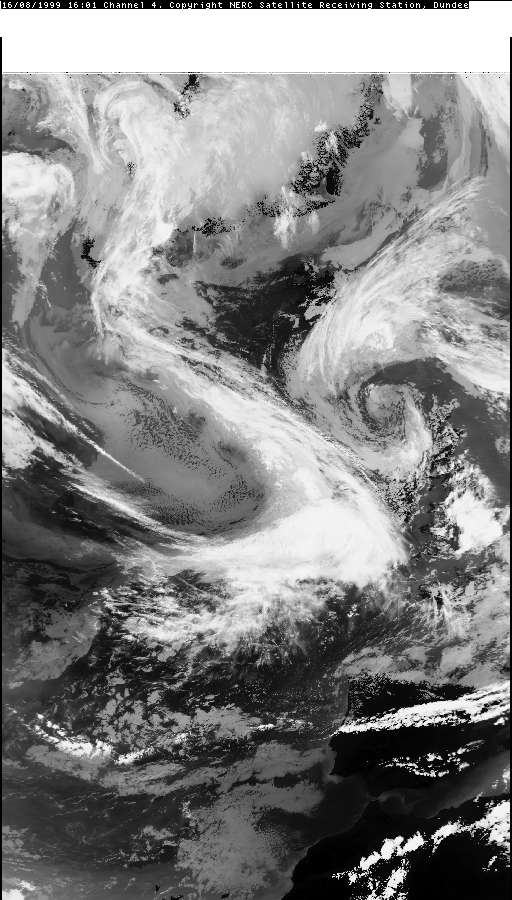
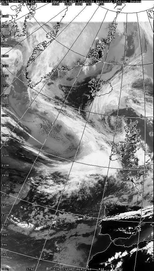
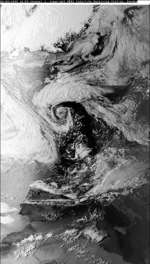
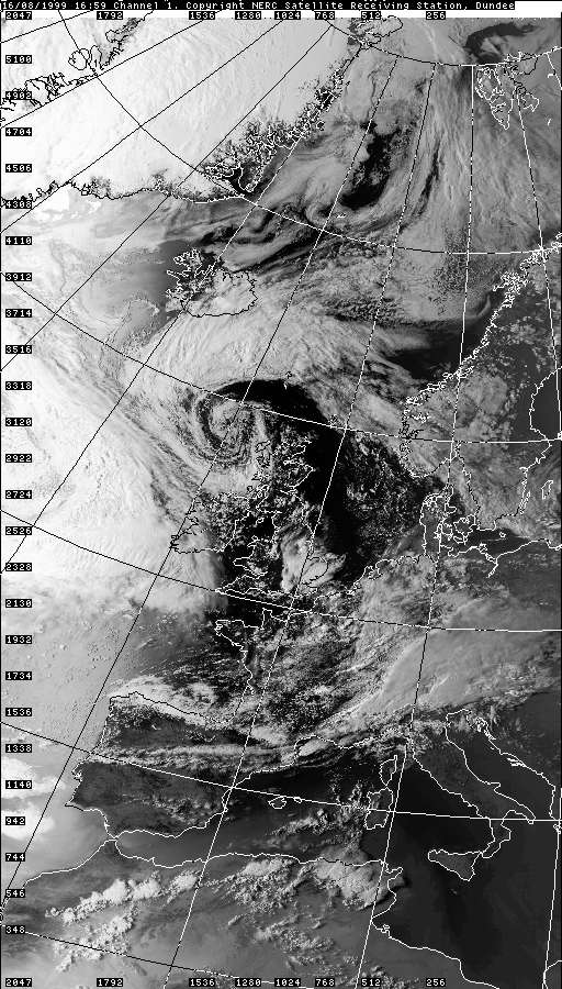
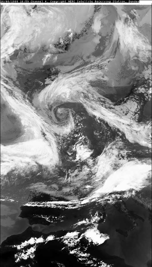
THUNDERSTORM T0028 Today was a typical summer polar maritime day of heavy showers and isolated thunder from the west. A couple of inactive cells rolled over the Macclesfield area earlier in the day before this came. It had an irregular anvil and was developing steadily as it moved in.
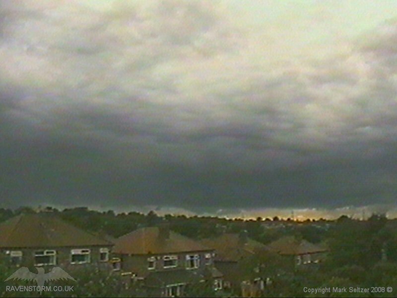
The base was fairly dry as it made its approach as heavy downdraughts were not yet developed. Bizarrely the storm appeared to be hovering as much of it wasn't connected to the ground with rain curtains.
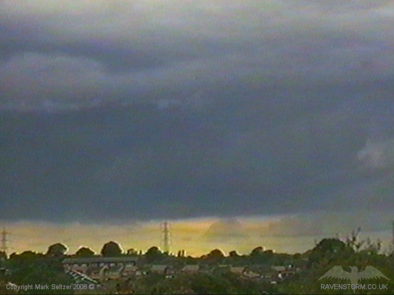
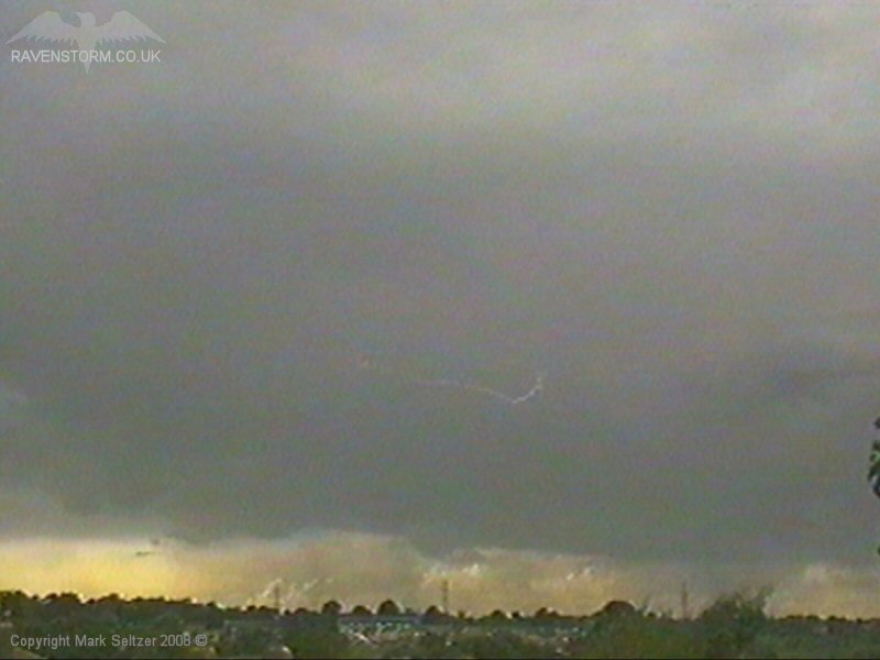
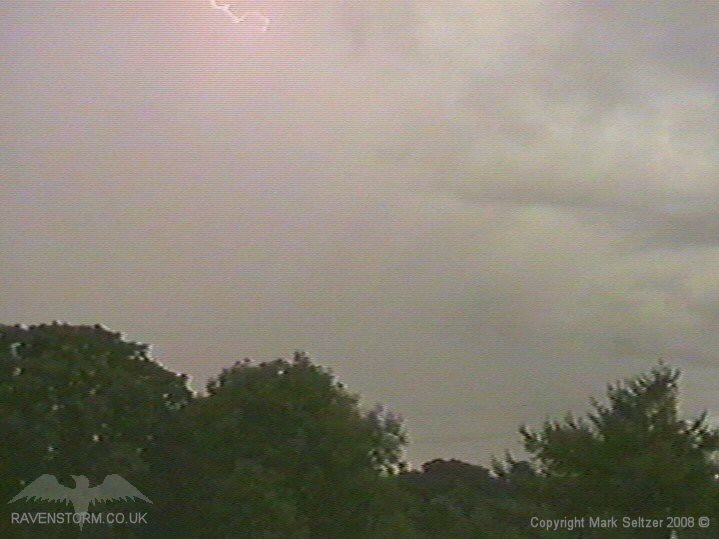
It gave a few high-amp C-Cs in it's lifespan before dissipating as it passed over, giving one last loud C-C. It had a very dark base, emphasized by the contrast between the daylight running underneath it. Most of the heavier storm cells were to the south of the country in the afternoon near a wavetip/trough line.
SFERICS (Credits) |
© Mark Seltzer
www.electricsky.co.uk