
![]()
|
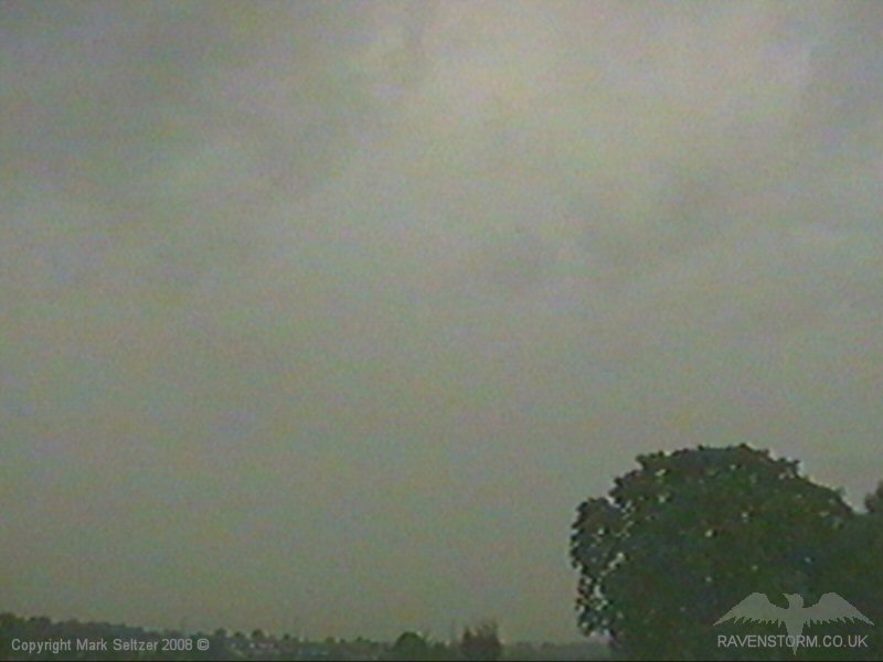
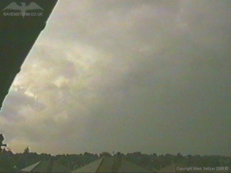
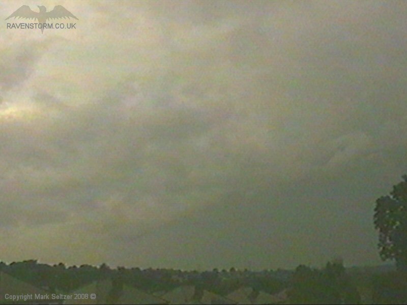
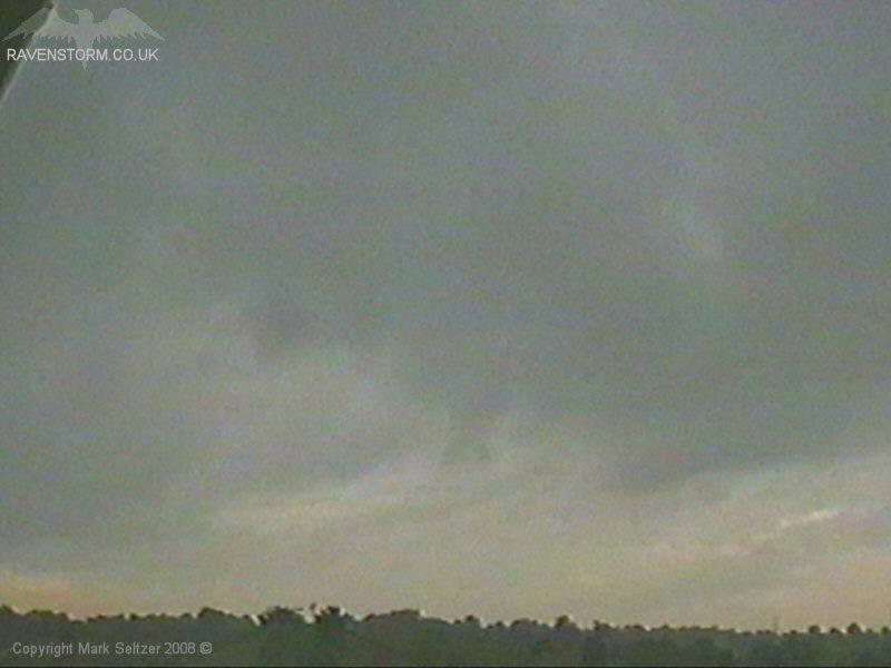
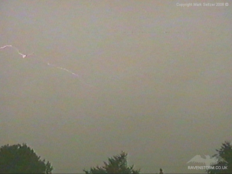
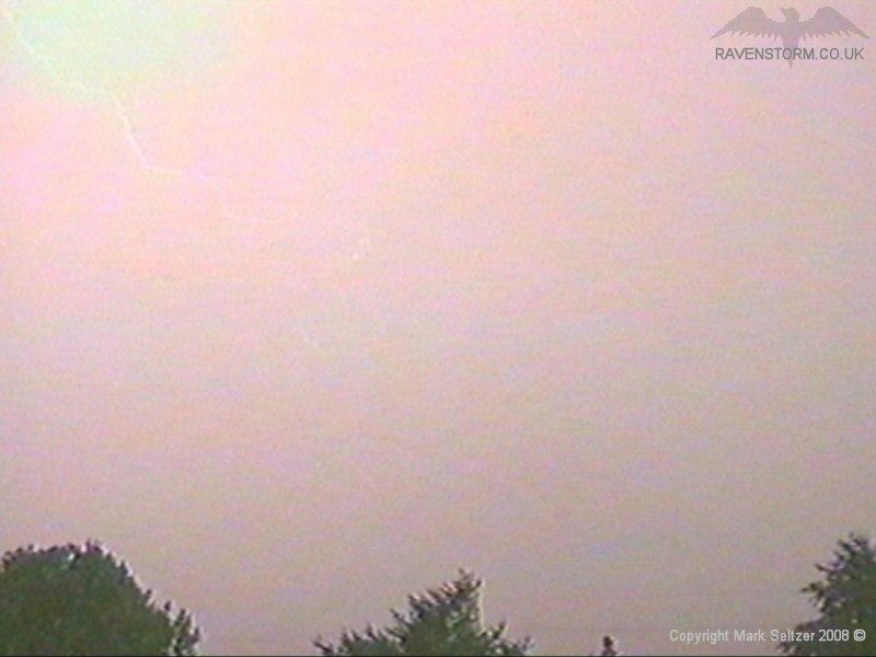
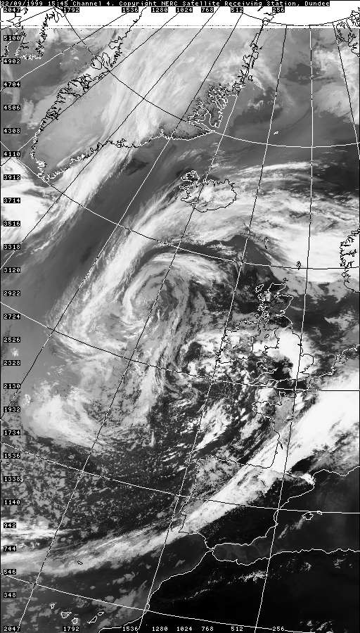
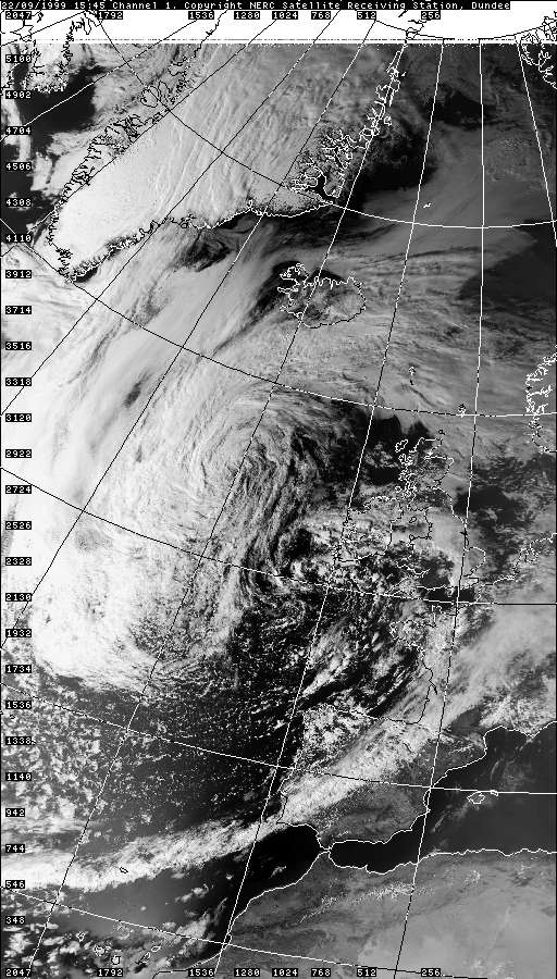
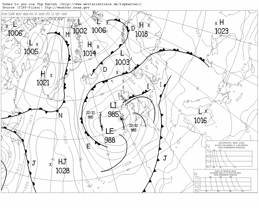
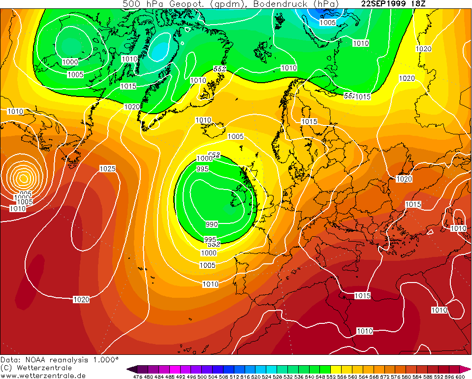
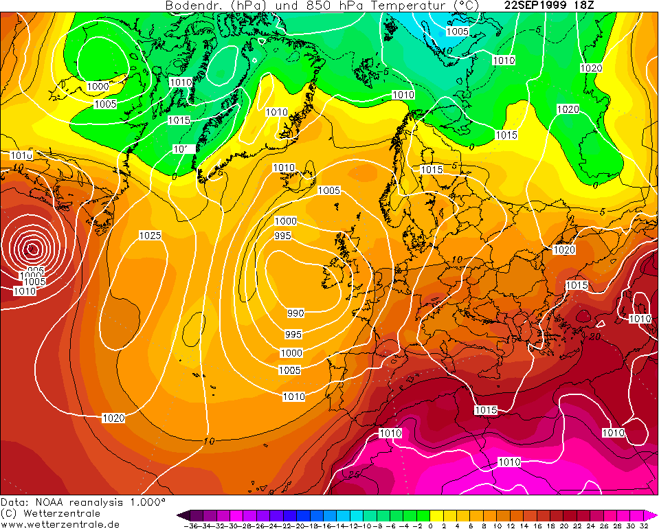
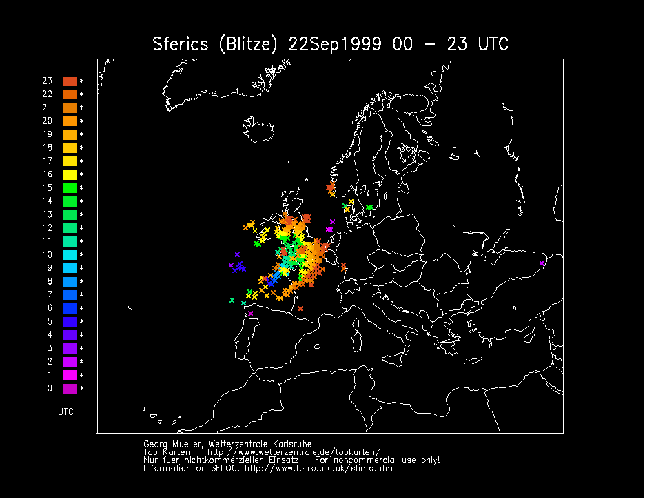
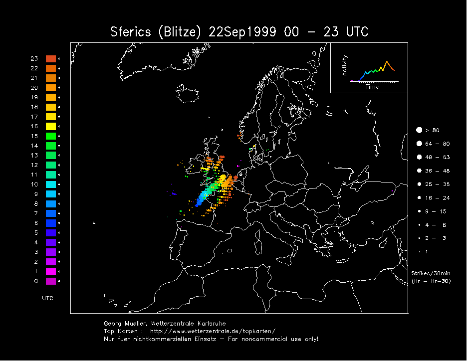
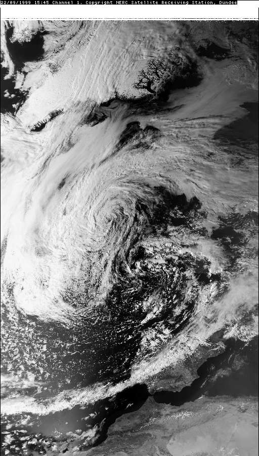
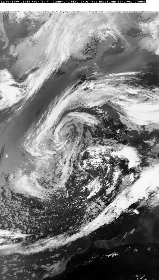
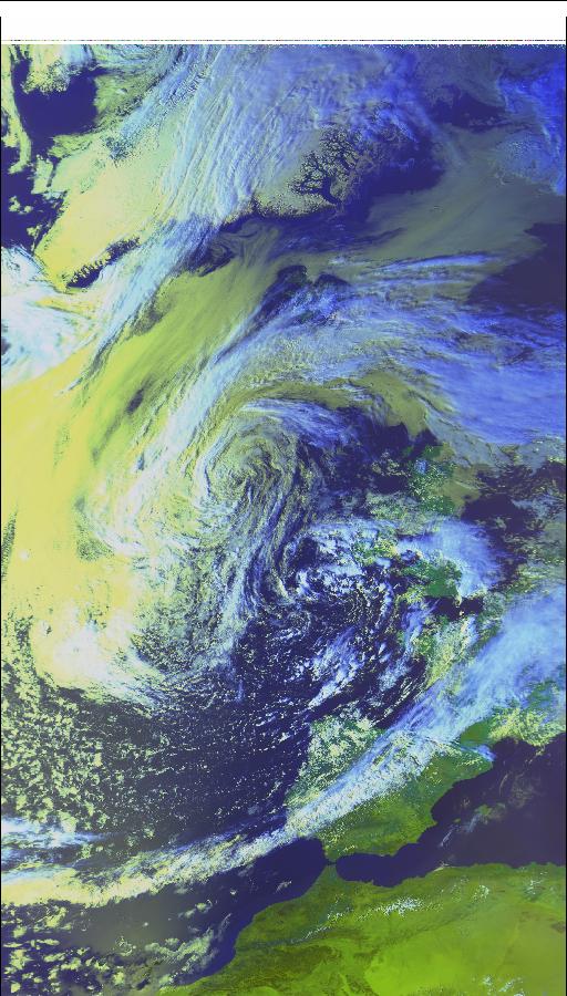
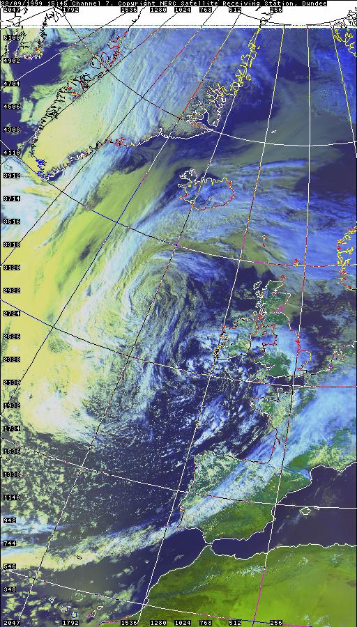
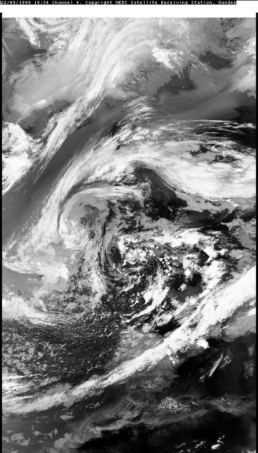
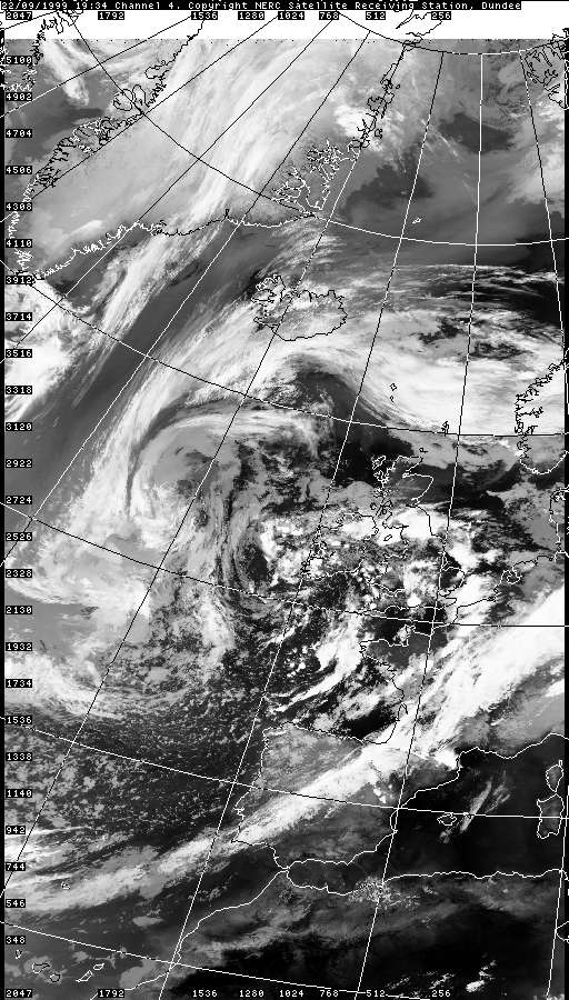
THUNDERSTORM T0030 An active trough ran through a returning polar maritime airmass of a mature low, perhaps coupled with daytime heating gave rise to a band of thunderstorms which worked their way northeast across England and Wales. Quite late in the season (early Autumn) I was not surprised to observe that it was a rather weak affair locally when the system rolled over Macclesfield, with 3 distinct pulses or cells, but nevertheless it went bang a few times, so it counts! The rest of the country, according to sferics, was bathed in rumbles too. Only one close C-C discharge was caught on camera out of all three cells.
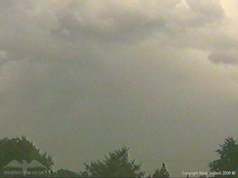
CELL 1 Back Edge:
CELL 2 Approach, C-C and Back Edge:
SFERICS (Credits) |


© Mark Seltzer
www.electricsky.co.uk