
![]()
|
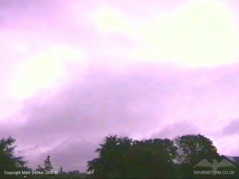
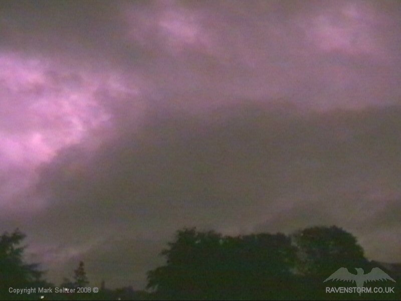
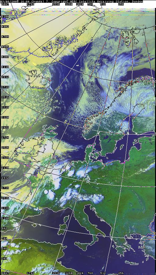
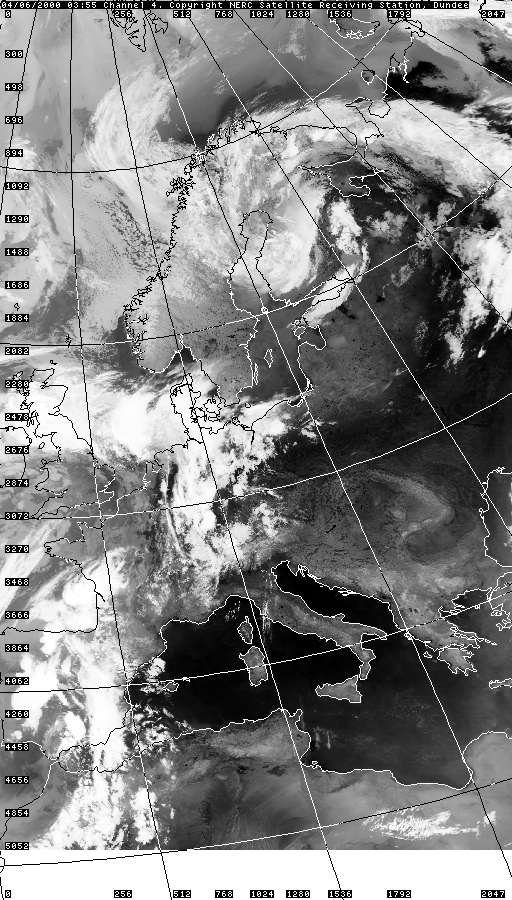
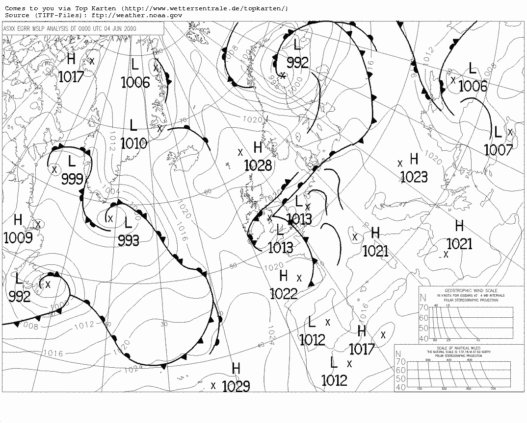
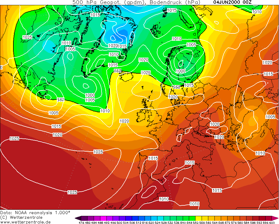
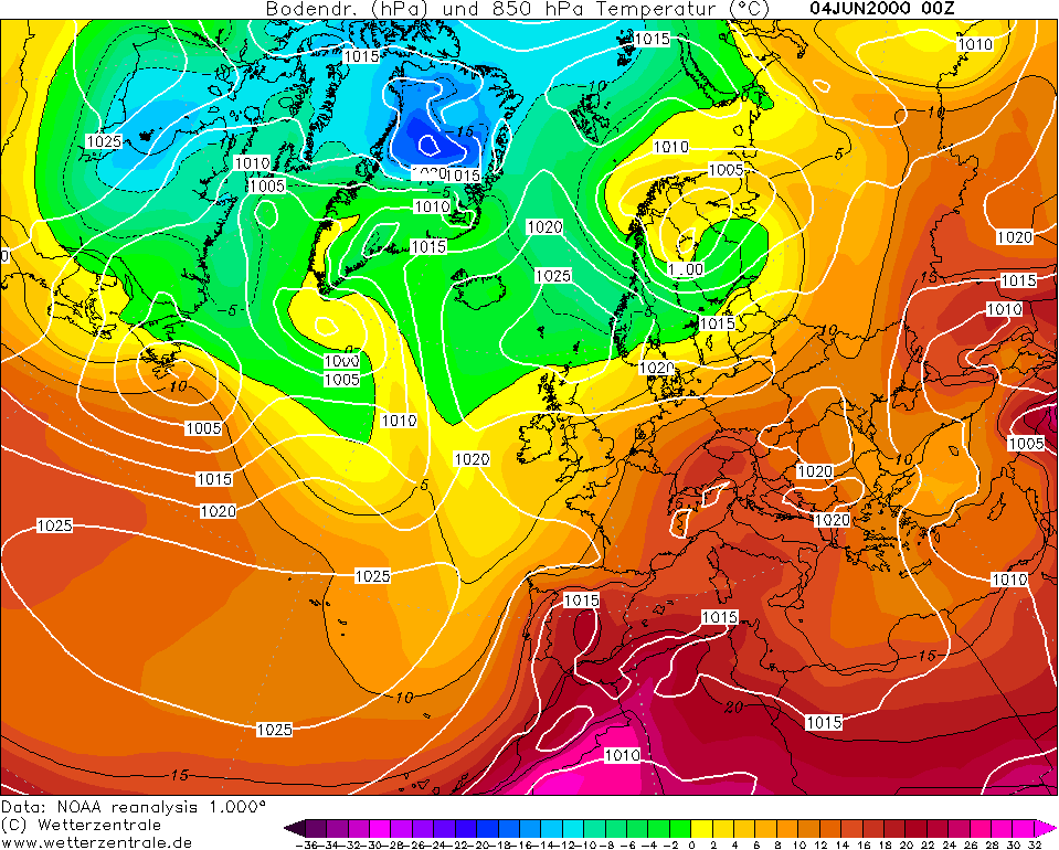
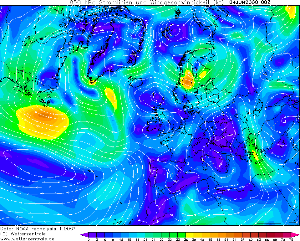
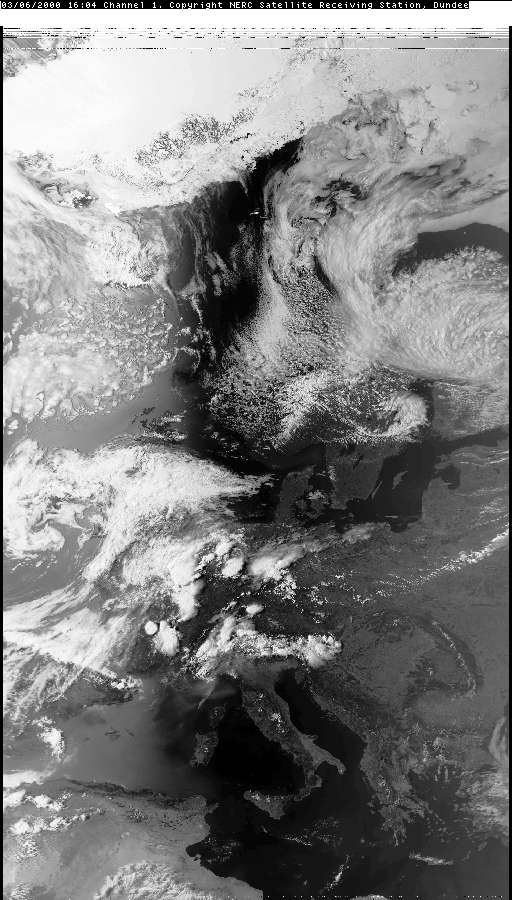
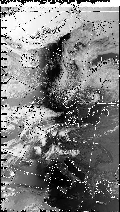
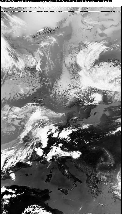
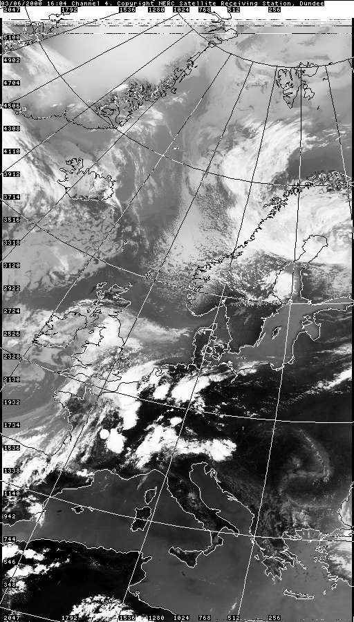
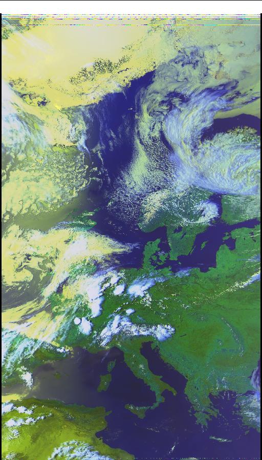
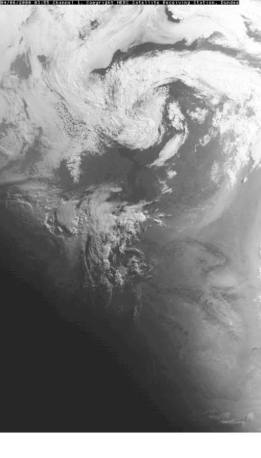
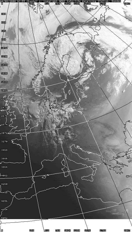
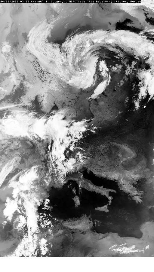
THUNDERSTORM T0031 I was actually caught out in this whilst on a night out. The night started dry but getting towards 11pm it was raining very heavily, but with no lightning. It was when I eventually got home the lightning started happening, assumptions being the focus of the activity (developing cells) were at the back-edge of the whole system. A few I-Cs were seen, but nothing too exciting. As this is a storm that caught me unawares, the data collection was quite minimal, so I'm missing the Sferic charts for example. However collecting archive data showed that it was a slow-moving Spanish Plume low, so likely heavy rain everywhere without all of it being thundery. The back edge was marking the cold front, so the likely reason why the back edge was still electrically active.
NO SFERIC CHARTS AVAILABLE |
© Mark Seltzer
www.electricsky.co.uk