
![]()
|
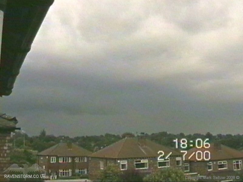
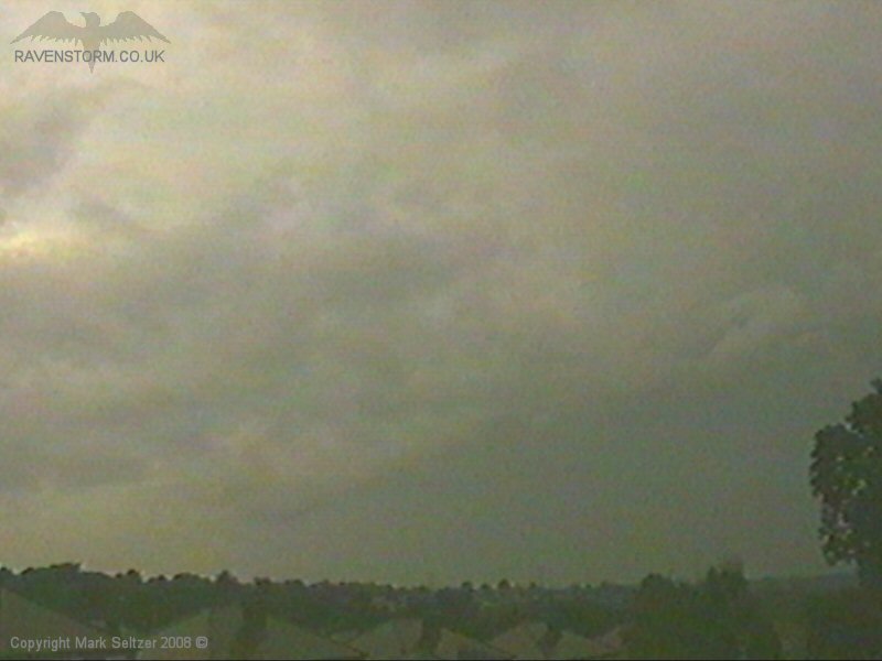
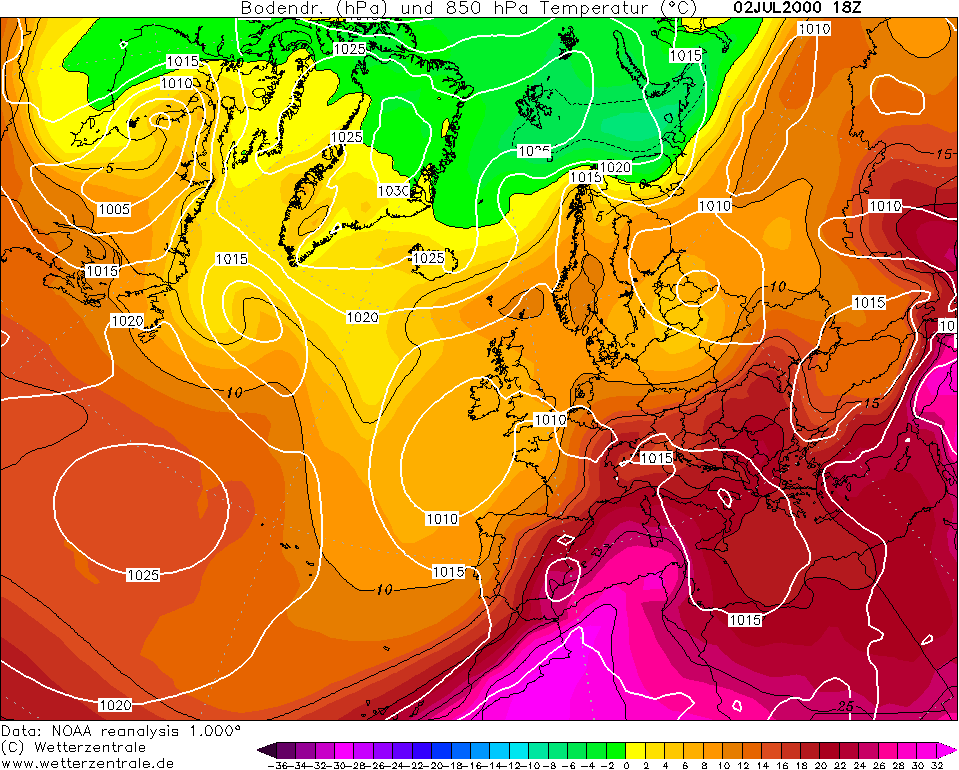
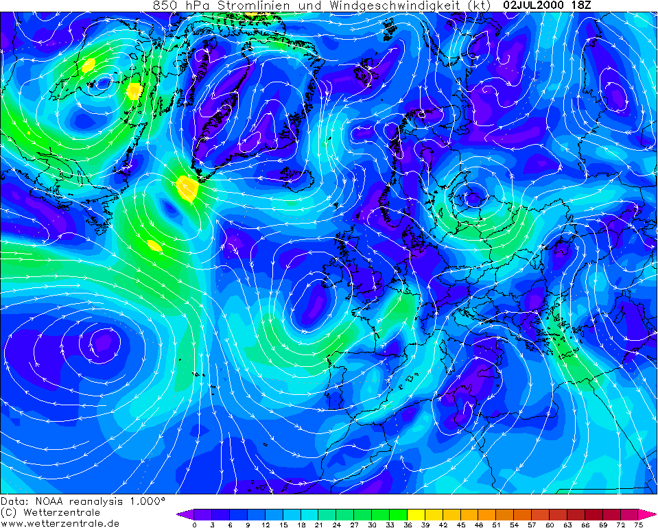
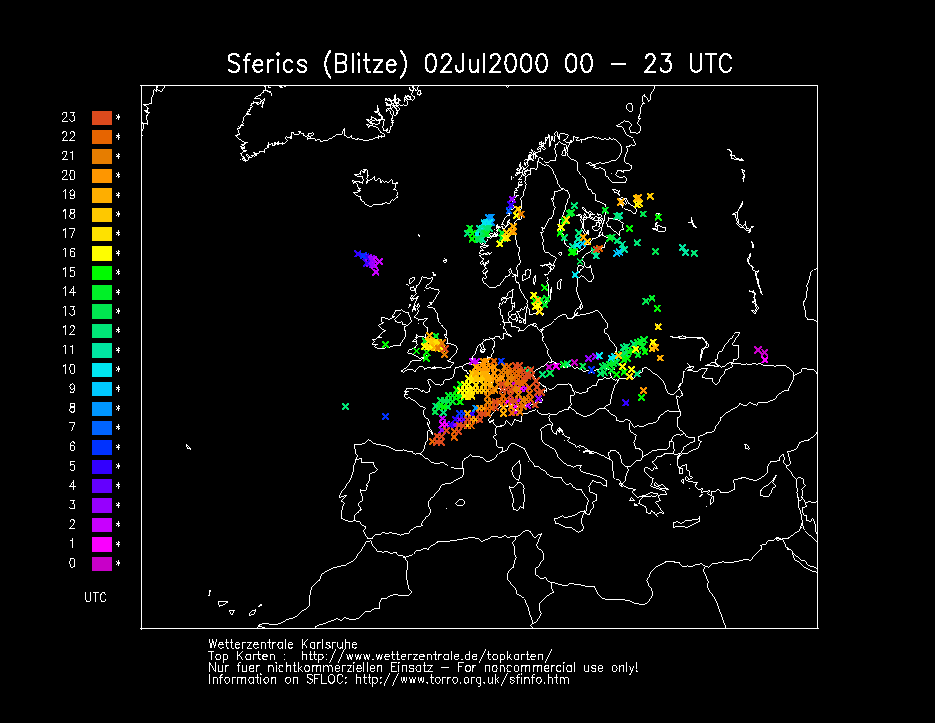
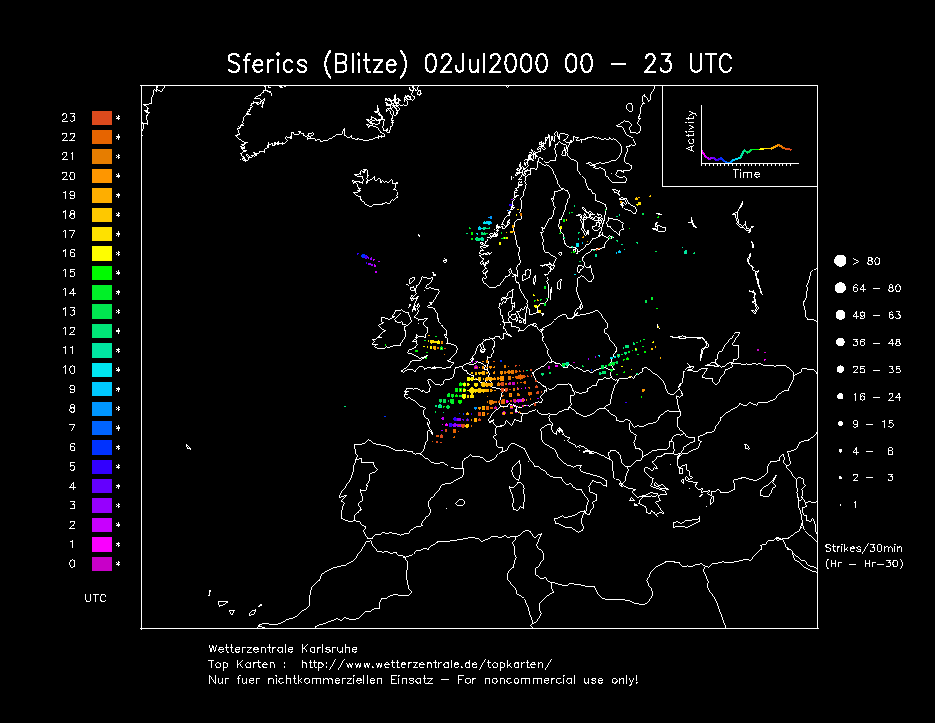
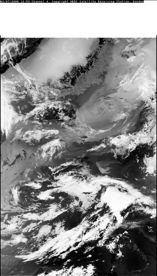
THUNDERSTORM T0032 The airmass over the UK today was very unstable and had a continental plume in the lower atmosphere, very humid. Heavy active thunderstorms have been parading around the country since the previous night. Firstly this evening, an arc of cells approached from the west and gave some distant thunder (but no lightning was seen).
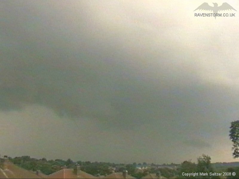
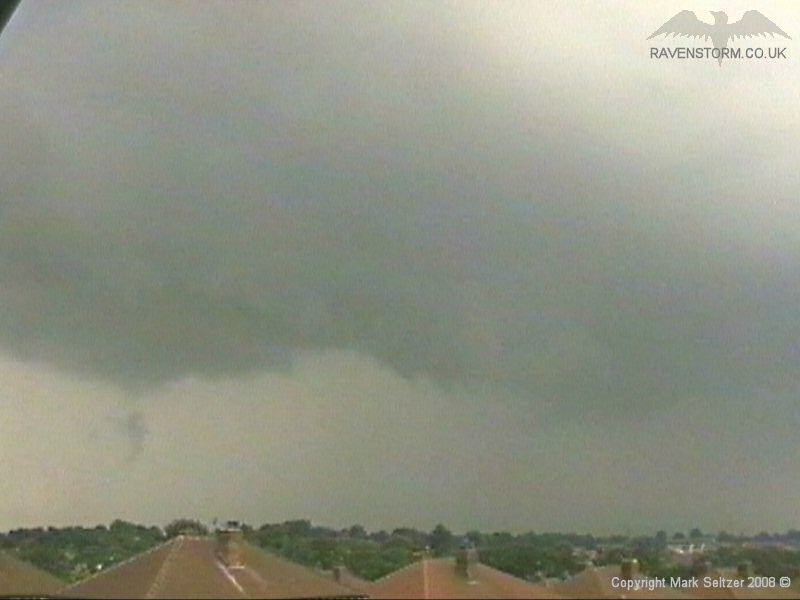
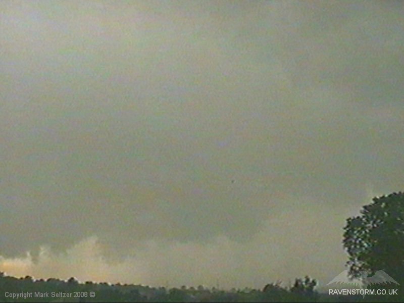
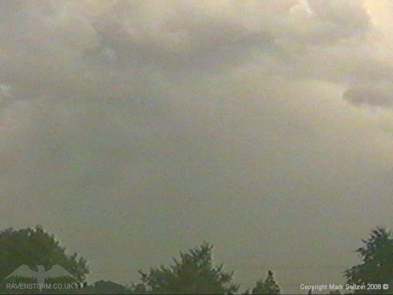
After that had passed, an extremely ominous dark arcus cloud was developing at a rapid rate moving north, clearly caused by outflow given it progressed in a different direction to the first cell. The cloud looked like it was boiling and had a slight tint of greenage to the base.
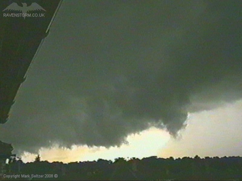
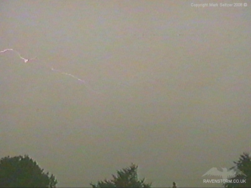
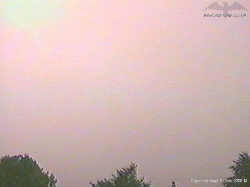
As this second cell continued overhead it developed very heavy rain curtains, but didn’t give much in the way of lightning in its infant stages. It gave one close C-C and then it fell silent as it powered on northwards.
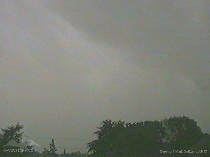
CELL 1 Back Edge:
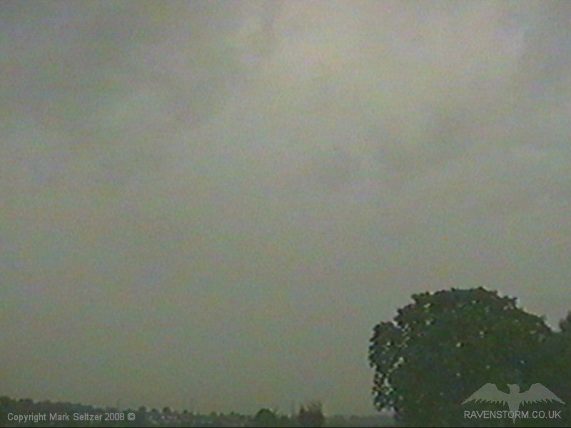
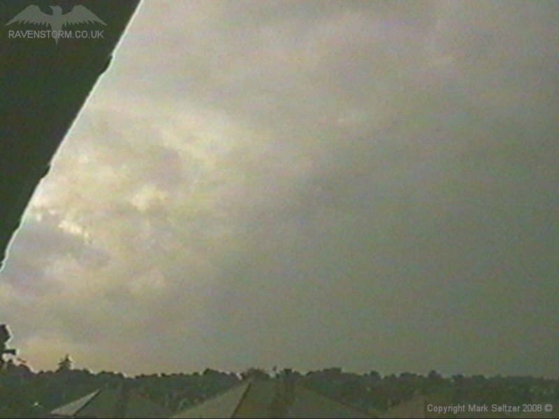
CELL 2 Approach, C-C and Back Edge:
SFERICS (Credits) |


© Mark Seltzer
www.electricsky.co.uk