
![]()
|
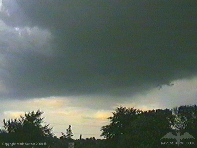
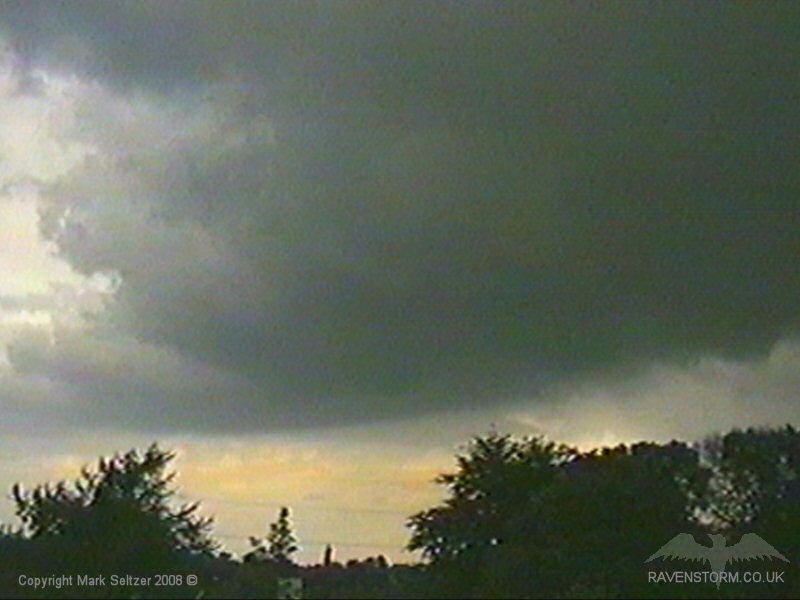
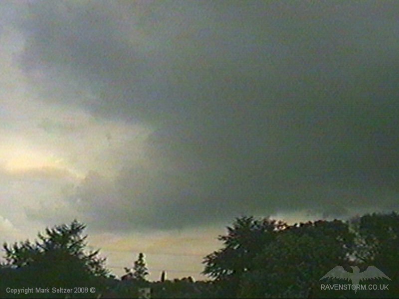
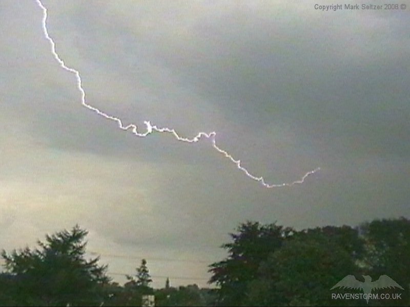
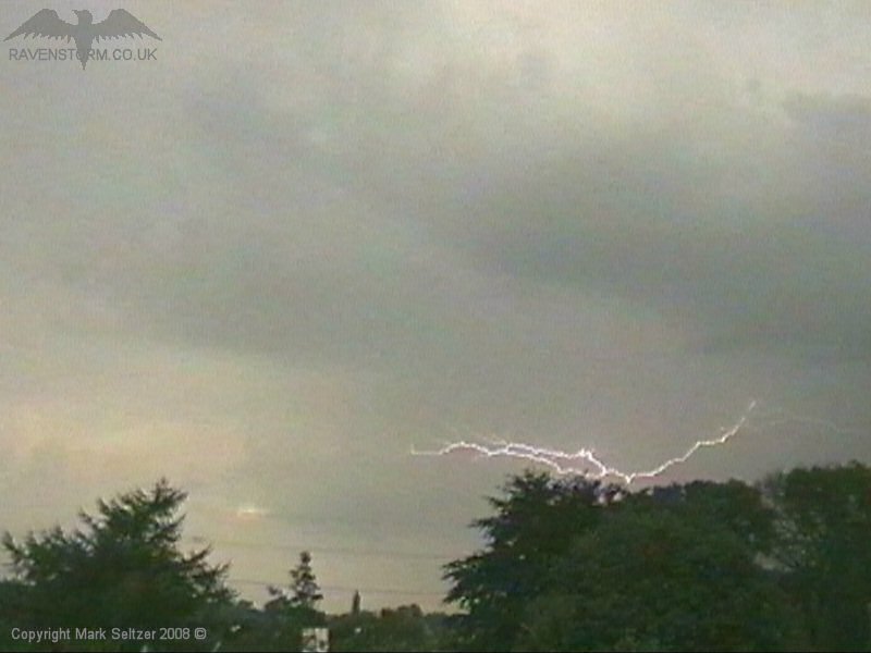
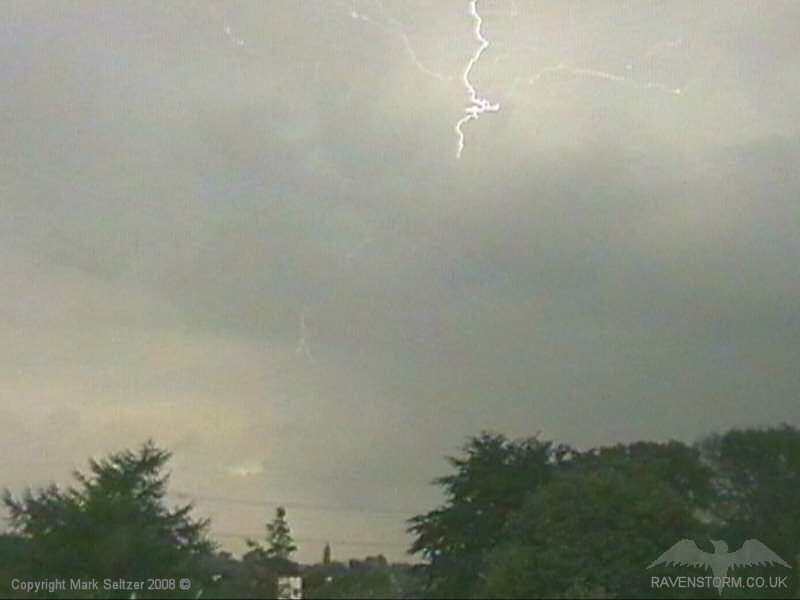
THUNDERSTORM T0034 This storm occurred whilst I was at work, however I was expecting activity today so had the camera set up already, at home, waiting to be switched on by picking up the phone and getting mother to do it for me! Cunning? I was only 16 so it was all acceptable behaviour.
I came home to witness some fairly impressive footage caught by the unmanned camera; C-C displays from a very ominous dark looking base moving north eastwards. Well done mum!
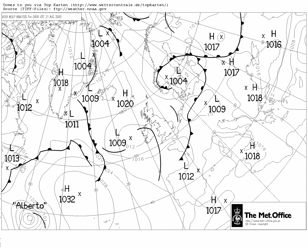
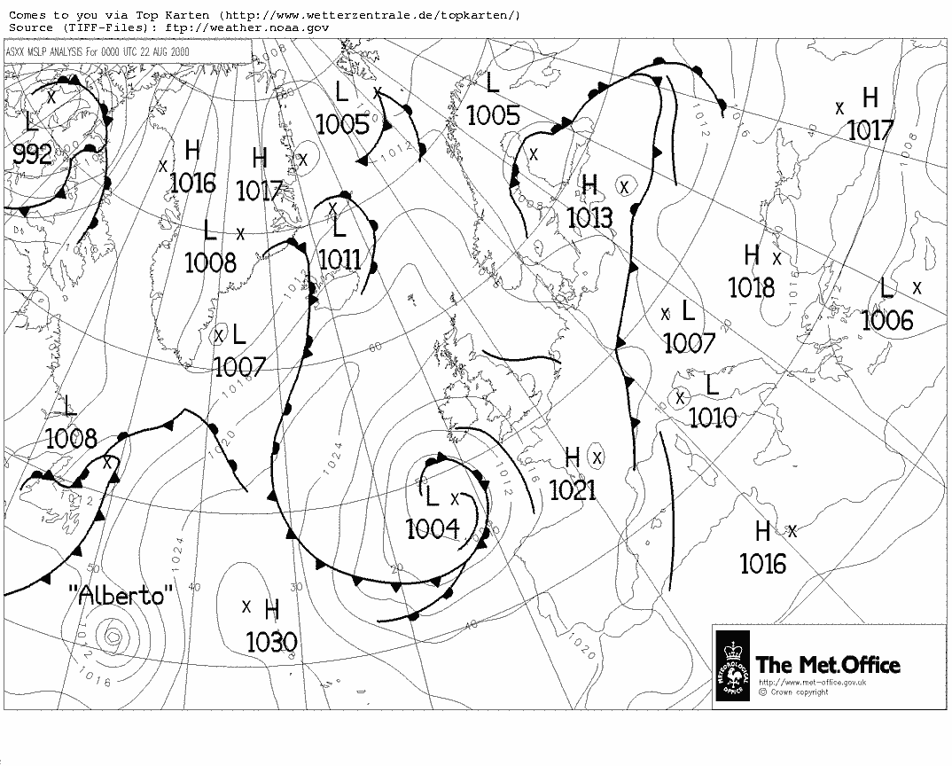
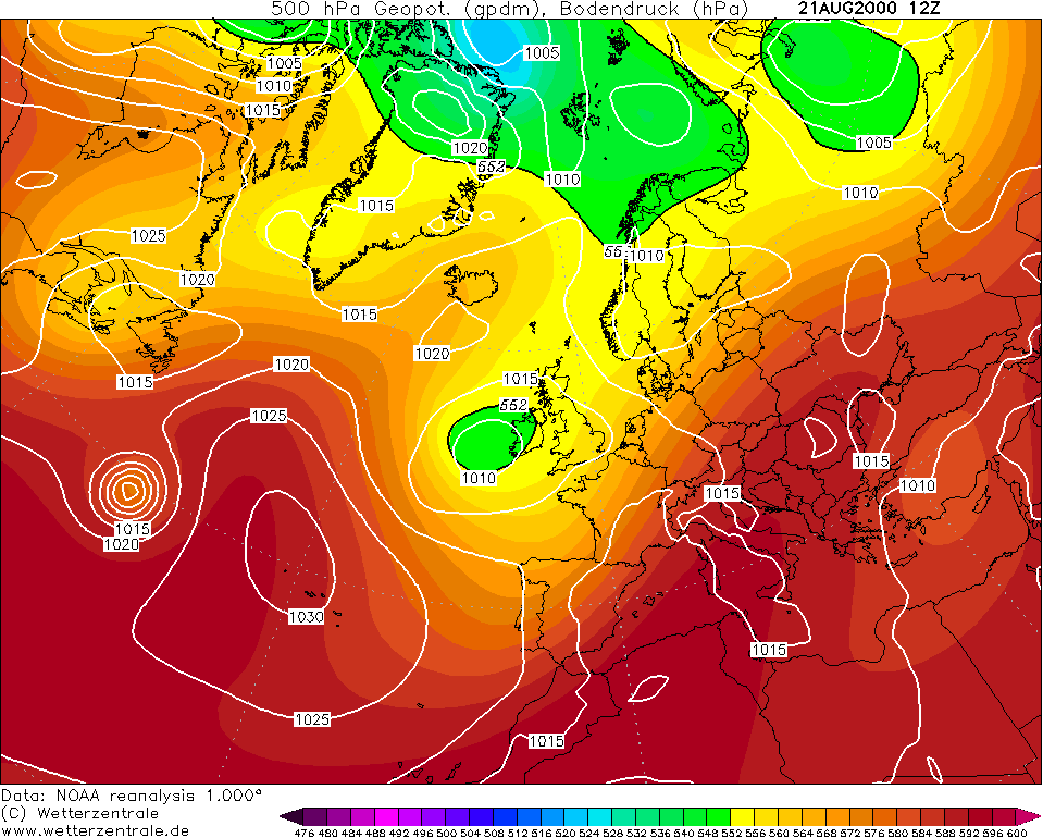
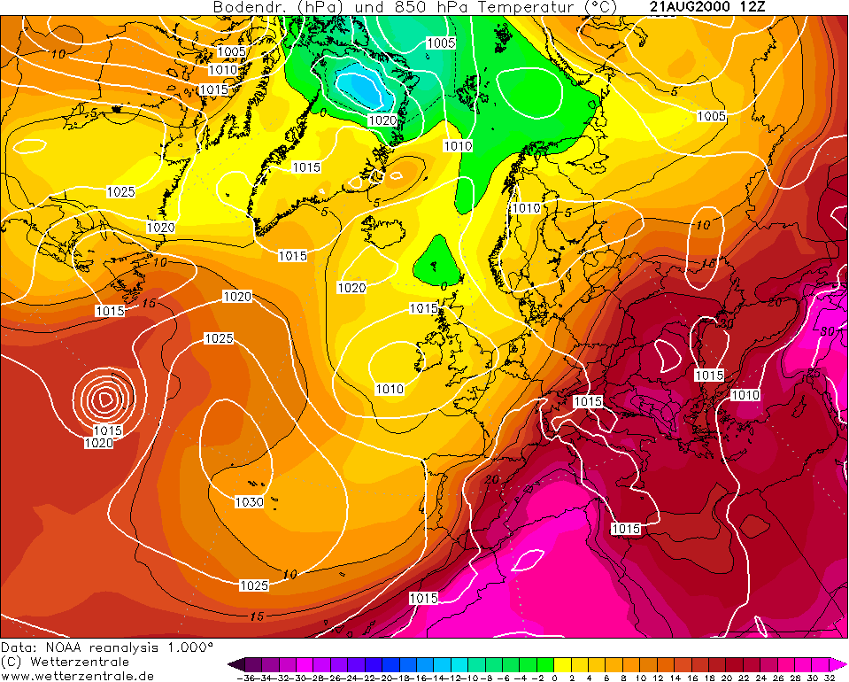
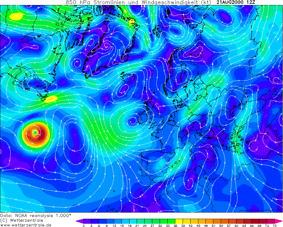
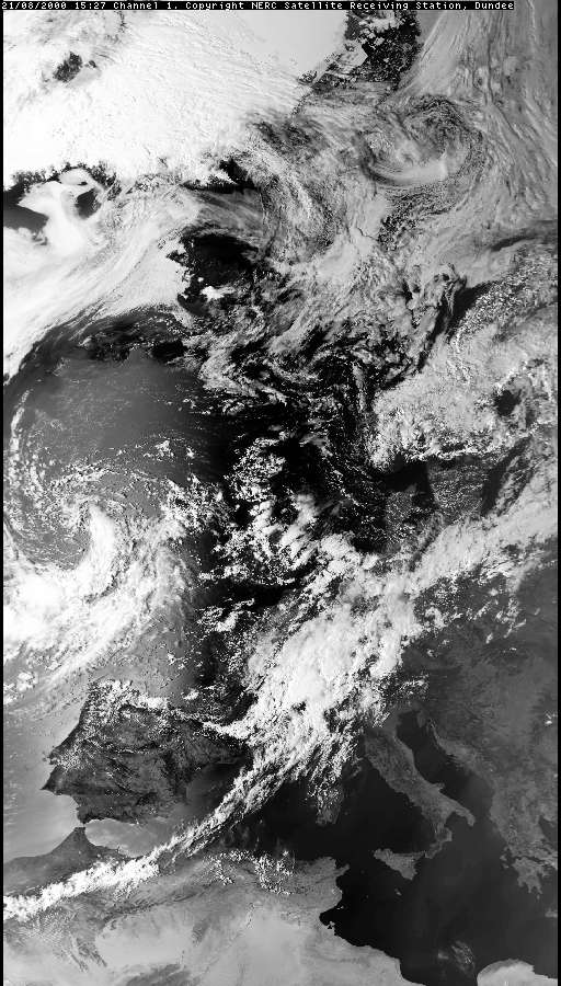
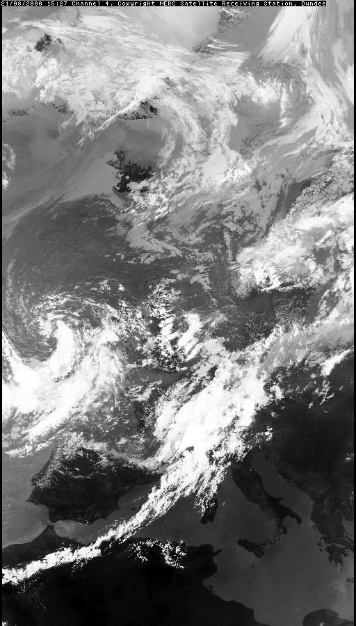
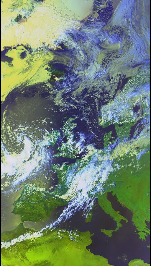
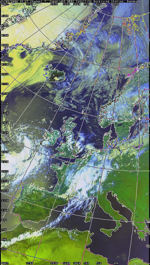
A broad upper-level trough supplied the instability whilst daytime heating provided the fuel. A long line of cells across the spine of the country developed, including this one. These were mostly situated inland and near high ground including the Pennines. Surface winds were very slack, so it may have been enhanced by sea breeze convergence given the time of day.
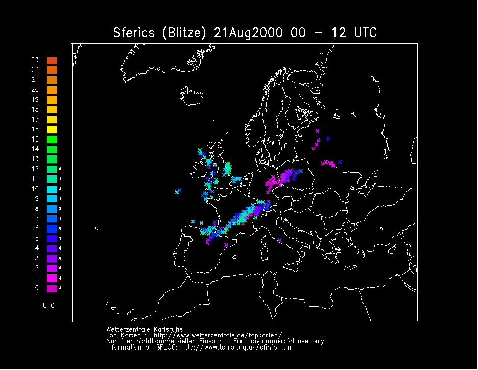
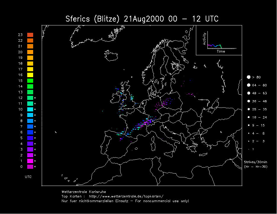
SFERICS (Credits) |

© Mark Seltzer
www.electricsky.co.uk