
![]()
|
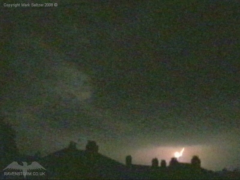
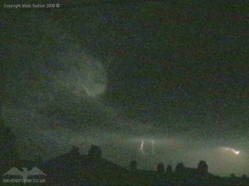
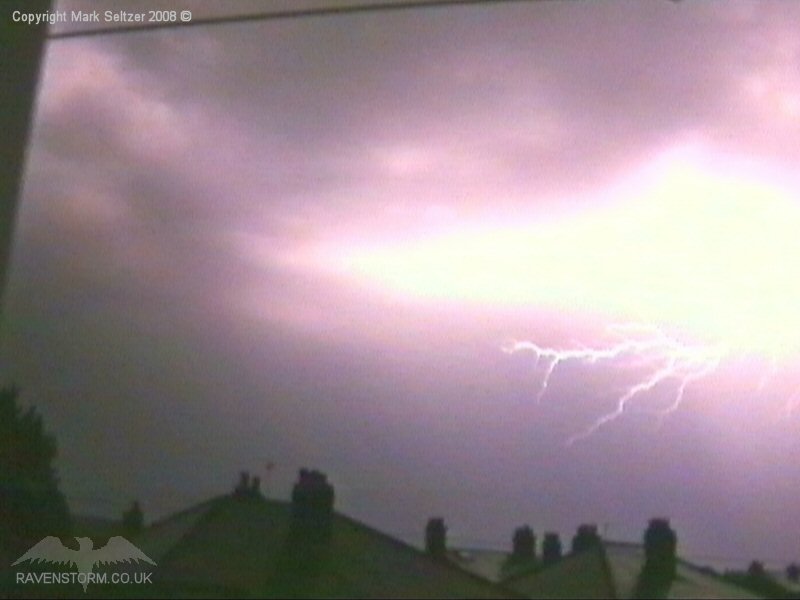
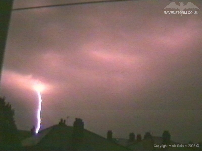
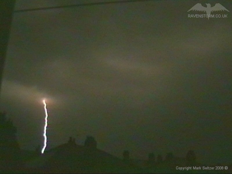
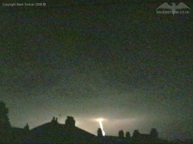
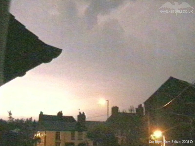
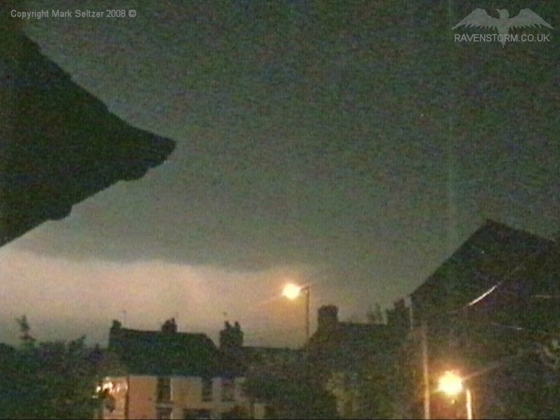
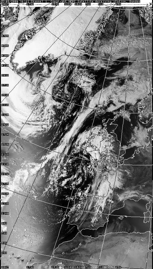
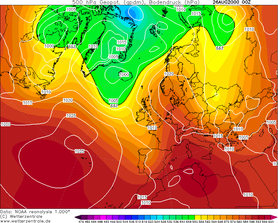
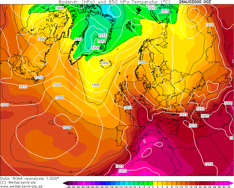
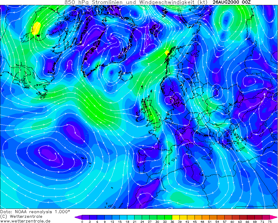
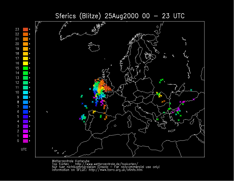
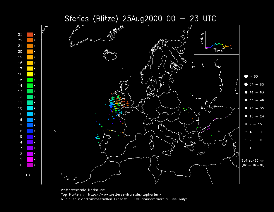
THUNDERSTORM T0035 This was a strong Spanish Plume destabilisation day, with some of the heaviest mid-level thunderstorms the west has seen in a while. The cell that came closest to Macclesfield appeared to be the strongest on radar at that time, which reached its peak as it approached the Pennines, possibly enhanced further by the orography. The night was pretty much a repeat performance of T0026 last year (another Spanish Plume MCS). We had a few weakly electrified cells roll in first, giving a few C-Gs and C-Cs with evidence of Anvil Crawlers.
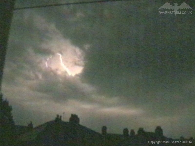
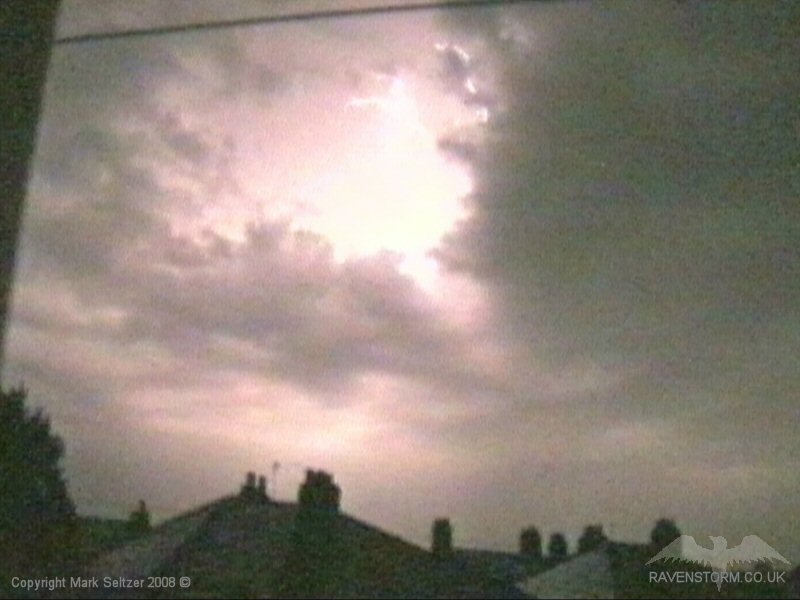
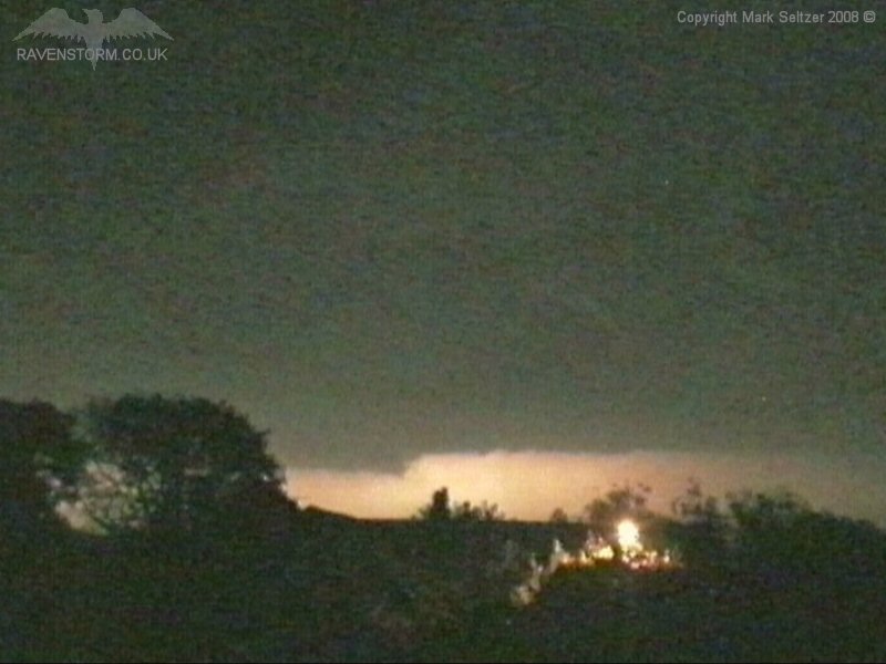
Then the back edge (south side) of the cell cluster (MCS) came in rich in very frequent I-C and return strokes. However as T0026 did, it rolled over and behind the Pennines just out of reach of Macclesfield, albeit giving almost continuous I-C lightning in the distance, like a night-raid in a war zone. Like T0026, it had an average discharge rate of 6-8 seconds at times, however the display as seen from Macclesfield was a little better than that of T0026 overall. There was a brief downpour of rain in Macclesfield as it left the area and very gusty winds.
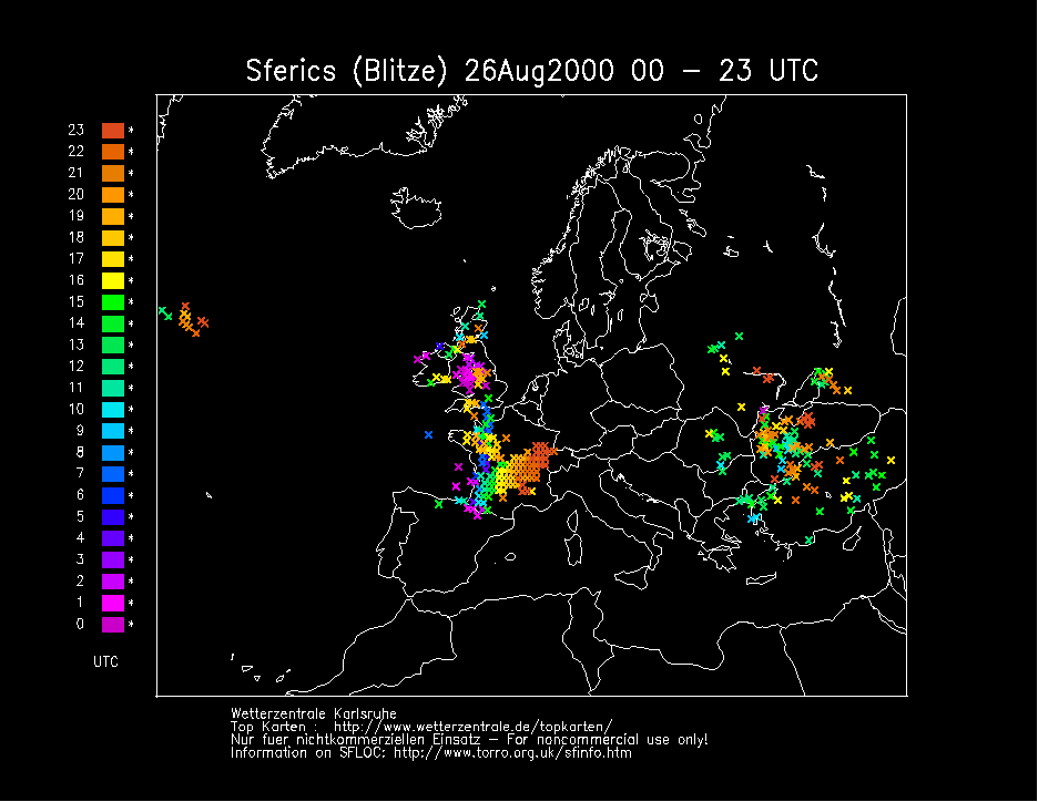
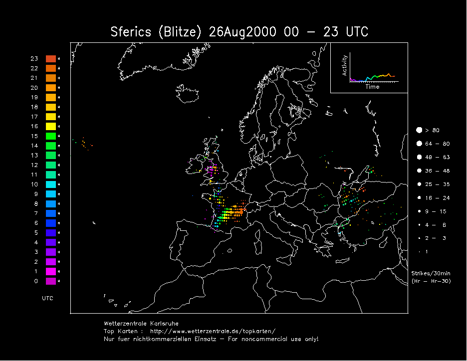
The cold front (west edge of the plume) became stationary over the spine of the UK during the following day, and would later see the development of a rather exciting and incredibly noisy surface-based T0036, probably one of the best local thunderstorm experiences I've seen.
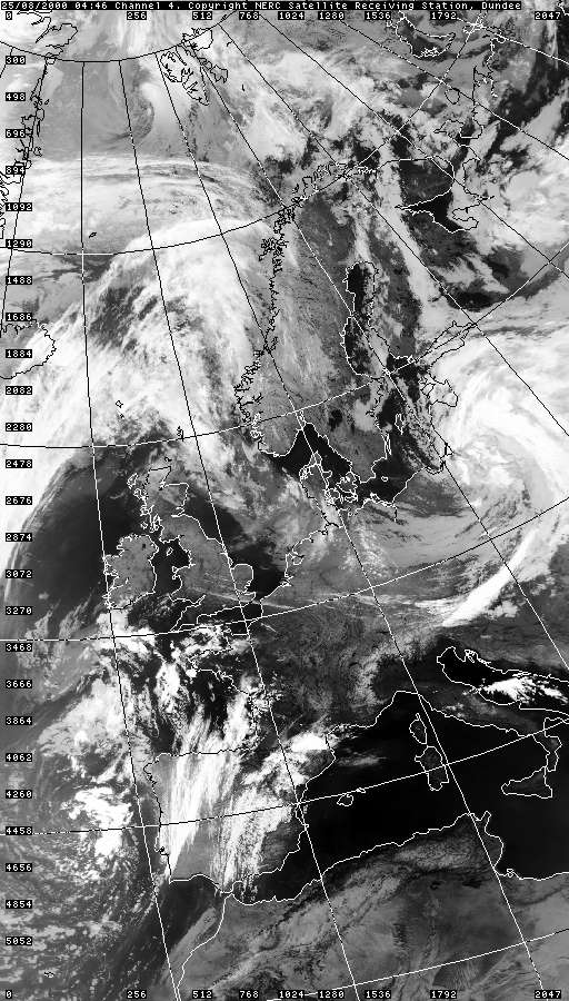
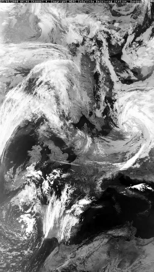
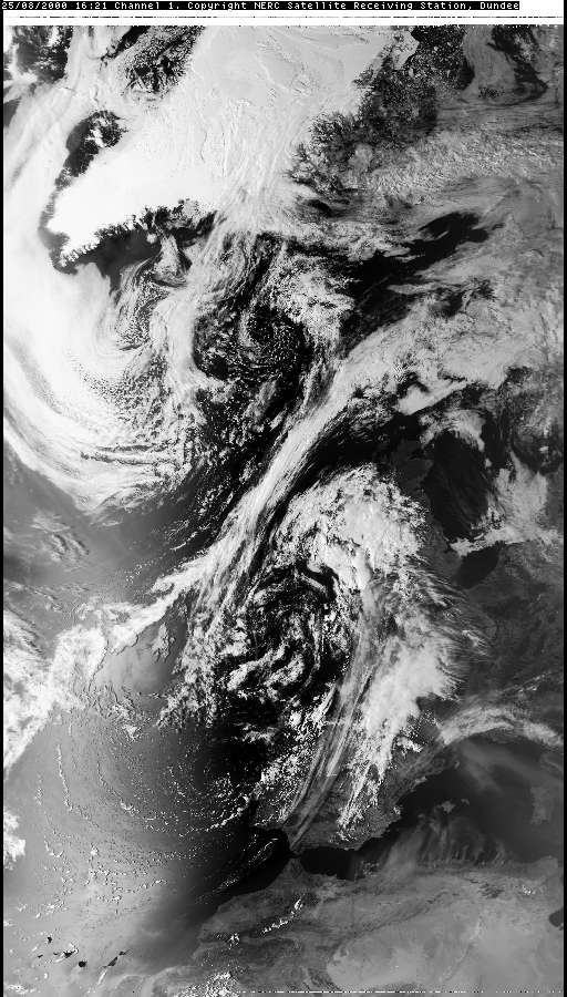
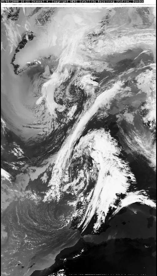
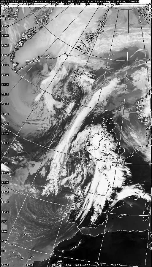
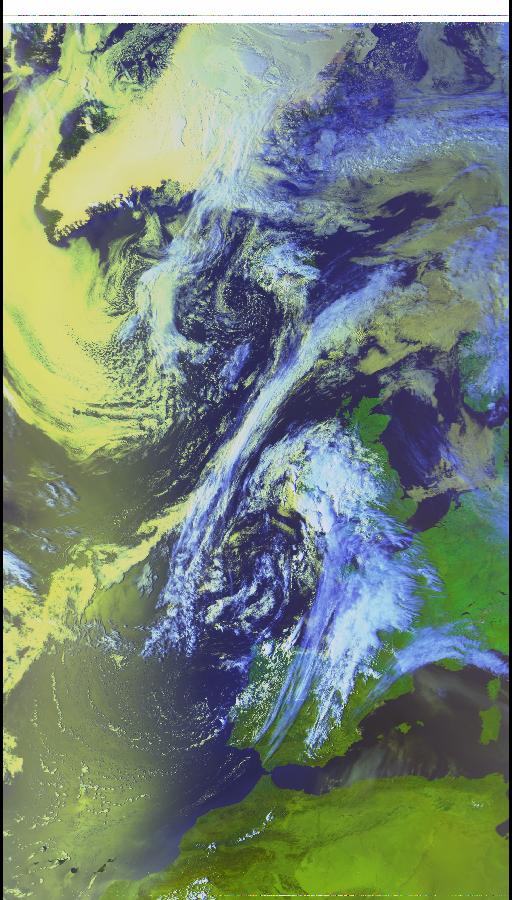
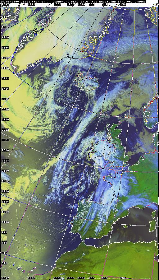
VISIBLE 25.08.2000 16:21
SFERICS (Credits) |
© Mark Seltzer
www.electricsky.co.uk