
![]()
|
THUNDERSTORM T0036
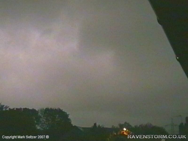
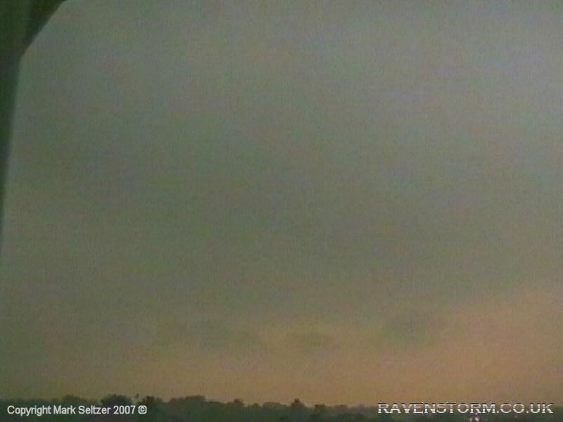
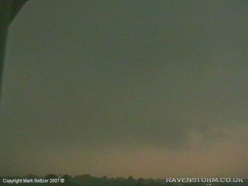
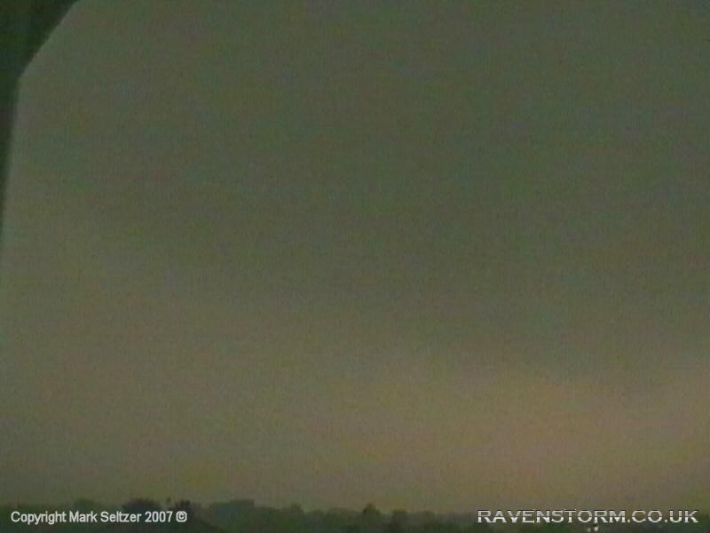
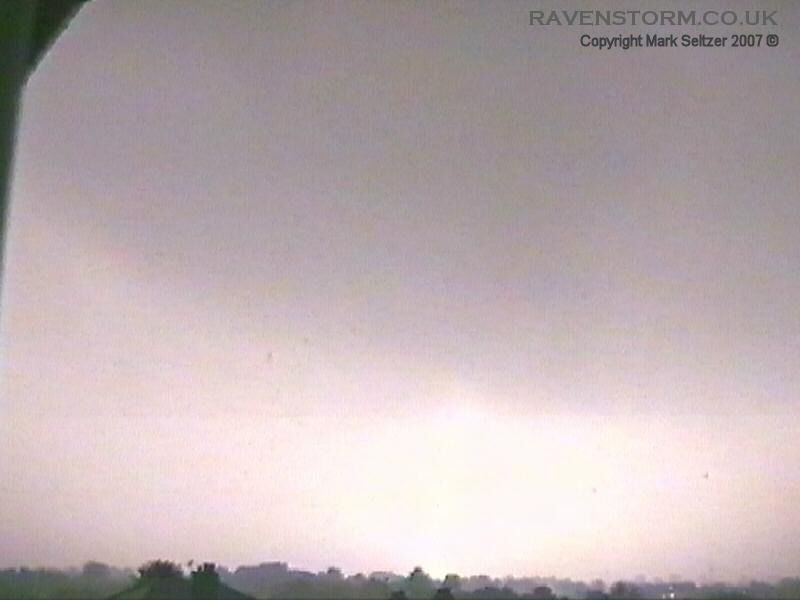
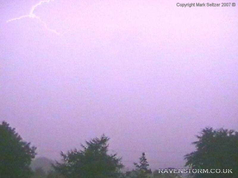
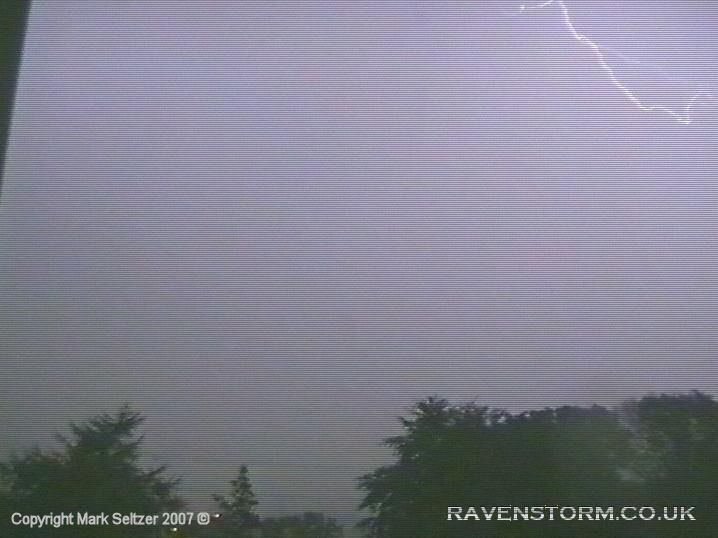
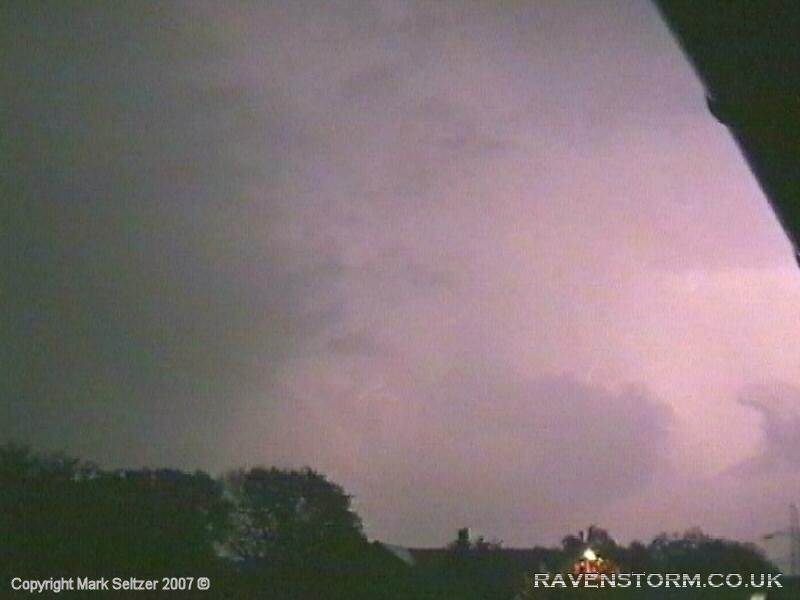
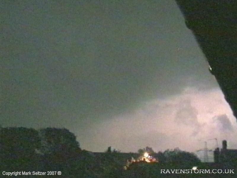
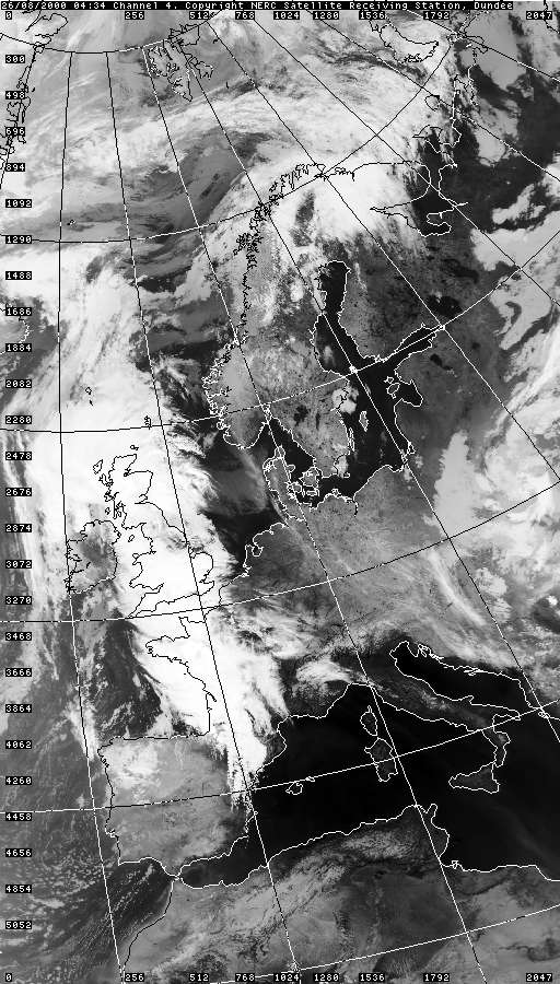
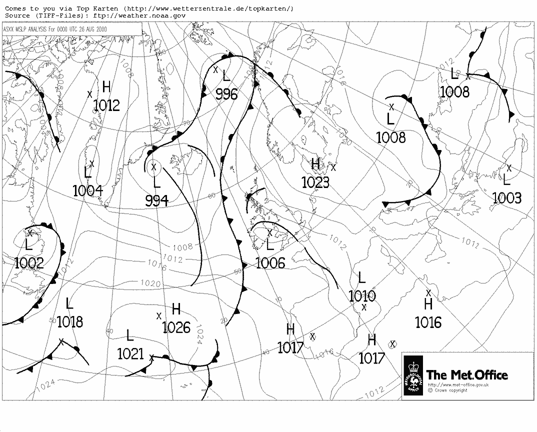
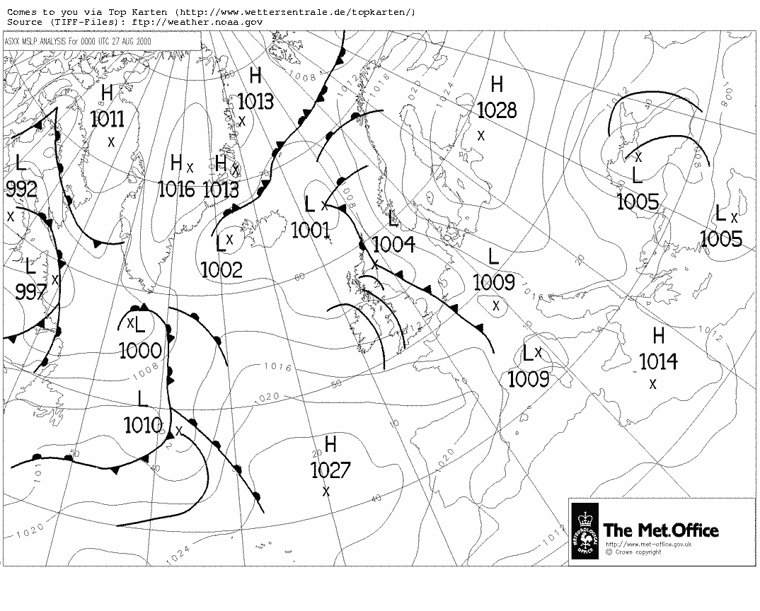
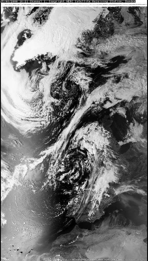
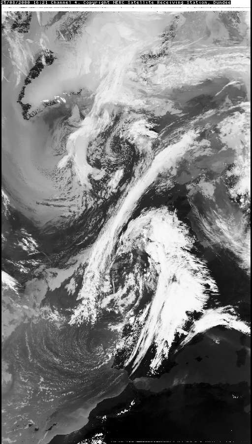
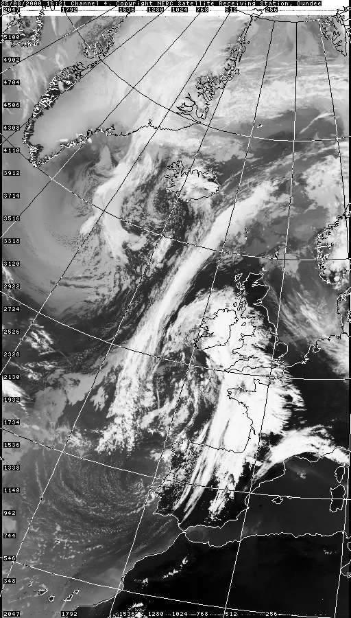
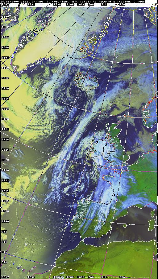
This was the “Storm of the Year”, an absolute corker, and ironically one of the most local. An Atlantic surface cold front was on approach running into the elevated Spanish plume from the day/night before (T0035). This front was disassociated from the plume itself (not the west edge of the plume). However, upper-level winds were still likely in the jet trajectory (southerly), so the wind shear at this point was likely quite large with steering flow (~850hpa) going east. So some good wind shear here. Also, in satellite data it looked like it coincided with an upper trough/PV anomaly which came up from the south. Furthermore, the low level flow was chaotic. It was overcast and low-level stratus was actually moving from north to south, so something else was going on... Preceding this, it was apparent there were two cells, also likely thundery, positioned both north and south of Macclesfield over Manchester and Staffordshire, which could be heard through distant thunders. Radar sequences showed these two cells married and merged. The observed low-level northerly was against the pressure pattern, so my hunch was this was outflow from the northern storm. So a lot going on! This storm was probably the product of double, or even triple surface outflow convergence (cold front included), good upper vertical wind shear, upper trough forcing, and plume feeding. With this amount of wind shear and compactness, doubled with the intensity of the storm, and the storm favouring CG, I'm thinking along the lines of Supercell. About 35 minutes into the show an aggressive CG barrage suddenly started overhead with 2 very close (off camera) strikes 14 seconds apart. This was then quickly followed by a monsoon-style torrential white-out, some of the heaviest rain I've seen here, then further CGs thereafter.
Unfortunately most of the CGs were out of the camera’s view, although the thunders were IMMENSE. On a personal note, I remember my mum had just a couple of minutes ago left the house to walk to work in the rain, I feared for her life! Luckily I think she grabbed a lift half way...
The storm showed sustainability and changes in its characteristics as it rolled over the Pennines. The CGs eventually turned into C-C and I-C as the cell grew more mature and the charge spread itself up and outwards, and then the discharge rates dropped as it rumbled off into the distance. Unfortunately, apart from the sound and lightshow, the footage wasn’t as good as I was hoping for three reasons; 1) it was right overhead and difficult to chose which direction to point in (kept missing CGs), 2) I was aiming for CGs that were no longer happening (so lots of C-C missed), and 3) the visibility was very low due to the intense downpour.
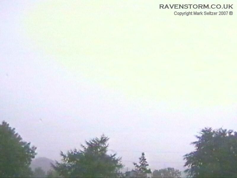
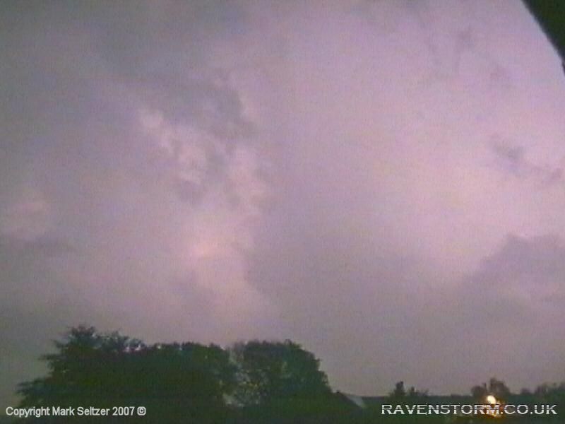
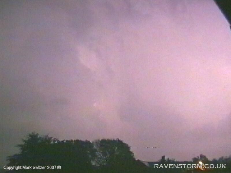
However, the icing on the cake was the ambience of the storm itself. It’s not often we get thunderstorms in the fading evening light, and those which do occur are great as the lightning shows up brilliantly against the cloud formations, and the senses you get from the natural ambience of a quietening busy Earth is much stronger. This is the type of storm I hope to see more of. This was the last storm for 2000, and what a way to go out!
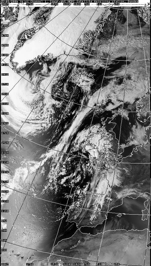
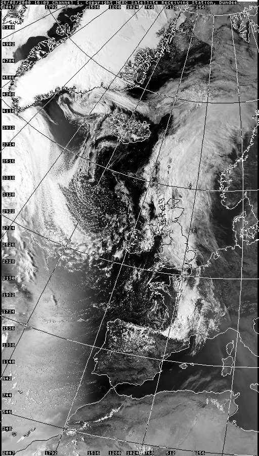
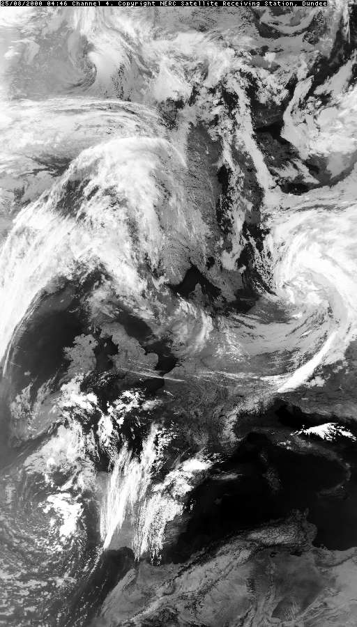
VISIBLE 25.08.2000 16:21
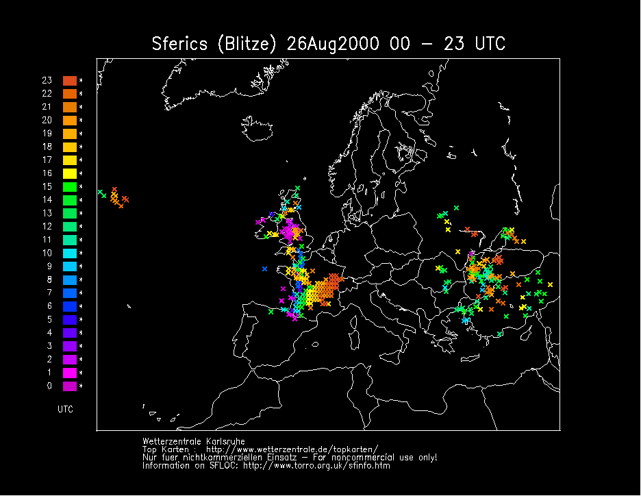
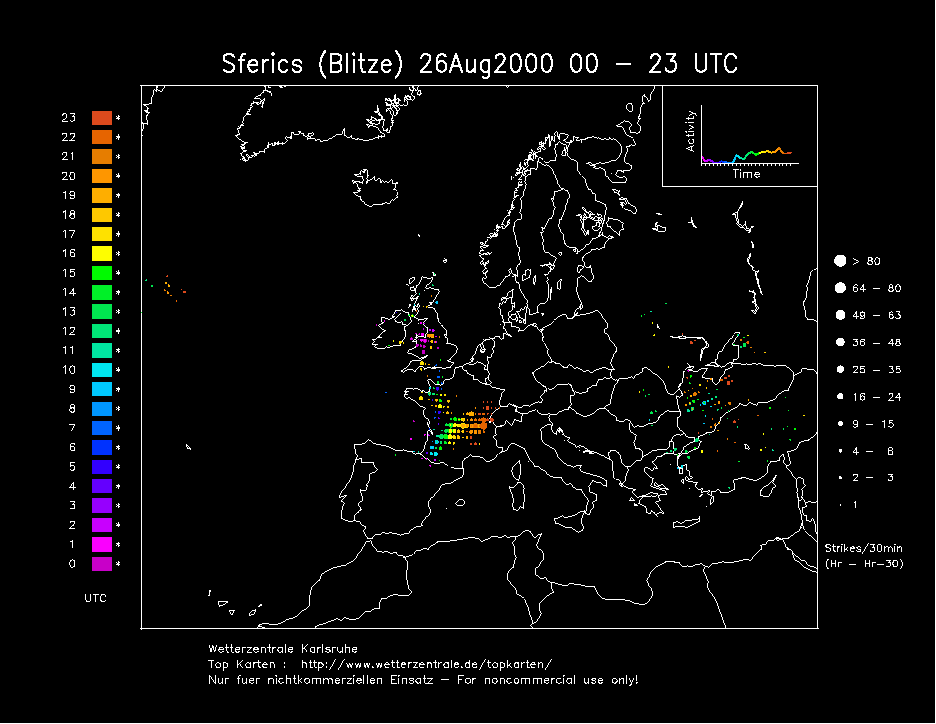
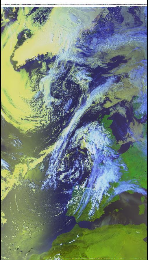
SFERICS
(orange crosses for T0036, purple for T0035) (Credits) |


© Mark Seltzer
www.electricsky.co.uk