
![]()
|
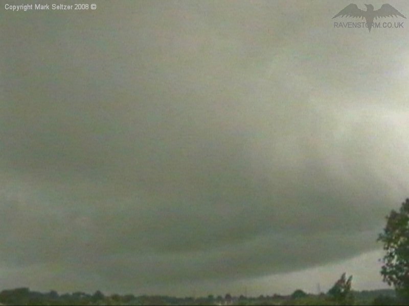
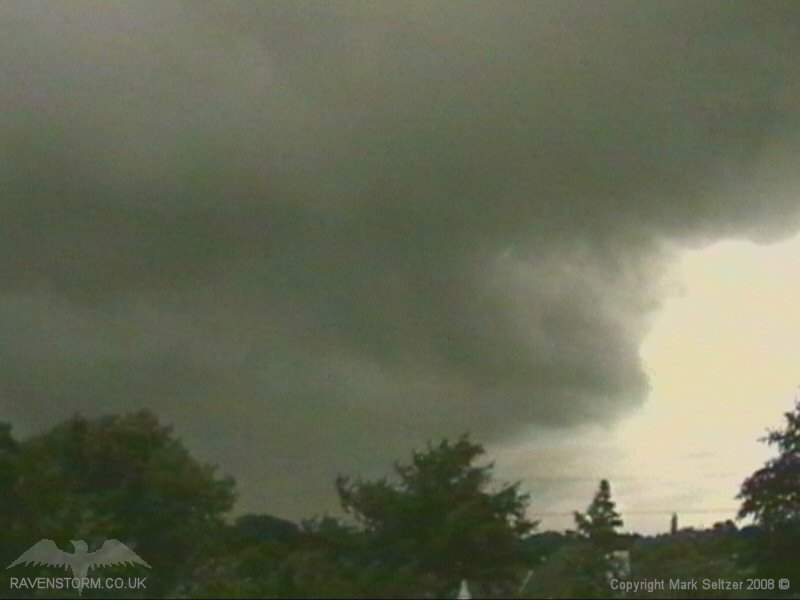
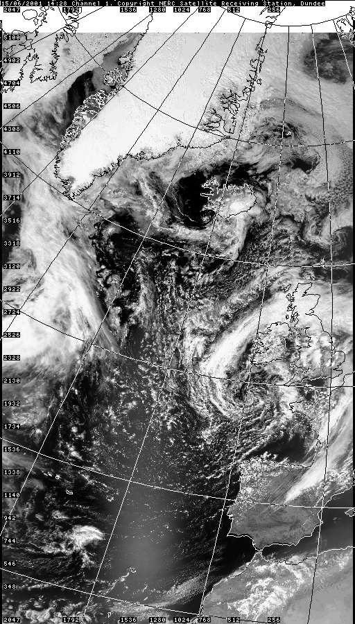
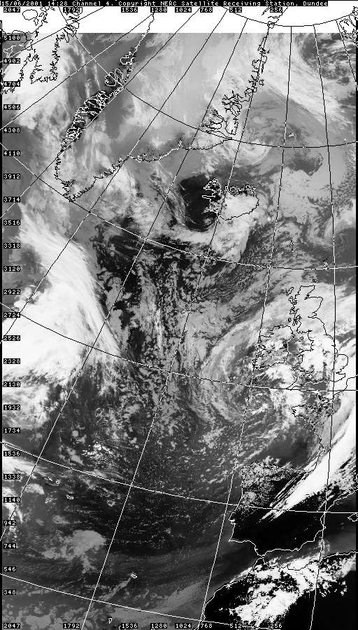
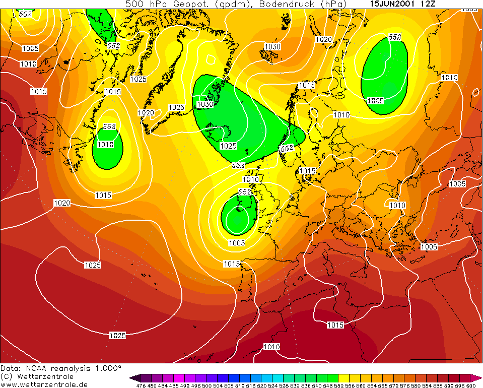
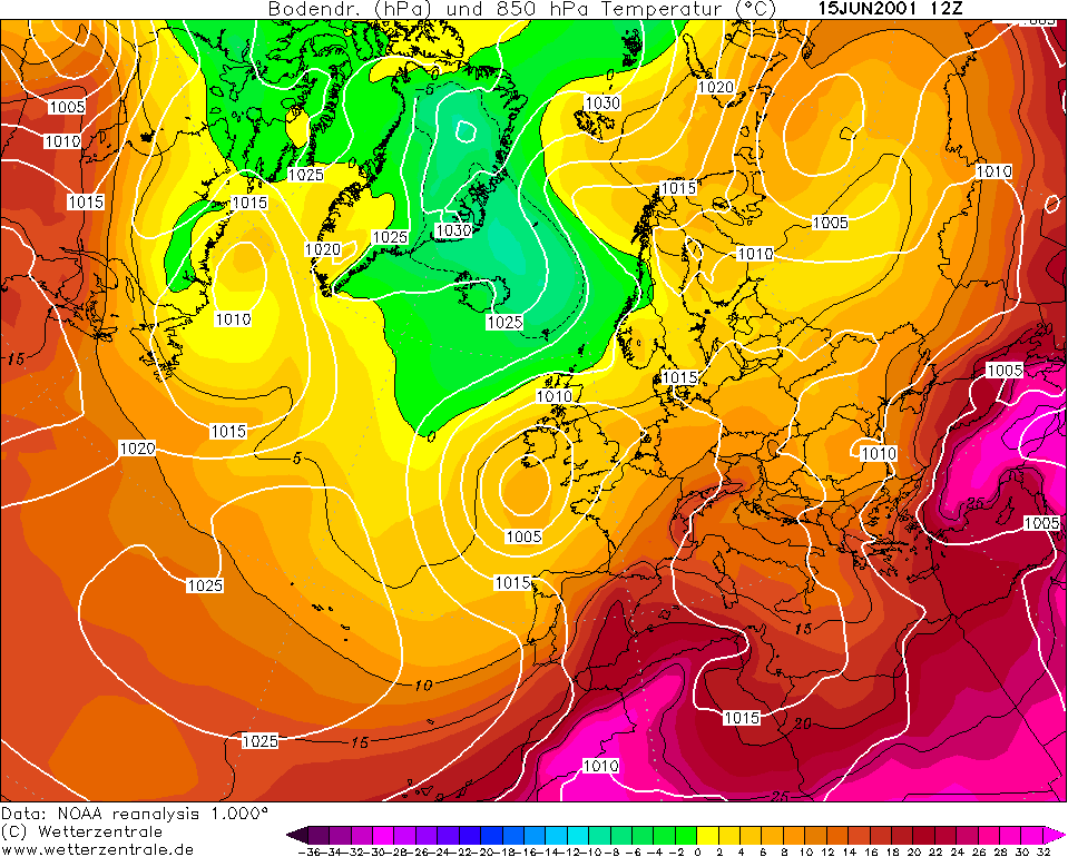
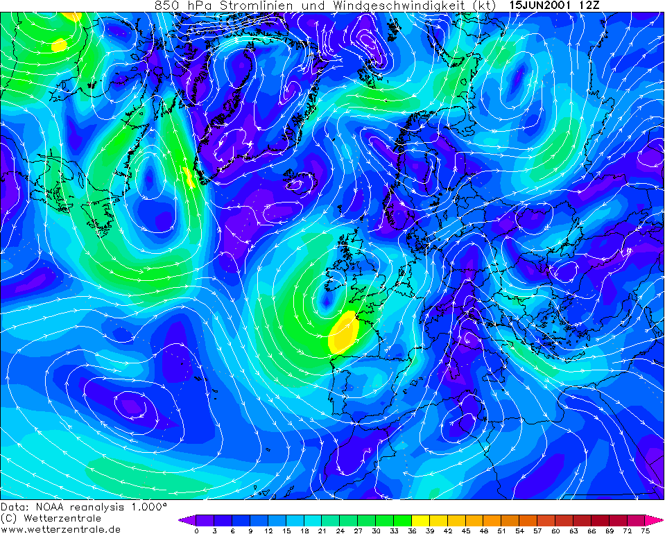
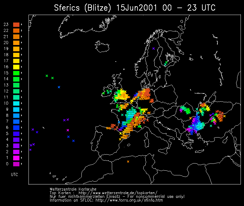
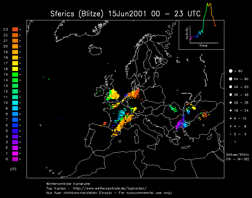
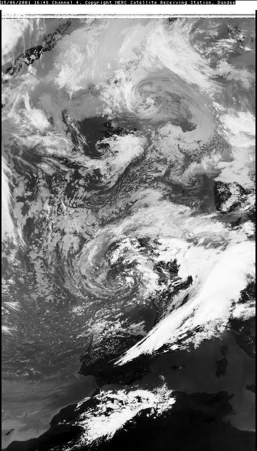
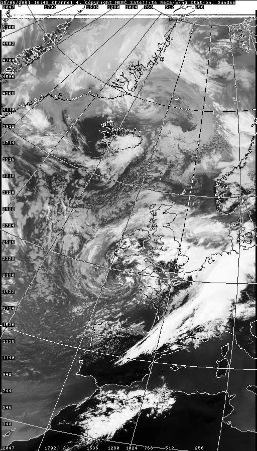
THUNDERSTORM T0037 Not much to tell on this one. I caught sight of it as it trundled just to the north-west of Macclesfield. The environment was very unstable with land heating in a returning tropical maritime airmass, immediately after an occlusion passed (wet ground, lots of fresh water vapour). It was also quite close to the low centre so the upper air was likely reasonably cold. Looked like there were some fairly active thunderstorms across the country, most of which missed the Macclesfield area. The cloud bases were quite low that day reflecting the high dewpoint in seasonally average temperatures.
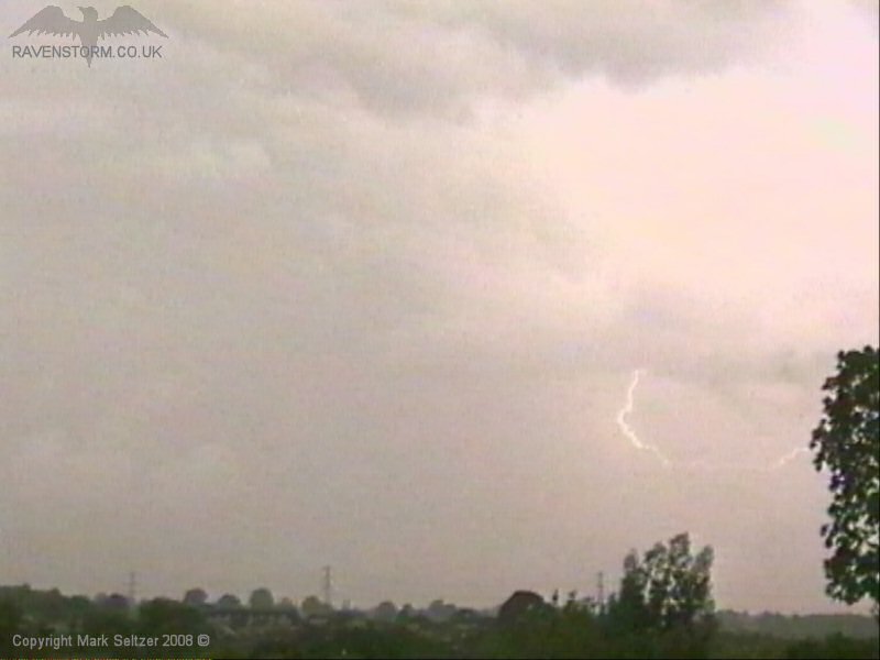
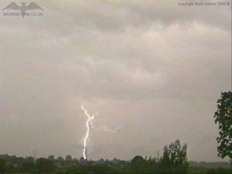
The cell that came closest was still in its developing stage and wasn’t very electrified, however it managed to give a distant C-G and C-C strike that made sure it landed up in the storm archive.
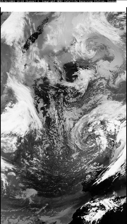
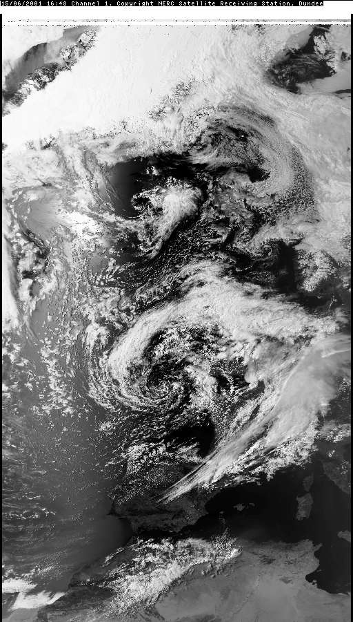
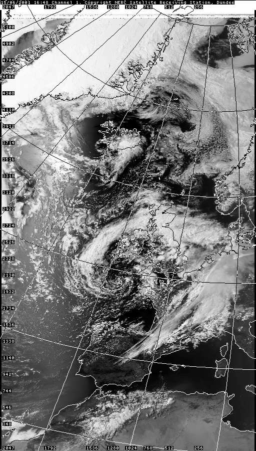
VISIBLE 15.06.2001 16:48
SFERICS (Credits) |
© Mark Seltzer
www.electricsky.co.uk