
![]()
|
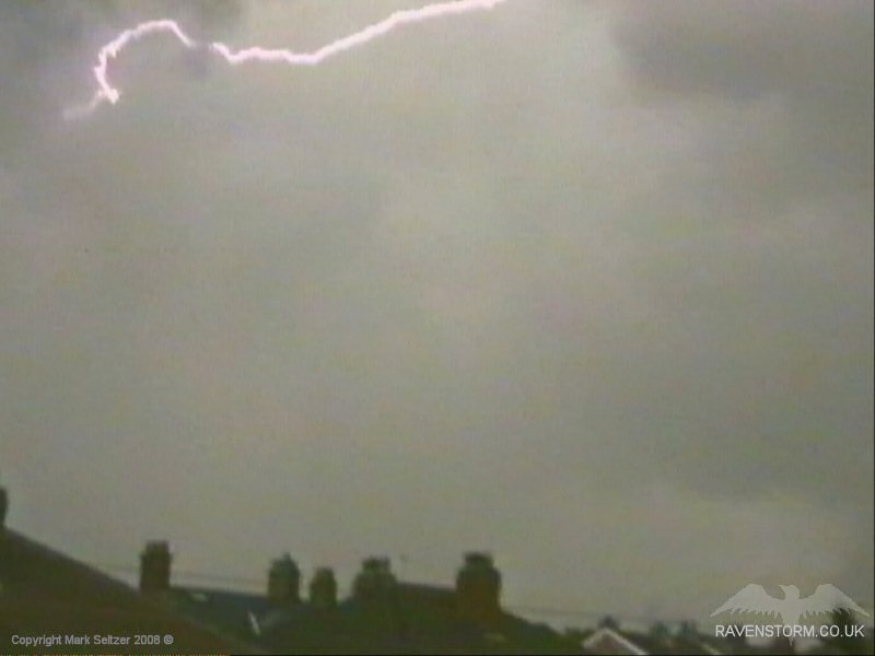
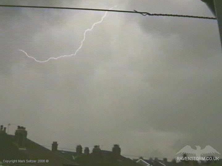
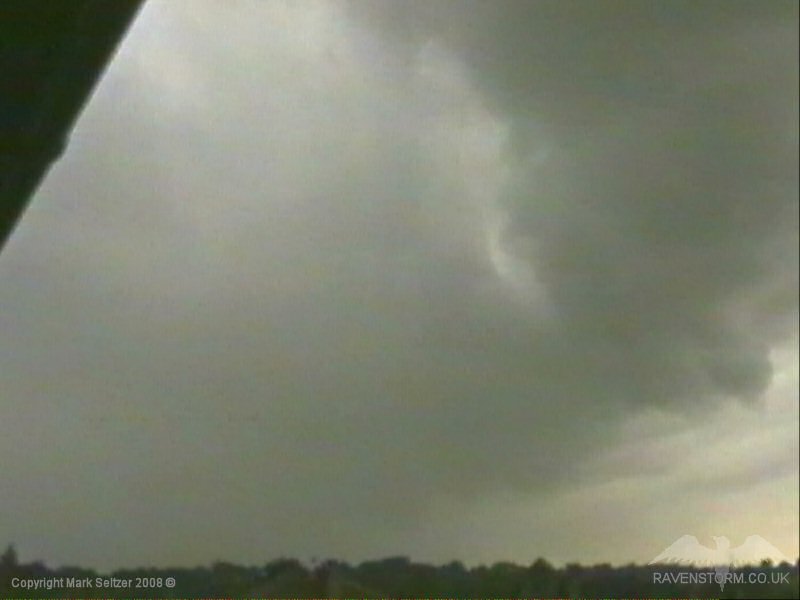
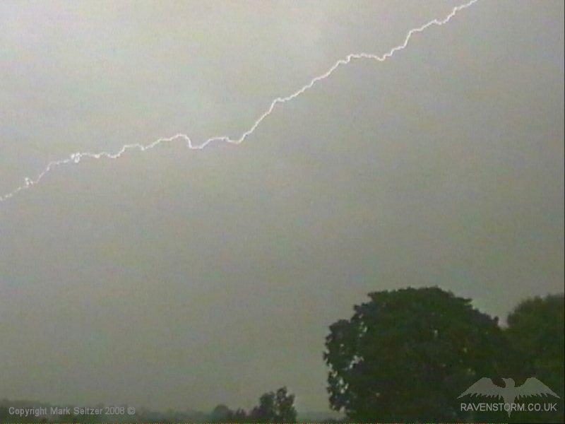
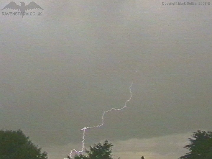
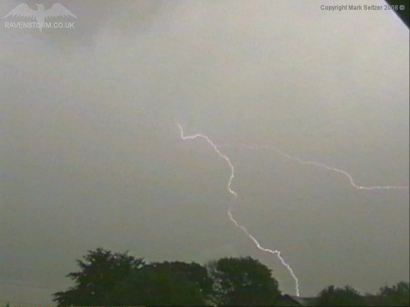
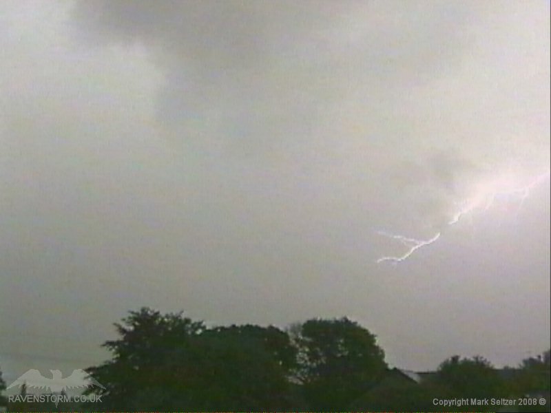
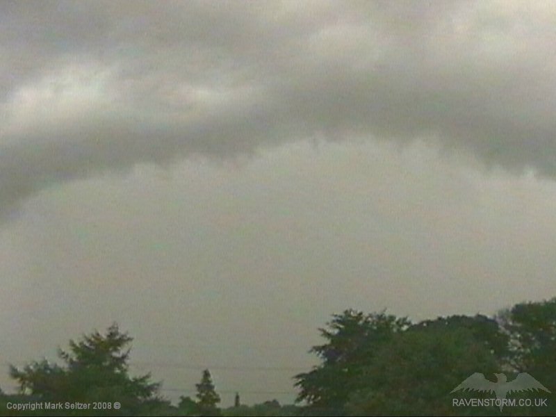
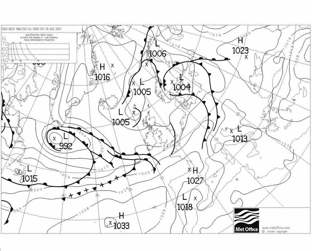
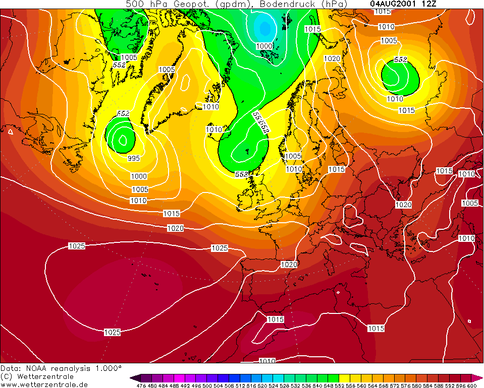
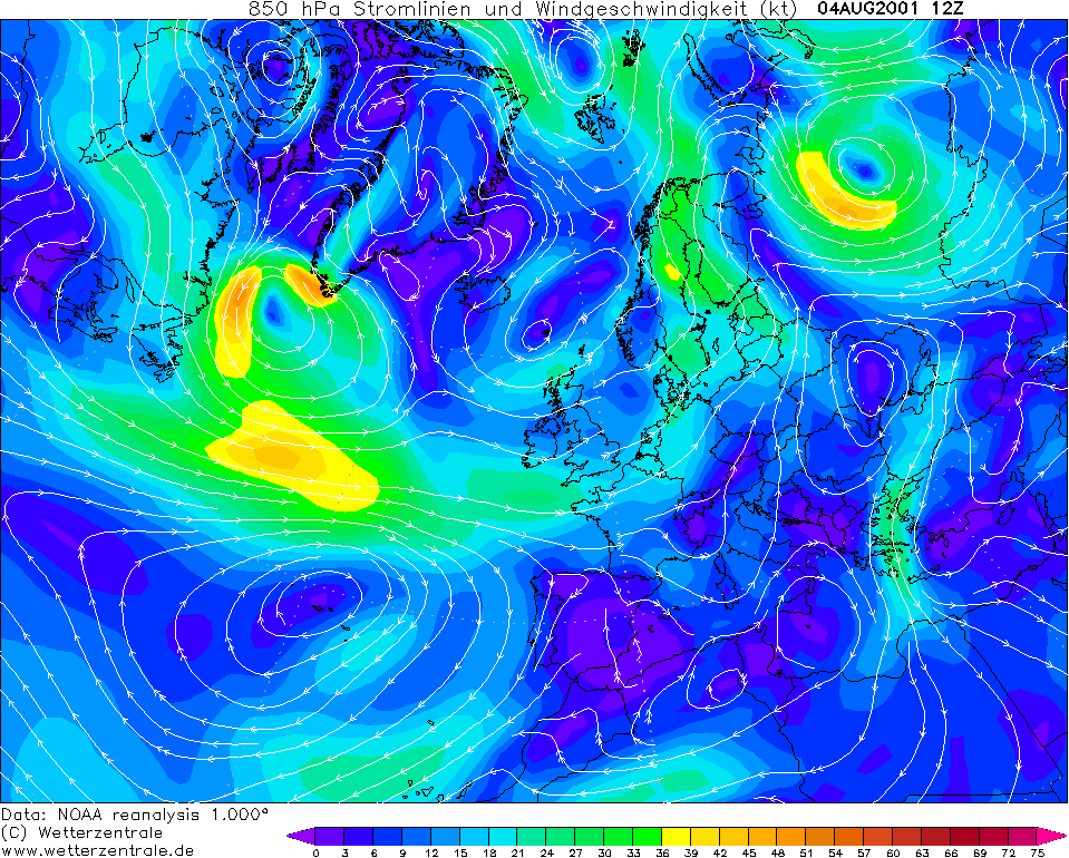
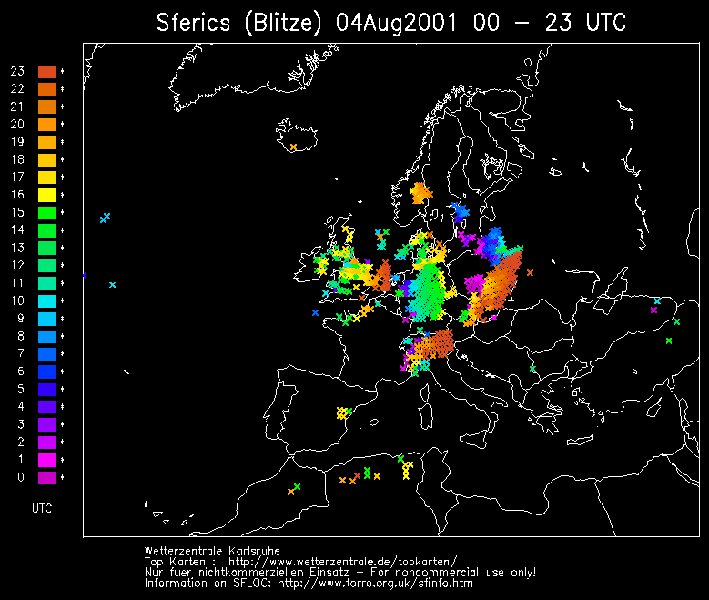
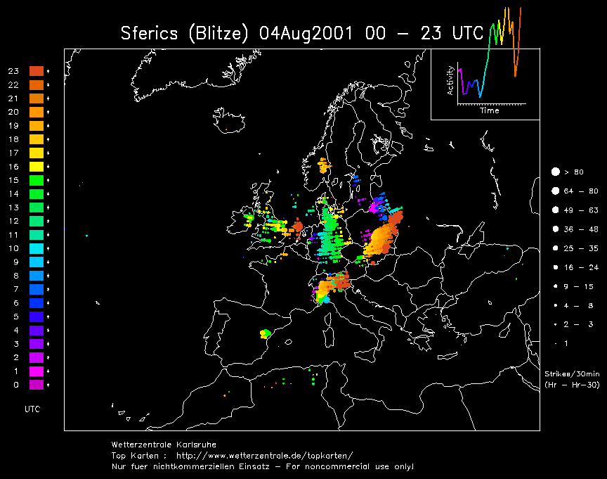
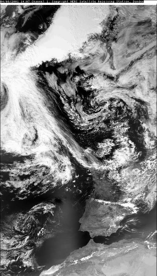
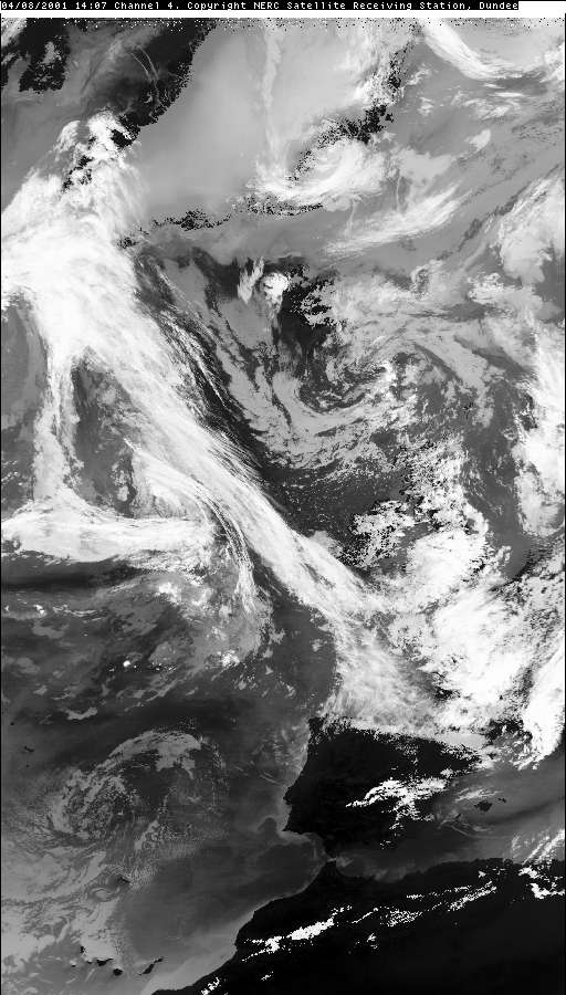
THUNDERSTORM T0038 This was one of the more unconventional thunderstorms you get when a mini-occlusion (or cloud head / trough associated with a triple-point) becomes more active when it runs into land and lifts warm air. This particular cell formed on the top end of the trough/occlusion wave which gave it a long leading-edge to its north side as it pivoted upwards. There was evidence of a linear arcus cloud advancing north, so perhaps outflow from the occlusion into the pre-existing unstable airmass triggered this event. The discharges were almost all from under the base (no I-Cs) and composed of weak C-Cs and a couple of C-Gs. It rolled right overhead and had a persistent discharge rate showing uniform and steady development.
There was a stroke of luck with one C-G shot which happened to the north of Macclesfield right in the centre-frame of the camera, which incidentally was a new angle right after I moved it from a C-C streak filmed to the south. The C-G appeared to fall into dry air on the footage, but it was more likely that it was right on the leading edge of the rain curtain which was just overhead at the time of strike, as the visibility in the northerly direction was very good.
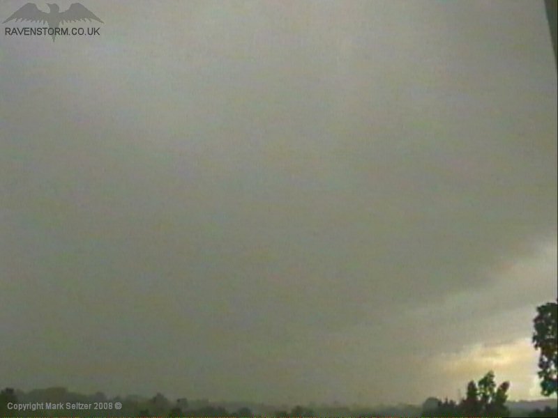
The storm continued to do it’s thing as it rolled NE over the Pennines.
SFERICS (Credits) |

© Mark Seltzer
www.electricsky.co.uk