
![]()
|
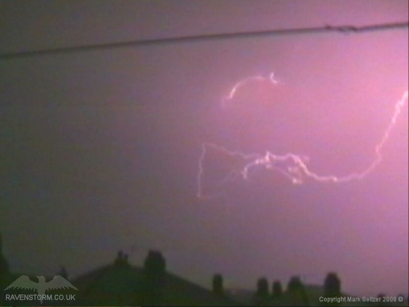
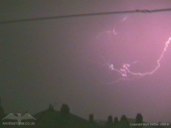
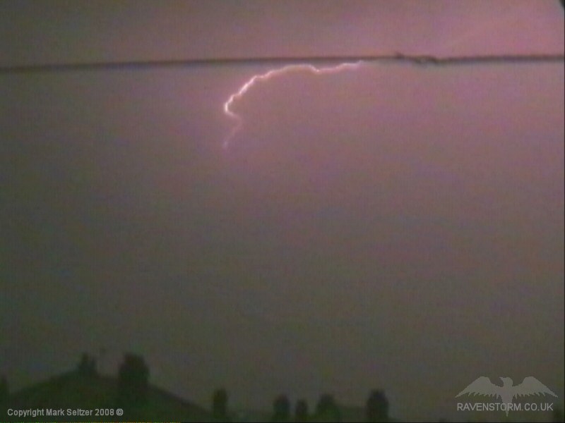
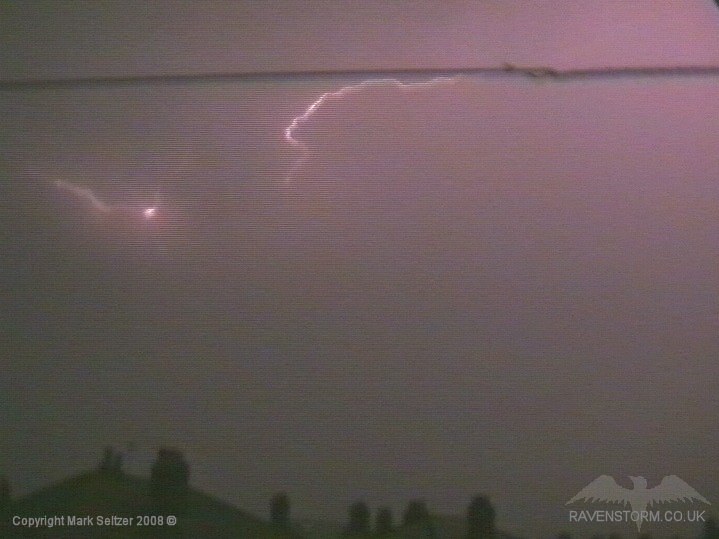
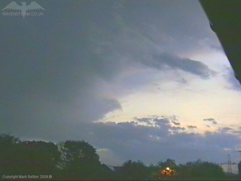
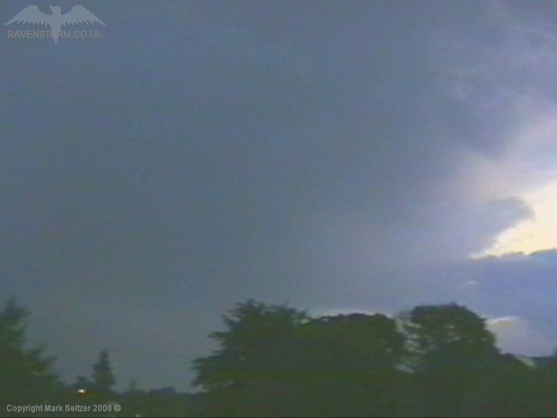
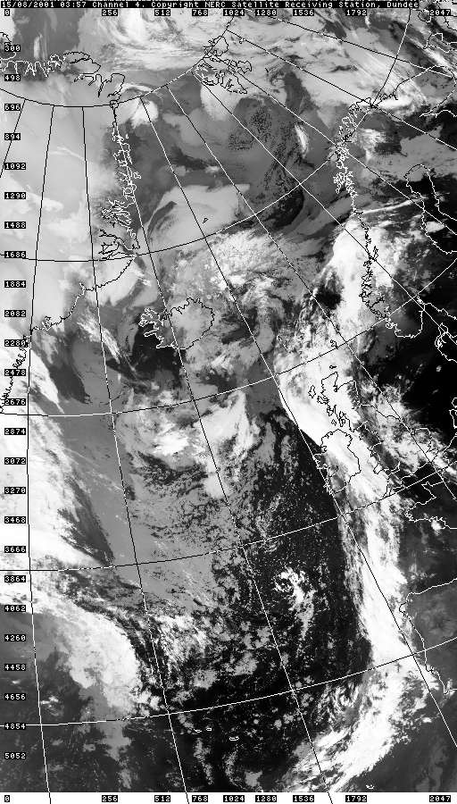
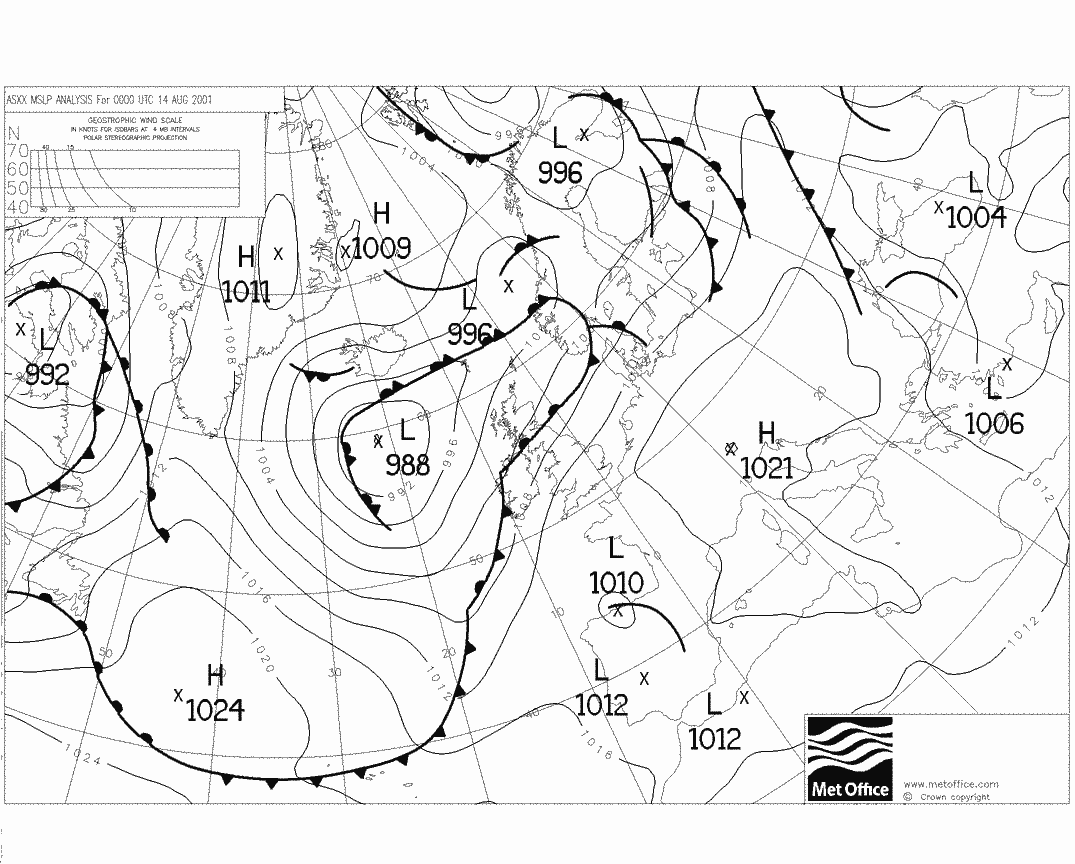
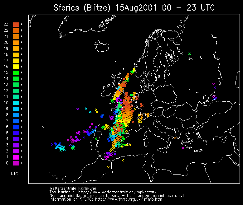
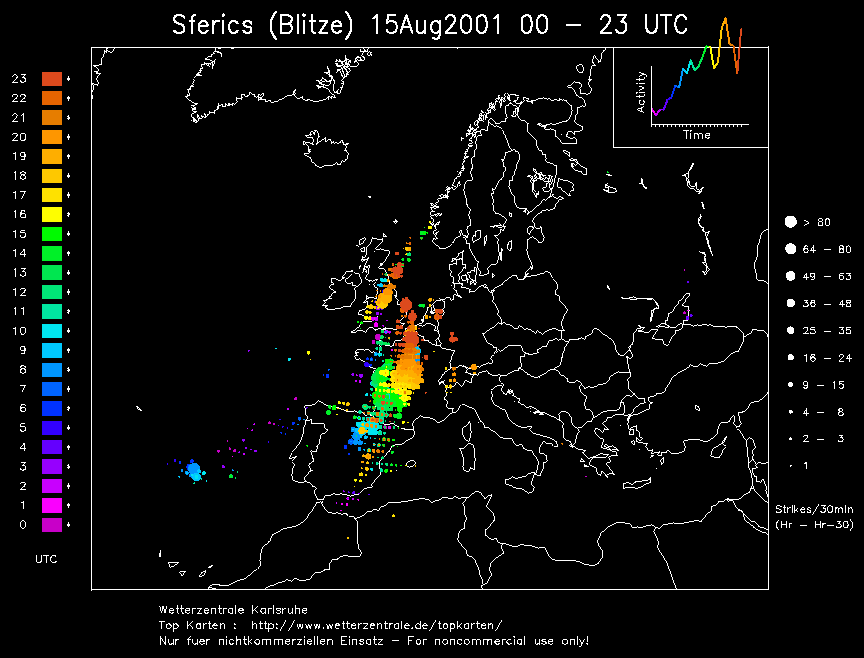
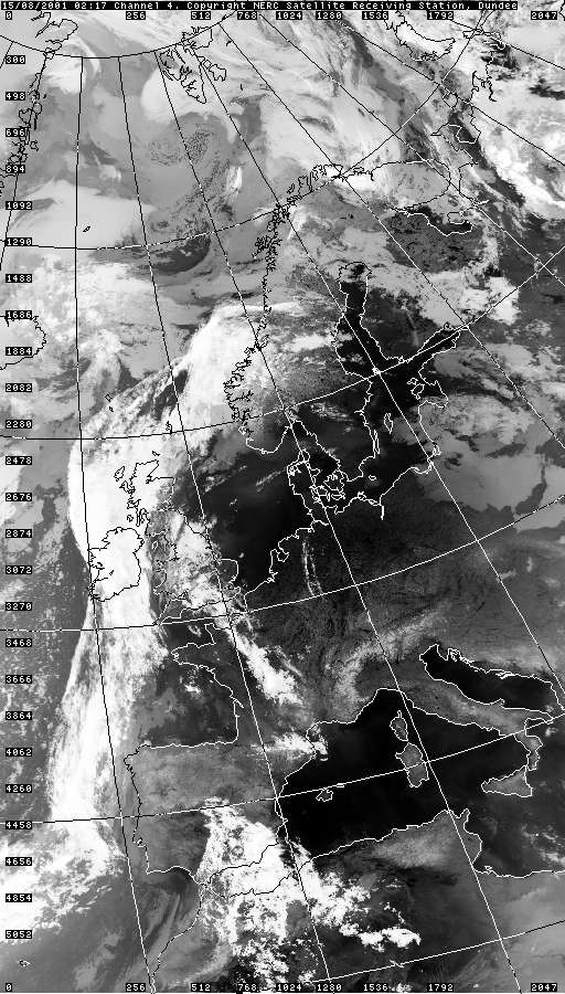
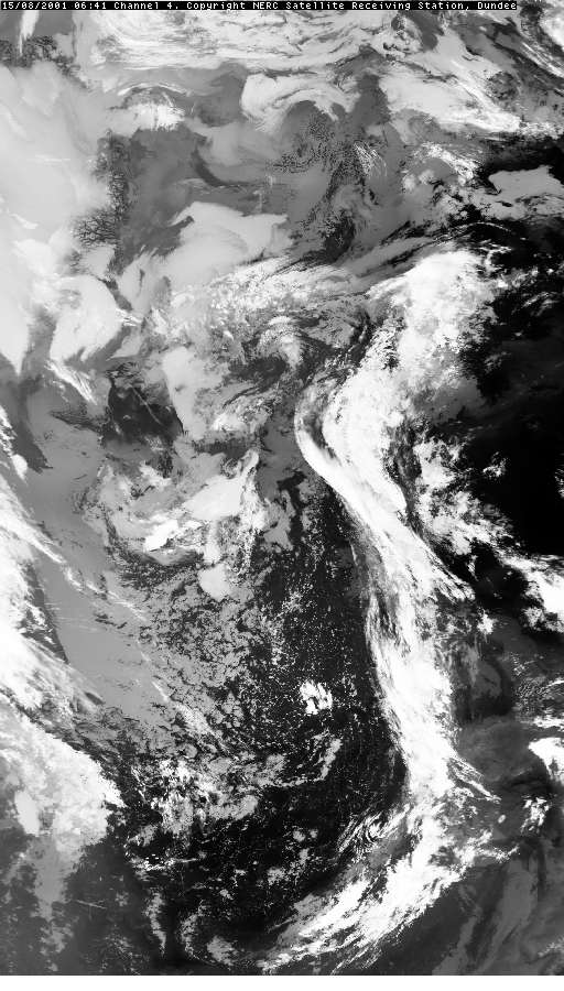
THUNDERSTORM T0039 This was very short-lived and dissipated almost as soon as it woke me up in the early hours. A pulse of showery activity broke out ahead of a cold front to the west as a Spanish Plume whistled up over the country. The cloud bases were evidenced quite high as the Sun started to rise after the storm had dissipated.
Before dissipating it gave a couple of close C-C discharges and then fell silent. Unfortunately I only noticed afterwards that the camera was slightly out of focus. It was a challenge as my eyes weren’t even in focus at that time of the morning! As the Sun rose in the east the silhouette of the dissipating anvil head and associated altocumulus was seen as the activity drifted northwards.
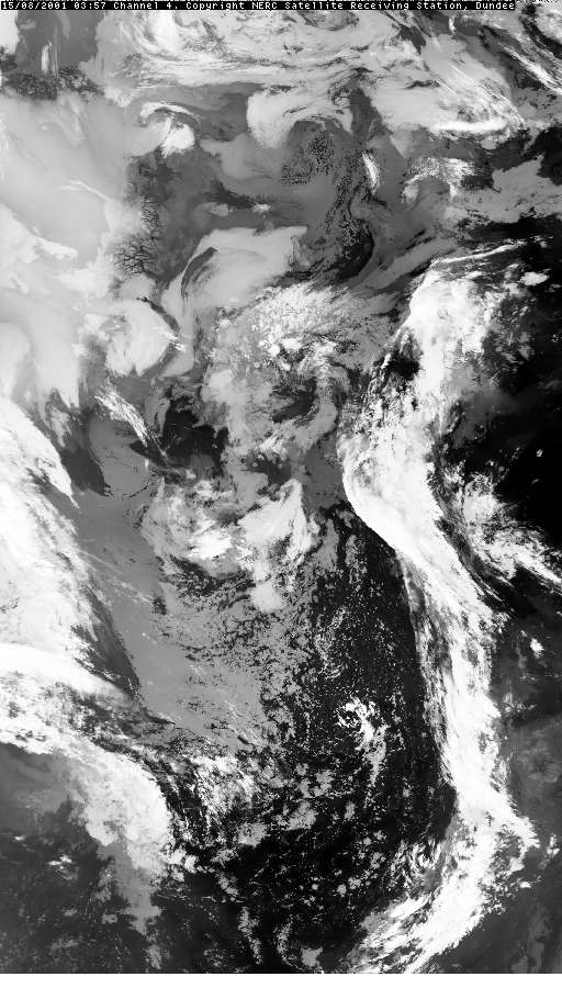
Later on in the day the Atlantic cold front approached into the plume and dragged T0040 up from the depths of the south west, a much more substantial storm.
SFERICS
(purple markers) (Credits) |


© Mark Seltzer
www.electricsky.co.uk