
![]()
|
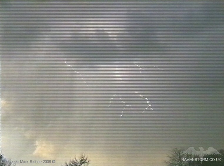
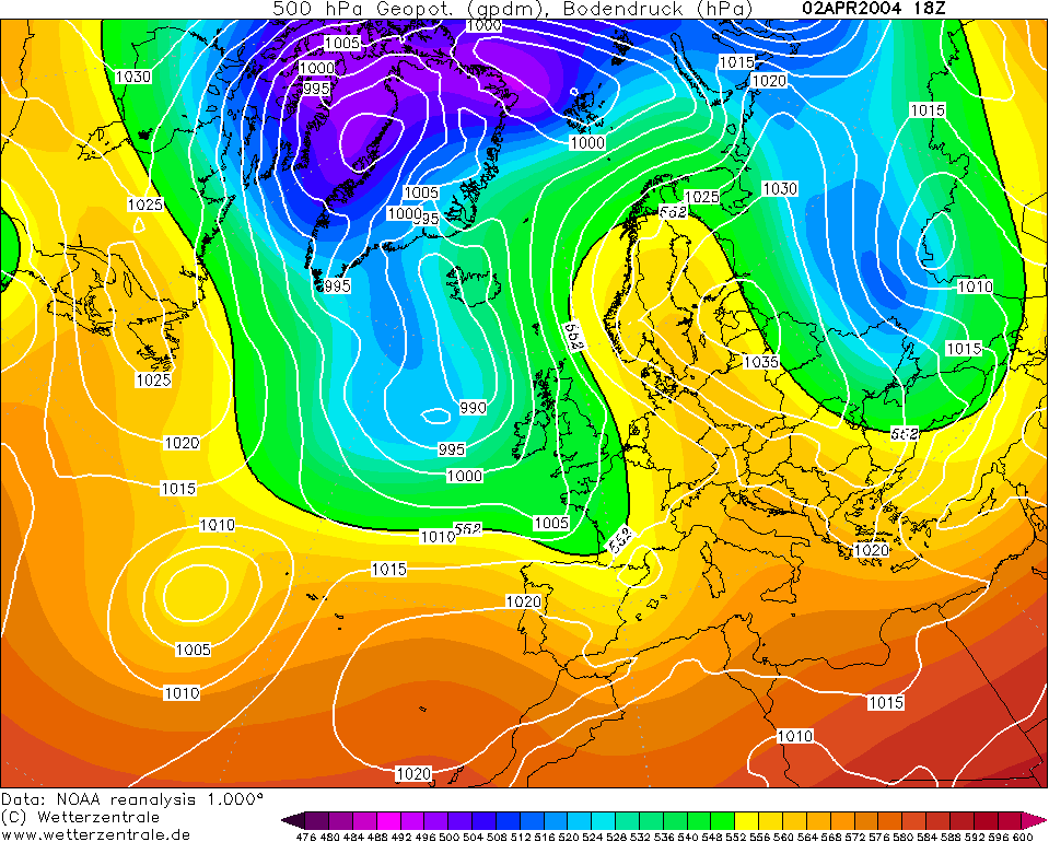
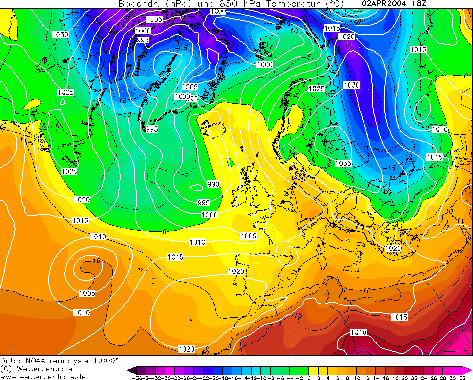
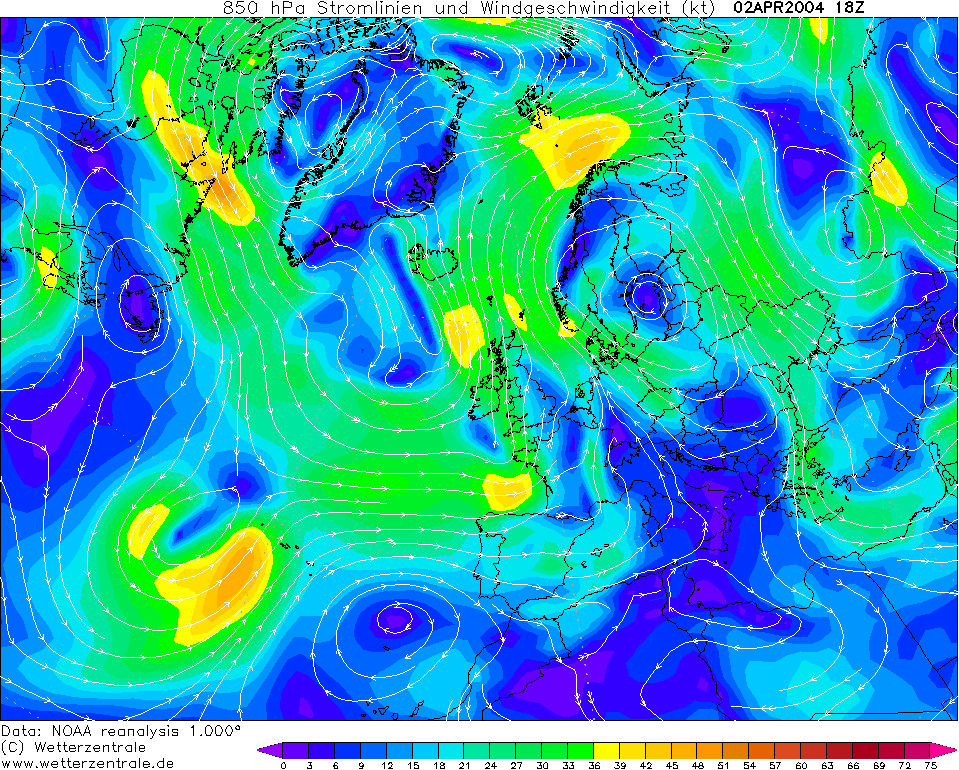
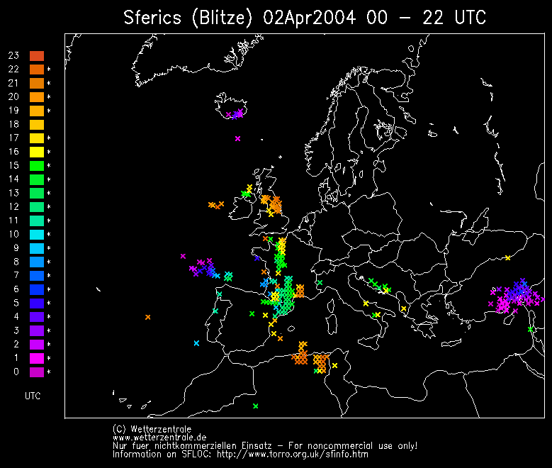
THUNDERSTORM T0047 This was a pretty storm, in that it was a developing singlecell in cool and relatively dry early spring unstable air. This cell gave a cheeky four discharges in it’s time over Macclesfield but two of them were rather pretty as the blue sky and wispy wintry precipitation curtains were also present in the shot due to the high cloud base.
It continued developing as it went northwards into a more energetic storm. There was a brief pea-sized soft hail shower as the storm started and went over, and virga was present as the precipitation evaporated readily.
Although the development was slow, the anvils of surrounding cumulonimbus cells were pretty spectacular and well-spread, and with some of them you could see right through the base due to virga. A nice (and rather early) start to the storm season.
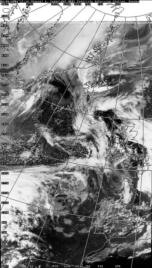
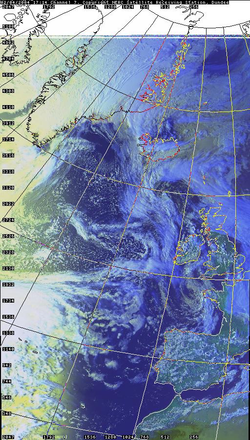
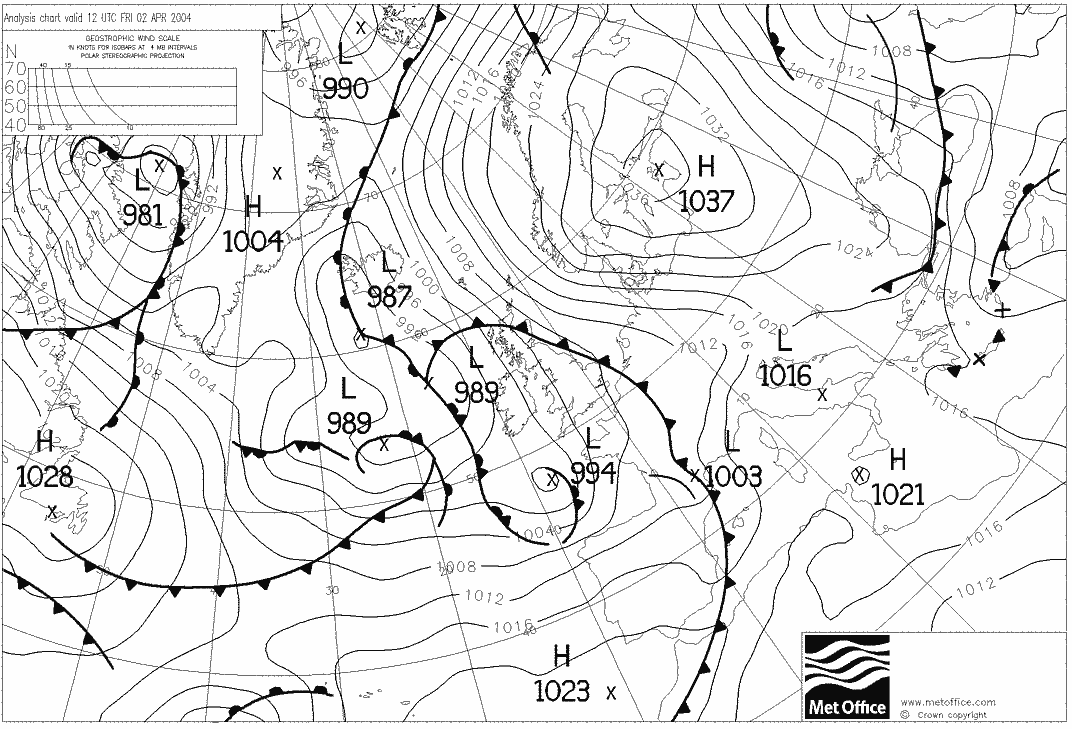
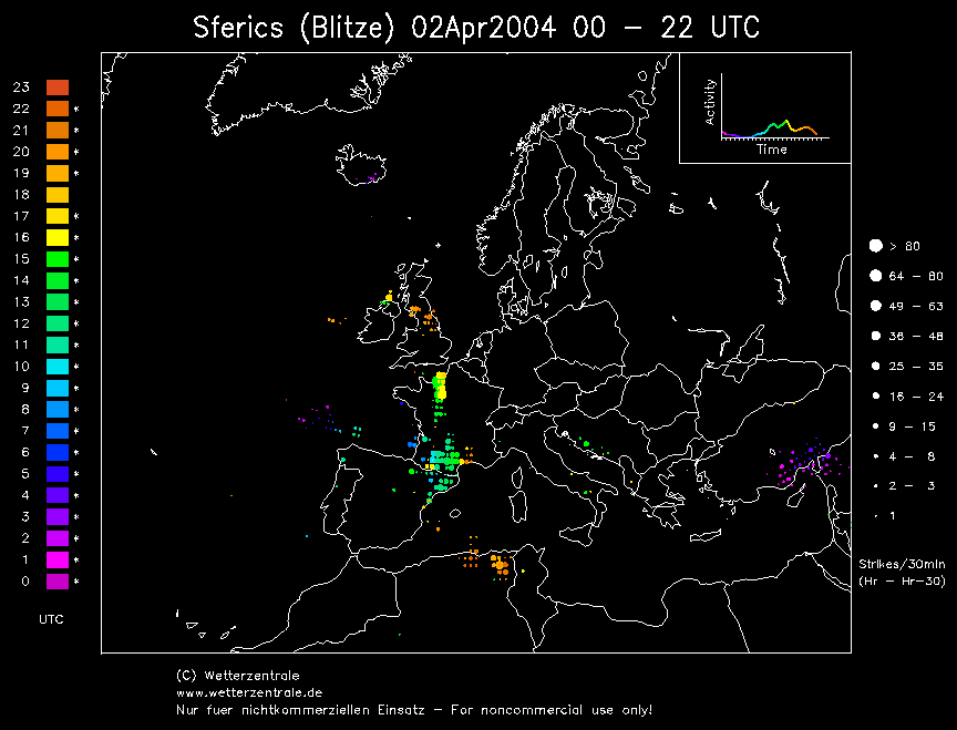
SFERICS
(orange markers) (Credits) |


© Mark Seltzer
www.electricsky.co.uk