
![]()
|
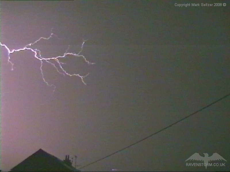
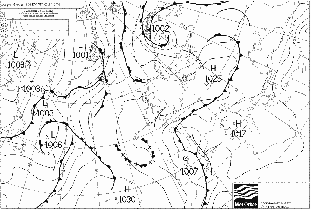
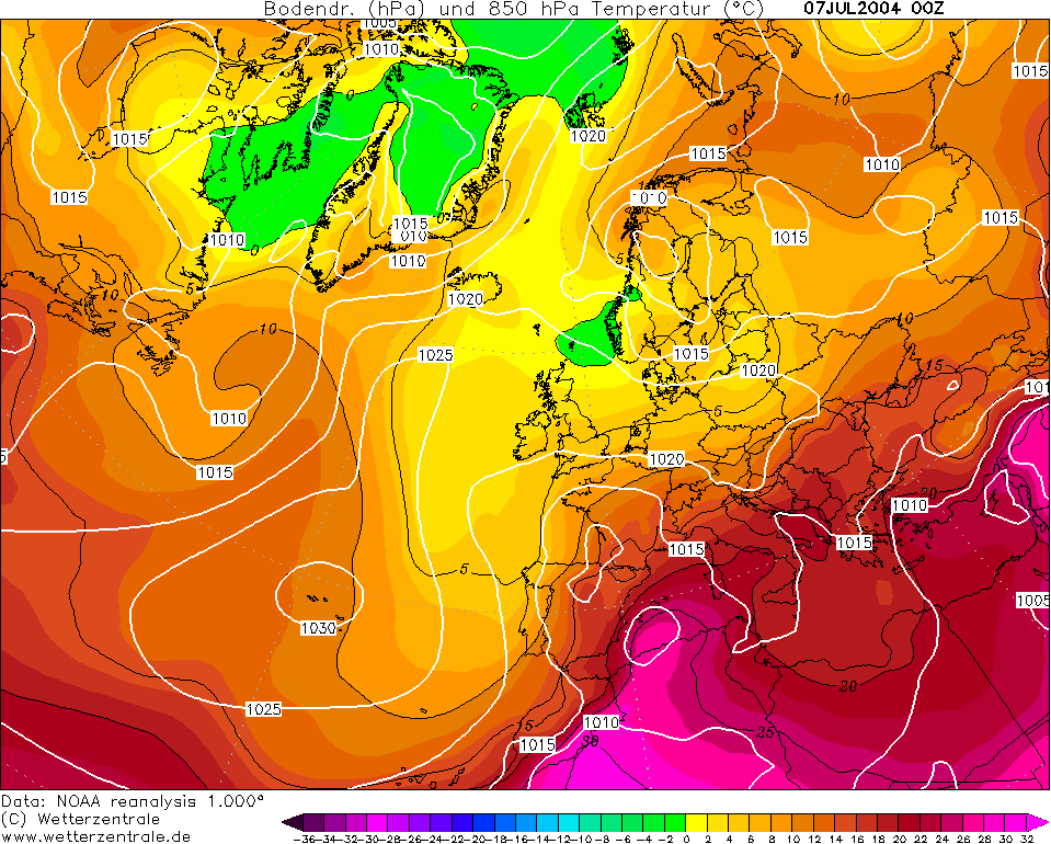
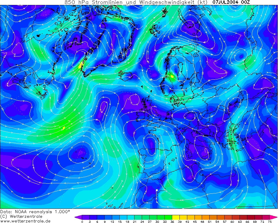
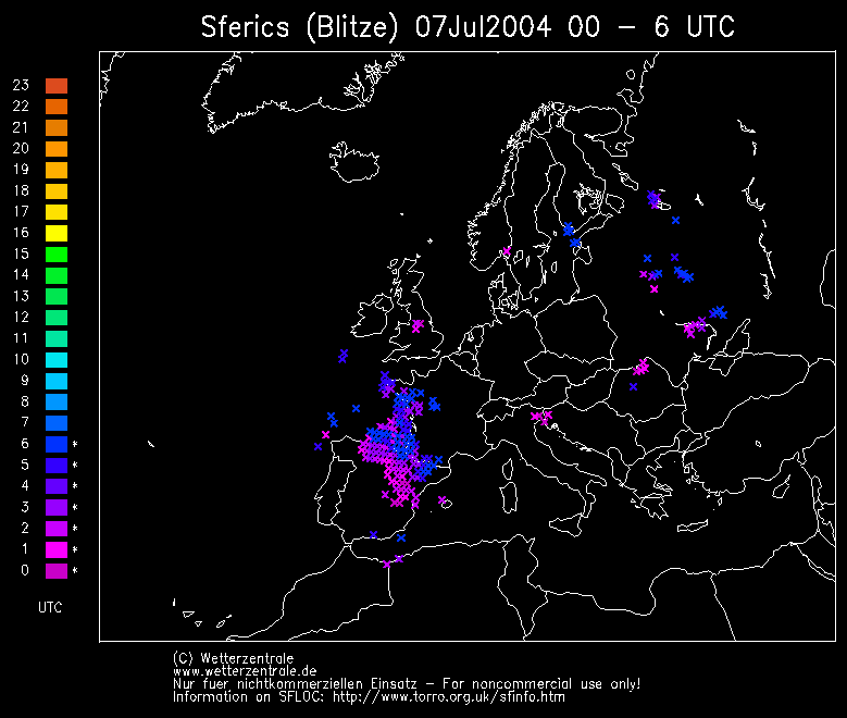
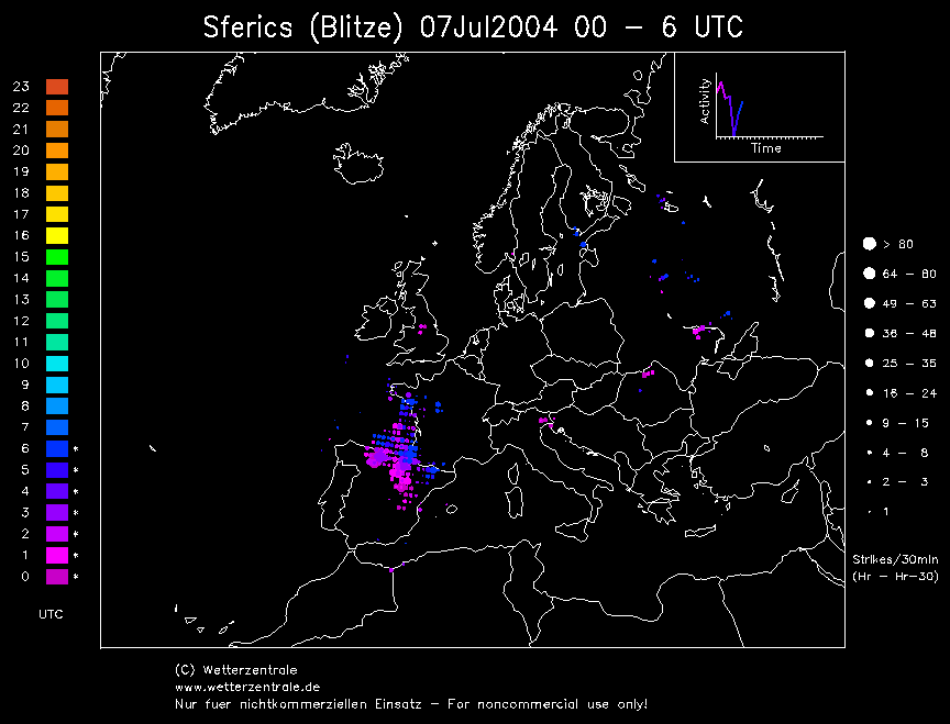
THUNDERSTORM T0048 T0048 was a very slow developing, slow-moving storm, quite weakly electrified and had a low precipitation echo looking at the radar. Although weekly electrified, it had a steady discharge rate give or take a few lulls in activity. The line of activity was associated with an upper-trough feature releasing medium and upper-level instability.
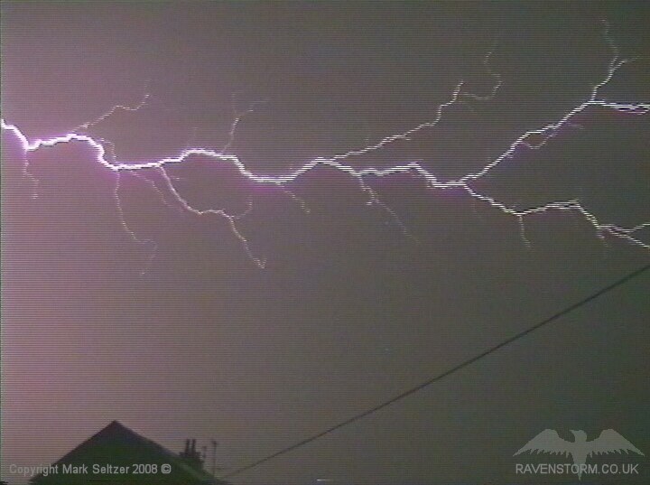
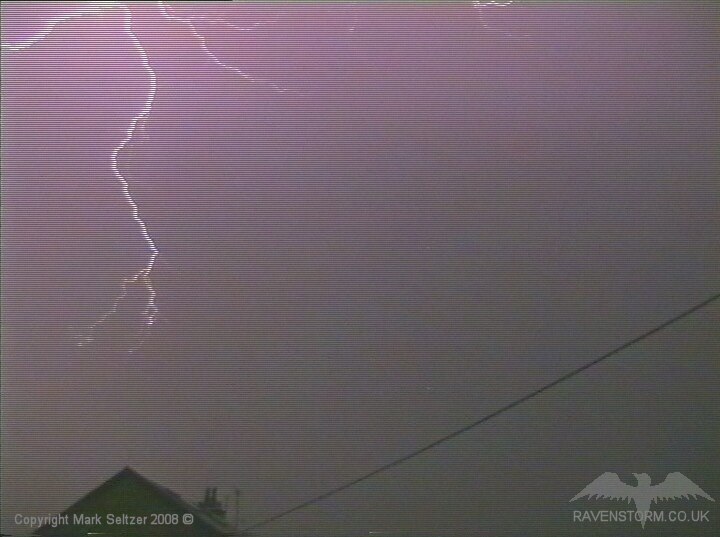
The storm approached in twilight and was visibly flickering away in the distance, but became irregular in activity as it dissipated and new cells developed behind it. I saw virga in the twilight before the storm hit. The best part of this storm was when it eventually made it to Macclesfield and produced a large C-C discharge (although low-amp) overhead.
After that the storm cell dissipated completely, however a couple of hours later the same system generated T0049 directly overhead which was a completely different story.
SFERICS (Credits)
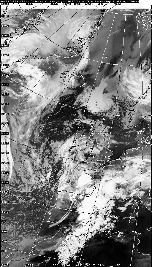
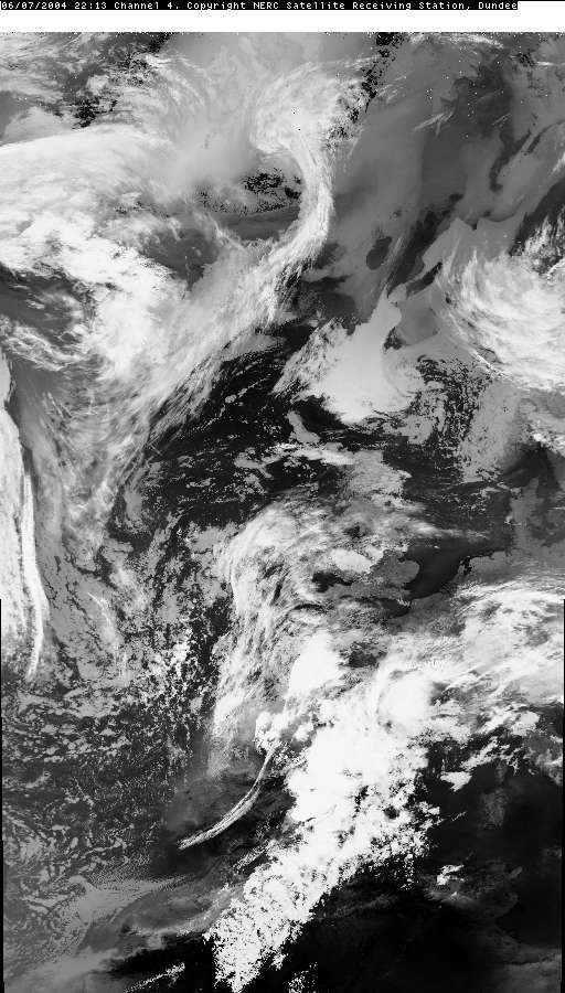
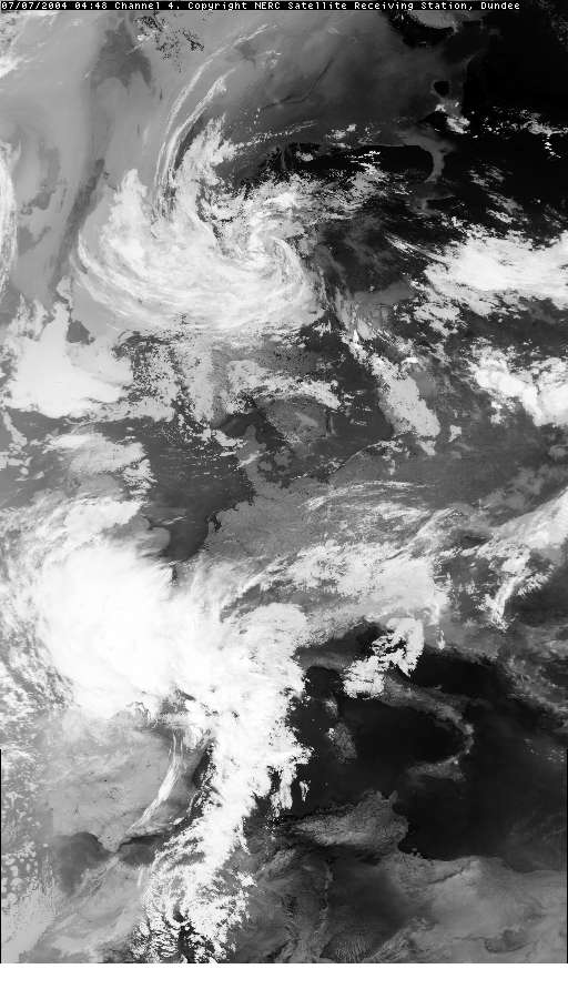
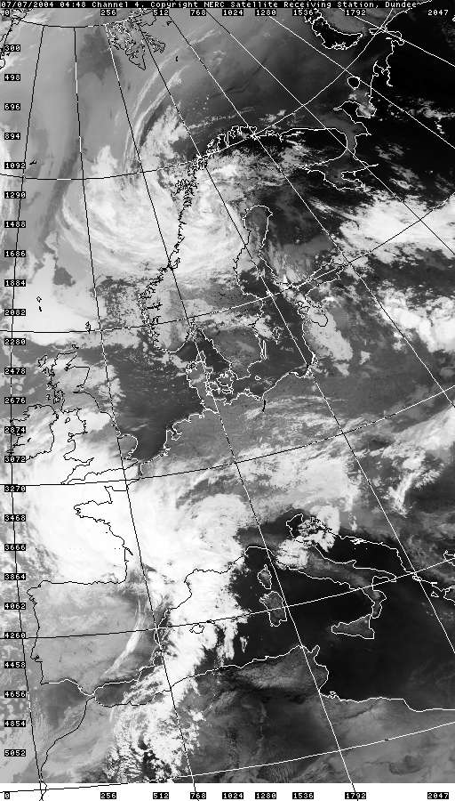
SATELLITE IMAGES (Credits)
|


© Mark Seltzer
www.electricsky.co.uk