
![]()
|
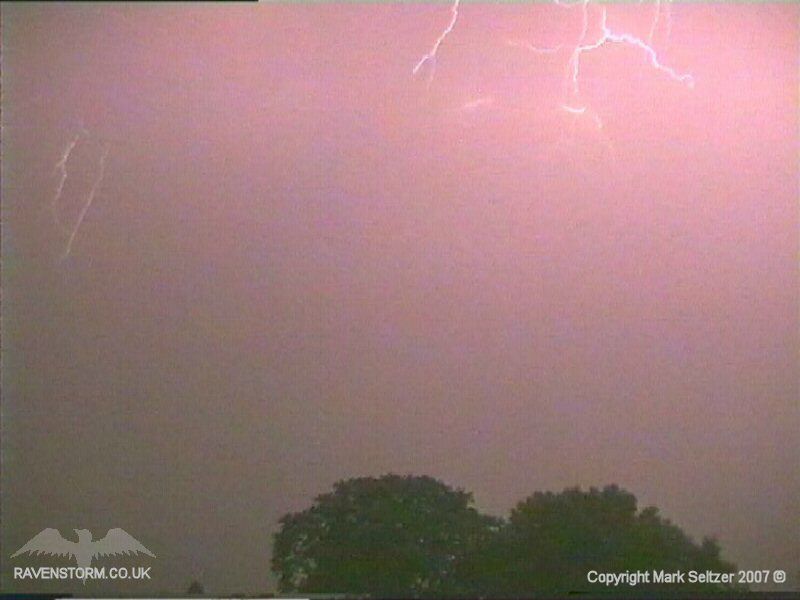
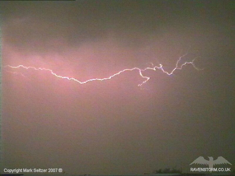
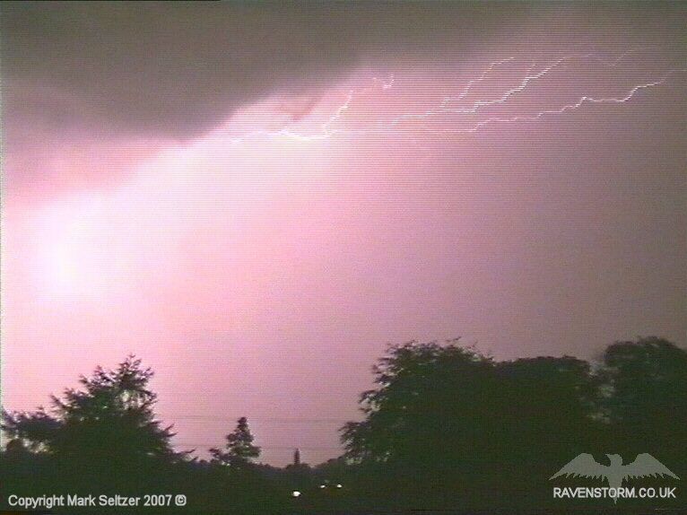
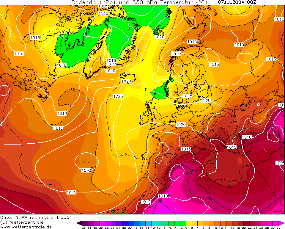
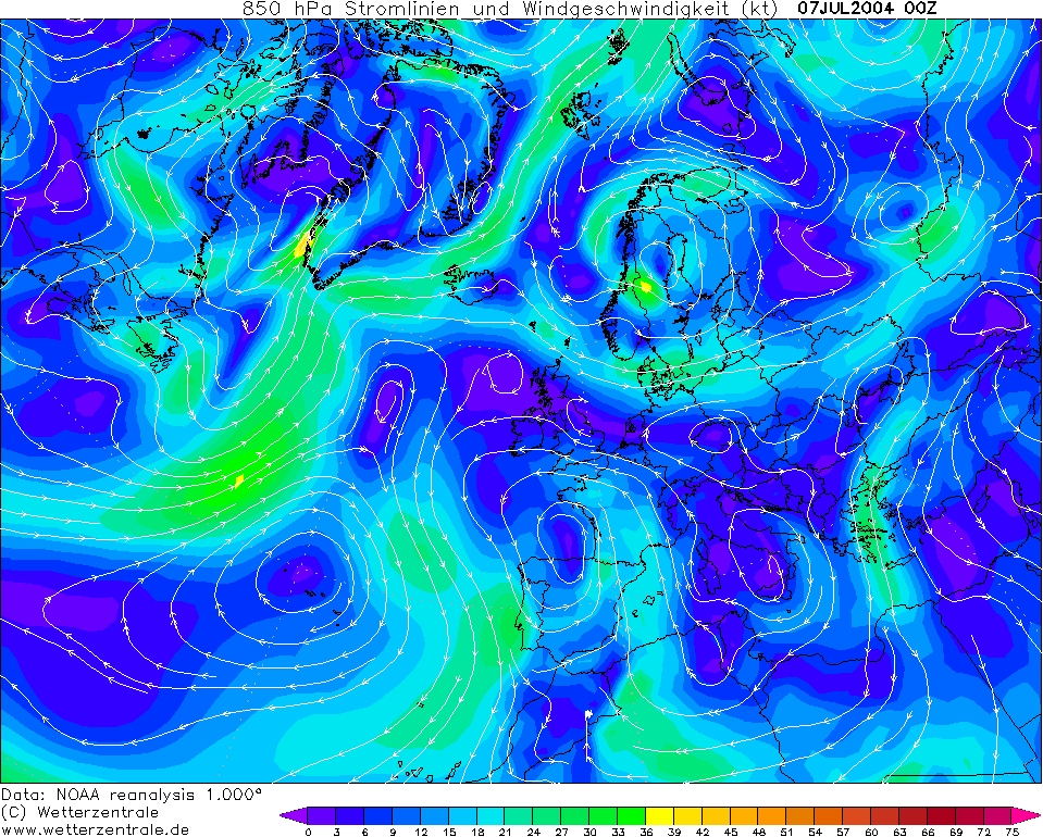
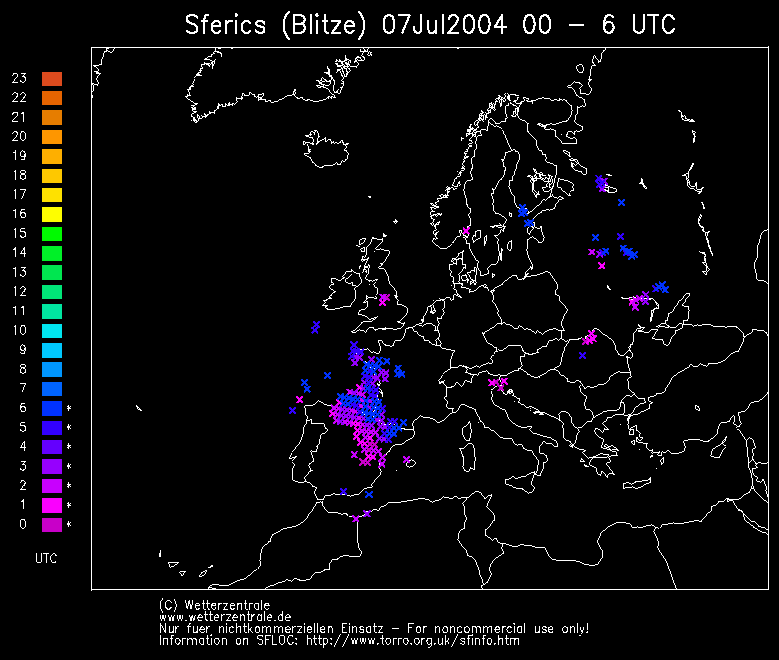
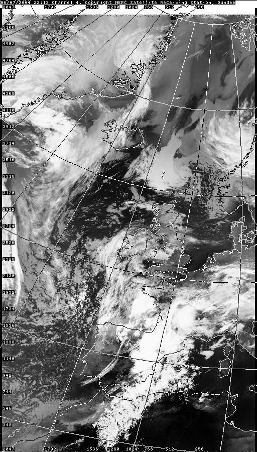
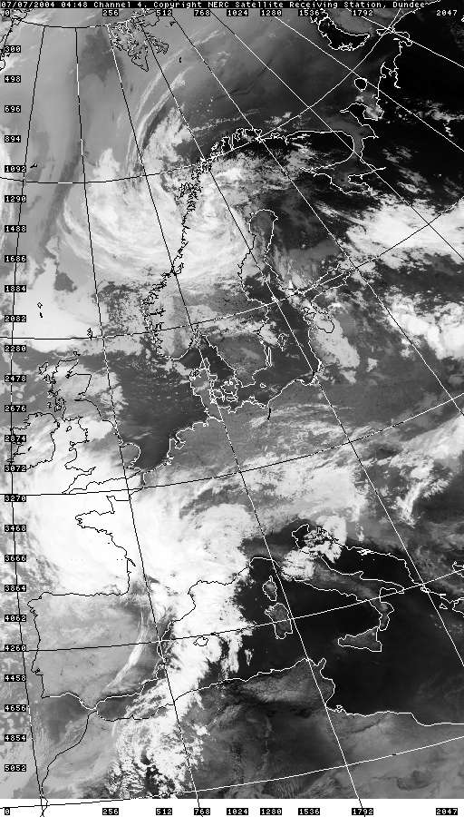
THUNDERSTORM T0049 This was one of the most energetic night time storms I’ve filmed yet and the only storm so far where I know I’ve captured the actual initial discharge. It developed directly overhead in the slack flow at around 1:00am shortly after T0048 had dissipated, likely forced from upper level feeding from the top of the pre-mixed boundary layer of the daytime heating the day before, like T0048, preceding a Spanish Plume system developing to the south over northern France. Thunder was often high-amplitude and durable in nature, with large crawling C-Cs, supporting higher cloud base and multi-cellular structure often featured in mid-level storms.
At first this cell was electrically silent but the precipitation was torrential overhead. Knowing that this atmosphere was unstable to the trop I decided to put the camera up in hope of catching something else for the night.
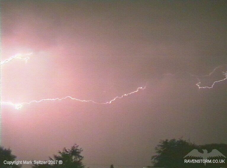
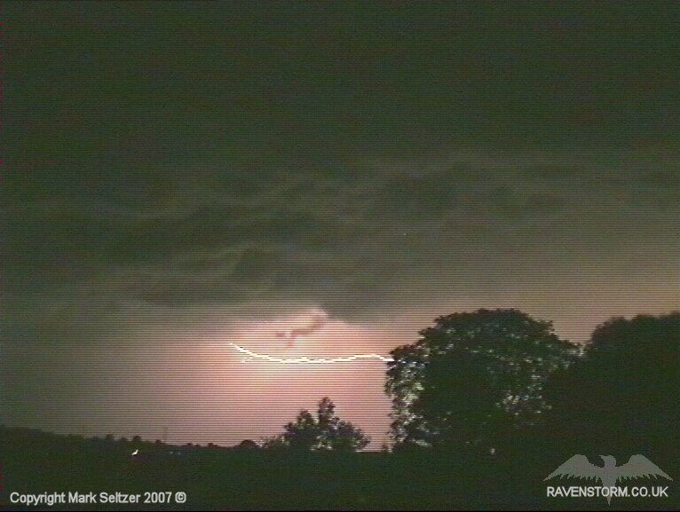
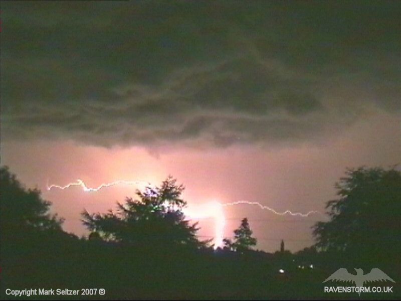
Shortly after I did so, the first discharge of the cell (initiation discharge) happened in the form of an overhead C-C followed by a powerful crash of thunder. Then within more or less every minute there was another discharge, mostly crawling C-Cs.
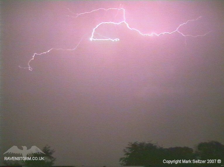
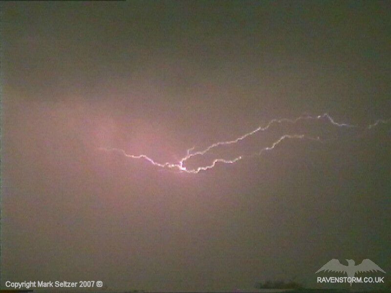
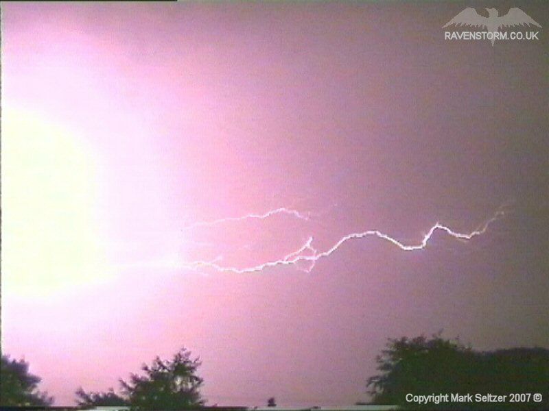
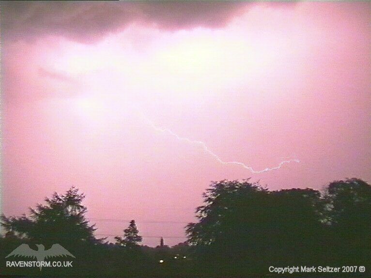
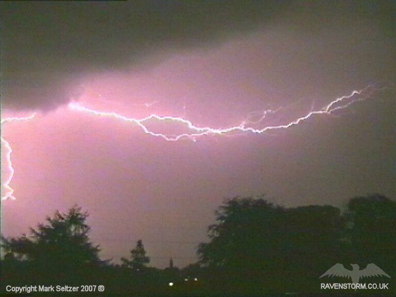
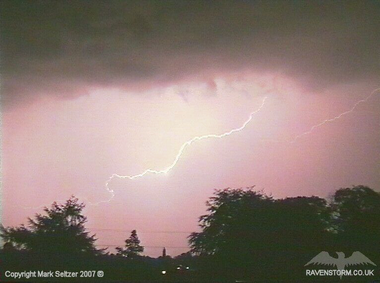
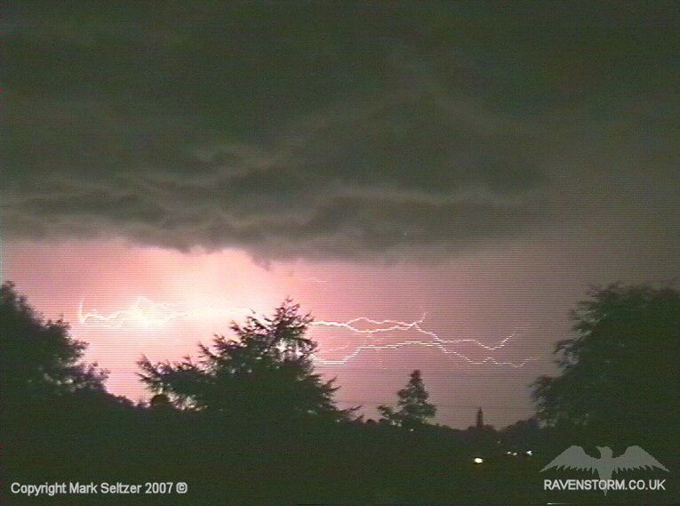
The C-C shown above in particular was very bright and was accompanied with a very loud thunder, even from a distance. The following C-C was beautiful and tame in comparison showing a orb-fashioned shape.
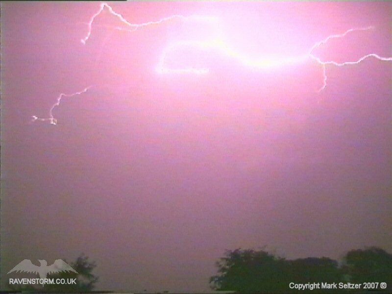
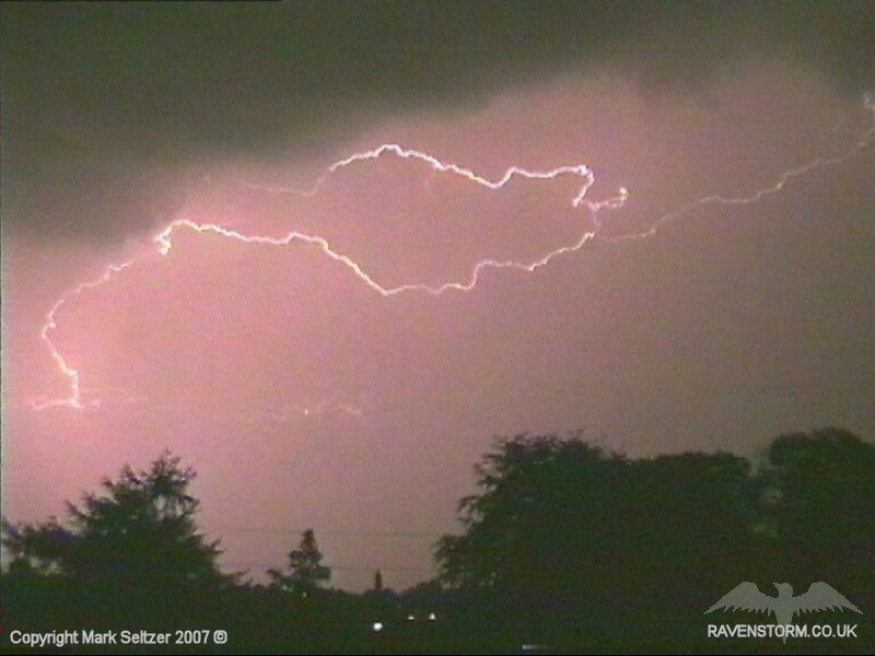
A distinct line between the updraught and downdraught was starting to become evident as C-C spiders danced just in between them.
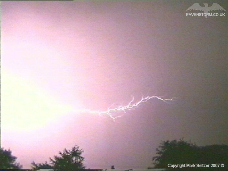
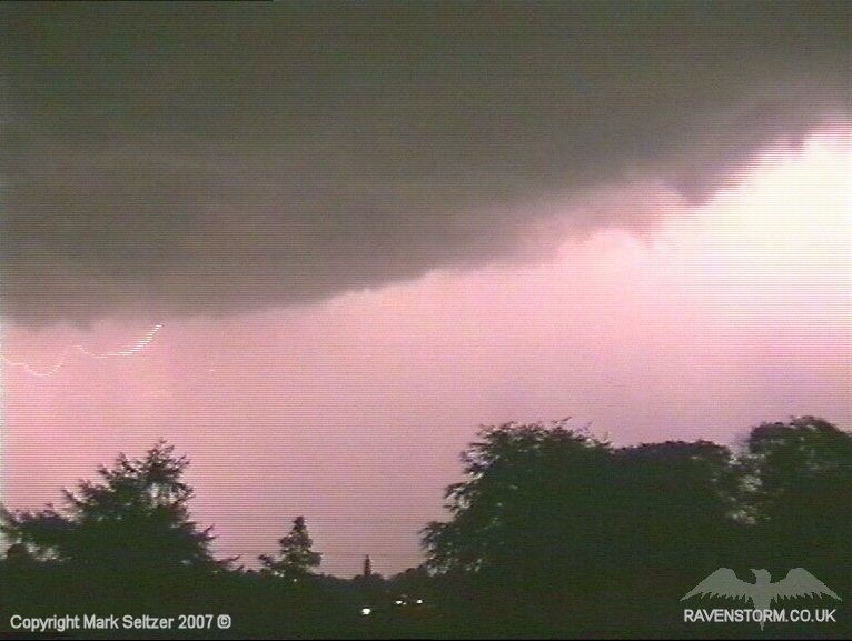
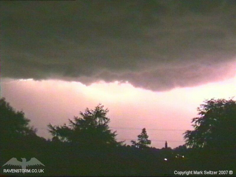
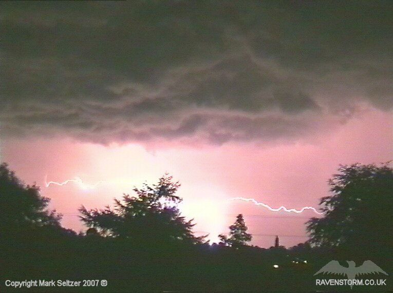
I was confident there were minimal C-G strikes as the storm initiated just as it left the area, giving a clear view of the whole main cloud base, however the initiation discharge may have been an out-of-view C-G. The storm was visible for more than an hour and a half as it slowly creeped its way northwards giving some immense displays of C-C, often with “call and response” characteristics between two cells. The silhouette of a strong bubbly updraught-base was also revealed as it left the area.
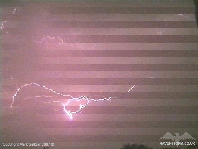
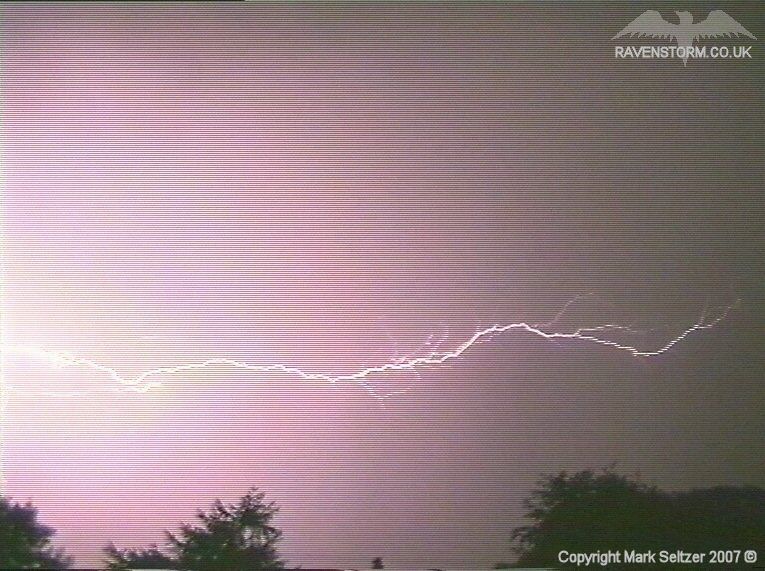
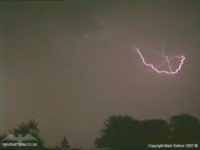
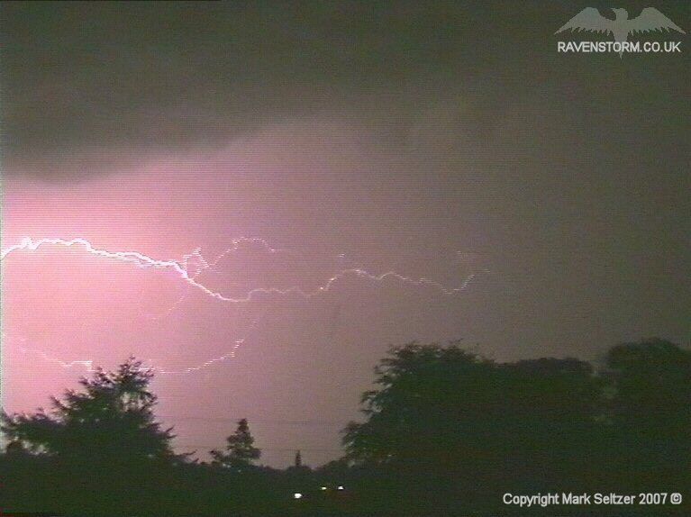
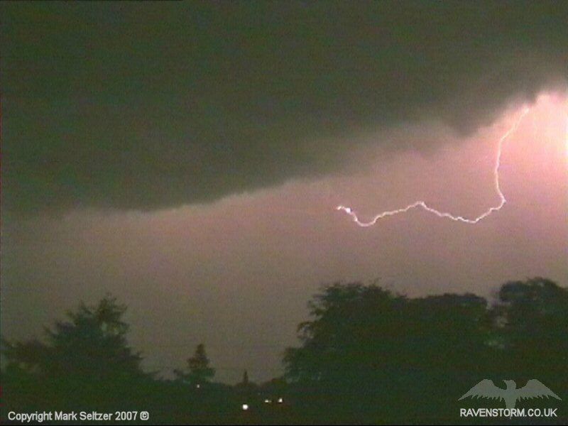
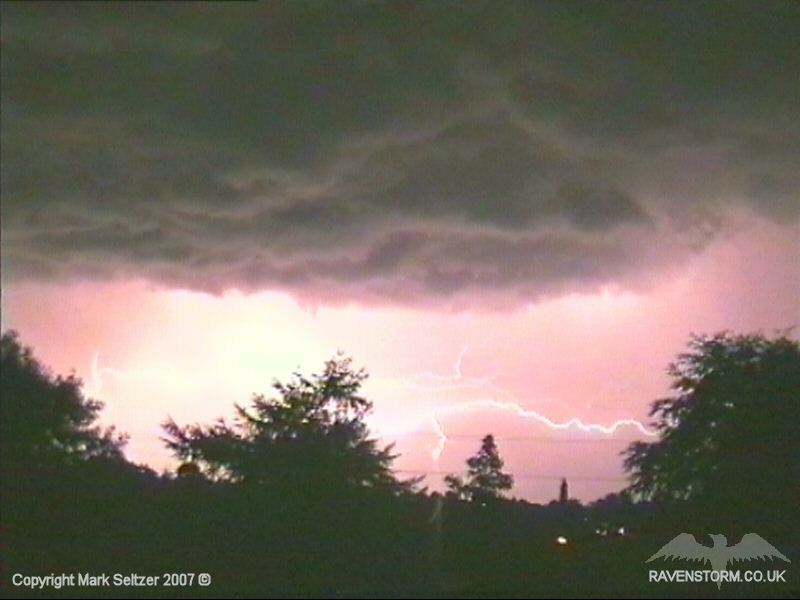
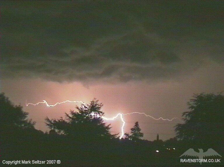
This next one is one of my favourites from this storm; as well as lighting up the underside of the updraught base, the C-C had many branches before one connected with the ground to finish the discharge off. Shame the tree was in the way.
This was one of the best
night-time storms I’ve filmed after T0011 and T0024. It was very easy to
film as the storm initiated overhead, giving some nice close-quarter action,
then the rain curtain immediately left the area leaving nothing but a dry,
calm wind lightshow. The entire line of cells
dissipated around about the time I stopped filming at 2:50am.
SFERICS (Credits)
|


© Mark Seltzer
www.electricsky.co.uk