
![]()
|
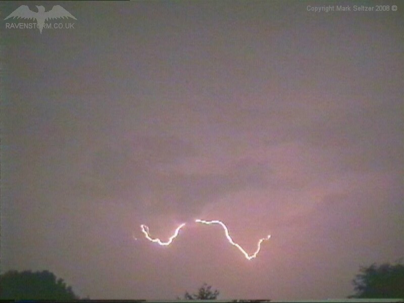
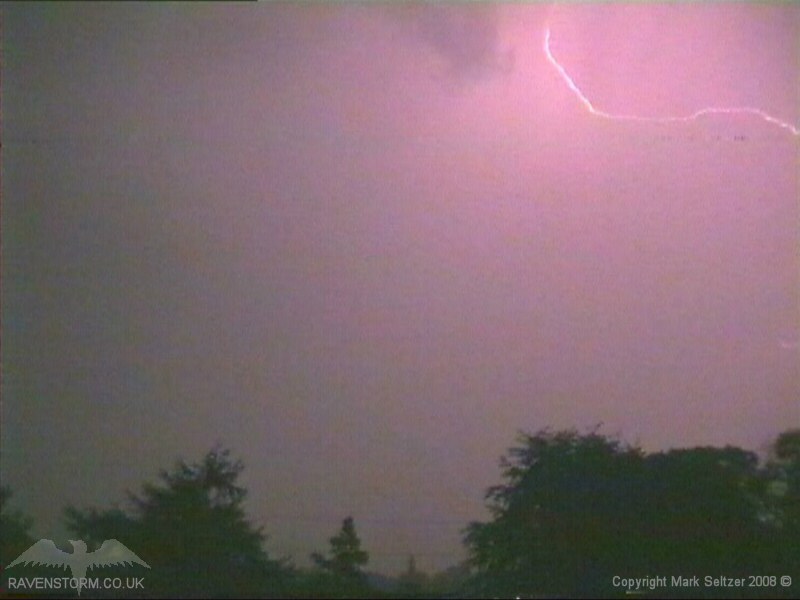
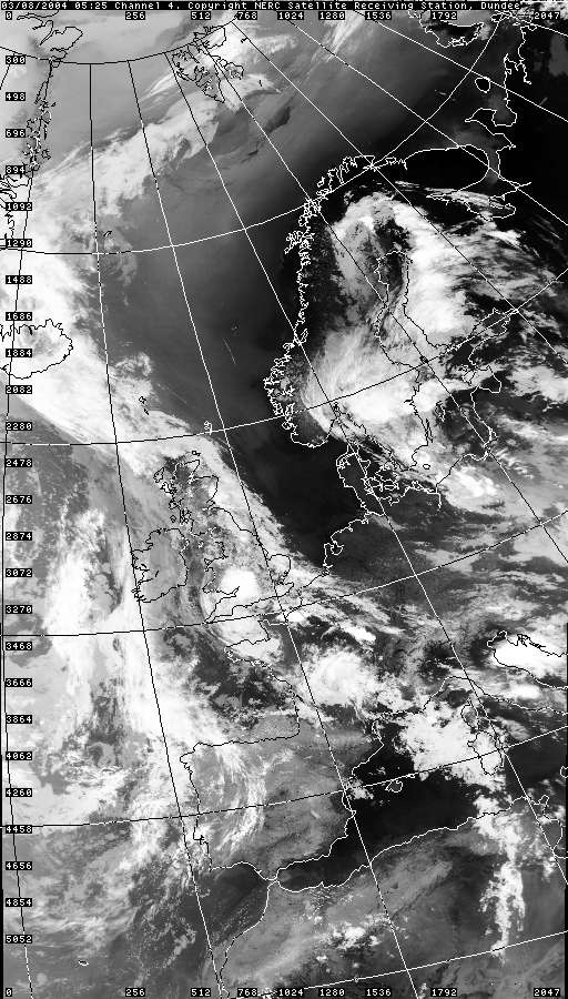
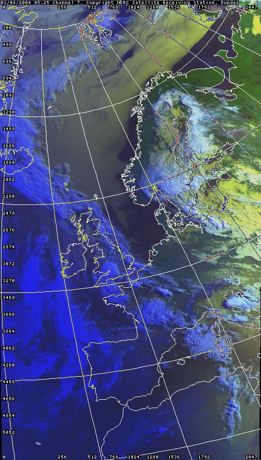
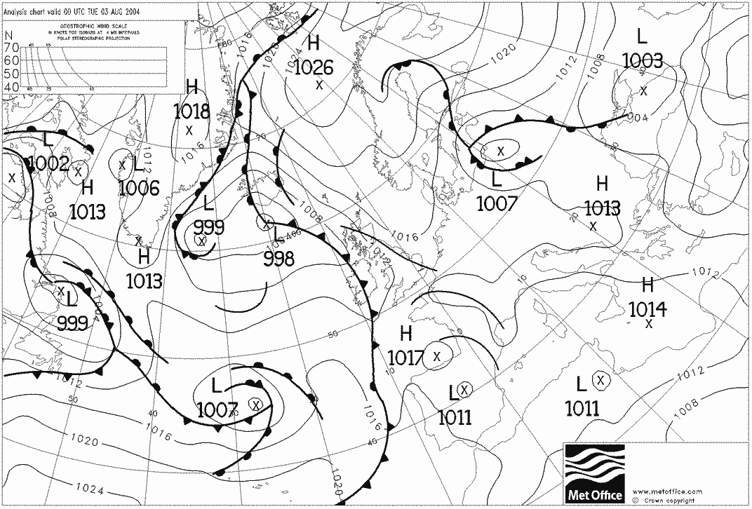
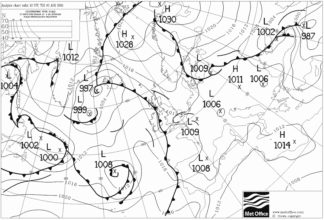
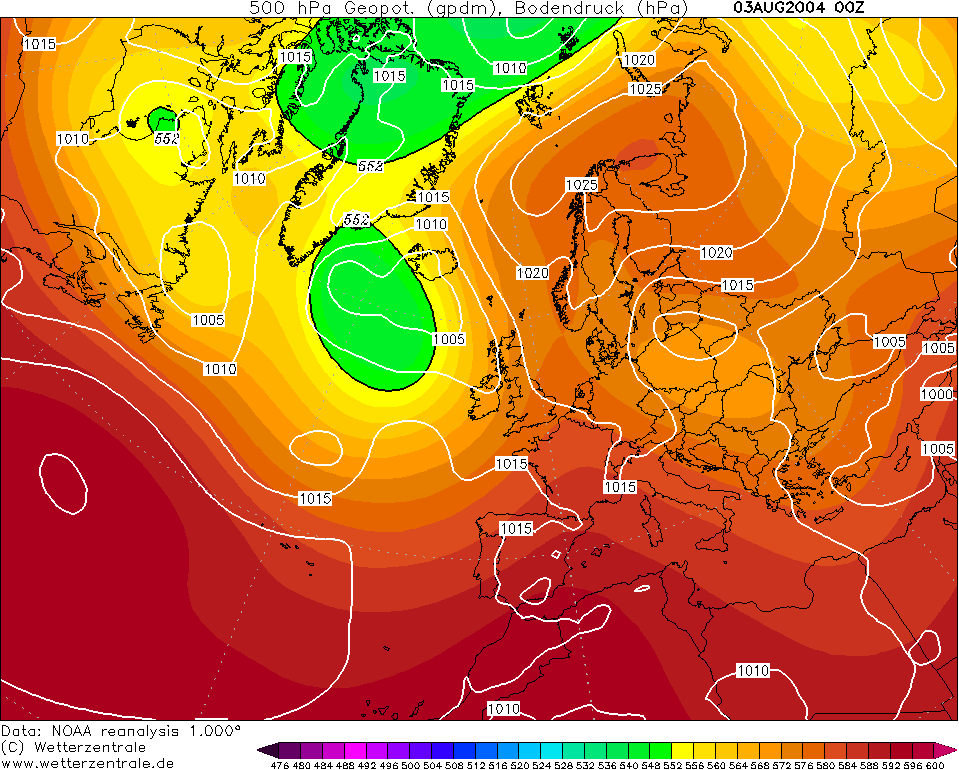
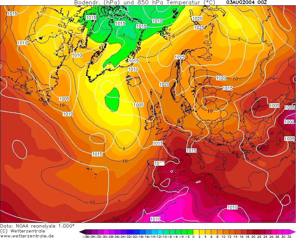
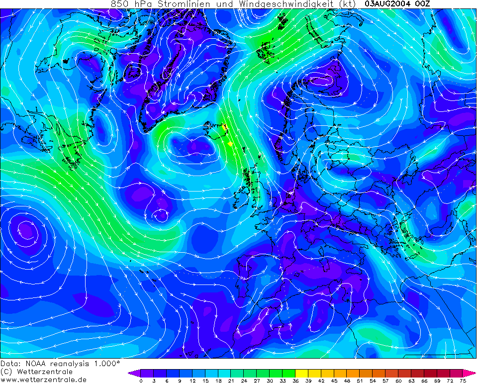
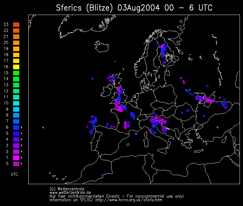
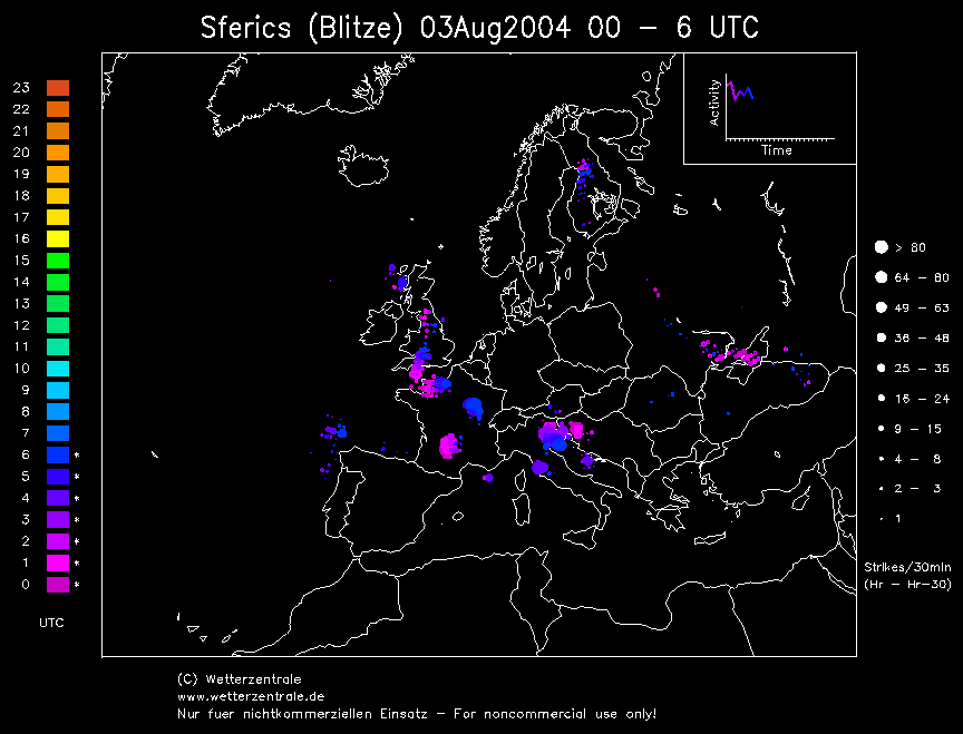
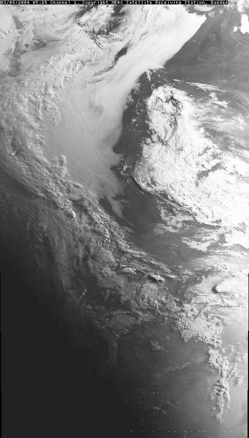
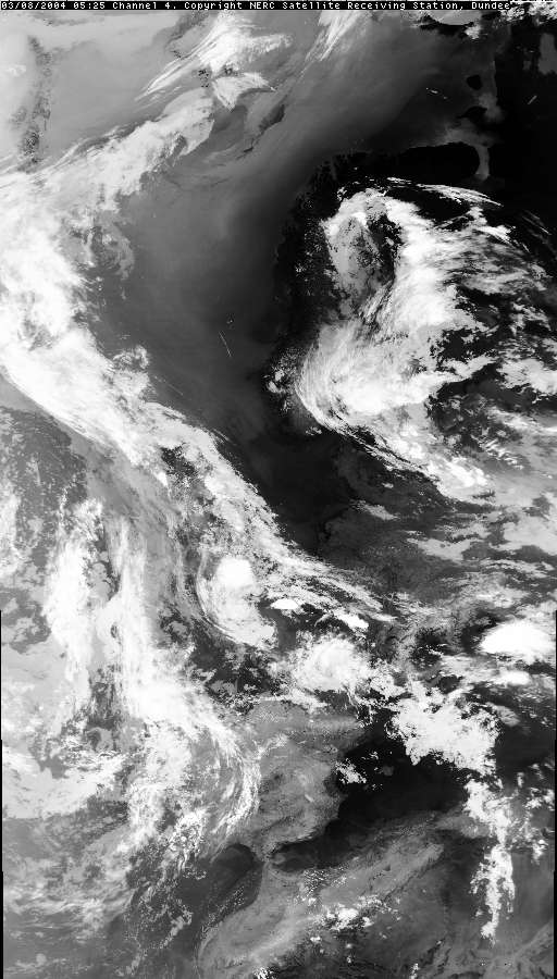
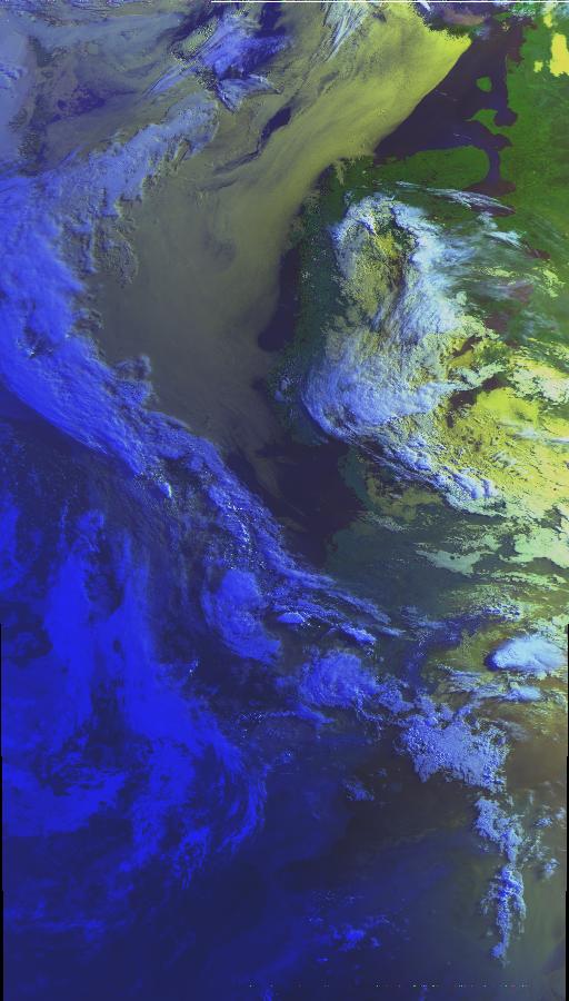
THUNDERSTORM T0050 This storm happened in the dead of night without much warning, woke and started filming it. It was spawned from classic mid level instability ahead of a trough to the west (plume), a slow moving one at that. Quite a weak affair on the radar but unstable enough for some short-lived AcCast cells. Must have been overhead when I woke as the back edge was drifting north when I started. I captured some C-C as the storm drifted away into the distance with a few good thunders but nothing spectacular.
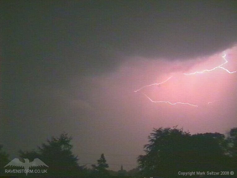
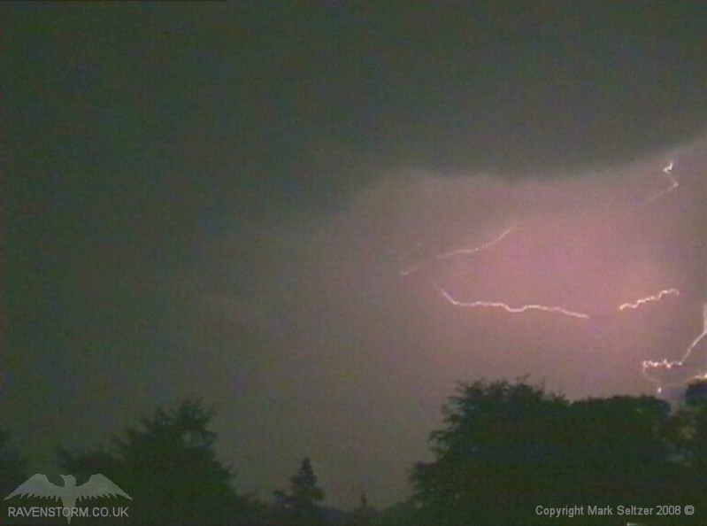
Later on during daylight hours a huge multi-cellular thunderstorm line broke out along the M4 corridor between Bristol and London on the plume low centre / triple point, likely surface-forced. It had a large hook echo on the radar but I believe it was only following the surface flow of the low. It was stampeding northwards but by the time it reached the local area it had long dissipated.
SFERICS
(Credits) |
© Mark Seltzer
www.electricsky.co.uk