
![]()
|
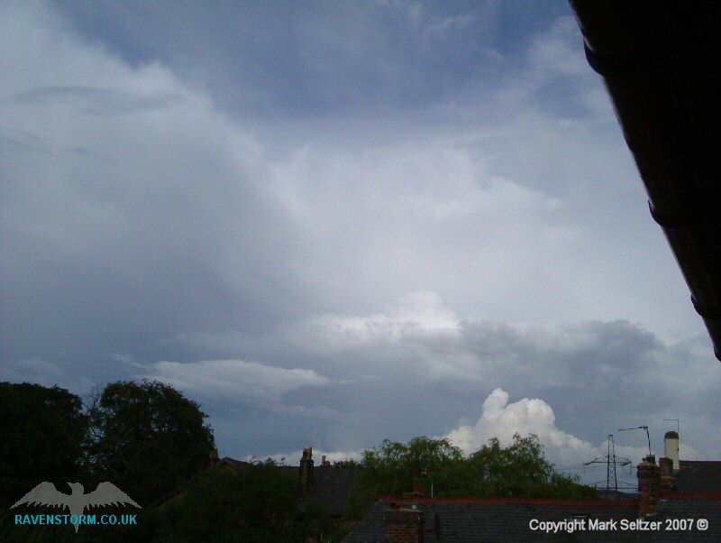
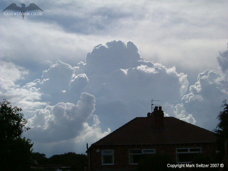
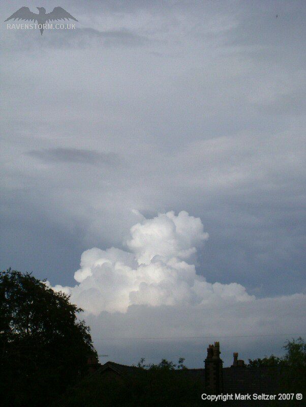
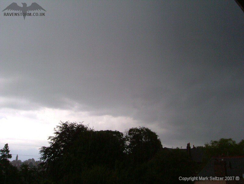
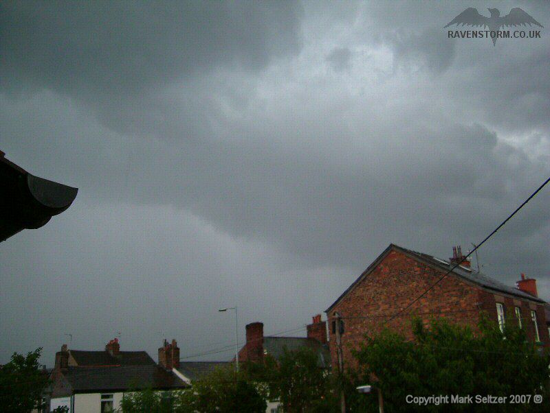
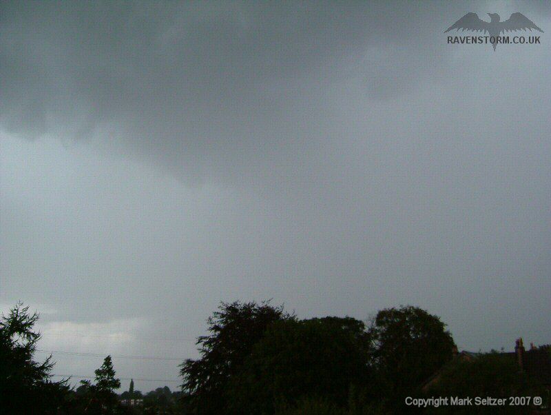
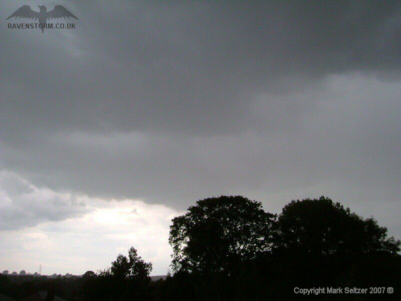
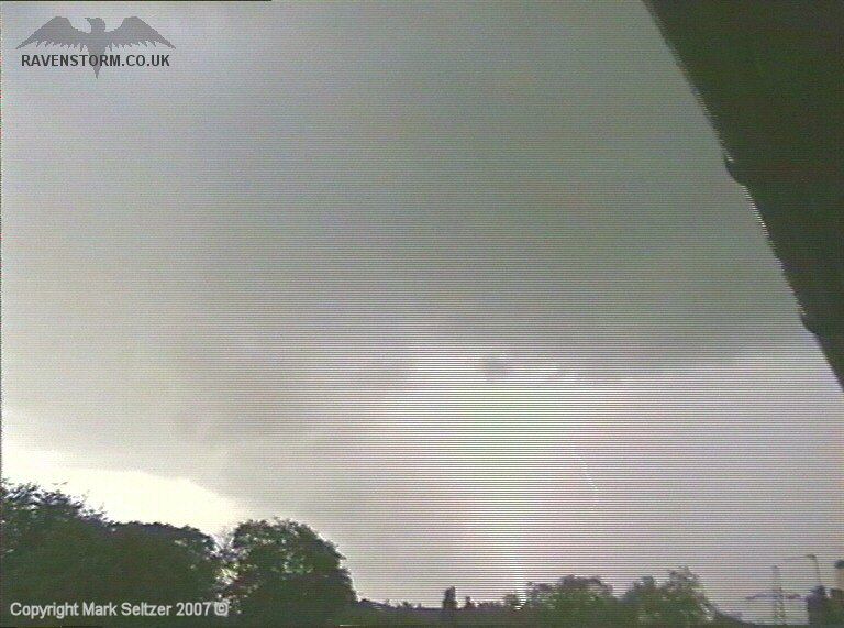
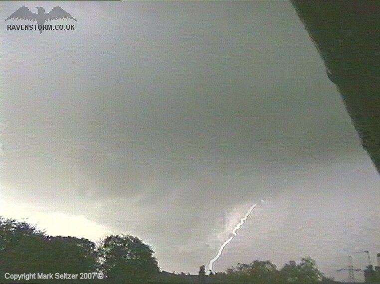
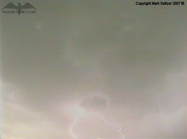
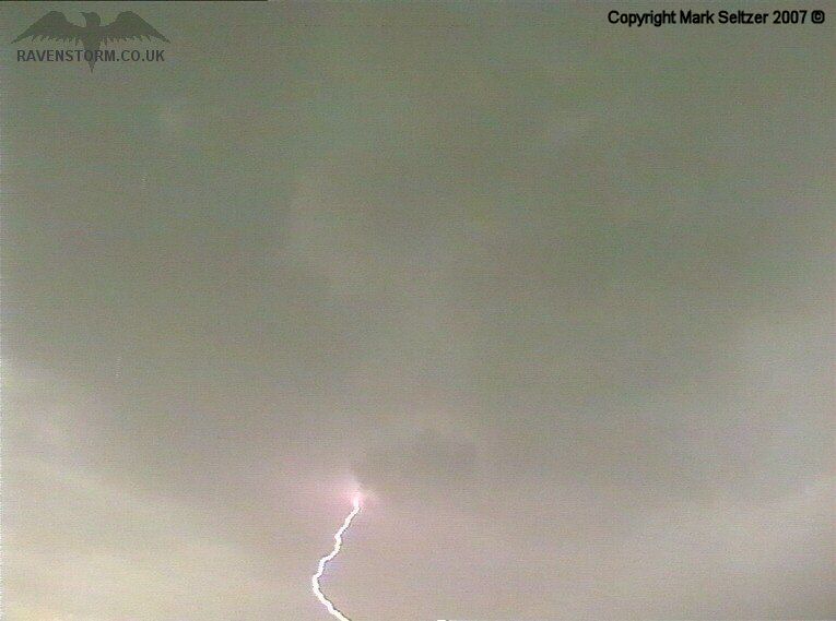
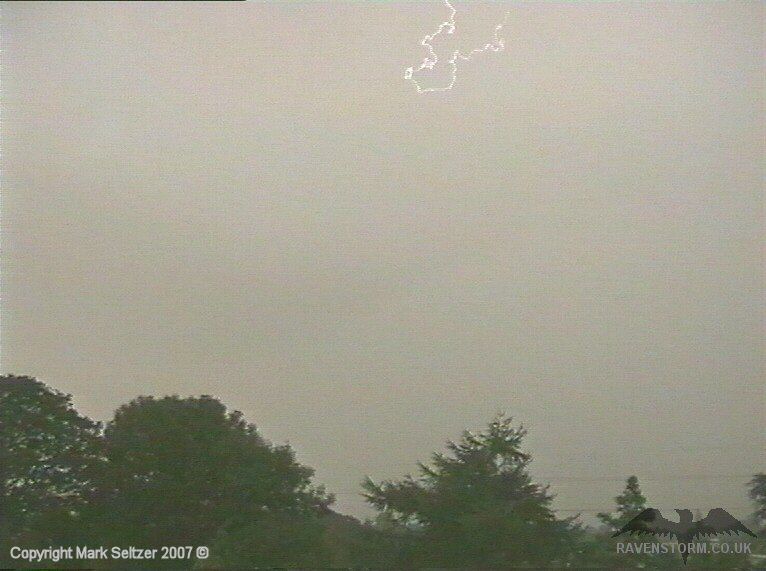
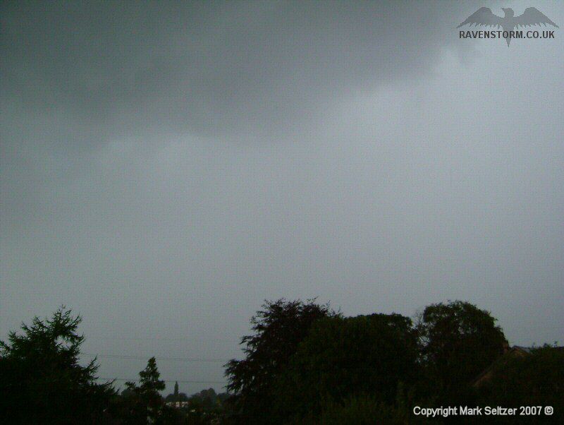
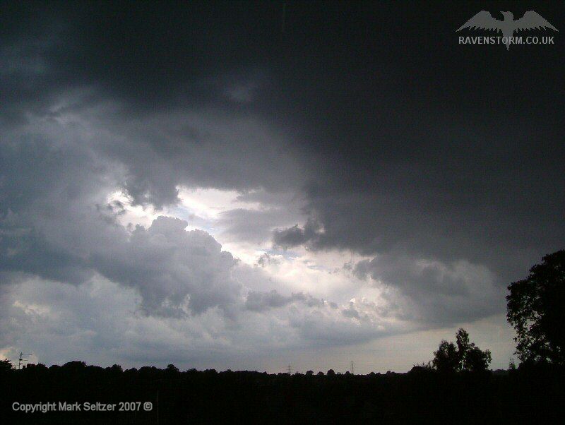
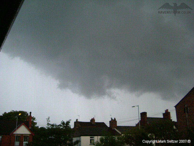
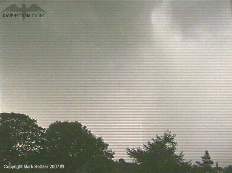
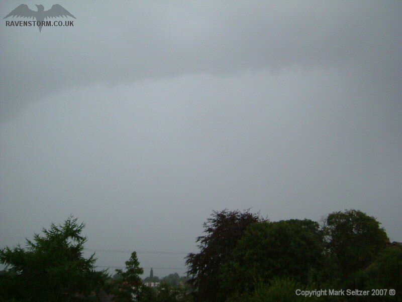
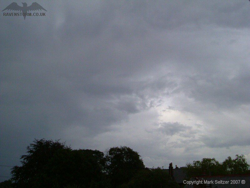
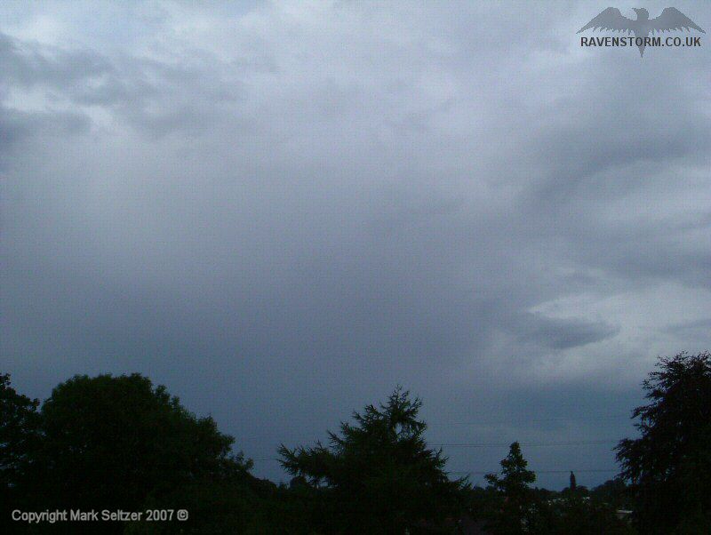
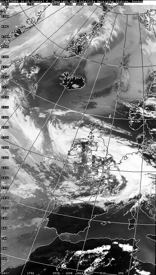
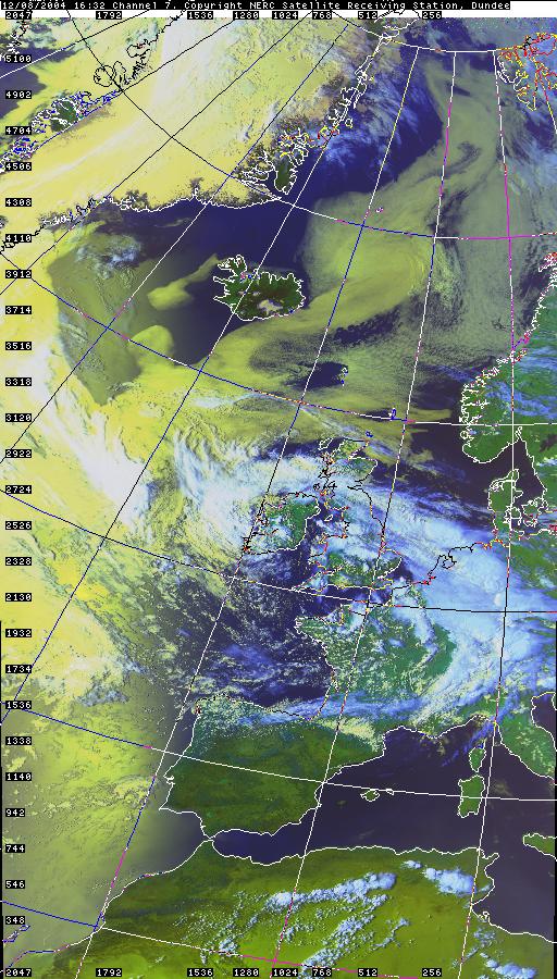
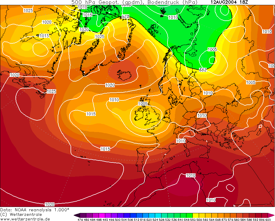
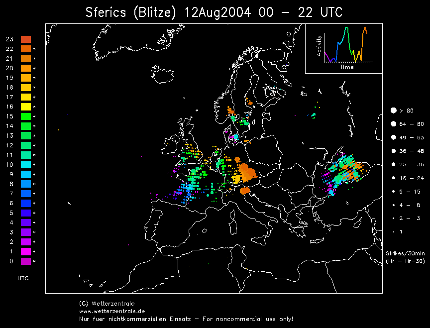
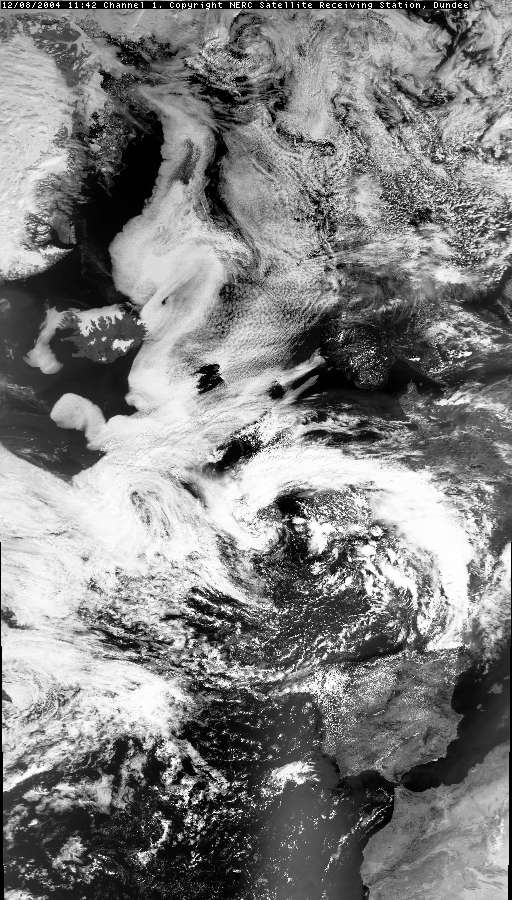
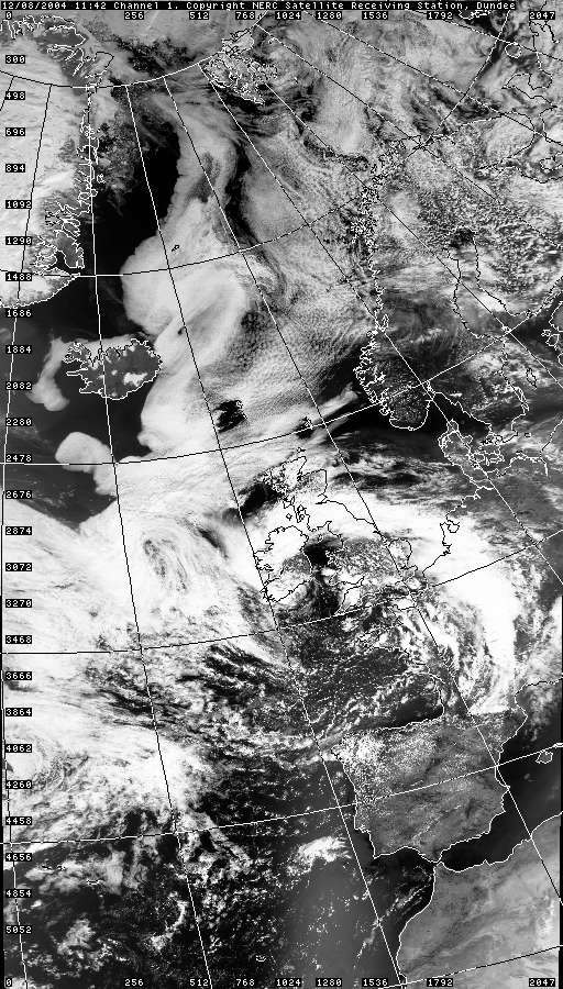
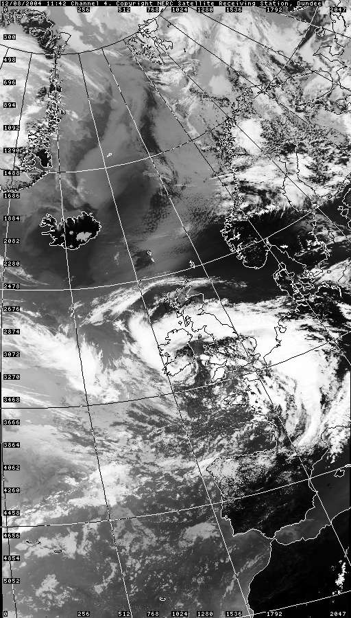
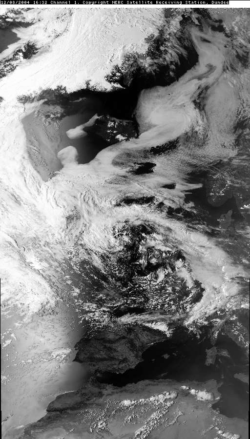
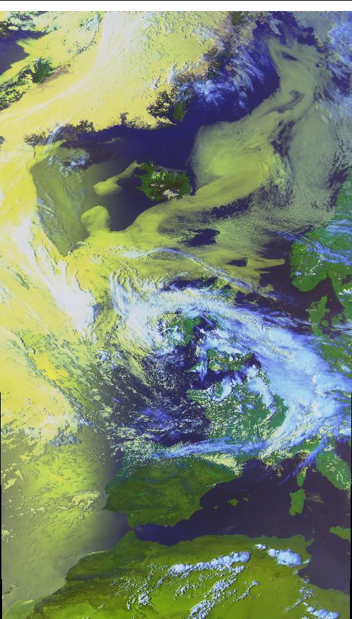
THUNDERSTORM T0052 This was a typical surface-based multicell in an unstable returning polar maritime airflow post-front. Decent cumulonimbus cloud formations were observed given the open-cell convection. The day was warm; about 20°C for the max.
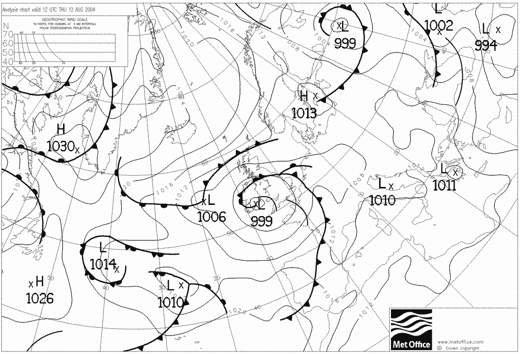
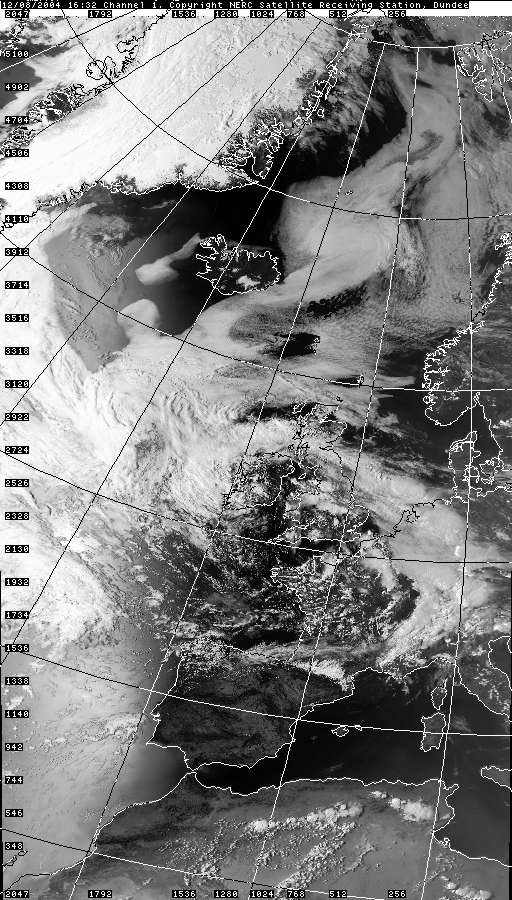
The storm generated multiple C-Gs near the front of the cell where the updraughts were, with a hint that these cells were rearward-sloping. This is plausible looking at the 500mb chart below - the low was right overhead (slack flow aloft) but there was definitely a surface wind. The thunder was reasonably high-amp in some discharges.
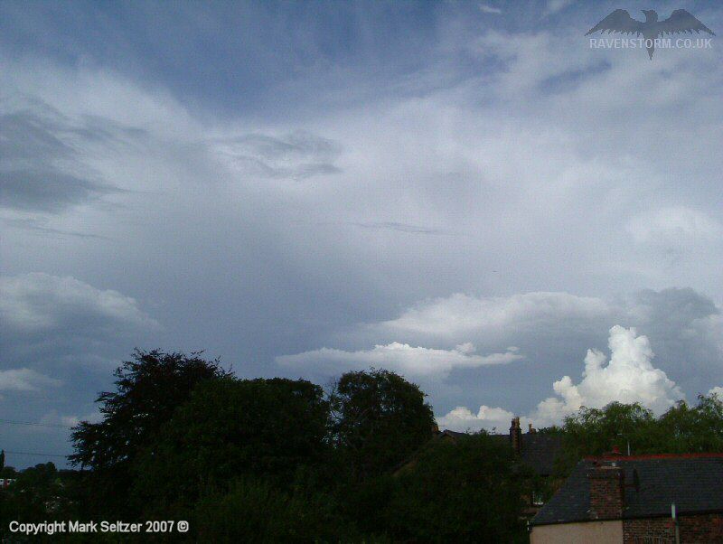
It moved away within half an hour of it arrived and proceeded to more northern areas.
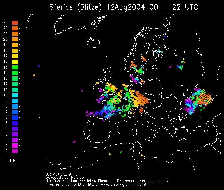
SFERICS
(orange markers) (Credits) |
© Mark Seltzer
www.electricsky.co.uk