
![]()
|
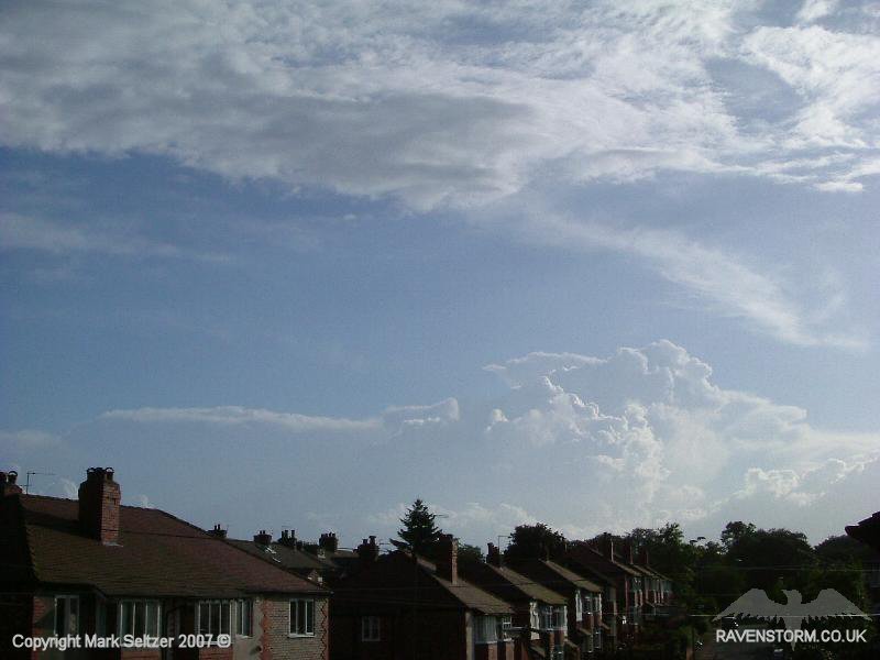
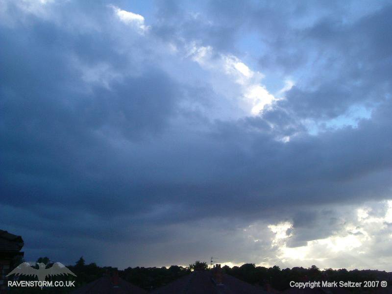
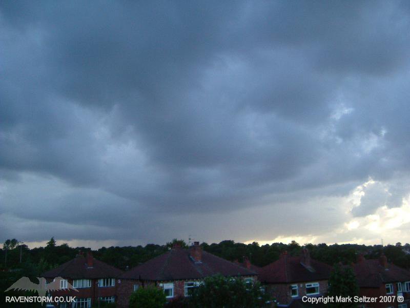
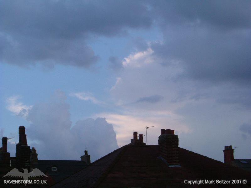
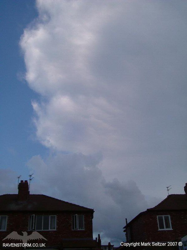
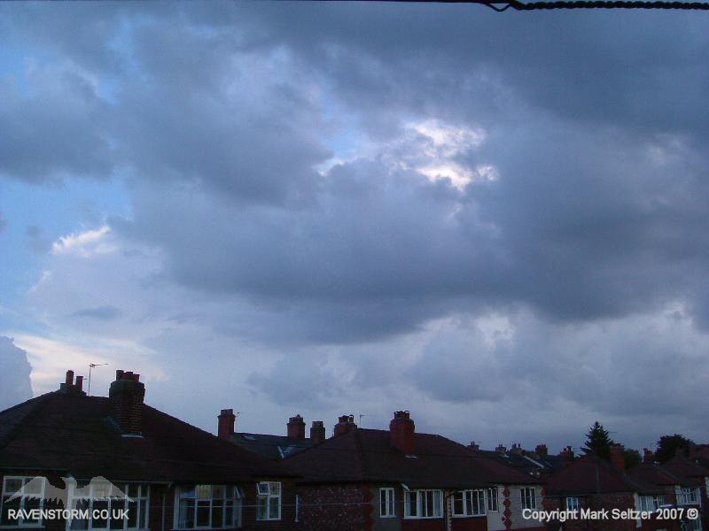
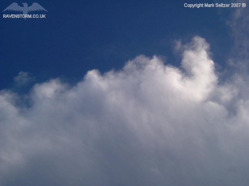
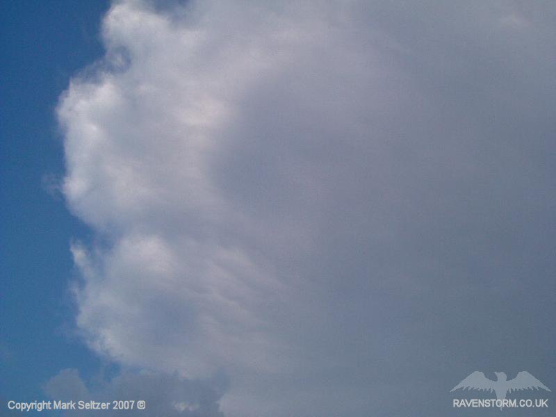
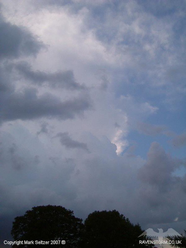
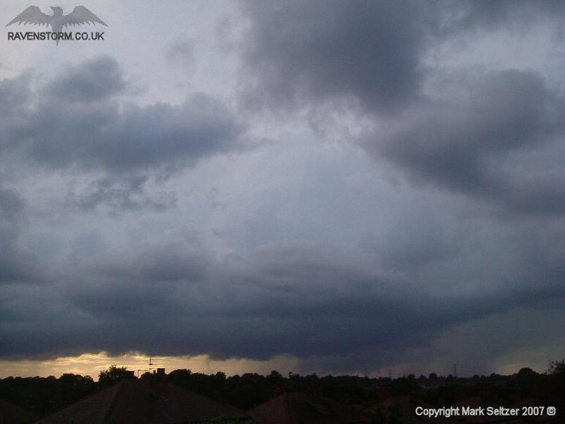
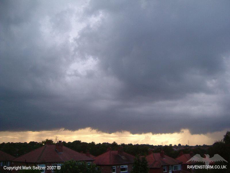
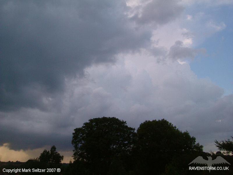
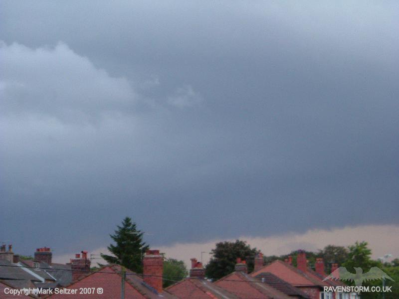
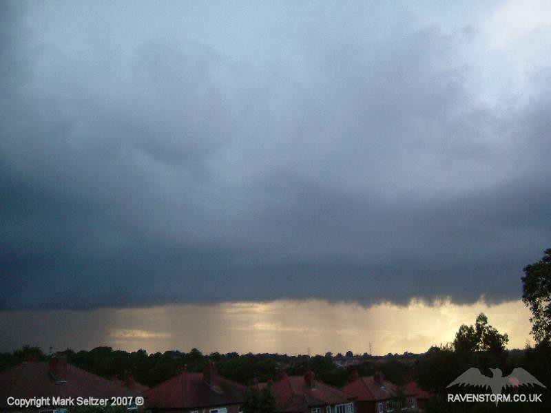
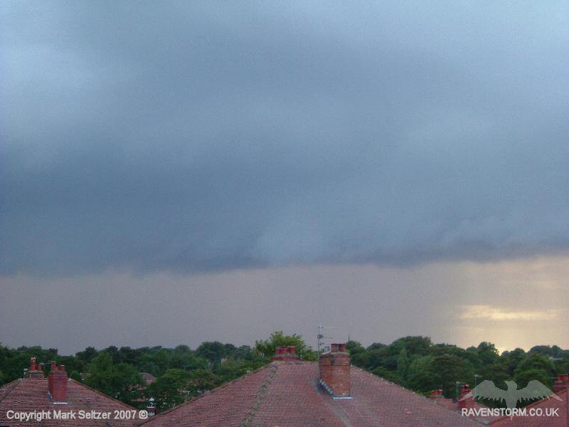
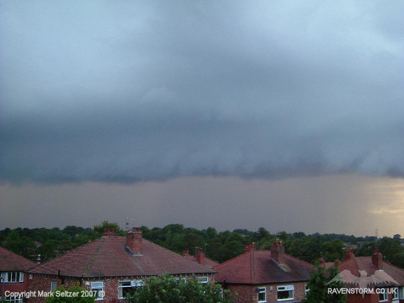
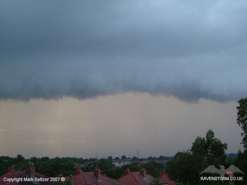
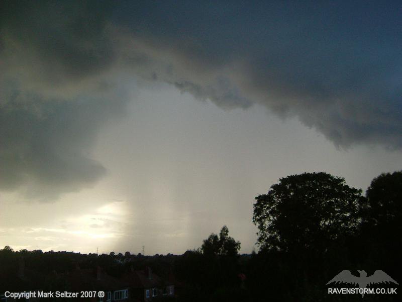
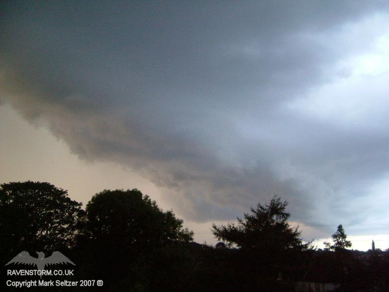
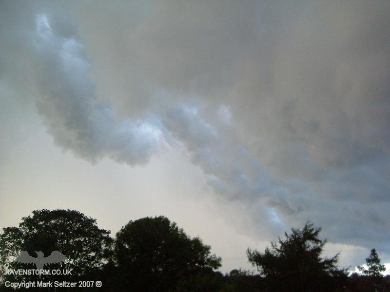
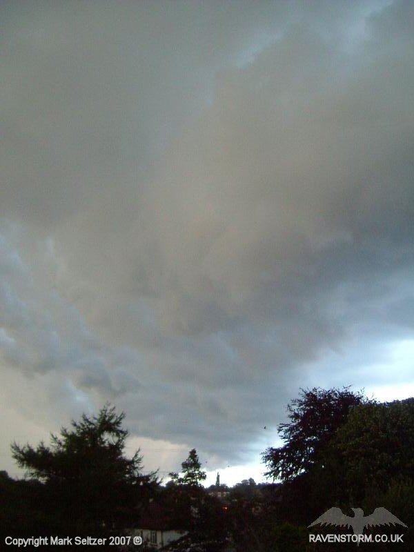
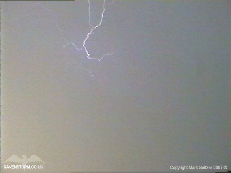
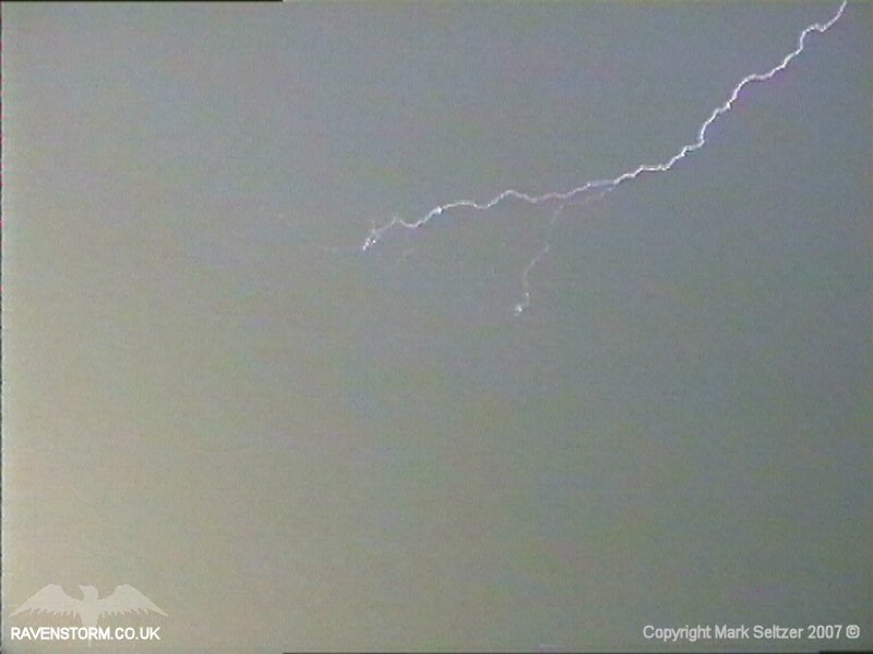
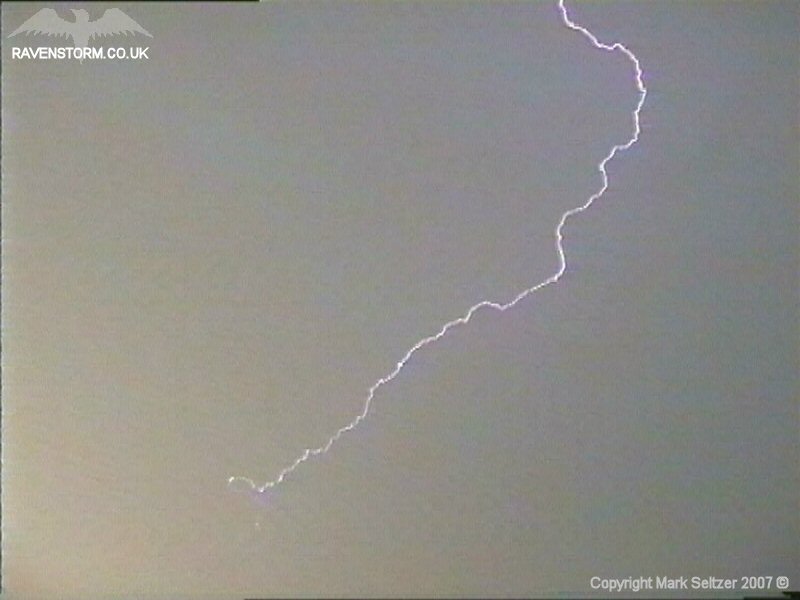
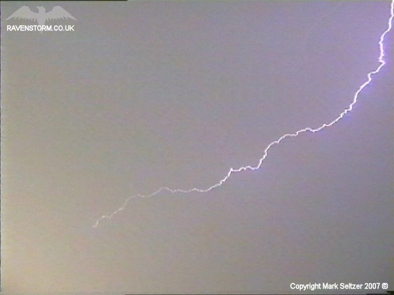
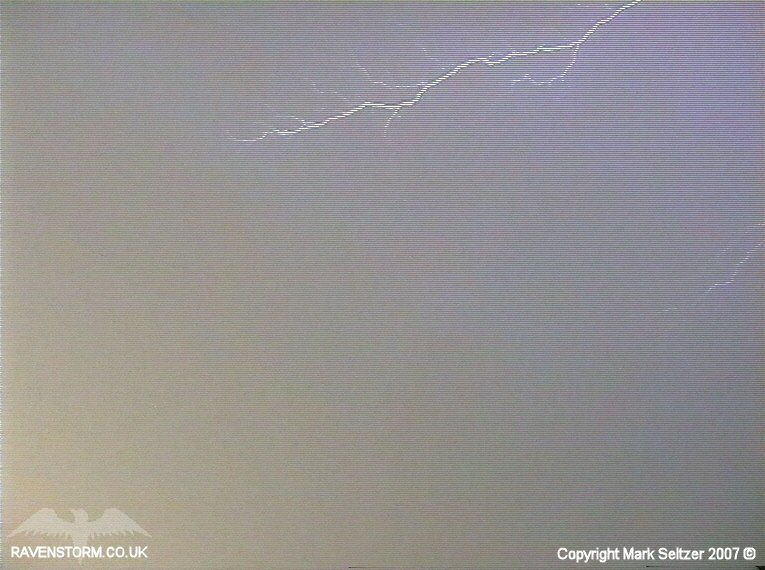
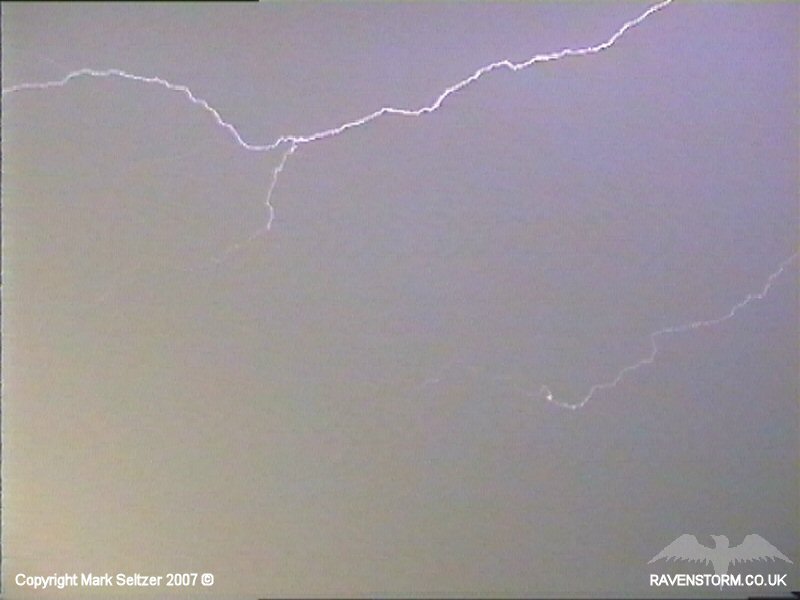
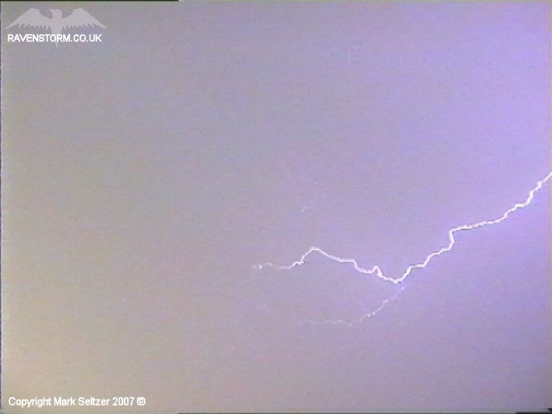
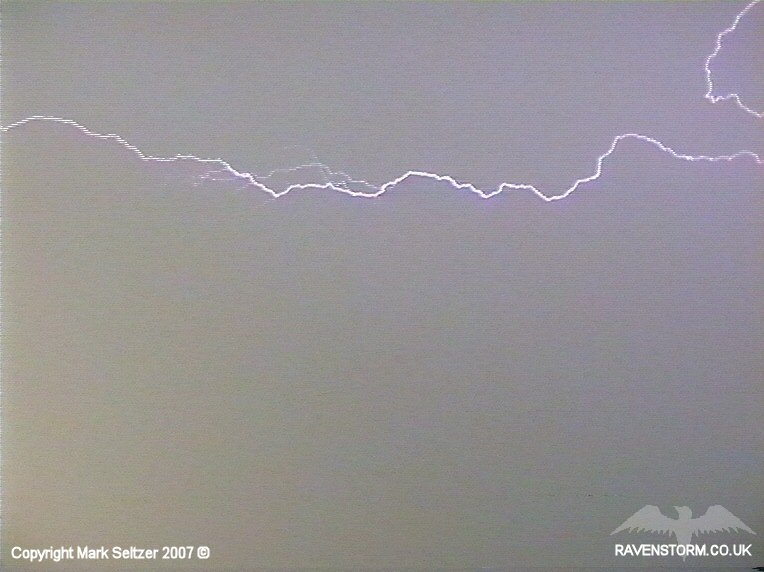
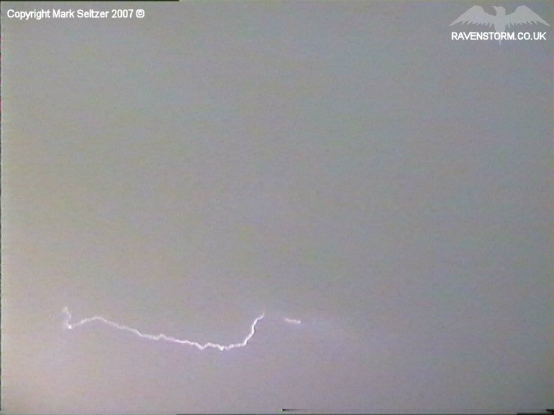
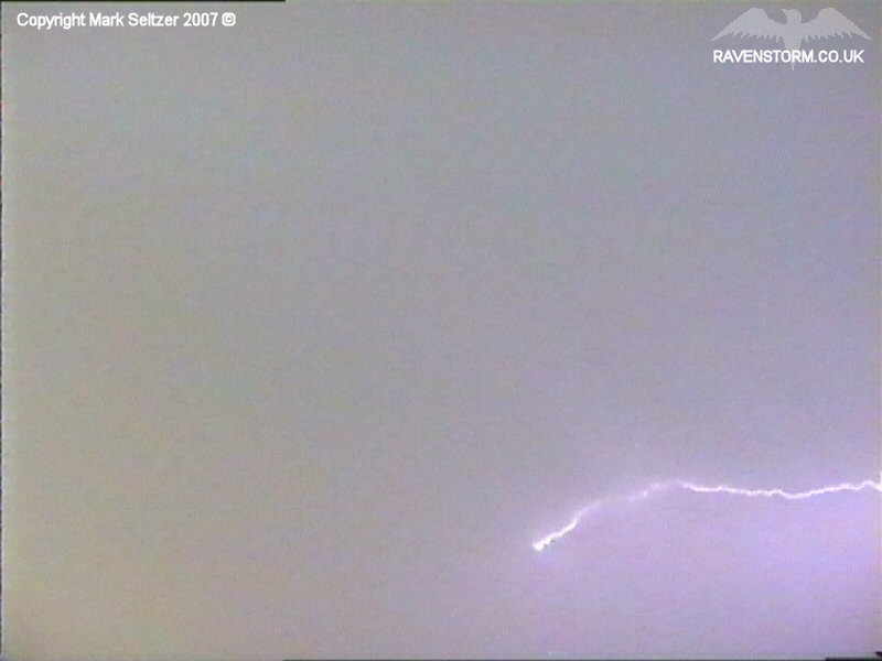
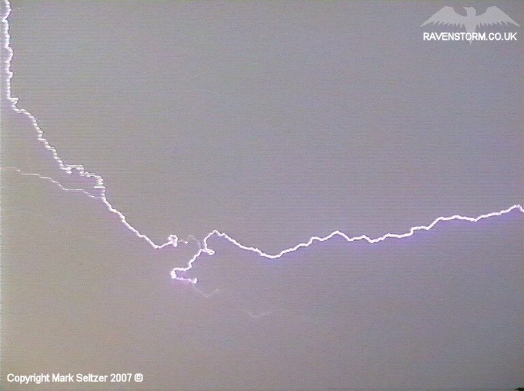
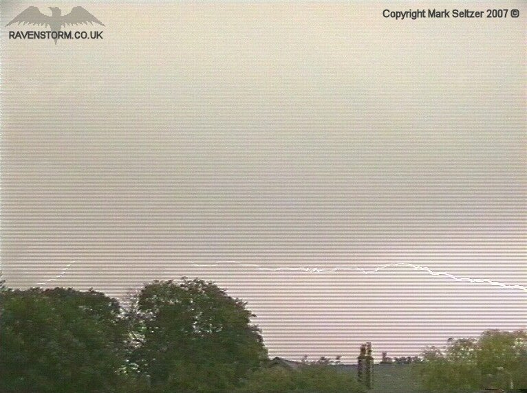
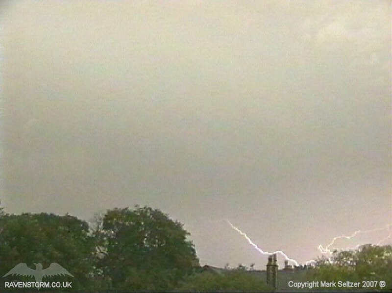
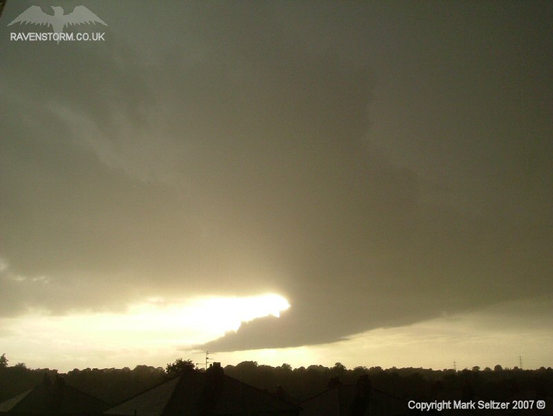
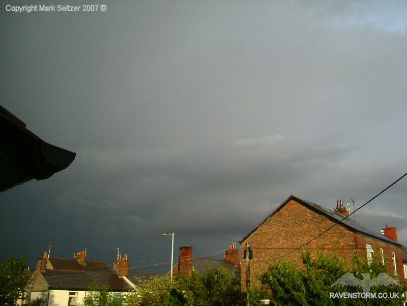
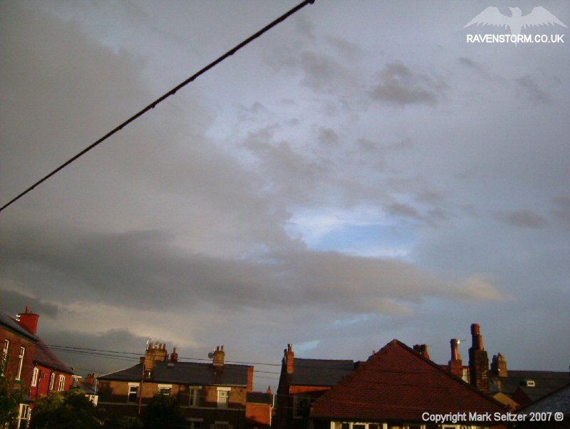
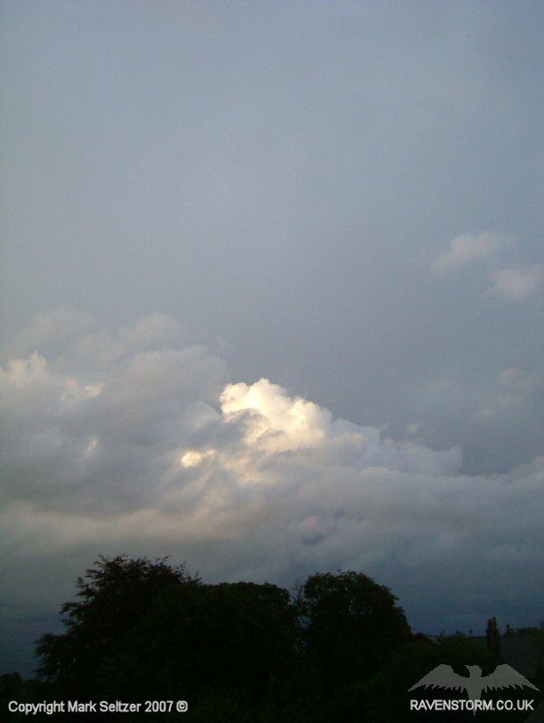
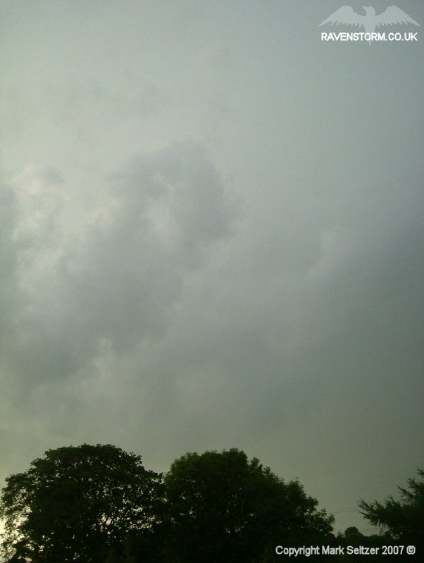
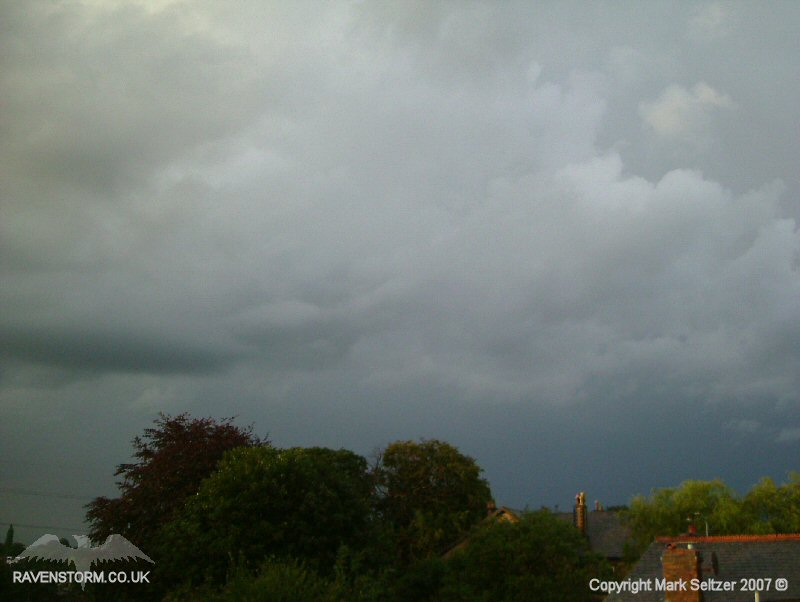
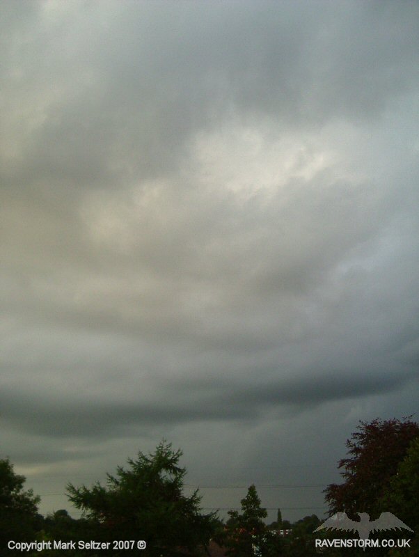
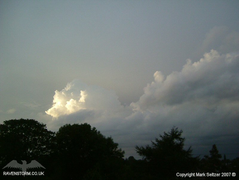
THUNDERSTORM T0054 T0054 was quite a substantial upgrade on T0053 which passed just 2 hours before in the same unstable returning polar maritime airmass, heated by the strong August sunshine. I spotted the cells on the horizon with explosive towers. When it got closer a there was a defined linear arcus cloud all the way along the west horizon. It was clear that this was more organised than T0053 and probably associated with a strong pool of cool sinking air, likely aligned with an embedded upper trough, perhaps with more instability than T0053 being closer to the upper low centre. There was a constant background rumble of thunder caused by weak discharges taking place just behind the arcus cloud that were only visible as very faint flashes. These may have been weak upper anvil flashes too. I was expecting to see some C-Gs from under the linear arcus (common) but throughout the entire storm I didn't witness a single strike of the like. This may be due to the vertical wind shear setup, perhaps not enough to shear the positive and negative regions away, but enough to allow enough rearward-slope to encourage C-Cs behind the arcus. As it got closer the arcus cloud demonstrated classic “Whales Mouth” formation dominating the skies and looked incredibly dramatic. The hidden low-amp lightning was eventually revealed as the arcus went overhead, delivering a large smooth downdraught base in which large C-Cs started to spark in every direction, some with return strokes and renewed leaders. The C-Cs were still of low-amp nature but they looked good and were bright compared to T0053.
This was one of the most fully-documented storms I have filmed in terms of approach, characteristics and departure. The anvils were clearly visible on approach, then the arcus, followed by whales mouth, then lightning display and departure in the sunset. All that was missing was a rainbow.
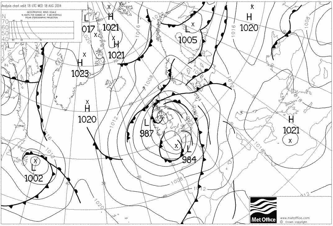
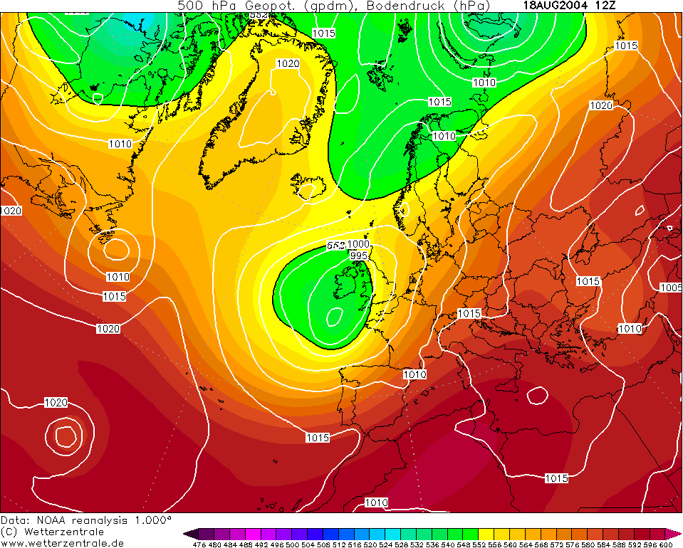
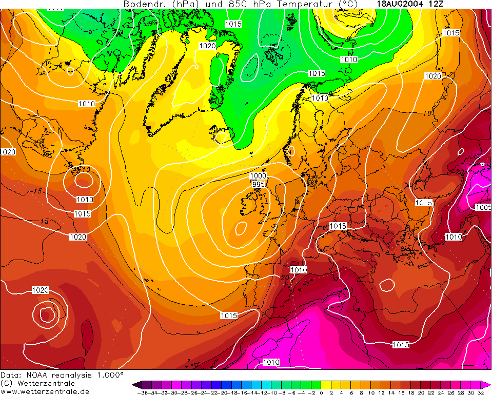
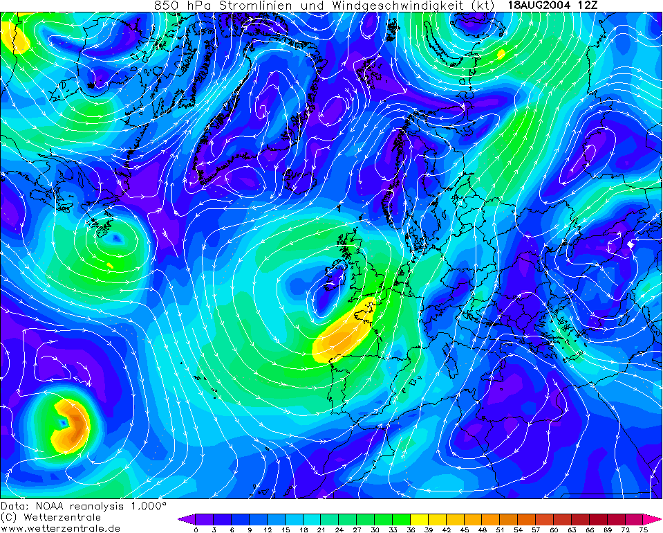
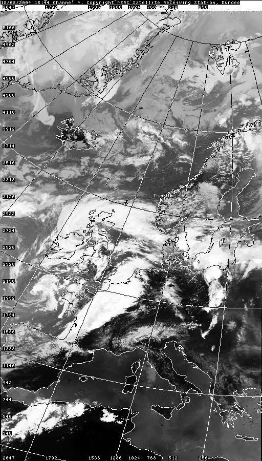
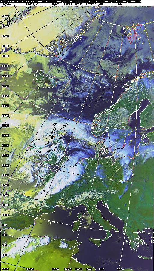
CHARTS
(Credits)
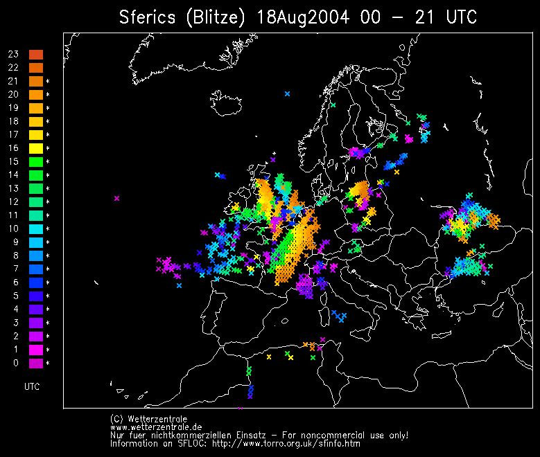
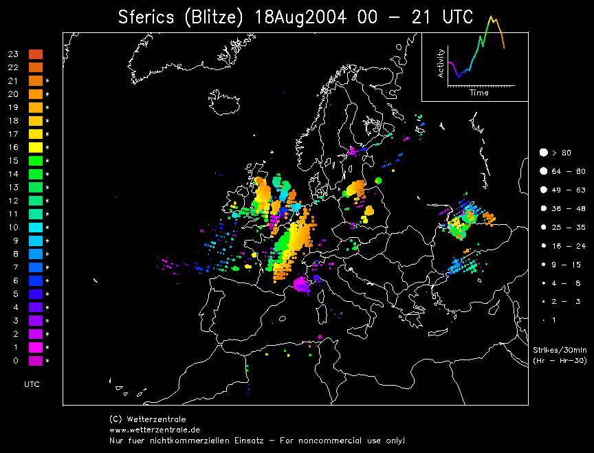
SFERICS (Credits)
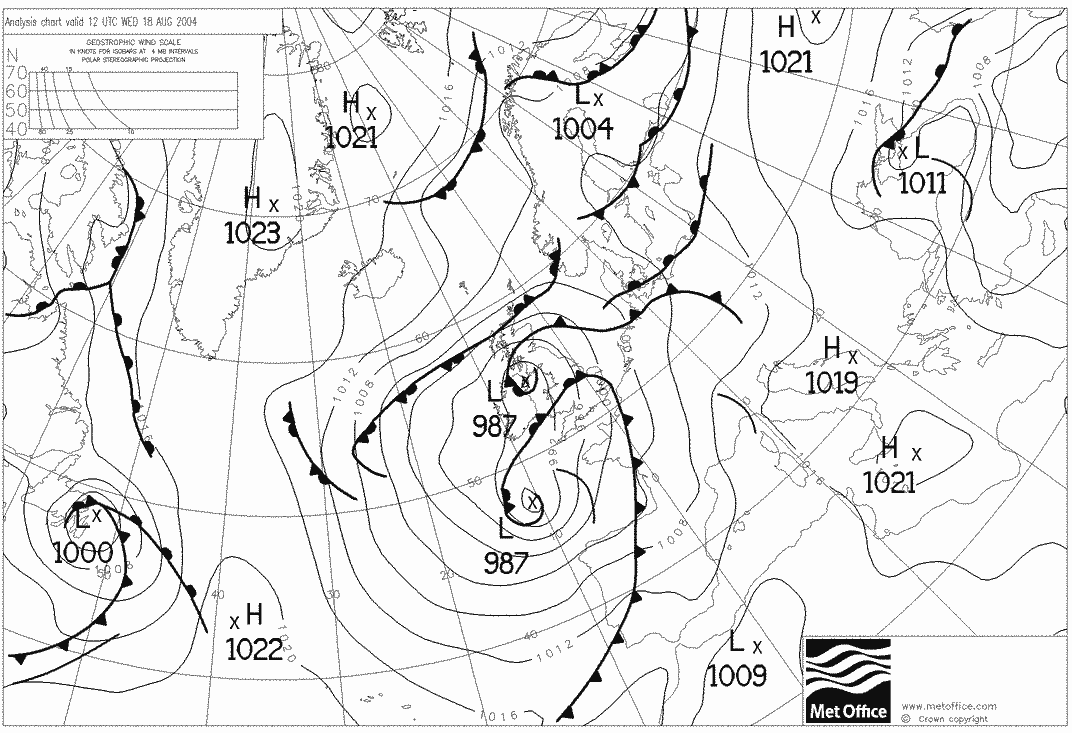
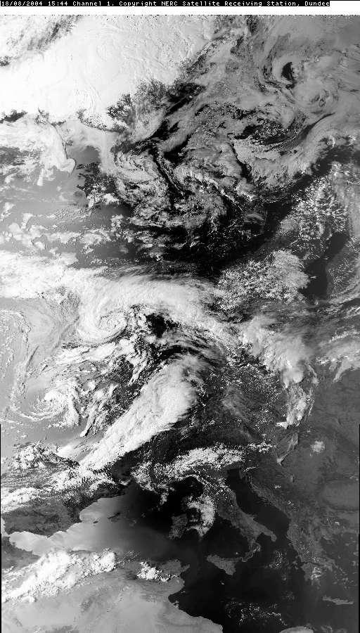
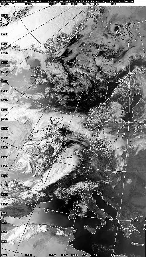
T0053 was embedded in the arc of
convection seen across the Midlands, whilst T0054 is shown brewing in a new
line of convection positioned western Wales.
|


© Mark Seltzer
www.electricsky.co.uk