
![]()
|
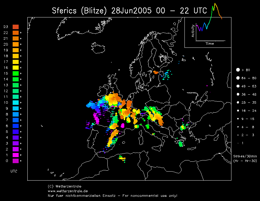
THUNDERSTORM T0056
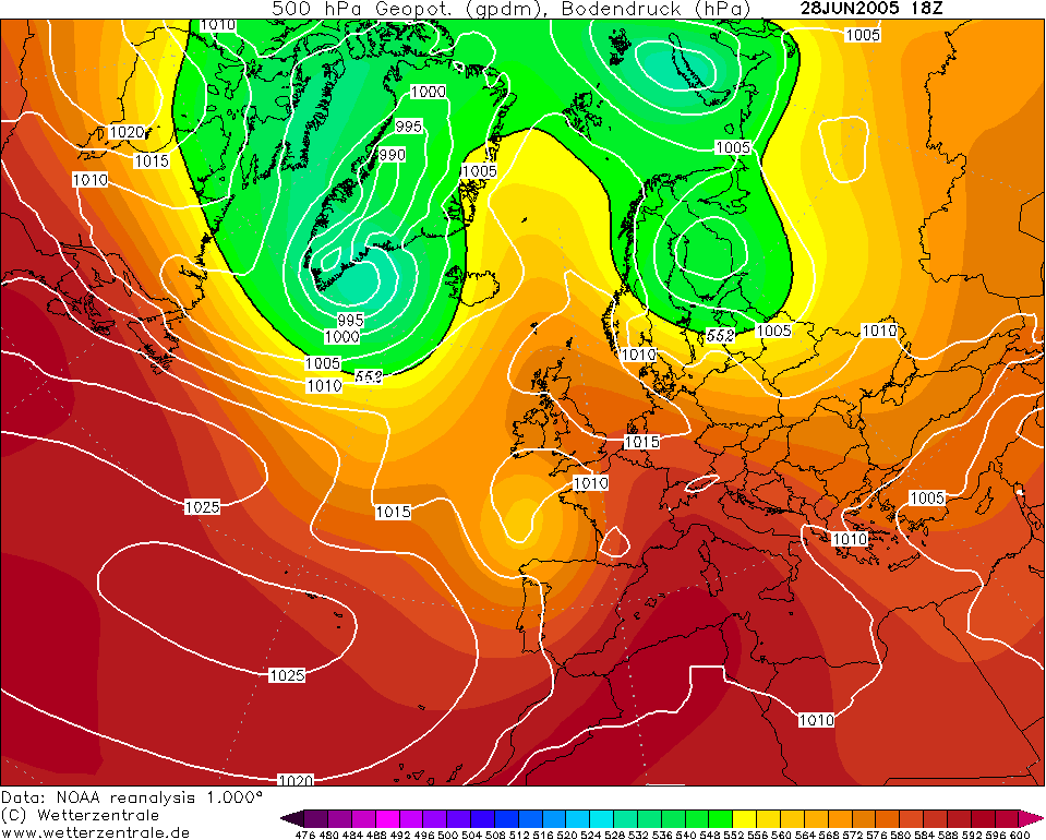
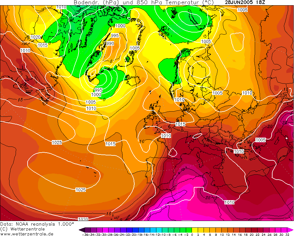
An
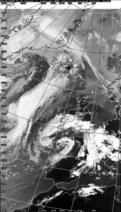
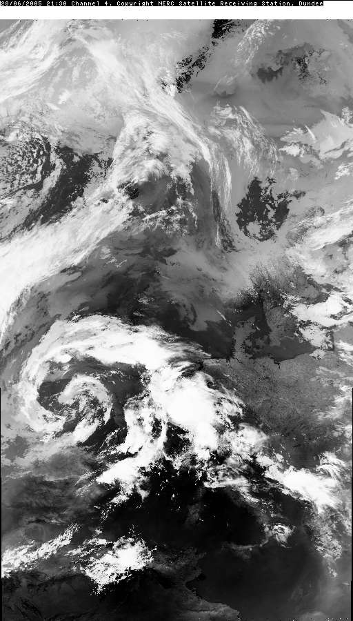
anticipated plume moving up from the continent brought with it some very active
embedded within two separate waves (likely warm and cold fronts of the plume
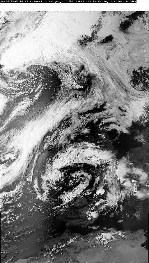
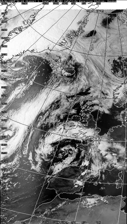
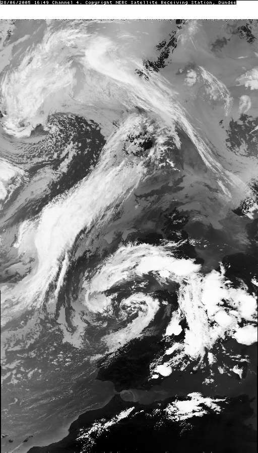
itself). In the north-west
the first wave produced some extraordinarily thick altocumulus of
chaotic-sky nature as instability broke out ahead of the main front,
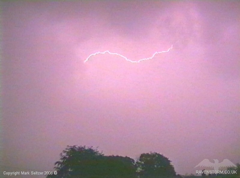
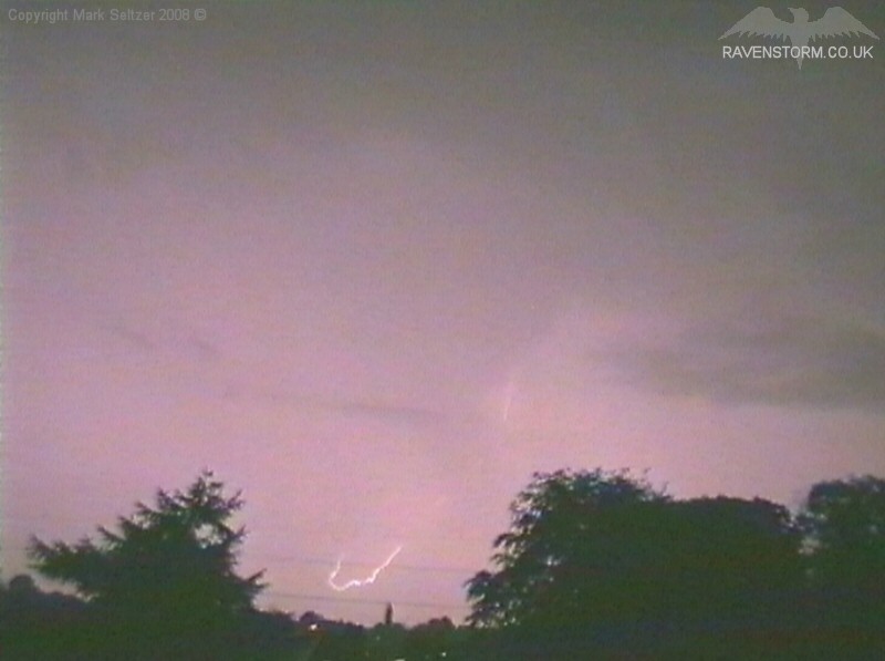
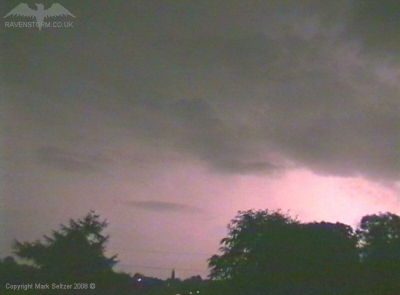
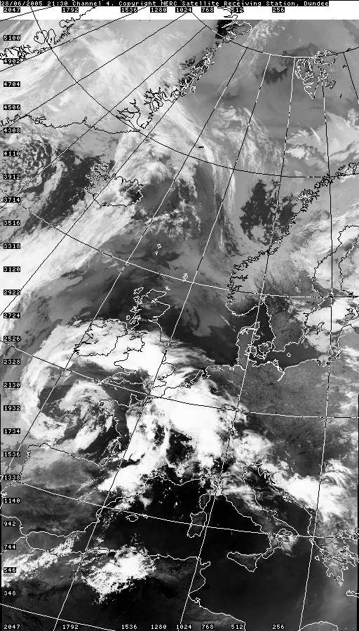
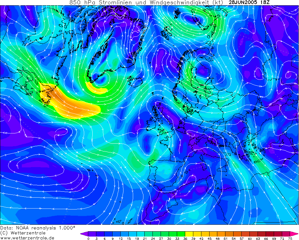
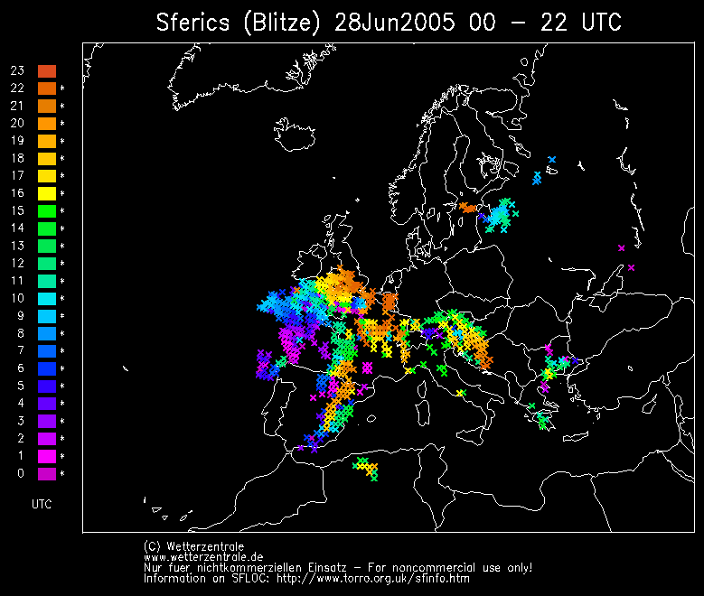
given away Asperitas clouds. Thunderstorm activity within these cloud fields appeared to be most potent further south and east (following the bulk of the plume), whilst the plumes' occlusion was pretty much what we got as the two waves merged to form a large-scale deluge of heavy rain over the north-west region. This occlusion is usually where, in most plumes, the activity becomes less convective and more dynamic (frontal). The lightning activity over Macclesfield reflected this, i.e. sporadic, slow and inconsistent.
This made the lightning difficult to capture as it was occurring in every direction, and in places in call-and-response fashion (multicell characteristic), where a distant cell would flash then a closer cell would respond to it by flashing back. There were only a few close-by discharges, some with high-amp bassy thunders, but not a bad show. Could have been better given the strength of the plume on this day, but that show was gifted to areas further south and east.
SFERICS (Credits) |


© Mark Seltzer
www.electricsky.co.uk