
![]()
|
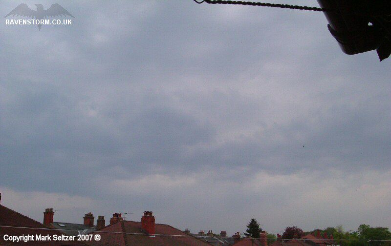
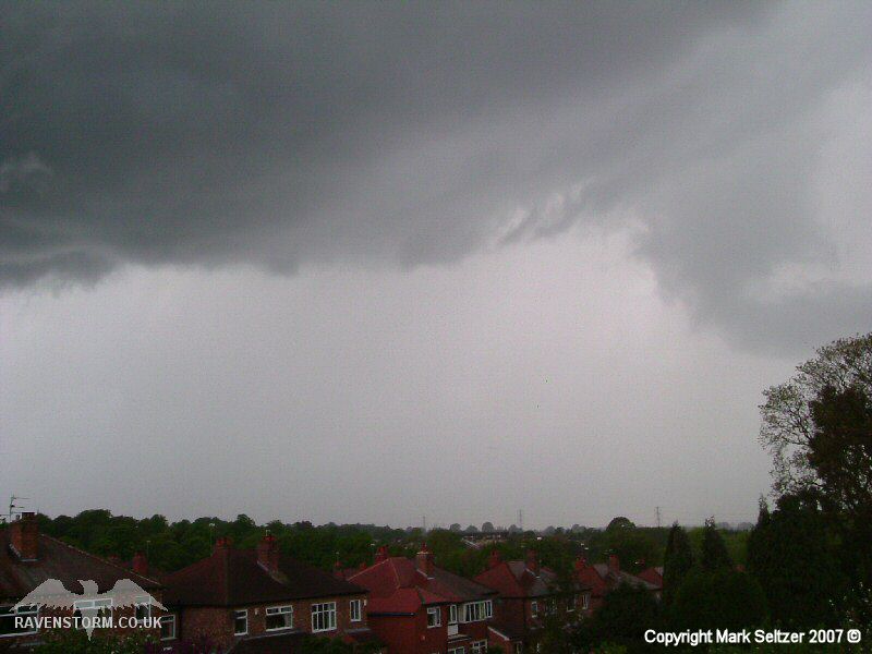
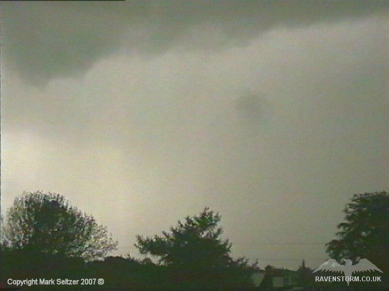
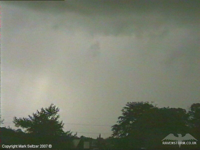
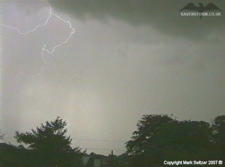
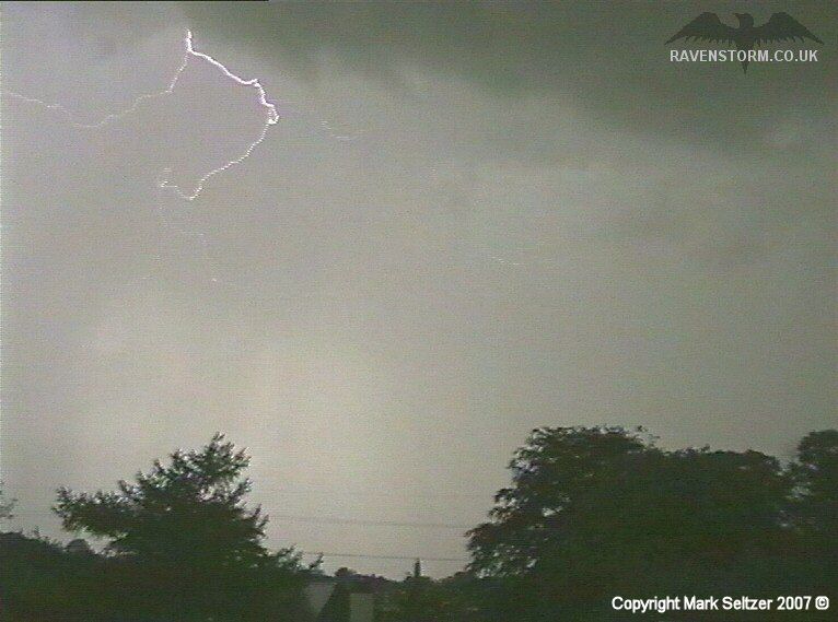
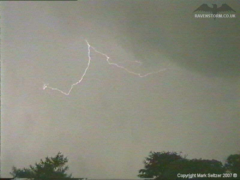
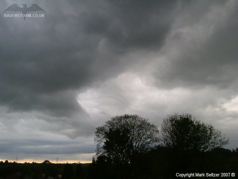
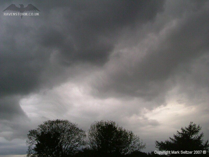
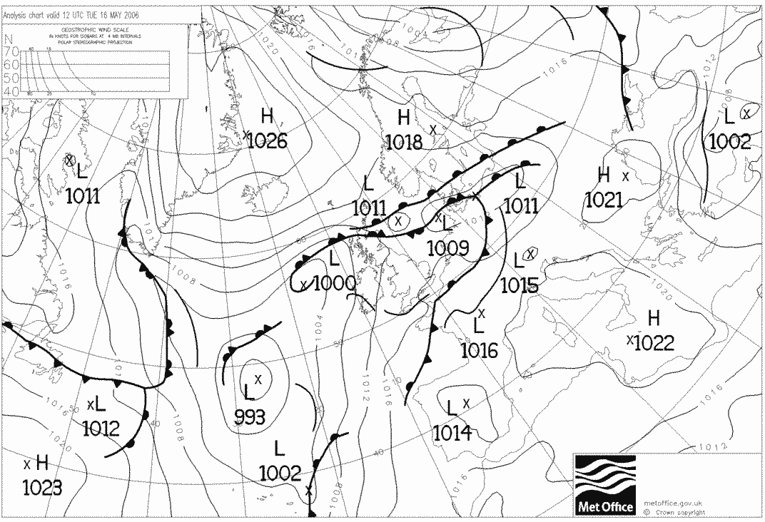
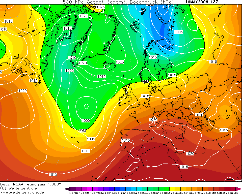
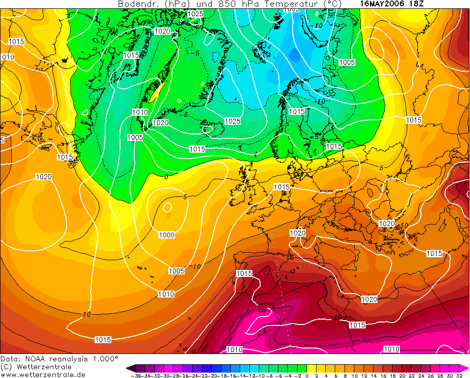
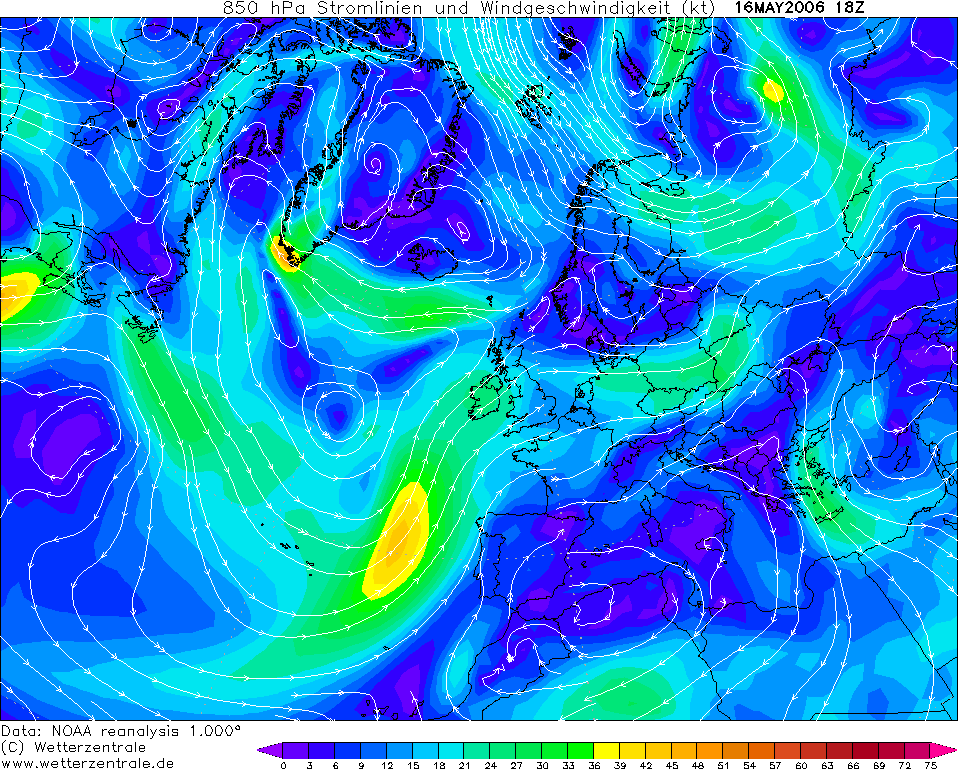
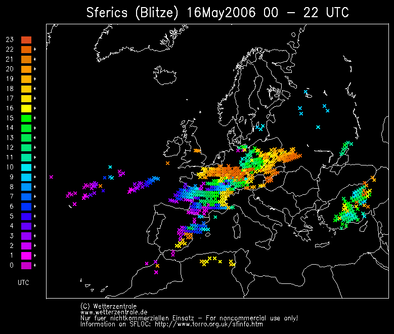
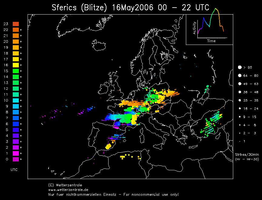
THUNDERSTORM T0059 This storm occurred in the late afternoon, apparently as a convergence zone lying across Cheshire and Manchester. Vertical wind shear was excellent as we had a light southerly flow accompanied with a fairly strong west-southwesterly upper-flow. It seemed to be developing quickly in places with a strong updraught bases just south of the rain curtain (which was to the north). There were only three close discharges throughout the duration of its passing - two of them were close directly in the camera’s view, but slightly faint with the off-chance one of them was accompanied with a C-G judging by the loud crashing thunder it produced.
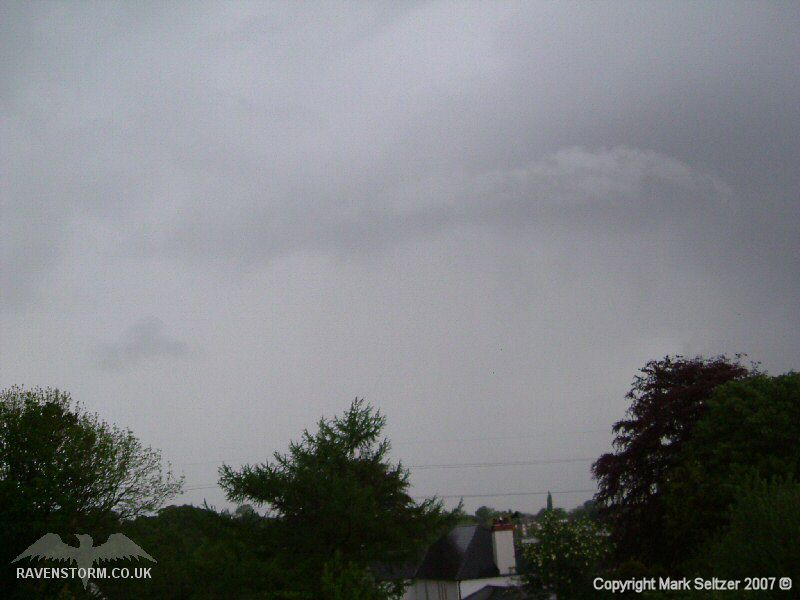
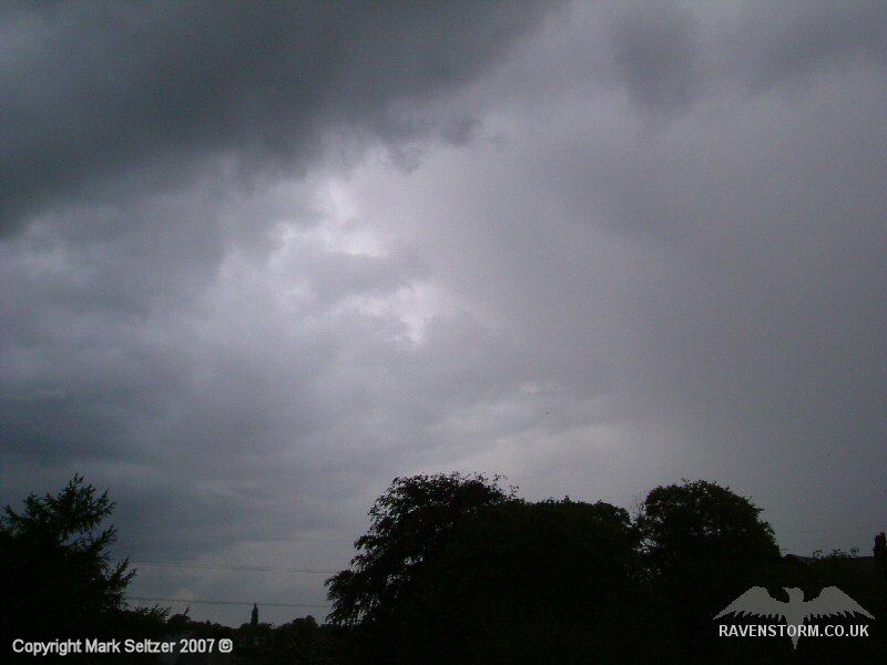
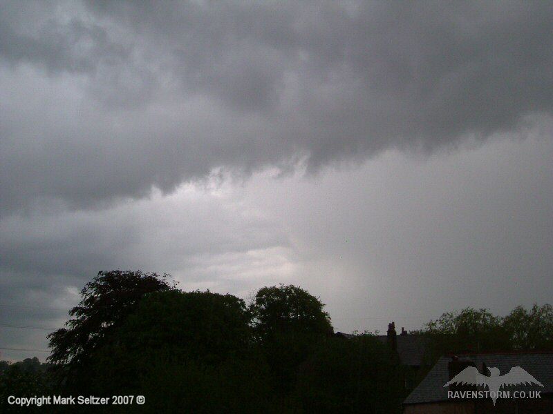
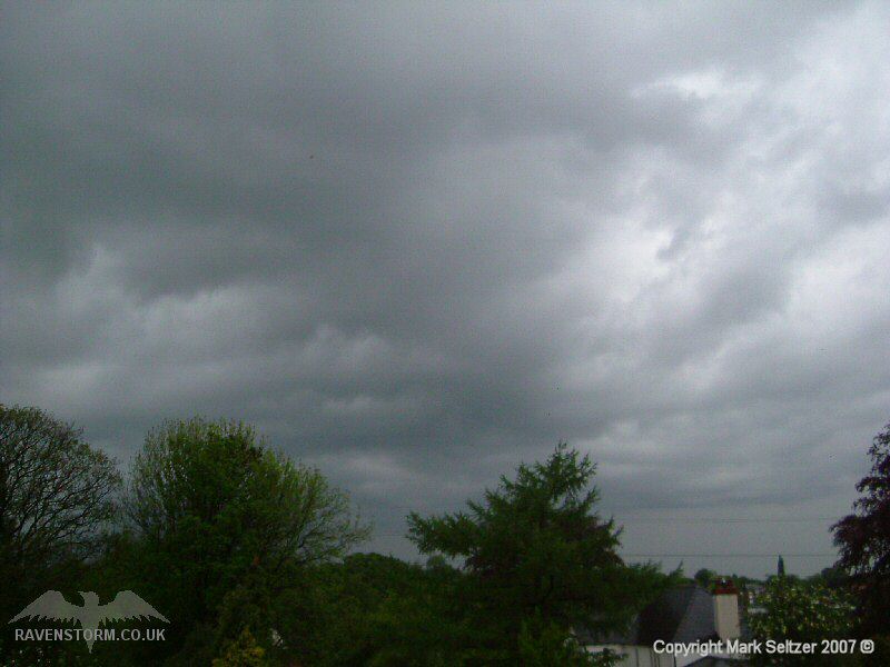
As the convergence line shifted east shortly after the discharges, there was a torrential downpour of rain with mixed pea-sized hail. The cloud base after the rain had cleared was very photogenic with turbulent rolls of stratocumulus mixed with the cumuliform bases.
SFERICS (Credits) |
© Mark Seltzer
www.electricsky.co.uk