
![]()
|
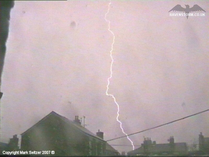
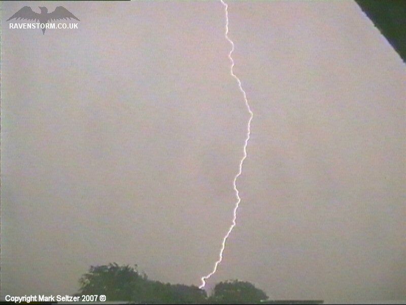
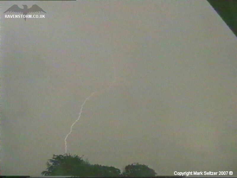
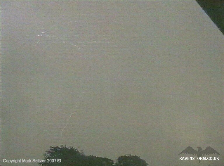
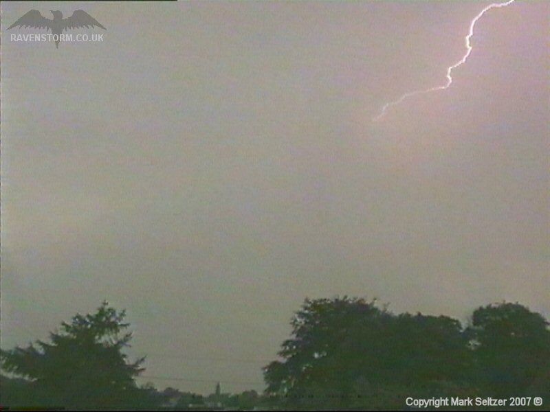
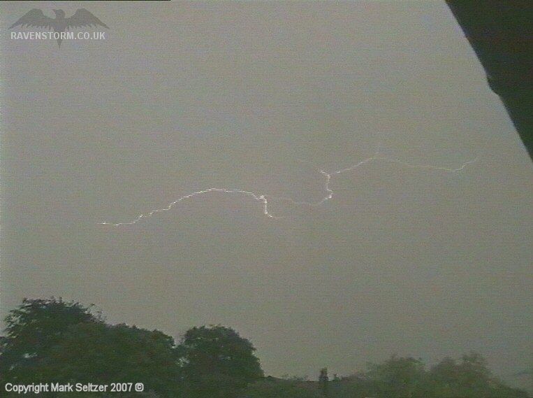
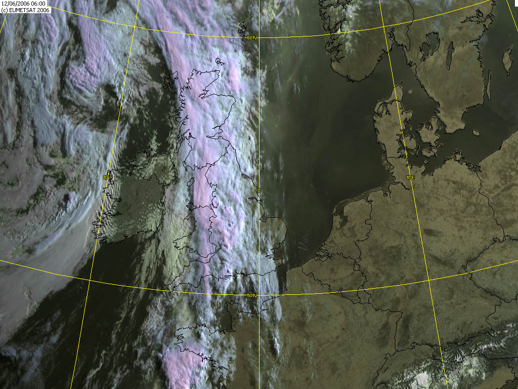
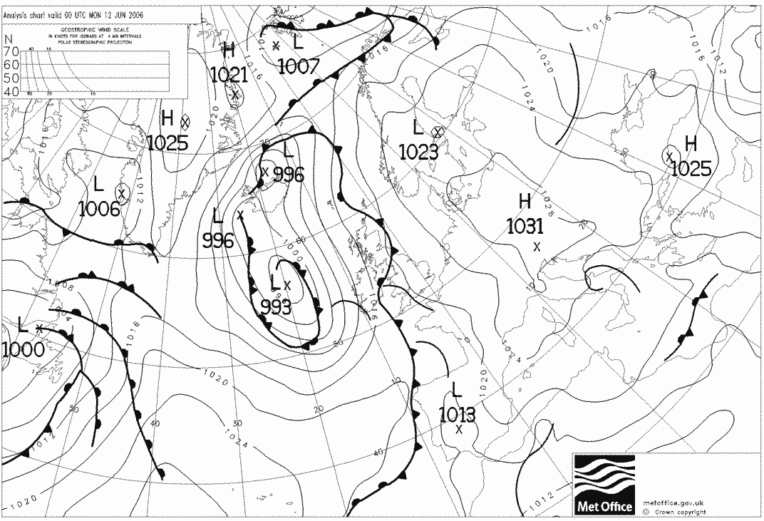
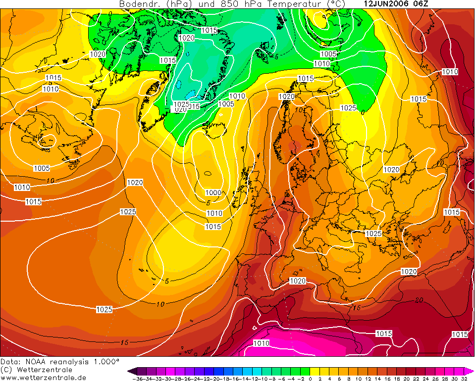
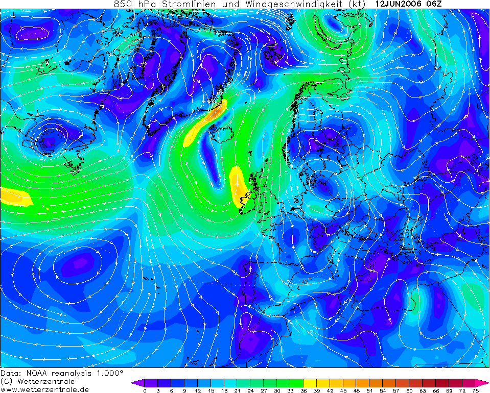
THUNDERSTORM T0060 An elongated meridional cold front draped over the British Isles from north to south was tapping into an unstable continental plume, also dragged up from the south. At 6am BST a particular wave approached Macclesfield from the West Midlands at high speed, with warm and humid surface air (already 21C!), eventually making a direct hit around 7:15am BST. I was asleep, but luckily the noisy C-G it was dropping woke me up just before it went overhead. It was incredibly difficult to film initially, facing south into a strong and gusty wind. The rain driving into the face of the camera and into the room. After capturing a lucky C-G I had to give up and point the camera northwards before I broke it. I continued to be lucky though as the C-G strikes followed my camera rather than the usual reverse situation.
Not a bad storm in the end, and some
of the closest CG strikes I've captured to date.
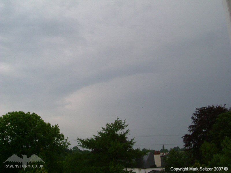
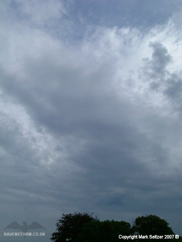
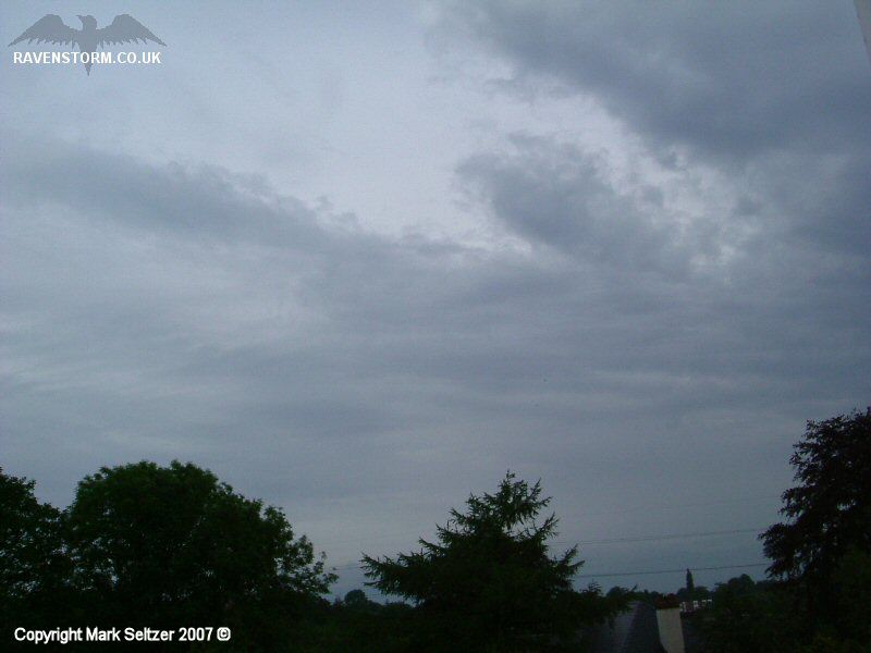
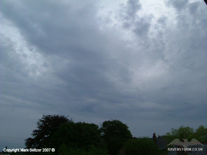
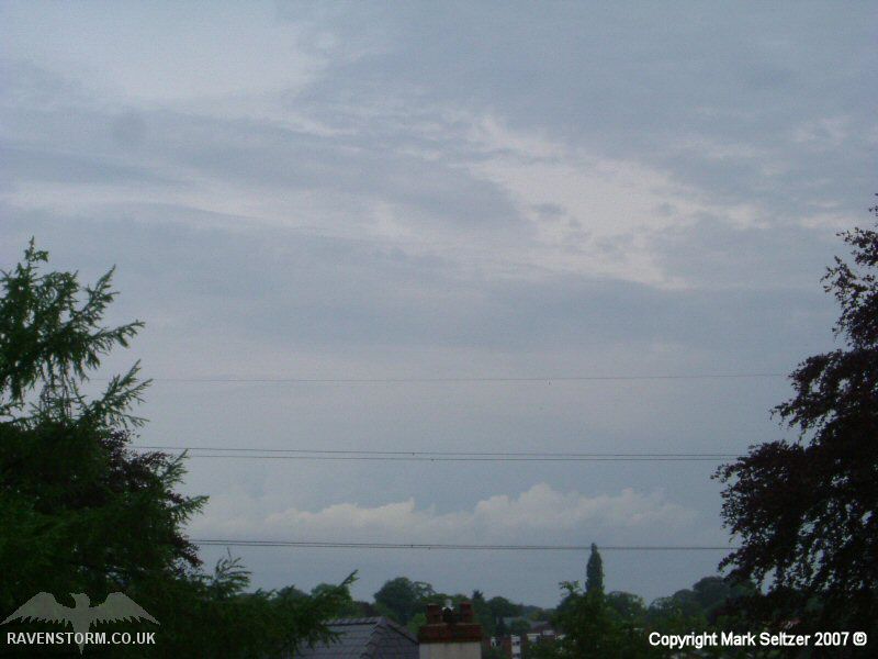
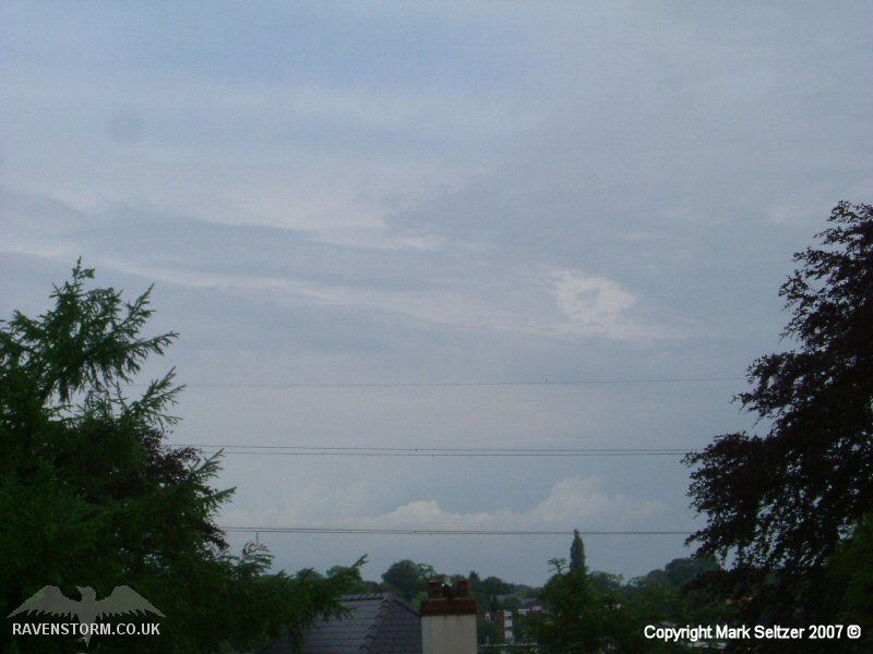
As the storm passed
it left behind the usual frontal layers you would see to the rear of a
cold front, abeit slightly more broken than you'd expect with the
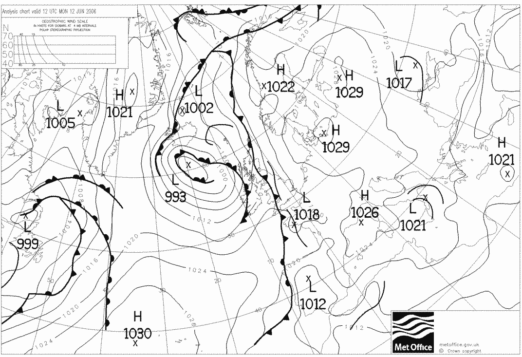
convective element. Later that day the cold front was still affecting
Northern and eastern England, and further, potentially more severe
storms developed in the afternoon heating.
SFERICS
(Credits) |

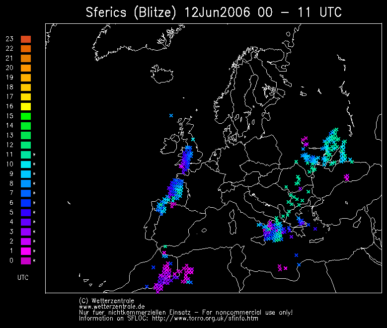
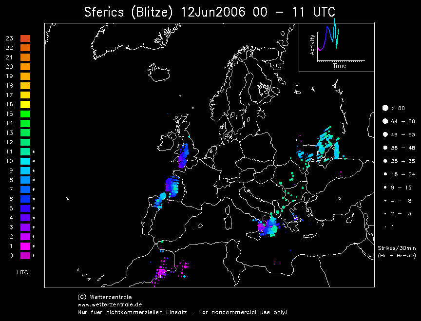
© Mark Seltzer
www.electricsky.co.uk