
![]()
|
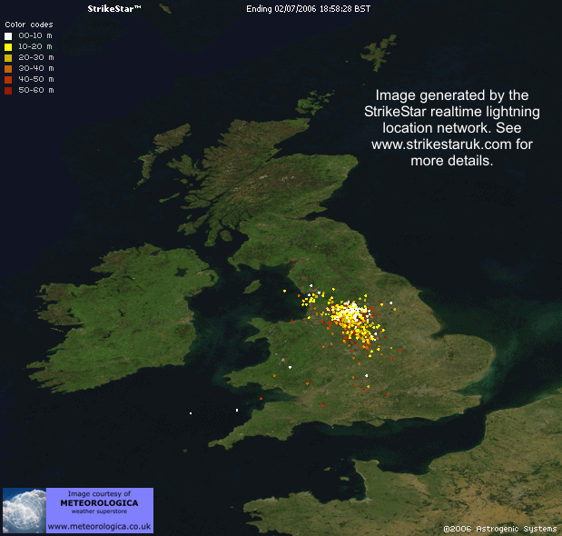
THUNDERSTORM T0061
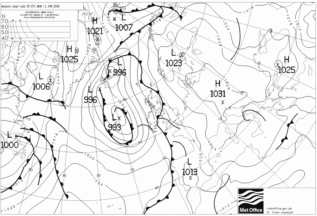
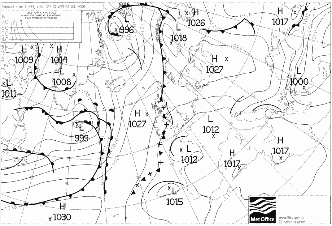
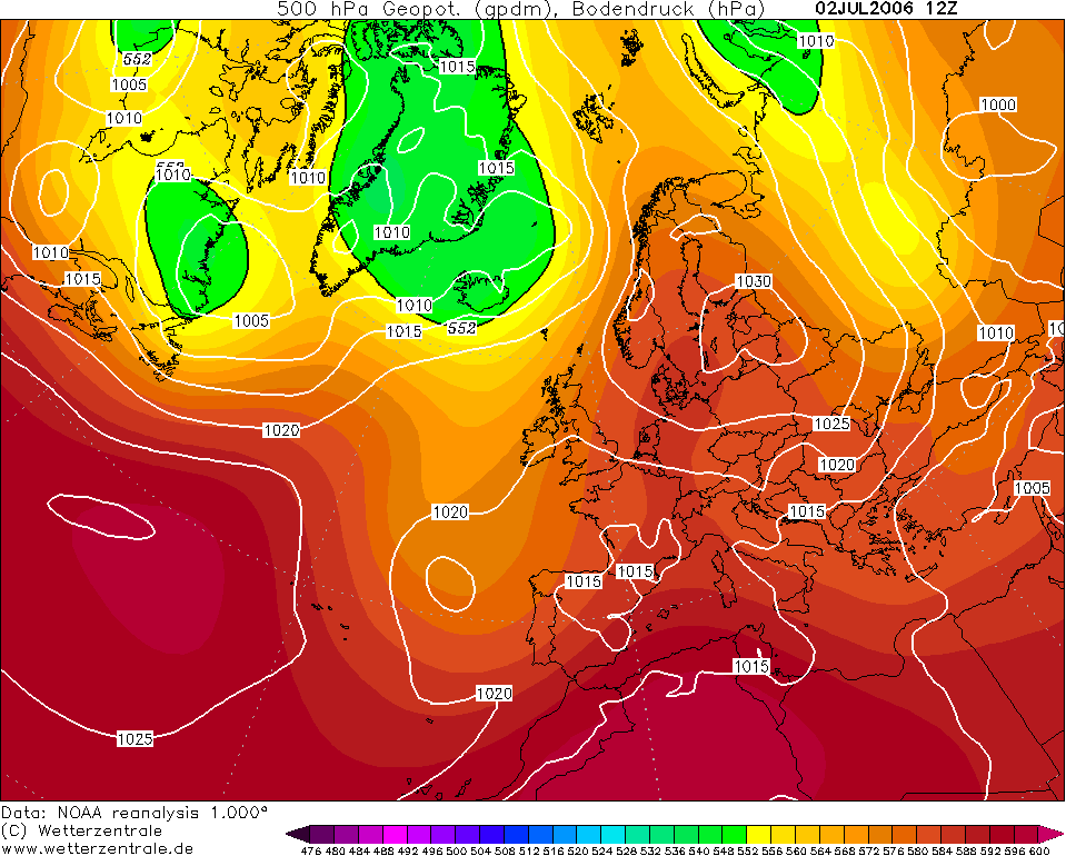
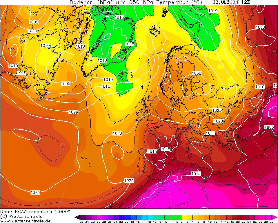
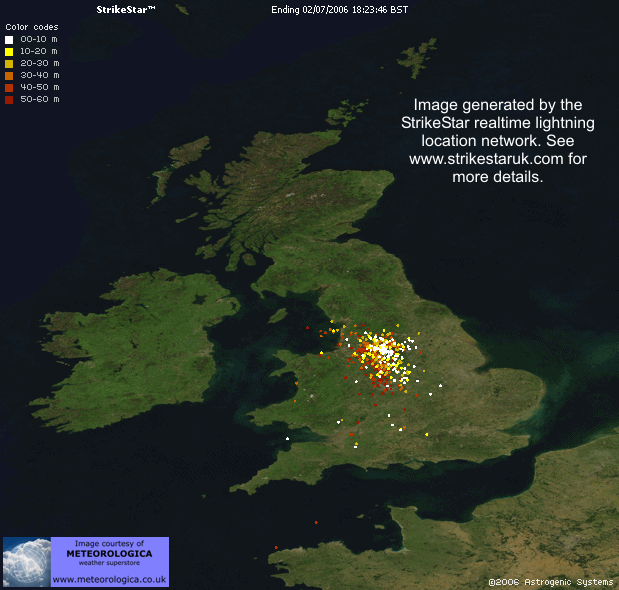
This was the day that Manchester saw flooding and severe
lightning on the 2nd July 2006, due to a particular back building cell to
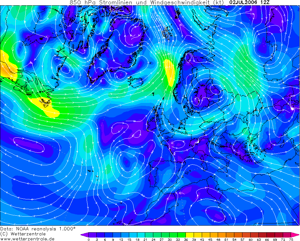
the north. News links and a paper study below: It was in its developing stages as I documented it and the development zone passed over Macclesfield. Multiple large cells were seen (irritatingly) all around the horizon, missing Macclesfield by around 10 miles and I had no vehicle at the time to venture out with. The weather situation was a slowly moving warm plume, likely preconditioned by previous day's heating, coming up from the south and interacting lightly with a slowly approaching Atlantic trough. There were some large thunderstorms Southwest earlier in the morning which dissipated as they moved north. The afternoon heat kicked in and cells were firing very quickly in the northwest of England. The atmosphere was very humid, some of the following images are enhanced to overcome the haziness in the atmosphere, and the red one has a filter over the lens.
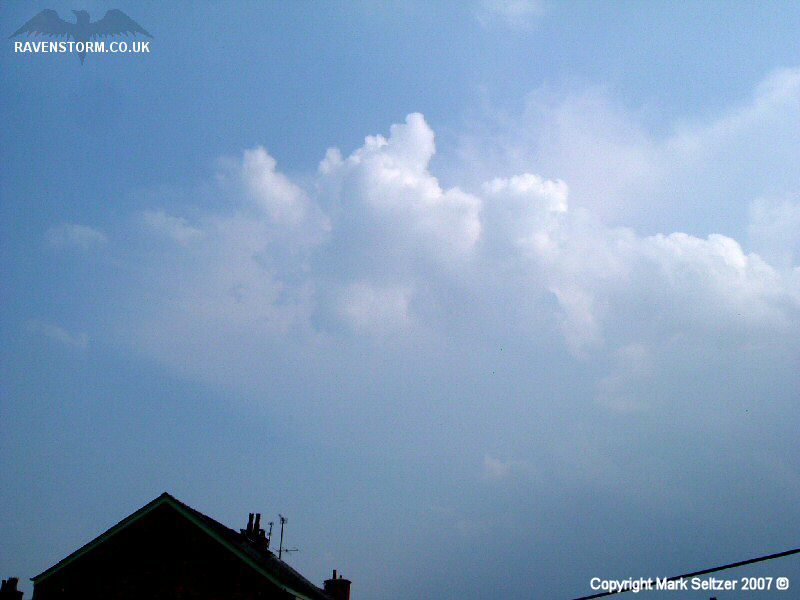
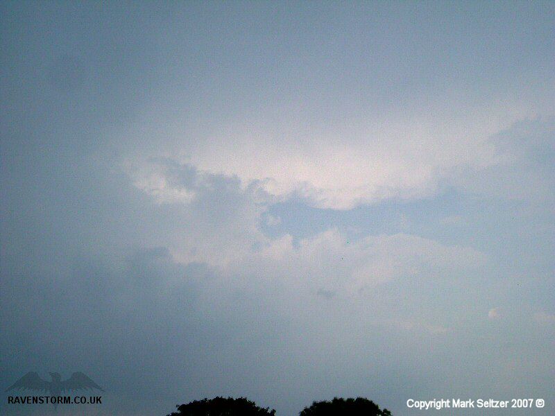
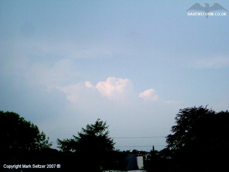
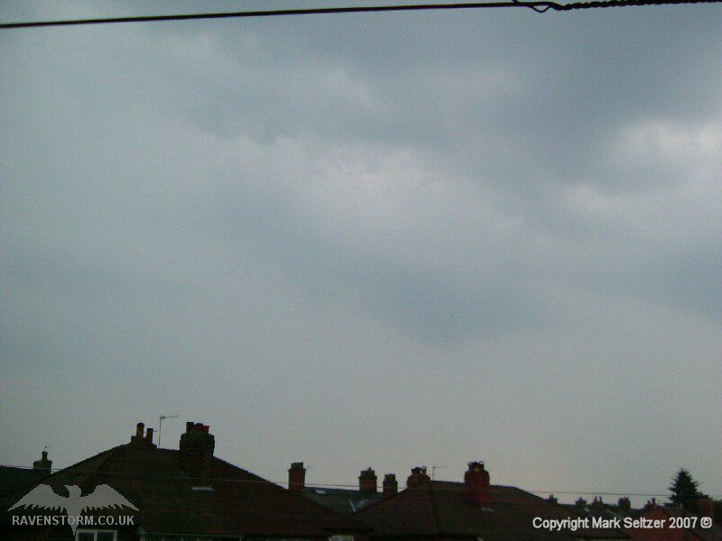
A first cell passed to the west and gave a few odd distant thunders as it progressed towards Manchester, and then a second cell approached from the south.
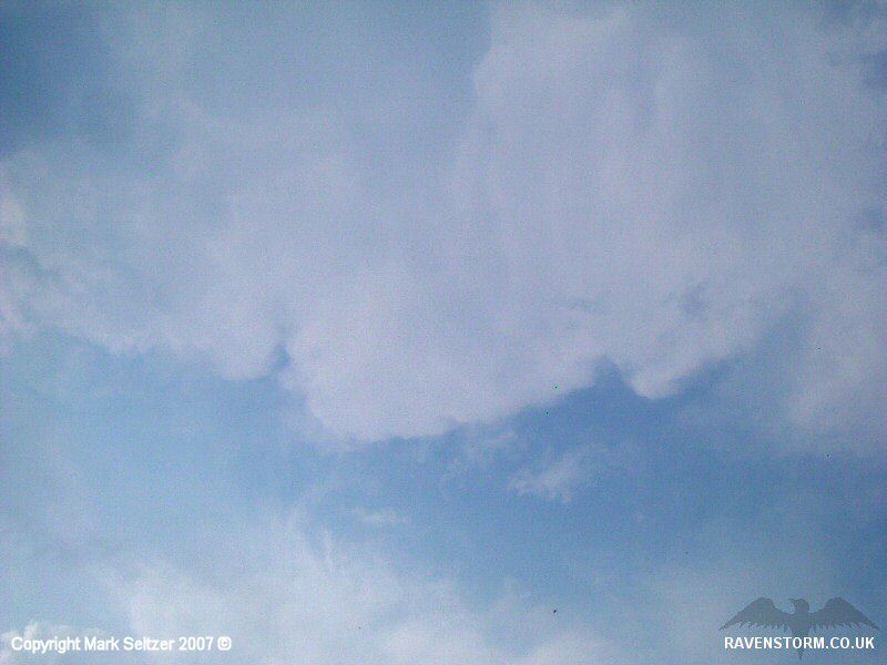
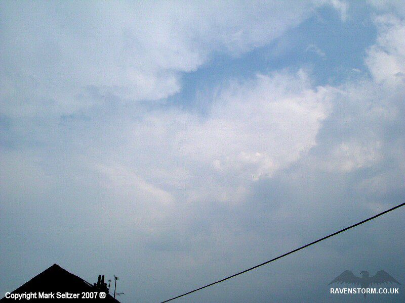
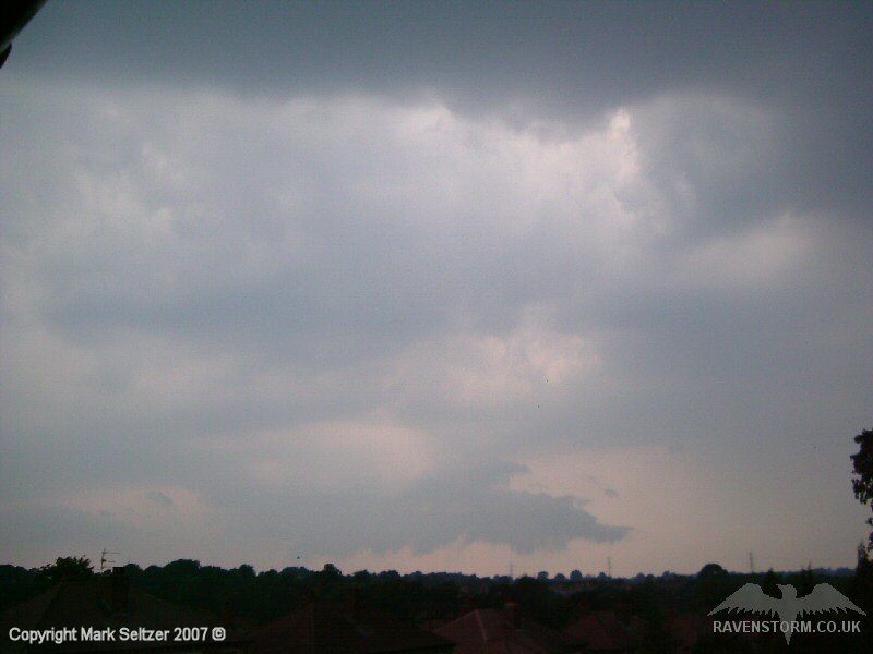
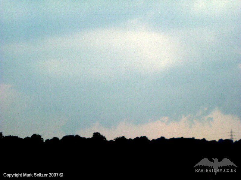
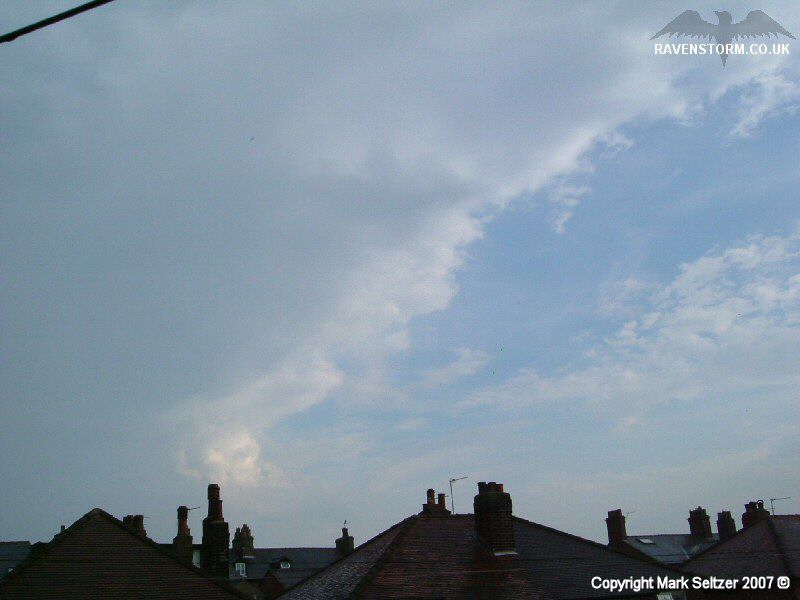
A rapidly developing arcus/shelf cloud was spotted mid-birth to the west, likely outflow and convergence generated. This brought what appeared to be mid-level convection into surface-based mode. This would have been one of the fuel lines for the intense cells that hit Manchester as it progressed northwards. The skies went really black in the Manchester direction as the development continued.
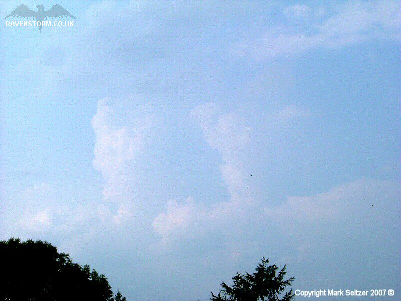
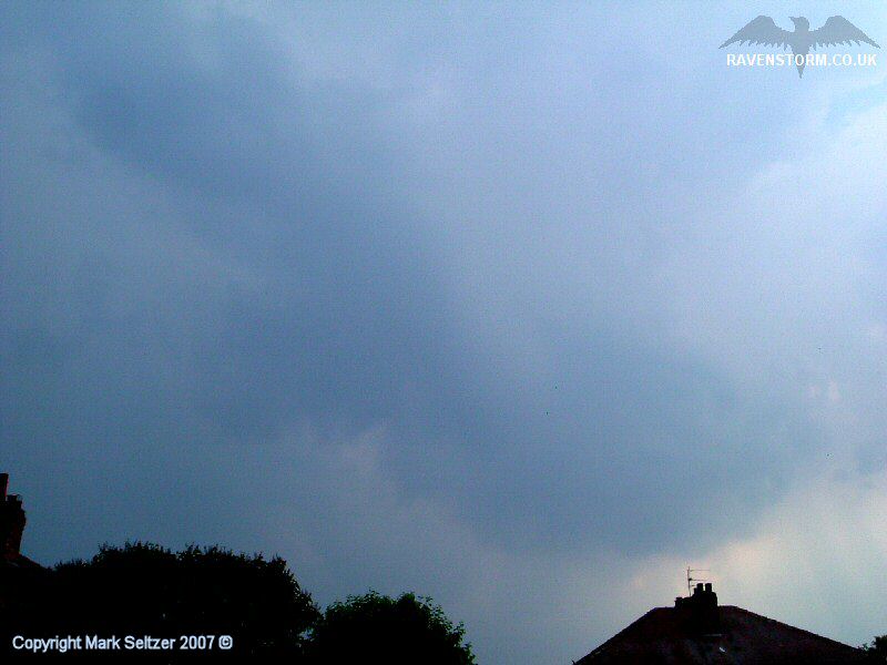
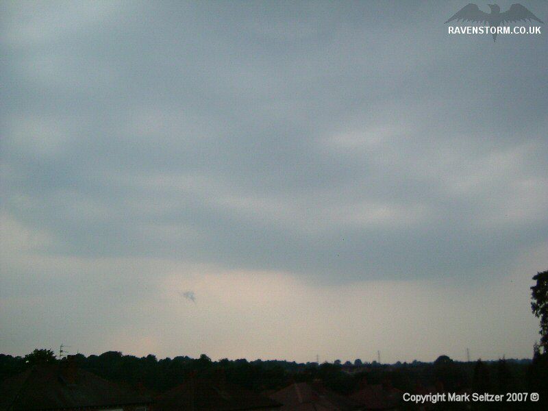
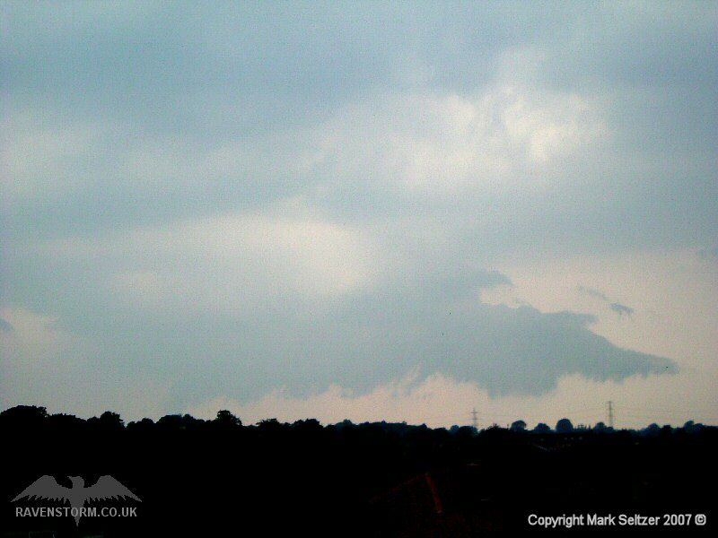
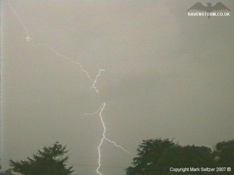
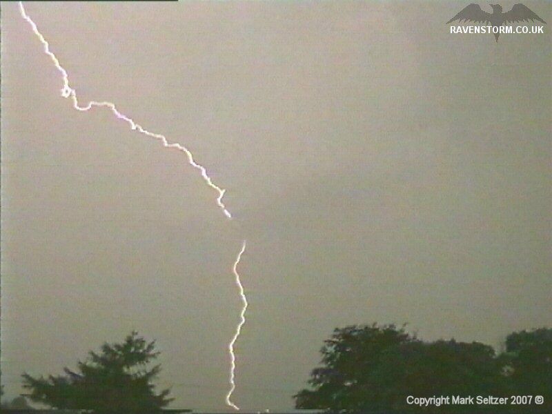
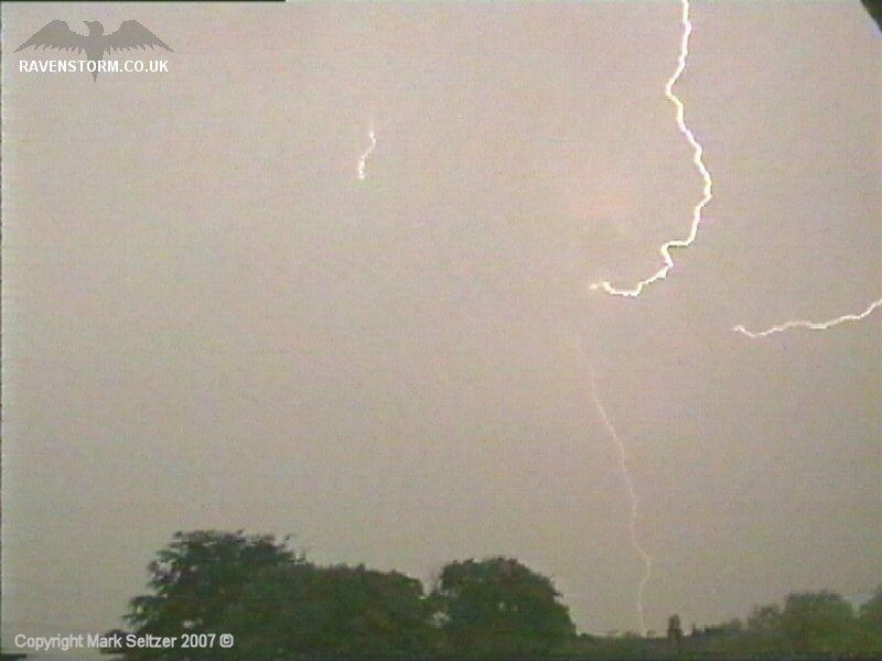
The second cell actually went right overhead but the core was positioned a few miles to the southeast as it pulsated northeast over the Pennines. Much of the rain fell to the east of Macclesfield and only a couple of close C-Gs were dropped nearby. The heavy rain and high humidity hid the I-C and C-C lightning well, if there was any, as I couldn’t tell where the lightning was occurring at times.
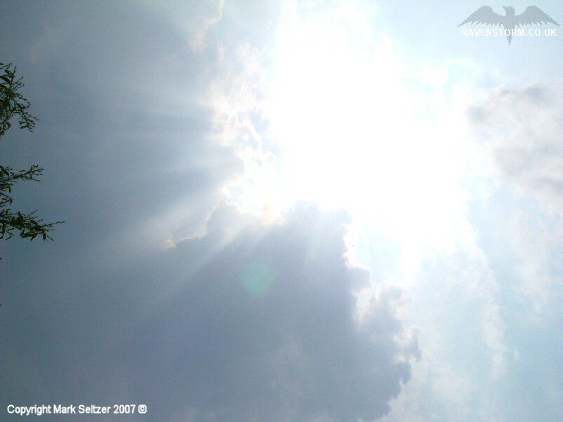
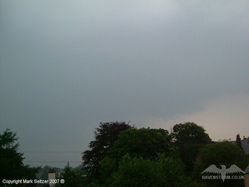
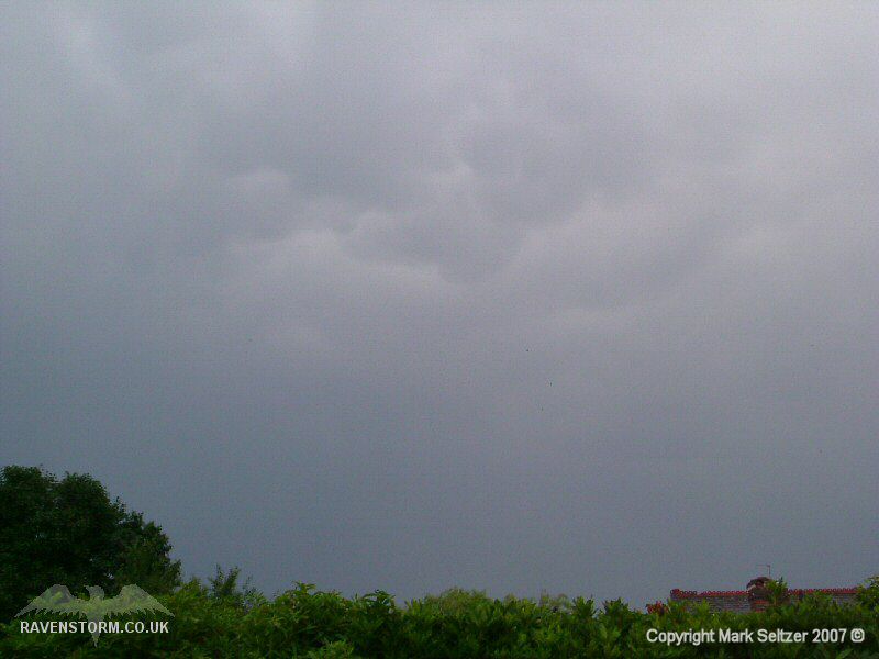
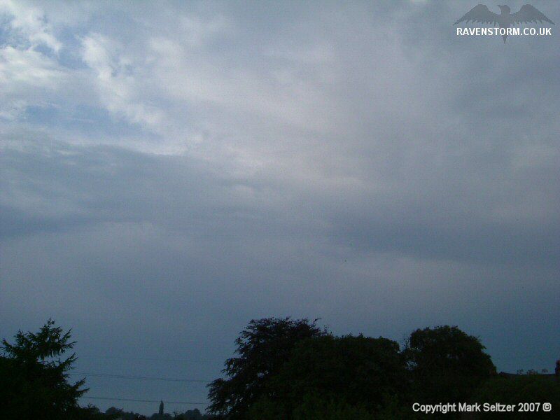
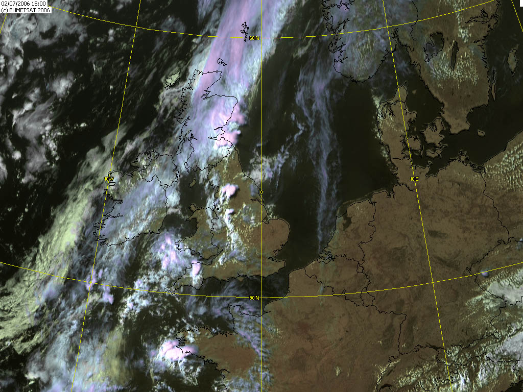
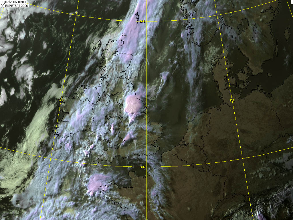
As the storm left an overhanging anvil which lingered for at least an hour as cells continued to develop over the Pennines to the East. Meanwhile Manchester saw the worst of this storm system due to back-building (judging by radar) with quasi-stationary persistent torrential rain. Marble-sized hail and lightning damage to someone’s roof were reported in news. The satellite images show clearly how large and explosive the development of this storm was, however with these types of storms the main cores are always very local.
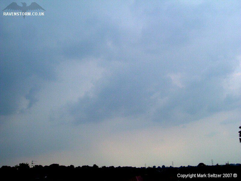
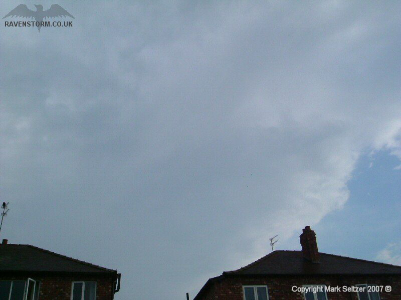
Another key feature was spotted as the storm left Macclesfield; a strong outflow current on the North West horizon with ground-level cloud rolling in the direction away from the storm (south westerly direction). This lasted for about 10 minutes before vanishing.
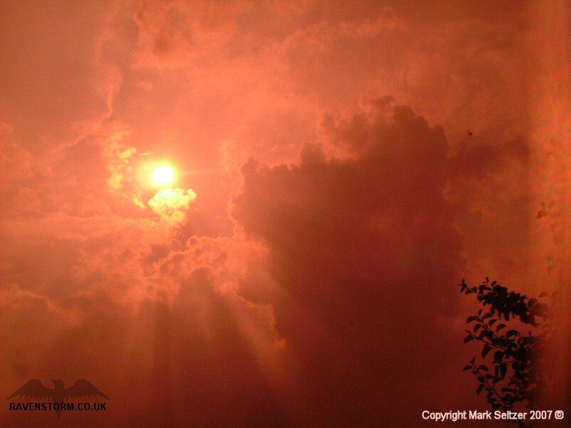
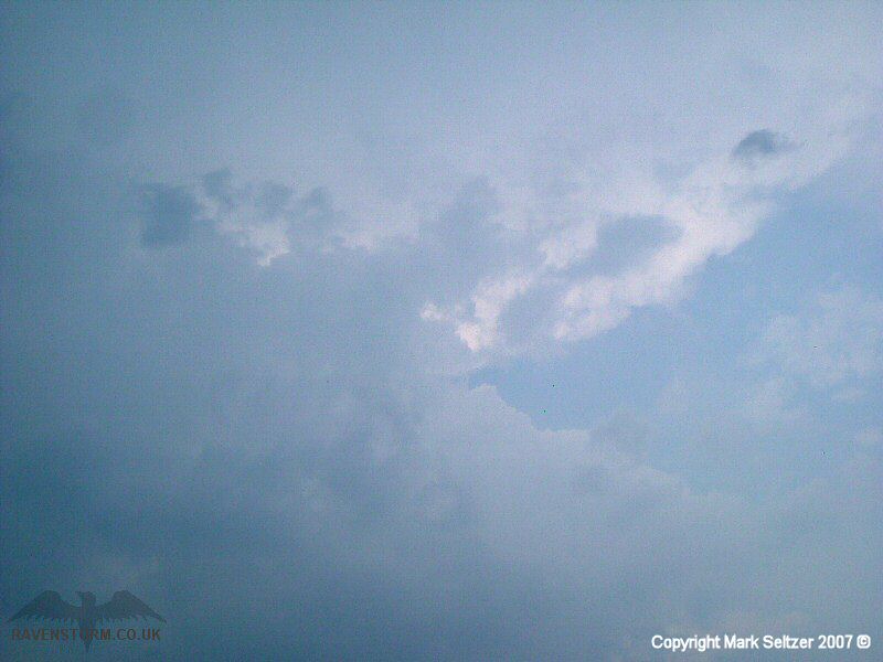
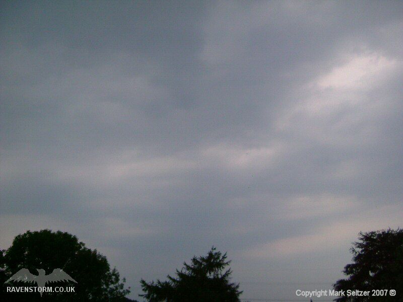
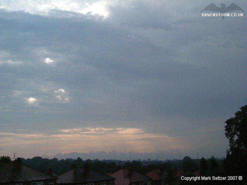
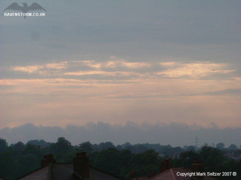
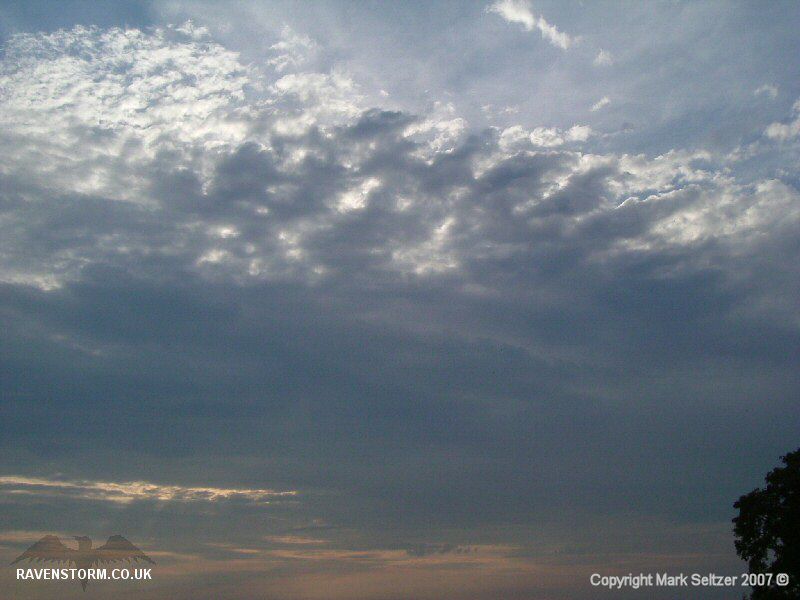
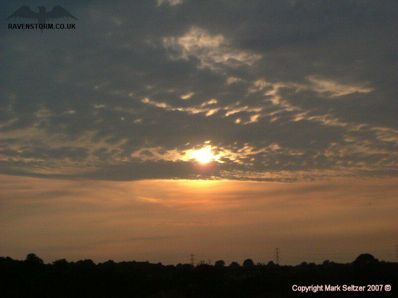
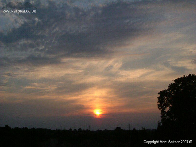
The altocumulus sunset
post-storm was also rather nice.
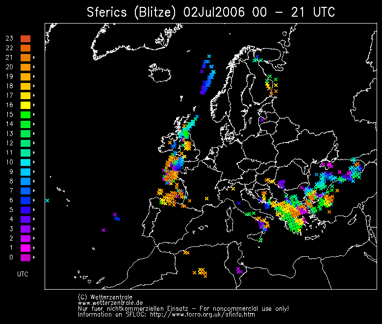
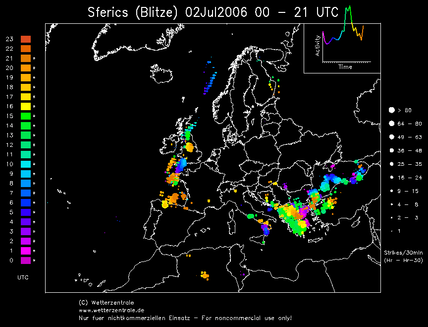
SFERICS (Credits) |


© Mark Seltzer
www.electricsky.co.uk