
![]()
|
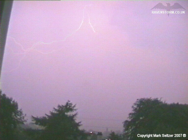
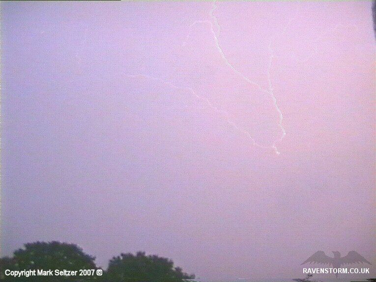
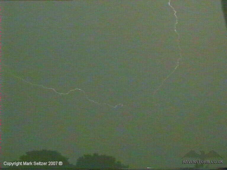
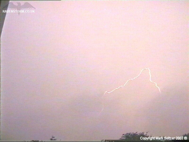
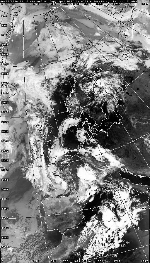
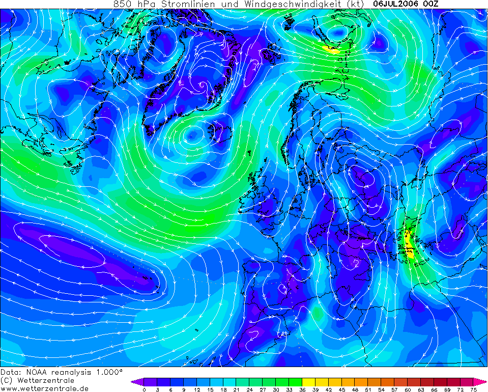
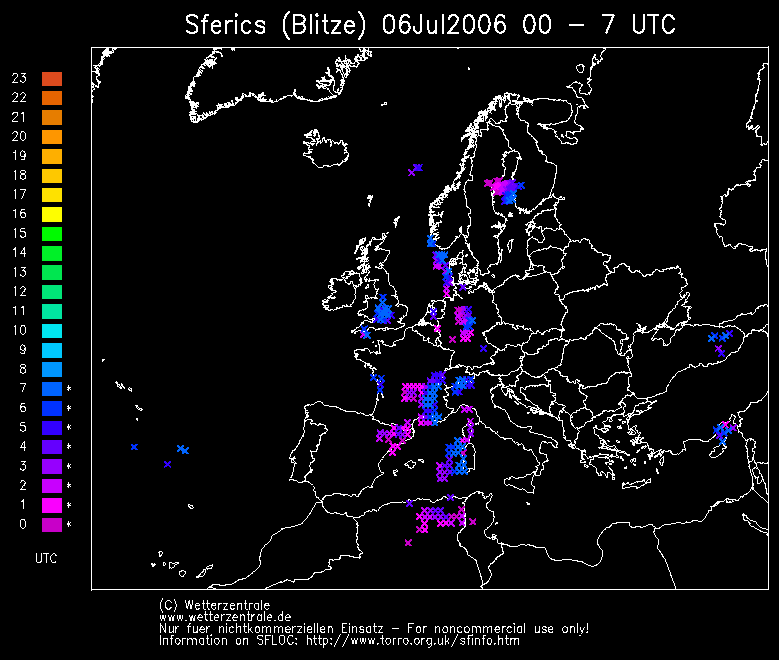
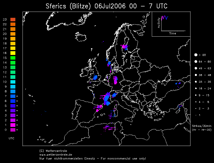
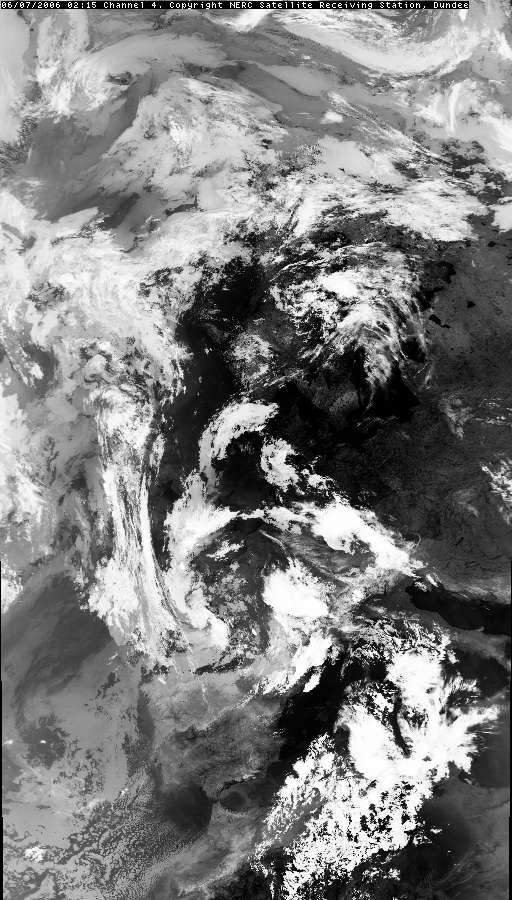
THUNDERSTORM T0062 This storm caught me by surprise (as it would anyone at 4am). However I was already up and moving about before the first discharge of the storm, for some reason, perhaps the rain woke me. I observed it was quite misty outside with humidity and the rain was falling moderately. I looked on the radar online and saw development, but it failed to impress me as it looked like a moderate shower. So I went back to bed. But before I could get to sleep I saw a flash through the skin of my eyelids. I thought I was seeing things until a fairly hefty shockwave of thunder buffeted the windows. Then literally seconds after that another discharge (in which I just caught the thunder on camera shortly after scrambling to set it up), then another one 30 seconds later, and then nothing for 6 minutes. So a short spurt of activity it was. The cell continued slow development to what seemed like an in-situ convergence zone pulsating slowly southwards. It gave a few other C-C discharges before falling completely silent.
My mechanical Hi-8 video camera was suffering at this time as it was showing its age at 10 years old and 60+ thunderstorms later! The contrast and brightness went all dark and a couple of the discharges weren’t very well documented. This disappointment had triggered the purchase of a second hand semi-pro mini-DV Canon XM2 for my future ventures.
SFERICS (Credits) |

 24
24

© Mark Seltzer
www.electricsky.co.uk