
![]()
|
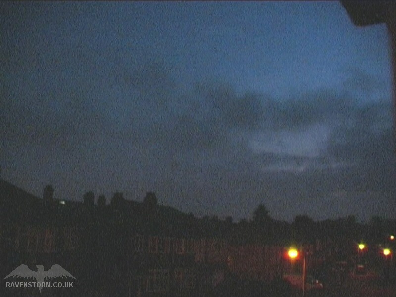
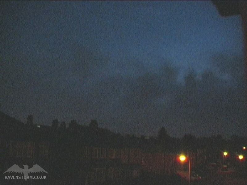
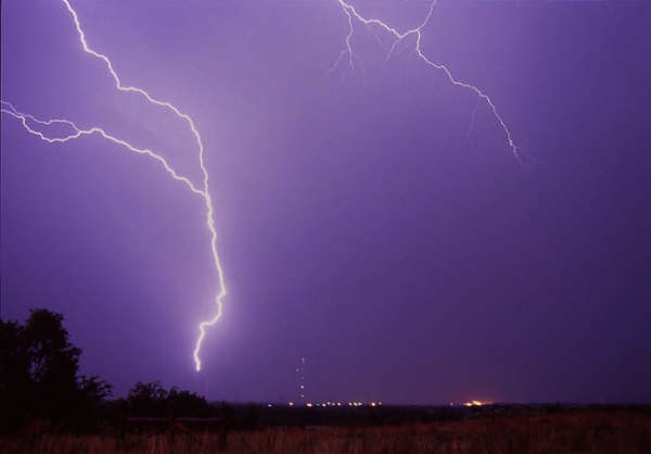
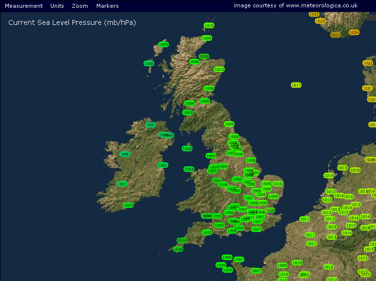
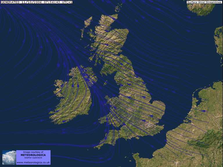
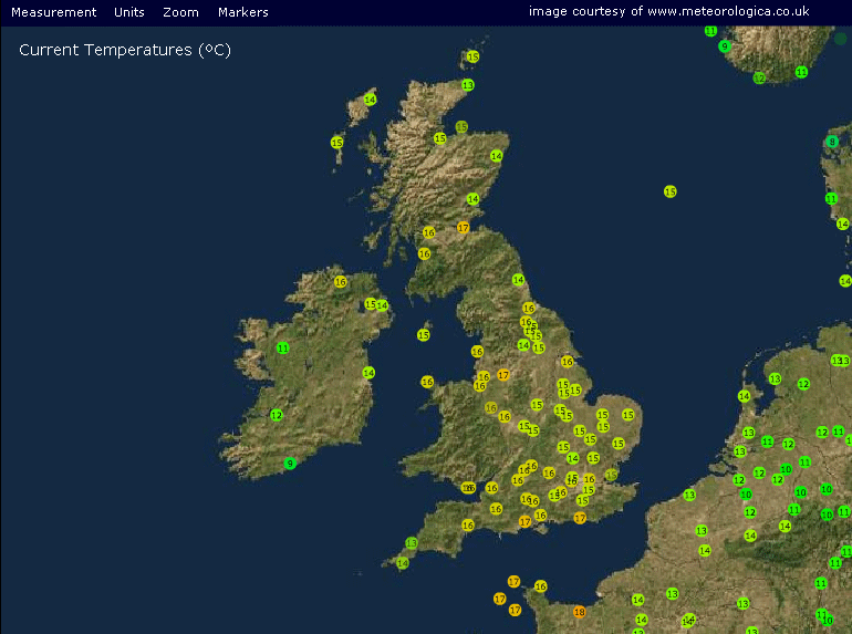
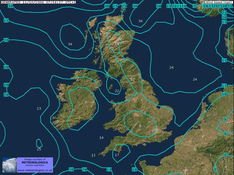
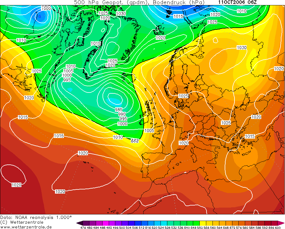
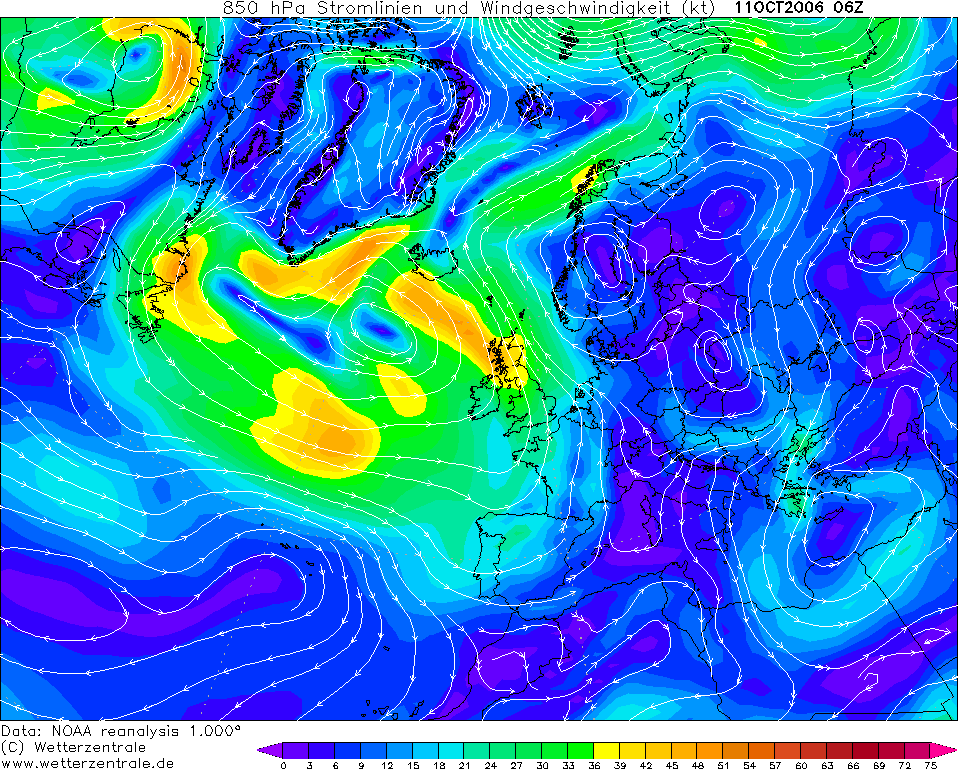
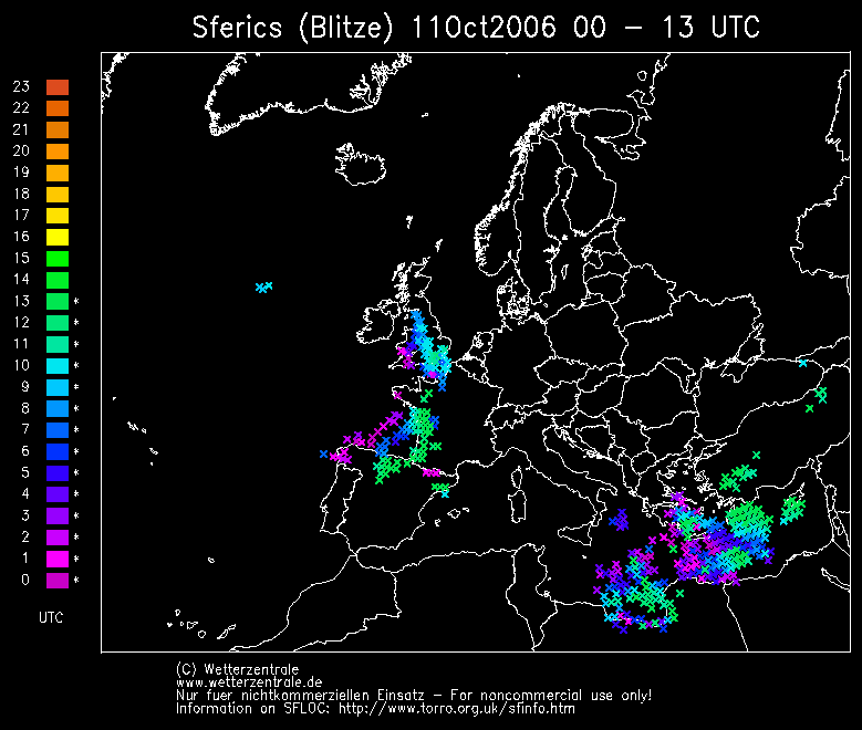
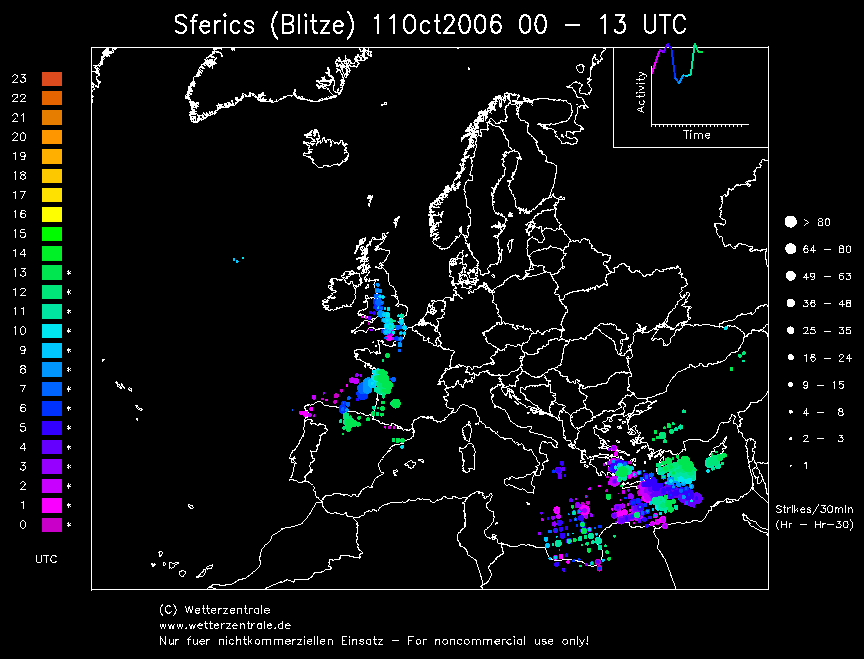
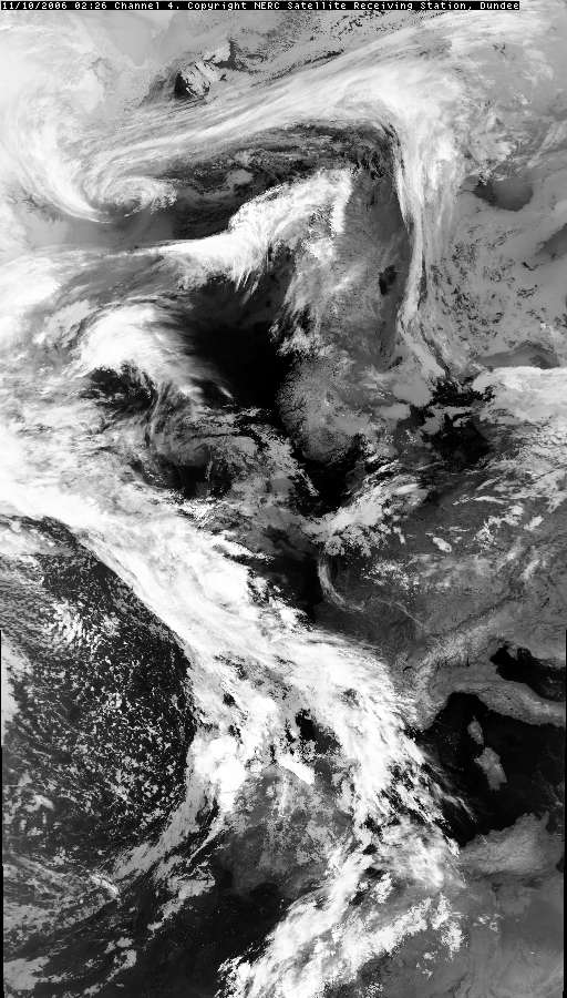
THUNDERSTORM T0066 A late warm spell in October was about to end with instability breaking out ahead of a western-approaching cold front (running up against a continental plume) producing some active cells along a line across northwest England. Much "heat" lightning (clouds and stratosphere above lighting up from the distance) was observed on the western horizon before the Sun came up.
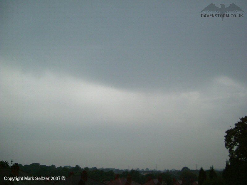
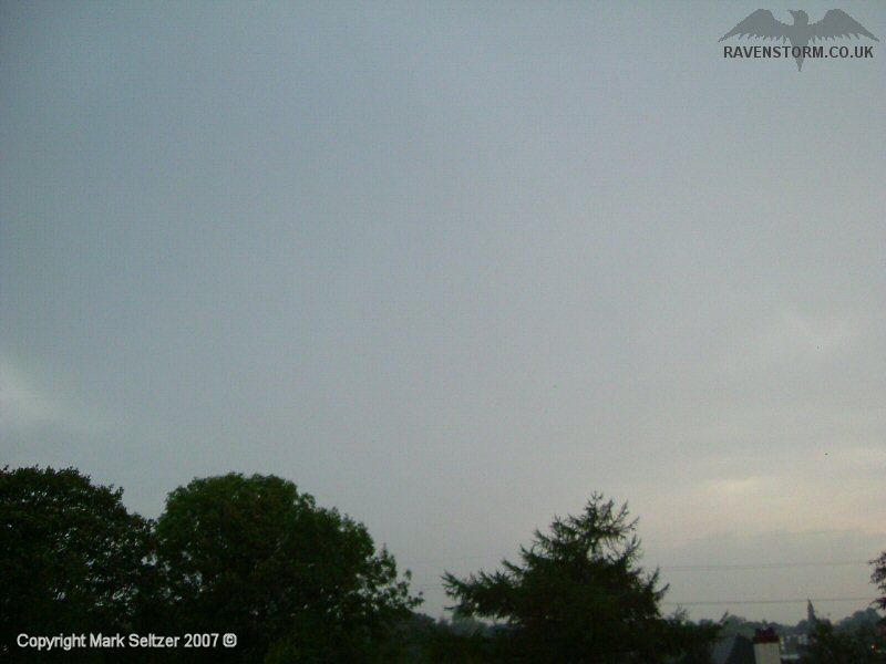
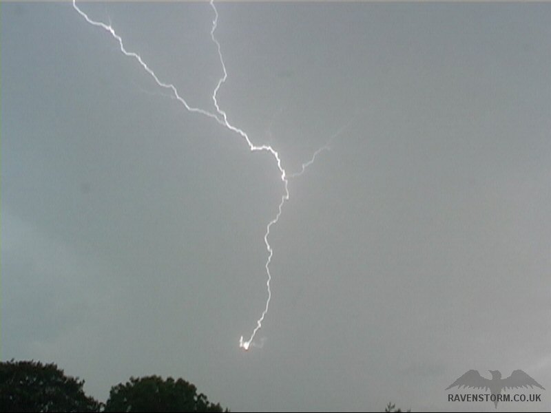
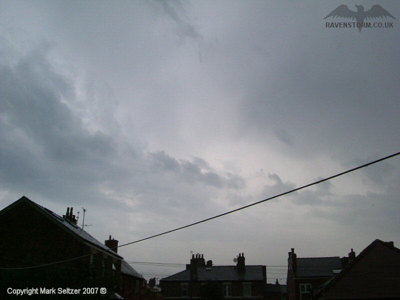
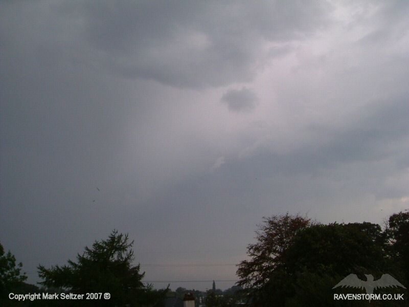
However, the main cluster of storms largely pulsated northwards to the west of Macclesfield out of sight, leaving a long line of hanging glaciated cloud with mixed altocumulus and altostratus with embedded Castellanus (all high-based) which was producing moderate rain. As the activity trundled eastwards overhead, I left the camera rolling on its own in case of the odd strike. It paid off as a lone high-level C-C occurred directly in shot of the camera at a random time, which looked good in digital video. I called this shot of activity “Cell 2” as it shared the same system. A further localised cell developed later to the west (Cell 3) giving a few distant rumbles of thunder before it all fell silent.
The main cluster of storm cells (originally showing heat-lightning to the western horizon) continued into the Merseyside and Manchester regions giving some spectacular lightning displays. Some photos were sent into the BBC including an impressive C-G shot by "Tony from Wigan". I also sent in my shot of the C-C and both of our photos were used in a special report about the storms as damage was caused by the lightning striking houses and telephone lines.
Tony's Photo
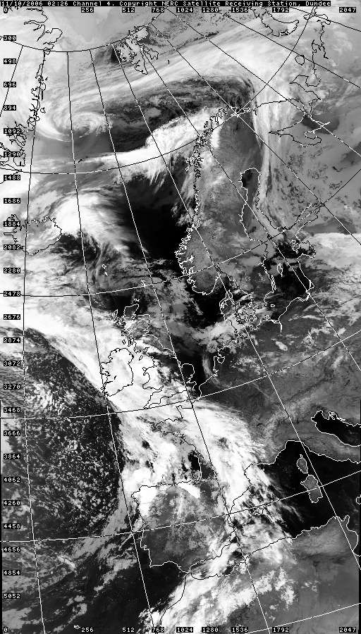
SATELLITE IMAGE (Credits)
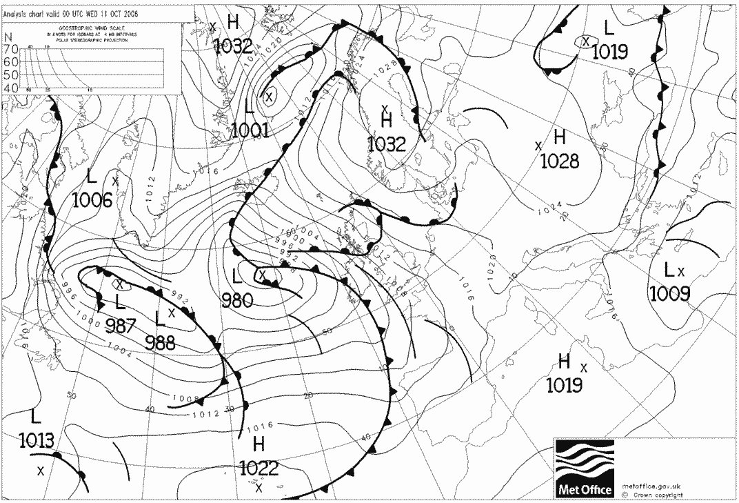
SFERICS (Credits) |

© Mark Seltzer
www.electricsky.co.uk