
![]()
|
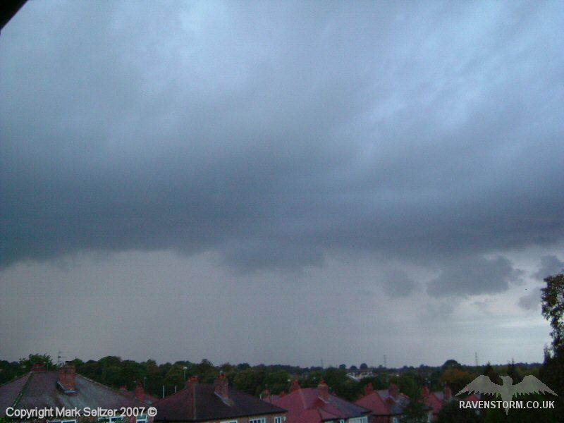
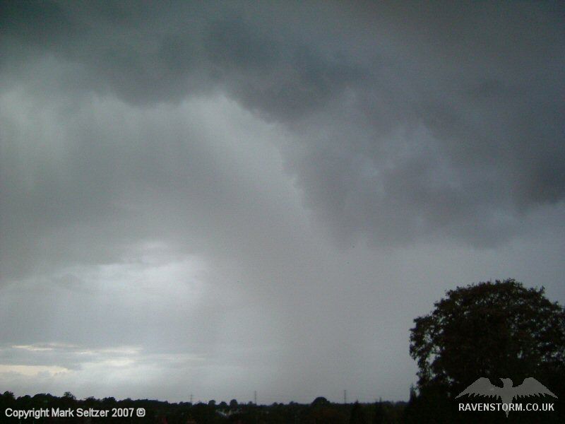
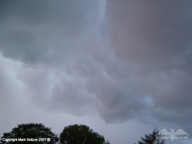
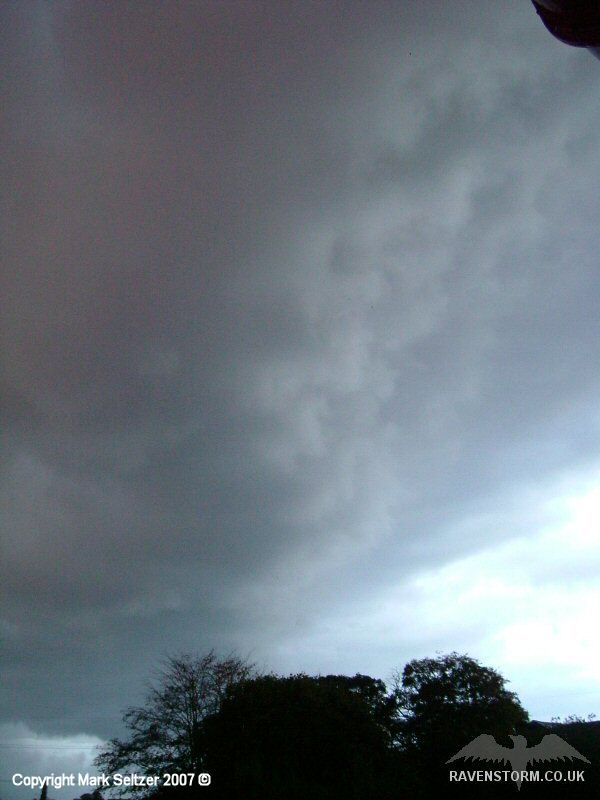
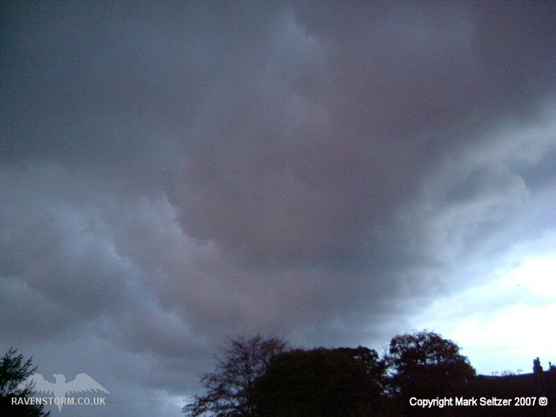
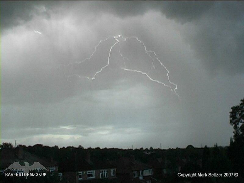
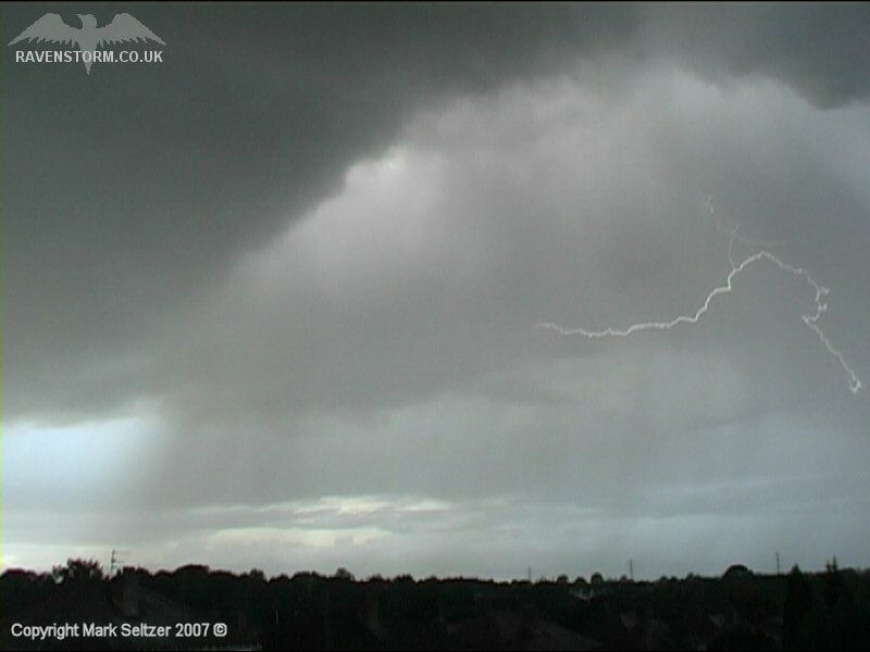
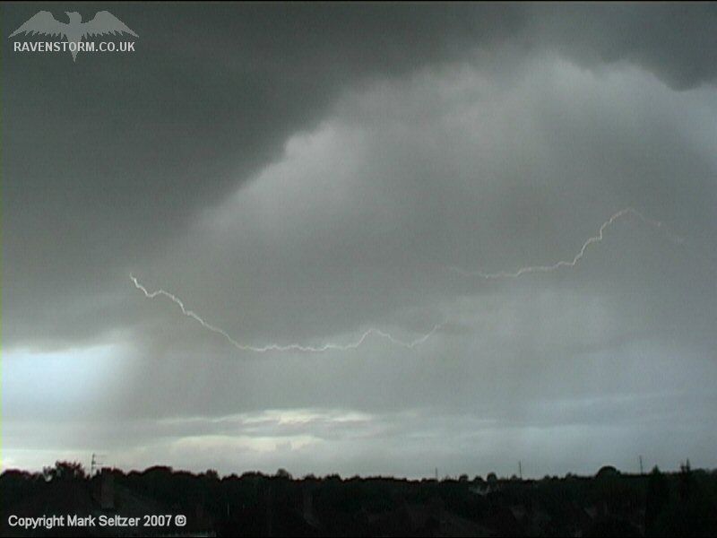
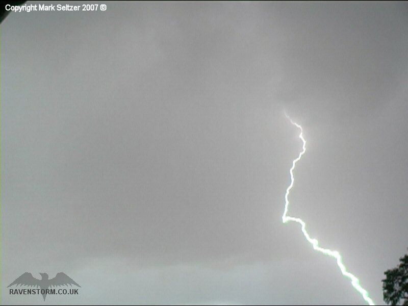
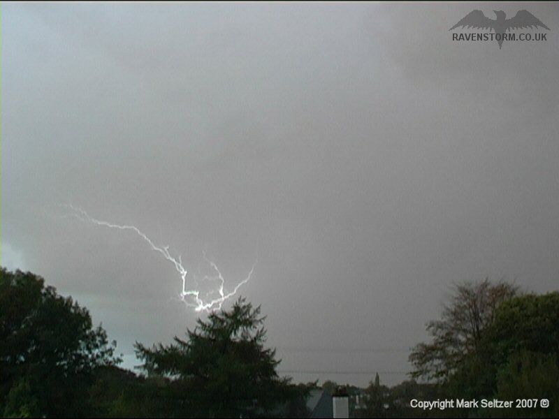
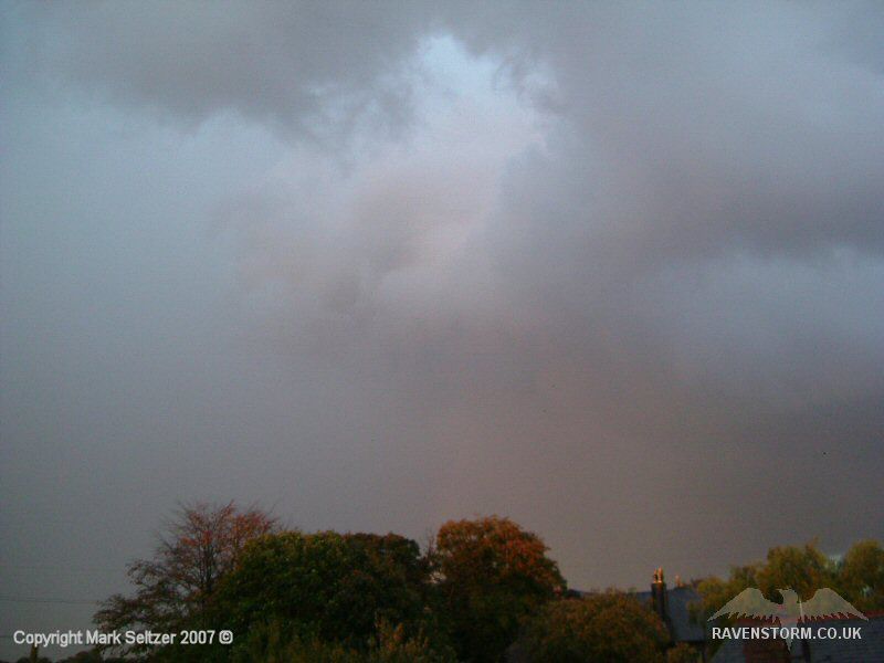
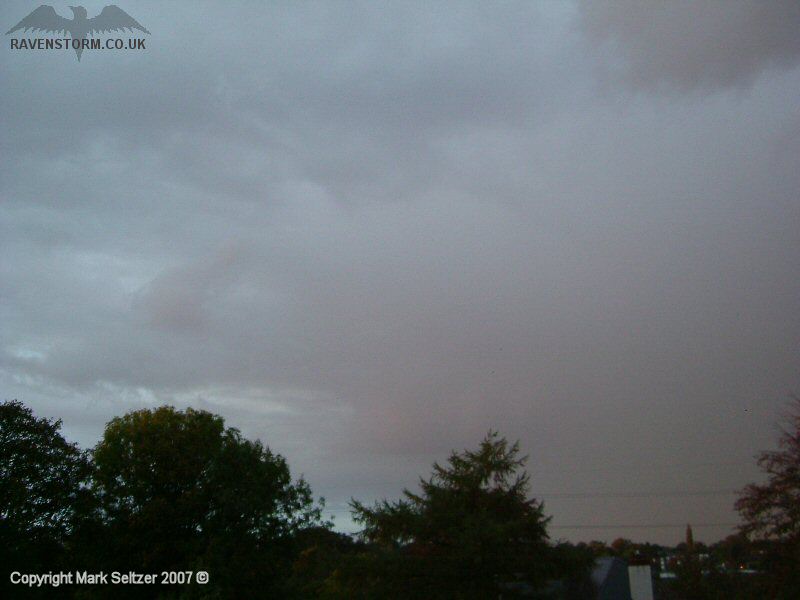
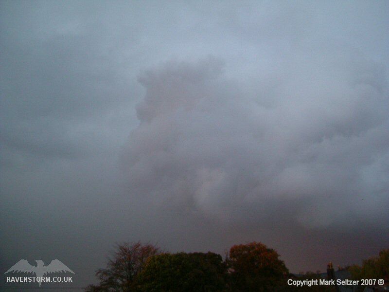
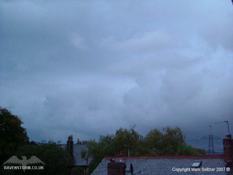
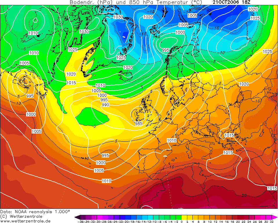
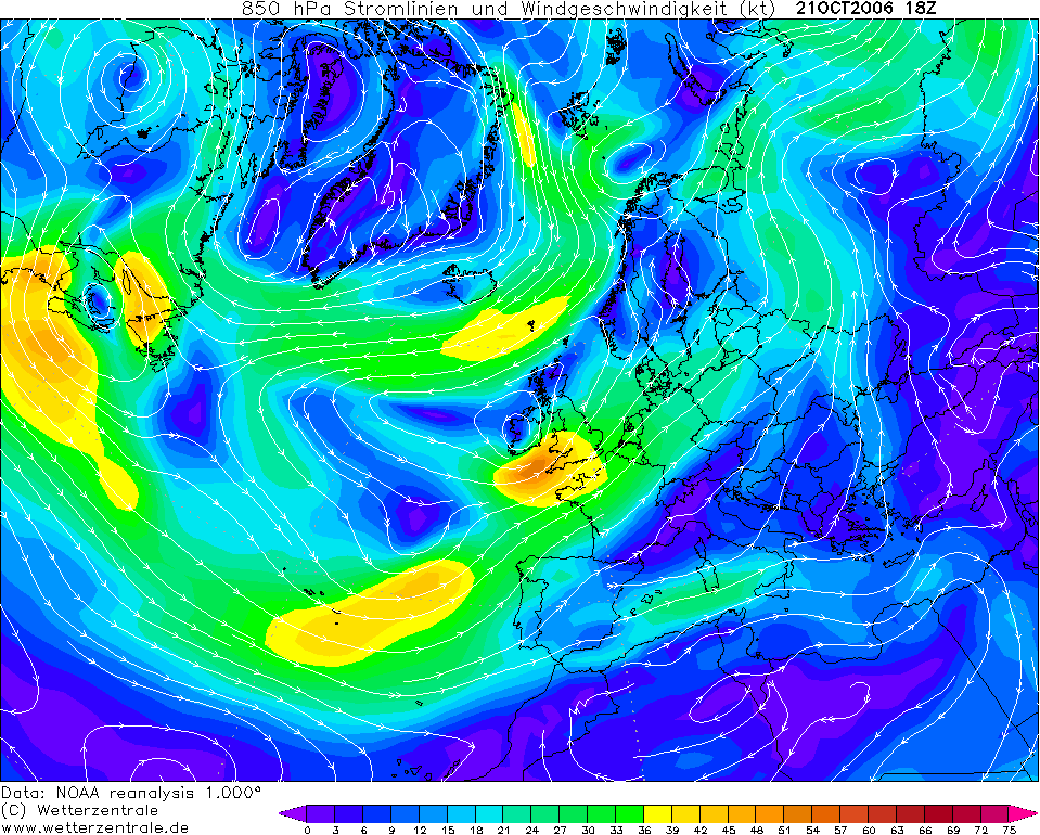
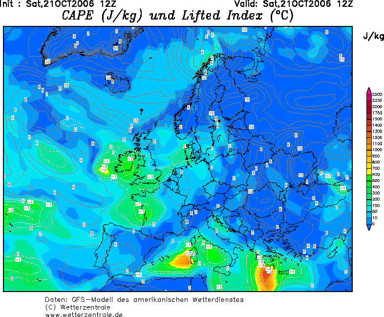
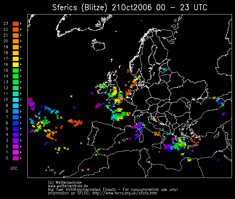
THUNDERSTORM T0067 I was having an afternoon siesta when this rolled up [clearly I was out the night before]. I wasn’t expecting any sort of thundery activity given the time of year, (inland areas are less prone to vigorous daytime convection), and was therefore oblivious to the weather scenario. I woke up and looked through the window to an ominous-looking rolling arcus cloud with heavy rain curtains behind it. My immediate response was to go online and look at some radar imagery and lightning maps to see if any of it was active, which indeed it was. The cell that was approaching Macclesfield by this time didn’t have any Sferic history yet, but as there were a few active cells to the south I pointed the camera at it anyway, given the way it looked on the horizon. I was right in doing so as when it made a closer approach, it went bang. Over the period of its presence the storm gave five visible lightning discharges amongst some hypnotic cloud formations. The discharges were on average every 2 minutes, so steady. A “Whales Mouth” formation was evident with the rolling arcus cloud in front of the main rain curtain.
Out of the five discharges it dropped a nearby C-G which appeared to be streaked sideways in the direction of the wind at the lower end of it, suggesting it was “ribbon” lightning. It then beaded out ("bead lightning").
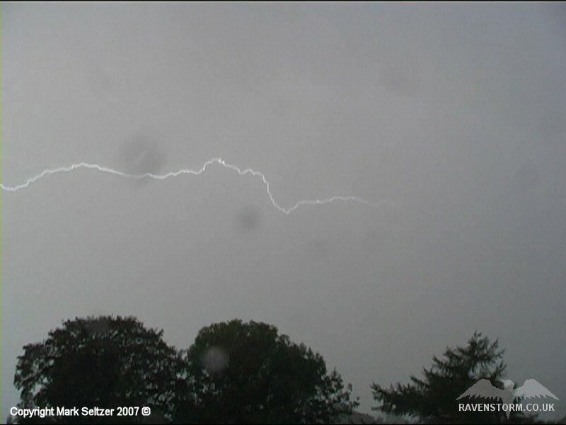
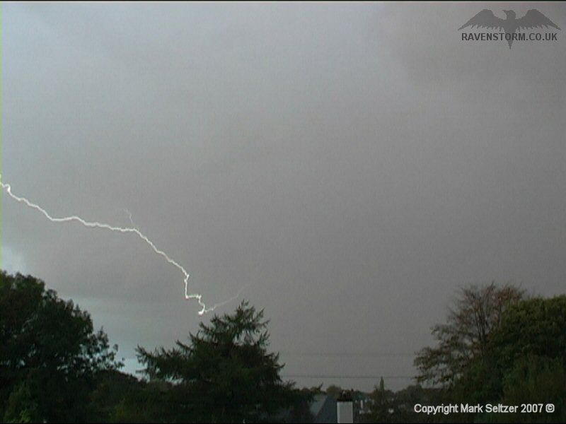
A couple more C-Cs occurred after this.
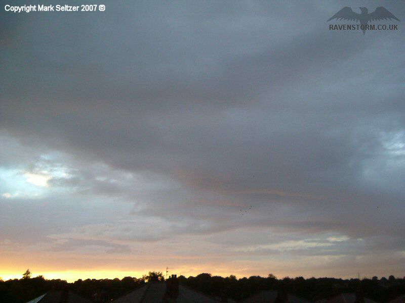
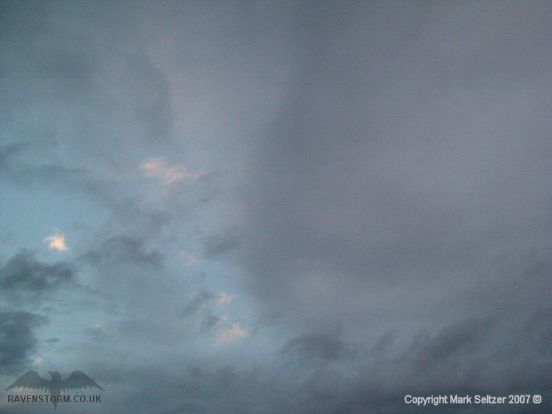
The storm then fell silent as the tough took the band of rain northwest, presumably because it lost its daytime heating input.
|
© Mark Seltzer
www.electricsky.co.uk