
![]()
|
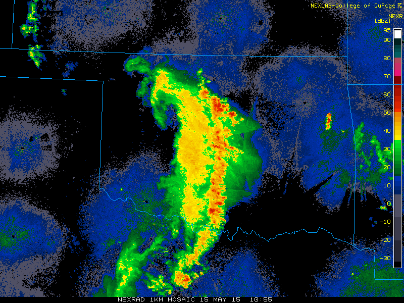
THUNDERSTORM T0099
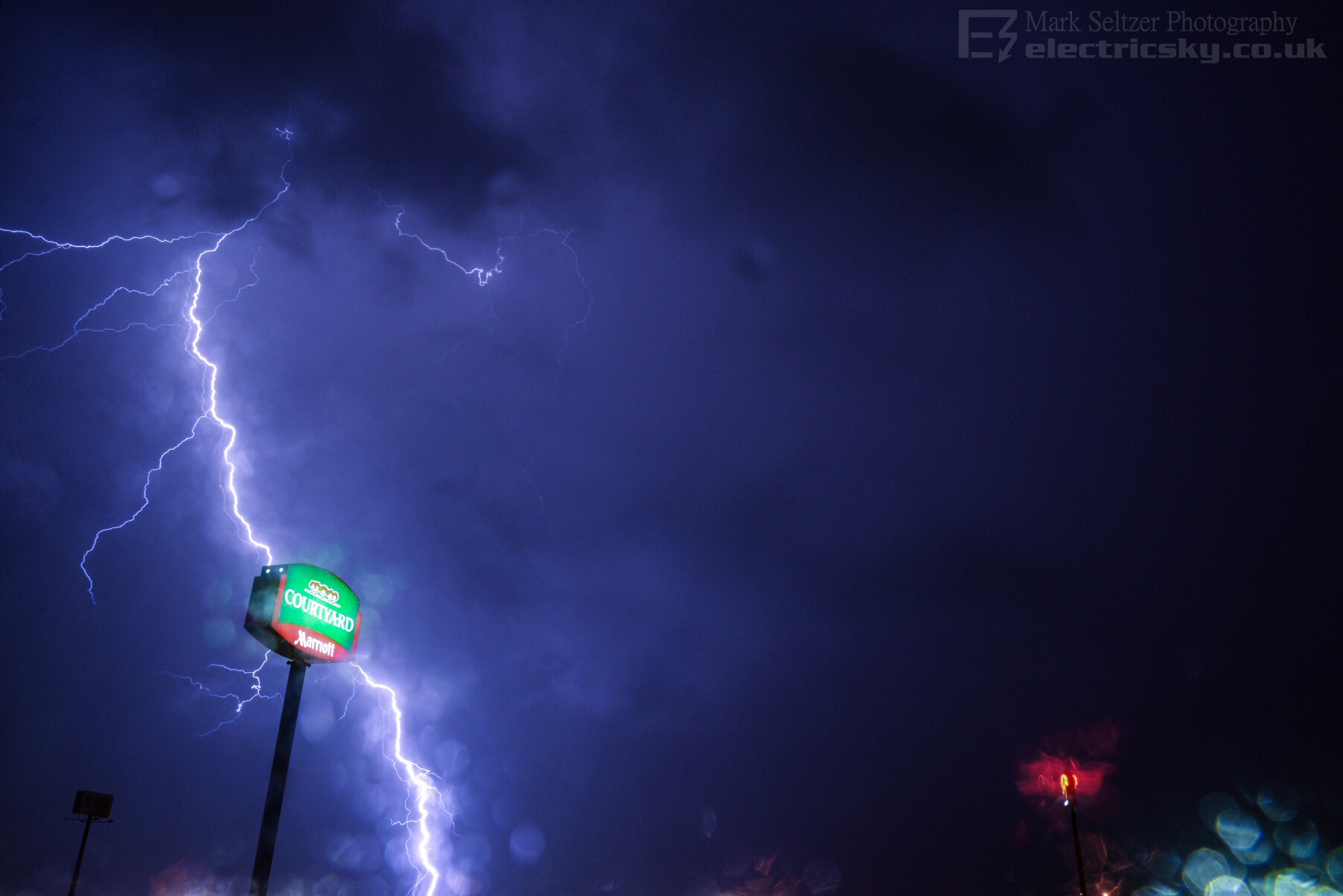
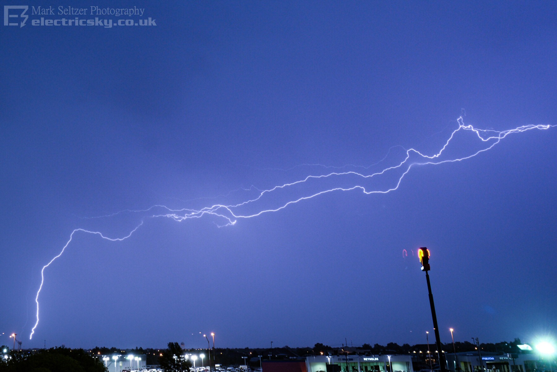
An early morning
squall line approached Norman Oklahoma in the early hours of the 15th May
2015 whilst I was working over there, so
I set my cameras up against the hotel window for some potential lightning
shots (albeit through a triple-glazed window - so a bit of ghosting on
images).
The clicking noise you hear in the video is the lightning trigger on my
accompanying DSLR.
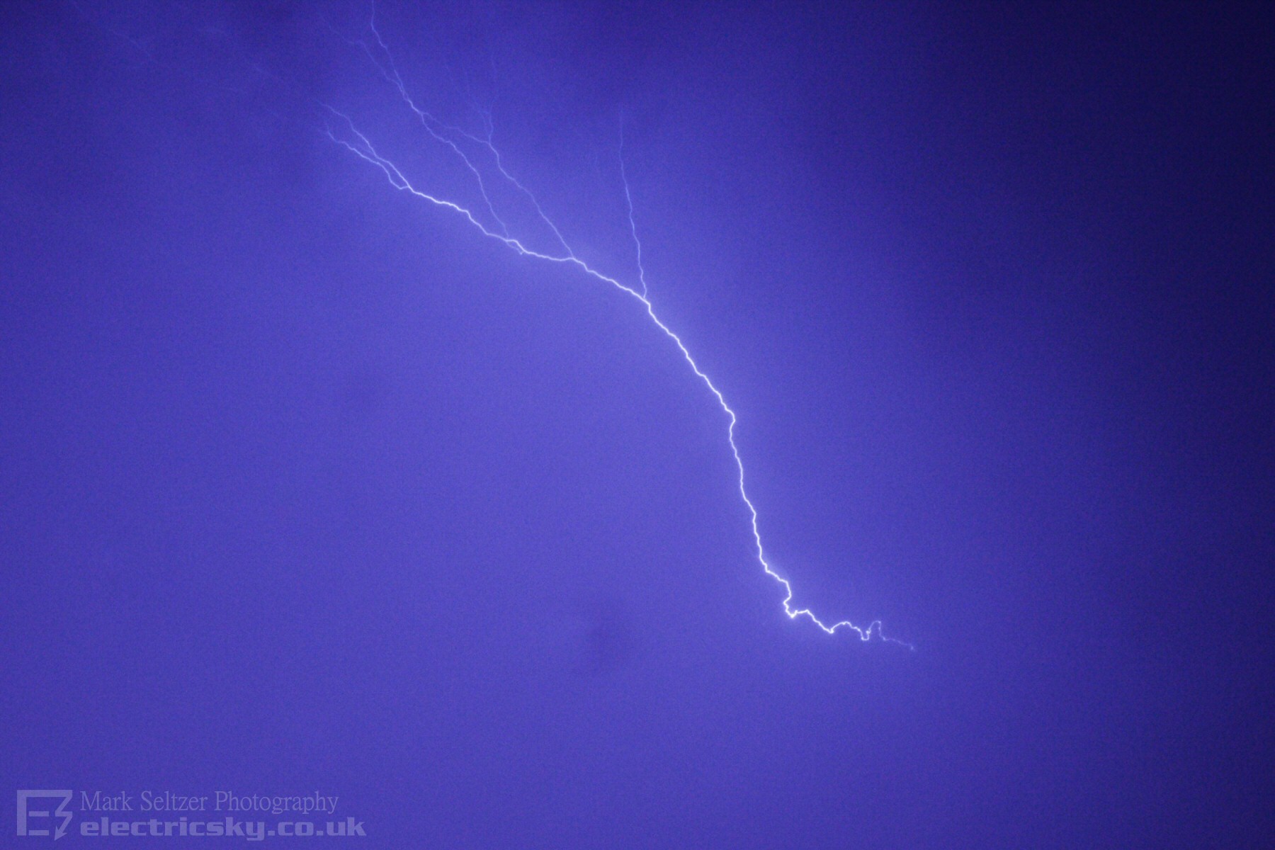
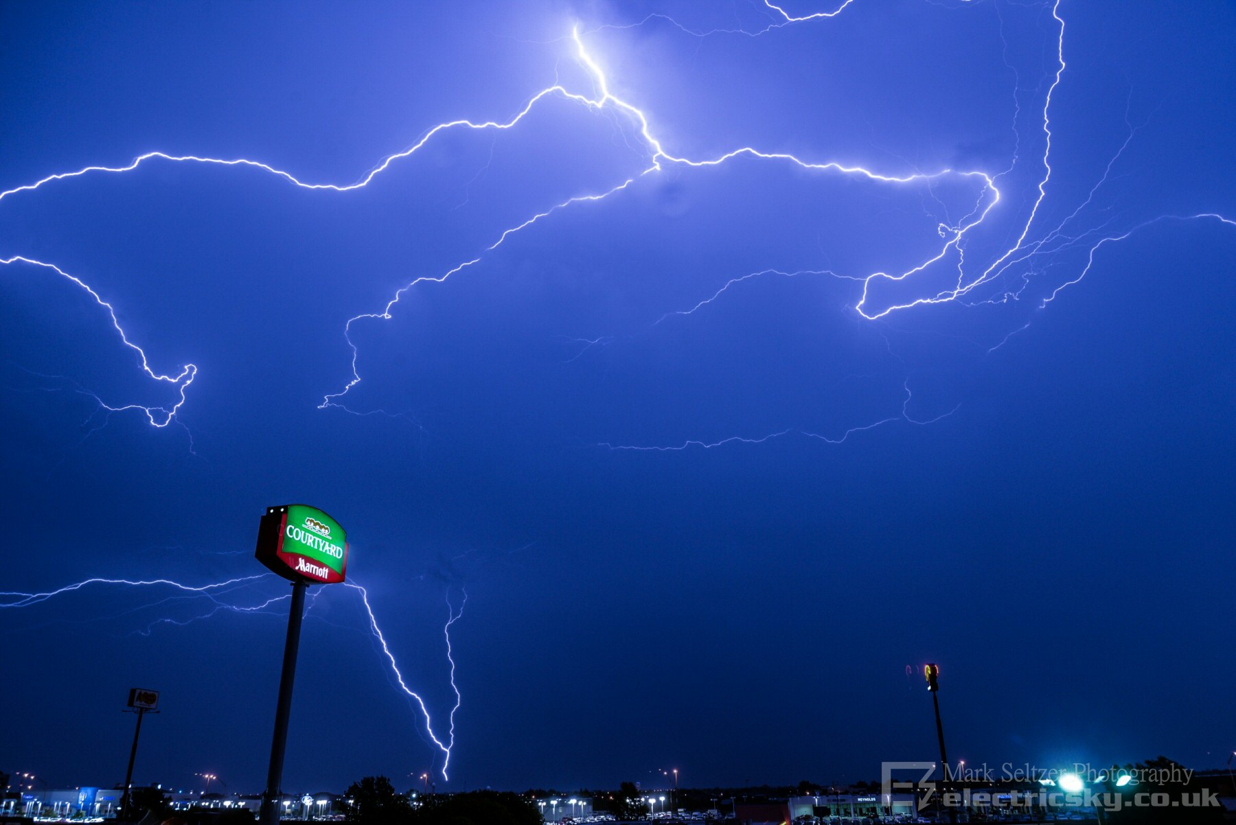
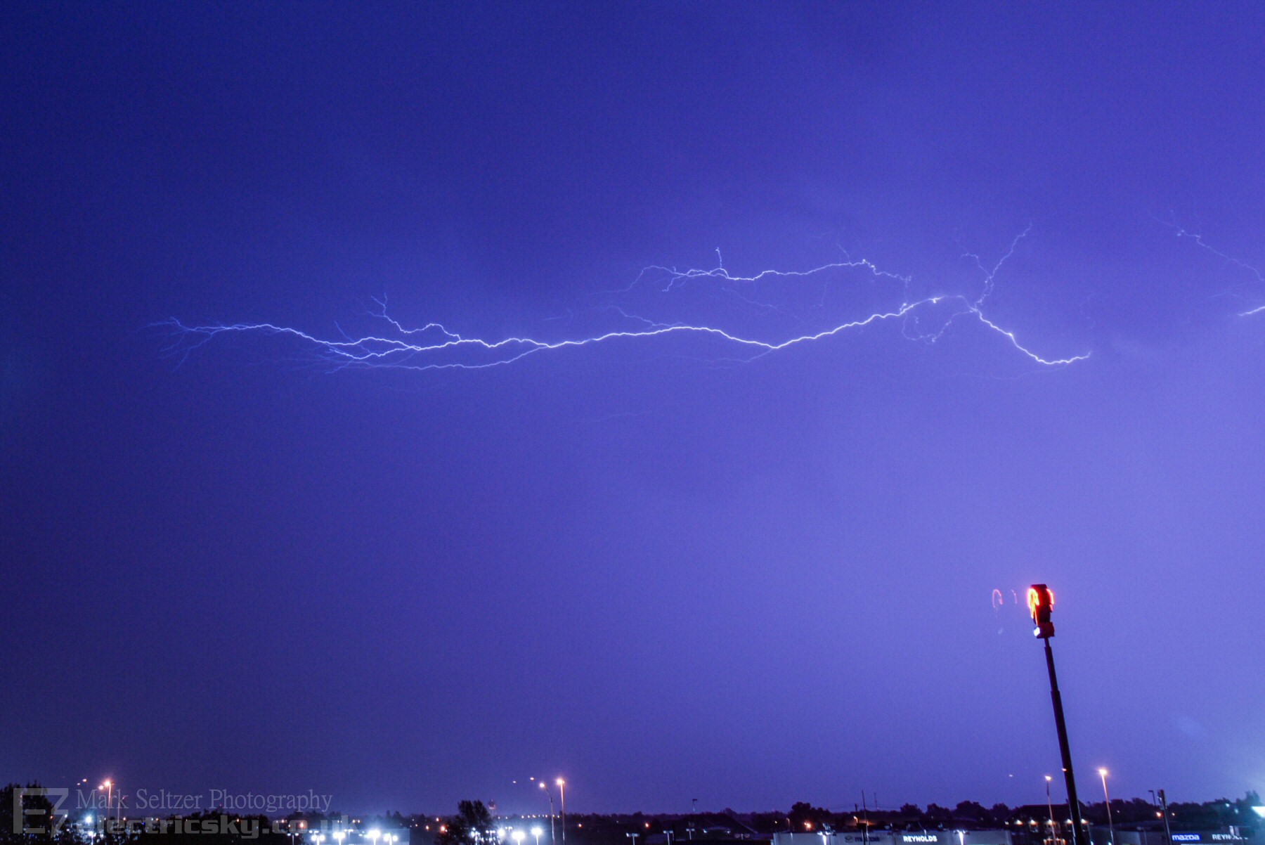
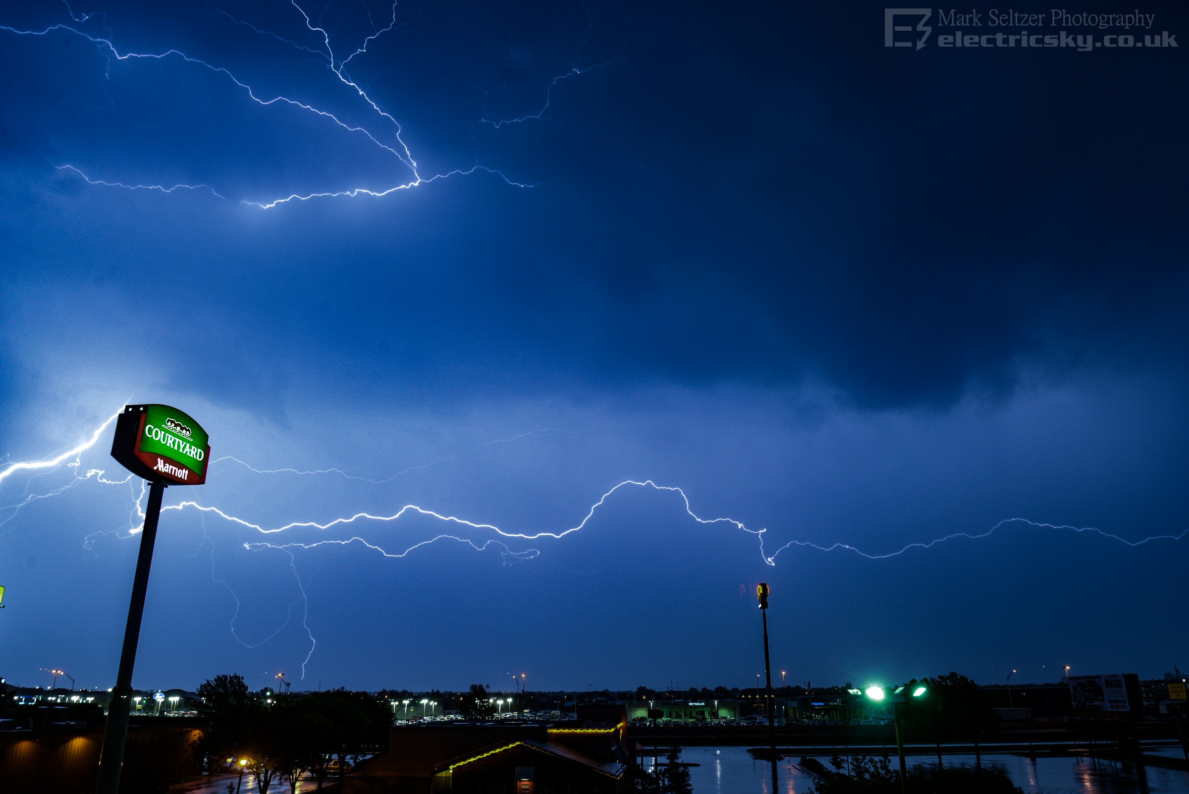
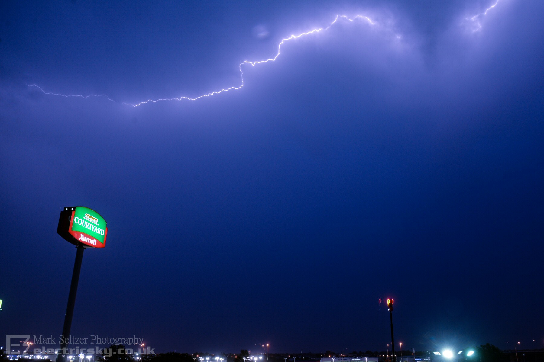
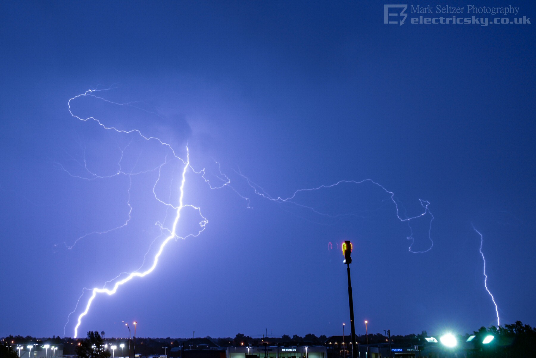
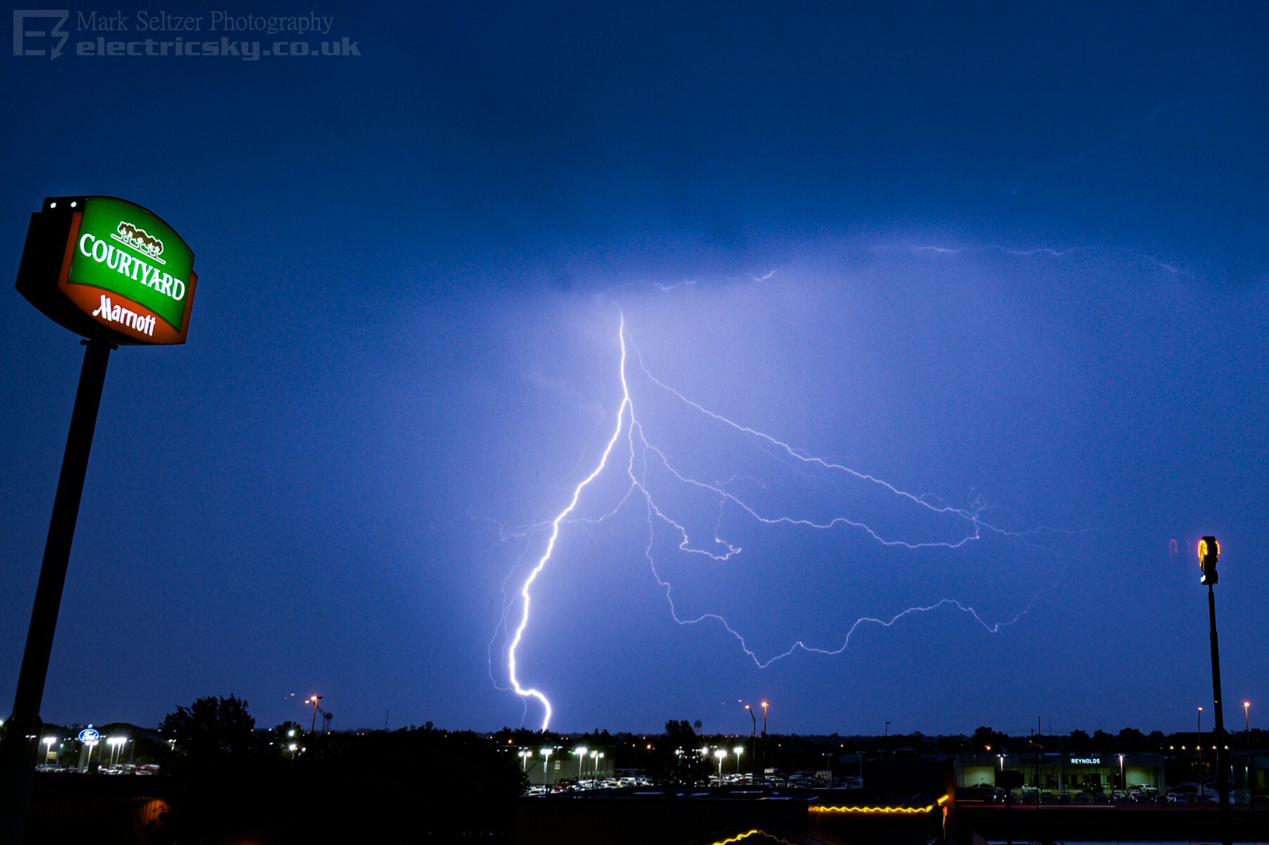
Then, a clearance to the cold air and a backward sloping anvil. The latter is a lightning photographer's playground, as the discharges are large and pretty (Anvil Crawlers and Ground to Clouds), whilst receiving a clear view of the show in the colder, drier airmass, often without much rain.
A distant radio mast got struck (or more accurately, IT struck the cloud) 5 times upon the storm's departure with Ground to Cloud lightning, often spraying into an Anvil Crawler.
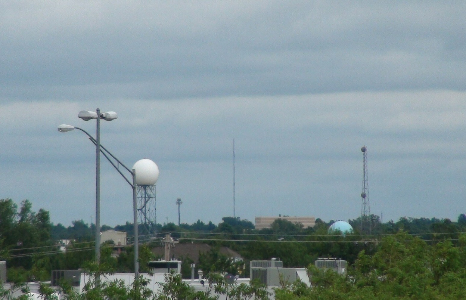
Here is the radio
mast that kept releasing lightning this night...
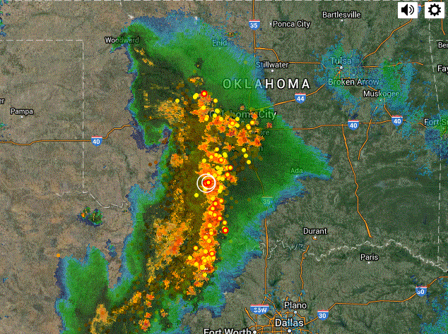
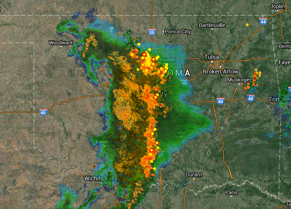
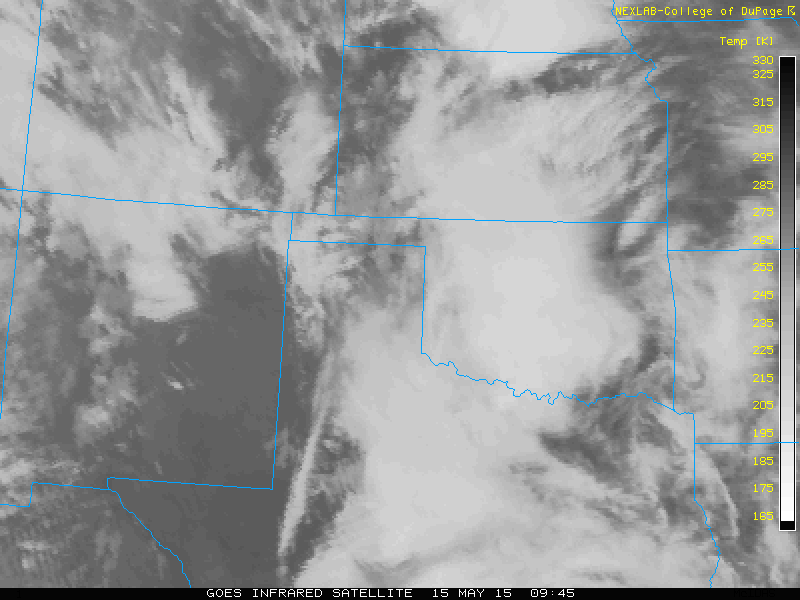
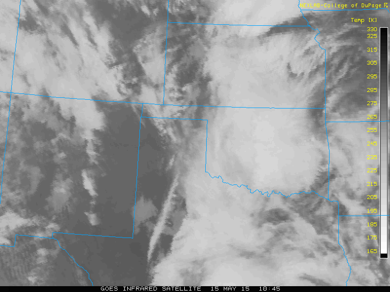
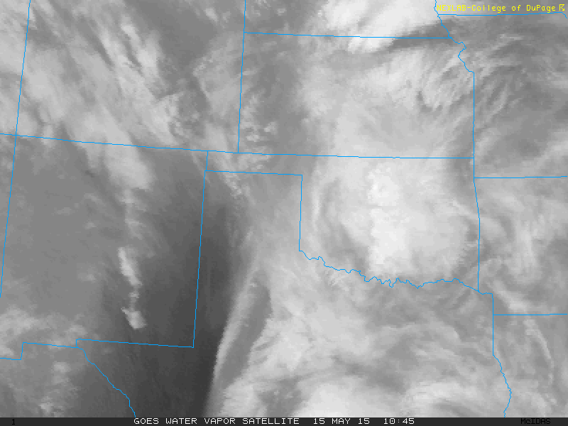
SATELLITE
(Credits)
|
© Mark Seltzer
www.electricsky.co.uk