
![]()
|
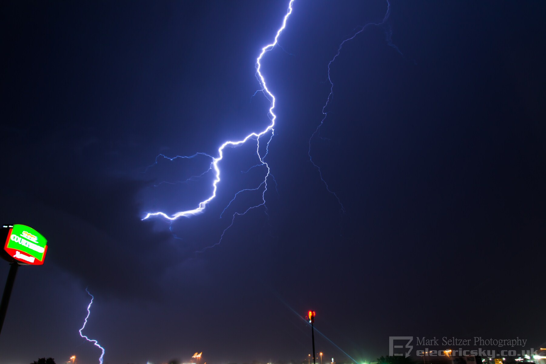
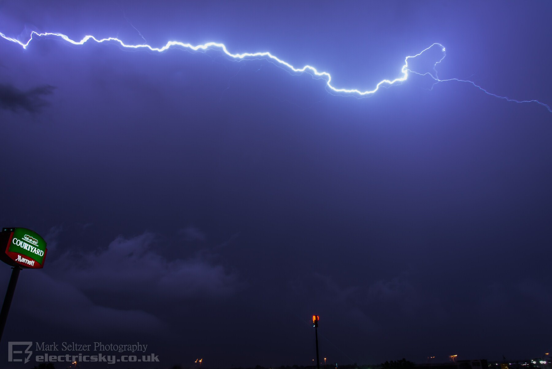
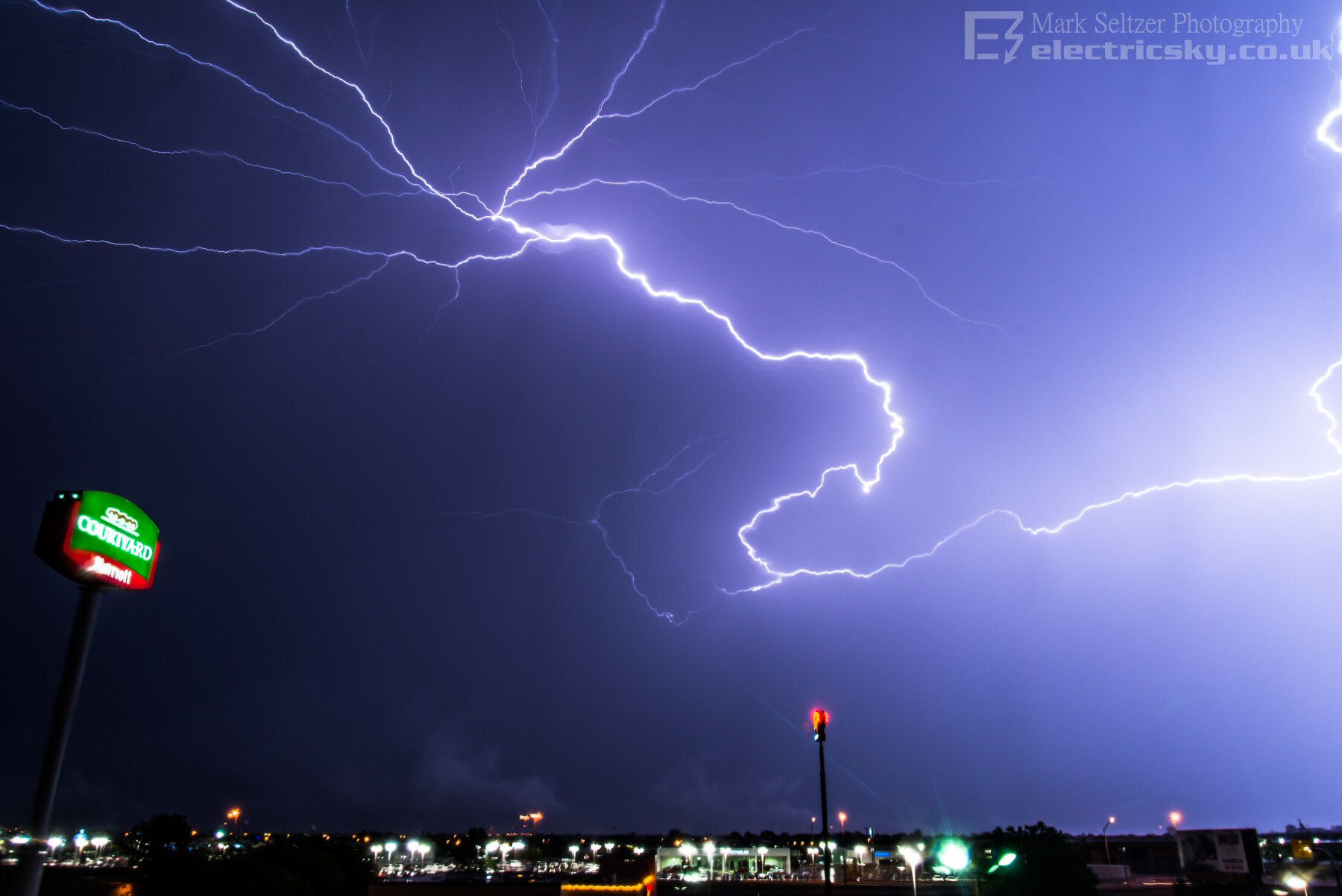
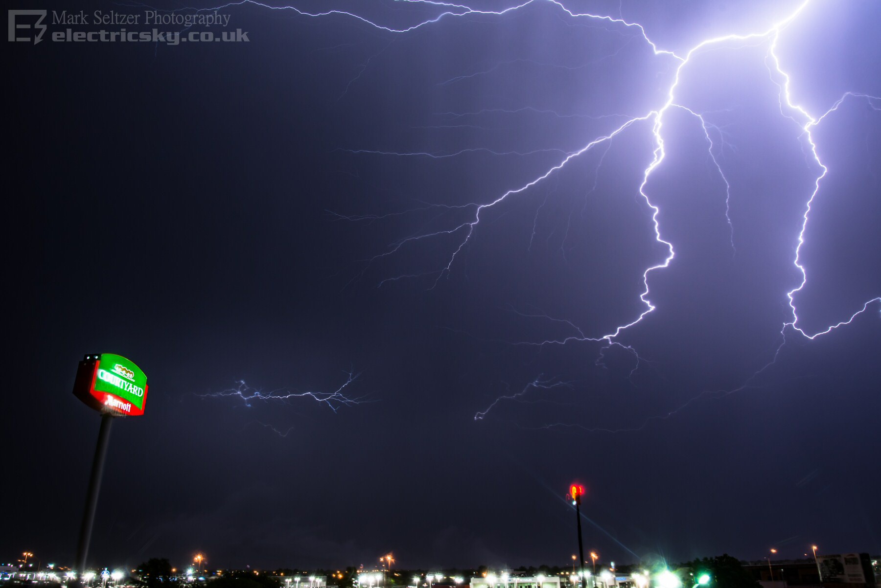
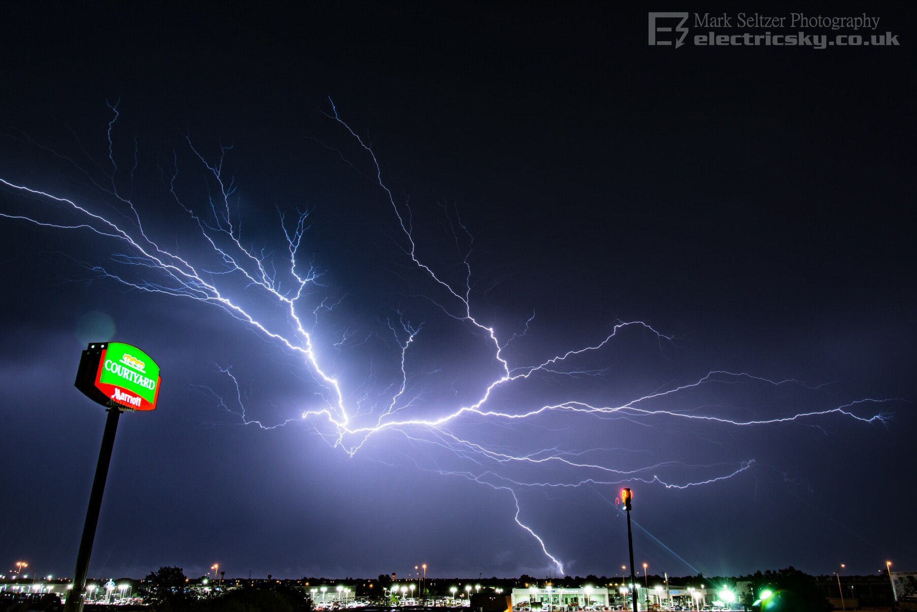
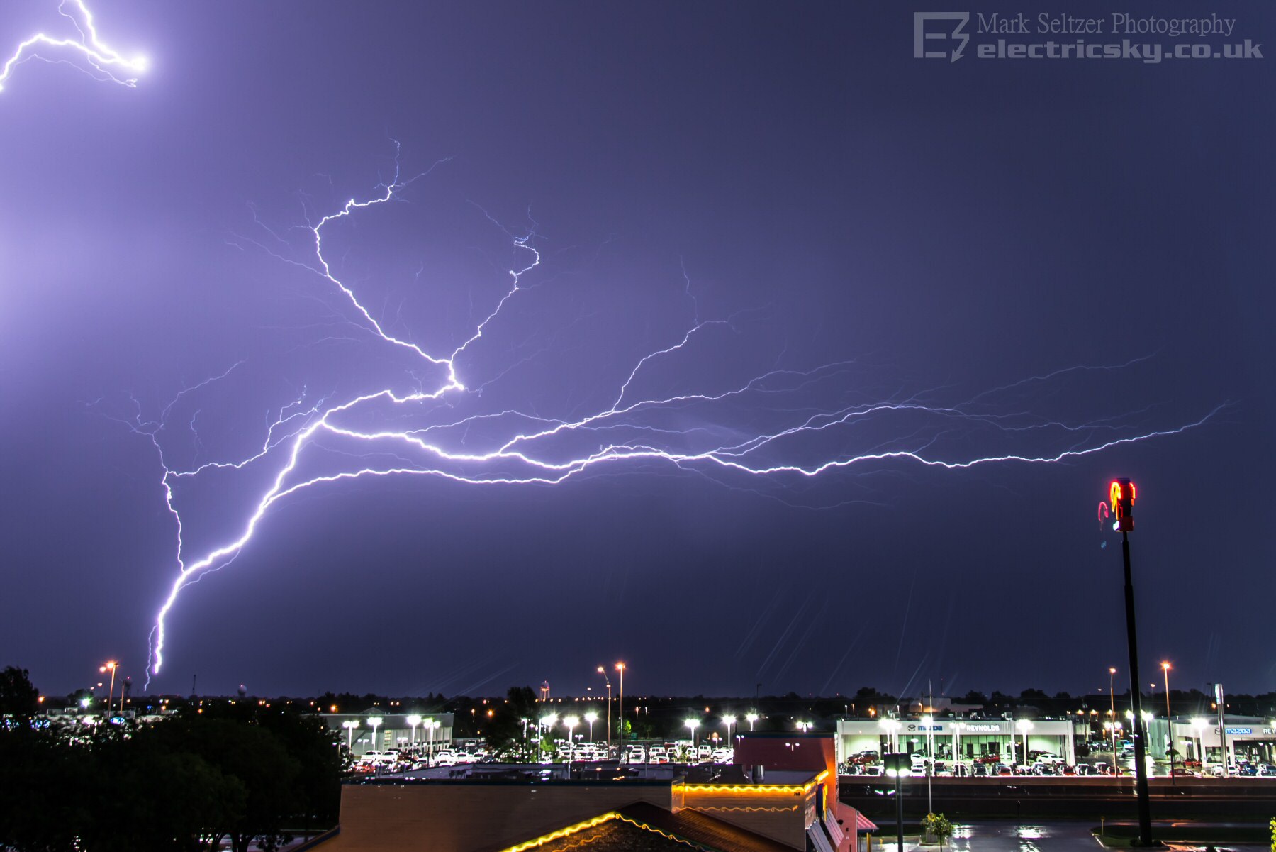
THUNDERSTORM T0102 A "weakening" linear multicell storm (weakening as in becoming less tower and more anvil) followed behind a plume of more intense thunderstorms and embedded supercells during the day (see T0101 with close CG strike). This passed through Norman, Oklahoma, just after midnight to finish the day off. Rearward-sloping and elevated linear characteristics provided perfect conditions and viewing for large cloud-to-cloud lightning discharges. Here we have some regular negative C-Gs at the beginning (along surface cold front where the cumulonimbus towers were) followed by a rearward sloping Anvil across the entire horizon, with some of the best Anvil-Crawlers I've seen to date, including some Positive flashes and Ground-to-Cloud crawlers. Had a fantastic view from the hotel window, albeit shooting through triple-glazed rain-drenched windows (again, like with T0099). The clicking noise you hear in the video is the DSLR shooting autonomously with the Lightning Bug (Tm) trigger. Despite shooting through a window, the resulting DSLR shots were much better than expected with the exception of a bit of mirrored ghosting of a few strikes.
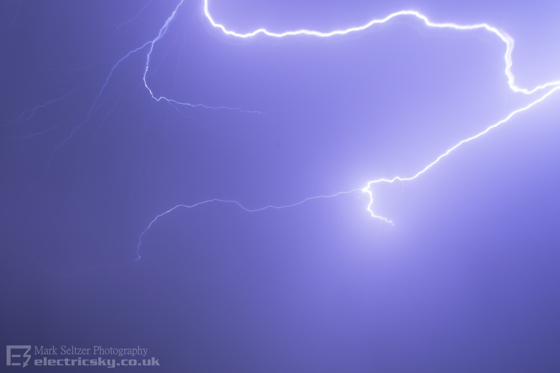
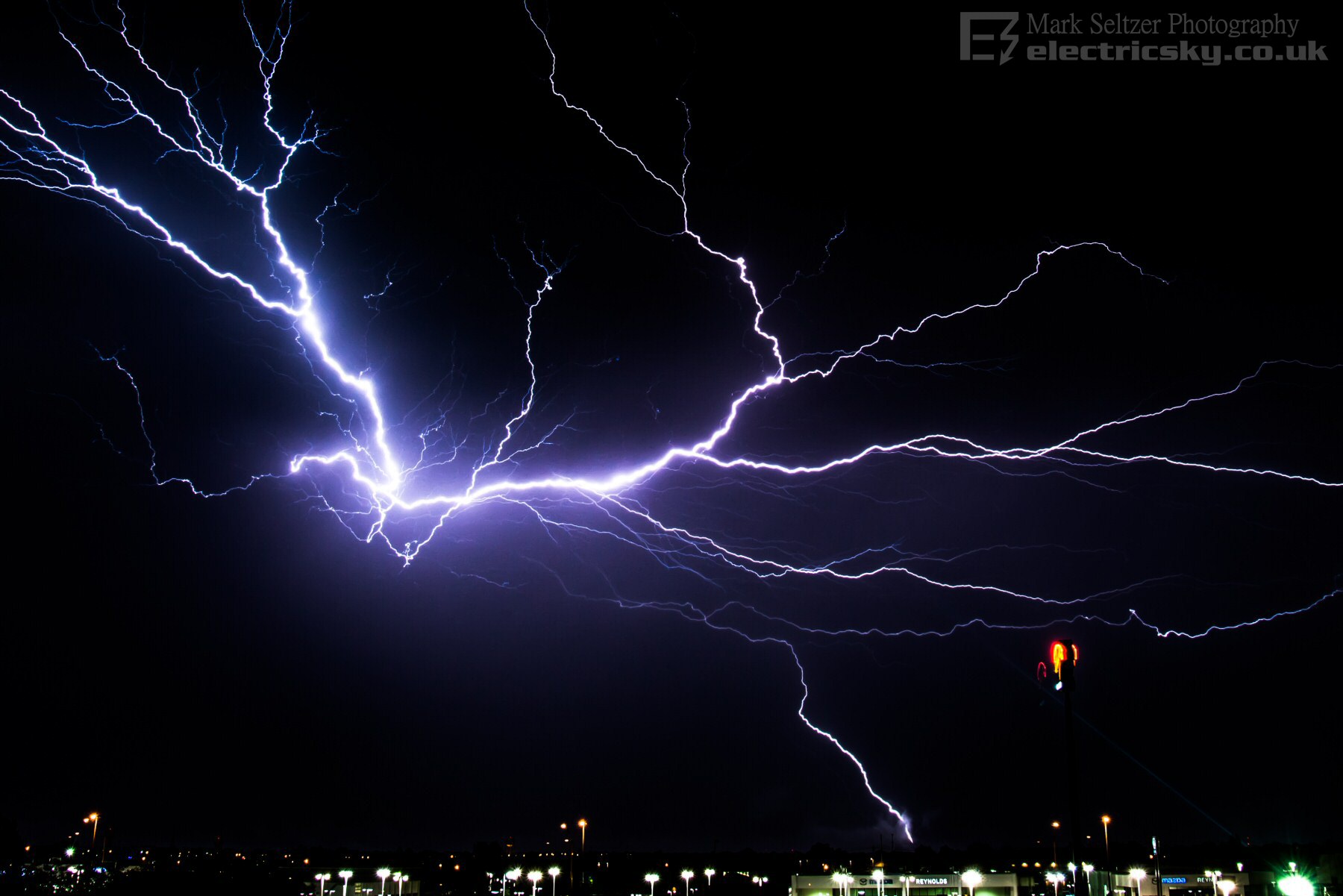
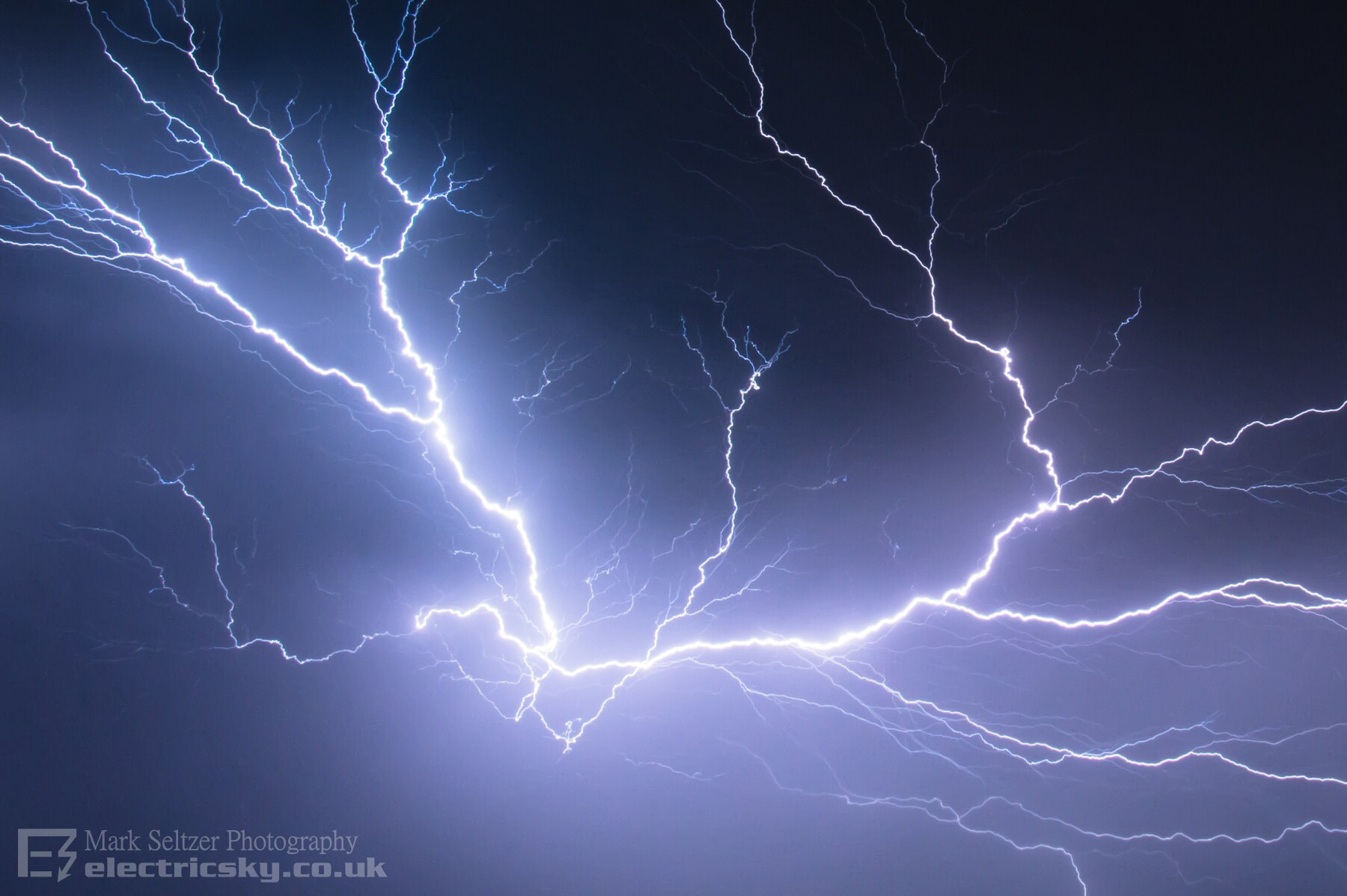
The next shot is by far my best Anvil Crawler capture to date. One take, no stacking (in any of these). Just look at how many branches there are!
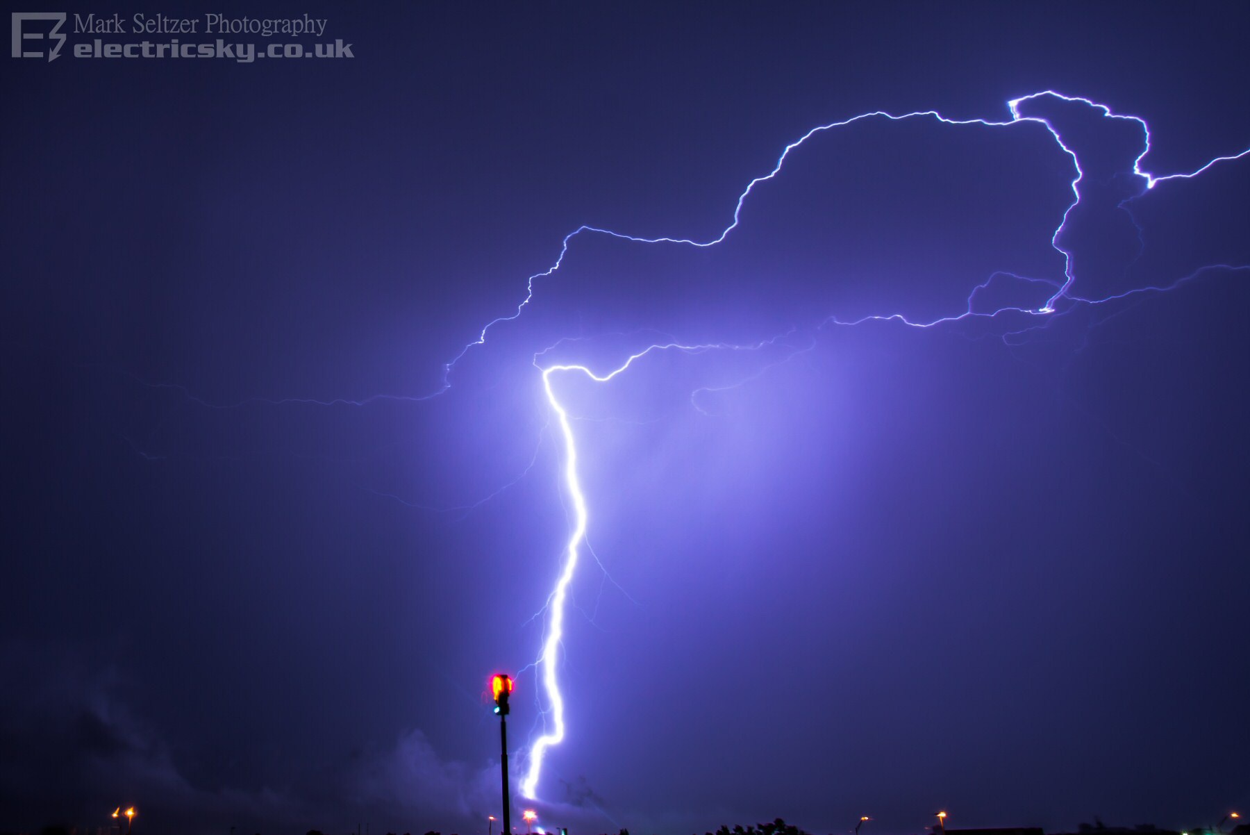
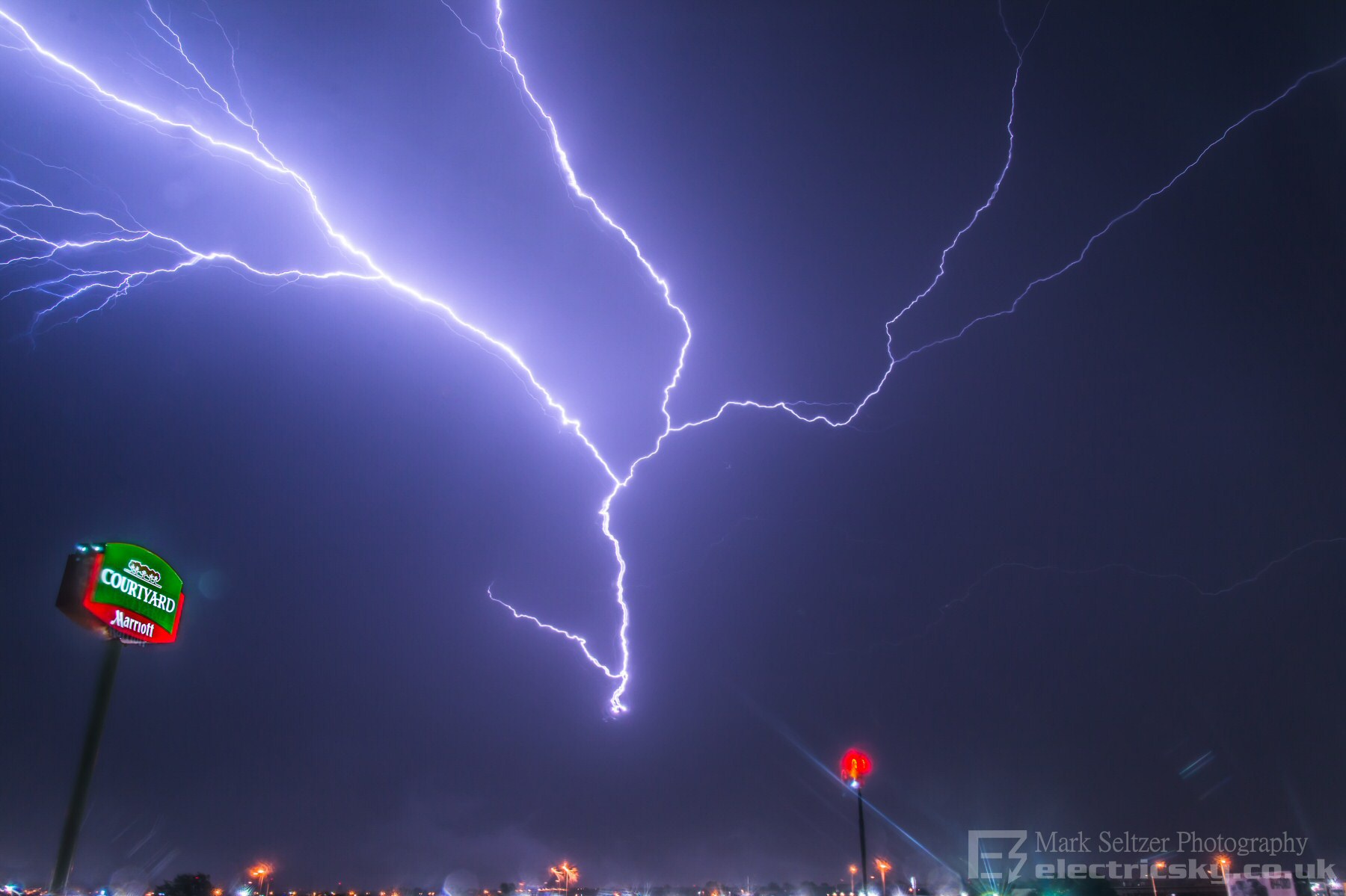
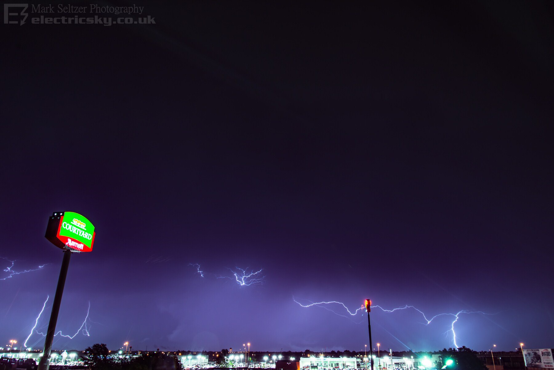
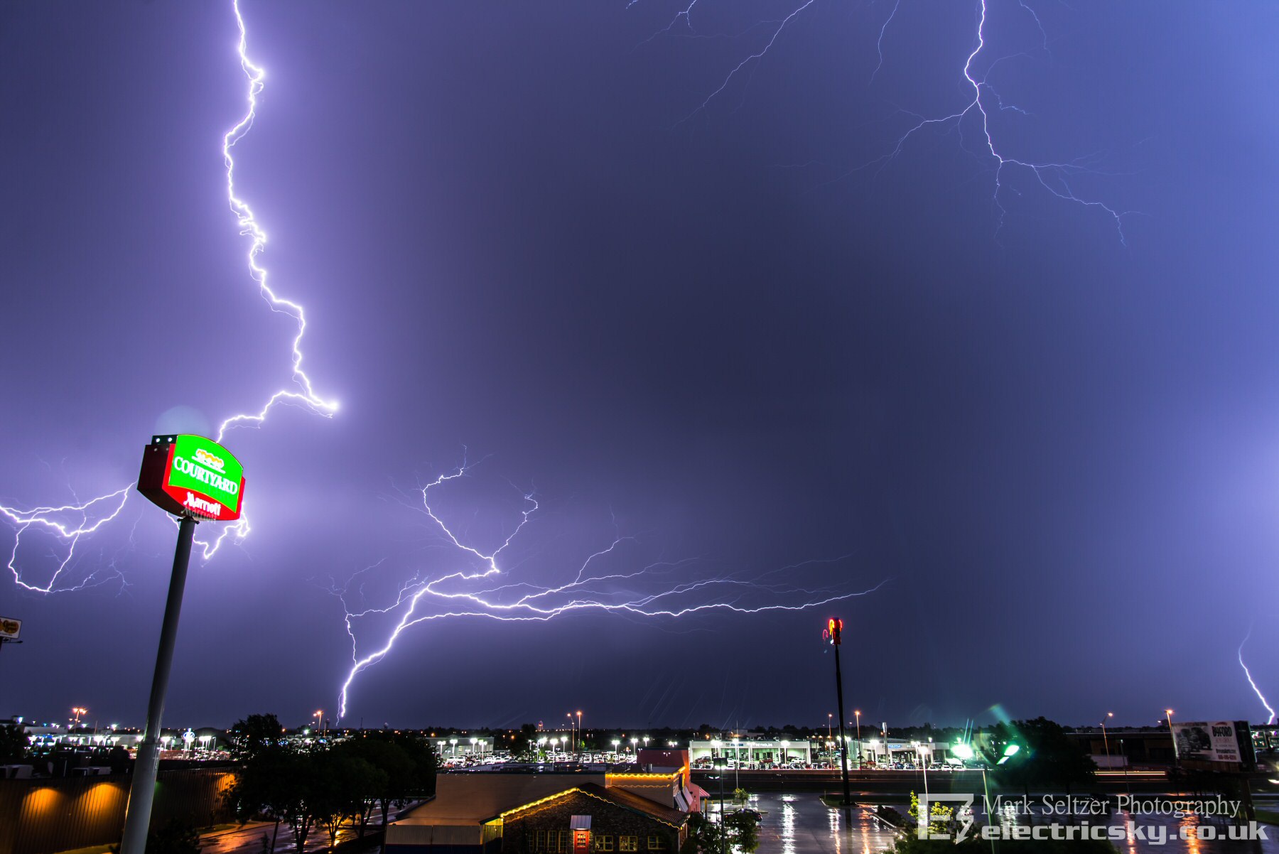
Then a few CGs and GCs to finish the show off
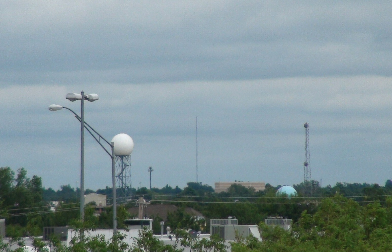
Here is the radio
mast (again, as with
T0099) that released the last bolt of lightning
shown above...
|
© Mark Seltzer
www.electricsky.co.uk