
![]()
|
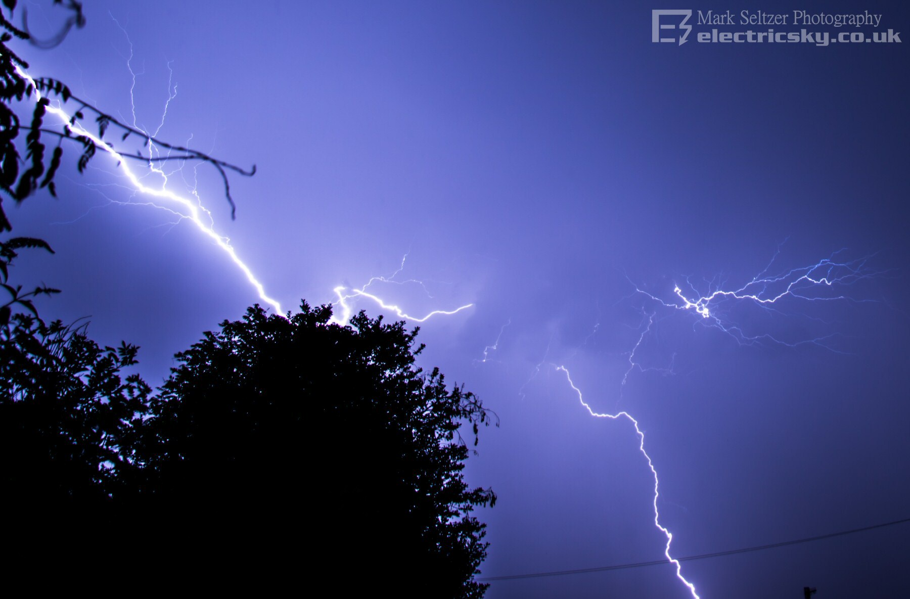
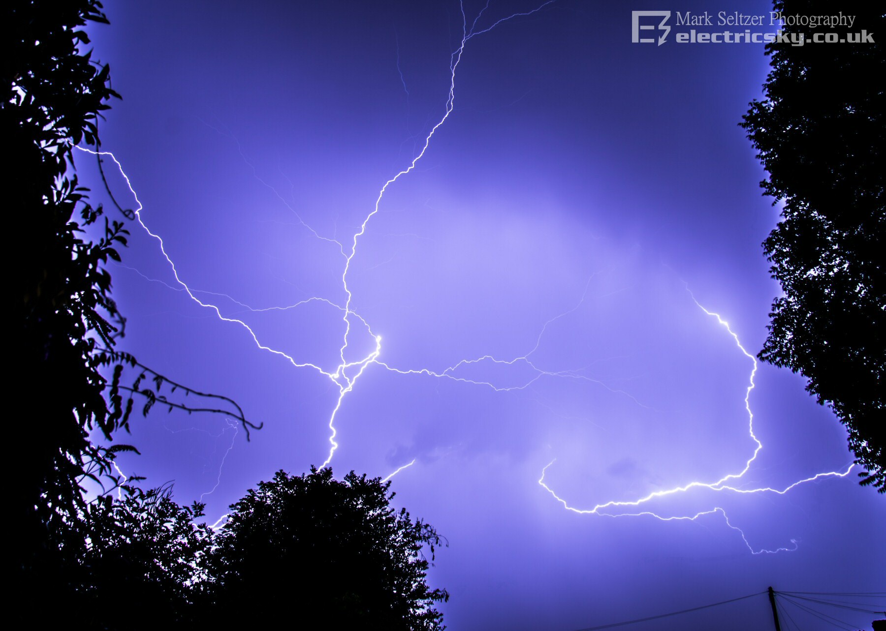
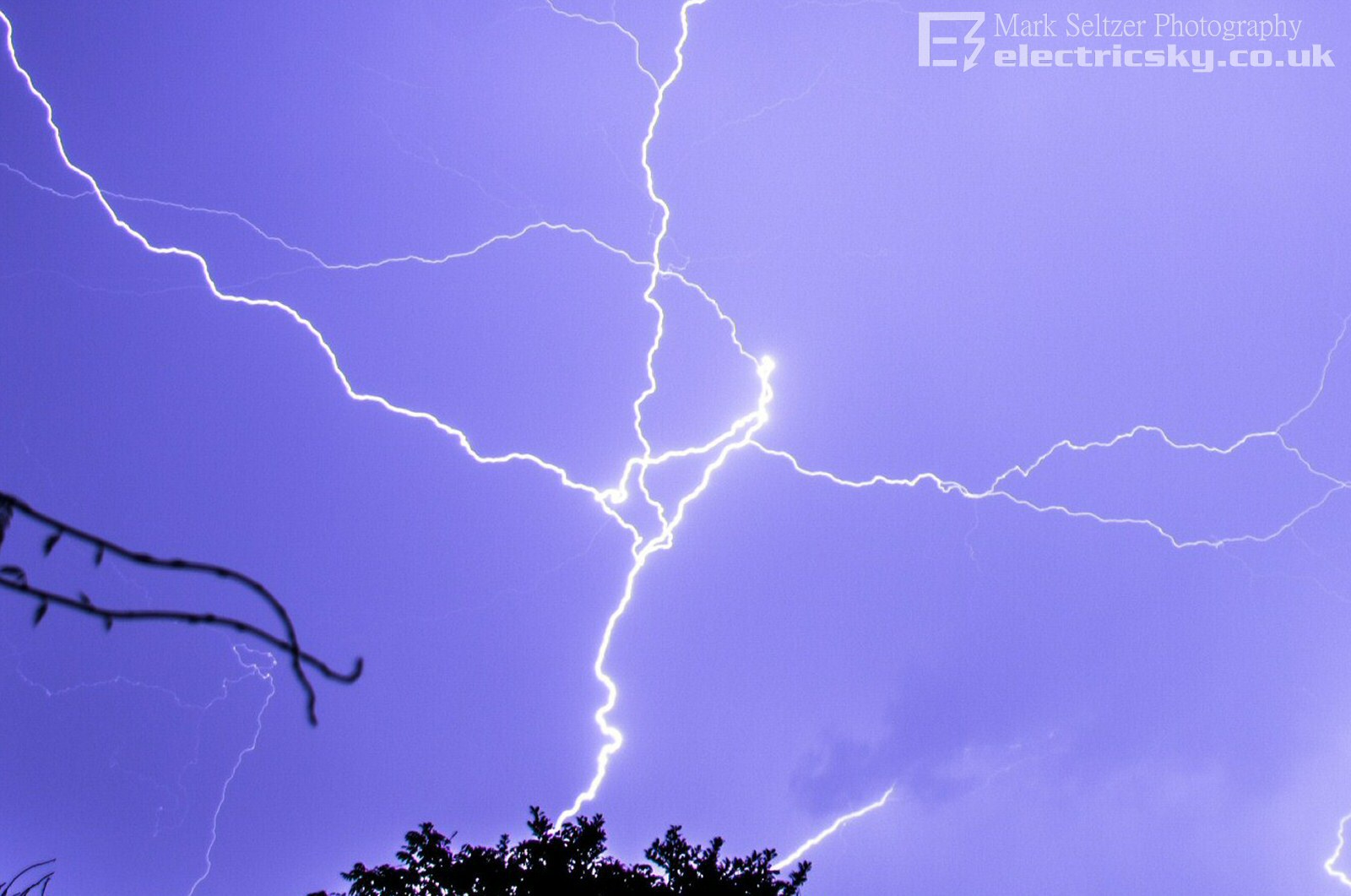
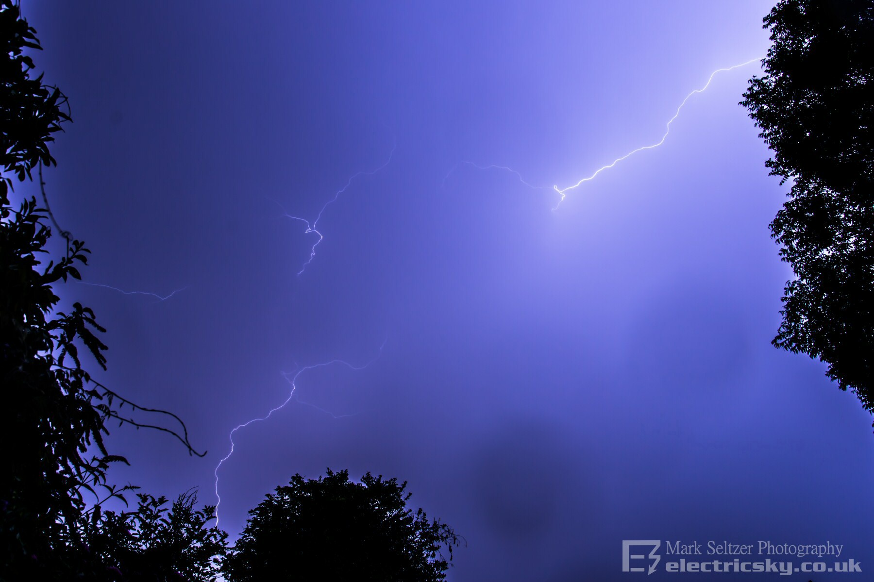
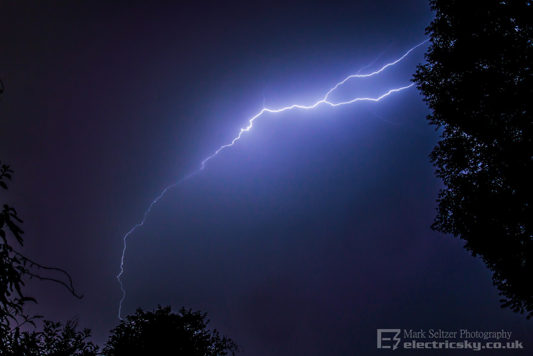
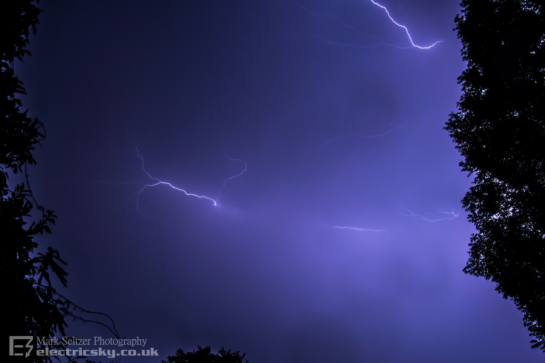
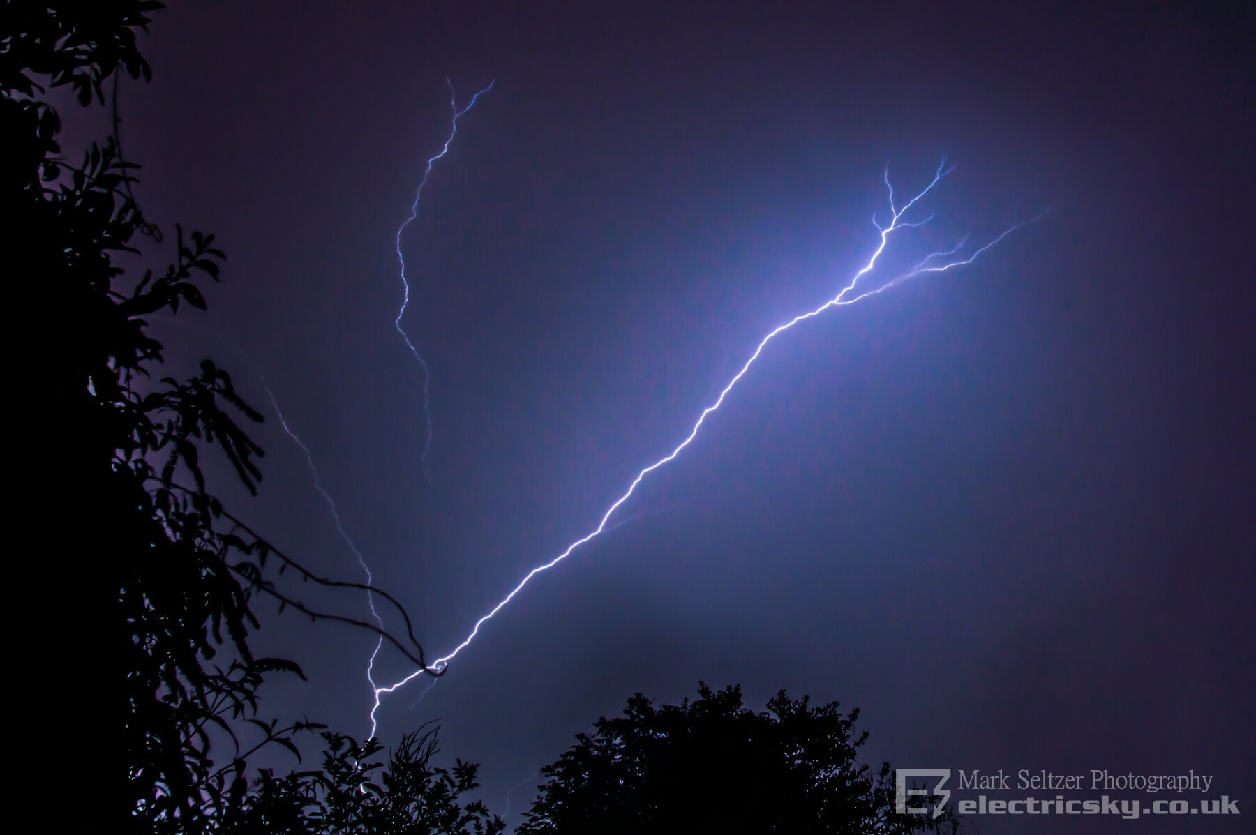
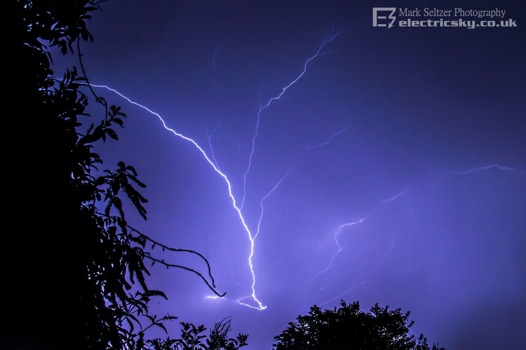
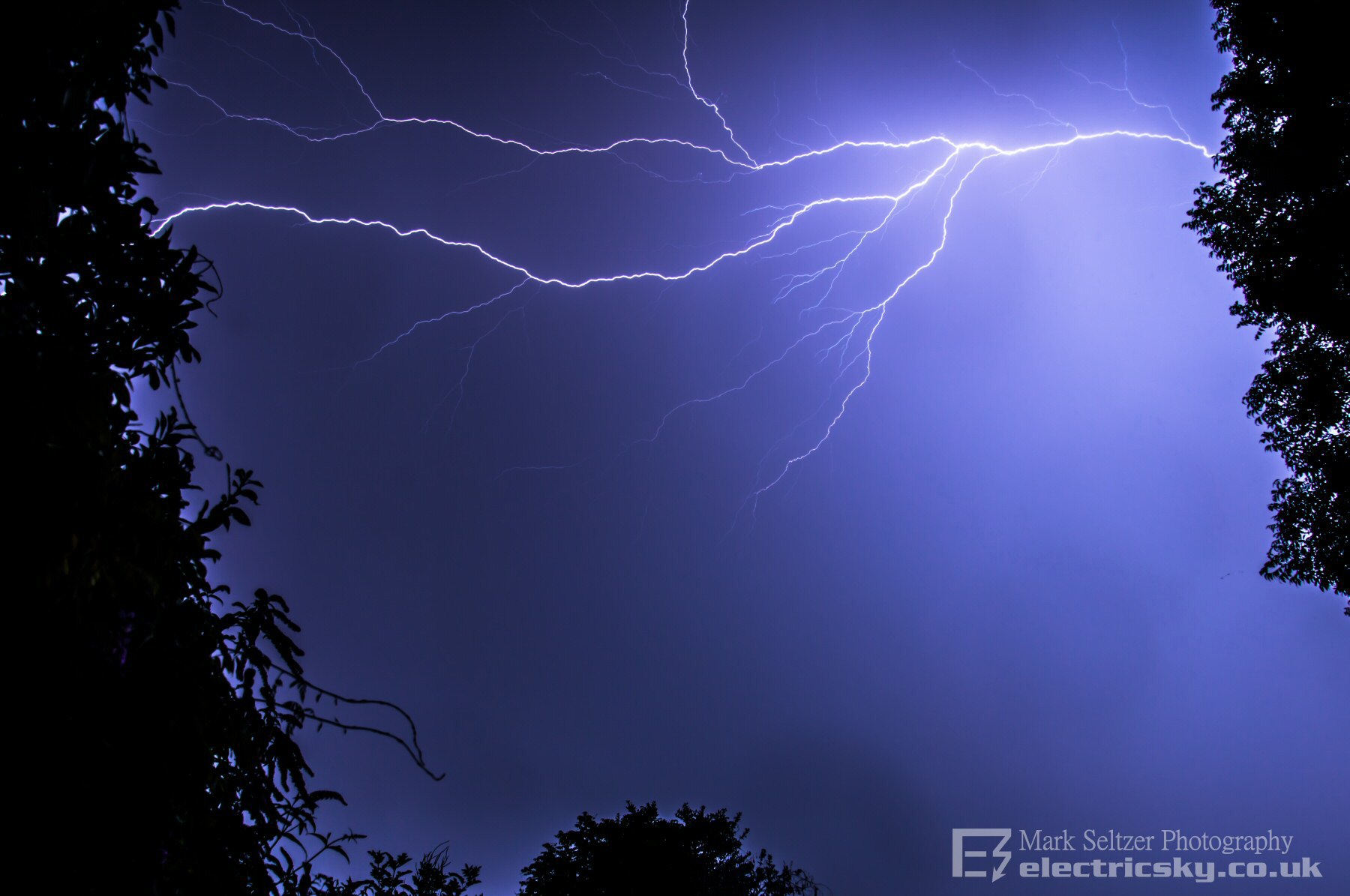
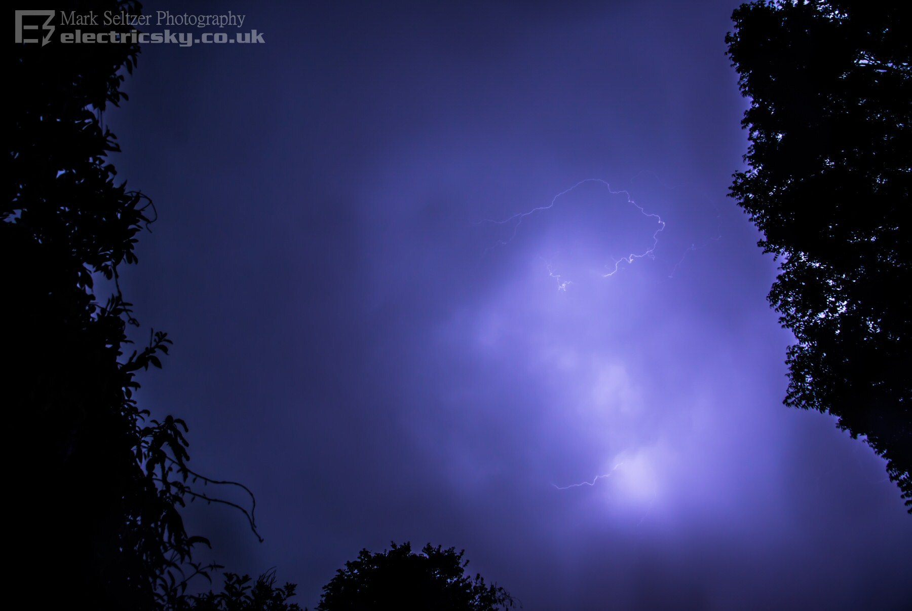
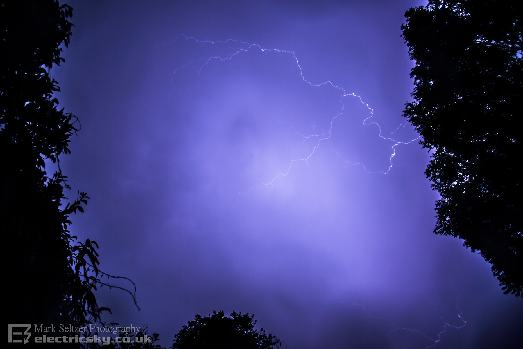
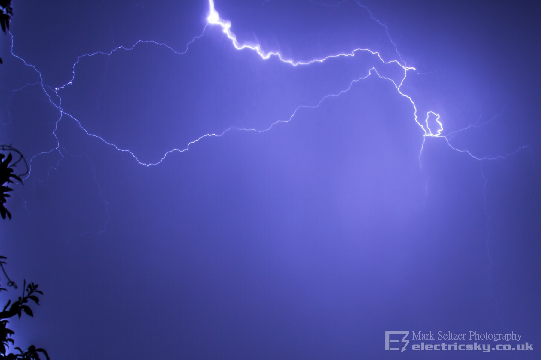
THUNDERSTORM T0108 Isolated but locally severe MCS storms fuelled affected southwest England through daylight hours (Coverack flooding and T0107) fuelled by a weak upper trough which destabilised parts of the northern edge of an elevated Spanish plume. Then, a broader, second trough from an accelerating polar jet in the Atlantic destabilised the core of the plume overnight and developed a line of strong thunderstorms across the whole south of the country. Widespread lightning was observed across the south with reports of the Shard in London getting hammered by strikes. 200 miles west of London, this elevated MCS was following the line, but as a separate entity. A lone back-building multicell cluster on the western edge of the plume which went directly over Exeter, giving Exeter the best thunderstorm (at least I've seen) in many years.
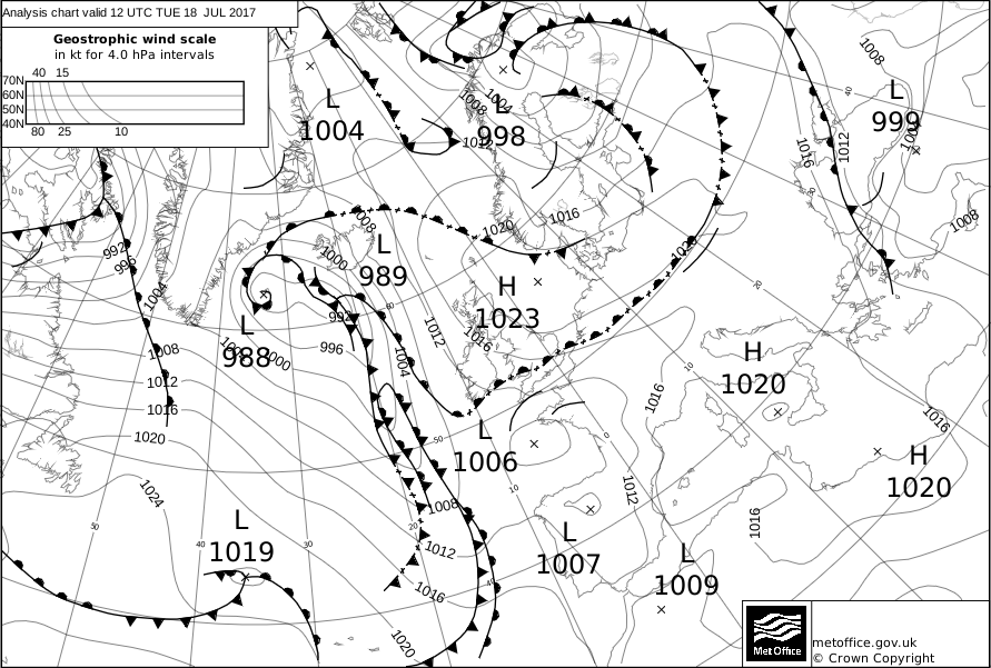
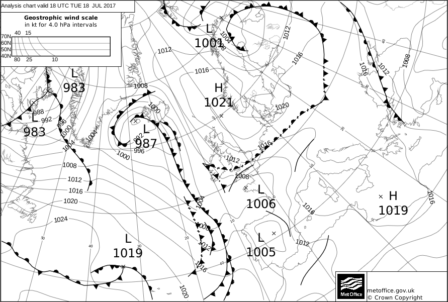
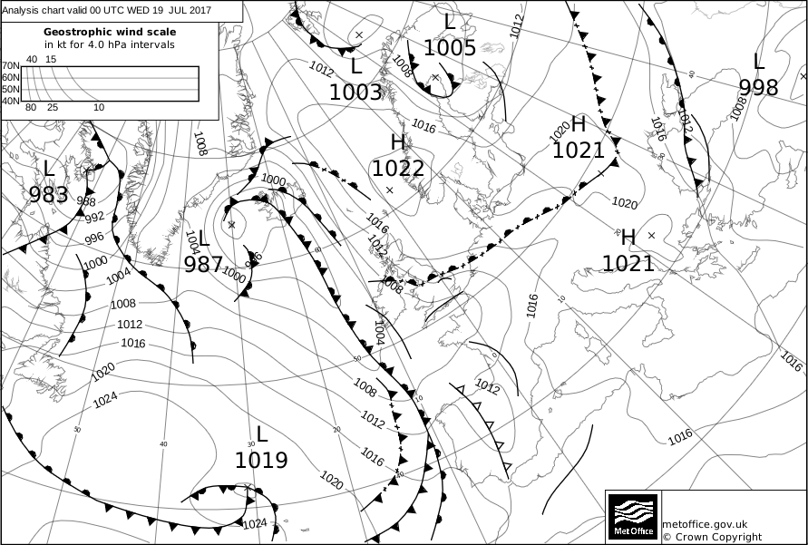
CHARTS
(Credits)
|


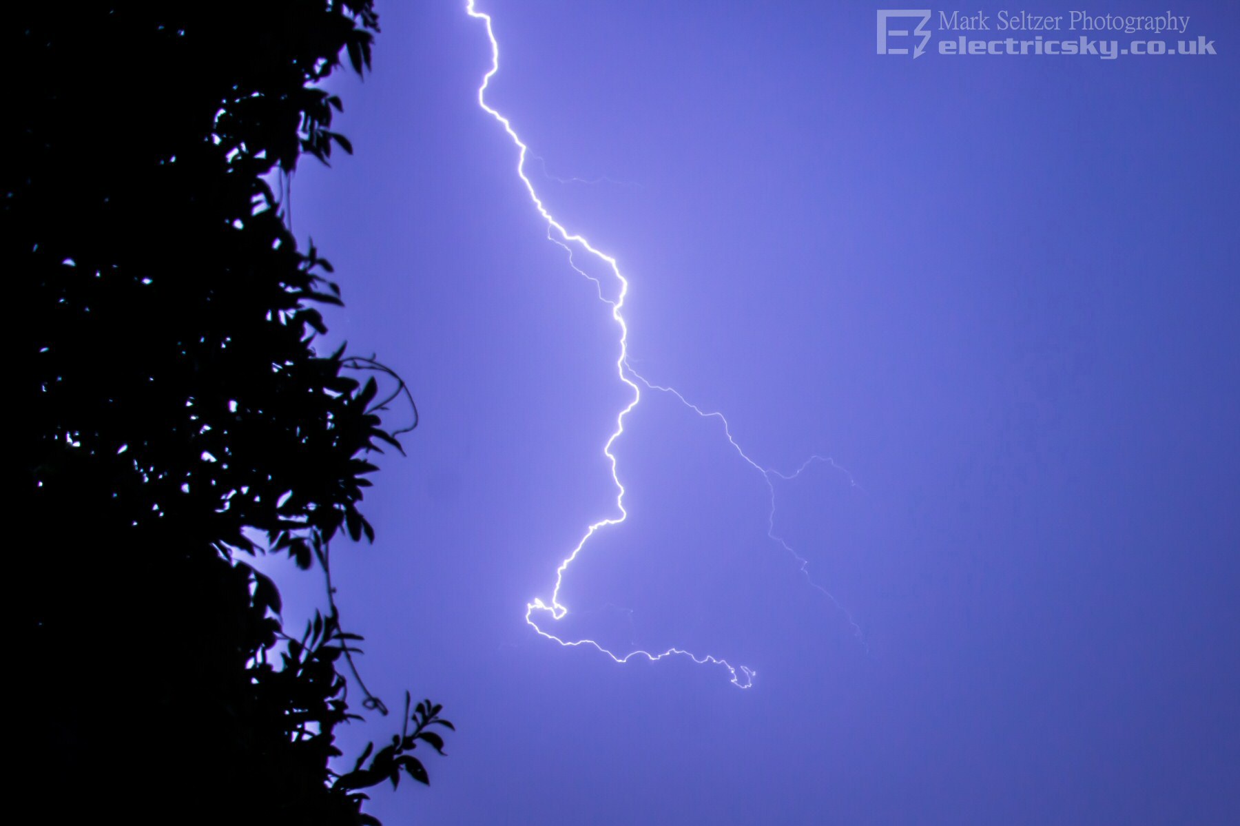
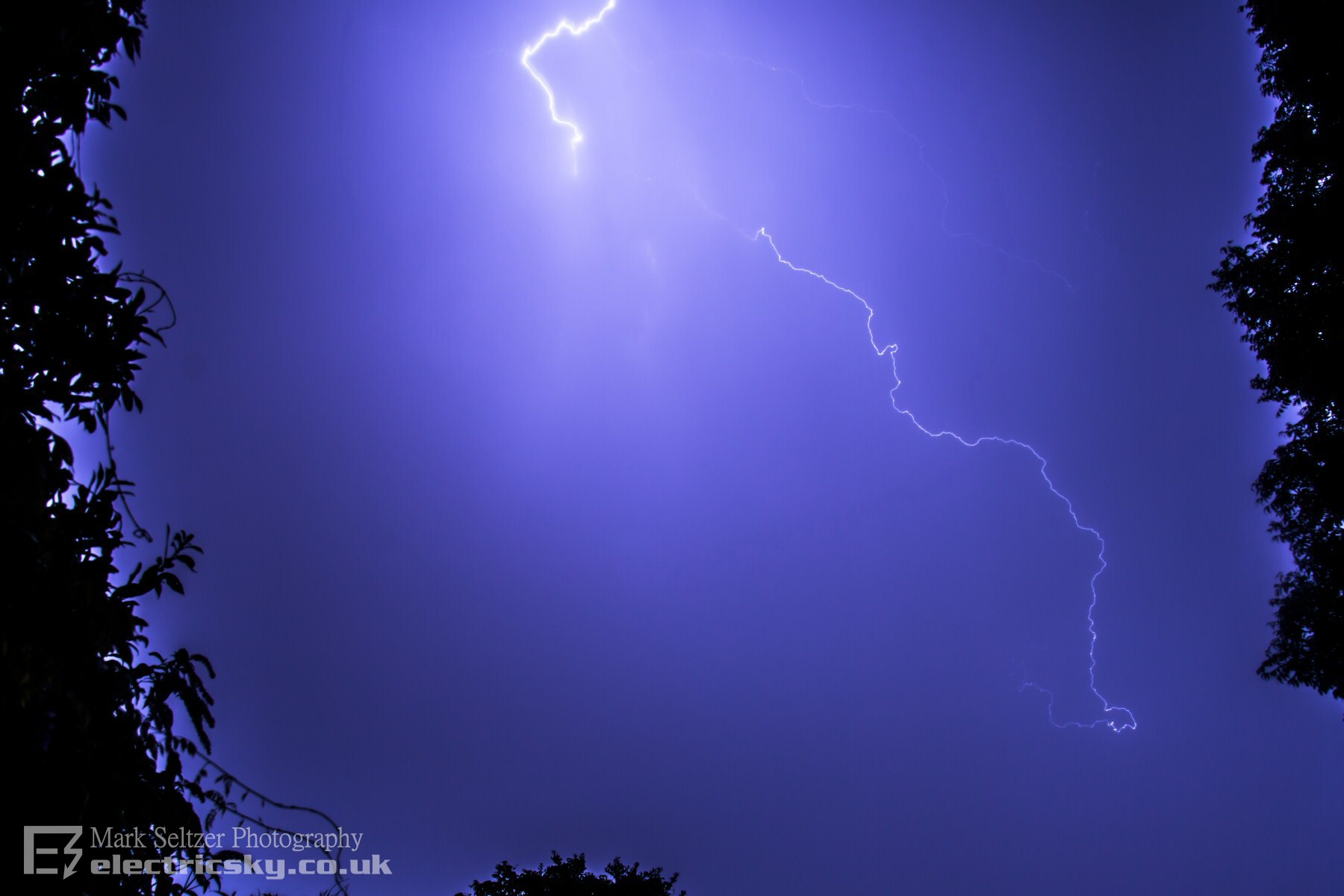
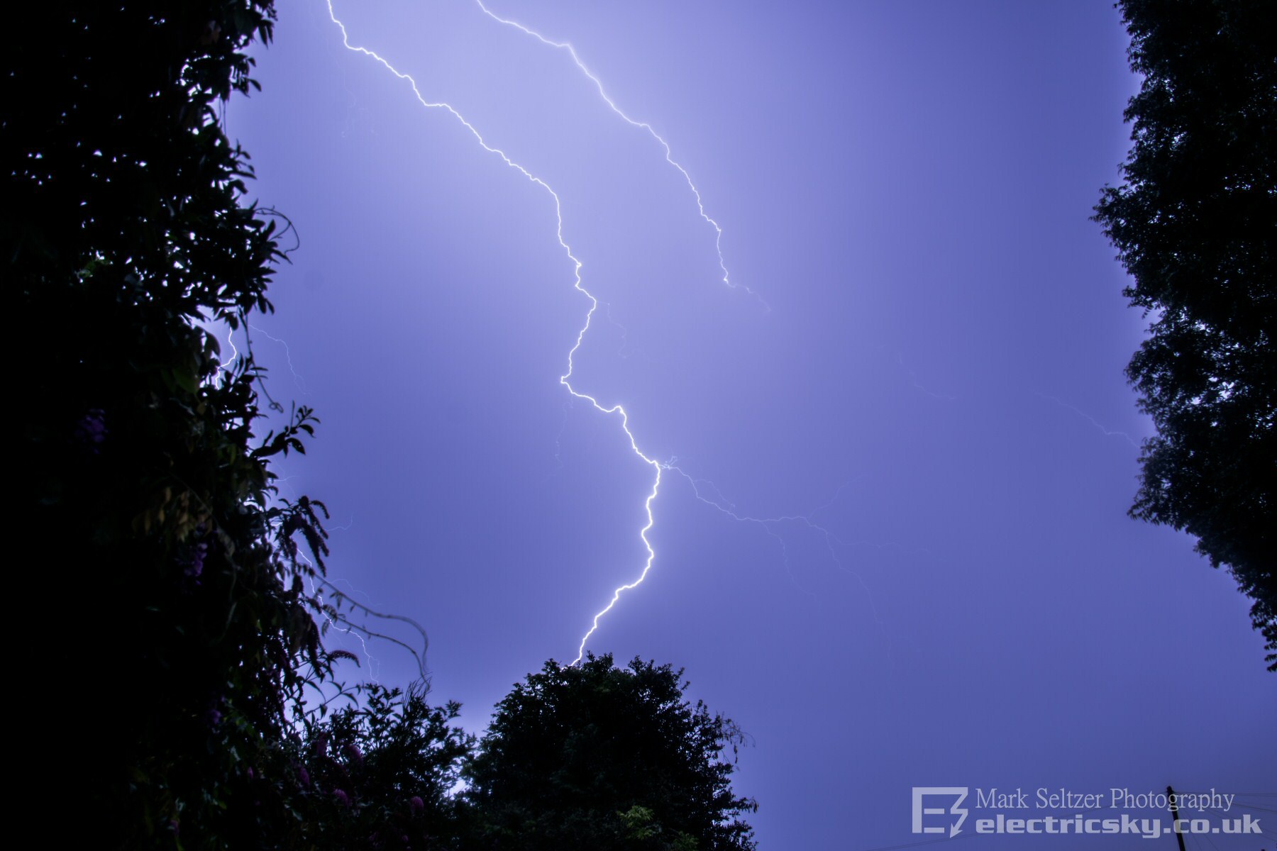
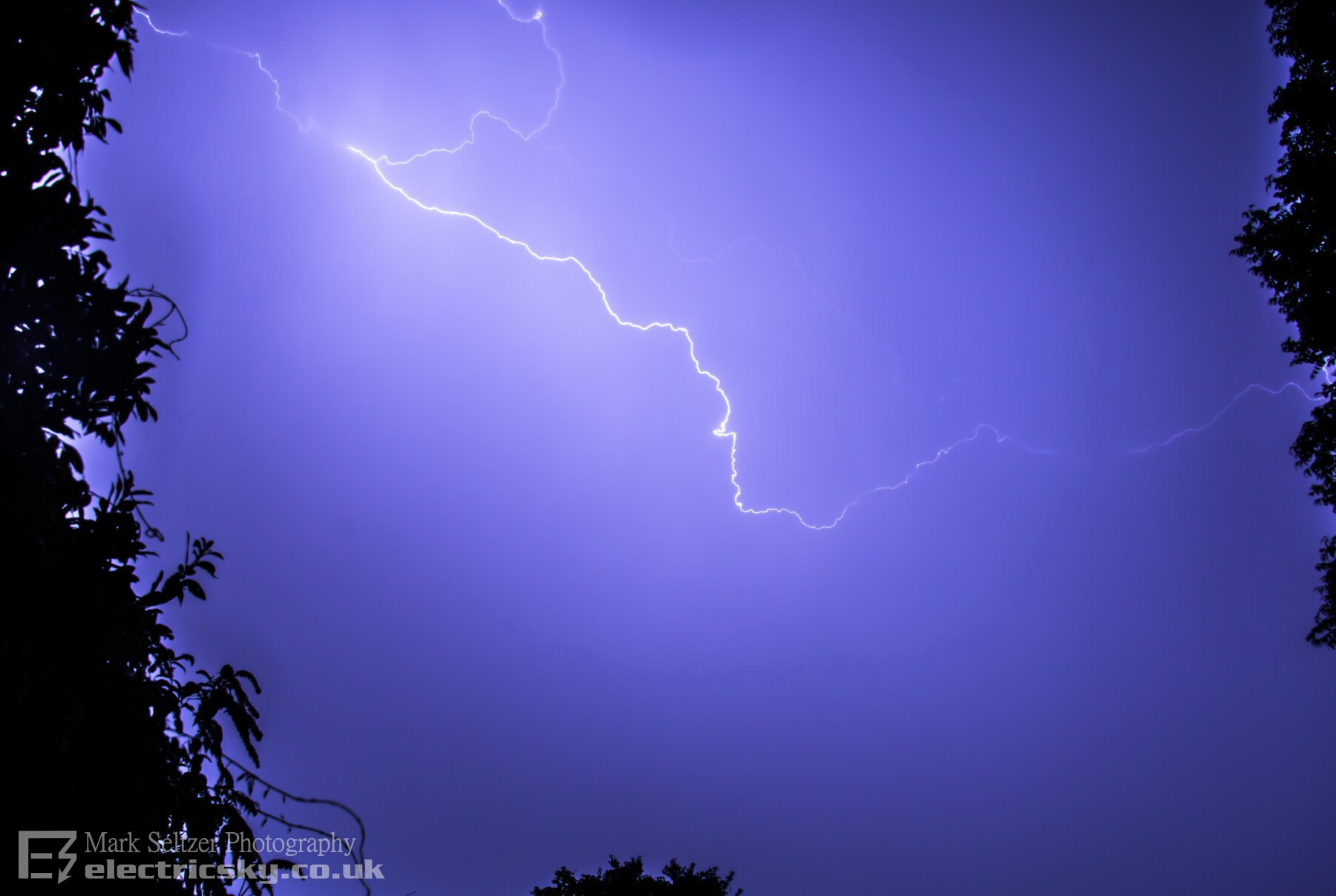

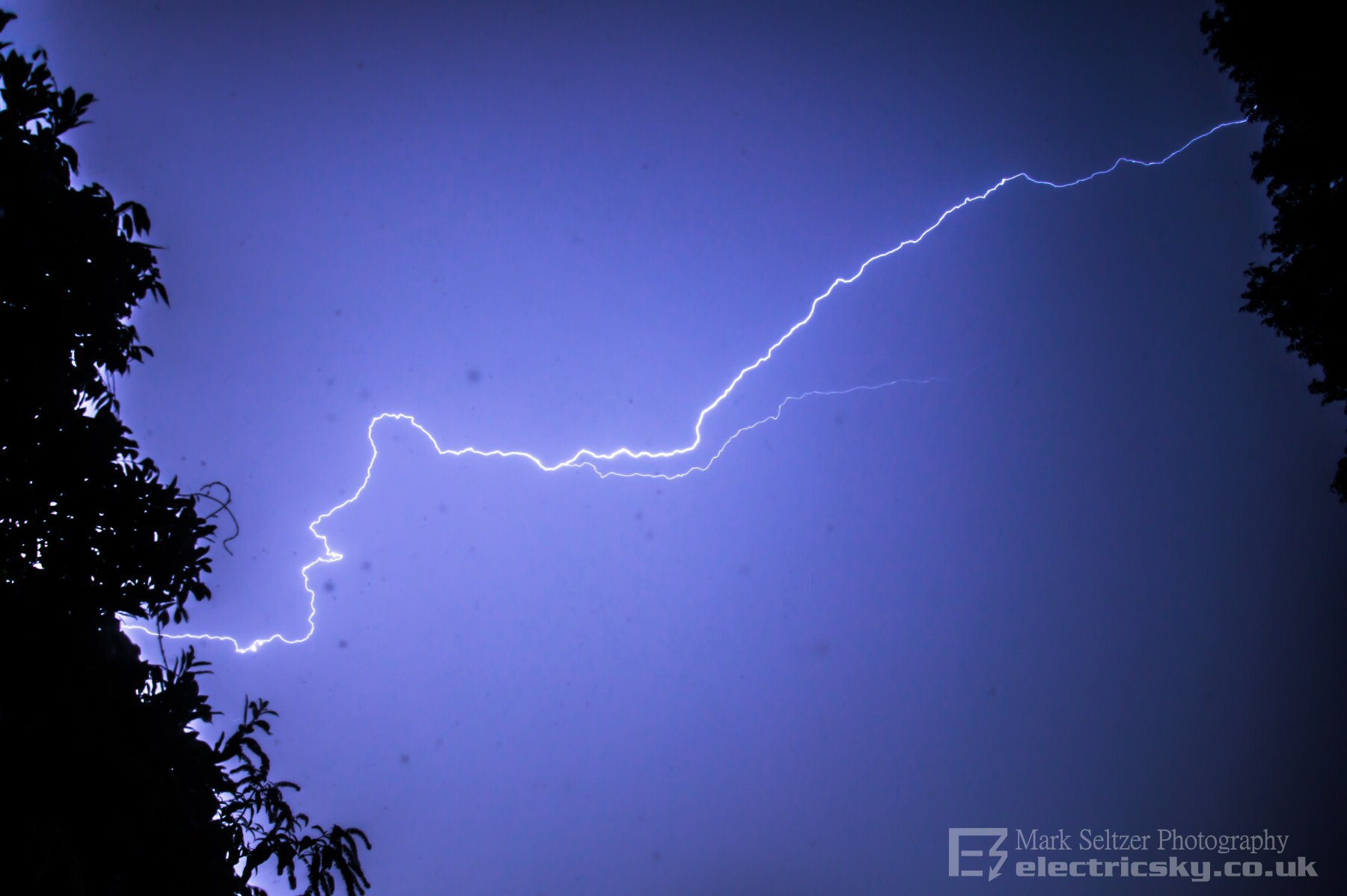
© Mark Seltzer
www.electricsky.co.uk