
![]()
|
PASSING
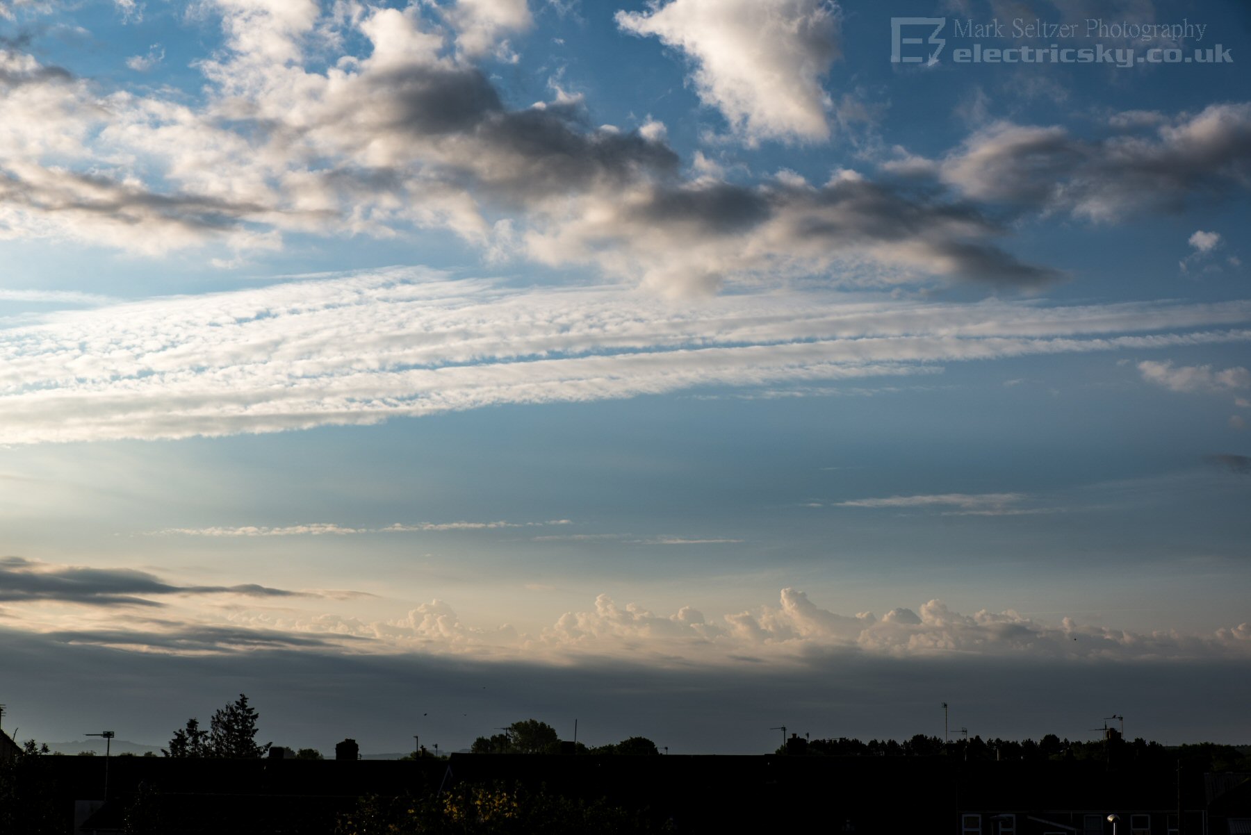
STORM PS0009 A late-spring continental plume arrived across the English channel during the 15th, with early Altocumulus Cast lines visible in the far distance of the morning sunrise.
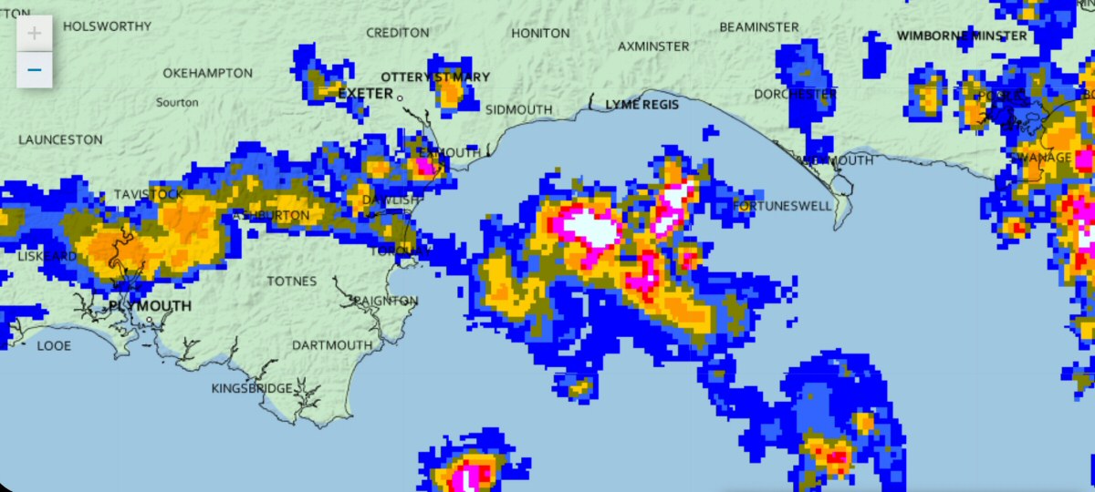
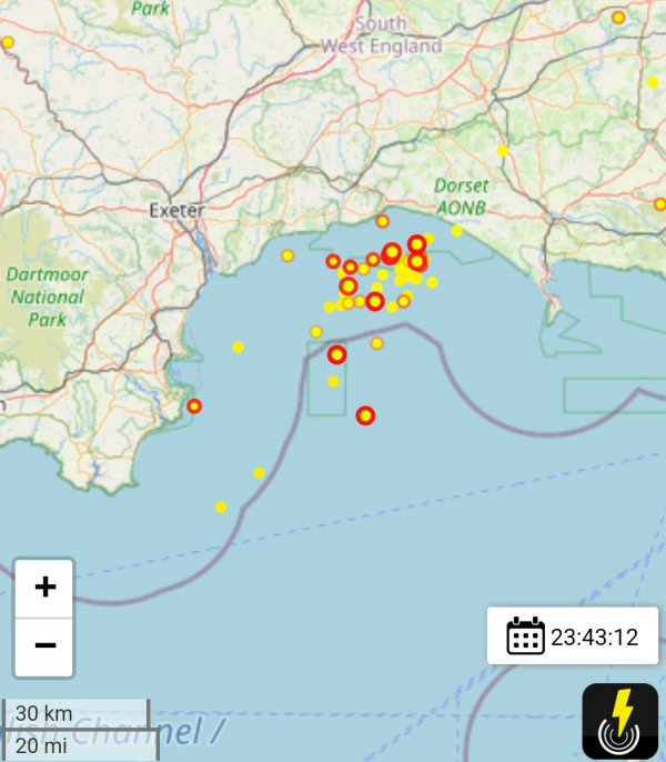
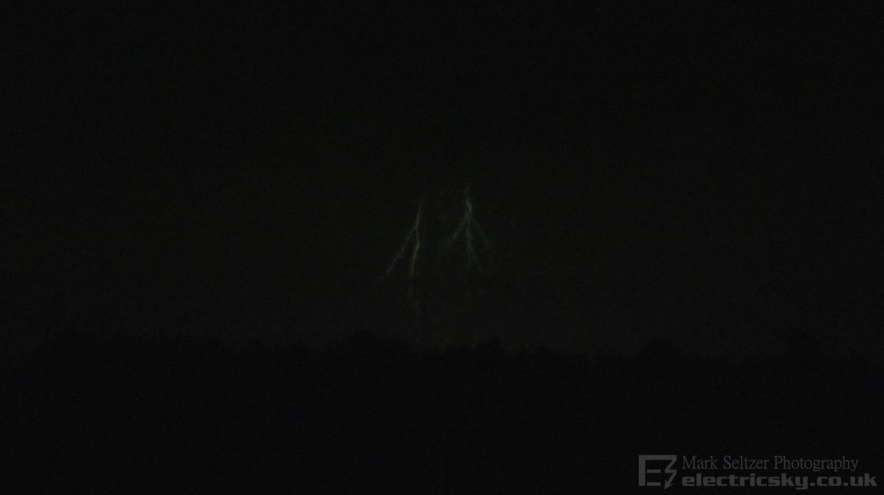
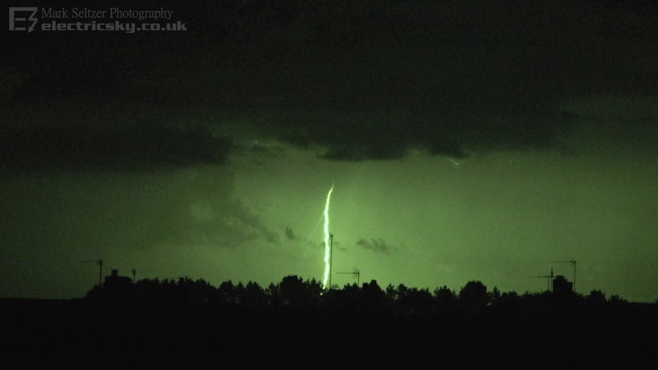
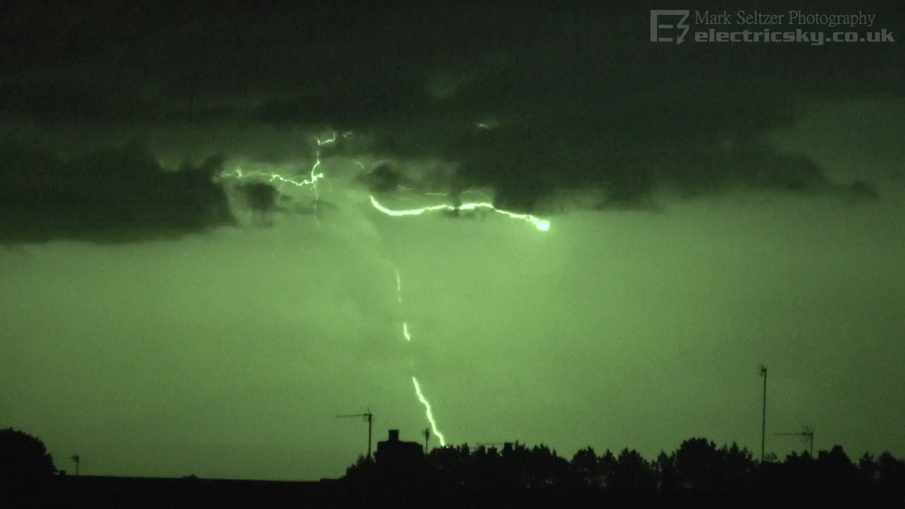
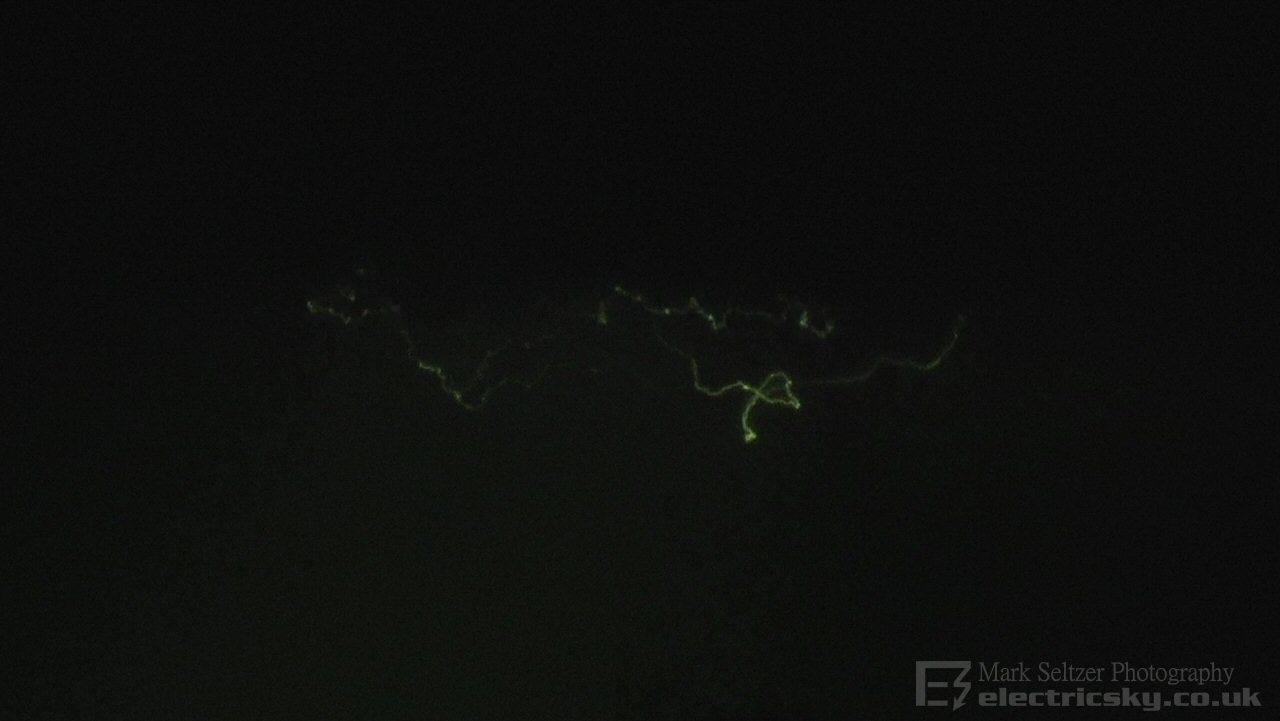
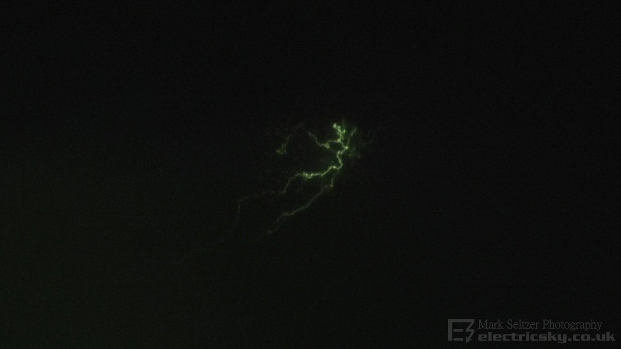
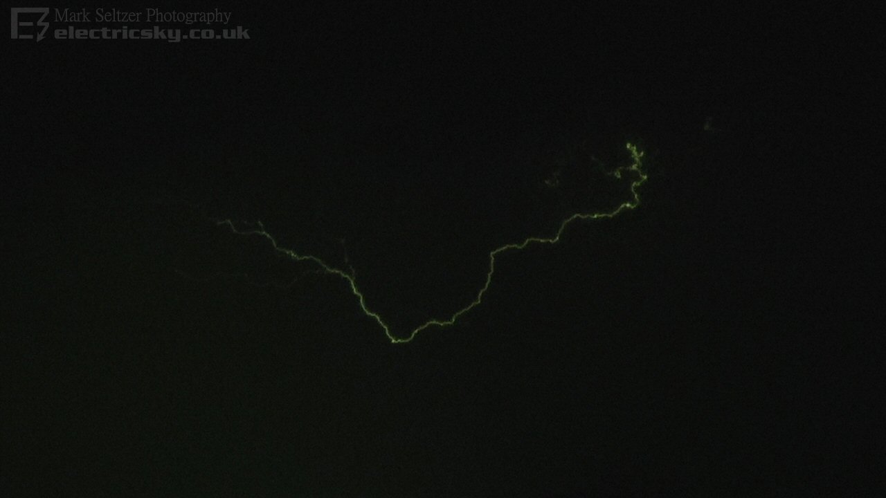
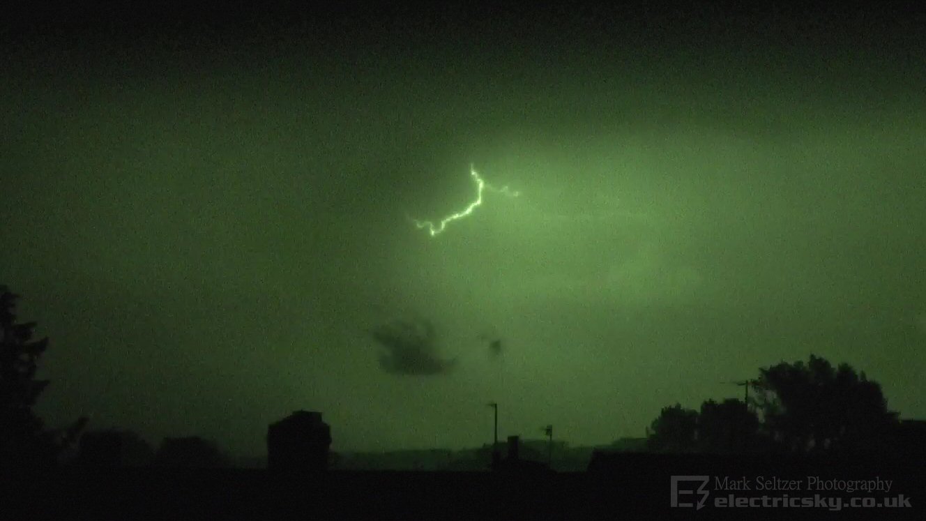
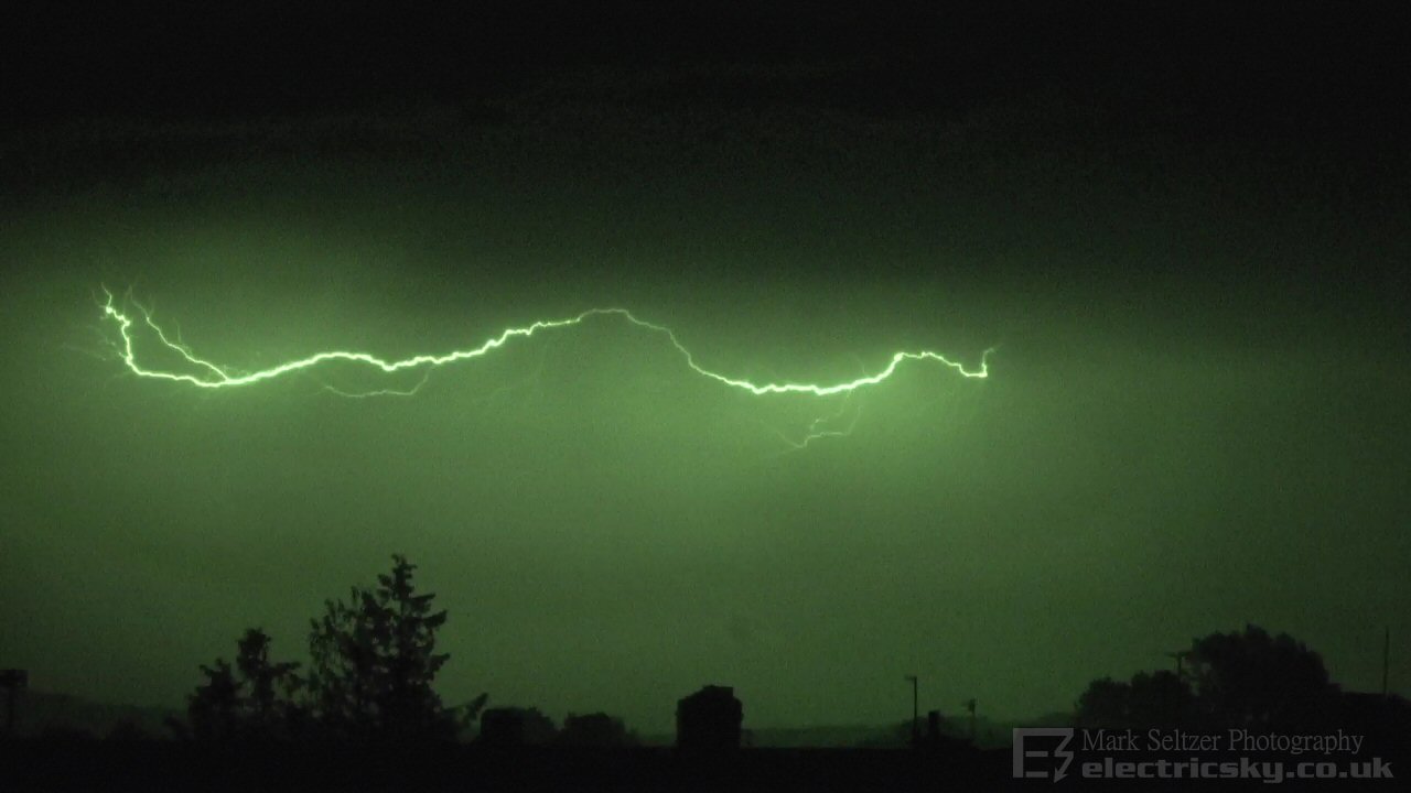
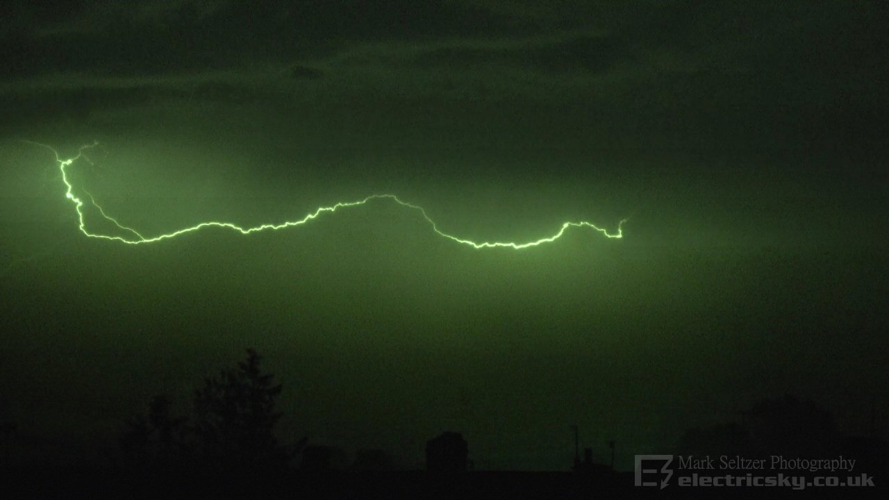
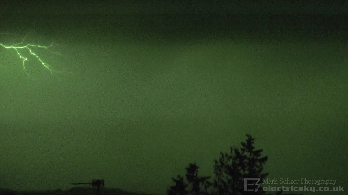
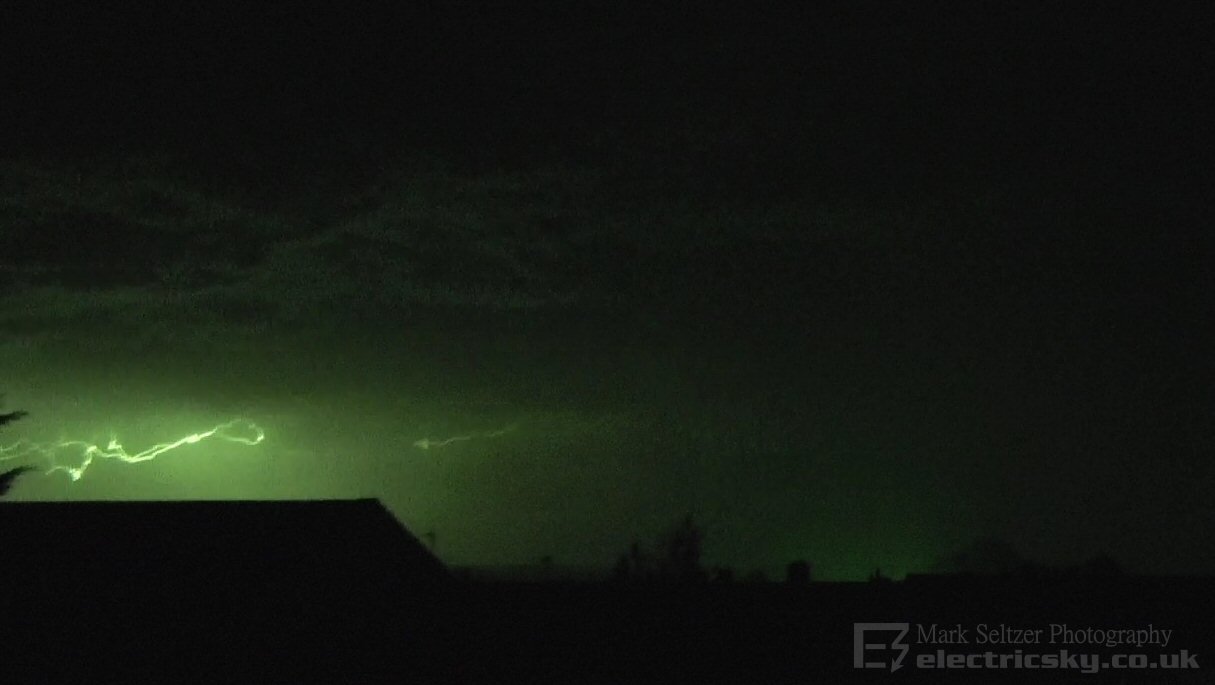
The plume was slow, and eventually destabilised in Lyme Bay which resulted in a few elevated Multicells running into the Dorset coastline. It was barely visible from Exeter, but I filmed it anyway on near maximum zoom in case there were any interesting strikes. There was a double-pronged stepped leader finishing to a single CG, and a few large C-C strikes which showed up quite well. Also a screenshot of radar and lightning below.
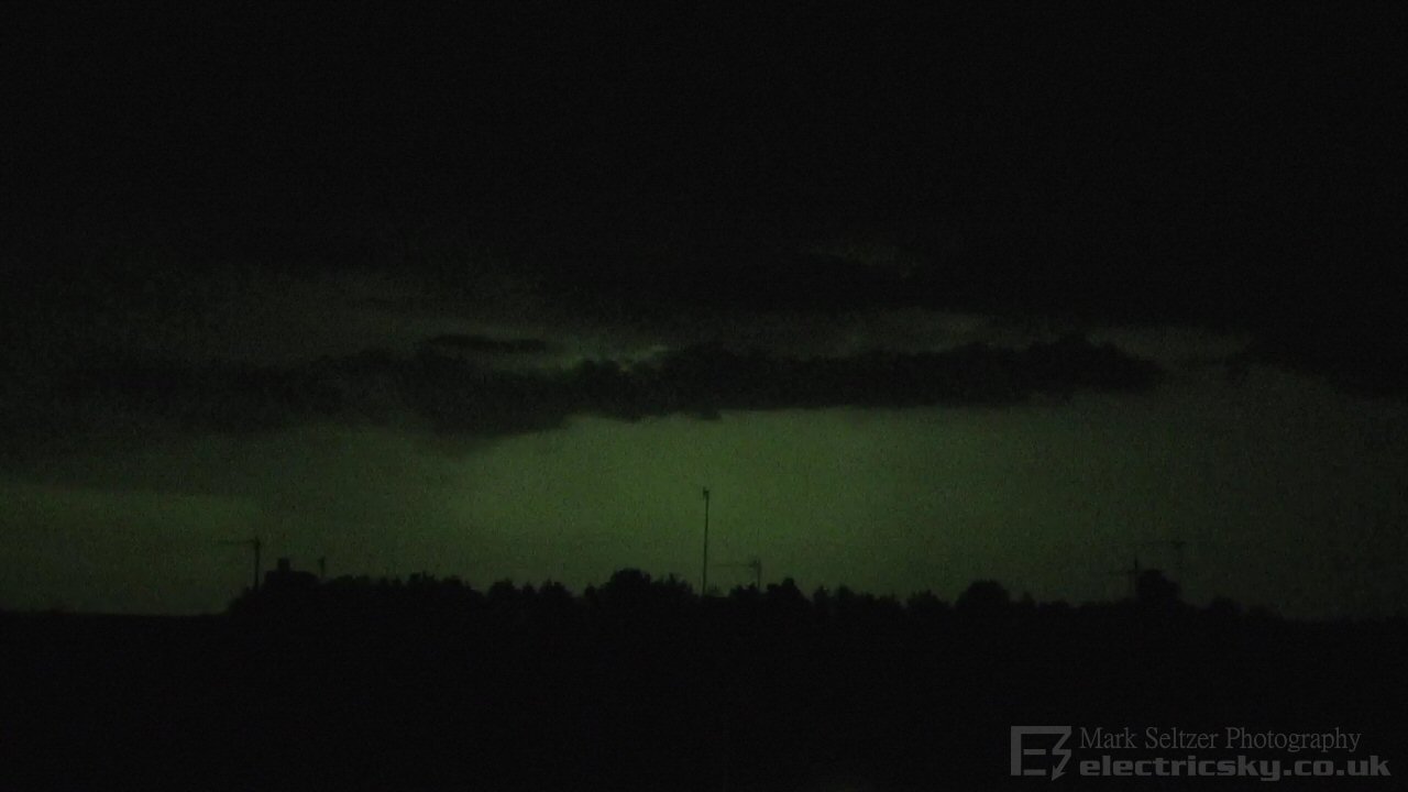
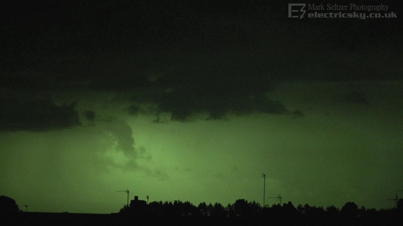
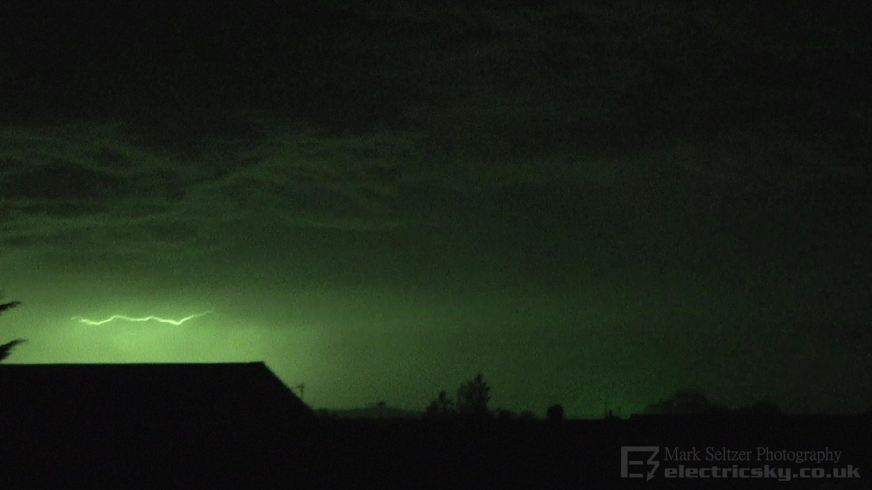
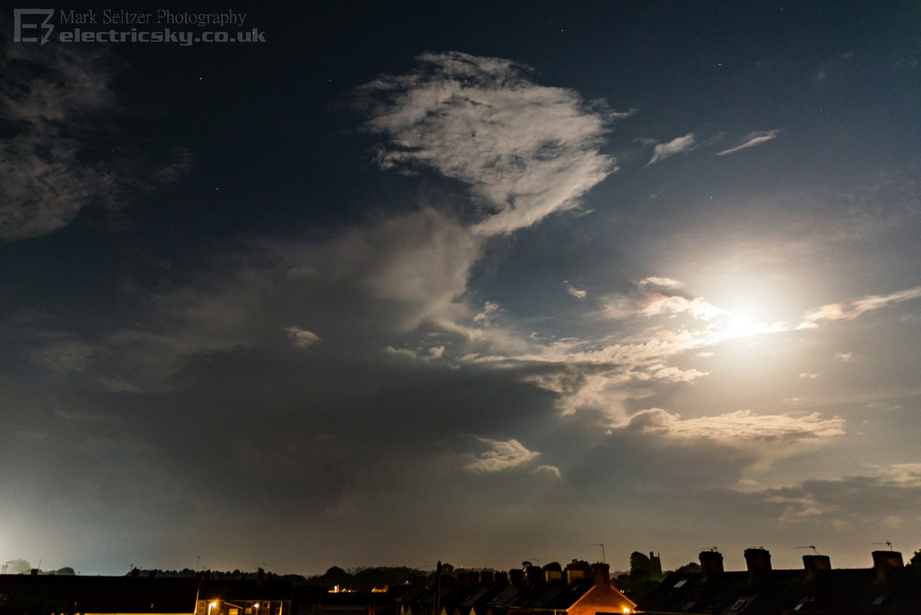
Meanwhile, stronger cells were developing closer to the thermal plume max further east over Hampshire and the Isle of Wight (behind this cell), with fellow photographers there experiencing a much more impressive light show there. Our storm eventually drifted away into the far distance and out of view. Below is a long exposure shot of a trailing cell across Lyme Bay which followed a little later, featuring the Moon and stars.
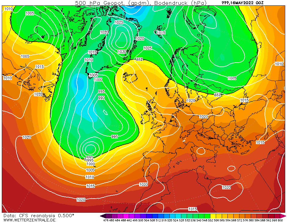
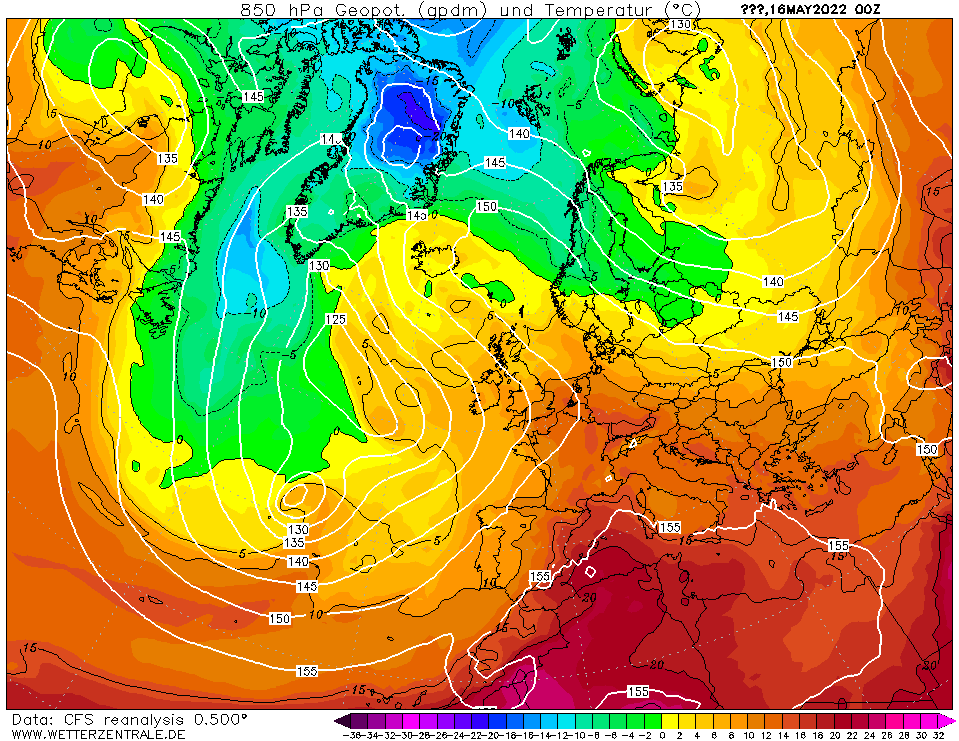
CHARTS
(Credits)
|

© Mark Seltzer
www.electricsky.co.uk