
![]()
|
PASSING
STORM PS0012
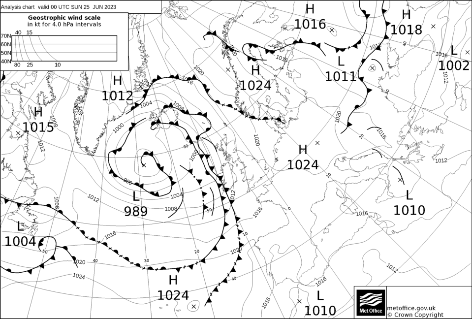
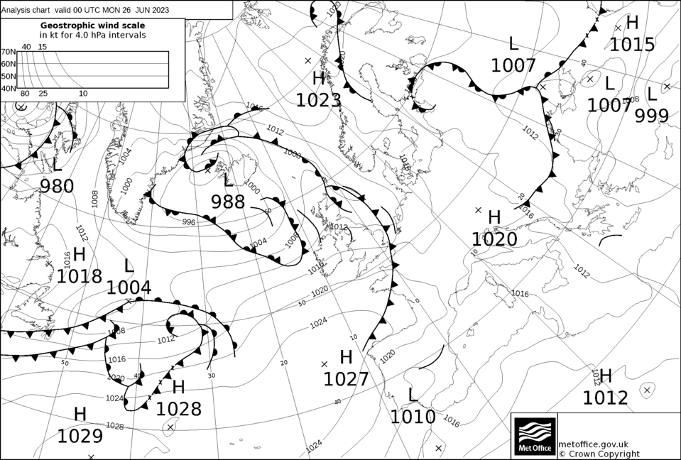
A complex boundary
layer situation, combined with upper tough and various surface convergence
lines associated with a surface low allowed a line of storms to develop out
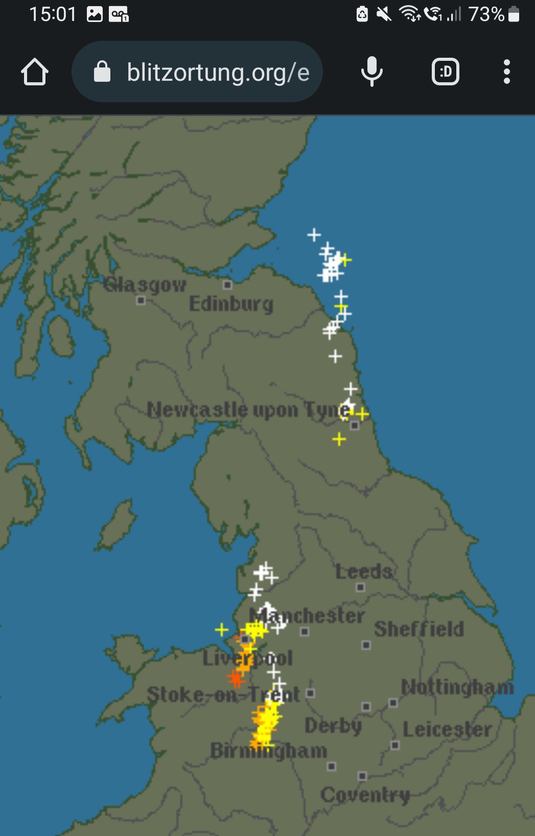
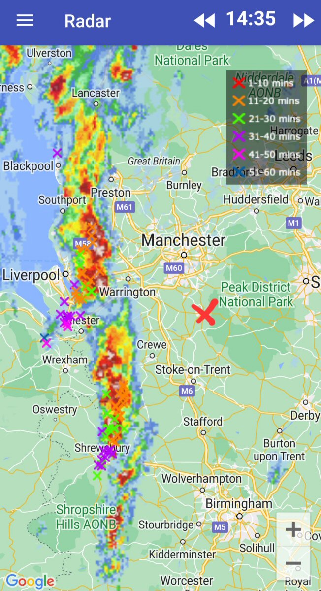
of the Welsh Marches and progress eastwards across Cheshire. A few strikes
upstream, but it tended to fizzle on it's approach. I didn't see much lightning activity at this stage, as the line was clearly losing it's convective peak, but I did notice one distant CC (pictured below, far left) before the front arrived.
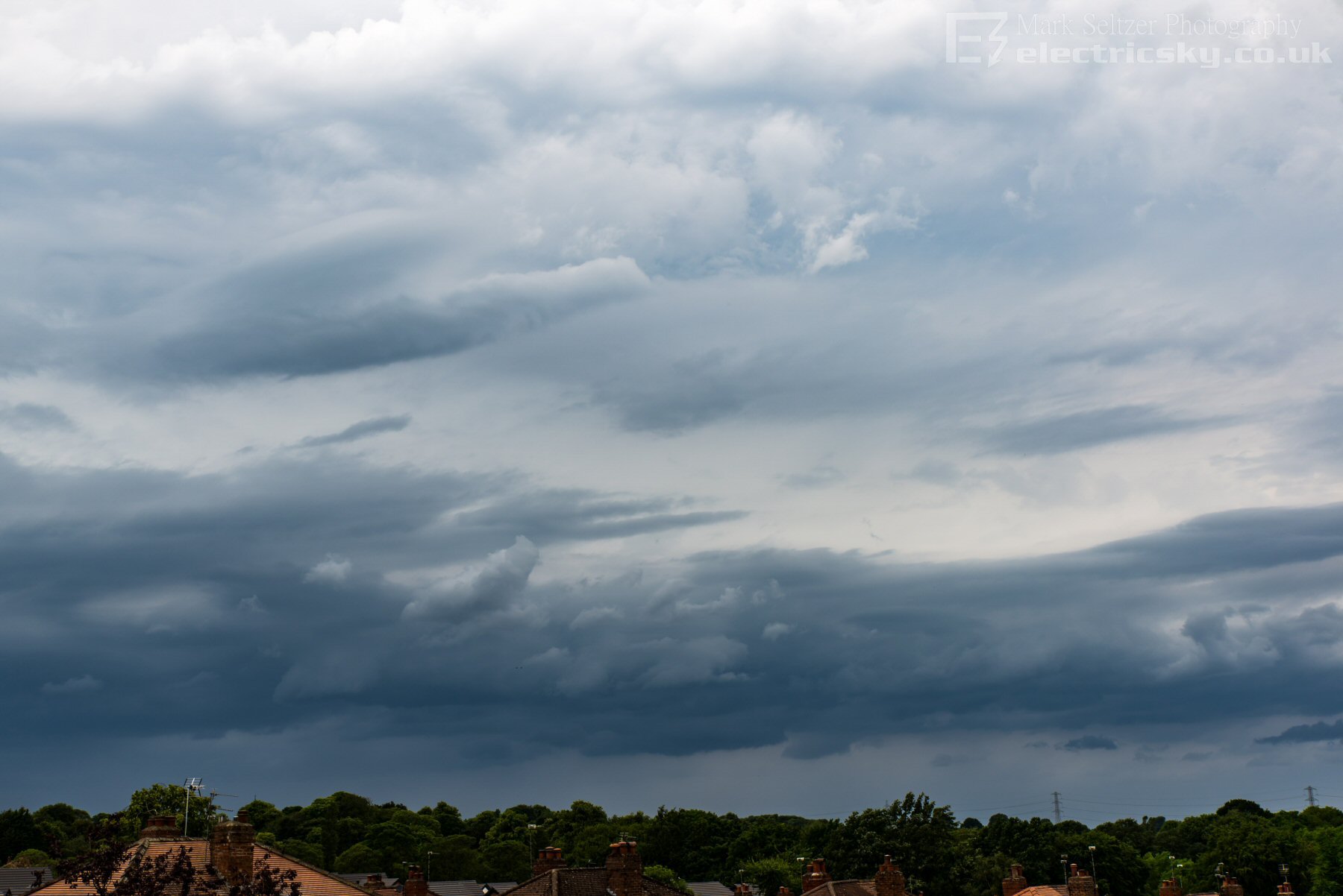
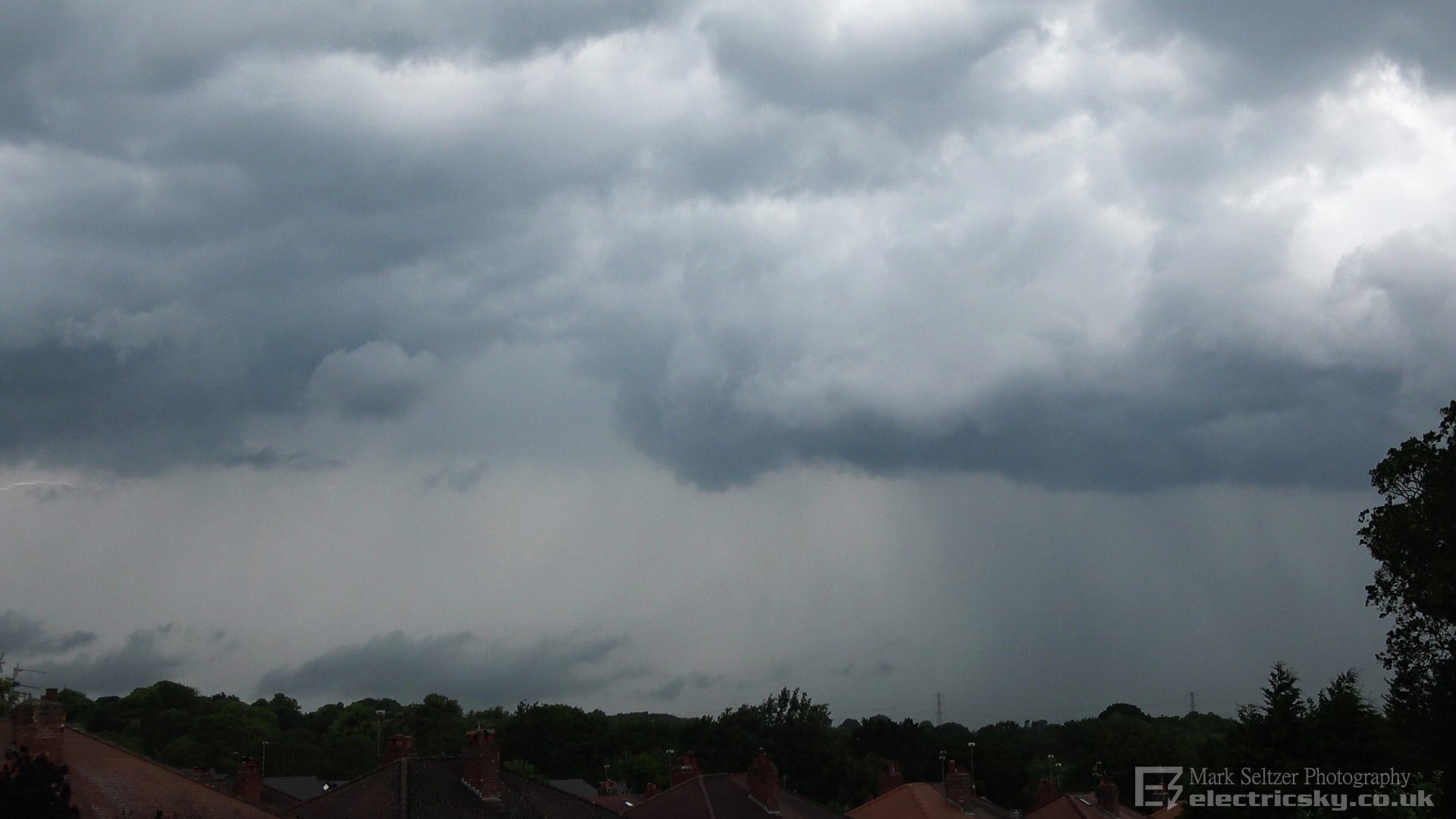
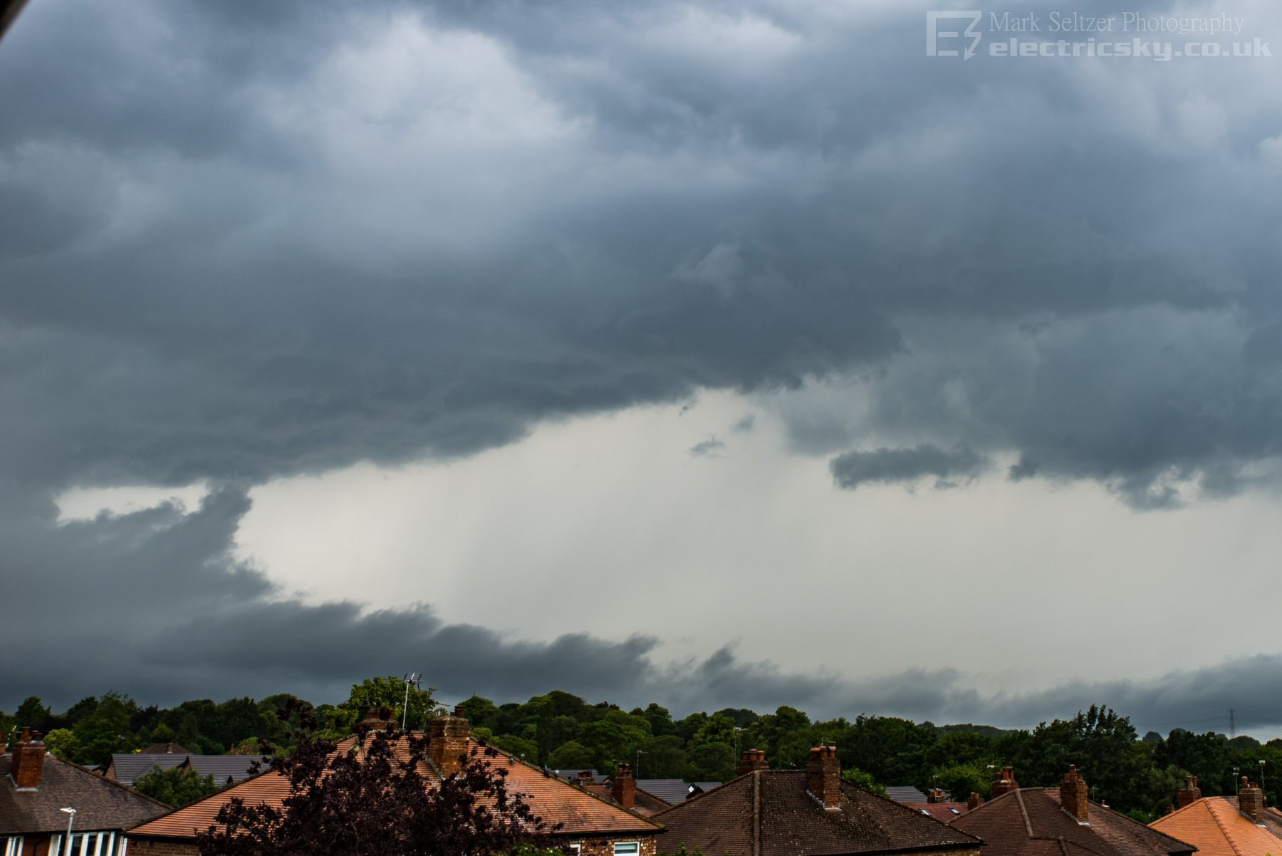
This came at the same time (around 1525-1530BST) as the surface gust front arrived across Macclesfield, with some pretty surprisingly sturdy winds given the slack pressure pattern. It was bending the trees right over for a time. This excess turbulence was also evident by the advancing rolling arcus and some rotors seen in Stratus Fractus to the north of me. The stratus was starting to get low off to the west, indicating a surface front was probably nearing (much lower than the convective storm base).
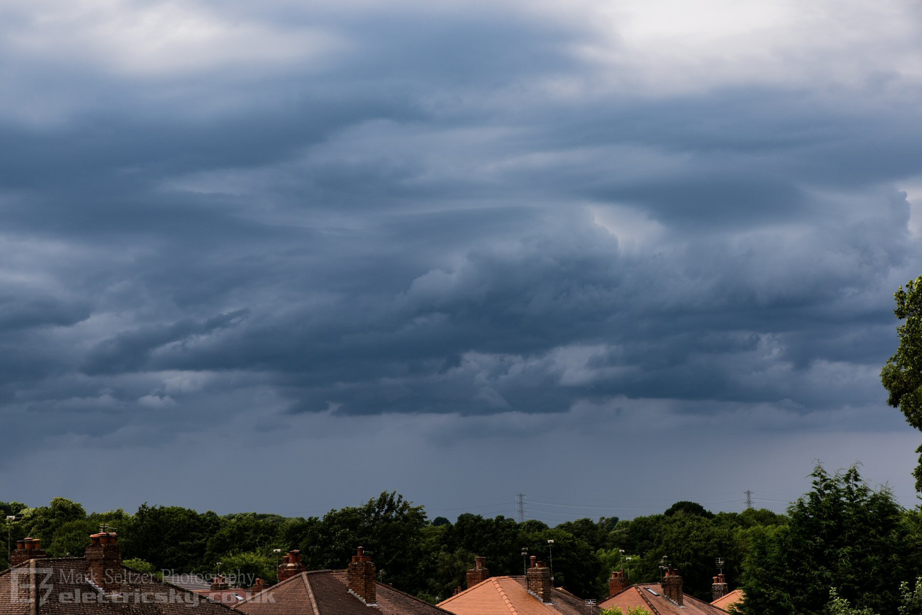
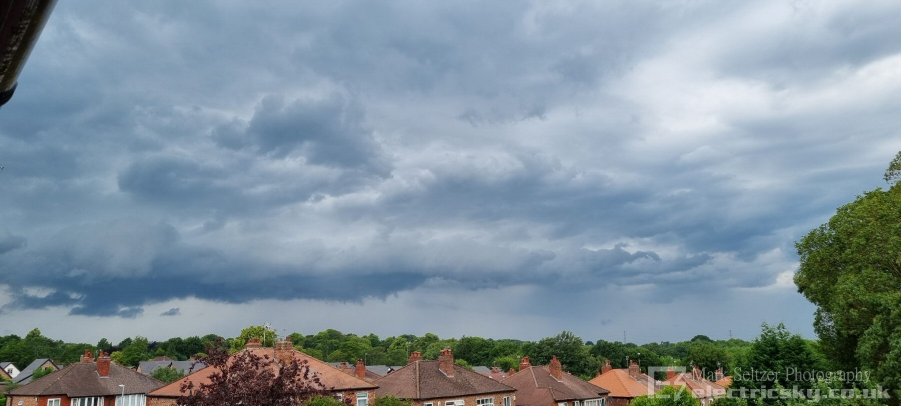
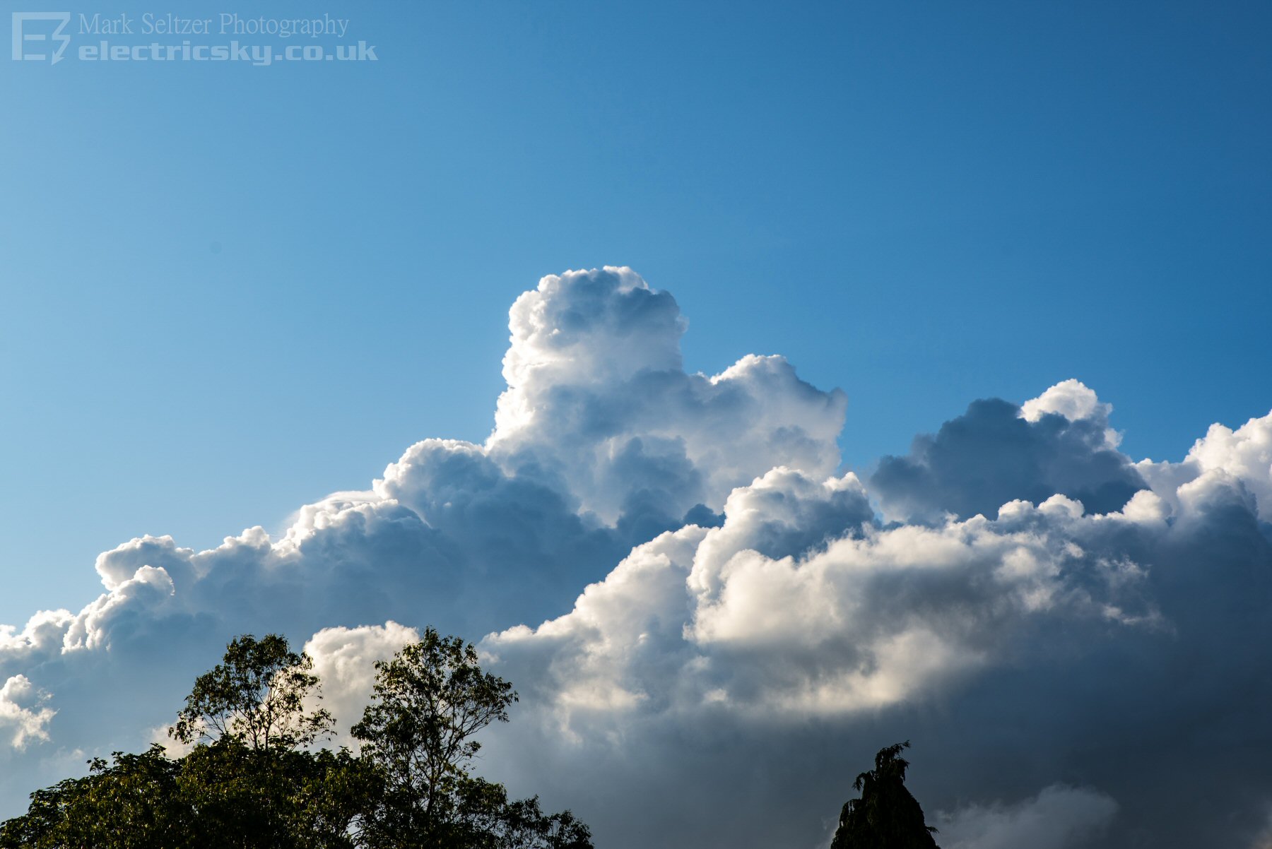
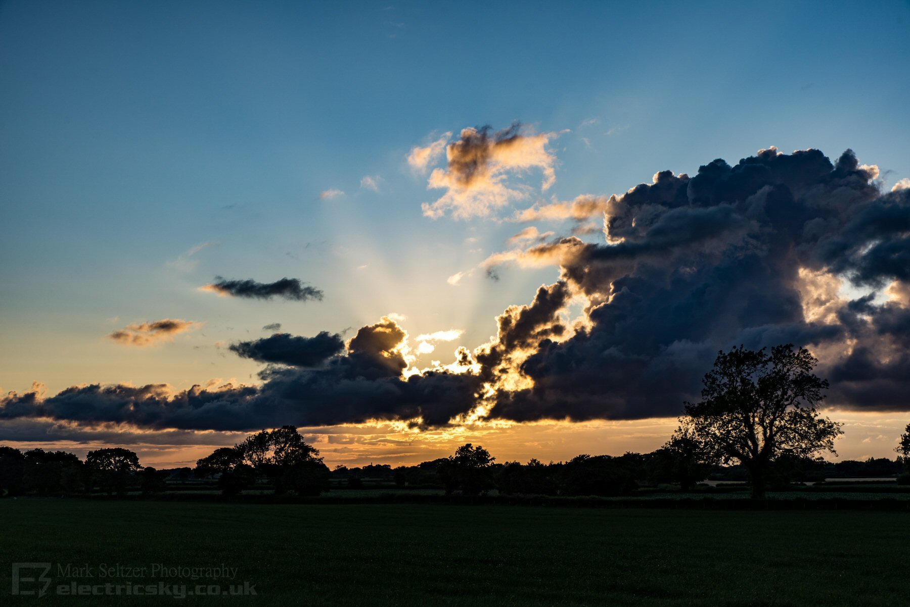
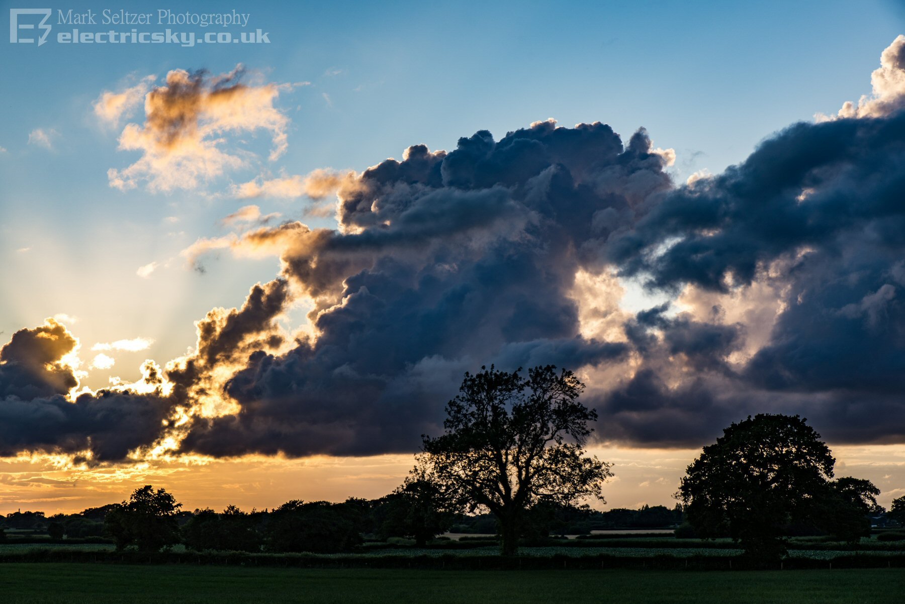
A few minutes later, as the time-lapse shows, the stratus increased and its movement changed direction from southwest to coming from the northwest, i.e. the surface wind veered all the way around to the northwest as the front passed, indicating a sharp convergence zone. The upper cloud was still heading in from a west or southwest direction. Eventually the new boundary layer deepened and became almost unidirectional through height as front and associated cloud cleared northeastwards. Left behind in the setting Sun was a train of convergent cumulus, ending the day nicely (pics below taken just outside of Congleton).
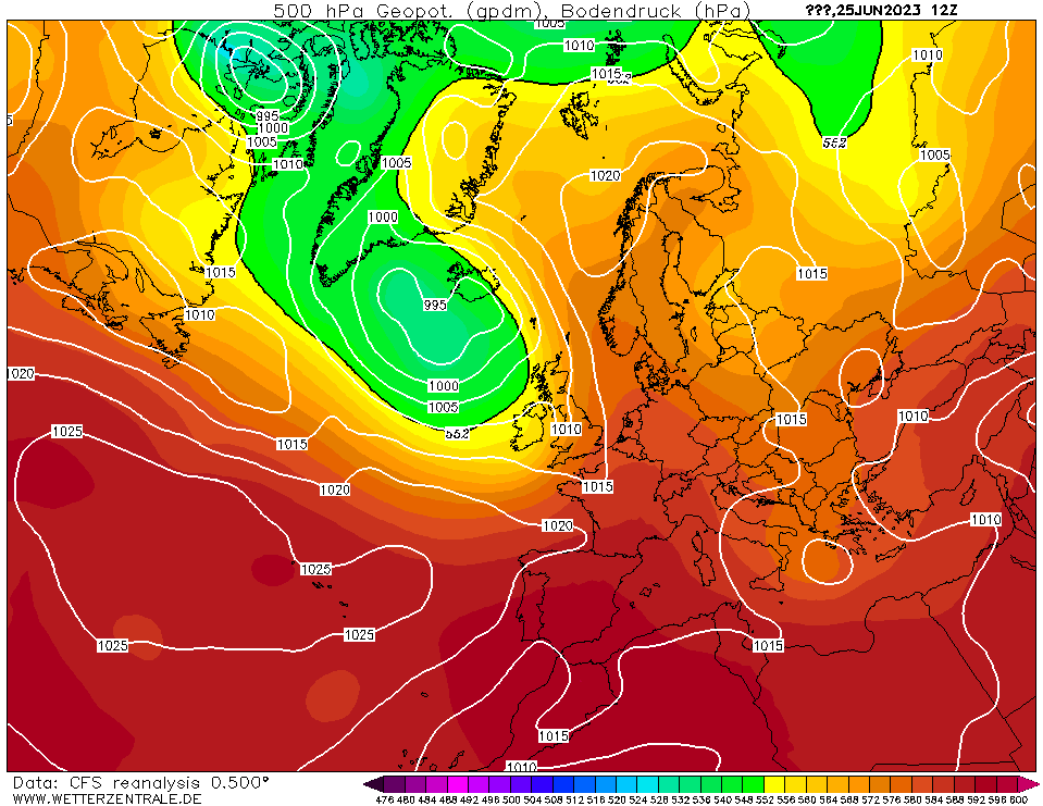
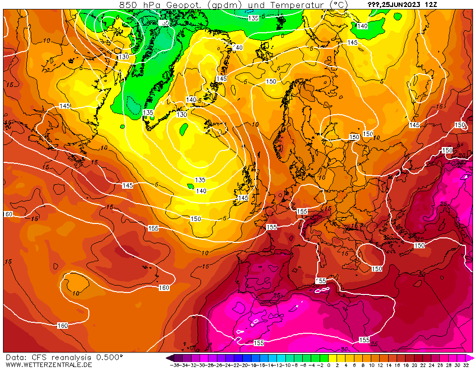
CHARTS
(Credits)
|
© Mark Seltzer
www.electricsky.co.uk